Embed Size (px)
Citation preview
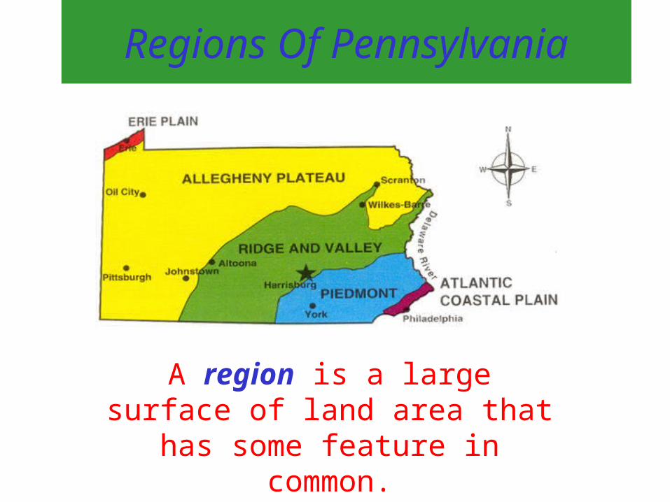
Regions Of Pennsylvania
A region is a large surface of land area that has some feature in
common.

Atlantic Coastal Plain
Delaware River and Philadelphia
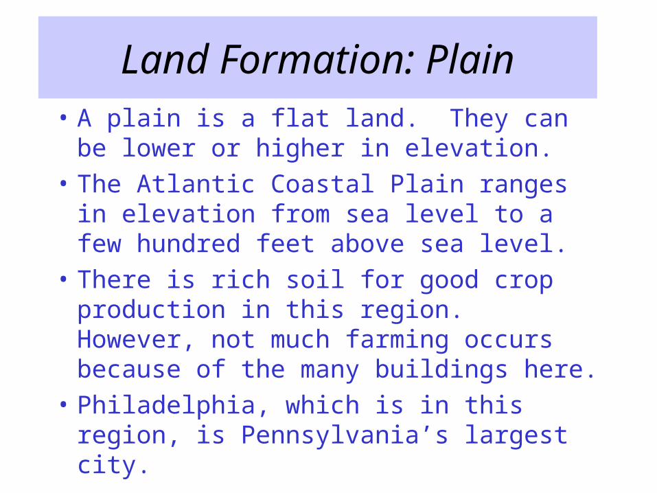
Land Formation: Plain
• A plain is a flat land. They can be lower or higher in elevation.
• The Atlantic Coastal Plain ranges in elevation from sea level to a few hundred feet above sea level.
• There is rich soil for good crop production in this region. However, not much farming occurs because of the many buildings here.
• Philadelphia, which is in this region, is Pennsylvania’s largest city.
Climate: Philadelphia
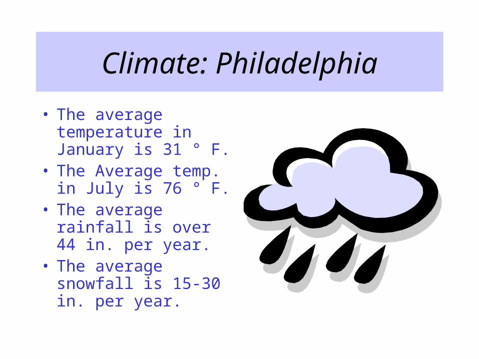
• The average temperature in January is 31 ° F.
• The Average temp. in July is 76 ° F.
• The average rainfall is over 44 in. per year.
• The average snowfall is 15-30 in. per year.

Interesting Facts of This Region
• Location – This region is located in the southeastern part of Pennsylvania.
• Philadelphia is known as a port city. This is because ships can sail up the Delaware River from the Atlantic Ocean to import and export goods.
• This region was part of the ocean millions of years ago.
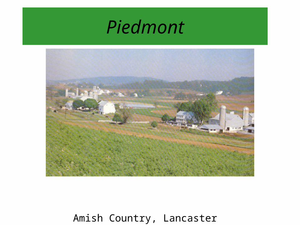
Piedmont
Amish Country, Lancaster County

Land Formation: Gentle Rolling Hills
• A Piedmont is land that lies at the base of a mountain.
• This region has gentle rolling hills with elevations ranging from 100 to 600 feet above sea level.
• It has the longest growing season in Pennsylvania because of its milder climate.
• The city of Lancaster is in this region, which makes products that are sent around the country.
• This region contains many farms which are run by the Amish. Amish are people who farm without modern equipment because of their religious beliefs.
Climate: Reading Area
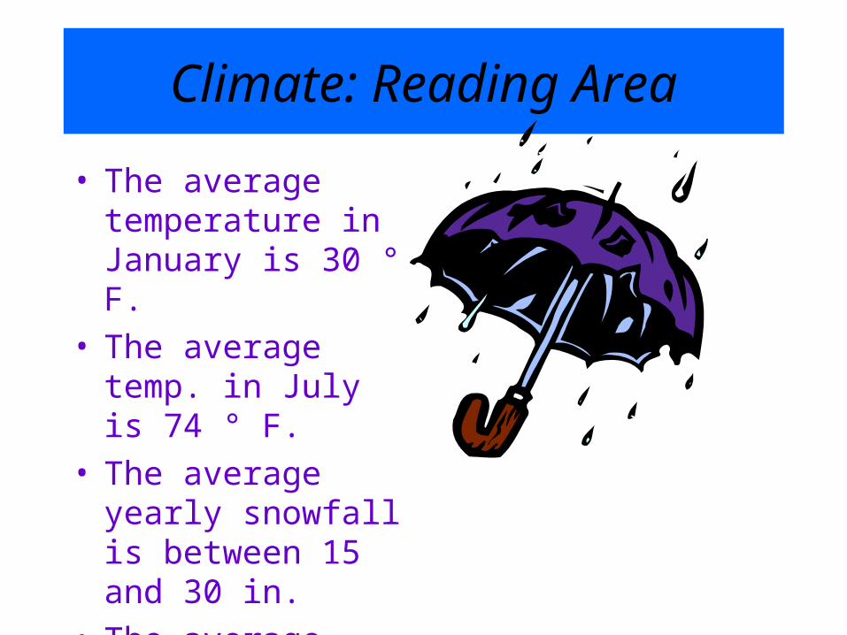
• The average temperature in January is 30 ° F.
• The average temp. in July is 74 ° F.
• The average yearly snowfall is between 15 and 30 in.
• The average yearly rainfall is about 43 in.

Interesting Facts of This Region
• Location: In PA, the Piedmont starts just west of Philadelphia and extends northwest to Harrisburg.
• Within the Piedmont lies some of the best soil in the United States.
• Many different animals are raised and many different crops are grown here.
• This region contains many factories that process foods.
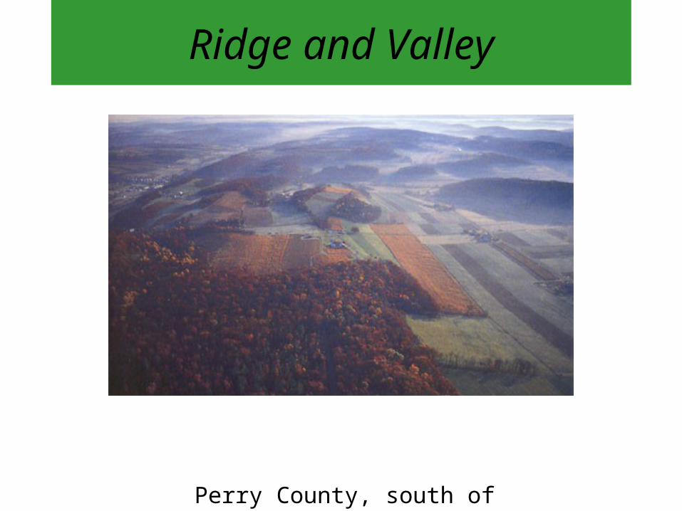
Ridge and Valley
Perry County, south of Newport
Land Formation: Ridge & Valley
• A ridge consists of hills and mountains in a narrow chain.
• The elevation of the ridges in this region range from 800 to over 2,000 feet above seal level.
• A valley is the land, of a lower elevation, between two ridges.
• The soils in these valleys are excellent for grazing cattle and growing crops.
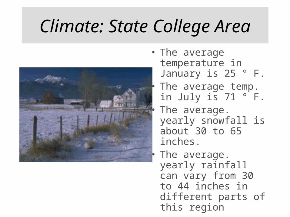
Climate: State College Area• The average
temperature in January is 25 ° F.
• The average temp. in July is 71 ° F.
• The average. yearly snowfall is about 30 to 65 inches.
• The average. yearly rainfall can vary from 30 to 44 inches in different parts of this region

Interesting Facts of This Region
• Location: North west of the Piedmont Region. It is 100 miles wide.
• Each Ridge and Valley is given a separate name.
• The Great Valley runs the entire length of the Pennsylvania Ridge and Valley Region.
• The Allegheny Mountains, which are part of the Appalachian Mountains, are located on the western border of this region.

Allegheny Plateau
Pennsylvania Grand Canyon
Land Formation: Plateau
• A plateau is defined as land that has a higher elevation than its surrounding area.
• The elevation of the plateaus in this region range from 800 to greater than 3,000 feet above sea level.
• In this region, there are many rivers, streams, and thick forests.
• The Pocono Mountains, one of the mountain chains in this region, reach to over 2,000 feet high.
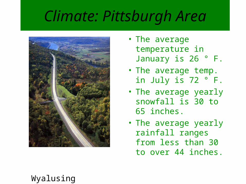
Climate: Pittsburgh Area
• The average temperature in January is 26 ° F.
• The average temp. in July is 72 ° F.
• The average yearly snowfall is 30 to 65 inches.
• The average yearly rainfall ranges from less than 30 to over 44 inches.
Wyalusing Rocks
Interesting Facts of This Region• Location: West of the Ridge and Valley
Region, but also curves around to cover the northeast part of the state.
• The area of this region is greater than half of the area of Pennsylvania.
• PA’s second largest city, Pittsburgh, is located in this region.
• Mt. Davis, which is in the south western part of the Allegheny Plateau, rises to over 3,000 feet. This is the highest point in PA.

Erie Plain
Sunset over Lake Erie
Land Formation: Plain
• Once again, a plain is a flat land with lower or higher elevations.
• The Erie Plain, while flat, is over 700 feet above sea level.
• The Erie Plain borders Lake Erie, which is one of the Great Lakes.
• The city of Erie is a port city because goods can be imported and exported along the Great Lakes.
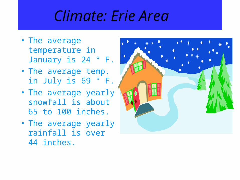
Climate: Erie Area
• The average temperature in January is 24 ° F.
• The average temp. in July is 69 ° F.
• The average yearly snowfall is about 65 to 100 inches.
• The average yearly rainfall is over 44 inches.

Interesting Facts of This Region
• Location: The Erie Region is in the northwestern part of Pennsylvania.
• At one point in time, this plain was part of Lake Erie.
• Near the center of this plain lies Pennsylvania’s third largest city, Erie.
• Due to its location near Lake Erie, this area is in a snowbelt region. Snowbelt regions get a lot of snow in the winter since they are by a lake.
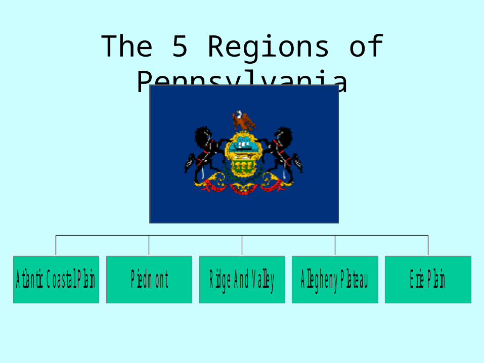
The 5 Regions of Pennsylvania
P en n sylvan ia
A tlan tic C oas ta l P la in P ied m on t R id g e A n d V a lley A lleg h en y P la teau E rie P la in

State Symbols
State SealState Flower - Mountain Laurel
State Fish – Brook Trout
State Flower
Mountain Laurel
State Coat of Arms