Embed Size (px)
Citation preview

Reducing Encroachment into Udzungwa Mountains National Park, Tanzania
Preliminary Design Assessment: Options for Enhancing the Park Boundary and Developing an Ecological Buffer
Gregory A. Tenn
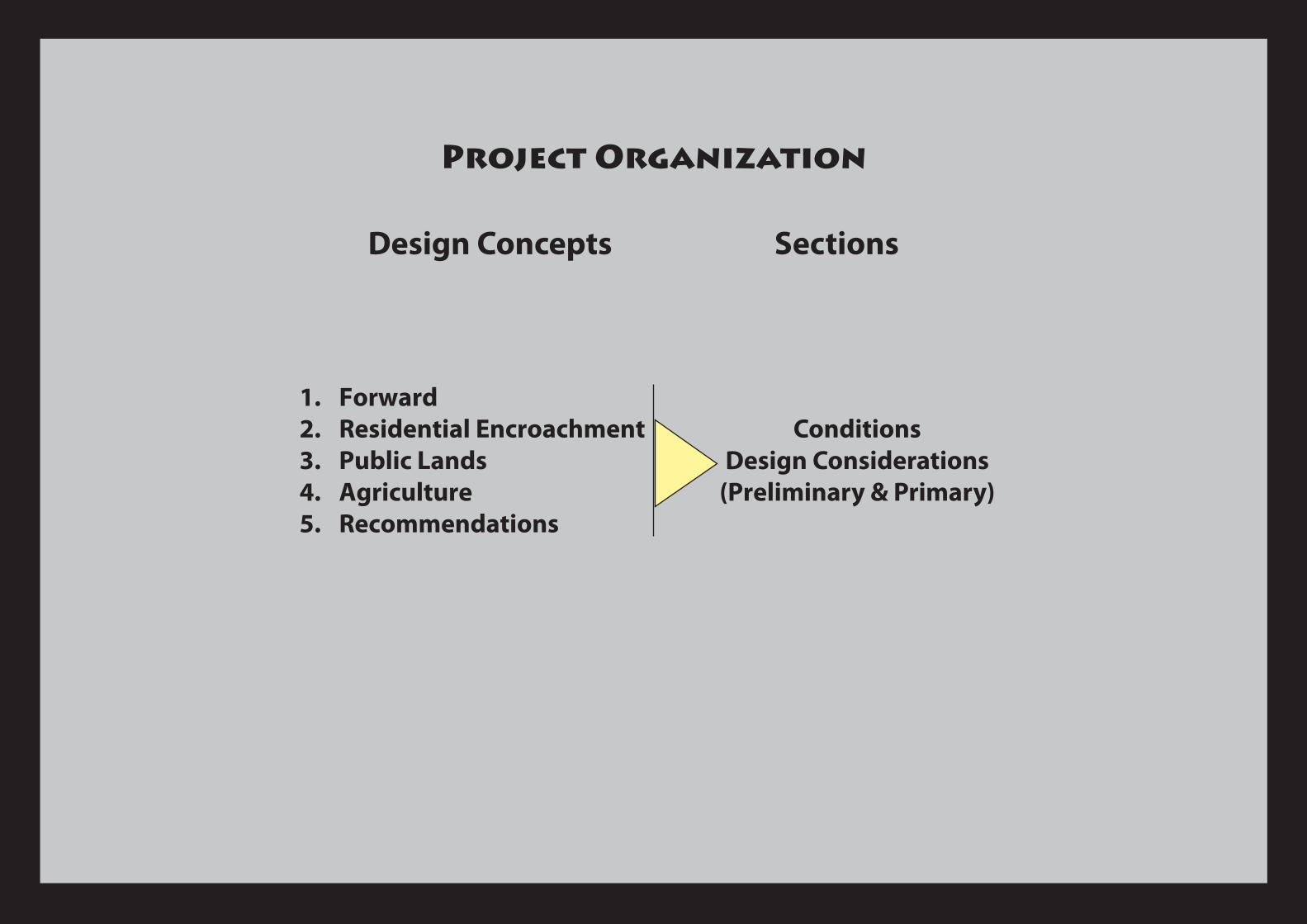
Project Organization
1. Forward 2. Residential Encroachment3. Public Lands4. Agriculture 5. Recommendations
ConditionsDesign Considerations
(Preliminary & Primary)
Design Concepts Sections

Residential Encroachment
• Urbanization in villages• Increasing land use conversion (residential, subsistence ag)• Expansion of commercial agriculture • Large number of economic immigrants • Little or no room to expand except into UMNP• Direct threat to conservation
• Lack of physical space• Movement of established residences and structures
undesirable even with economic reimbursement • Balance socio-economic and conservation considerations• Negate or minimize land use conversion within present park
boundary • Park boundary as economic resource • Strengthen delineation of the park and village land • Improving visibility and monitoring
Conditions
Design Considerations
Potential Buffer Zone.
Connection to natural heritage sites
Village Land
Park
Connection to park trail system
Low Impact Buffer Zone
Tree Canopy Maintained
Park Boundary Trail•Tree canopy remains intact •Privacy for residents; view from trail inhibited•Potential for low-impact economic activities
(e.g. butterfly farming, beekeeping, managed harvesting of timber/non-timber products, etc.)
•Potential to increase revenues from tourism activities, especially in communities near park attractions (e.g. Sanje)
•Delineation of park boundary•Enhanced visibility and monitoring of park
boundary and buffer zone by TANAPA and community
Butterfly Farming Enclosure
3 Section 1 - Residential
With Buffer
Village Land
Connection to natural attractions
Connection to park trail system
Buffer Zone
Connection to community
Park

Public Lands
• Growth in populations should coincide with growth in social services and infrastructure
• Land use conversion (e.g. roads, schools, hospitals/clinics, etc.). • Public land is a highly regarded asset • Stable and/or lower impact uses • Higher potential for open space • prior NGO success
• Creation of public park boundary zone• Community based resource management• Schools and agroforestry• Environmental education • Recreation facilities• Government/administrative
Conditions
Design Considerations
4 Section 1 - Residential
Land Use Swap
Community land moves to new location at interface with park and incorporates a buffer zone
Park Boundary Retains Position
High impact land use is moved further from park boundary
Village Land
Public Land
Park
School Land (2 ha) adjacent to Park Boundary
Open Space (adjacent to village land)
Early Harvest (non-timber products) ~30m
Late Harvest(non-timber and timber) ~10m
Restoration Core (no harvest) ~20m
Park
Transitional Buffer Zone Diagram Integrated Forestry Plan
Park
School Buildings
Native species only.
Preference for commercially useful species (native and non-native) increases with distance from park boundary.
• only native tree species
• increasing number of harvestable species that are allowed to grow for a longer period of time to develop forest cover
Open area (e.g. recreational use) with a greater number of shade and fruit trees.
Social/community lands tend to have greater amounts of available open land that could be made available for economic and conservation activities.
Tree Nursery

Agriculture
• Existing/maintained open space • High economic value • Food security • Human-wildlife conflicts
• Development potential (public lands, tourism)• Buffers might not resolve human-wildlife conflicts• Crop selection/heterogeneity• Balance economic realities of production, marketing, and sale. • Sustainable forestry
Conditions
Design ConsiderationsConceptual Plan
Detail
Farm and Homestead (4ha) Adjacent to Park Conceptual Land Use Diagram
Crops/Activites most susceptible to H-W conflict or most valuable)
Crop/Activities least susceptible to H-W conflicts
Ecotourism Site
Ecotourism Site
Homestead Restoration Core (no or limited harvest)
Restoration Core/Buffer
Forestry Management
ParkFarm and Homestead
ParkBoundary
5
Integrated Buffer and Ecotourism Business Venture
Park Access via Trail System