Embed Size (px)
Citation preview

Quality Control.of State-of-the-art Digital Elevation Data.
Thomas Knudsen, Danish Geodata Agency
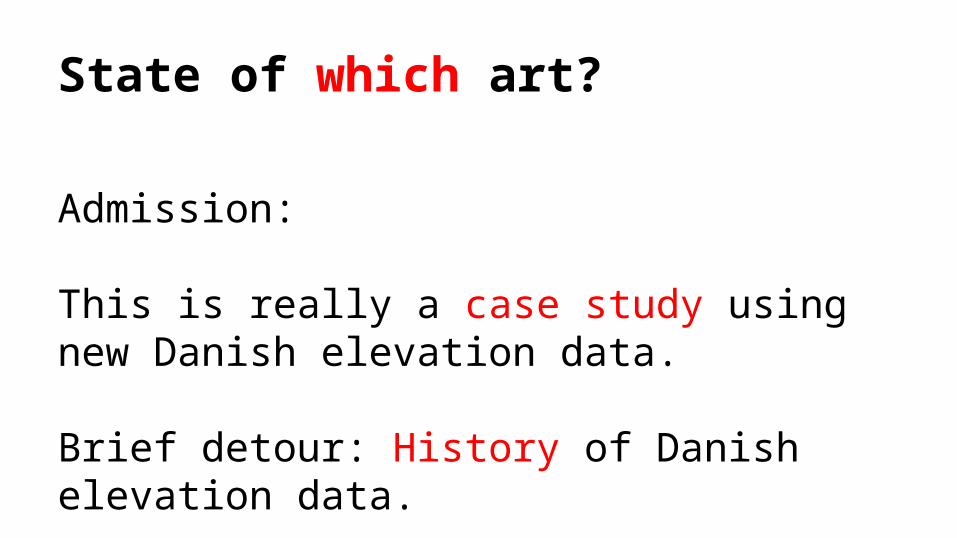
State of which art?
Admission:
This is really a case study using new Danish elevation data.
Brief detour: History of Danish elevation data.
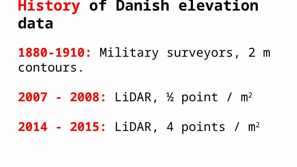
History of Danish elevation data
1880-1910: Military surveyors, 2 m contours.
2007 - 2008: LiDAR, ½ point / m2
2014 - 2015: LiDAR, 4 points / m2

“Beauty contest”
Spring 2013: Tender - data for a new Danish elevation modelSelection criteria: Minimum requirements (“at least as good as 2007 data”), fixed maximum price (“at most xx MDKK”)Fall 2013: Contract awarded to a consortium led by AeroData Nederland
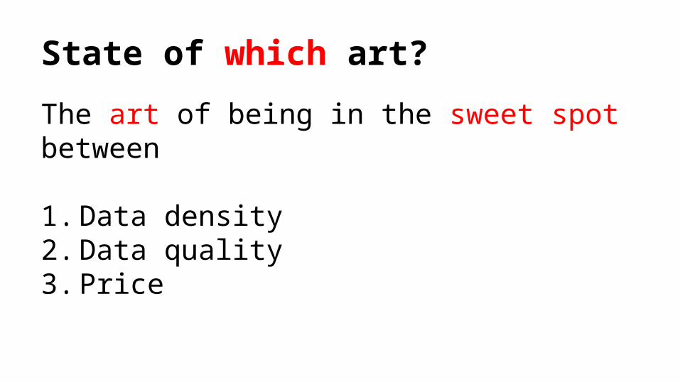
State of which art?
The art of being in the sweet spot between
1. Data density2. Data quality3. Price

Specification philosophy
1. Do not specify anything that cannot be checked
2. Check everything specified

What are we trying to achieve?
1. Make sure data delivered are up to specs2. Create metadata documenting just how good
data are3. Check consistency with other geodata
getting better impression of the accuracy of the entire geodata stack
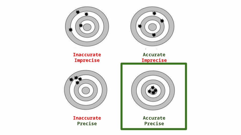
Unøjagtig Upræcis
Inaccurate Imprecise
Accurate Imprecise
InaccuratePrecise
AccuratePrecise

Ver
tica
l HorizontalPre cis eAccurate
Koregt klars
D e n s it y
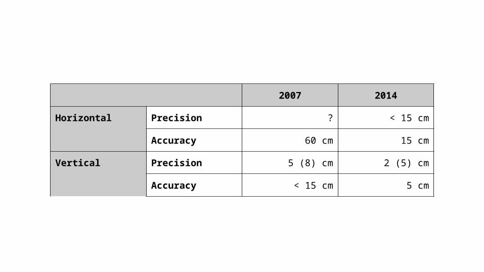
2007 2014
Horizontal Precision ? < 15 cm
Accuracy 60 cm 15 cm
Vertical Precision 5 (8) cm 2 (5) cm
Accuracy < 15 cm 5 cm
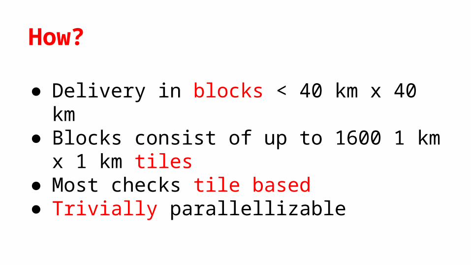
How?
● Delivery in blocks < 40 km x 40 km● Blocks consist of up to 1600 1 km x 1 km
tiles● Most checks tile based● Trivially parallellizable
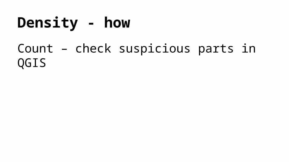
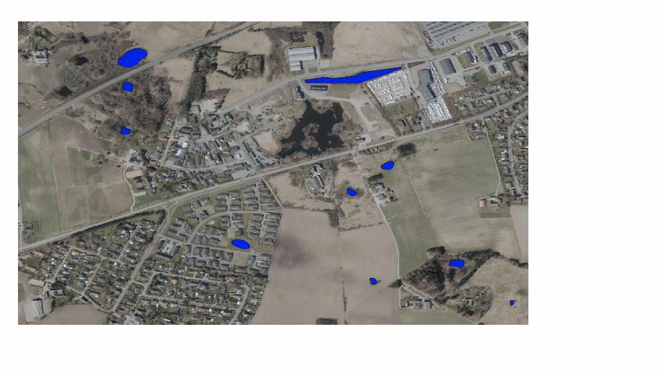
Density - how
Count – check suspicious parts in QGIS


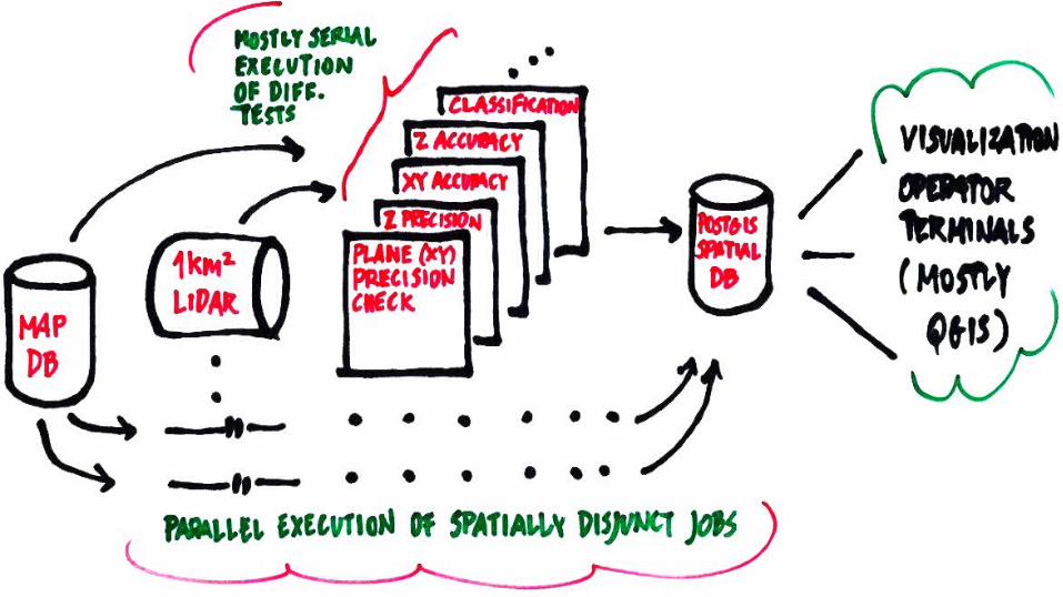
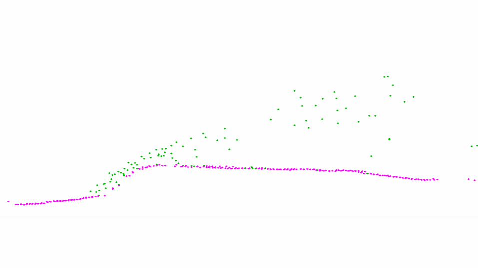
Vertical precision - how?
Internal consistency along road centerlines from the MapDB


Vertical accuracy - how
Comparison with previously surveyed control patches.
Horizontal: Major problem
How do we check that the achieved horizontal accuracy is 15 cm?
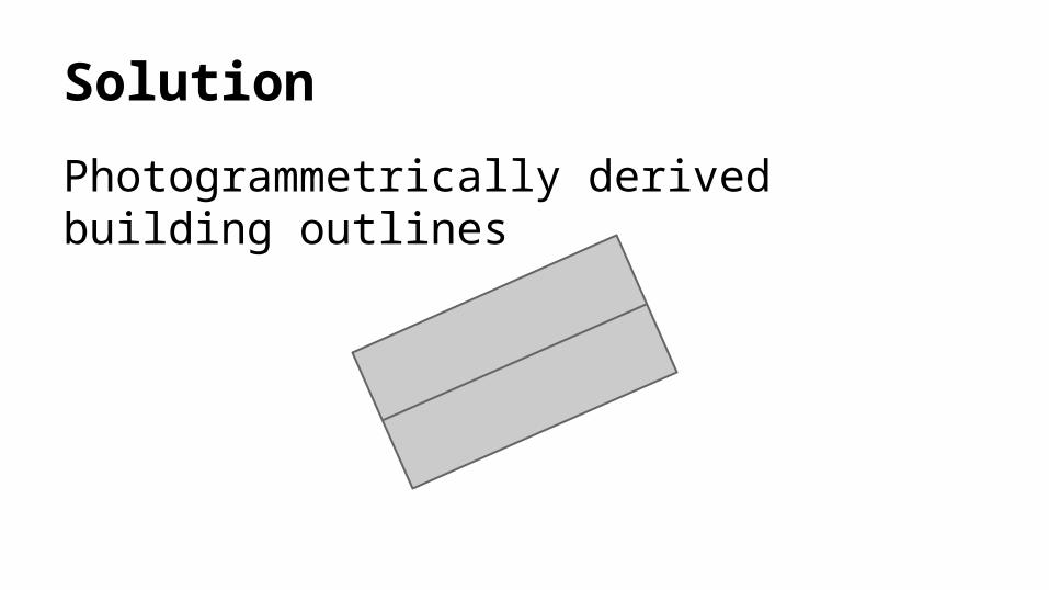
Solution
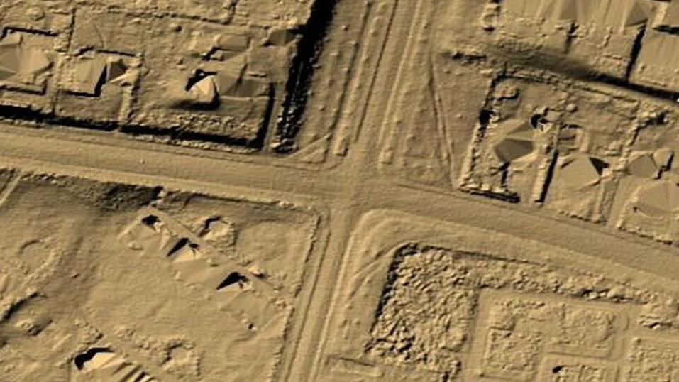
Photogrammetrically derived building outlines
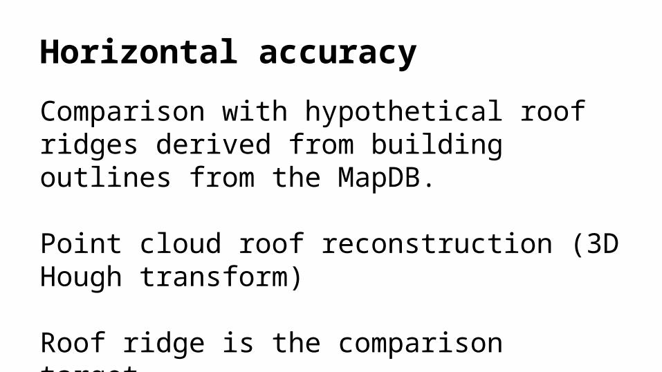
Horizontal accuracy
Comparison with hypothetical roof ridges derived from building outlines from the MapDB.
Point cloud roof reconstruction (3D Hough transform)
Roof ridge is the comparison target.
Horizontal precision
Similar, but flight strip vs flight strip in the overlap zone.

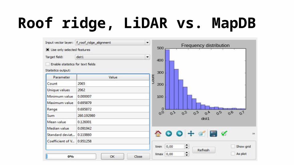
Roof ridge, LiDAR vs. MapDB
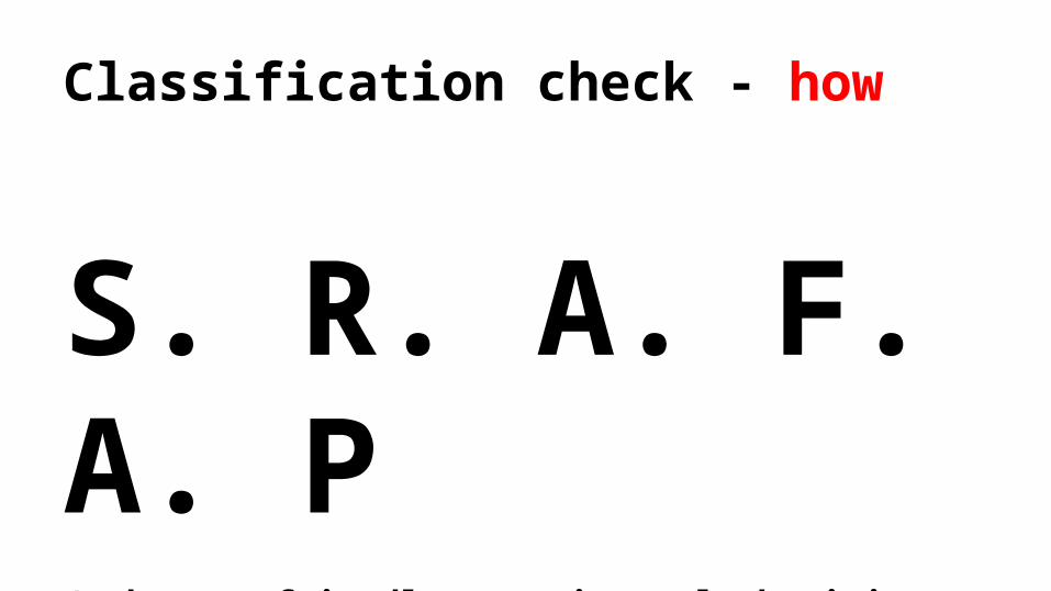
Classification check - how
S. R. A. F. A. P(ask your friendly experimental physicist neighbour!)
But they need some material to run with…
● Points classified as buildings outside building outlines
● Building outlines with no building points● Buildings on roads● Vegetation below buildings…
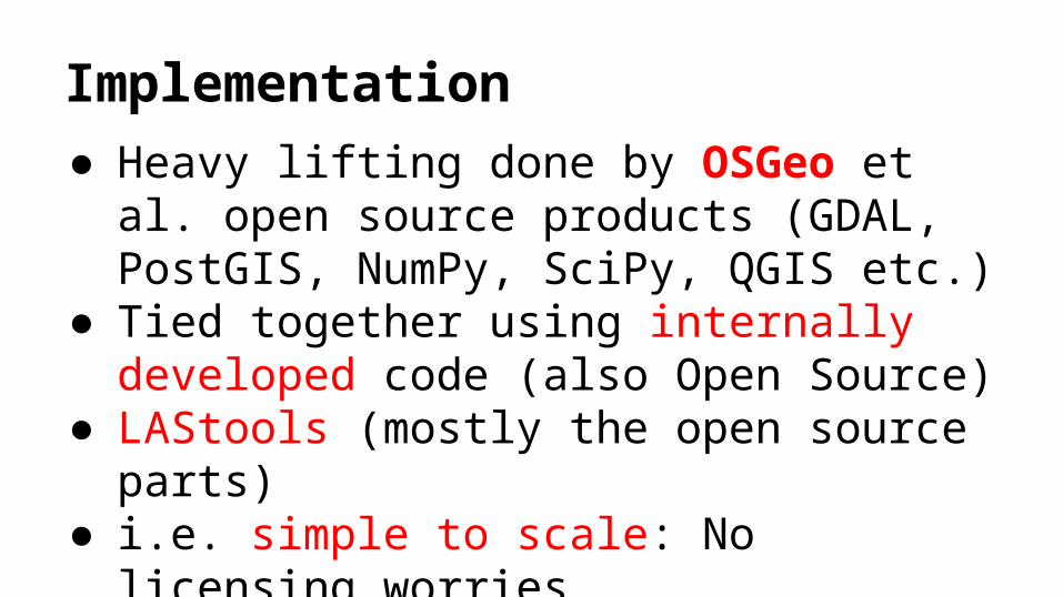
Implementation● Heavy lifting done by OSGeo et al. open
source products (GDAL, PostGIS, NumPy, SciPy, QGIS etc.)
● Tied together using internally developed code (also Open Source)
● LAStools (mostly the open source parts)● i.e. simple to scale: No licensing worries

Examples
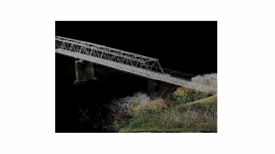
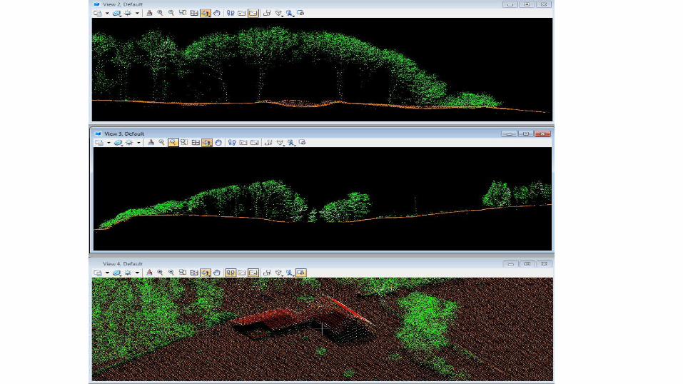

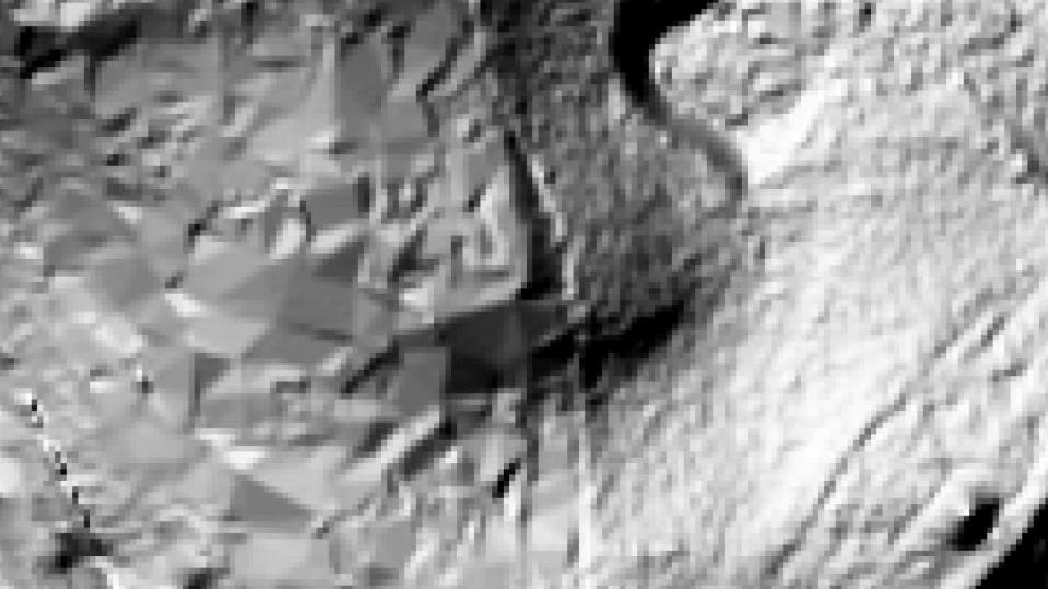
Forest


Results
Very nice!
● Things work● Data quality is high● Supports a smooth communication with the
data provider● We work on releasing source code


Kort & Matrikelstyrelsen SIDE 40

Kort & Matrikelstyrelsen SIDE 41
Kort & Matrikelstyrelsen SIDE 42

Kort & Matrikelstyrelsen SIDE 43