Embed Size (px)
DESCRIPTION
Political Geography. Presentation created by Robert L. Martinez Primary Content Source: McDougal Littell World Geography. We use the term state to describe an independent unit that occupies a specific territory and has full control of its internal and external affairs. State = Spain. - PowerPoint PPT Presentation
Citation preview

Political Geography
Presentation created by Robert L. MartinezPrimary Content Source: McDougal Littell World Geography

We use the term state to describe an independent unit that occupies a
specific territory and has full control of its internal and external affairs.
State = Spain
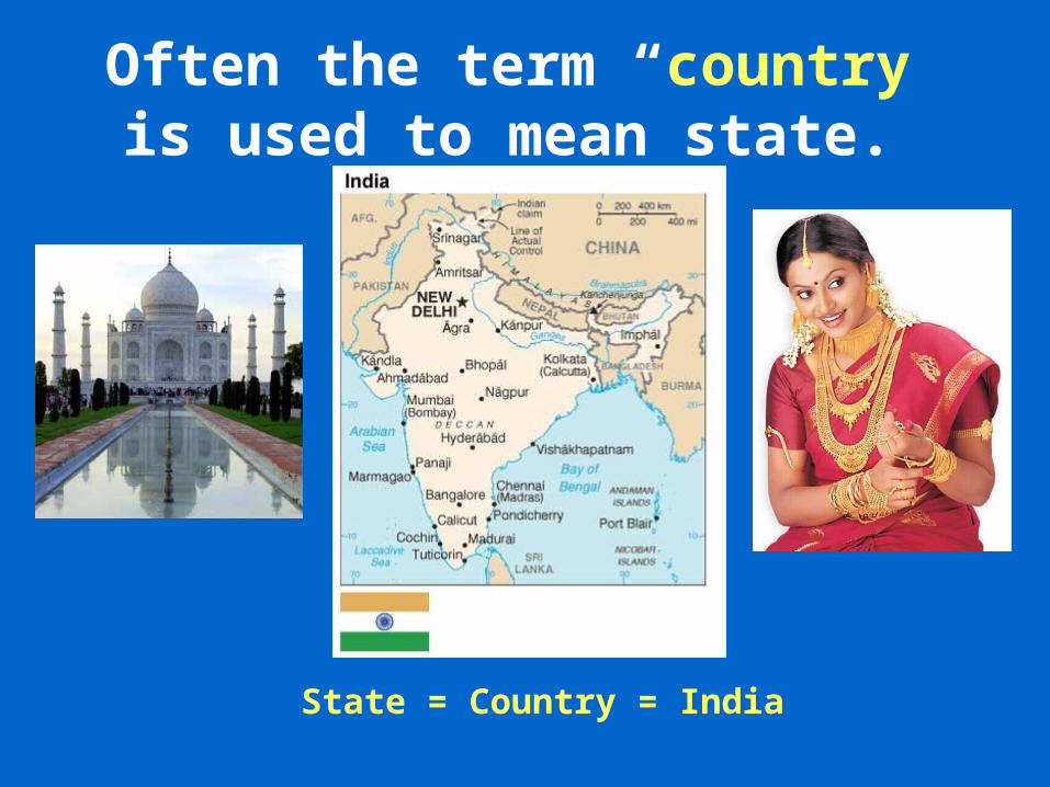
Often the term “country” is used to mean state.
State = Country = India

Nation refers to a group of people with a common culture
living in a territory and having a strong sense of unity.
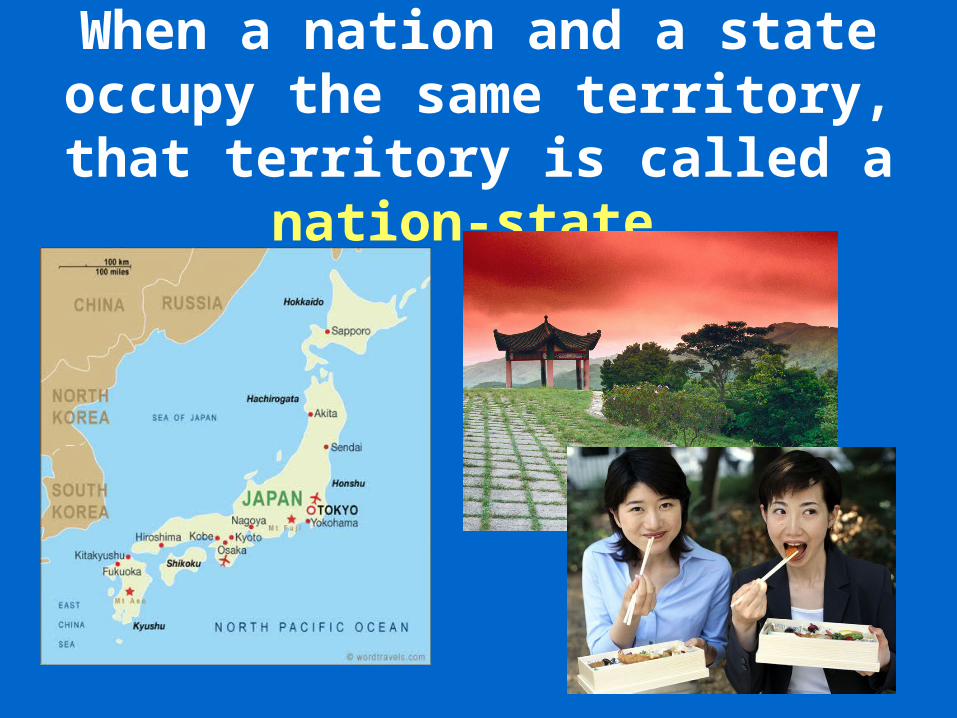
When a nation and a state occupy the same territory, that territory is called a nation-state.
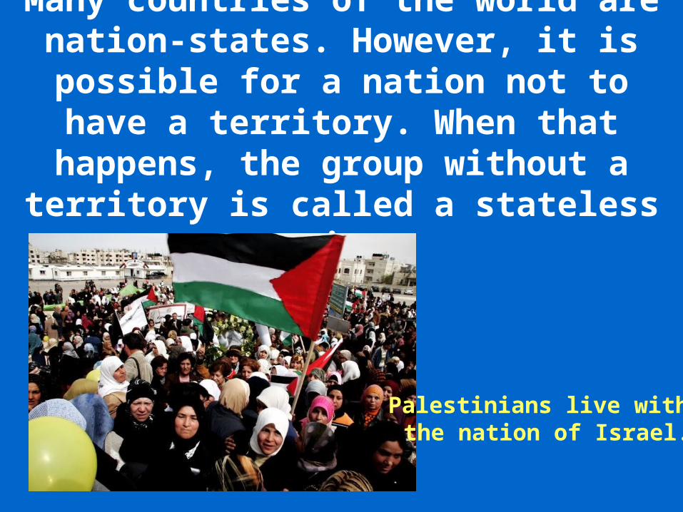
Many countries of the world are nation-states. However, it is possible
for a nation not to have a territory. When that happens, the group without a territory is called a stateless nation.
Palestinians live withinthe nation of Israel.

Examples of stateless nations include Palestinians, Kurds, and
Basques.
Kurdish children living within the borders of Iraq.

Types of Governments:Democracy: Citizens hold political
power, either directly or indirectly or through elected representatives.
Example: the United States.

Monarchy: A ruling family headed by a king or queen holds political power
and may or may not share the power with citizen bodies. Example: the United Kingdom or Saudi Arabia.
King Faud of Saudi Arabia
Queen ElizabethOf the United Kingdom
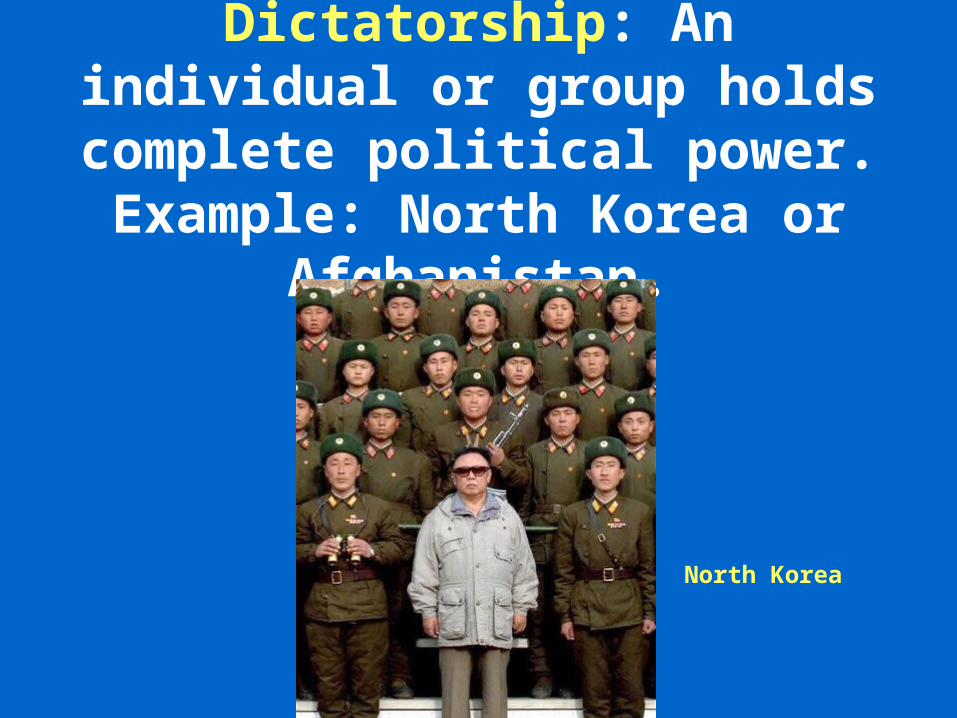
Dictatorship: An individual or group holds complete political
power. Example: North Korea or Afghanistan.
North Korea

Communism: In this government and economic system, nearly all political power and means of production are
held by the government in the name of all the people.
China

Three geographic characteristics are very important in describing a
country. These characteristics are: 1) size, 2) shape, and 3) relative
location.

The combination of these characteristics makes each
nation unique.

You might assume that the physical size of a country has much to do
with its wealth and power. However, this is not always true.

For example, the political division of the United Kingdom known as
England once controlled a significant empire of colonies
around the globe.
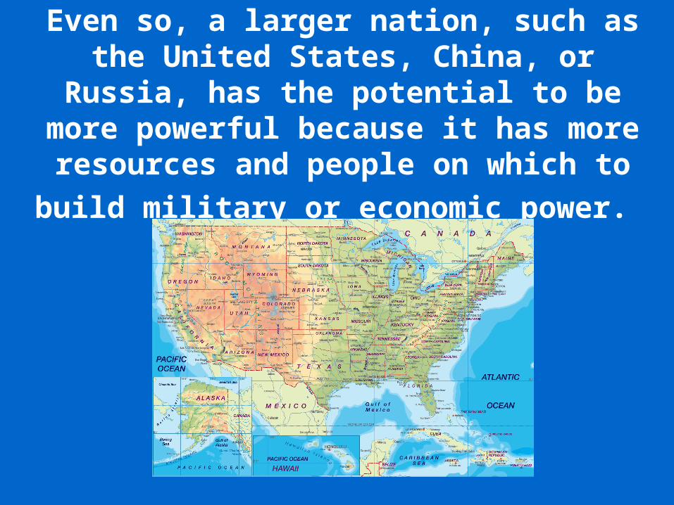
Even so, a larger nation, such as the United States, China, or Russia, has the potential to be more powerful because it has more resources and people on which to build
military or economic power.
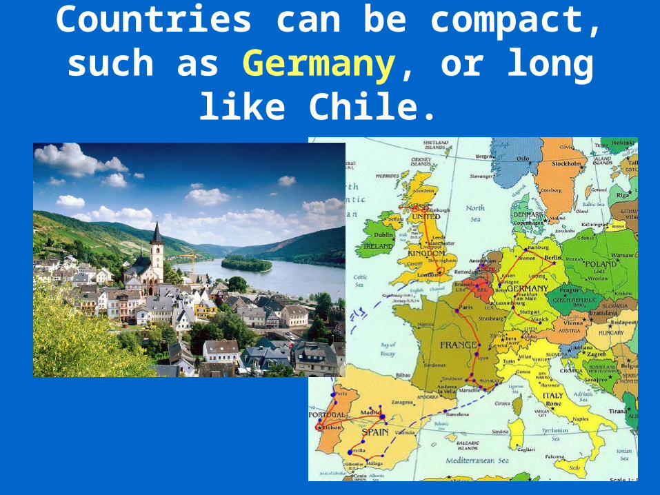
Countries can be compact, such as Germany, or long like Chile.

Some countries are fragmented, like Japan, which is made up of
many islands.

The shape of a country can have an impact on how easily it can be
governed, how goods are moved to all areas of the country, and how it relates
to neighboring countries.

The relative location of a country can be very important. A landlocked country,
one surrounded by other land and with no direct outlet to the sea, must find
ways to build connections to the rest of the world to get goods in and out of the
country.
AUSTRIA
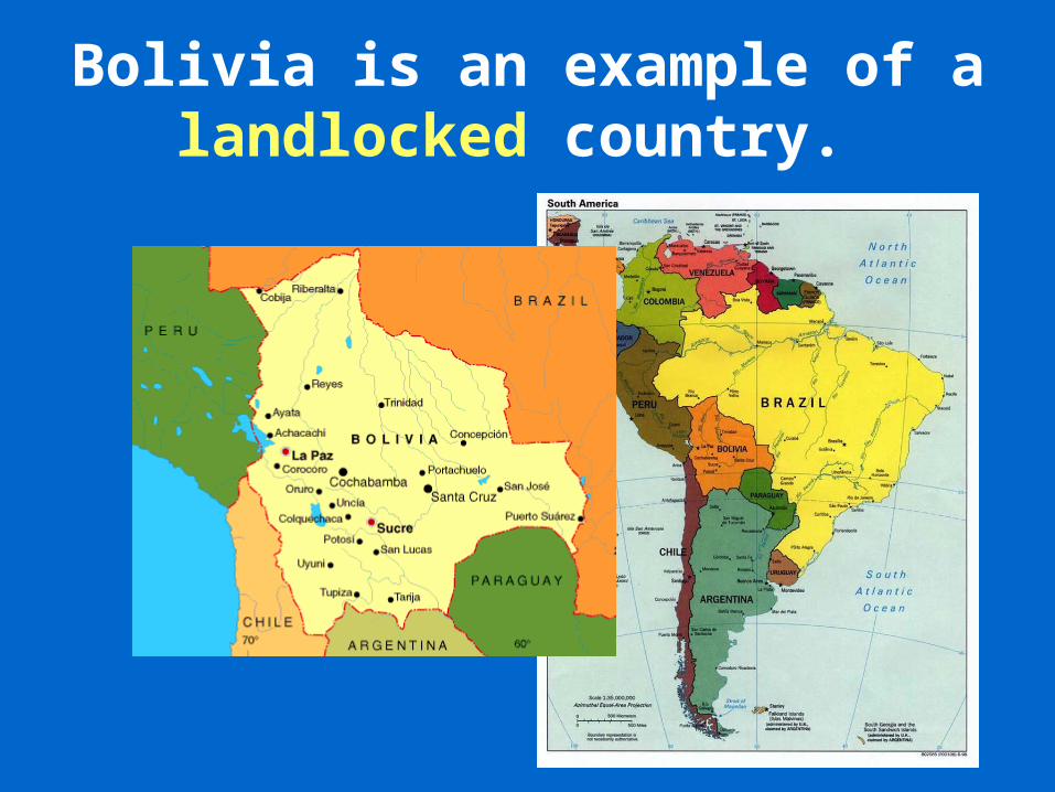
Bolivia is an example of a landlocked country.

In contrast, the location of the tiny city-state of Singapore in SW Asia gives it access to major shipping
lanes between East Asia and South Asia.

The resulting trade brings great wealth to Singapore ports.
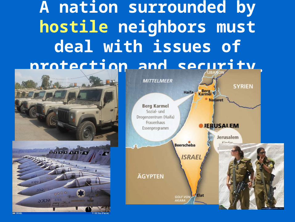
A nation surrounded by hostile neighbors must deal with issues
of protection and security.

Boundaries or borders set the limits of the territory controlled
by a state.
North Korean Border
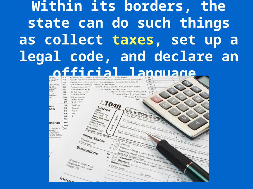
Within its borders, the state can do such things as collect taxes, set up a legal code, and declare
an official language.

A state may claim all of the resources found within its
boundaries.

Because so much is at stake, states are very protective of their
borders.

The two basic types of national boundaries are natural and
artificial.

A natural boundary is based on physical features of the land,
such as rivers, lakes, or chains of mountains.
France & Spain are separated by the Pyrenees Mountains

The Rio Grande River, for example, is a river that forms a natural
boundary between part of Mexico and part of the United States.
Mexico

An artificial boundary is a fixed line generally following latitude
or longitude lines.

The 49th degree latitude line that separates the U.S. from Canada
is an example.

Sometimes a conquering country imposes boundaries on lands it
has taken over.
The United States declared a new boundary after the War with Mexico.

Countries often are divided into smaller political units to make
governing more efficient.
Individual States

The most common local units of government are cities, towns,
and villages.
City of San Antonio, Texas
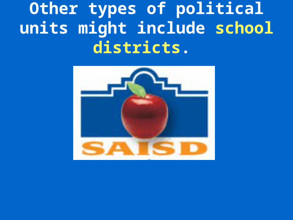
Other types of political units might include school districts.

Smaller political units often combine to form larger regional
units, such as countries, provinces, and states.

Here, too, there may be districts for providing a service or product to an area that crosses several political units. For
example, the Tennessee Valley Authority (TVA) regulates water usage in a seven-
state region.
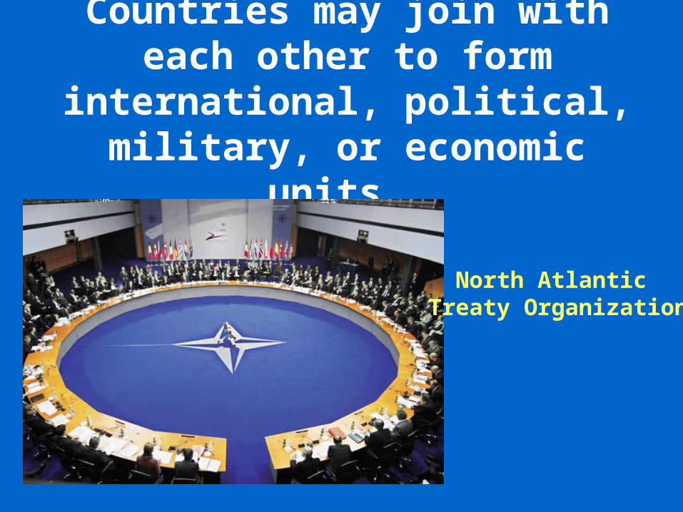
Countries may join with each other to form international,
political, military, or economic units.
North Atlantic Treaty Organization

Groups of states within a regional area may band together
to promote mutual goals. An example is the European Union.
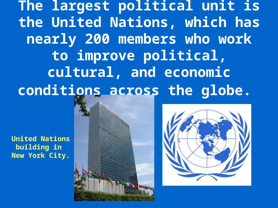
The largest political unit is the United Nations, which has nearly 200
members who work to improve political, cultural, and economic
conditions across the globe.
United Nationsbuilding in
New York City.