Embed Size (px)
Citation preview
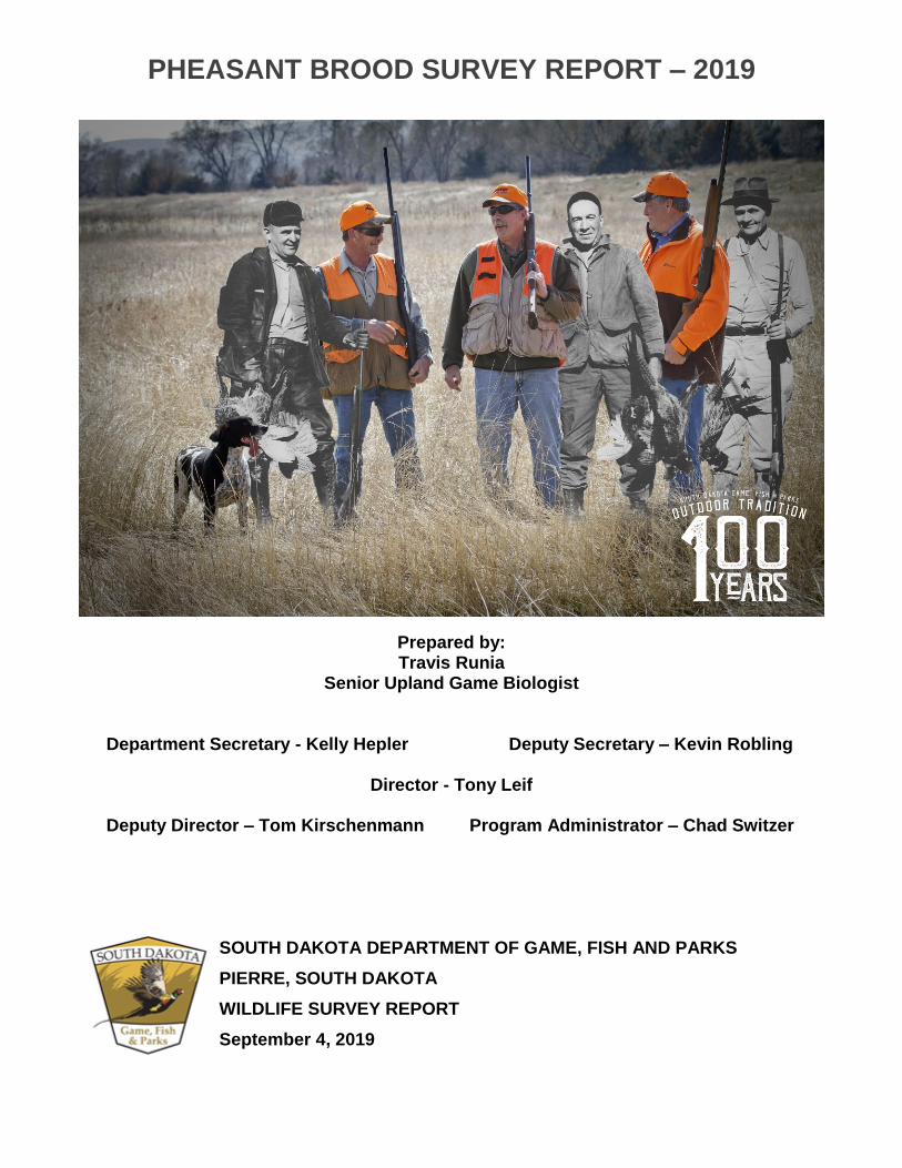
PHEASANT BROOD SURVEY REPORT – 2019
Prepared by: Travis Runia
Senior Upland Game Biologist
Department Secretary - Kelly Hepler Deputy Secretary – Kevin Robling
Director - Tony Leif
Deputy Director – Tom Kirschenmann Program Administrator – Chad Switzer
SOUTH DAKOTA DEPARTMENT OF GAME, FISH AND PARKS
PIERRE, SOUTH DAKOTA
WILDLIFE SURVEY REPORT
September 4, 2019

SOUTH DAKOTA PHEASANT BROOD SURVEY 2019 REPORT
SD Game, Fish and Parks conducts pheasant brood surveys each summer to evaluate the status of pheasant populations and predict pheasant population levels relative to previous years. This information, when combined with other factors such as status of the agricultural harvest and historical hunting pressure, can be used to predict hunter success and satisfaction for geographical areas of the state. Densities of pheasants alone do not infer high or low hunter success and satisfaction. Access to hunting opportunities is equally, if not more important to densities of pheasants in evaluating potential hunter success and ultimately, hunter satisfaction.
In 2019, survey indices were derived from 110, 30-mile pheasant brood routes that are distributed across South Dakota where pheasants are found in sufficient number for surveying. Routes are surveyed from 25 July through 15 August each year using standardized methods on mornings when weather conditions are optimal for observing pheasants. Also, pheasant brood members are opportunistically counted throughout the survey period to estimate an average number of young per brood. Pheasants per mile (PPM) estimates are calculated by summing the product of mean brood sizes and broods observed with numbers of cocks and hens observed on each route. PPM estimates for 2018 and the average of the previous 10 years are compared with the 2019 survey results. Results are compared within local areas with Wilcoxon signed-rank tests which take into account the direction (up or down) and magnitude of change for each route. Since PPM estimates are relative density estimates, comparisons are valid only between years within each local area.
County brood survey routes are allocated to local area analyses as follows:
Chamberlain: Brule, Buffalo, Charles Mix (north route), Gregory (north route), Hyde, Lyman, Tripp (north route), and Aurora.
Winner: Tripp, Gregory, Lyman (south route), Jones (south route), Mellette, and Todd.
Pierre: Hughes, Jones, Lyman, Potter (south route), Stanley, Hand (south route only), Hyde, and Sully.
Mobridge: Campbell, Corson, Dewey, Potter (north and central routes), and Walworth.
Aberdeen: Brown, Marshall, Day, Edmunds, Faulk, Spink (north and central routes), and McPherson.
Huron: Hand (north and central routes), Beadle, Jerauld, Kingsbury, Sanborn, Miner, Clark (south route only), and Spink (south and central routes).
Mitchell: Davison, Hanson, Charles Mix (central route), Douglas, Aurora, Hutchinson (north and west routes), Jerauld, McCook, Miner, and Sanborn.
Yankton: Yankton, Charles Mix (south route), Bon Homme, Clay, Turner/Hutchinson (west and south routes), and Union.
Sioux Falls: Minnehaha, Turner/Hutchinson (north route), Lake, Lincoln, McCook, and Moody.
Brookings: Brookings, Deuel (south route), and Hamlin (south and central routes), Kingsbury, Lake (north route), and Moody.
Watertown: Codington, Clark, Deuel, Grant, and Hamlin. Sisseton: Grant, Day (north route), Marshall, and Roberts. Western SD: Bennett, Haakon, Perkins, Butte and Fall River.

SURVEY RESULTS
Overview
The statewide Pheasants Per Mile (PPM) index for the 2019 pheasant brood survey decreased 17% (2.47 to 2.04, 90% confidence interval = -32 to 0%) compared to 2018 (Table 1, Figure 1). This year’s index is 43% lower than the 10-year average (2019 = 2.04, 10-year average = 3.58). Fewer hens and broods were counted throughout the 110 survey routes compared to last year while the number of roosters remained nearly unchanged. Statewide, 40 of the 110 survey routes had a higher PPM than 2018.
Adult Bird and Brood Data
The number of roosters increased 2% from last year (813 vs. 798). The number of hens decreased 21% from last year (955 vs. 1,216). Total broods counted decreased by 21% (801 vs. 1,009), while the statewide average brood size increased by 3% (6.24 vs. 6.08). The average brood size increased 8% in the northeast and remained unchanged elsewhere (Figure 2). The statewide average brood size for 2019 (6.24) is slightly larger than the 10-year average (5.90).
Local Area
2019 vs. 2018 and 10-Year Average PPM The Aberdeen, Sisseton, and Western SD local areas increased compared to 2018, but not significantly. All other local areas declined compared to 2018; the decline was significant for the Pierre, Mobridge, Huron, Mitchell, and Brookings local areas. Most local areas are significantly below the 10-year average (Table 1, Figure 3). The Yankton, Sioux Falls, Watertown, Sisseton, and Western SD local areas are not significantly different from the 10-year average.
Survey Weather Conditions
This survey relies on very specific weather conditions to maximize pheasant observability. Pheasants are most visible during mornings with clear skies, heavy dew, and light winds. Under these “prime” survey conditions, pheasants congregate in open areas such as roadways to dry their feathers in the warm morning sun. It is the goal to conduct all surveys under prime conditions so results are comparable from year to year. This year, 97 of the 110 survey routes were conducted at least one time during prime conditions compared to 93 last year. Many routes were surveyed more than once in an attempt to get at least one survey completed under primary conditions. Final results show 91 of the highest counts for the 110 routes coincided with prime conditions compared to 73 last year. Historic winter snowfall and spring/summer rainfall has resulted in many road ditches containing water. Additionally, approximately 3.8 million acres of cropland went unplanted. Although it is unknown how these circumstances may have influenced pheasant behavior and visibility during this survey, the impact on the detectability of pheasants was most likely negative.
INTERPRETATIONS & DISCUSSION The observed slight decline in the overall pheasant population index was expected given the historic winter snowfall and spring/summer precipitation patterns. Even with very unfavorable weather conditions, the PPM index remained nearly unchanged (less than 15% decrease or increase) from last year for 7 of the 13 local areas. In addition, it is highly likely that flooded ditches and unplanted crop fields reduced the number of pheasants using roadside habitat thus reducing the number of pheasants observed in 2019 compared to 2018. The resiliency of

pheasants was tested as December through April precipitation was essentially all snow, the 4th highest on record, and the highest since 1985-86 (Figure 4). Multiple major blizzards pounded the state with extraordinary events occurring in March and April. May through July precipitation was the 5th highest on record and the highest since 1993 (Figure 4). Roadside counts commonly decline following harsh winters, likely in response to a decline in adult survival. May through July represents the primary nesting and brood-rearing season. The cool and wet weather could have delayed and subsequently shortened the nesting season. Many nests in low lying upland habitat were likely inundated during flooding rains. Brood-rearing success can be directly suppressed by heavy rains, but the respectable average brood size observed this year suggests lush habitat conditions may have compensated for otherwise challenging environmental conditions. The strikingly different inter-year change for the Aberdeen (+46%) local area versus adjacent areas such as Mobridge (-49%) and Huron (-29%) was surprising and noteworthy given generally similar weather conditions occurred across the region. Although Aberdeen increased 46% from last year, 6 of the 14 routes declined from 2018 and one route accounted for a bulk of the increase. Hunters should be aware that the 46% observed increase may not be applicable to the entire Aberdeen area, but it is encouraging that 8 of the 14 routes increased from last year. Last year we celebrated the 100th pheasant season in South Dakota and for the first time since 1990, total harvest was below 1 million roosters for two years in a row. In fact, harvest in 2007 (2.1 million) was higher than the last two years combined (1.8 million). As we celebrate 100 years of pheasant hunting, it is also important to acknowledge the steady decade-long decline in PPM is likely related to upland habitat loss. Lands enrolled in the Conservation Reserve Program (CRP) represent the premium nesting habitat in the state and have declined by 35% or 553,000 acres since 2007 (Figure 5). The combined availability of hayland, small grains, and CRP has declined by 46% or 5.5 million acres since 1990 (Figure 6). This represents an average monthly loss of 15,690 acres, or an area twice as big as Lake Poinsett, for the past 29 years. During the 15-year period of 1982–1997, 1.82 million acres of grassland were converted to cropland (U.S. GAO 2007). A more recent study found 1.84 million acres of grassland were lost, primarily to conversion to cropland, from 2006–2012 (Reitsma et al. 2014). Environmental conditions will always contribute heavily to year to year changes in pheasant abundance, but the long term erosion of required habitat will undoubtedly result in lower lows and lower highs. The 2019 pheasant population index is still higher than the recent lows of 2013 and 2017 when hunters harvested an average of 900,000 roosters. Lands enrolled in CRP have steadied over the past few years with many open to public hunting. In fact, approximately 20% of the state’s CRP acreage is enrolled in the WIA program. With 1.1 million acres of public hunting land within the heart of SD’s pheasant range, great opportunities remain for freelance pheasant hunting. Hunters should expect flooded and damaged roads in their traditional hunting areas as widespread flooding is ongoing. Hunters are asked to use discretion when traveling county and township roads as to not cause additional damage to flooded roads. The annual hunting atlas and a web-based interactive map of public lands and private lands leased for public hunting can be found at https://gfp.sd.gov/hunting-areas/. In addition to printed and interactive maps, hunters can utilize GPS downloads and smartphone applications to locate public hunting lands throughout the state. Hunters are again asked to hunt safely and ethically, respect private landowners and those public hunting areas scattered across the state, and enjoy the South Dakota tradition of hunting pheasants with family and friends this fall.

Table 1. Pheasants Per Mile index values comparing 2019 to 2018 and 10-year averages. Note: Comparisons are valid only between years within each local area.
Local Area
Routes
Pheasants Per Mile (PPM)
2019 2018 10-yr ave
Difference of 2019 PPM with
2018 10-year ave
Chamberlain 11 4.85 5.29 8.94 -8% -46%*
Winner 8 2.35 2.71 5.62 -13% -58%*
Pierre 13 2.90 3.72 7.26 -22%* -60%*
Mobridge 8 1.38 2.69 5.24 -49%* -74%*
Aberdeen 14 1.97 1.35 3.04 46% -35%*
Huron 17 2.55 3.61 3.85 -29%* -34%*
Mitchell 16 2.72 4.28 3.91 -36%* -31%*
Yankton 10 1.07 1.15 1.19 -7% -10%
Sioux Falls 13 1.12 1.39 1.31 -19% -14%
Brookings 11 1.08 1.63 1.57 -34%* -31%*
Watertown 12 1.49 1.55 1.85 -4% -20%
Sisseton 5 1.32 1.23 1.15 7% 14%
Western SD 5 1.45 1.30 2.40 12% -39%
STATEWIDE 110 2.04 2.47 3.58 -17%* -43%*
* Results of Wilcoxon signed-rank test significant (P < 0.10)

Figure 1. Statewide Pheasants Per Mile index for South Dakota, 2005–2019.
Figure 2. State map with brood size comparisons for 2018 and 2019.

Figure 3. Local area Pheasants Per Mile indices over the past 10 years.

Figure 4. December 2018 to April 2019 snowfall and May to July 2019 precipitation maps.

Figure 5. Change in Conservation Reserve Program lands from 2007–2018.

Figure 6. Pheasants per mile index in relation to selected statewide nesting habitat acreage 1960–2019. (https://www.nass.usda.gov/)
Literature Cited
Reitsma, K. D., D. E. Clay, C. G. Carlson, B. H. Dunn, A. J. Smart, D. L. Wright, and S. A. Clay. 2014. Estimated South Dakota Land Use Change from 2006 to 2012. iGrow Publication 03-2001-2014, A service of SDSU extension. South Dakota State University Department of Plant Science, Brookings.
U.S. Governmental Accountability Office [U.S. GAO]. 2007. Farm program payments are an important consideration in landowners’ decisions to convert grassland to cropland. GAO report number 07-1054. Washington D. C. Available from http://www.gao.gov/products/A76147