Embed Size (px)
Citation preview

1
Earth Centered Earth FixedA Geodetic Approach to Scalable
Visualization without Distortion
Noel Zinn
Hydrometronics LLC
The Hydrographic Society - Houston Chapter
July 2010 7/12/2010 Hydrometronics LLC 2Overview and Download
• Cartography (2D) is distorted; geodesy (3D) is not
• Not all 3D presentations are ECEF (geodesy)
• Geodetically “unaware” visualization environments (VE) present an opportunity
• Coordinate Reference System (CRS) primer
• Earth-Centered Earth-Fixed (ECEF)
• Topocentric coordinates (a “flavor” of ECEF)
• Orthographic coordinates (2D topocentric)
• Product announcement
• This presentation => www.hydrometronics.com
7/12/2010 Hydrometronics LLC 3Globular projection Orthographic projection
Stereographic projection Mercator projection
Map Projections Change Shapes
7/12/2010 Hydrometronics LLC 4Example from Google Earth
7/12/2010 Hydrometronics LLC 5Example from ESRI’s ArcGlobe 7/12/2010 Hydrometronics LLC 6Example from a VE

2
7/12/2010 Hydrometronics LLC 7Regional Cartoon in a VE
Reservoir here 7/12/2010 Hydrometronics LLC 8Reservoir Cartoon in a VE
This is the reservoir (a
cartoon) from the
previous VE slide after
rotation and zooming.
It is 10km by 10km
horizontally with three
“interpreted” horizons.
The user can scale and
rotate seamlessly from
reservoir to reservoir
and from reservoir to
region.
7/12/2010 Hydrometronics LLC 9The Issue - 1
• Scalability (from tectonic plates to permeability
pores) is desired in earth science software
• Software uses 2-D projected coordinates in the
horizontal and 1-D depth/time in the vertical
• Projections have distortions of linear scale, area
and azimuth that increase with project size
• These distortions can be quantified and
managed on an appropriate map projection (if
available) 7/12/2010 Hydrometronics LLC 10The Issue - 2
• Earth science software is evolving toward
visualization environments (VEs) that:
– Operate in a 3D “cubical” CRS
– Excel at graphical manipulation
– Are geodetically unaware
• A different, 3D approach will:
– Exploit the native power of VEs
– Avoid the distortions (3D=>2D) of map projections
– Achieve plate-to-pore scalability
– Provide a new perspective on the data
7/12/2010 Hydrometronics LLC 11Path to Heritage Applications
Heritage geophysical applications with internal geodesy
support any projected coordinate system (2D horizontal + 1D
vertical), but with the usual, well-known mapping distortions
2D
1D
2D
1D2D
1D 7/12/2010 Hydrometronics LLC 12Current Path to VE via Middleware
3D World
VEs have no internal geodesy. Coordinates are projected
“outside the box” (in middleware). Only one coordinate
system is allowed inside the box at a time.
Middleware
Projection
3D=>2D
2D
1D
VE in 2D+1D

3
7/12/2010 Hydrometronics LLC 13Proposed Path to VE via ECEF
ECEF
3D World VE in true 3D
If ECEF coordinates are chosen in middleware, the VE
“sees” the world in 3D without any mapping distortions. If
ECEF coordinates in WGS84 are chosen, then projects
throughout the world will fit together seamlessly! 7/12/2010 Hydrometronics LLC 14Coordinate Reference System (CRS) Primer
• Geographical 2D (lat/lon) and Geographical 3D (lat/lon/height with respect to the ellipsoid)
• Vertical (elevation or depth w.r.t. the geoid)
• Projected 2D (mapping of an ellipsoid onto a plane)
• Engineering (local “flat earth”)
• Geocentric Cartesian (Earth-Centered Earth-Fixed)
• Compound (combinations of the above)
7/12/2010 Hydrometronics LLC 15Geographical CRS: lat/lon/(height)
A graticule of curved
parallels and curved
meridians (latitudes
and longitudes)
intersect orthogonally
on the ellipsoid.
Height is measured
along the normal, the
straight line
perpendicular to the
ellipsoid surface. 7/12/2010 Hydrometronics LLC 16Vertical CRS: elevation
Elevation is measured along the (slightly curved) vertical, which
is perpendicular to the irregularly layered geopotential surfaces of
the earth. The geopotential surface at mean sea level is called the
geoid. (Graphic from Hoar, 1982.)
7/12/2010 Hydrometronics LLC 17EGM2008 Geoid times 10000
7/12/2010 Hydrometronics LLC 18• Map projections of an ellipsoid onto a plane
preserve some properties and distort others
– Angle - and local shapes are shown correctly on
conformal projections
– Area - correct earth-surface area (e.g., Albers)
– Azimuth - can be shown correctly (e.g., azimuthal)
– Scale - can be preserved along particular lines
– Great Circles - can be straight lines (Gnomonic)
– Rhumb Lines - can be straight lines (Mercator)
• Rule of thumb: map distortion ∝∝∝∝ distance2
Projected CRS: Northing/Easting

4
7/12/2010 Hydrometronics LLC 19Globular projection Orthographic projection
Stereographic projection Mercator projection
Reprojection Changes Shapes
Rule of thumb: map distortion ∝∝∝∝ distance2 7/12/2010 Hydrometronics LLC 20Our project extracted from a cubical, flat earth
Our project extracted from an ellipsoidal earth
Engineering CRS (“Flat-Earth”)
7/12/2010 Hydrometronics LLC 21Geocentric CRS (ECEF)
The Z-axis extends from
the geocenter north along
the spin axis to the North
Pole. The X-axis extends
from the geocenter to the
intersection of the Equator
and the Greenwich
Meridian. The Y-axis
extends from the geocenter
to the intersection of the
Equator and the 90E
meridian.X
Z
Y 7/12/2010 Hydrometronics LLC 22Coordinate Conversion
• The mathematics of map projections
(3D=>2D) are complicated (especially TM)
and generally valid over limited extents
• The mathematics of converting Geographical
CRS coordinates to Geocentric CRS (ECEF)
are simple and valid the world over
– See the following
7/12/2010 Hydrometronics LLC 23Geographical to ECEF Coordinates
Given the ellipsoid semi-major axis (a) and flattening
(f), and latitude (φ), longitude (λ), and height (h)
21
22)sin1( φ
νe
a
−=
λφν sincos)( hY +=
φν sin))1(( 2heZ +−=
λφν coscos)( hX +=
faab ⋅−=2222 )( abae −=
7/12/2010 Hydrometronics LLC 24ECEF to Geographical Coordinates
Given ellipsoid a and f, and X, Y and Z Cartesians
faab ⋅−= 2222 )( abae −= 2222 )(' bbae −=
21
22 )sin1( φν
e
a
−= 2122 )( YXp += )(tan 1
bp
aZ
⋅
⋅= −θ
θ
θφ
32
321
cos
sin'tan
aep
beZ
−
+= −
)(tan 1
X
Y−=λ
υφ −= )cos( ph

5
7/12/2010 Hydrometronics LLC 25Why ECEF?
• ECEF (Geocentric CRS) is the 3D CRS most
similar to the coordinate reference systems
already implemented in the new 3D VEs
• Coupled with the power of a VE, ECEF is like
having a globe in your hands
• Given the proper perspective (turning the
globe), ECEF coordinates have no distortion
• ECEF is scalable from plates to pores
• No geodetic “smarts” are required in the VE 7/12/2010 Hydrometronics LLC 26Demo of North America in VE
7/12/2010 Hydrometronics LLC 27U.S.G.S. Coastline Culture
Excerpts in Geographical and ECEF
Geographical CRS(height = 0)
longitude latitude
NaN NaN
-50.027484 0.957509
-50 0.99249
NaN NaN
-59.708179 8.277287
-59.773891 8.310143
-59.905313 8.462687
NaN NaN
-57.060949 5.791989
-57.117273 5.90229
-57.161863 6.066569
-57.272164 6.26605
-57.391853 6.308293
-57.546744 6.442062
Geocentric CRS (ECEF)
X Y Z
NaN NaN NaN
4096874.92 -4887224.49 105871.03
4099176.47 -4885208.29 109738.48
NaN NaN NaN
3183867.68 -5450322.48 912137.99
3177350.79 -5453517.54 915733.77
3163599.63 -5458662.31 932424.41
NaN NaN NaN
3450502.62 -5325702.36 639376.55
3444590.92 -5328048.22 651510.81
3439416.28 -5329135.93 669578.81
3427869.60 -5333753.93 691511.19
3416444.41 -5340472.04 696154.65
3401113.29 -5348302.30 710856.40 7/12/2010 Hydrometronics LLC 28Rotation to Topocentric
• Some VE users may prefer their data
referenced to their local area of interest
• ECEF can easily be translated and rotated to a
topocentric reference frame
• This conversion is conformal, it preserves the
distortion-free curvature of the earth, and the
computational burden is small
• VEs already do something similar to change
the viewing perspective
7/12/2010 Hydrometronics LLC 29EPSG Graphic of Topocentric
7/12/2010 Hydrometronics LLC 30U.S.G.S. Coastline Culture
Excerpts in ECEF and Topocentric
Topocentric
U-East V-North W-Up
NaN NaN NaN
4883291.81 -2534277.49 -3159278.92
4885208.29 -2529781.65 -3158620.16
NaN NaN NaN
4081936.14 -2375003.57 -2094765.47
4076073.08 -2374998.99 -2089176.88
4063424.20 -2367004.86 -2072737.89
NaN NaN NaN
4322880.24 -2475302.15 -2399575.74
4317465.71 -2468151.60 -2389219.87
4312558.56 -2455576.85 -2376097.067
4301989.21 -2442987.79 -2356979.39
4291904.18 -2444958.68 -2347406.64
4278165.68 -2440364.45 -2330009.96
Geocentric CRS (ECEF)
X Y Z
NaN NaN NaN
4096874.92 -4887224.49 105871.03
4099176.47 -4885208.29 109738.48
NaN NaN NaN
3183867.68 -5450322.48 912137.99
3177350.79 -5453517.54 915733.77
3163599.63 -5458662.31 932424.41
NaN NaN NaN
3450502.62 -5325702.36 639376.55
3444590.92 -5328048.22 651510.81
3439416.28 -5329135.93 669578.81
3427869.60 -5333753.93 691511.19
3416444.41 -5340472.04 696154.65
3401113.29 -5348302.30 710856.40

6
7/12/2010 Hydrometronics LLC 31GOM Binning Grid in Topocentric
-1-0.8
-0.6-0.4
-0.20
0.20.4
0.6
0.81
x 106
-1
-0.8
-0.6
-0.4
-0.2
0
0.2
0.4
0.6
0.8
1
x 106
-15-10-50
x 104
East
Binning Grid in Topocentric Coordinates
North
Vert
ical
7/12/2010 Hydrometronics LLC 32Topocentric and the
Orthographic Projection
• The orthographic projection is the view from space, e.g. our view of the moon
• Topocentric without the W vertical coordinate (3D=>2D) is the Orthographic projection
• The ellipsoidal Orthographic projection is a bona fide map projection with quantifiable distortions intermediate between our normal 2D+1D paradigm and a new topocentric paradigm
7/12/2010 Hydrometronics LLC 33Orthographic Projection of the Moon
7/12/2010 Hydrometronics LLC 34-1 -0.8 -0.6 -0.4 -0.2 0 0.2 0.4 0.6 0.8 1
x 106
-8
-6
-4
-2
0
2
4
6
8
20 2020
25 2525
3030
30
-100
- 100
- 100
-95
-95
- 95
-90
-90
- 85
- 85
-85
- 80
- 80
- 80
Easting
Nort
hin
g
1600km
1400km
Orthographic Projection of GOM
7/12/2010 Hydrometronics LLC 35-1 -0.8 -0.6 -0.4 -0.2 0 0.2 0.4 0.6 0.8 1
x 106
-8
-6
-4
-2
0
2
4
6
8
x 105
20 2020
25 2525
30 3030
-10
0
- 100
-100 -9
5-9
5-9
5
-90
-90
-90
- 85
-85
-85
- 80
- 80
- 80
0.98
0.98
0.98
0.98
0.981
0.98
1
0.981
0.98
1
0.982
0.98
2 0.982
0.98
2
0.983
0.98
3
0.983
0.98
3
0.984
0.984
0.984
0.98
4
0.985
0.98
5 0.985
0.98
5
0.986
0.986
0.9
86
0.986
0.986
0.98
6
0.987
0.9
87
0.98
7
0.987
0.9
87
0.98
7
0.988
0.9
88
0.98
8
0.988
0.98
8
0.98
8
0.989
0. 9
89
0.98
9
0.989
0.989
0.989
0.989
0.99
0. 9
9
0.99
0.99
0.99
0.9
9
0.99
0.991
0.991
0.99
1
0.991 0.991
0.991
0.99
1
0.991
0.99
2
0.992
0.992
0.9
92
0.992
0.992
0.992
0.99
3
0.993
0.993
0.9
93
0.9930.993
0. 9
93
0.994 0.994
0.9
94
0.994
0.994
0.9
94
0.99
5
0.995
0.9
95
0.99
5
0.995
0.9
95
0.996
0.996
0.99
6
0.996
0.9
96
0.9
97
0.997
0. 9
97
0.997
0.9
97
0.99
8
0.998
0.998
0.998
0.999
0.999
0.9
99
Easting
Nort
hin
g
Oblique Ellipsoidal Orthographic Minimum Scale
This is scale in the radial direction. Scale in the circular direction is 1.0000 7/12/2010 Hydrometronics LLC 36U.S.G.S. Coastline Culture Excerpts
in Topocentric and Orthographic
Orthographic
Easting Northing
NaN NaN
4883291.81 -2534277.49
4885208.29 -2529781.65
NaN NaN
4081936.14 -2375003.57
4076073.08 -2374998.99
4063424.20 -2367004.86
NaN NaN
4322880.24 -2475302.15
4317465.71 -2468151.60
4312558.56 -2455576.85
4301989.21 -2442987.79
4291904.18 -2444958.68
4278165.68 -2440364.45
Topocentric
U-East V-North W-Up
NaN NaN NaN
4883291.81 -2534277.49 -3159278.92
4885208.29 -2529781.65 -3158620.16
NaN NaN NaN
4081936.14 -2375003.57 -2094765.47
4076073.08 -2374998.99 -2089176.88
4063424.20 -2367004.86 -2072737.89
NaN NaN NaN
4322880.24 -2475302.15 -2399575.74
4317465.71 -2468151.60 -2389219.87
4312558.56 -2455576.85 -2376097.067
4301989.21 -2442987.79 -2356979.39
4291904.18 -2444958.68 -2347406.64
4278165.68 -2440364.45 -2330009.96
7
7/12/2010 Hydrometronics LLC 37Overview and Download
• Cartography (2D) is distorted; geodesy (3D) is not
• Not all 3D presentations are ECEF (geodesy)
• Geodetically “unaware” visualization environments (VE) present an opportunity
• Coordinate Reference System (CRS) primer
• Earth-Centered Earth-Fixed (ECEF)
• Topocentric coordinates (a “flavor” of ECEF)
• Orthographic coordinates (2D topocentric)
• Product announcement
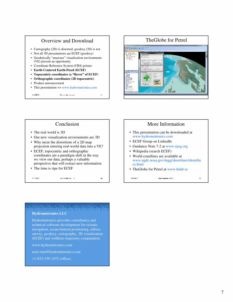
• This presentation => www.hydrometronics.com 7/12/2010 Hydrometronics LLC 38TheGlobe for Petrel
7/12/2010 Hydrometronics LLC 39Conclusion
• The real world is 3D
• Our new visualization environments are 3D
• Why incur the distortions of a 2D map projection entering real-world data into a VE?
• ECEF, topocentric and orthographic coordinates are a paradigm shift in the way we view our data, perhaps a valuable perspective that will extract new information
• The time is ripe for ECEF 7/12/2010 Hydrometronics LLC 40More Information
• This presentation can be downloaded at www.hydrometronics.com
• ECEF Group on LinkedIn
• Guidance Note 7-2 at www.epsg.org
• Wikipedia (search ECEF)
• World coastlines are available at www.ngdc.noaa.gov/mgg/shorelines/shorelines.html
• TheGlobe for Petrel at www.hdab.se
7/12/2010 Hydrometronics LLC 41Hydrometronics LLC
Hydrometronics provides consultancy and
technical software development for seismic
navigation, ocean-bottom positioning, subsea
survey, geodesy, cartography, 3D visualization
(ECEF) and wellbore-trajectory computation.
www.hydrometronics.com
+1-832-539-1472 (office)