Embed Size (px)
Citation preview

OR Tambo to Registration: Kingsmead College, Rosebank 24.7km GPS Co-ordinates
26°08'47.16"S 28°02'44.64"E
https://goo.gl/maps/PijE3uJpNkq

Registration to Start: Karan Beef 75.3km GPS Co-ordinates
26°36‘27"S 28°19’13"E
https://goo.gl/maps/22rVriTb4QK2
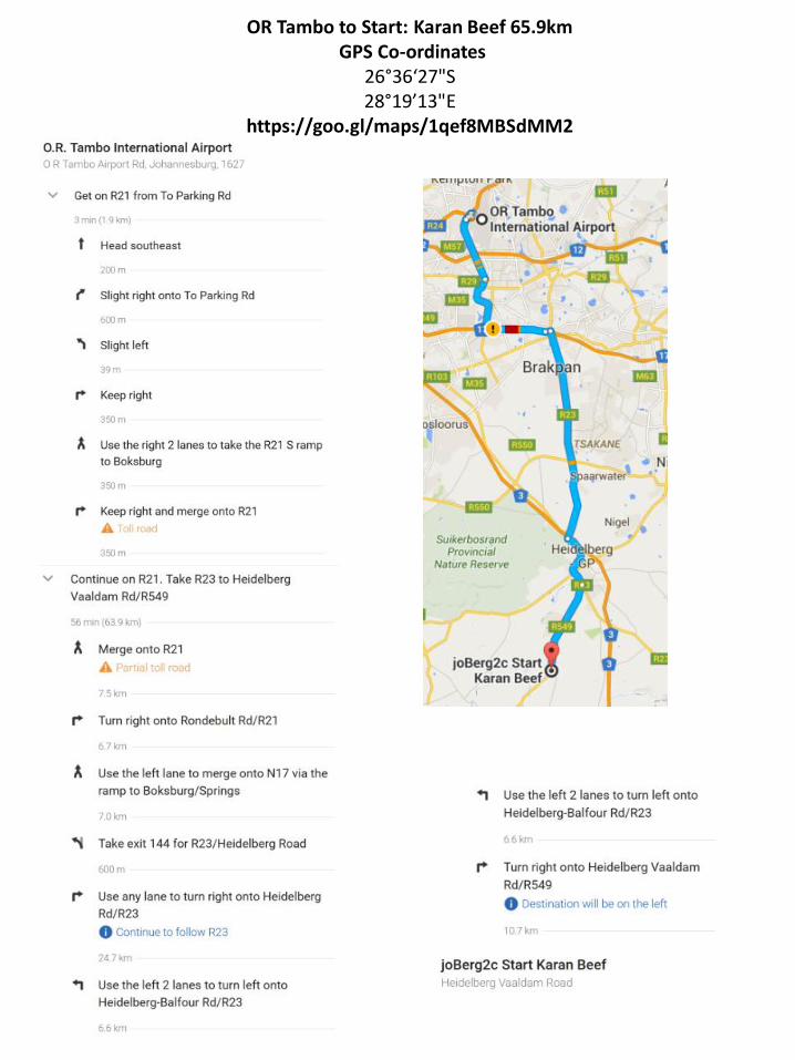
OR Tambo to Start: Karan Beef 65.9km GPS Co-ordinates
26°36‘27"S 28°19’13"E
https://goo.gl/maps/1qef8MBSdMM2

Start to Frankfort (end of Day 1): Frankfort Skool 103km GPS Co-ordinates
27°16'47.22"S 28°30'6.13"E
https://goo.gl/maps/T5cvqd5g5kF2

Frankfort to Reitz (end of Day 2): Reitz Show Grounds 63.7km GPS Co-ordinates
27°47'11.37"S 28°25'30.03"E
https://goo.gl/maps/7nGT1zSxTQ32

Reitz to Sterkfontein Dam (end of Day 3): 129km GPS Co-ordinates
28°24'45.11"S 29° 2'20.81"E
https://goo.gl/maps/owCR9Zjte5E2

Sterkfontein Dam to Em’seni (end of Day 4): 96.7km GPS Co-ordinates
-28.6760679,29.5314754 https://goo.gl/maps/tBNaYPNMZJo
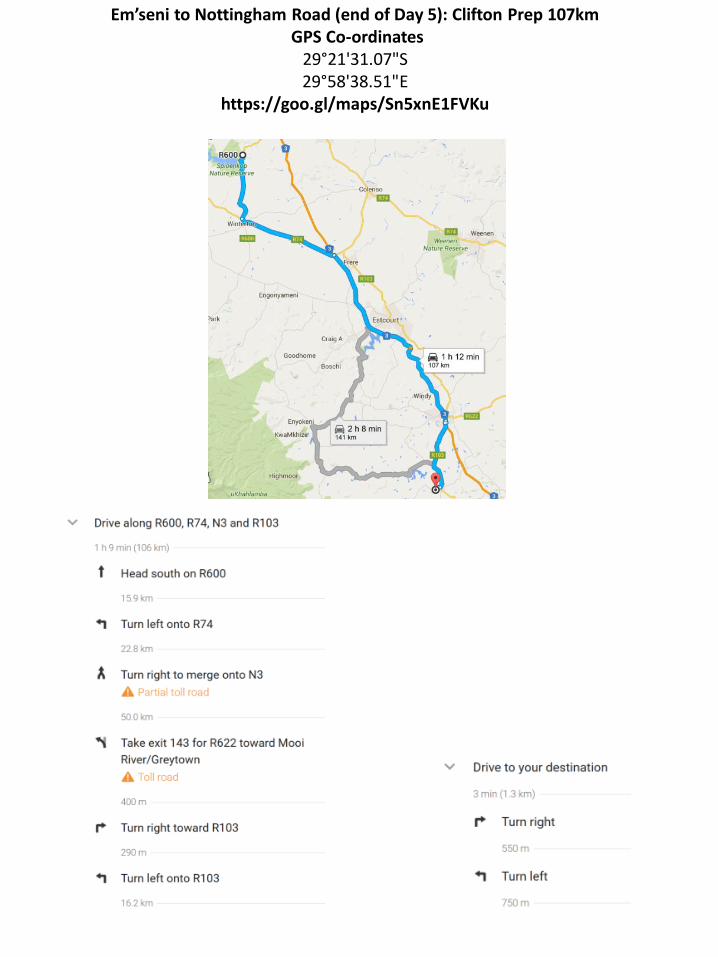
Em’seni to Nottingham Road (end of Day 5): Clifton Prep 107km GPS Co-ordinates
29°21'31.07"S 29°58'38.51"E
https://goo.gl/maps/Sn5xnE1FVKu

Clifton Prep to Glencairn Farm (end of Day 6): 188km GPS Co-ordinates
29*42’03.81S 29*29’29.29E
https://goo.gl/maps/PDvPFc5LKkT2

Glencairn to Mackenzie Club (end of Day 7): 79km GPS Co-ordinates
29°58'29.01"S 29°58'44.32"E
https://goo.gl/maps/2YQEviacXXw

Mackenzie Club to Jolivet Farm (end of Day 8): 74.3km GPS Co-ordinates
30°17'13.69"S 30°20'54.96"E
https://goo.gl/maps/r345dWeu2wn

Jolivet Farm to Finish (end of Day 9): Scottburgh School 53.4km GPS Co-ordinates
-30.2938094, 30.4786018 https://goo.gl/maps/kFq2V87mHbk