Embed Size (px)
Citation preview
Open Source Technologies and Remotely Sensed Data in
Protecting Elephants
Rosemary AllesDr. Justine Blanford
Penn State World CampusJuly 2015
Global Crisis: Poaching & Wildlife Trafficking100,000 Elephants were killed for their ivory between
2010 and 2012 Extinction looms within a generation and in localized
regions within decadesPoaching sponsors global terror and is destabilizing the
African continentThe largest markets for ivory (and rhino horn) are in
China, Asia and to a lesser extent the USAForest elephants are far more threatened that their savanna counterparts. 62-65% of Forest elephants have
been killed in 12 years, implying they do not have another 12.
Ecological impacts from the loss of elephants are predicted to be serious.
The Need for Functional, Feasible and Useable GIS
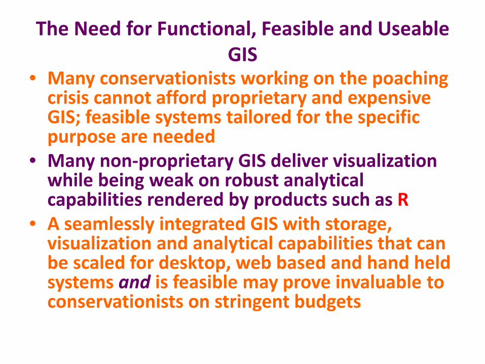
• Many conservationists working on the poaching crisis cannot afford proprietary and expensive GIS; feasible systems tailored for the specific purpose are needed
• Many non-proprietary GIS deliver visualization while being weak on robust analytical capabilities rendered by products such as R
• A seamlessly integrated GIS with storage, visualization and analytical capabilities that can be scaled for desktop, web based and hand held systems and is feasible may prove invaluable to conservationists on stringent budgets
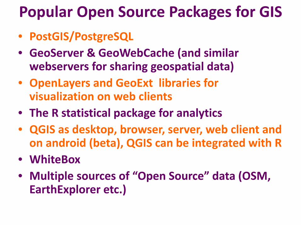
Popular Open Source Packages for GIS• PostGIS/PostgreSQL • GeoServer & GeoWebCache (and similar
webservers for sharing geospatial data)• OpenLayers and GeoExt libraries for
visualization on web clients • The R statistical package for analytics • QGIS as desktop, browser, server, web client and
on android (beta), QGIS can be integrated with R • WhiteBox • Multiple sources of “Open Source” data (OSM,
EarthExplorer etc.)
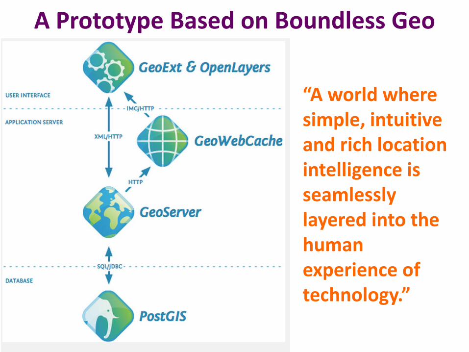
A Prototype Based on Boundless Geo
“A world where simple, intuitive and rich location intelligence is seamlessly layered into the human experience of technology.”
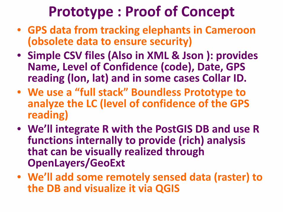
Prototype : Proof of Concept• GPS data from tracking elephants in Cameroon
(obsolete data to ensure security) • Simple CSV files (Also in XML & Json ): provides
Name, Level of Confidence (code), Date, GPS reading (lon, lat) and in some cases Collar ID.
• We use a “full stack” Boundless Prototype to analyze the LC (level of confidence of the GPS reading)
• We’ll integrate R with the PostGIS DB and use R functions internally to provide (rich) analysis that can be visually realized through OpenLayers/GeoExt
• We’ll add some remotely sensed data (raster) to the DB and visualize it via QGIS
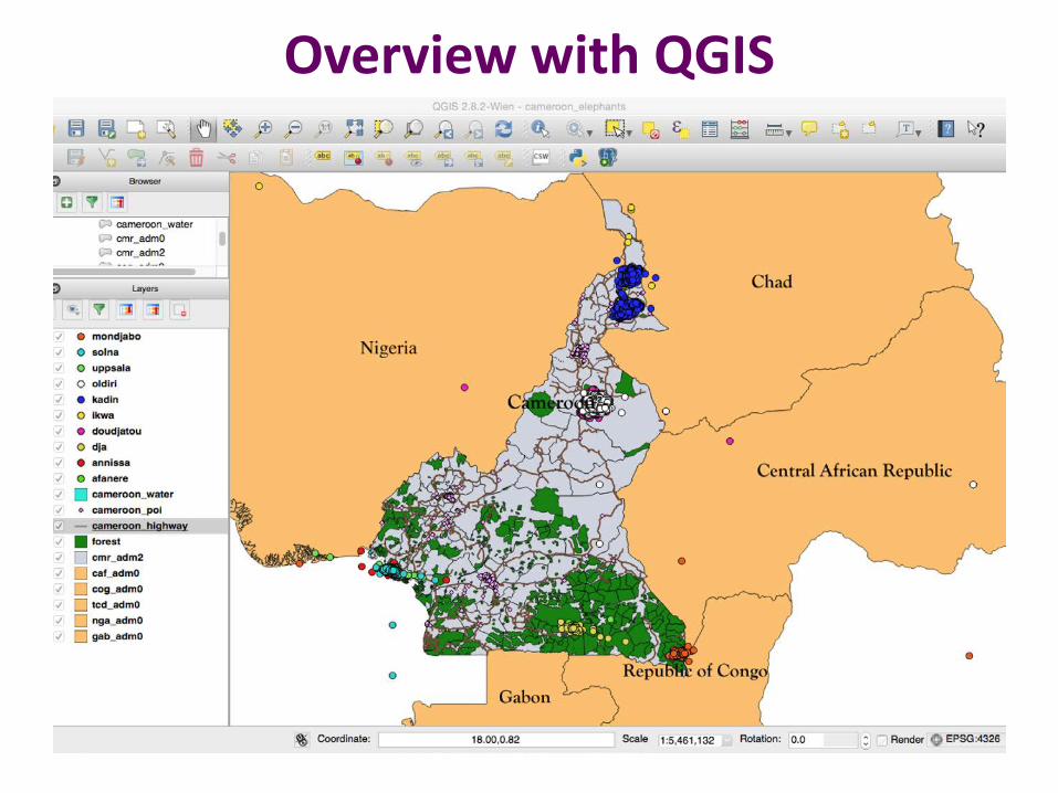
Overview with QGIS
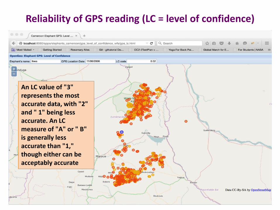
Reliability of GPS reading (LC = level of confidence)
An LC value of "3" represents the most accurate data, with "2" and " 1" being less accurate. An LC measure of "A" or " B" is generally less accurate than "1," though either can be acceptably accurate
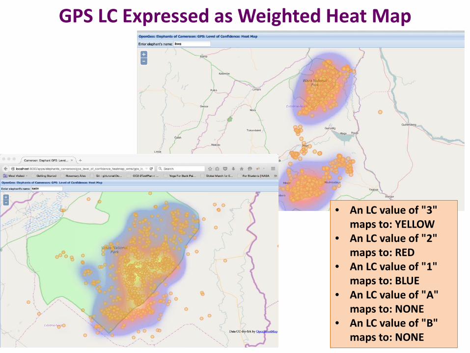
GPS LC Expressed as Weighted Heat Map
• An LC value of "3" maps to: YELLOW
• An LC value of "2" maps to: RED
• An LC value of "1" maps to: BLUE
• An LC value of "A" maps to: NONE
• An LC value of "B" maps to: NONE
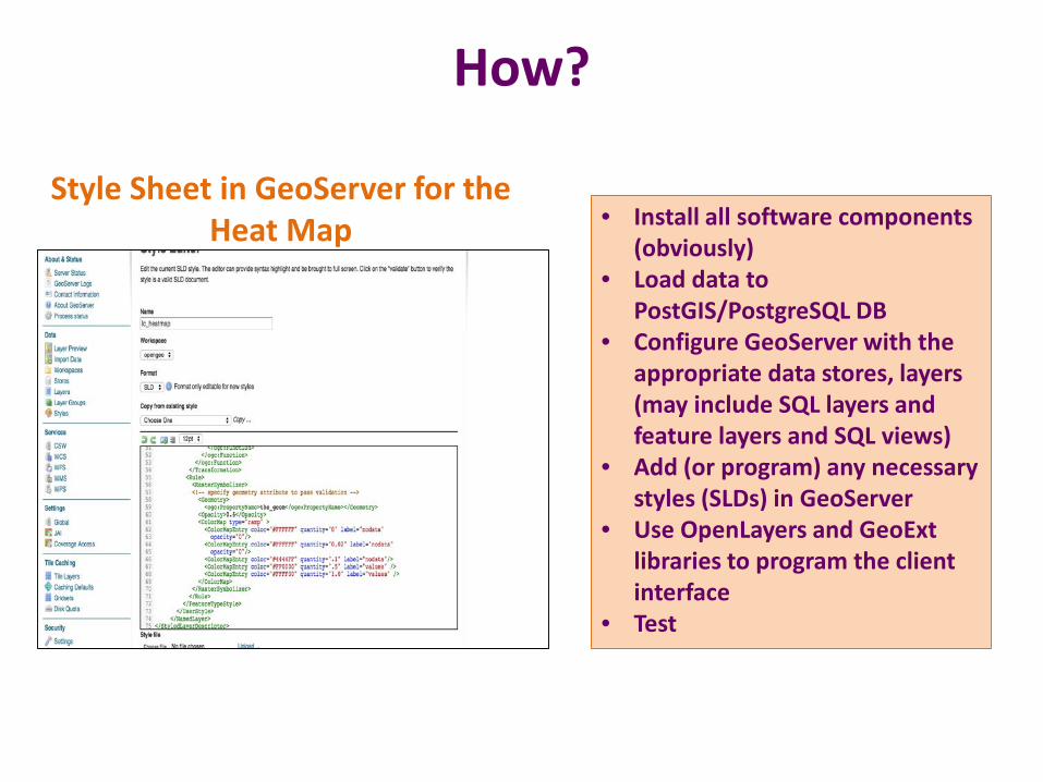
How?
• Install all software components (obviously)
• Load data to PostGIS/PostgreSQL DB
• Configure GeoServer with the appropriate data stores, layers (may include SQL layers and feature layers and SQL views)
• Add (or program) any necessary styles (SLDs) in GeoServer
• Use OpenLayers and GeoExt libraries to program the client interface
• Test
Style Sheet in GeoServer for the Heat Map
Integrating Analysis Capabilities:Using PLR to Determine Home Ranges
• BoundlessGeo’s full stack GIS is not integrated with any specific analysis package
• Once R is installed, it can be integrated with PostGIS/PostgreSQL via PLR: The Procedural Language for R
• By CREATING a PLR Extension on the DB, all libraries installed with R (and those that can be installed in the future) become accessible to the DB. Functions within those libraries can be accessed to create “new” PostgreSQL functions which are then available to SQL queries
• For the prototype we incorporate the R library adehabitatHR which has a slew of functions available to compute home ranges, similarly, adehabitatLT (for analyzing animal movements) and adehabitatMA (for analyzing raster maps) are also available.
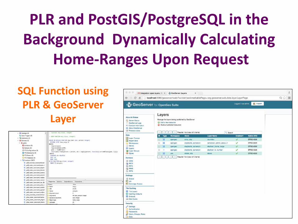
PLR and PostGIS/PostgreSQL in the Background Dynamically Calculating
Home-Ranges Upon Request
SQL Function using PLR & GeoServer
Layer
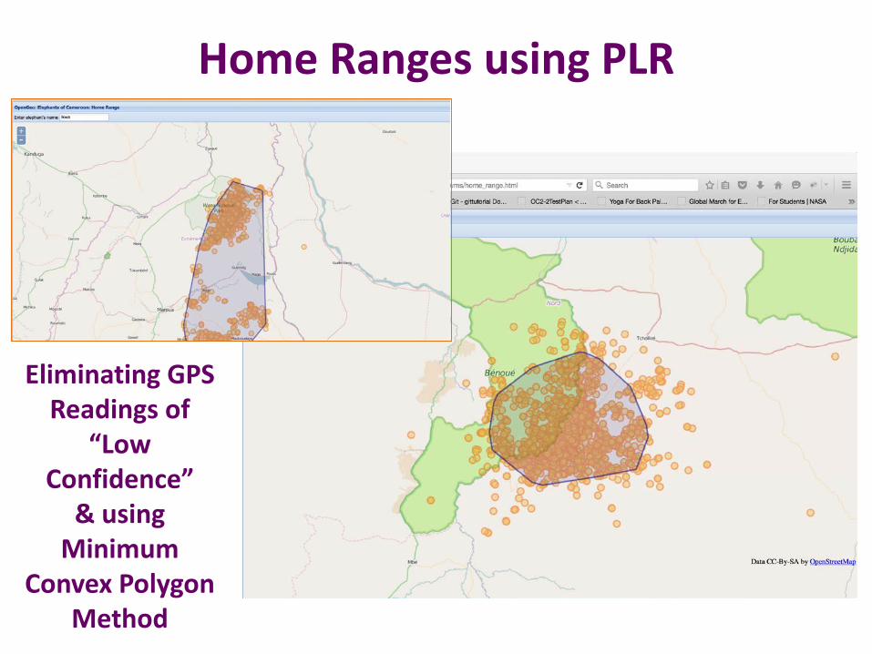
Home Ranges using PLR
Eliminating GPS Readings of
“Low Confidence”
& usingMinimum
Convex Polygon Method
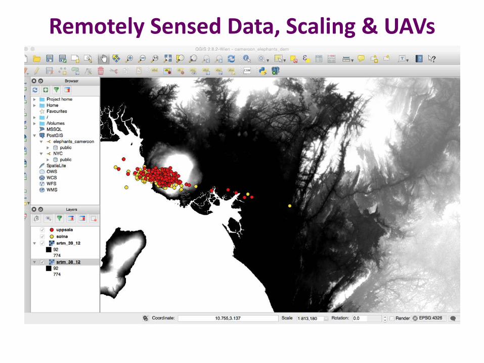
Remotely Sensed Data, Scaling & UAVs
Problems Experienced with the Process• Installing Open Source Geo Spatial software
components on mac OS X 10.10.3 (Yosemite) is sub optimal. A great deal of trial and error before everything starts “talking” to everything else ‘nicely’!
• Documentation is not maintained (many open source packages suffer this unfortunate syndrome) leading to a great deal of time spent experimenting and researching
• BoundlessGeo’s GIS stack does work as advertised, again, documentation needs improving
• Open Source technologies offer rich and interesting opportunities to develop context specific GIS. Careful consideration must be given to maintainability, retaining skill and on-going support.