Embed Size (px)
Citation preview

On the Map:Building a Better America
Through Increased Use of Geospatial Technology
Jeff Lovin, MAPPS PresidentKeynote Address
West Virginia GIS Conference
June 8, 2010

• National (international) non-profit 501(c)(6) assn. • Only U.S. trade association of private geospatial
firms• Formed in 1982• 180+ members: private firms• Staff of six (6) professionals in Washington, DC
area• Annual budget of over $800,000

MAPPS has an effective and influential government relations program in Washington, DC and in the states that seeks to advance policies that benefit private geospatial firms, the geospatial community at large and the nation as a whole.

• Eyes, Ears & Voice for the profession in the States and Washington, DC – full time staff lobbyist
• Monitor legislation in all 50 states– Now partner with ASPRS
• Deploy lobbyists in state legislatures as needed• MAPPS PAC• Member of COFPAES, COGO, US Chamber of Commerce,
Business Coalition for Fair Competition

• Adopted Strategic Plan• Active Committee System• Liaison With Federal Agencies• Salary & Non-cash Benefits Survey • Economic Survey

• Winter Meeting – January• Federal Programs Conference – March• Summer Meeting – July• Fall Policy Conference (Oct-Nov)• Washington Policy Luncheons

• FLIGHTLINE• CAPITOL COVERAGE• WWW.MAPPS.ORG
– News– Information– Member Firm Profiles

• Member Firms - engaged in satellite and airborne remote sensing, surveying, photogrammetry, aerial photography, LIDAR, hydrography, bathymetry, charting, aerial and satellite image processing, GPS, GIS data collection and conversion, and other geospatial –related services
• Associate Member Firms - companies that provide hardware, software, products and services to the geospatial profession in the United States and other firms from around the world
• Independent Consultant - sole proprietor without payroll or other employees who provide services in or to the geospatial community

Past Federal Accomplishments• Brooks Act QBS for Surveying, Mapping• Geospatial Office in DHS• Aerial Surveys Resumed After 9/11• Contracting out by NOAA, USGS, NGA• Reform of FEMA Flood Mapping

Past State Accomplishments• Passed favorable licensing bills in SC, VA & others• Defeated unfavorable licensing bills in WA, WI• Attacked DOT competition in WA and NC• Sat on State Legislature panel creating VGIN • Assisted firms on sales tax exemption in several
states

Current Activities

Current Activities• Highway Bill
– MAPPS is seeking the establishment of a Geospatial Management Office in USDOT, similar to what did in DHS after 9-11.
• Coordination• Strategic Investment (NSDI, IFTN, etc.)• Create innovative public-private partnerships between state DOTs in highway
program and private geospatial firms, as recommended in TRB report• Working with US DOT Inspector General on an investigation into
state DOT duplication of and competition with private mapping firms, in violation of law passed with help of Rep. Nick Joe Rahall, II (D-WV)

Parcels/Land Inventory
– MAPPS Cadastre Task Force Chair Susan Marlow testified before House Financial Services Subcommittee on September 17, 2009
• Parcel system as early warning system to mortgage crisis• Transparency in TARP spending (geo-enabled visualization)• Amend Home Mortgage Disclosure Act (HMDA) to collect data at
parcel, rather than just Census Tract level• Review Title 13 restrictions on address data in Census • Met with Federal Reserve Board last week on HMDA collection of
parcel & address data

Digital Coast
• Last year, Congress enacted Omnibus Public Land Management Act of 2009 , included the Ocean and Coastal Mapping Integration Act (§ 12201-12208 of Public Law 111-11)– Law creates an IOCM structure, but not a data collection program– MAPPS (Lovin, Palatiello) participated in NOAA workshop in November, 2009
in Charleston, SC on implementation of the new IOCM law• MAPPS is seeking legislation to create a data collection program, as called for
in the “Digital Coast” initiative and the NRC Report, A Geospatial Framework for the Coastal Zone: National Needs for Coastal Mapping

Digital Coast– Prioritization of requirements– Annual chart Inventory assessment– Data standards– Collection of shoreline delineation, imagery, land use/land cover
mapping, benthic habitat, topo, bathy, aquatic vegetation – Geodetic framework– Consistent national definition of shoreline
• Gulf of Mexico oil spill has dramatically demonstrated the need for current, accurate coastal geospatial data for management, prevention, response, and remediation

Geospatial Governance– MAPPS led the effort to get July 23, 2009 oversight hearing
in House Natural Resources Subcommittee (with jurisdiction over USGS/FGDC) on Federal Geospatial Data Management
• John Palatiello & Susan Marlow were witnesses• Hearing resulted in full Committee Chairman Rahall (D-WV)
sending letter to ARRA Board on use of Census address data for Broadband mapping requirements
• MAPPS staff now working with Subcommittee staff on possible follow-up legislation
– IFTN (MAP Act), Governance/Coordination
A Look to the Future

What do these issues all have in common?• Climate Change/Cap & Trade• Energy/Smart-Grid• Jobs/Employment & Economic
Development / Recovery • Health Care• Housing/Mortgage Crisis• Universal Broadband
• Emergency Management/Response
• Environment /Sustainable Development & High Performing Communities
• Homeland & National Security• Highways, Transportation &
Infrastructure

• They all –– Are on the Congressional & Obama agendas– Require the NSDI– Lack a NSDI provision in these billsAnd the data to effectively implement these bills
does not currently exist in any comprehensive, accessible form
MAPPS is working to raise awareness in Congress

Health Care • Recently-passed Health Care bill has 814
references to geographic terms or provisions that could require geographic information
• The enacted bill has neither a GIS, GMO or geospatial utilization or coordination provision

Health Care BillGEOSPATIAL TERM NUMBER OF USES
AREA 383GEOGRAPHIC 51
SIZE 67PROPERTY 35
COUNTY 18LOCATION 31
ENVIRONMENT 32TRANSPORTATION 11
NATIONWIDE 42STATEWIDE 27INCIDENCE 7
INFORMATION TECHNOLOGY 26RESIDENCE 6ADDRESS 13
SPACE 1SURVEILLANCE 15
PLACE 10INFORMATION SYSTEM 8
RELOCATION 2DISTANCE 3REMOTE 4
ARCHITECTURAL 2PROXIMITY 1
WORKPLACE 19TOTAL 814

H. R. 2454 – American Clean Energy and Security Act • Address Climate Change, Impose a System of Cap &
Trade• No provision to use geospatial data to monitor,
measure, verify or validate the effects of climate change
• No provision to provide a parcel-based system to measure CO2 for Cap & Trade
• No provision to map the smart grid

S. 1619 - Livable Communities Act• Comprehensive Planning to –
-- coordinate land use, housing, transportation, and infrastructure planning processes across jurisdictions and agencies;-- identify potential state, local and regional partnerships for developing and implementing a comprehensive regional plan;-- conduct or update housing, infrastructure, transportation, energy, and environmental assessments to determine regional needs and promote sustainable development;
• No mention of GIS or geospatial

Planning + Economic Development = GIS
Planning + Environmental Protection = GIS
Planning + Affordable Housing = GISPlanning + Public Health = GISPlanning + Transportation = GIS

K-12 Education
Obama Administration’s revision to No Child Left Behind, the Elementary and Secondary Education Act, “A Blueprint for Reform,” a 44-page proposal, fails to use the words “geography” , “geospatial” or “GIS” even once.
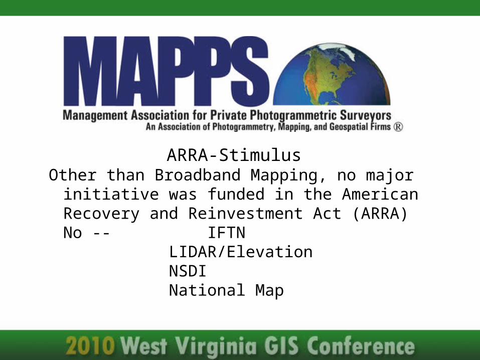
ARRA-StimulusOther than Broadband Mapping, no major initiative was
funded in the American Recovery and Reinvestment Act (ARRA) No -- IFTN
LIDAR/ElevationNSDINational Map

H.R. 1242 - to amend the Emergency Economic Stabilization Act
• House-passed bill provides for additional monitoring and accountability of the Troubled Asset Relief Program (TARP)
• Includes MAPPS provision that calls on the Secretary of the Treasury to ensure the official TARP accountability database "provides geospatial analysis capabilities."

S. 3217 – “Restoring American Financial Stability Act ”
• Senate-passed financial services reform bill amends the Home Mortgage Disclosure Act to provide that the new Bureau of Consumer Financial Protection with the Federal Reserve board will collect “as the Bureau may determine to be appropriate, the parcel number that corresponds to the real property pledged or proposed to be pledged as collateral”

Senate Report Language• “Section 1092 makes conforming and other amendments to the
Home Mortgage Disclosure Act. The amendments require new data fields to be reported to the Bureau, including borrower age, total points and fees information, loan pricing, prepayment penalty information, house value for loan to value ratios, period of introductory interest rate, interest-only or negative amortization information, terms of the loan, channel of origination, unique originator ID from the Secure and Fair Enforcement for Mortgage Licensing Act, universal loan identifier, parcel number to permit geocoding, and credit score.”
A Call to Action

To realize the full potential of GISTo mobilize the GIS community to be active,
rather than passiveTo recognize the political reality that the map
or the GIS is not the end, but the means to the end

“Lobbying” is not a dirty (or 4-letter) word, it is a Constitutional right, guaranteed by the 1st Amendment
It is “educating” lawmakersIf not us, who, if not now, when?

MAPPS1856 Old Reston Avenue
Suite 205Reston, VA 20190
(703) 787-6996www.mapps.org
Twitter: @MAPPSorgwww.facebook.com/mappsorg
LinkedIn (enter MAPPS)