Embed Size (px)
Citation preview
�������������� ���������������������� ��� ���
This Guide explains: � The purpose of an Official Community
Plan (OCP) � OCP amendment applications � The OCP amendment process � Commonly asked questions
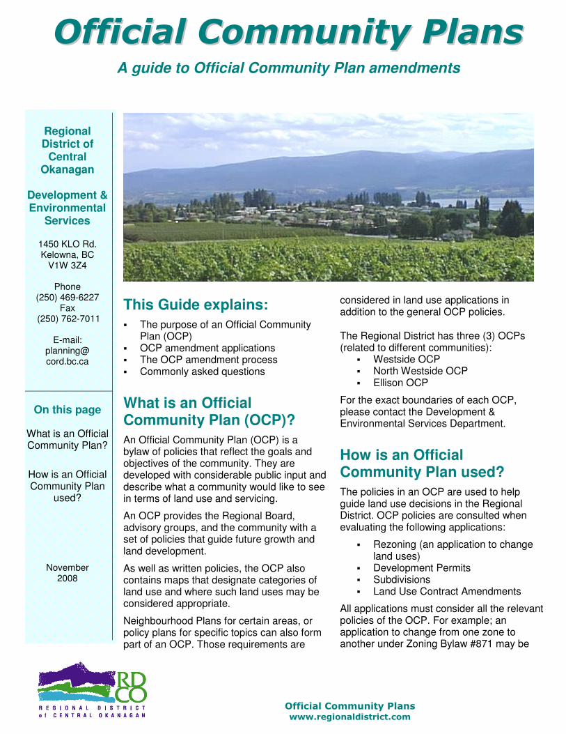
What is an Official Community Plan (OCP)? An Official Community Plan (OCP) is a bylaw of policies that reflect the goals and objectives of the community. They are developed with considerable public input and describe what a community would like to see in terms of land use and servicing.
An OCP provides the Regional Board, advisory groups, and the community with a set of policies that guide future growth and land development.
As well as written policies, the OCP also contains maps that designate categories of land use and where such land uses may be considered appropriate.
Neighbourhood Plans for certain areas, or policy plans for specific topics can also form part of an OCP. Those requirements are
considered in land use applications in addition to the general OCP policies. �The Regional District has three (3) OCPs (related to different communities):
� Westside OCP � North Westside OCP � Ellison OCP
For the exact boundaries of each OCP, please contact the Development & Environmental Services Department.
How is an Official Community Plan used? The policies in an OCP are used to help guide land use decisions in the Regional District. OCP policies are consulted when evaluating the following applications:
� Rezoning (an application to change land uses)
� Development Permits � Subdivisions � Land Use Contract Amendments
All applications must consider all the relevant policies of the OCP. For example; an application to change from one zone to another under Zoning Bylaw #871 may be
�������������������������� ����������������
A guide to Official Community Plan amendments
Regional District of
Central Okanagan
Development & Environmental
Services
1450 KLO Rd. Kelowna, BC
V1W 3Z4
Phone (250) 469-6227
Fax (250) 762-7011
E-mail:
planning@ cord.bc.ca
On this page
What is an Official Community Plan?
How is an Official Community Plan
used?
November 2008

�������������� ���������������������� ��� ���
required to consider the general policies of the OCP as well as other policy documents that form part�of the OCP such as the Agricultural Plan or a Neighbourhood Plan for that area.��
How is an Official Community Plan amended? If an application (such as a zoning amendment) does not conform to the OCP for the area, an OCP bylaw amendment application to change the land use designation is required. Usually, both applications may proceed through the process simultaneously.
It is important to remember that an OCP reflects the objectives of the community and is the result of a long public process. An application to change a designation in the OCP will be carefully considered in light of the overall policies and objectives.
How is an application to amend the OCP made? The Development & Environmental Services Department has application packages that outline the required information, drawings and fees. It is important to make an appointment with planning staff before submitting a formal application. Staff will be pleased to review requirements and provide information. This will ensure a complete application and prevent unnecessary delays.
If the Regional Board defeats an application there is a six-month waiting period before an�applicant can reapply.�
What are the application costs? The cost of an OCP amendment can vary depending upon the complexity of the application. Some of typical costs are: � The application fee. Please refer to the
“Application Fee Schedule” � Any documents/plans necessary to
complete the application such as legal surveys, site plans, etc.
� Any professional reports or information required by the Development & Environmental Services Department or the Regional Board
� Any offsite requirements such as road improvements, drainage issues or fire fighting needs
� Any legal fees such as legal interpretation, or the registering of amendments or restrictive covenants on the title of the subject property
On this page
How is an Official
Community Plan
amended?
How is an application to
amend an OCP made?
What are the
costs?

�������������� ���������������������� ��� ���
What is the Official Community Plan amendment process? The Local Government Act regulates the process for an application. A summary of the process is outlined in this brochure.
Included in the process are public notification, public hearing, and four (4) opportunities for consideration of the application by the Regional Board (called ‘readings’). The application is approved when given fourth and final reading.
It is important to remember that submitting an application does not guarantee approval.
How long does the application process take? Regional District Staff does their best to ensure that applications are dealt with in a timely manner. Most applications take approximately 6 to 8 months to proceed through the evaluation and approval process. More complex applications may take up to 12 months.
Additional information may be requested at any time during the process and cannot proceed before that information is provided. An applicant can considerably reduce any delays by supplying prompt replies with complete information.
On this page
What is the process?
What is the OCP amendment
process?
How long does the process
take?
The Amendment Process
Flowchart
The OCP Process

�������������� ���������������������� ��� ���
For more information… �������������������� ������������
������� ��������� ��� �� ��� ������ �
� �� �������������� ������ � ����������� � � ��
� � !� � � " #�$ ��% ����& �� ����' ����� �� �( �) �
�' ���% ����( �* ) ���������� ��( �) ���� � ��
� � �. This brochure is to be used in conjunction with our other informational brochures and as an aid in discussions with staff. It is general in nature, and is not a legal document. Any contradiction, dispute or difference between the contents of this brochure and applicable bylaws, plans, policies or guidelines will be resolved by reference to the bylaws or other official documents. This brochure does not apply to incorporated areas within the Regional District of Central Okanagan such as Peachland, Kelowna, or Lake Country, nor does it apply to First Nation land. You should always refer to the official copies of the Official Community Plans, Zoning Bylaw, Subdivision and Development Bylaw and other formal Regional District documents if you are unsure of any procedure or requirement. Staff will be pleased to be of assistance.��
On this page
What advisory groups does the
Regional District have?
What is the role of the MoT?
How to find more
information?
What advisory groups does the Regional District have? The Regional District has three (3) advisory groups, which provide comments on the various applications/referrals. These comments are considered in any decision made by the Regional Board.
Members of an advisory group are appointed by the Regional Board based on their background of civic activity, interest or expertise.
Applications may be referred to one or more of the following advisory groups: � Advisory Planning Commission
� Central Okanagan East � Central Okanagan West
� Agricultural Advisory Committee � Environmental Advisory Committee
Applicants are informed when their application is to be reviewed by an advisory group. Applicants have the right to speak and be heard at these meetings.
What is the role of the Ministry of Transportation & Infrastructure? Ministry of Transportation & Infrastructure (MoT) is responsible for all public roads within the Regional District (except on First Nation land or the incorporated areas of Peachland, Kelowna and Lake Country).
This means that MoT has an important role in OCP amendment applications and meeting their requirements is important. The Ministry can be contacted at: Ministry of Transportation & Infrastructure #300 – 1358 St. Paul Street Kelowna, BC V1Y 2E1 Phone (250) 712-3660
or Ministry of Transportation & Infrastructure 4791 – 23rd Street Vernon, BC V1T 4K9 Phone (250) 503-3664
�
(Vernon MoT is responsible for properties in the general vicinity of Caesars Landing and north up to and including Westshore Estates)�