Embed Size (px)
Citation preview
1
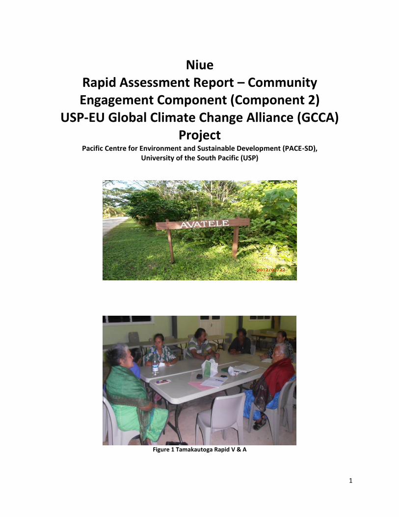
Niue Rapid Assessment Report – Community Engagement Component (Component 2)
USP-EU Global Climate Change Alliance (GCCA) Project
Pacific Centre for Environment and Sustainable Development (PACE-SD), University of the South Pacific (USP)
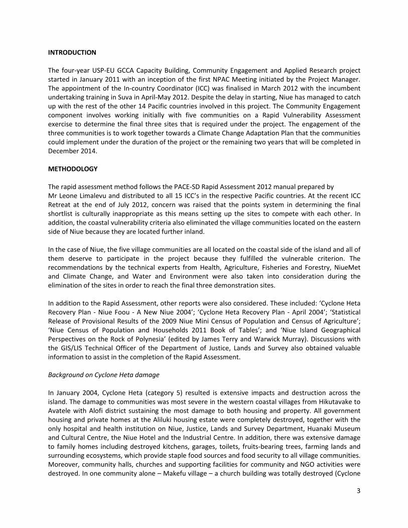
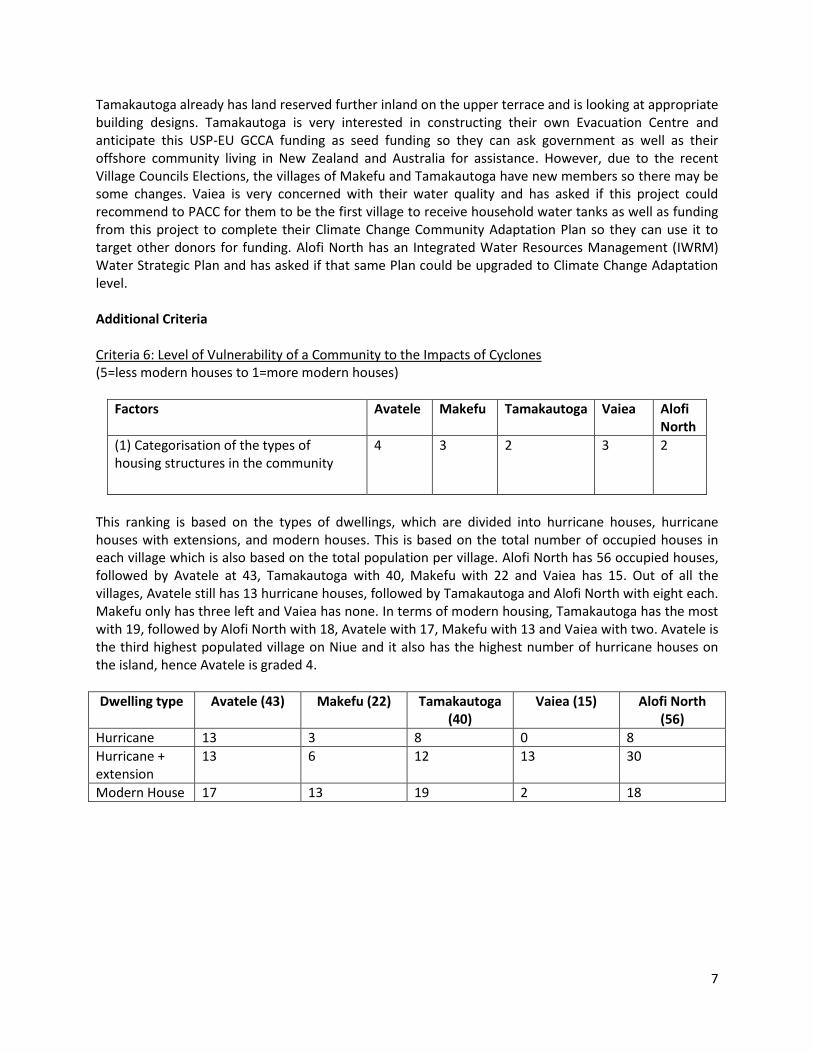
Figure 1 Tamakautoga Rapid V & A
2
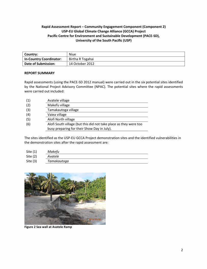
Rapid Assessment Report – Community Engagement Component (Component 2) USP-EU Global Climate Change Alliance (GCCA) Project
Pacific Centre for Environment and Sustainable Development (PACE-SD), University of the South Pacific (USP)
Country: Niue
In-Country Coordinator: Birtha R Togahai
Date of Submission: 14 October 2012
REPORT SUMMARY Rapid assessments (using the PACE-SD 2012 manual) were carried out in the six potential sites identified by the National Project Advisory Committee (NPAC). The potential sites where the rapid assessments were carried out included:
(1) Avatele village
(2) Makefu village
(3) Tamakautoga village
(4) Vaiea village
(5) Alofi North village
(6) Alofi South village (but this did not take place as they were too busy preparing for their Show Day in July).
The sites identified as the USP-EU GCCA Project demonstration sites and the identified vulnerabilities in the demonstration sites after the rapid assessment are:
Site (1) Makefu
Site (2) Avatele
Site (3) Tamakautoga
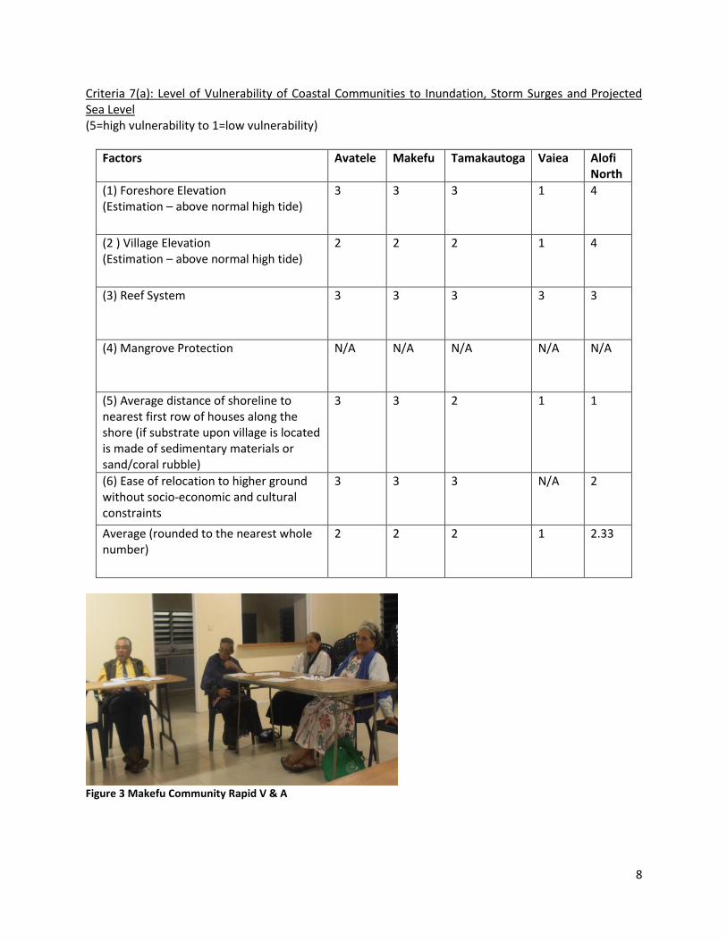
Figure 2 Sea wall at Avatele Ramp
3
INTRODUCTION The four-year USP-EU GCCA Capacity Building, Community Engagement and Applied Research project started in January 2011 with an inception of the first NPAC Meeting initiated by the Project Manager. The appointment of the In-country Coordinator (ICC) was finalised in March 2012 with the incumbent undertaking training in Suva in April-May 2012. Despite the delay in starting, Niue has managed to catch up with the rest of the other 14 Pacific countries involved in this project. The Community Engagement component involves working initially with five communities on a Rapid Vulnerability Assessment exercise to determine the final three sites that is required under the project. The engagement of the three communities is to work together towards a Climate Change Adaptation Plan that the communities could implement under the duration of the project or the remaining two years that will be completed in December 2014. METHODOLOGY The rapid assessment method follows the PACE-SD Rapid Assessment 2012 manual prepared by Mr Leone Limalevu and distributed to all 15 ICC’s in the respective Pacific countries. At the recent ICC Retreat at the end of July 2012, concern was raised that the points system in determining the final shortlist is culturally inappropriate as this means setting up the sites to compete with each other. In addition, the coastal vulnerability criteria also eliminated the village communities located on the eastern side of Niue because they are located further inland. In the case of Niue, the five village communities are all located on the coastal side of the island and all of them deserve to participate in the project because they fulfilled the vulnerable criterion. The recommendations by the technical experts from Health, Agriculture, Fisheries and Forestry, NiueMet and Climate Change, and Water and Environment were also taken into consideration during the elimination of the sites in order to reach the final three demonstration sites. In addition to the Rapid Assessment, other reports were also considered. These included: ‘Cyclone Heta Recovery Plan - Niue Foou - A New Niue 2004’; ‘Cyclone Heta Recovery Plan - April 2004’; ‘Statistical Release of Provisional Results of the 2009 Niue Mini Census of Population and Census of Agriculture’; ‘Niue Census of Population and Households 2011 Book of Tables’; and ‘Niue Island Geographical Perspectives on the Rock of Polynesia’ (edited by James Terry and Warwick Murray). Discussions with the GIS/LIS Technical Officer of the Department of Justice, Lands and Survey also obtained valuable information to assist in the completion of the Rapid Assessment. Background on Cyclone Heta damage In January 2004, Cyclone Heta (category 5) resulted is extensive impacts and destruction across the island. The damage to communities was most severe in the western coastal villages from Hikutavake to Avatele with Alofi district sustaining the most damage to both housing and property. All government housing and private homes at the Aliluki housing estate were completely destroyed, together with the only hospital and health institution on Niue, Justice, Lands and Survey Department, Huanaki Museum and Cultural Centre, the Niue Hotel and the Industrial Centre. In addition, there was extensive damage to family homes including destroyed kitchens, garages, toilets, fruits-bearing trees, farming lands and surrounding ecosystems, which provide staple food sources and food security to all village communities. Moreover, community halls, churches and supporting facilities for community and NGO activities were destroyed. In one community alone – Makefu village – a church building was totally destroyed (Cyclone
4
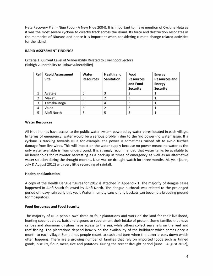
Heta Recovery Plan - Niue Foou - A New Niue 2004). It is important to make mention of Cyclone Heta as it was the most severe cyclone to directly track across the island. Its force and destruction resonates in the memories of Niueans and hence it is important when considering climate change related activities for the island. RAPID ASSESSMENT FINDINGS Criteria 1: Current Level of Vulnerability Related to Livelihood Sectors (5=high vulnerability to 1=low vulnerability)
Ref Rapid Assessment Site
Water Resources
Health and Sanitation
Food Resources and Food Security
Energy Resources and Energy Security
1 Avatele 5 3 3 1
2 Makefu 5 2 3 1
3 Tamakautoga 5 4 3 1
4 Vaiea 5 2 3 1
5 Alofi North 5 5 3 1
Water Resources All Niue homes have access to the public water system powered by water bores located in each village. In terms of emergency, water would be a serious problem due to the ‘no power=no water’ issue. If a cyclone is tracking towards Niue for example, the power is sometimes turned off to avoid further damage from live wires. This will impact on the water supply because no power means no water as the only water available is from underground. It is strongly recommended that water tanks be available to all households for rainwater harvesting as a back-up in times of emergency as well as an alternative water solution during the drought months. Niue was on drought watch for three months this year (June, July & August 2012) with very little recording of rainfall. Health and Sanitation A copy of the Health Dengue figures for 2012 is attached in Appendix 1. The majority of dengue cases happened in Alofi South followed by Alofi North. The dengue outbreak was related to the prolonged period of heavy rain early this year. Water in empty cans or any buckets can become a breeding ground for mosquitoes. Food Resources and Food Security The majority of Niue people own three to four plantations and work on the land for their livelihood, hunting coconut crabs, bats and pigeons to supplement their intake of protein. Some families that have canoes and aluminum dinghies have access to the sea, while others collect sea shells on the reef and reef fishing. The plantations depend heavily on the availability of the bulldozer which comes once a month to each village. Sometimes people resort to slash and burn when the dozer breaks down which often happens. There are a growing number of families that rely on imported foods such as tinned goods, biscuits, flour, meat, rice and potatoes. During the recent drought period (June – August 2012),
5
most families relied on imported food including potatoes, rice, flour and biscuits. This is a vital lesson that should be noted by the three communities for next year and the years to come. Energy Resources and Energy Security All households on Niue are connected to the main power grid. Multiple energy sources are used for cooking including electricity, charcoal stove and gas. Criteria 2: Current Level of Adaptive Capacity Related to Livelihood Sectors (5=highly commercial/high income to 1=purely subsistence/low income)
Factors Avatele Makefu Tamakautoga Vaiea Alofi North
(i) Level of income per household (estimated)
3 3 3 3 5
(ii) Predominant type of economic system either in the agriculture or fisheries sectors
3 3 3 3 5
Level of Income The information used to assess this was extracted from the income level per village, based on the annual gross income for the five villages (received from the Statistics Department). Predominant Economic System The predominant type of economic system is based on the semi-subsistence living of four of the five villages with a substantial number of households in Alofi engaged in fishing and agriculture for commercial purposes. Criteria 3: Level of Community Need (5=entirely community driven project to 1=climate change not an issue)
Factors Avatele Makefu Tamakautoga Vaiea Alofi North
(i) Level of community need related to community commitment to addressing climate-induced related stresses in past community projects
3 3 3 3 3
The villages of Makefu and Alofi North were the two sites for the Marine Protected Areas (MPA) project 10 years ago. This project was facilitated by the Department of Environment through the Village Council and their respective communities. It is good to note that both sites still maintain and continue protection of their MPAs up to today. Avatele also had a ramp project completed in the early 1980s that assisted fishermen in using their dinghies, outboard motor boats as well as canoes for fishing. The sea wall was also built to protect the sea track down to the ramp. Vaiea is currently working with Taoga Niue (Department of Heritage) on its old village Fatiau Restoration Project. Vaiea used to be located near the
6
coast (called Fatiau) but relocated further inland in the 1960’s due to some unexplained eye illness or resulting from living too close to the sea. Tamakautoga, Vaiea and Alofi North (feeding Makefu) recently just had new water reservoirs constructed as part of the government water project in their communities. Criteria 4: Level of Community Interest (5=high interest to 1= low interest)
Factors Avatele Makefu Tamakautoga Vaiea Alofi North
(i) Level of interest shown for the proposed project
5 5 5 4 1
The villages of Avatele, Makefu, Tamakautoga and Vaiea showed their interest through the attendance of their key representatives at the Rapid Assessment meetings. Key sectors and various groups within the community were represented such as the women’s group, youth group, men’s group, private sector and church group. Alofi North expressed disappointment due to the low number of representatives at the Rapid Assessment meeting despite informing them through the village meeting, and notice to each households followed by emails. Criteria 5: Feasibility of the Project (5=low funding to 1=high funding)
Factors Avatele Makefu Tamakautoga Vaiea Alofi North
(i) Approximate cost of funding a livelihood adaptation project related to project funding allocation per site or community
3 3 3 3 3
The ranking is based on the examples of adaptation projects discussed at the Rapid Assessment meetings with each of the villages keen to know the approximate amount of funding so they can work towards a project that is achievable. Some of the villages, for instance, Avatele is keen to upgrade their evacuation centre and eager to contribute their own funding if the allocation funding from USP-EU GCCA can provide seed funding to enable them to achieve this much needed goal. Avatele has a building but it needs upgrading to include amenities such as public convenience, kitchen facilities and emergency furniture. They are hoping to receive a household water tank from the Pacific Adaptation to Climate Change (PACC) project (implemented by the South Pacific Regional Environment Programme) for the Evacuation Centre. However, the group that participated in the discussions preferred to open it to the wider community and hear what they have to say. In Makefu, five families have already titled their land on the upper terrace ready for relocation; three have confirmed their land in court and two are in progress. There is discussion for relocation but plans were shelved by the change of new Village Councillors.
7
Tamakautoga already has land reserved further inland on the upper terrace and is looking at appropriate building designs. Tamakautoga is very interested in constructing their own Evacuation Centre and anticipate this USP-EU GCCA funding as seed funding so they can ask government as well as their offshore community living in New Zealand and Australia for assistance. However, due to the recent Village Councils Elections, the villages of Makefu and Tamakautoga have new members so there may be some changes. Vaiea is very concerned with their water quality and has asked if this project could recommend to PACC for them to be the first village to receive household water tanks as well as funding from this project to complete their Climate Change Community Adaptation Plan so they can use it to target other donors for funding. Alofi North has an Integrated Water Resources Management (IWRM) Water Strategic Plan and has asked if that same Plan could be upgraded to Climate Change Adaptation level. Additional Criteria Criteria 6: Level of Vulnerability of a Community to the Impacts of Cyclones (5=less modern houses to 1=more modern houses)
Factors Avatele Makefu Tamakautoga Vaiea Alofi North
(1) Categorisation of the types of housing structures in the community
4 3 2 3 2
This ranking is based on the types of dwellings, which are divided into hurricane houses, hurricane houses with extensions, and modern houses. This is based on the total number of occupied houses in each village which is also based on the total population per village. Alofi North has 56 occupied houses, followed by Avatele at 43, Tamakautoga with 40, Makefu with 22 and Vaiea has 15. Out of all the villages, Avatele still has 13 hurricane houses, followed by Tamakautoga and Alofi North with eight each. Makefu only has three left and Vaiea has none. In terms of modern housing, Tamakautoga has the most with 19, followed by Alofi North with 18, Avatele with 17, Makefu with 13 and Vaiea with two. Avatele is the third highest populated village on Niue and it also has the highest number of hurricane houses on the island, hence Avatele is graded 4.
Dwelling type Avatele (43) Makefu (22) Tamakautoga (40)
Vaiea (15) Alofi North (56)
Hurricane 13 3 8 0 8
Hurricane + extension
13 6 12 13 30
Modern House 17 13 19 2 18
8
Criteria 7(a): Level of Vulnerability of Coastal Communities to Inundation, Storm Surges and Projected Sea Level (5=high vulnerability to 1=low vulnerability)
Factors Avatele Makefu Tamakautoga Vaiea Alofi North
(1) Foreshore Elevation (Estimation – above normal high tide)
3 3 3 1 4
(2 ) Village Elevation (Estimation – above normal high tide)
2 2 2 1 4
(3) Reef System 3 3 3 3 3
(4) Mangrove Protection N/A N/A N/A N/A N/A
(5) Average distance of shoreline to nearest first row of houses along the shore (if substrate upon village is located is made of sedimentary materials or sand/coral rubble)
3 3 2 1 1
(6) Ease of relocation to higher ground without socio-economic and cultural constraints
3 3 3 N/A 2
Average (rounded to the nearest whole number)
2 2 2 1 2.33
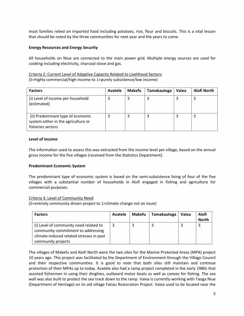
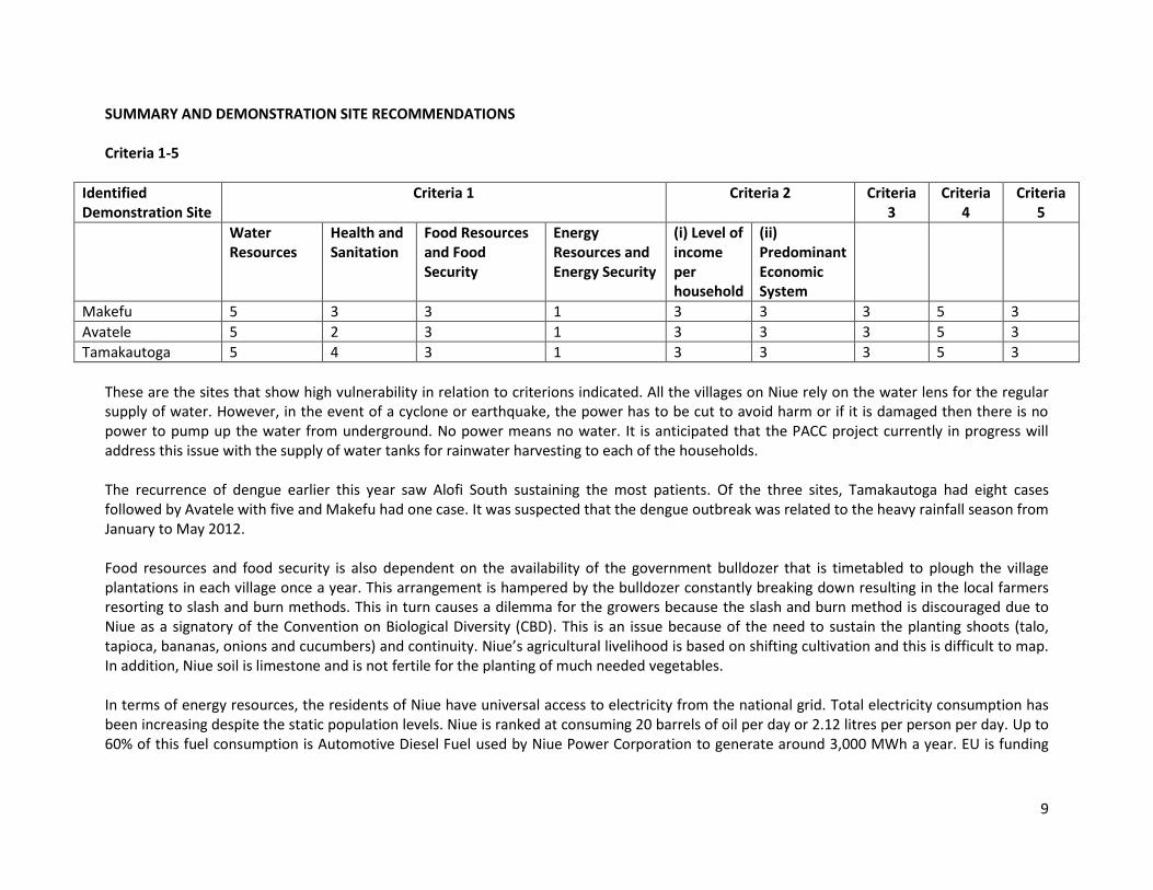
Figure 3 Makefu Community Rapid V & A
9
SUMMARY AND DEMONSTRATION SITE RECOMMENDATIONS Criteria 1-5
Identified Demonstration Site
Criteria 1 Criteria 2 Criteria 3
Criteria 4
Criteria 5
Water Resources
Health and Sanitation
Food Resources and Food Security
Energy Resources and Energy Security
(i) Level of income per household
(ii) Predominant Economic System
Makefu 5 3 3 1 3 3 3 5 3
Avatele 5 2 3 1 3 3 3 5 3
Tamakautoga 5 4 3 1 3 3 3 5 3
These are the sites that show high vulnerability in relation to criterions indicated. All the villages on Niue rely on the water lens for the regular supply of water. However, in the event of a cyclone or earthquake, the power has to be cut to avoid harm or if it is damaged then there is no power to pump up the water from underground. No power means no water. It is anticipated that the PACC project currently in progress will address this issue with the supply of water tanks for rainwater harvesting to each of the households. The recurrence of dengue earlier this year saw Alofi South sustaining the most patients. Of the three sites, Tamakautoga had eight cases followed by Avatele with five and Makefu had one case. It was suspected that the dengue outbreak was related to the heavy rainfall season from January to May 2012. Food resources and food security is also dependent on the availability of the government bulldozer that is timetabled to plough the village plantations in each village once a year. This arrangement is hampered by the bulldozer constantly breaking down resulting in the local farmers resorting to slash and burn methods. This in turn causes a dilemma for the growers because the slash and burn method is discouraged due to Niue as a signatory of the Convention on Biological Diversity (CBD). This is an issue because of the need to sustain the planting shoots (talo, tapioca, bananas, onions and cucumbers) and continuity. Niue’s agricultural livelihood is based on shifting cultivation and this is difficult to map. In addition, Niue soil is limestone and is not fertile for the planting of much needed vegetables. In terms of energy resources, the residents of Niue have universal access to electricity from the national grid. Total electricity consumption has been increasing despite the static population levels. Niue is ranked at consuming 20 barrels of oil per day or 2.12 litres per person per day. Up to 60% of this fuel consumption is Automotive Diesel Fuel used by Niue Power Corporation to generate around 3,000 MWh a year. EU is funding
10
the Renewable Energy and Energy Efficiency project with solar photovoltaic panels located in the main town area to help reduce this reliance on fuel. Additional Criteria
Identified Demonstration Site
Criteria 6 Criteria 7a Criteria 7b
(1) Foreshore Elevation
(2) Village Elevation
(3) Reef System
(4) Mangrove Protection
(5) Average Shoreline Distance
(1) Foreshore Elevation
(2) Village Elevation
(3) Location of River System
(4) Average Distance of River Bank
(5) Ease of Relocation
Makefu 3 3 1 3 N/A 3 3
Avatele 4 3 1 3 N/A 3 3
Tamakautoga 2 3 1 3 N/A 2 3
These are the sites that are located very close to the sea. Sea level rise is a very possible risk therefore it is inevitable that these sites should be considered. Grade 5 Cyclone Heta that struck Niue in 2004, put Makefu and Avatele over the NZ$400,000 estimated damages in values and houses whilst Tamakautoga sustained over $125,000 worth of damages. The Country Risk Profile for Niue (Sep 2011) stated that: ‘Niue is expected to incur, on average, 0.9 million USD per year in losses due to earthquakes and tropical cyclones. In the next 50 years, Niue has a 50% chance of experiencing a loss exceeding 15 million USD and casualties larger than 20 people’. GPS Coordinates for Demonstration Sites
Identified Demonstration Site GPS Readings
Longitude Reading Latitude Reading
Makefu -169°54'40'' -19°0'8.54'
Avatele -169°54'42'.84" - 19°7'36.71"
Tamakautoga -169°55'1.99" -19°6'15.47"
11
CONCLUSION After the rapid assessments of the six potential sites the three sites selected as demonstration sites are: (i) Makefu
(ii) Avatele
(iii) Tamakautoga
The vulnerabilities identified in the demonstration sites include: Demonstration Site 1 Makefu
Demonstration Site 2 Avatele
Demonstration Site 3 Tamakautoga
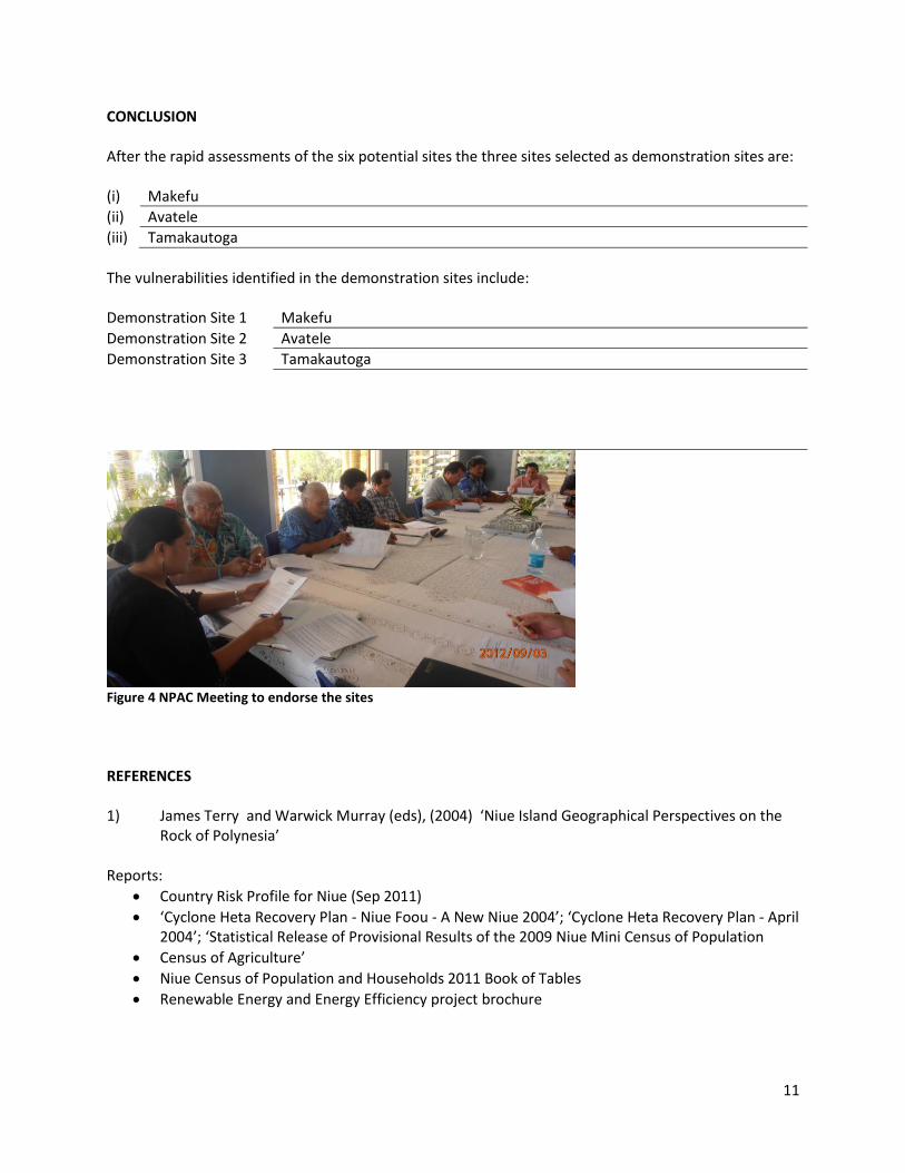
Figure 4 NPAC Meeting to endorse the sites
REFERENCES 1) James Terry and Warwick Murray (eds), (2004) ‘Niue Island Geographical Perspectives on the Rock of Polynesia’ Reports:
Country Risk Profile for Niue (Sep 2011)
‘Cyclone Heta Recovery Plan - Niue Foou - A New Niue 2004’; ‘Cyclone Heta Recovery Plan - April 2004’; ‘Statistical Release of Provisional Results of the 2009 Niue Mini Census of Population
Census of Agriculture’
Niue Census of Population and Households 2011 Book of Tables
Renewable Energy and Energy Efficiency project brochure
12
APPENDIX 1
![TAU TALA NIUE · TAU TALA NIUE November 29th, 2010 In this issue: • Niue Schools launches CRC [Conventions on the Rights of the Child] • Eliminating Violence against Women Workshop](https://img.pdfslide.us/doc/110x75/5f61bbaa9bbd4451155e16e1/tau-tala-tau-tala-niue-november-29th-2010-in-this-issue-a-niue-schools-launches.jpg)