Embed Size (px)
Citation preview
Department of Lands Planning and Housing
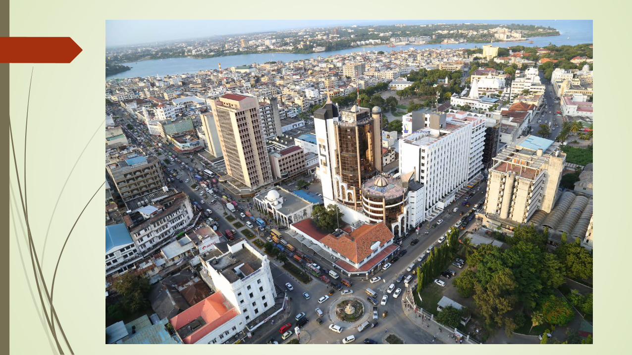
Development Plan of Mombasa City County

Mombasa Gate City Profile
Location and Linkages Located between the latitudes 3° 80´ and 4° 10´ S and longitudes 39° 60´ and 39° 80´ E.
Second largest city in Kenya
Connected with other regions by road, rail, water and air.
A major port and an international airport
Approximately to Nairobi – about 483.0km via road (A109)
Approximate to Dar-es-salaam - about 525.0 km , 7-8 hours via road (A14)
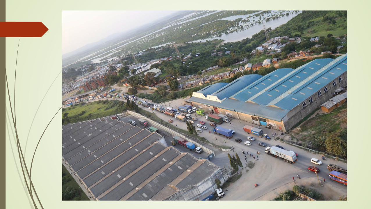
Mombasa County is a port city that serves countries like Uganda, Rwanda, Burundi, Southern Sudan, Eastern DRC, Northern Tanzania, Ethiopia and Somalia, etc.
A well connected port to other parts of the region, with over 33 shipping lines and provides direct connectivity to over 80 ports.

Regional Road Connectivity of Mombasa
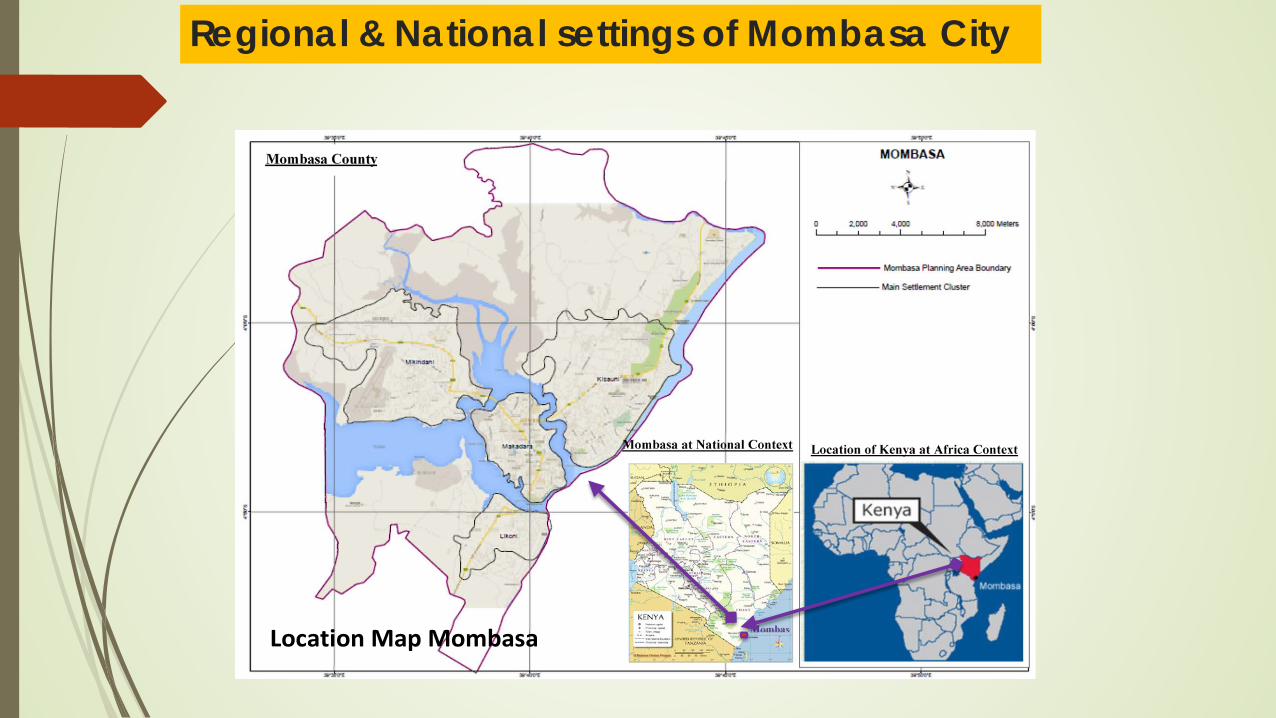
Regional & National settings of Mombasa City
Location and Linkages
Location Map Mombasa
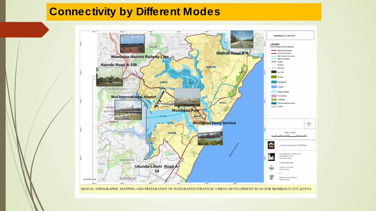
Connectivity by Different Modes
Nairobi Road A-109
Malindi Road B-8
Ukunda-Likoni Road A-14
Moi International Airport
Mombasa-Nairobi Railway Line
Mombasa Ferry service
Mombasa Port

County Government Administrative & Political units
Mombasa County is divided into six sub-counties
Constituency/ Sub-County
No. of Wards Name of Wards Land Area
(km2)
Changamwe 5 Port Reitz, Kipevu, Airport, Miritini, Chaani 18.11
Jomvu 3 Jomvu Kuu, Magongo, Mikindani. 35.02
Kisauni 7 Mjambere, Junda, Bamburi, Mwakirunge, Mtopanga, Magogoni, Shanzu
83.19
Nyali 5 Frere Town, Ziwa La Ng'ombe, Mkomani, Kongowea, Kadzandani. 22.79
Likoni 5 Mtongwe, Shika Adabu, Bofu, Likoni, Timbwani. 50.88
Mvita 5 Mji wa Kale/ Makadara, Tudor, Tononoka and Shimanzi. 14.4
TOTAL 30 224.39

Sub County Administrative Units
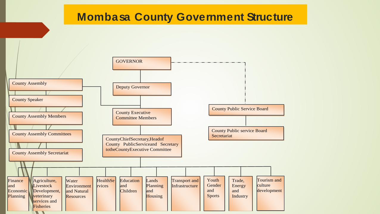
Mombasa County Government Structure
County Executive Committee Members County Assembly Members
County Speaker
County Assembly
County Public Service Board
County Public service Board Secretariat
Finance and EconomicPlanning
Water Environment and Natural Resources
Education and Children
Transport and Infrastructure
Agriculture, Livestock Development, veterinary services and Fisheries
Youth Gender and Sports
HealthServices
Lands Planning and Housing
Trade, Energy and Industry
Tourism and culture development
Deputy Governor
CountyChiefSecretary,Headof County PublicServiceand Secretary totheCountyExecutive Committee
County Assembly Committees
County Assembly Secretariat
GOVERNOR

POPULATION Population Projection
Year Population
High Medium Low 2009 939,370 939,370 939,370 2015 1,199,874 1,155,891 1,154,688 2020 1,476,718 1,373,991 1,302,332 2025 1,861,471 1,633,244 1,447,349 2030 2,440,223 1,941,413 1,599,558 2035 3,150,995 2,307,729 1,757,572
Source: Generated by Consultants

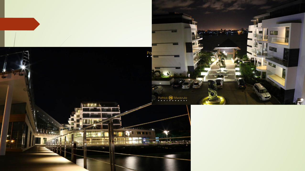
VISION VIBRANT MODERN REGIONAL COMMERCIAL HUB WITH A HIGH STANDARD OF LIVING FOR ITS RESIDENTS
OPPORTUNITIES STRATEGIC LOCATION/POSITION Gate way to the Far East and Europe Gate way to East Africa and the Great Lakes Region Gate way to the rest of Kenya Rich cultural heritage Conducive weather Fine beaches Indian ocean

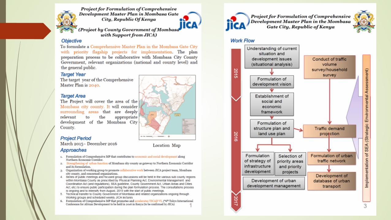
Mombasa Gateway City Master Plan & Northern Corridor Master Plan
Along range plan – 2015 – 2045 Prepared in conjunction with JICA To consolidated all the development efforts of the
county Government including the SEZ and the port development and its expansion
Ensure harmonious development including the vision 2030 projects

Initiatives to realize the SEZ
Modernizing and expansion of Mombasa port to a World class free port

Construction of Dongo Kundu bypass Development of the and the Northern by-pass

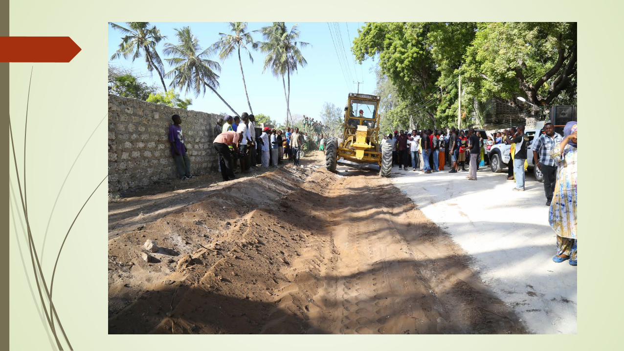
Modernising of transport infrastructure
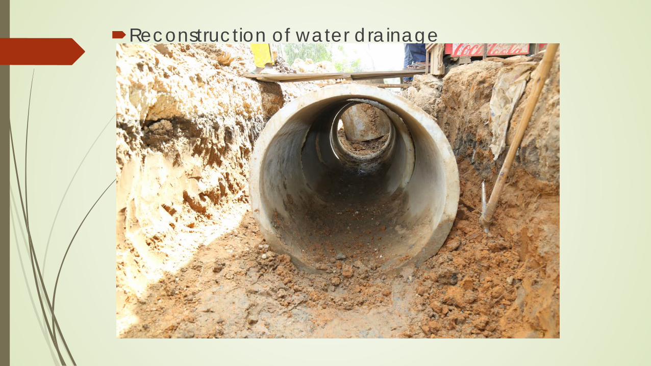
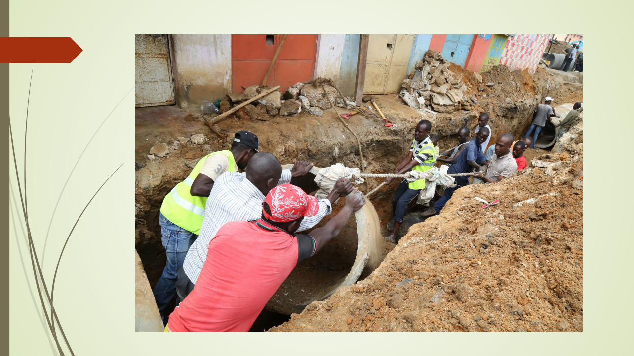
Reconstruction of water drainage
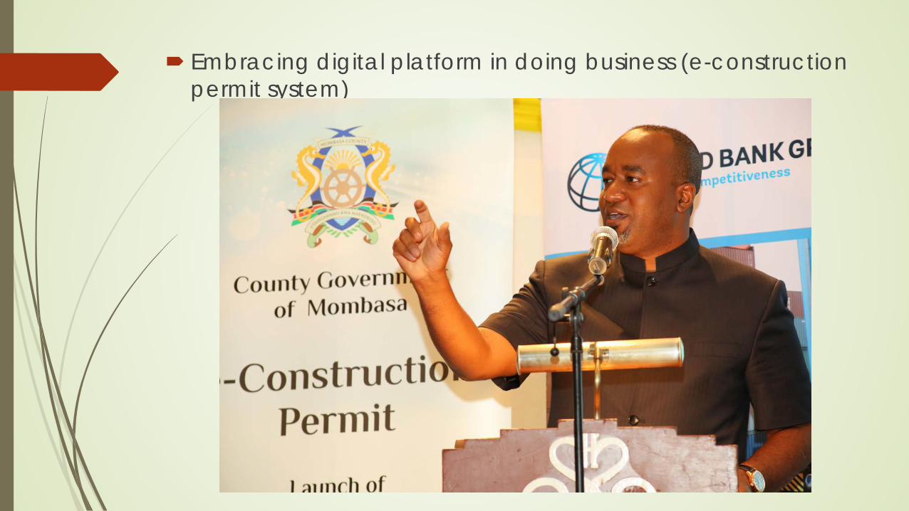
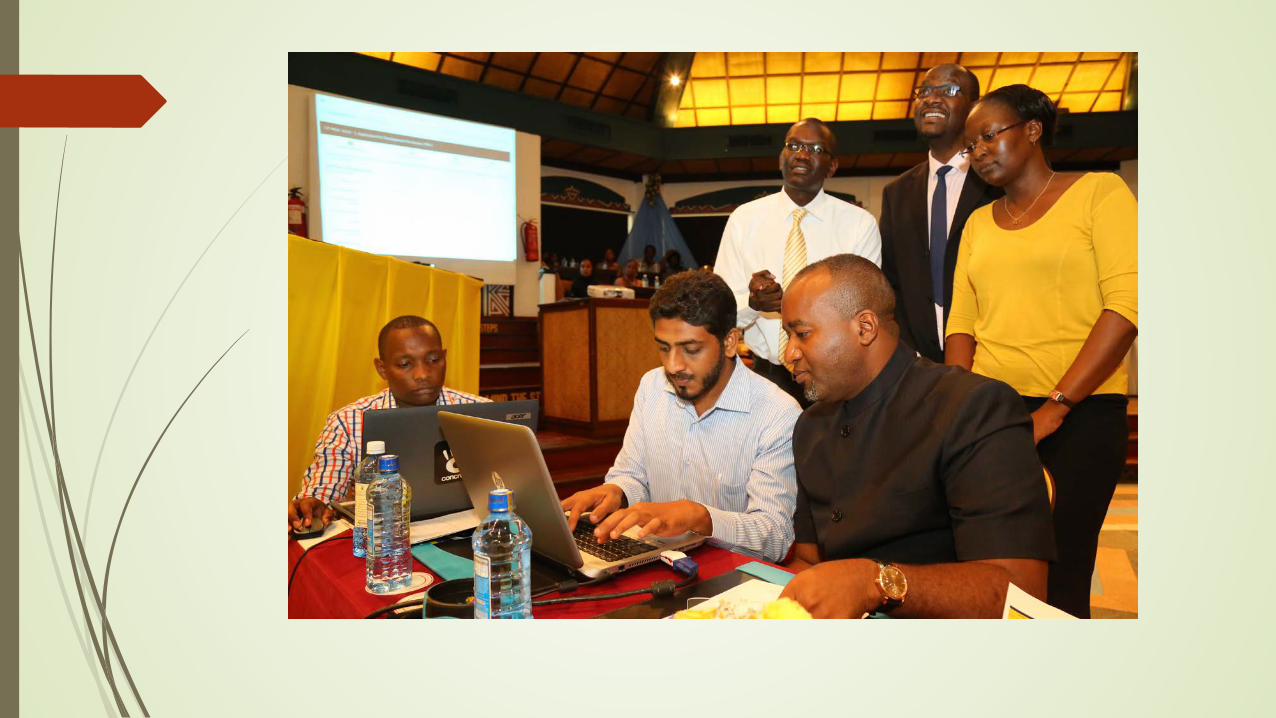
Embracing digital platform in doing business (e-construction permit system)
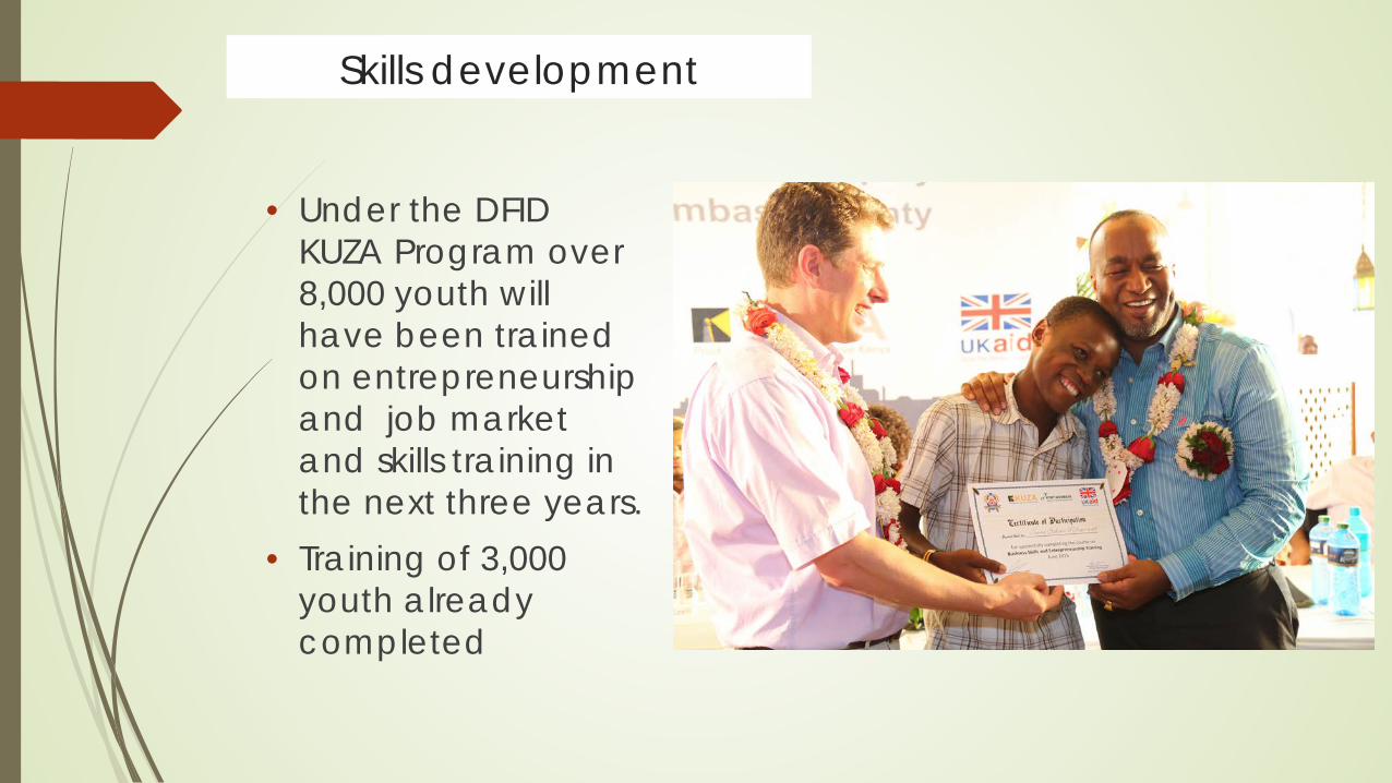
Skills development
EMPOWERING YOUTH
• Under the DFID KUZA Program over 8,000 youth will have been trained on entrepreneurship and job market and skills training in the next three years.
• Training of 3,000 youth already completed
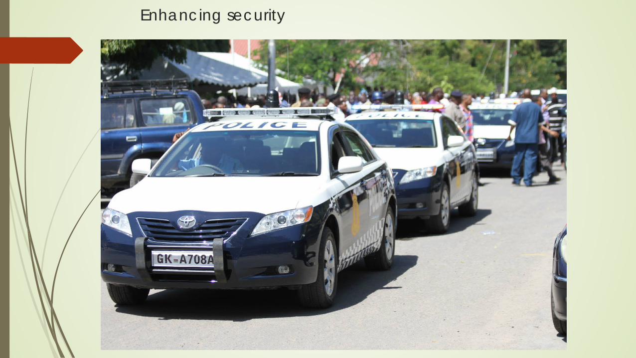
Enhancing security
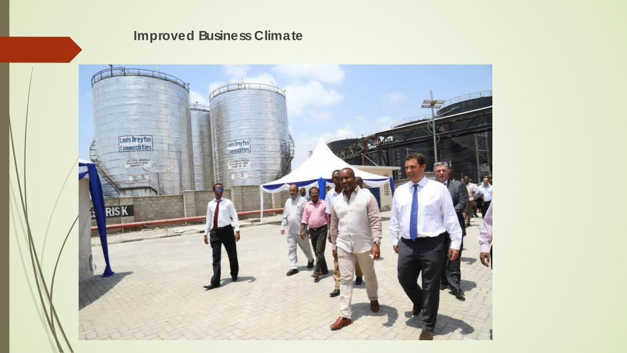
Improved Business Climate

Possible areas of investment
Tourism Infrastructure development through PPP Industrial – Special Economic Zone Housing development

ENERGY
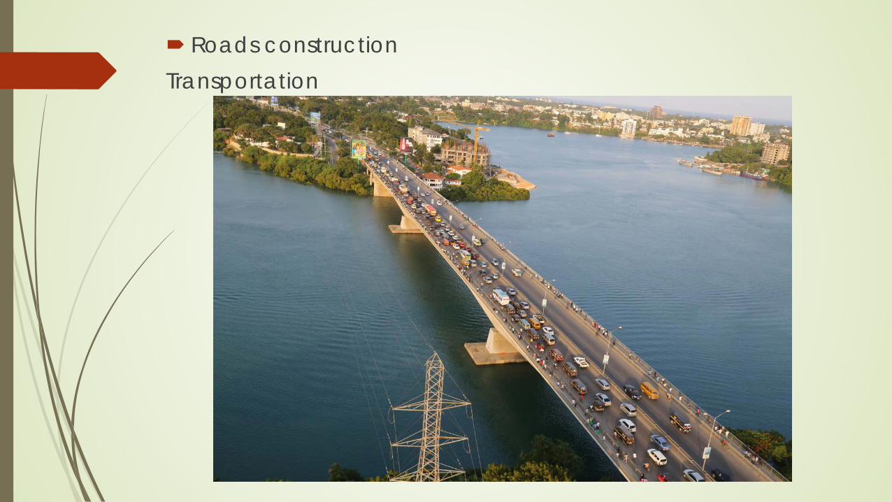
Roads construction Transportation

Commerce and Trade

Housing development
Thank you very much for listening Karibuni Mombasa