Embed Size (px)
Citation preview
1/26/2016
1
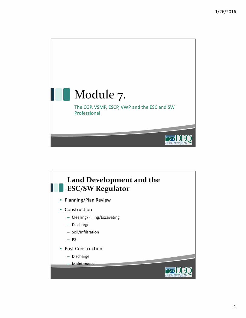
Module 7.The CGP, VSMP, ESCP, VWP and the ESC and SWProfessional
Land Development and theESC/SW Regulator
• Planning/Plan Review
• Construction
– Clearing/Filling/Excavating
– Discharge
– Soil/Infiltration
– P2
• Post Construction
– Discharge
– Maintenance
1/26/2016
2
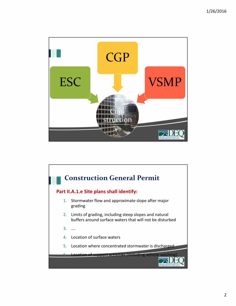
Con-struction
ESC
CGP
VSMP
Construction General Permit
Part II.A.1.e Site plans shall identify:
1. Stormwater flow and approximate slope after majorgrading
2. Limits of grading, including steep slopes and naturalbuffers around surface waters that will not be disturbed
3. ….
4. Location of surface waters
5. Location where concentrated stormwater is discharged
6. Location of support activities (including vehicle washing)
1/26/2016
3
Construction General Permit
Part II.A.2.c Site plans shall:
6. Provide and maintain natural buffers around surfacewaters …
Part II.B.4 SWPPP Amendments, modification andupdates:
e. The date of any prohibited discharges, the discharge
volume released, and what actions were taken tominimize the impact of the release;
f. Measures taken to prevent the reoccurrence of anyprohibited discharge;
Construction General Permit
Part II.F.3. SWPPP Inspections
(2) Record keeping of discharges
(3) Record keeping of unauthorized land disturbance
(7) Inspect for ESC plan implementation, including discharge
to surface water (c)
(10) Identify and document discharge of prohibited pollutants
Part II.F.4. SWPPP Inspection Reports
c. The location(s) of prohibited discharges
1/26/2016
4
Construction General Permit
PartII.G. Corrective Actions:
2. The operator may be required to remove accumulatedsediment deposits located outside of the constructionactivity covered by this general permit as soon aspracticable in order to minimize environmental impacts.The operator shall notify the VSMP authority and thedepartment as well as obtain all applicable federal, state,and local authorizations, approvals, and permits prior tothe removal of sediments accumulated in surface watersincluding wetlands.
Wetlands, Streams and Site Plans
All Permitted Impact Areas:
– Shown on plan
Temporary Impact Areas:
– Minimize clearing and disturbance
– Stabilized immediately
– Use mats to minimize compaction
– Reseed
1/26/2016
5
Wetlands, Streams and Site Plans
Wetlands/Natural Resources Adjacent to Construction
Site:
– Maintain vegetated buffer
– Adequate ESC controls (i.e., no silt fence across
concentrated flow)
– Control concentrated flows
– Construction sequence
Wetlands, Streams and Site Plans
Don't forget support sites (areas outside the impact
area):
– Construction access
– Laydown areas
– Stockpiles
– Borrow sites
– Launch area
– Storage yards
1/26/2016
6
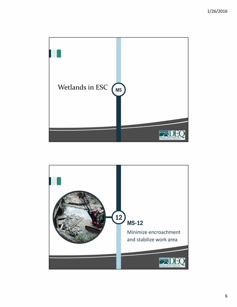
MSWetlands in ESC
MS-1212
Minimize encroachment
and stabilize work area
1/26/2016
7
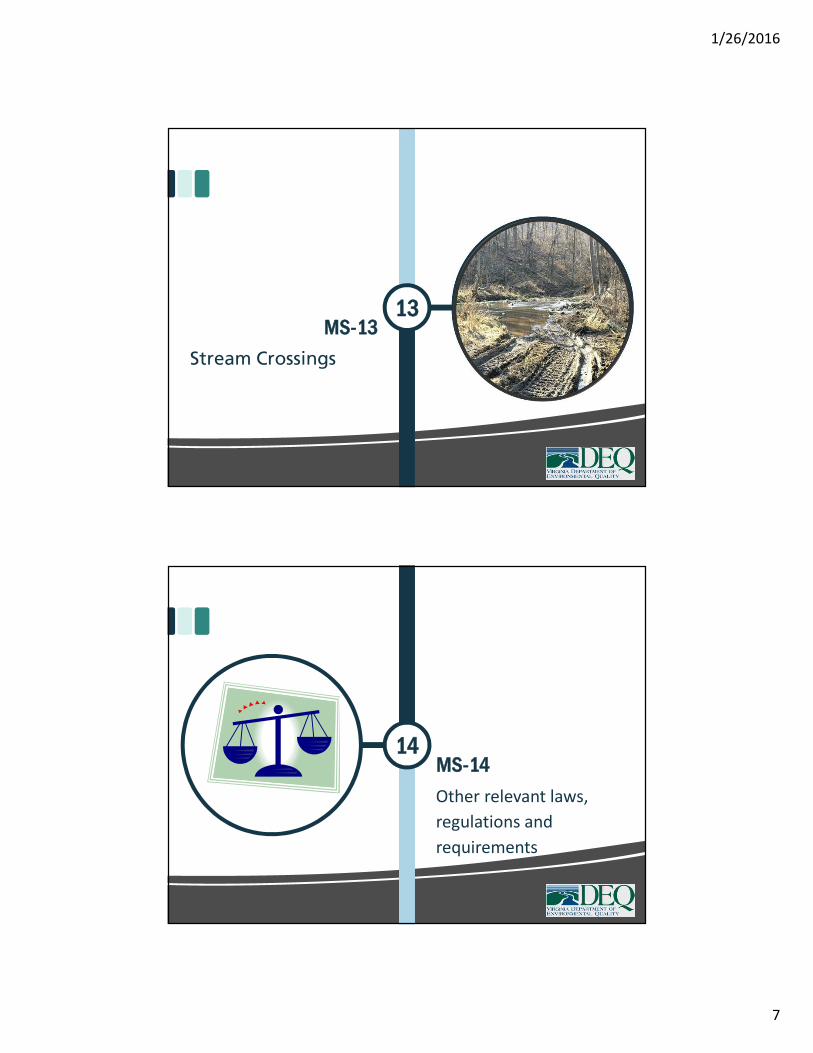
MS-1313
Stream Crossings
MS-1414
Other relevant laws,
regulations and
requirements
1/26/2016
8
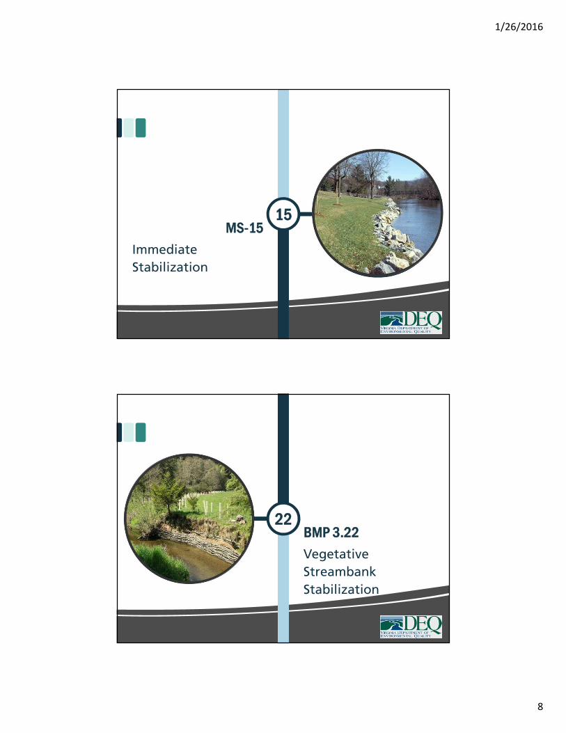
MS-1515
Immediate
Stabilization
22BMP 3.22
Vegetative
Streambank
Stabilization
1/26/2016
9
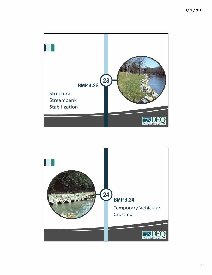
BMP 3.2323
Structural
Streambank
Stabilization
24BMP 3.24
Temporary Vehicular
Crossing
1/26/2016
10
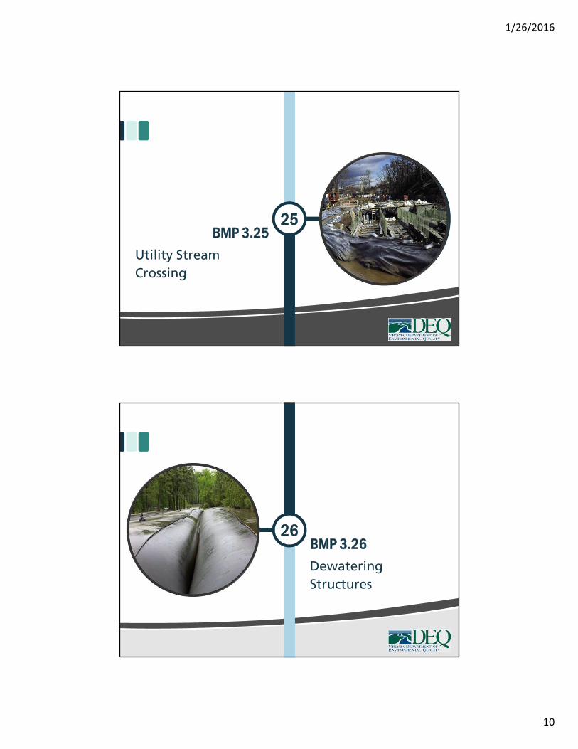
BMP 3.2525
Utility Stream
Crossing
26BMP 3.26
Dewatering
Structures
1/26/2016
11
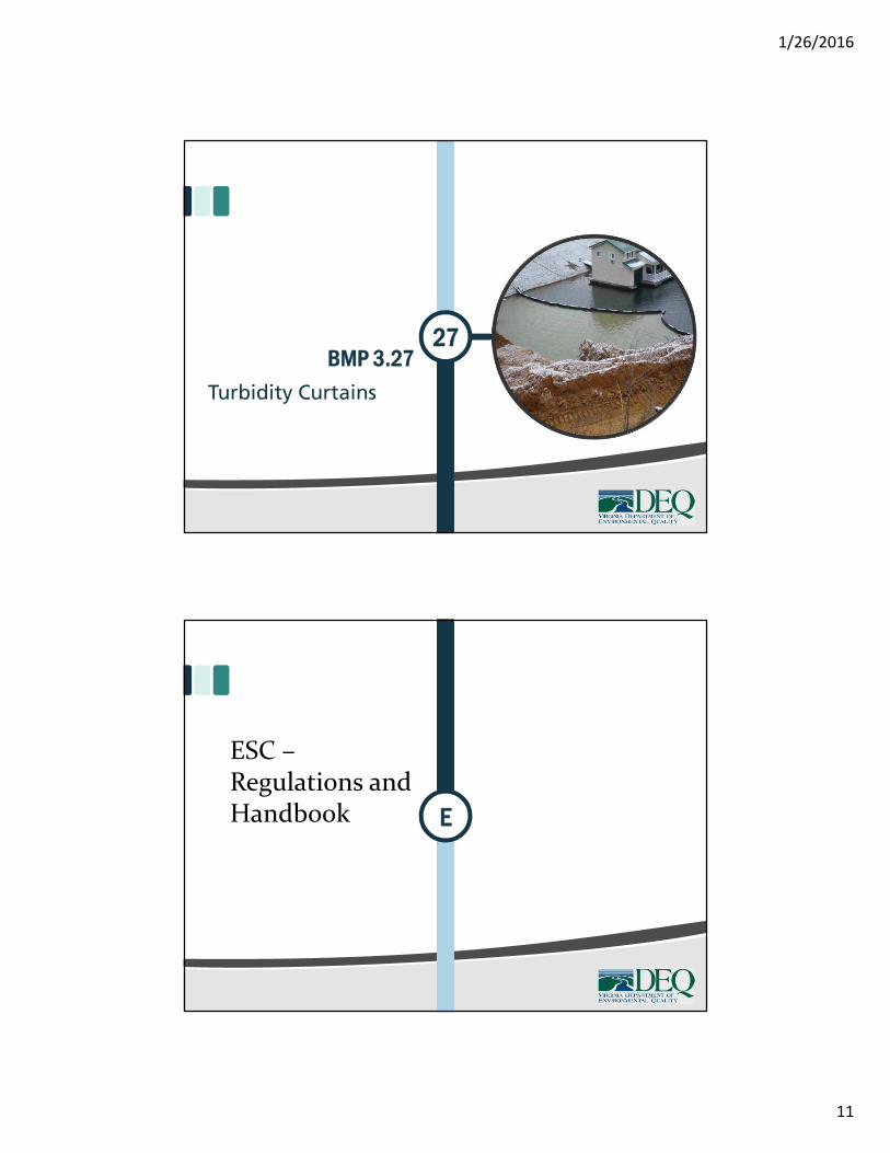
BMP 3.2727
Turbidity Curtains
E
ESC –Regulations andHandbook
1/26/2016
12
Module 7aPlan Reviewers (and Inspectors)
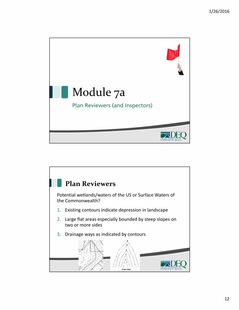
Plan Reviewers
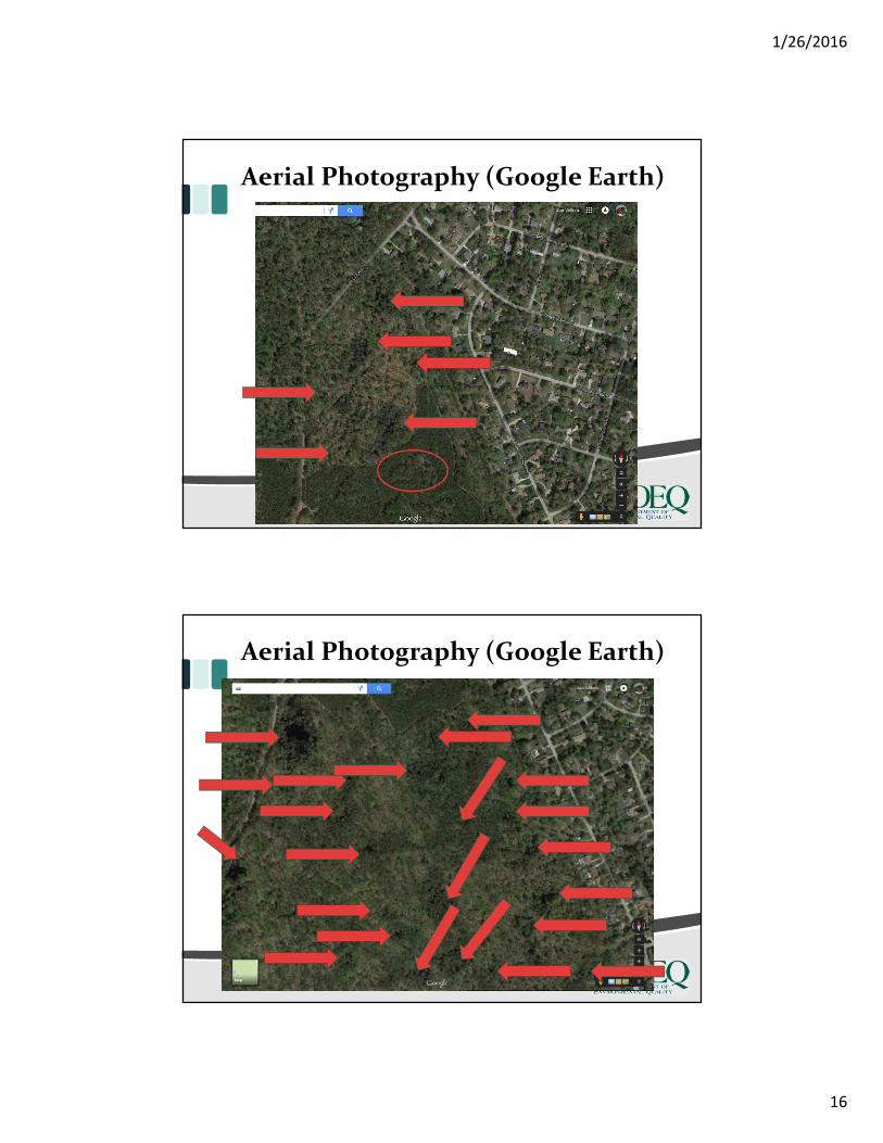
Potential wetlands/waters of the US or Surface Waters ofthe Commonwealth?
1. Existing contours indicate depression in landscape
2. Large flat areas especially bounded by steep slopes ontwo or more sides
3. Drainage ways as indicated by contours
1/26/2016
13
Plan Reviewers
Potential wetlands/waters of the US or Commonwealth?
1. Existing contours indicate depression in landscape
2. Large flat areas especially bounded by steep slopes
on two or more sides
3. Drainage ways as indicated by contours
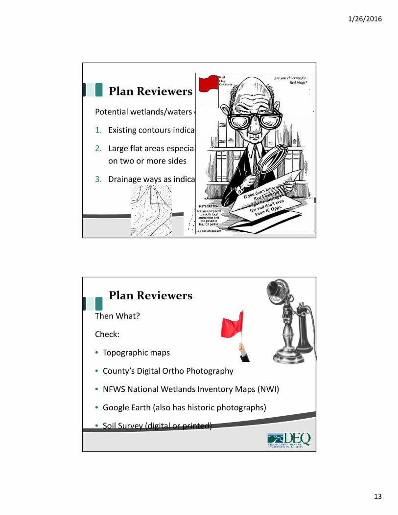
Plan Reviewers
Then What?
Check:
• Topographic maps
• County’s Digital Ortho Photography
• NFWS National Wetlands Inventory Maps (NWI)
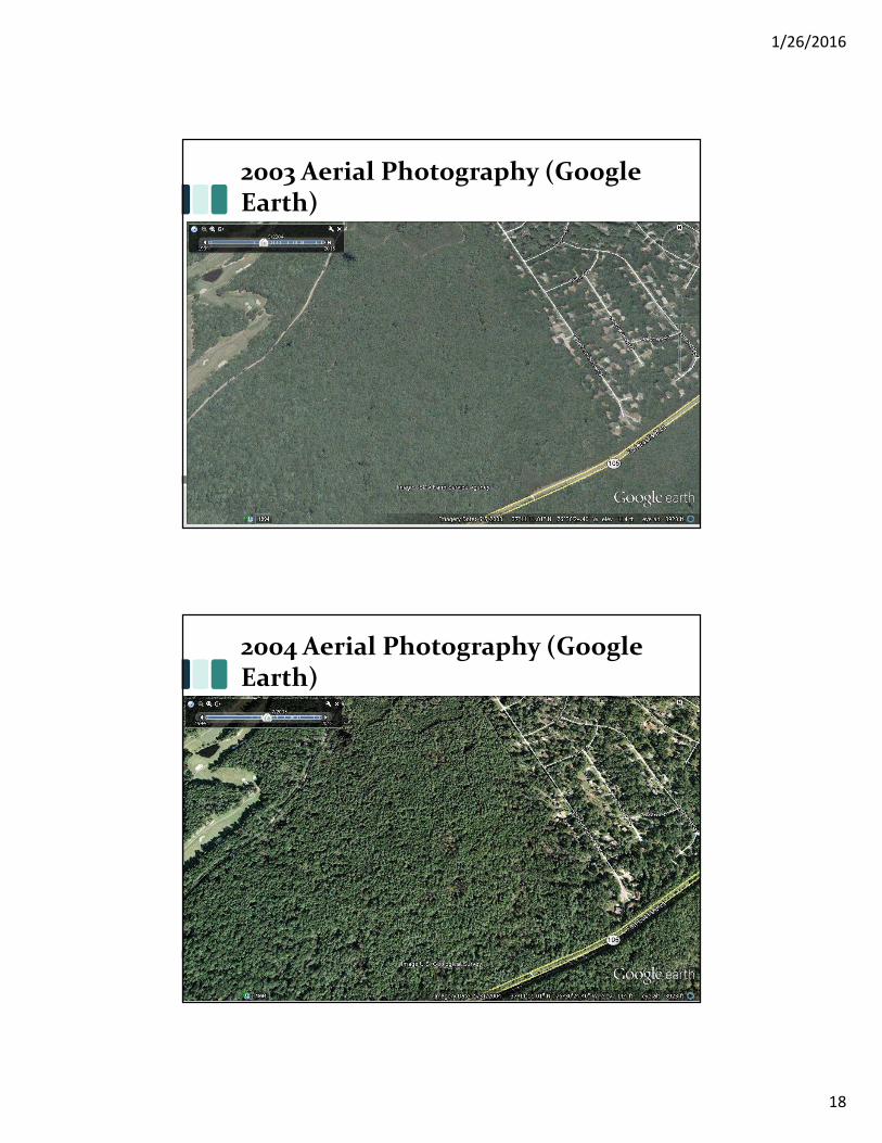
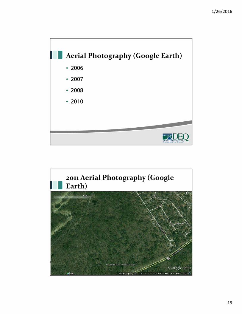
• Google Earth (also has historic photographs)
• Soil Survey (digital or printed)
1/26/2016
14
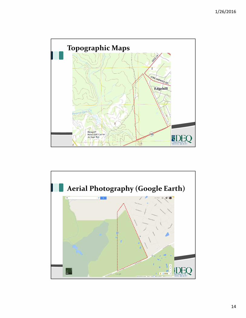
Topographic Maps
Aerial Photography (Google Earth)
1/26/2016
15
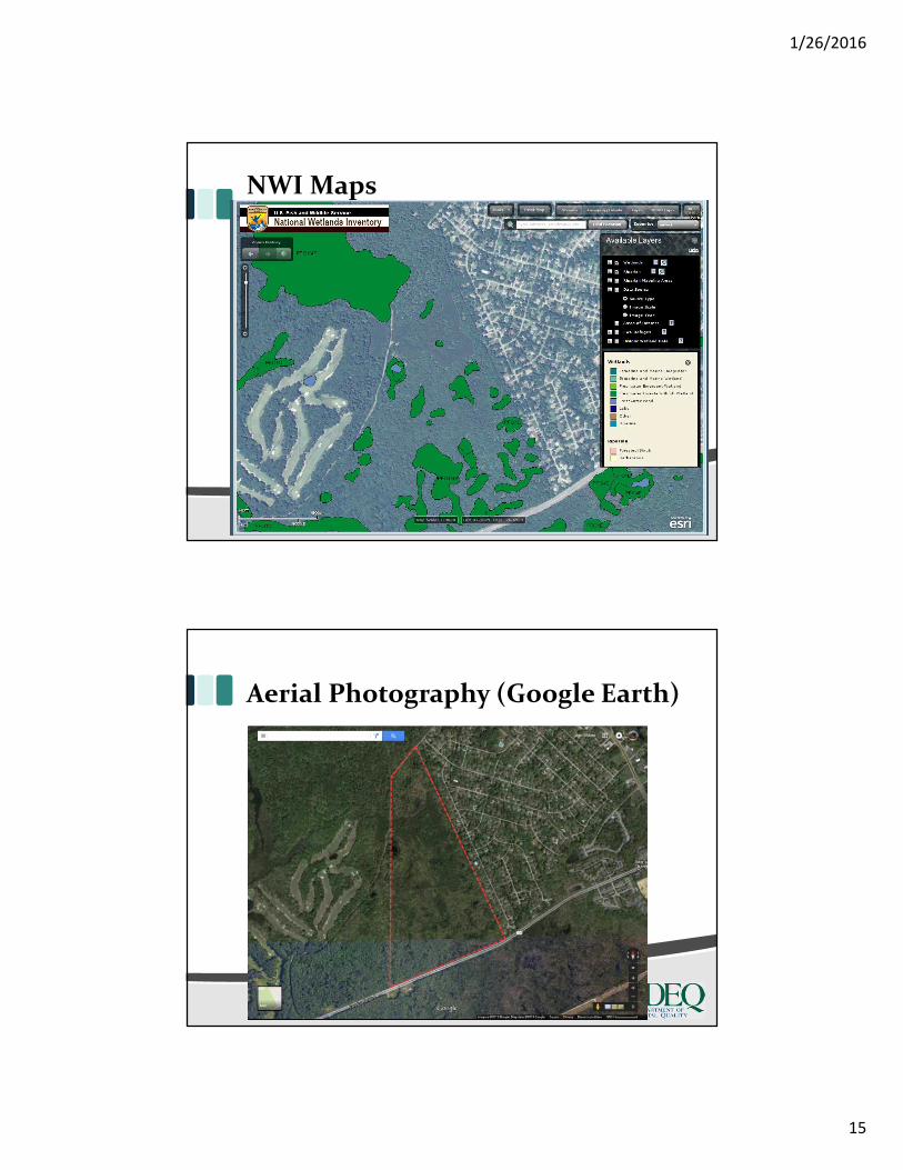
NWI Maps
Aerial Photography (Google Earth)
1/26/2016
16
Aerial Photography (Google Earth)
Aerial Photography (Google Earth)
1/26/2016
17
1994 Aerial Photography (GoogleEarth)
2002 Aerial Photography (GoogleEarth)
1/26/2016
18
2003 Aerial Photography (GoogleEarth)
2004 Aerial Photography (GoogleEarth)
1/26/2016
19
Aerial Photography (Google Earth)
• 2006
• 2007
• 2008
• 2010
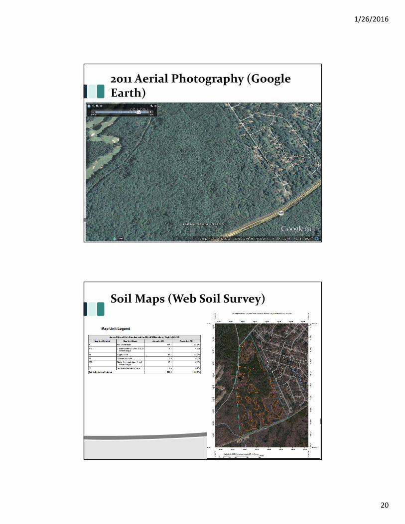
2011 Aerial Photography (GoogleEarth)
1/26/2016
20
2011 Aerial Photography (GoogleEarth)
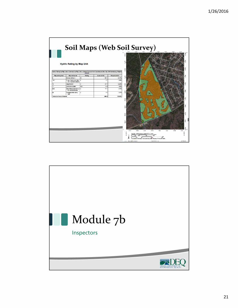
Soil Maps (Web Soil Survey)
1/26/2016
21
Soil Maps (Web Soil Survey)
Module 7bInspectors
1/26/2016
22
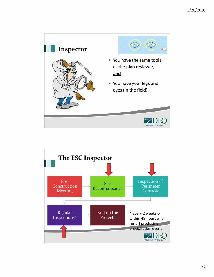
Inspector
• You have the same tools
as the plan reviewer,
and
• You have your legs and
eyes (in the field)!
The ESC Inspector
Pre-Construction
Meeting
SiteReconnaissance
Inspection ofPerimeterControls
RegularInspections*
End on theProjects
* Every 2 weeks orwithin 48 hours of arunoff producingprecipitation event
1/26/2016
23
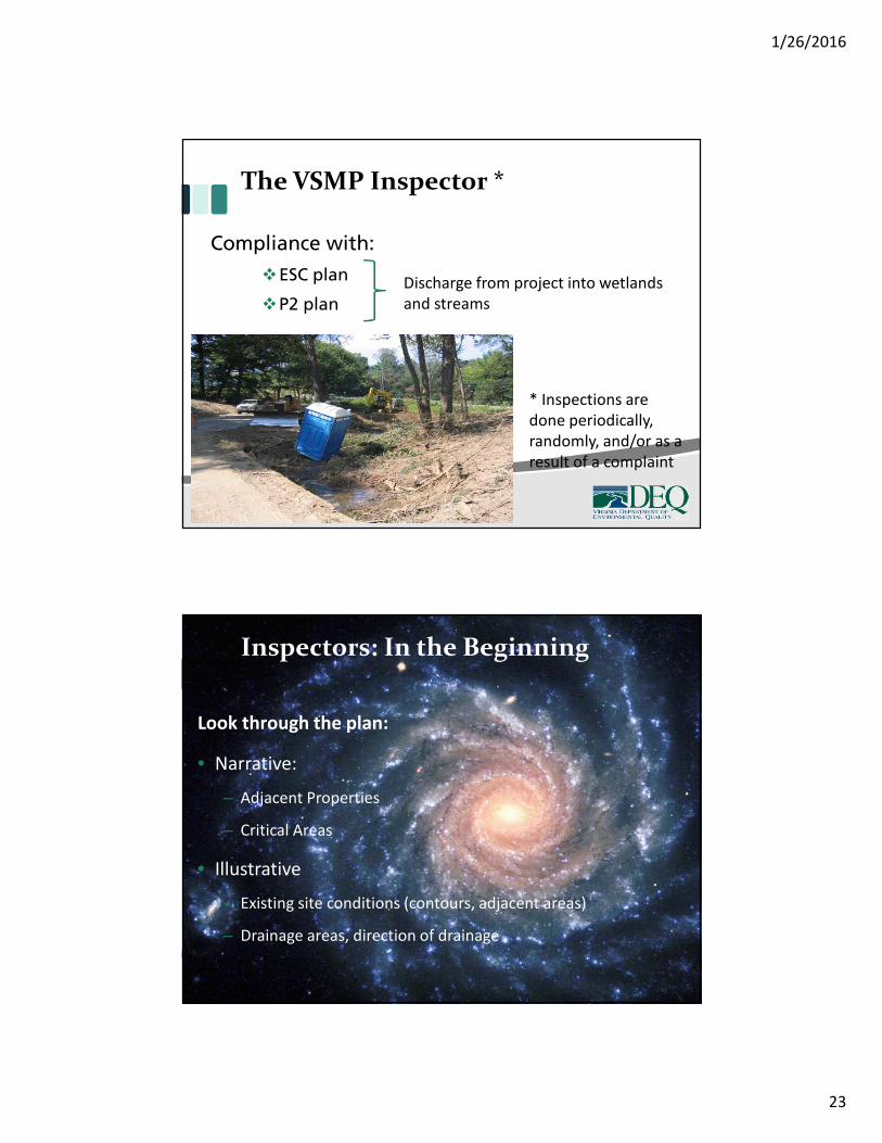
The VSMP Inspector *
Compliance with:
ESC plan
P2 plan
* Inspections aredone periodically,randomly, and/or as aresult of a complaint
Discharge from project into wetlandsand streams
Look through the plan:
• Narrative:
– Adjacent Properties
– Critical Areas
• Illustrative
– Existing site conditions (contours, adjacent areas)
– Drainage areas, direction of drainage
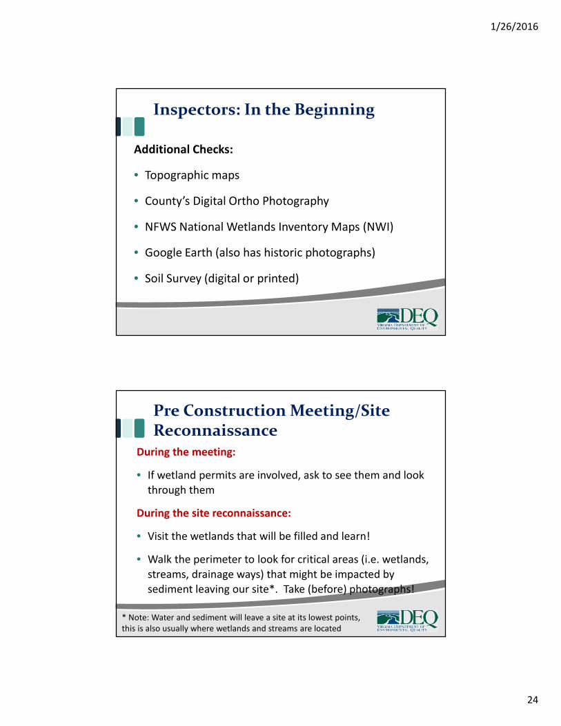
Inspectors: In the Beginning
1/26/2016
24
Inspectors: In the Beginning
Additional Checks:
• Topographic maps
• County’s Digital Ortho Photography
• NFWS National Wetlands Inventory Maps (NWI)
• Google Earth (also has historic photographs)
• Soil Survey (digital or printed)
Pre Construction Meeting/SiteReconnaissance
During the meeting:
• If wetland permits are involved, ask to see them and look
through them
During the site reconnaissance:
• Visit the wetlands that will be filled and learn!
• Walk the perimeter to look for critical areas (i.e. wetlands,
streams, drainage ways) that might be impacted by
sediment leaving our site*. Take (before) photographs!
* Note: Water and sediment will leave a site at its lowest points,this is also usually where wetlands and streams are located
1/26/2016
25
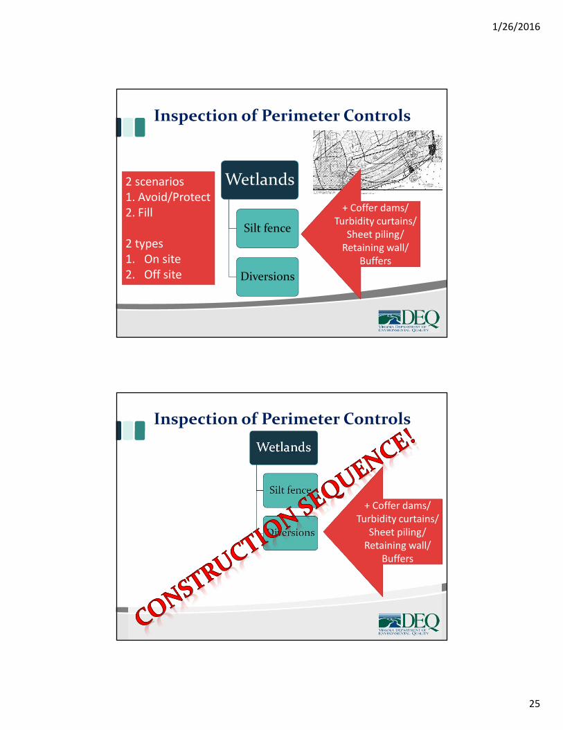
Inspection of Perimeter Controls
Wetlands
Silt fence
Diversions
+ Coffer dams/Turbidity curtains/
Sheet piling/Retaining wall/
Buffers
2 scenarios1. Avoid/Protect2. Fill
2 types1. On site2. Off site
Wetlands
Silt fence
Diversions
Inspection of Perimeter Controls
+ Coffer dams/Turbidity curtains/
Sheet piling/Retaining wall/
Buffers
1/26/2016
26
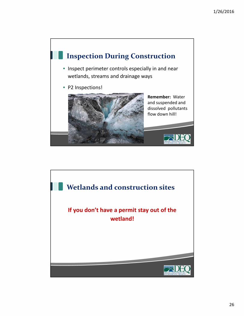
Inspection During Construction
• Inspect perimeter controls especially in and near
wetlands, streams and drainage ways
• P2 Inspections!
Remember: Waterand suspended anddissolved pollutantsflow down hill!
Wetlands and construction sites
If you don’t have a permit stay out of the
wetland!
1/26/2016
27
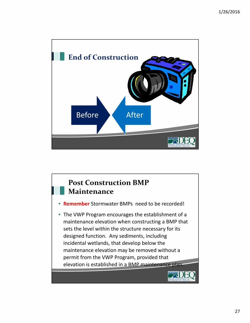
End of Construction
Before After
Post Construction BMPMaintenance
• Remember Stormwater BMPs need to be recorded!
• The VWP Program encourages the establishment of amaintenance elevation when constructing a BMP thatsets the level within the structure necessary for itsdesigned function. Any sediments, includingincidental wetlands, that develop below themaintenance elevation may be removed without apermit from the VWP Program, provided thatelevation is established in a BMP maintenance plan.

1/26/2016
28
Questions?