Embed Size (px)
DESCRIPTION
Catalogo
Citation preview
Your GIS Accuracy Enabler
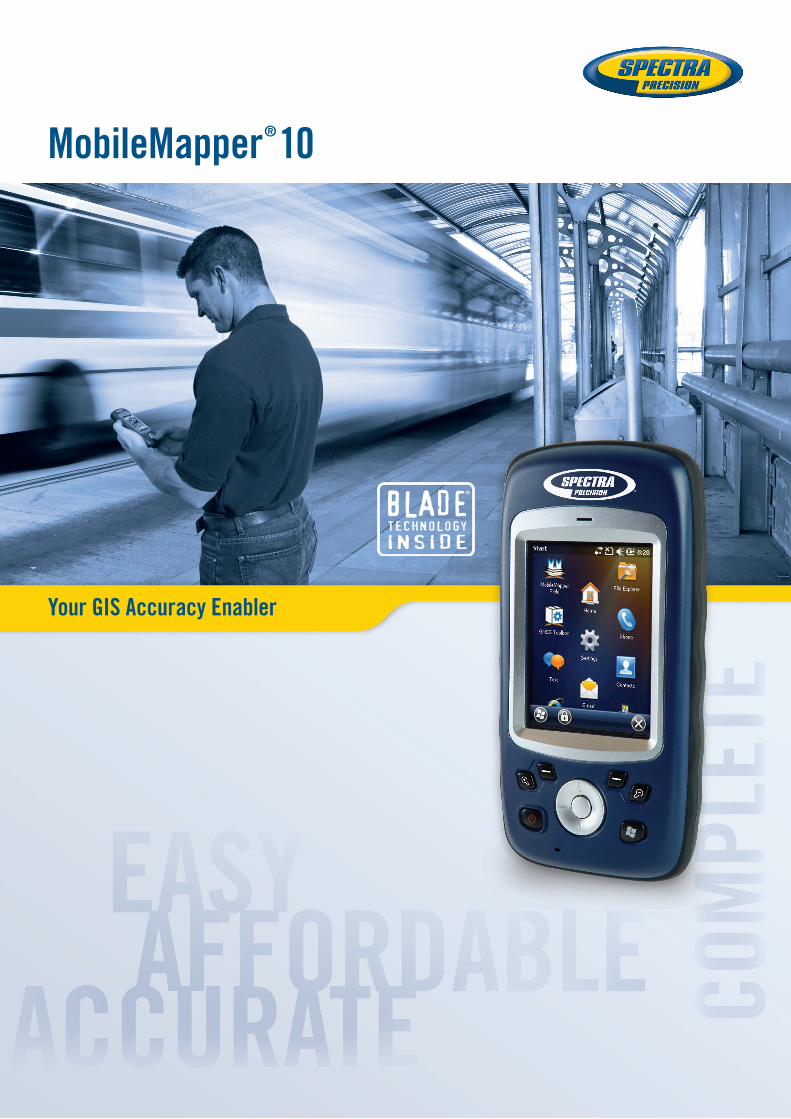
MobileMapper® 10

Mob
ileM
appe
r 10 MobileMapper 10
Geographical Information Systems and Location Based Services are strongly penetrating a wide range of applications and organizations. The growing need for geo-localization is naturally boosting the demand for efficient and affordable data collection solutions. Spectra Precision is leading the GNSS democratization to enable a wider access to professional mapping. Today with MobileMapper 10, Spectra Precision makes it possible to massively deploy a professional accurate GIS receiver to any field work force.
Compact and lightweight, MobileMapper 10 is a complete, easy to use mapping solution for real-time collection of meter accurate data.
With MobileMapper 10, organizations will improve the quality of their geo-referenced information and their productivity with direct positive impact on operational costs.
Boost Your Mapping Productivity■■ Log your assets in real-time with
meter accuracy■■ Connect field and office work force for
maximum proactivity■■ Reach sub-half meter accuracy with
post-processing
Unpack and Start Logging■■ Ready to use complete mapping
solution for field and office■■ User friendly Windows® Mobile 6.5■■ Easy-to-use software for short learning
curve and quick logging operations
Made For Mobile GIS Work Force■■ Compact & lightweight design for
optimal mobility, use and comfort ■■ Integrated communications for
easy data transfer ■■ Only receiver offering several days
of battery life■■ Ruggedized for outdoor use
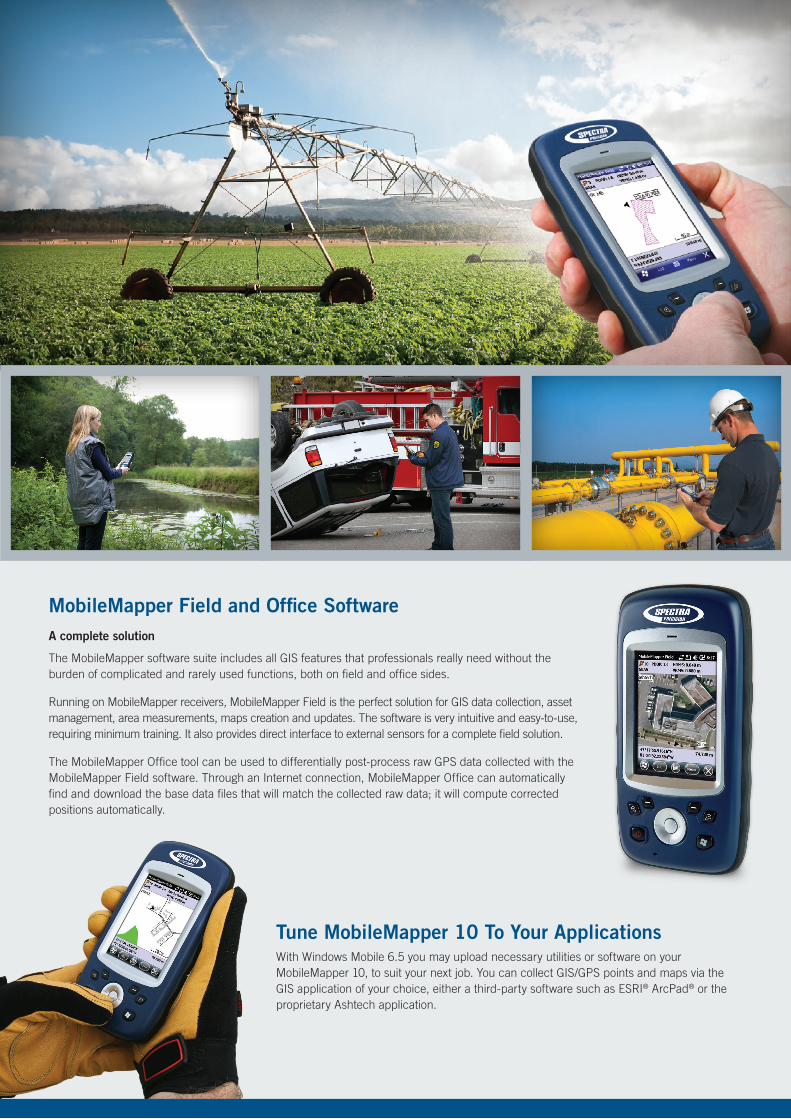
MobileMapper Field and Office Software A complete solution
The MobileMapper software suite includes all GIS features that professionals really need without the burden of complicated and rarely used functions, both on field and office sides.
Running on MobileMapper receivers, MobileMapper Field is the perfect solution for GIS data collection, asset management, area measurements, maps creation and updates. The software is very intuitive and easy-to-use, requiring minimum training. It also provides direct interface to external sensors for a complete field solution.
The MobileMapper Office tool can be used to differentially post-process raw GPS data collected with the MobileMapper Field software. Through an Internet connection, MobileMapper Office can automatically find and download the base data files that will match the collected raw data; it will compute corrected positions automatically.
Tune MobileMapper 10 To Your ApplicationsWith Windows Mobile 6.5 you may upload necessary utilities or software on your MobileMapper 10, to suit your next job. You can collect GIS/GPS points and maps via the GIS application of your choice, either a third-party software such as ESRI® ArcPad® or the proprietary Ashtech application.
GNSS Characteristics■■ Internal antenna: 20 channels
- GPS L1 C/A- SBAS: WAAS/EGNOS/MSAS
■■ External antenna connector■■ NMEA output
Accuracy Specifications (Horizontal RMS)1■■ Real-time SBAS: < 2 m typical ■■ Post-processed: < 50 cm typical
Processor■■ ARM9™
■■ Clock frequency: 600 MHz
Operating System■■ Microsoft® Windows Mobile 6.5■■ Languages available: English, French,
German, Italian, Japanese, Korean, Portuguese, Spanish, Simplified & Traditional Chinese2
■■ Software package includes:- Internet Explorer®
- Office Mobile- ActiveSync®
- Transcriber (handwriting recognition)
CommunicationsCellular■■ Built in GSM/GPRS■■ Quad band 850/900MHz, 1800/1900 MHz
Bluetooth■■ Bluetooth 2.1 with EDR
WiFi■■ Integrated
Interface■■ USB
Physical CharacteristicsSize■■ 169x88x25 mm
Weight■■ 380g with battery (310g without)
User InterfaceKeyboard■■ 4-way navigation, menu, contextual keys■■ Illuminated keyboard with touch screen■■ Virtual keyboard
Display■■ Color TFT High resolution display sunlight
readable with touch screen, LED backlight.■■ Size: 3.5”■■ Colours: 262k
Memory■■ 128 MB SDRAM■■ Storage: 256 MB NAND Flash (non volatile)■■ MicroSDHC™ memory card (up to 8GB,
SanDisk®, Kingston® recommended)
Environmental Characteristics■■ Operating temperature:
-10° to +60°C (14 to 140°F)■■ Storage temperature:
-30° to +70°C without battery (-13 to 158°F)■■ Humidity: 95% non condensing■■ Waterproof: IP54■■ Free drop: 1.2 m on concrete
Power Characteristics■■ Battery life: > 20 hrs @ 20 ºC with GPS on3 ■■ Charging time: 4 hours■■ Removable battery
Multimedia & Sensors ■■ Camera 3M Pixels■■ E-Compass■■ G-Sensor■■ Speaker■■ Microphone
Software Options■■ MobileMapper Field and Office software■■ Post-processing ■■ ESRI ArcPad software bundle (USA only)
Standard Accessories■■ Stylus■■ Hand-strap■■ A/C charger■■ USB cable
Optional Accessories:■■ External magnetic GPS antenna■■ Pole bracket
1 Handheld accuracy performance achieved in good conditions (open sky) with PDOP <3 and more than seven satellites in view.
2 To be specified when ordering – no further OS language modification is possible.
3 GPS on, no Bluetooth or WiFi are used, backlight used 20% of the time at minimal settings.
* Including available options.
MobileMapper 10 Technical Specifications*
SCAN THIS CODE FOR MORE
INFORMATION
Please visit www.spectraprecision.com or www.ashtech.com for the latest product information. and to locate your nearest distributor.
©2012 Trimble Navigation Limited. All rights reserved. Spectra Precision is a Division of Trimble Navigation Limited. Spectra Precision and the Spectra Precision logo are trademarks of Trimble Navigation Limited or its subsidiaries. Ashtech, the Ashtech logo, Z-Blade and ProMark are trademarks of Ashtech S.A.S. or its subsidiaries. All other trademarks are the property of their respective owners. (07/09)
Contact Information:AMERICAS
Spectra Precision Division 10355 Westmoor Drive, Suite #100Westminster, CO 80021, USA+1-720-587-4700 Phone888-477-7516 (Toll Free in USA)
EUROPE, MIDDLE EAST, AFRICA
Spectra Precision DivisionRue Thomas EdisonZAC de la Fleuriaye - BP 6043344474 Carquefou (Nantes), France+33 (0)2 28 09 38 00 Phone
ASIA-PACIFIC
Spectra Precision Division80 Marine Parade Road#22-06, Parkway ParadeSingapore 449269, Singapore+65-6348-2212 Phone