Embed Size (px)
Citation preview
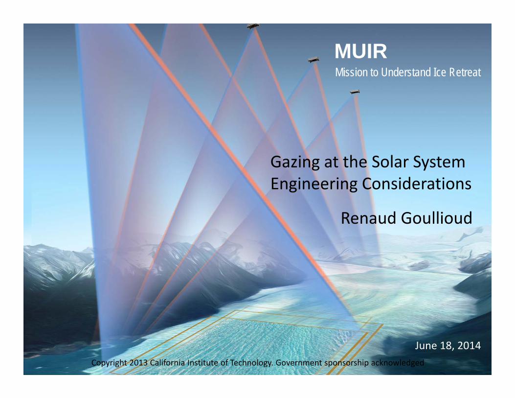
MUIRMission to Understand Ice Retreat
June 18, 2014
Gazing at the Solar SystemEngineering Considerations
Renaud Goullioud
Copyright 2013 California Institute of Technology. Government sponsorship acknowledged
Topics
Randomly:• Earth Venture proposal experience.• The requirement flow‐down.• The Science Traceability Metrics.• Understanding the limitations.• Next steps.
Introduction
• The Mission to Understand Ice Retreat proposal was developed by Andrea’s team for the Earth Venture Instrument 2 call.
• The Proposal was not submitted because we were not ready for this call.
• Next two calls in the 12‐18 months time frame.• This is a competitive call, only the best proposal (in all aspects) is going to be selected.
• We were not ready in many aspects.
Science case• What fraction of glacier mass loss is driven by solar radiation?• Determine how albedo drives ice loss• MUIR simultaneously measures mass change and albedo
• The science case was initially well received• Is it strong enough in light of the competition?• Free telescope time can be used for additional science, how to get credit for that without making the story to confusing.
Science Requirements• Compelling science requirements is not sufficient.• Need to convert science case into hypothesis and model.• Define what parameters need to be determined through the
science mission.• Quantify how well you need to measure the experimental
parameters to meet your science objectives.• The cleaner the objective‐>experimental measurement story,
the stronger the proposal. • A model of the science experiment or even better
experimental results from a similar (flight/airborne) experiment are key to build the case.
• Ideally, we can generate key sensitivity for driving requirements: volume error vs vertical resolution,…
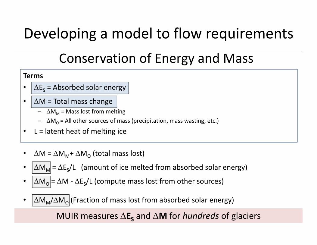
Developing a model to flow requirements
Terms• ES = Absorbed solar energy
• M = Total mass change– MM = Mass lost from melting– MO = All other sources of mass (precipitation, mass wasting, etc.)
• L = latent heat of melting ice
MUIR measures ES and M for hundreds of glaciers
• M = MM+ MO (total mass lost)
• MM = ES/L (amount of ice melted from absorbed solar energy)
• MO = M ‐ ES/L (compute mass lost from other sources)
• MM/MO (Fraction of mass lost from absorbed solar energy)
Conservation of Energy and Mass
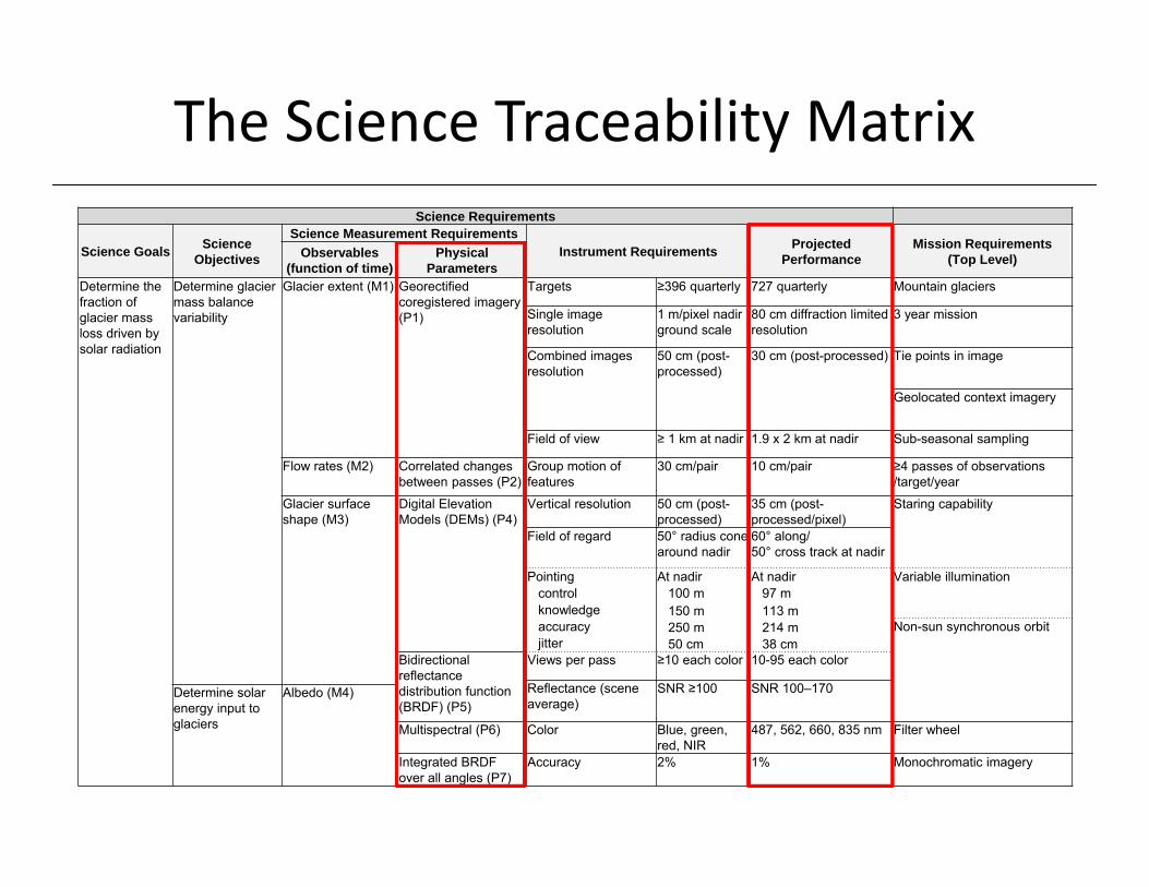
The Science Traceability MatrixScience Requirements
Science Goals Science Objectives
Science Measurement RequirementsInstrument Requirements Projected
PerformanceMission Requirements
(Top Level)Observables (function of time)
Physical Parameters
Determine the fraction of glacier mass loss driven by solar radiation
Determine glacier mass balance variability
Glacier extent (M1) Georectified coregistered imagery (P1)
Targets ≥396 quarterly 727 quarterly Mountain glaciers
Single image resolution
1 m/pixel nadir ground scale
80 cm diffraction limited resolution
3 year mission
Combined images resolution
50 cm (post-processed)
30 cm (post-processed) Tie points in image
Geolocated context imagery
Field of view ≥ 1 km at nadir 1.9 x 2 km at nadir Sub-seasonal sampling
Flow rates (M2) Correlated changes between passes (P2)
Group motion of features
30 cm/pair 10 cm/pair ≥4 passes of observations/target/year
Glacier surface shape (M3)
Digital Elevation Models (DEMs) (P4)
Vertical resolution 50 cm (post-processed)
35 cm (post-processed/pixel)
Staring capability
Field of regard 50° radius cone around nadir
60° along/50° cross track at nadir
Pointing At nadir At nadir Variable illuminationcontrol 100 m 97 mknowledge 150 m 113 maccuracy 250 m 214 m Non-sun synchronous orbitjitter 50 cm 38 cm
Bidirectional reflectance distribution function (BRDF) (P5)
Views per pass ≥10 each color 10-95 each color
Reflectance (scene average)
SNR ≥100 SNR 100–170Determine solar energy input to glaciers
Albedo (M4)
Multispectral (P6) Color Blue, green, red, NIR
487, 562, 660, 835 nm Filter wheel
Integrated BRDF over all angles (P7)
Accuracy 2% 1% Monochromatic imagery
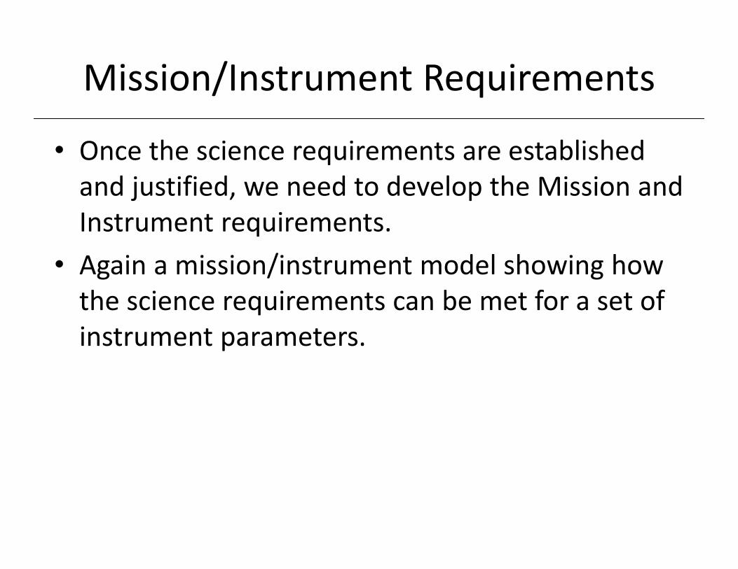
Mission/Instrument Requirements
• Once the science requirements are established and justified, we need to develop the Mission and Instrument requirements.
• Again a mission/instrument model showing how the science requirements can be met for a set of instrument parameters.
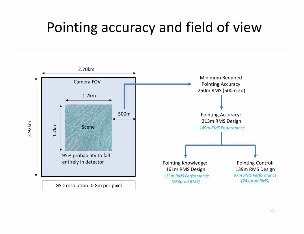
Minimum Required Pointing Accuracy
250m RMS (500m 2σ)
Pointing Accuracy: 213m RMS Design149m RMS Performance
Pointing Knowledge: 161m RMS Design113m RMS Performance
(284µrad RMS)
Pointing Control:139m RMS Design97m RMS Performance
(244µrad RMS)
2.70km
2.92
km
1.7km
1.7km
500m
95% probability to fall entirely in detector
Scene
Camera FOV
GSD resolution: 0.8m per pixel
Pointing accuracy and field of view
9
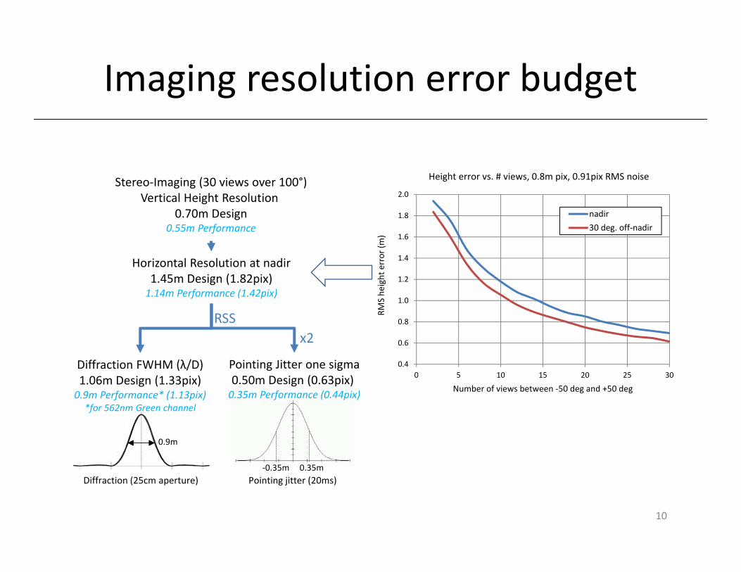
Pointing Jitter one sigma0.50m Design (0.63pix) 0.35m Performance (0.44pix)
Horizontal Resolution at nadir1.45m Design (1.82pix)1.14m Performance (1.42pix)
Stereo‐Imaging (30 views over 100°)Vertical Height Resolution
0.70m Design0.55m Performance
0.9m
Diffraction (25cm aperture)0.35m‐0.35m
Pointing jitter (20ms)
RSSx2
Diffraction FWHM (λ/D)1.06m Design (1.33pix)0.9m Performance* (1.13pix) *for 562nm Green channel
0.4
0.6
0.8
1.0
1.2
1.4
1.6
1.8
2.0
0 5 10 15 20 25 30RM
S he
ight error (m
)Number of views between ‐50 deg and +50 deg
Height error vs. # views, 0.8m pix, 0.91pix RMS noise
nadir30 deg. off‐nadir
Imaging resolution error budget
10
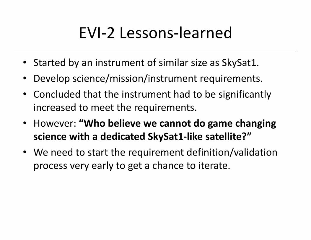
EVI‐2 Lessons‐learned
• Started by an instrument of similar size as SkySat1.• Develop science/mission/instrument requirements.• Concluded that the instrument had to be significantly increased to meet the requirements.
• However: “Who believe we cannot do game changing science with a dedicated SkySat1‐like satellite?”
• We need to start the requirement definition/validation process very early to get a chance to iterate.
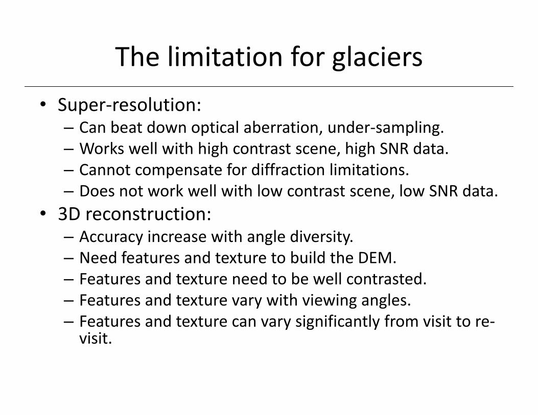
The limitation for glaciers• Super‐resolution:
– Can beat down optical aberration, under‐sampling.– Works well with high contrast scene, high SNR data.– Cannot compensate for diffraction limitations.– Does not work well with low contrast scene, low SNR data.
• 3D reconstruction:– Accuracy increase with angle diversity.– Need features and texture to build the DEM.– Features and texture need to be well contrasted.– Features and texture vary with viewing angles.– Features and texture can vary significantly from visit to re‐visit.
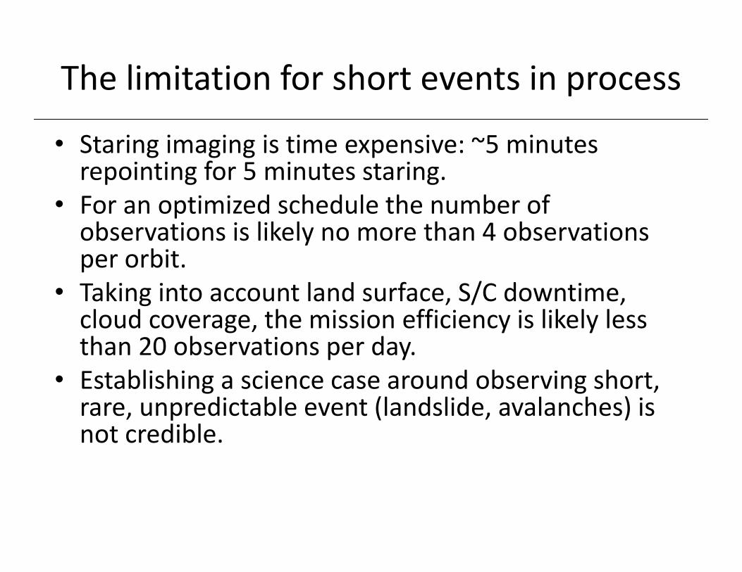
The limitation for short events in process
• Staring imaging is time expensive: ~5 minutes repointing for 5 minutes staring.
• For an optimized schedule the number of observations is likely no more than 4 observations per orbit.
• Taking into account land surface, S/C downtime, cloud coverage, the mission efficiency is likely less than 20 observations per day.
• Establishing a science case around observing short, rare, unpredictable event (landslide, avalanches) is not credible.
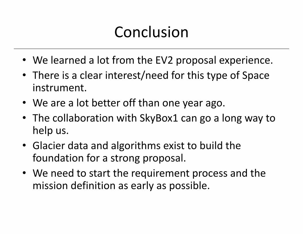
Conclusion
• We learned a lot from the EV2 proposal experience.• There is a clear interest/need for this type of Space instrument.
• We are a lot better off than one year ago.• The collaboration with SkyBox1 can go a long way to help us.
• Glacier data and algorithms exist to build the foundation for a strong proposal.
• We need to start the requirement process and the mission definition as early as possible.