Embed Size (px)
Citation preview
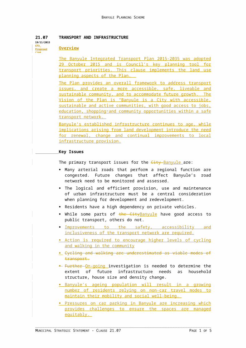
BANYULE PLANNING SCHEME
21.07 TRANSPORT AND INFRASTRUCTURE
Overview
The Banyule Integrated Transport Plan 2015-2035 was adopted 29 October 2015 and is Council’s key planning tool for transport priorities. This clause implements the land use planning aspects of the Plan. The Plan provides an overall framework to address transport issues, and create a more accessible, safe, liveable and sustainable community, and to accommodate future growth. The Vision of the Plan is “Banyule is a City with accessible, sustainable and active communities, with good access to jobs, education, shopping and community opportunities within a safe transport network.”Banyule's established infrastructure continues to age, while implications arising from land development introduce the need for renewal, change and continual improvements to local infrastructure provision.
Key Issues
The primary transport issues for the City Banyule are: Many arterial roads that perform a regional function are congested. Future changes that
affect Banyule’s road network need to be monitored and assessed. The logical and efficient provision, use and maintenance of urban infrastructure must
be a central consideration when planning for development and redevelopment. Residents have a high dependency on private vehicles. While some parts of the CityBanyule have good access to public transport, others do
not. Improvements to the safety, accessibility and inclusiveness of the transport network are
required. Action is required to encourage higher levels of cycling and walking in the community Cycling and walking are underestimated as viable modes of transport. Further On-going investigation is needed to determine the extent of future infrastructure
needs as household structure, house size and density change. Banyule’s ageing population will result in a growing number of residents relying on
non-car travel modes to maintain their mobility and social well-being. Pressures on car parking in Banyule are increasing which provides challenges to ensure
the spaces are managed equitably. Expected population growth will increase travel demand within and across Banyule. Adverse impacts resulting from increasing freight movements across the Banyule road
network.
21.07-1 Objectives and Strategies
Objective 1 – Accessibility and Mobility
To promote a safe, efficient and effective integrated transport network for all abilities that reduces our reliance on private carsTo promote a safe, efficient and effective integrated transport network.Strategies to achieve this objective include: Encourage a safe, continuous, direct and convenient local on-road bicycle network. Encourage and support walking as a preferred transport mode on short trips.Establish
Pedestrian Priority Precincts for Banyule’s Activity Centres and Neighbourhood
MUNICIPAL STRATEGIC STATEMENT - CLAUSE 21.07 PAGE 1 OF 3
01/10/2015C71Proposed C108
19/11/2015C73 ProposedC108

BANYULE PLANNING SCHEME
Centres and other community hubs to encourage reduced speed limits and provide for pedestrian and cyclist links.
Improve accessibility to and within Activity Centres and Neighbourhood Centres. Encourage the provision of access for people with disabilities and limited mobility in
all streets, public transport infrastructure and public and commercial buildings. Encourage appropriate traffic management and provision of car parking. Encourage new commercial businesses to locate in Banyule’s Activity Centres and
Neighbourhood Centres, particularly around transport nodes. Encourage increased use of public transport, particularly to and from Activity Centres,
Neighbourhood Centres and major employment areas. Advocate for improvements to the public transport service, accessibility and
infrastructure in Banyule. Encourage the provision of adequate and appropriately located car parking at transport
interchanges, Activity Centres and Neighbourhood Centres and in association with individual uses.
Approach parking as a limited, shared resource in Banyule and use of a wide range of parking management tools to manage parking demand.
Discourage land uses and development adjacent to arterial roads which would detrimentally affect the capacity of those roads.
Encourage high quality pedestrian links to key destinations with appropriate way finding and remove physical barriers within the existing pedestrian network.
Support integrated transport and pedestrian improvements around train stations and other public transport nodes and interchanges to encourage the use of public transport.
Objective 2 – Integration of Transport and Land Use
To facilitate land use and development in Banyule that will support sustainable transport and reduce the distance travelled.Strategies to achieve this objective include: Support and facilitate a mix of land uses and greater housing densities in and around
locations that offer greatest access to public transport, including railway stations, tram routes and high frequency bus routes, and walking and cycling infrastructure.
Encourage new developments that incorporate sustainable transport modes to assist in reducing parking demand and traffic.
Require the preparation of Green Travel Plans where there is a substantial reduction in car parking from Clause 52.06 requirements.
Encourage businesses and new developments to provide for adequate end of trip facilities for pedestrians and cyclists.
Objective 2 3 – Amenity
To reduce of the detrimental effects of transport on amenity.Strategies to achieve this objective include: Restrict non-residential traffic and parking intrusion into residential areas. Protect residential areas from the intrusion of non-local traffic.
Objective 3 4 – Environmental effects
To reduce of the detrimental effects of transport on the natural environment of Banyule.Strategies to achieve this objective include: Promote a safe and suitable pedestrian and bicycle access within the municipality. Increase the use of public transport and reduced dependency on private vehicles.
MUNICIPAL STRATEGIC STATEMENT - CLAUSE 21.07 PAGE 2 OF 3

BANYULE PLANNING SCHEME
Encourage intensive land uses, including medium-density residential development, community facilities and commercial activity, in areas of high accessibility by public transport.
Encourage the provision a safe, linked system of bike and walking trails throughout the municipality as an alternative to vehicular transport.
Encourage land use and development which facilitates multi-purpose trips. Consider the 'Local Road User Hierarchy' as a decision making tool to inform preferred
design outcomes that are geared towards prioritised modes particularly within activity centres.
21.07-2 Implementation
The Responsible Authority will implement the objectives and strategies for Transport by: Appropriate zones and overlays in the Banyule Planning Scheme, including:
Road Zones 1 and 2 as appropriate. Develop and implement Parking Plans and Parking Overlays for the Heidelberg,
Ivanhoe and Greensborough Activity Centres.Parking Precinct Plans to activity centres.
Analysinge drainage catchments, undertake an audit of the drainage network, identify overland flow paths in planning scheme maps and consider these matters in the determination of permit and amendment applications, particularly in relation to higher-density residential development.
Using the Environmentally Sustainable Development Local Policy (22.05) when assessing relevant planning permit applications to encourage residential and non-residential proposals to address sustainable development principles and objectives.
Reviewing Structure Plans for Banyule's Activity Centres Identifying and implementing the most appropriate mechanism to require Green Travel
Plans. Preparing a Principal Pedestrian Network to identify key walking routes in Banyule,
Create Activity Centre Pedestrian Priority Precincts where accessibility, mobility and safety will inform the design of the public realm.
Developing a Banyule Walking Strategy. Reviewing and updating the Banyule Bicycle Strategy.
Reference DocumentsBanyule Integrated Transport Plan 2015-2035
MUNICIPAL STRATEGIC STATEMENT - CLAUSE 21.07 PAGE 3 OF 3
19/11/2015C73Proposed C108