Embed Size (px)
Citation preview
1 | P a g e
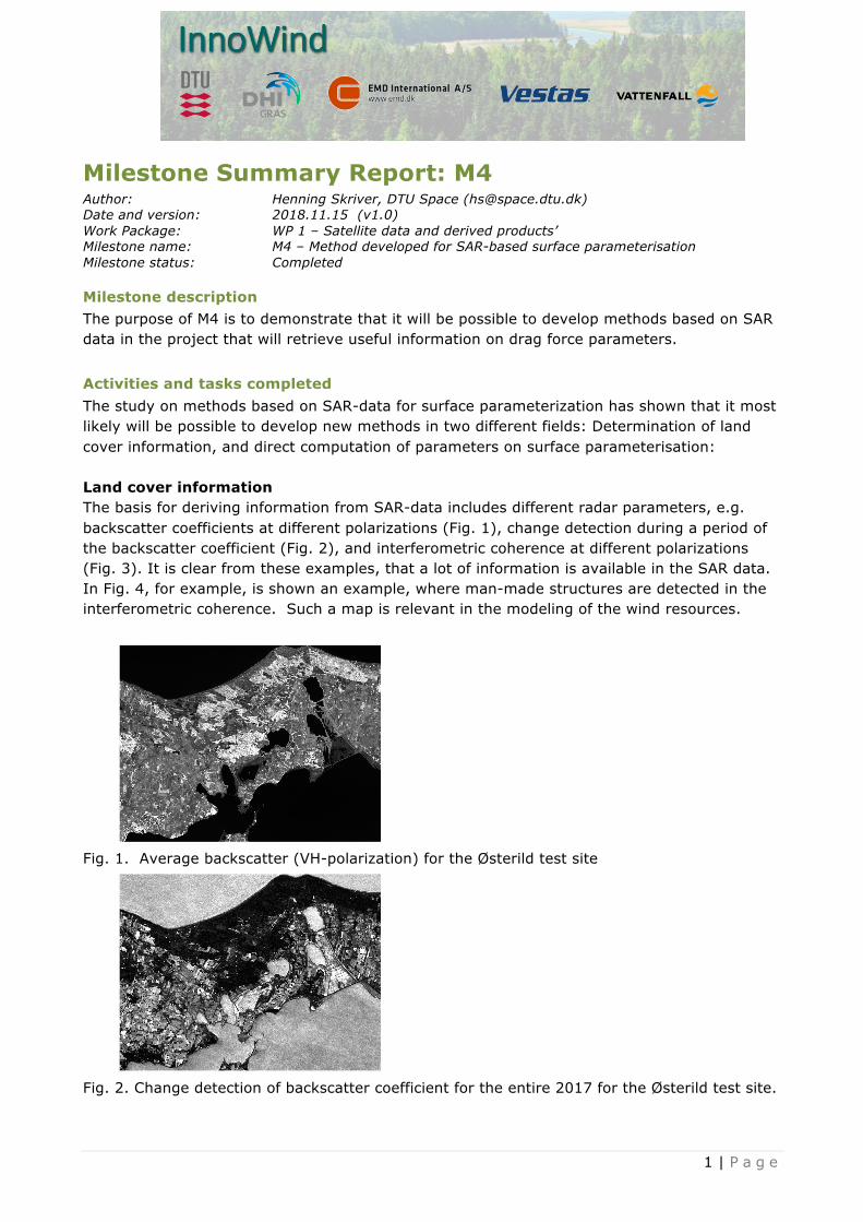
Milestone Summary Report: M4 Author: Henning Skriver, DTU Space ([email protected]) Date and version: 2018.11.15 (v1.0) Work Package: WP 1 – Satellite data and derived products’ Milestone name: M4 – Method developed for SAR-based surface parameterisation Milestone status: Completed
Milestone description The purpose of M4 is to demonstrate that it will be possible to develop methods based on SAR data in the project that will retrieve useful information on drag force parameters.
Activities and tasks completed The study on methods based on SAR-data for surface parameterization has shown that it most likely will be possible to develop new methods in two different fields: Determination of land cover information, and direct computation of parameters on surface parameterisation: Land cover information The basis for deriving information from SAR-data includes different radar parameters, e.g. backscatter coefficients at different polarizations (Fig. 1), change detection during a period of the backscatter coefficient (Fig. 2), and interferometric coherence at different polarizations (Fig. 3). It is clear from these examples, that a lot of information is available in the SAR data. In Fig. 4, for example, is shown an example, where man-made structures are detected in the interferometric coherence. Such a map is relevant in the modeling of the wind resources.
Fig. 1. Average backscatter (VH-polarization) for the Østerild test site
Fig. 2. Change detection of backscatter coefficient for the entire 2017 for the Østerild test site.

2 | P a g e
Fig. 3. Average interferometric coherence (VV-polarization) for the Østerild test site.
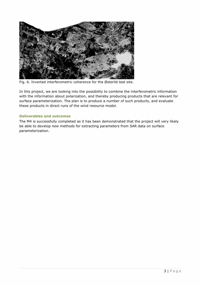
Fig. 4. Man-made targets registered in the national map data base (left-hand side). Objects detected in the interferometric coherence (right-hand side). Direct computation of parameters for surface parameterisation. In Fig. 5 the tree heights for forest areas in the Østerild test site measured by laser. In Fig. 6 the inverted interferometric coherence is shown. There is a very clear correlation both looking at the intensity of the coherence, and also the spatial variability. As has been shown by others, it is clear that some information about the tree height can be derived from the interferometric coherence.
Fig. 5. Tree heights for the Østerild test site
3 | P a g e
Fig. 6. Inverted interferometric coherence for the Østerild test site. In this project, we are looking into the possibility to combine the interferometric information with the information about polarization, and thereby producing products that are relevant for surface parameterization. The plan is to produce a number of such products, and evaluate these products in direct runs of the wind resource model.
Deliverables and outcomes The M4 is successfully completed as it has been demonstrated that the project will very likely be able to develop new methods for extracting parameters from SAR data on surface parameterization.