Embed Size (px)
Citation preview
Methods and tools for epidemiological biosurveillance
in data-limited settings
Presenter: Kathryn H. Jacobsen, MPH, PhD
Associate Professor of Epidemiology, George Mason
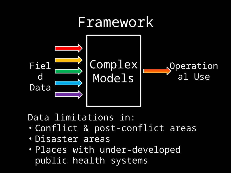
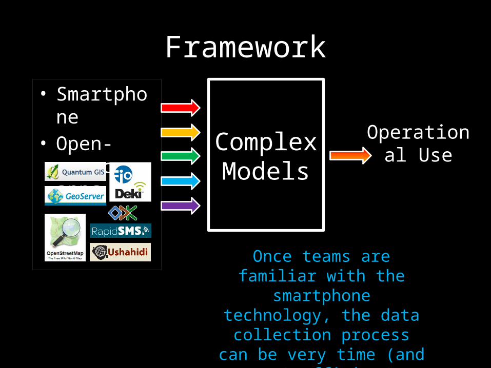
Framework
Complex
Models
Operational Use
Field Data
Data limitations in:• Conflict & post-conflict areas• Disaster areas• Places with under-developed public
health systems
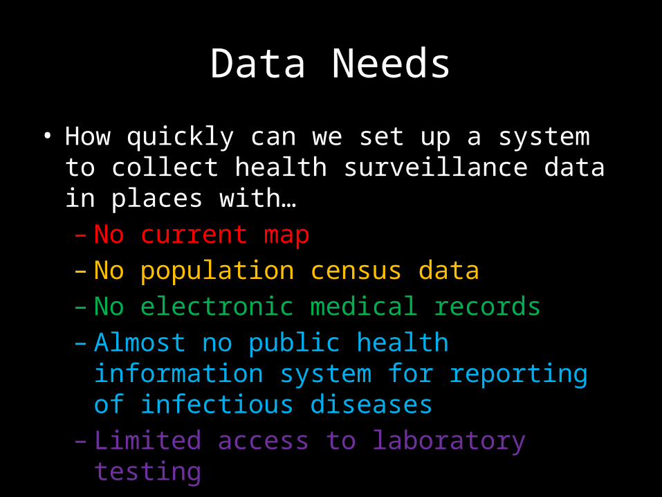
Data Needs
• How quickly can we set up a system to collect health surveillance data in places with…–No current map–No population census data–No electronic medical records– Almost no public health information
system for reporting of infectious diseases
– Limited access to laboratory testing
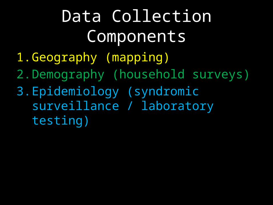
Data Collection Components
1. Geography (mapping)2. Demography (household surveys)3. Epidemiology (syndromic
surveillance / laboratory testing)
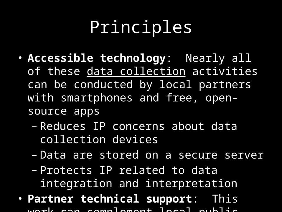
Principles
• Accessible technology: Nearly all of these data collection activities can be conducted by local partners with smartphones and free, open-source apps– Reduces IP concerns about data
collection devices– Data are stored on a secure server– Protects IP related to data integration
and interpretation• Partner technical support: This work
can complement local public health information efforts
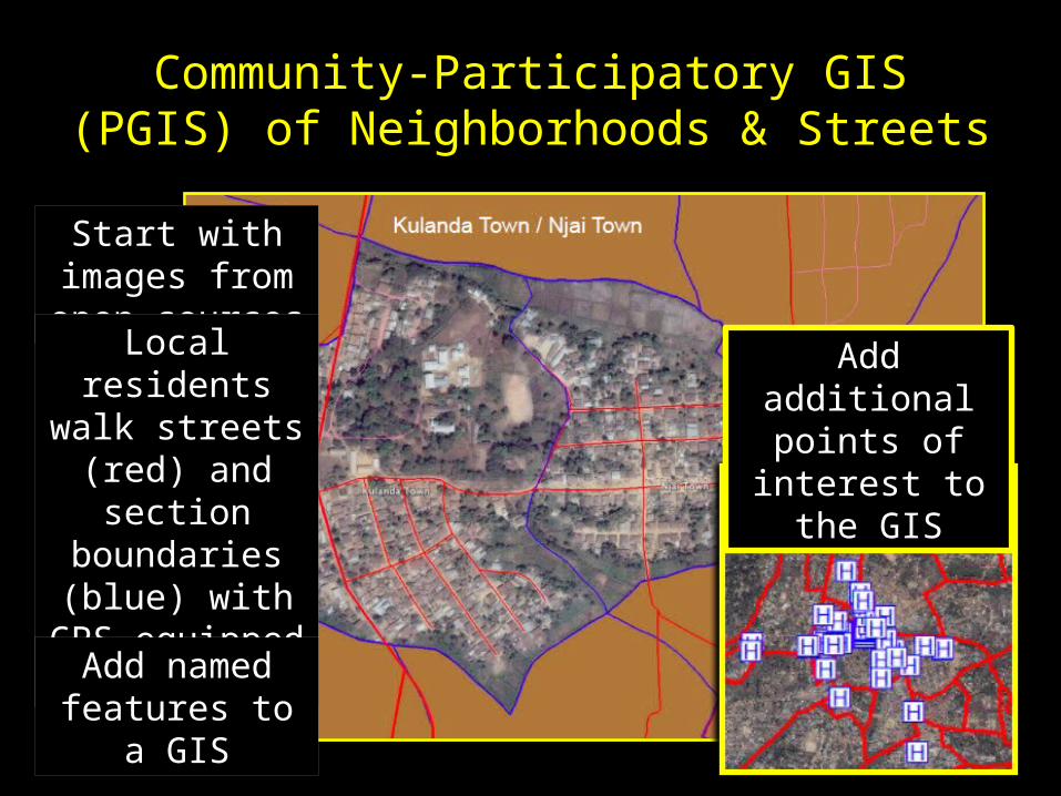
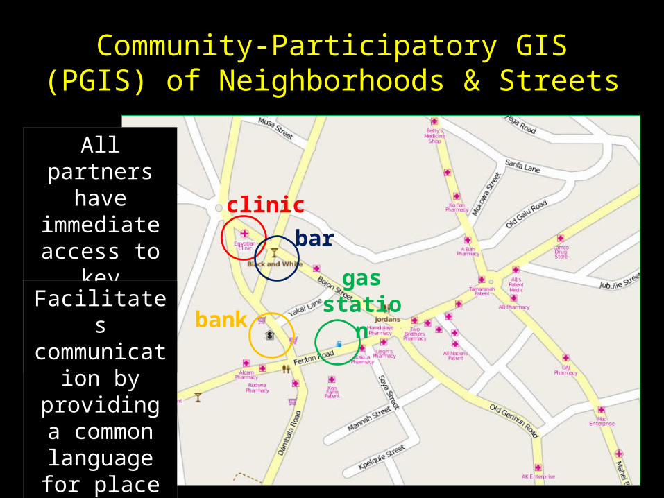
Community-Participatory GIS (PGIS) of Neighborhoods & Streets
Start with images from open sources
Local residents walk streets (red) and section boundaries (blue) with
GPS-equipped smartphonesAdd named
features to a GIS
Add additional points of
interest to the GIS
Community-Participatory GIS (PGIS) of Neighborhoods & Streets
All partners have
immediate access to
key spatial informationFacilitates
communication by
providing a common language for place names
clinic
gas statio
n
bar
bank
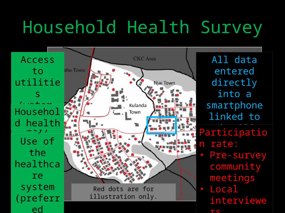
Household Health Survey
Access to utilities (water,
electricity)
Household health
Use of the
healthcare system (preferre
d providers
)
All data entered
directly into a smartphone linked to the
GIS(with care taken to
protect the confidentiality of
personal information)
Participation rate: • Pre-survey
community meetings
• Local interviewers
Red dots are for illustration only.
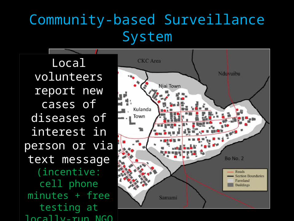
Community-based Surveillance System
Local volunteers report new
cases of diseases of interest in
person or via text message(incentive: cell
phone minutes + free testing at
locally-run NGO hospital)
Syndromic Surveillance
• Syndromic (symptom-based) data collection activities– SMS reporting of weekly cases in an assigned
“catchment area” via cell phone from community health volunteers (CHVs) in urban and rural areas
– SMS reporting from nationwide military units improved weekly reporting compliance from 76% to 100% of Sierra Leone’s military medical units over a year
• GPS-linked environmental testing (water, chickens/birds, etc.)
Framework
Complex
Models
Operational Use
• Smartphone
• Open-source apps
Once teams are familiar with the smartphone technology, the data
collection process can be very time (and cost)
efficient.
Disclaimer:The views expressed herein are those of the presenter and are not
representative of the Department of the Navy or the Department of Defense.