Embed Size (px)
Citation preview
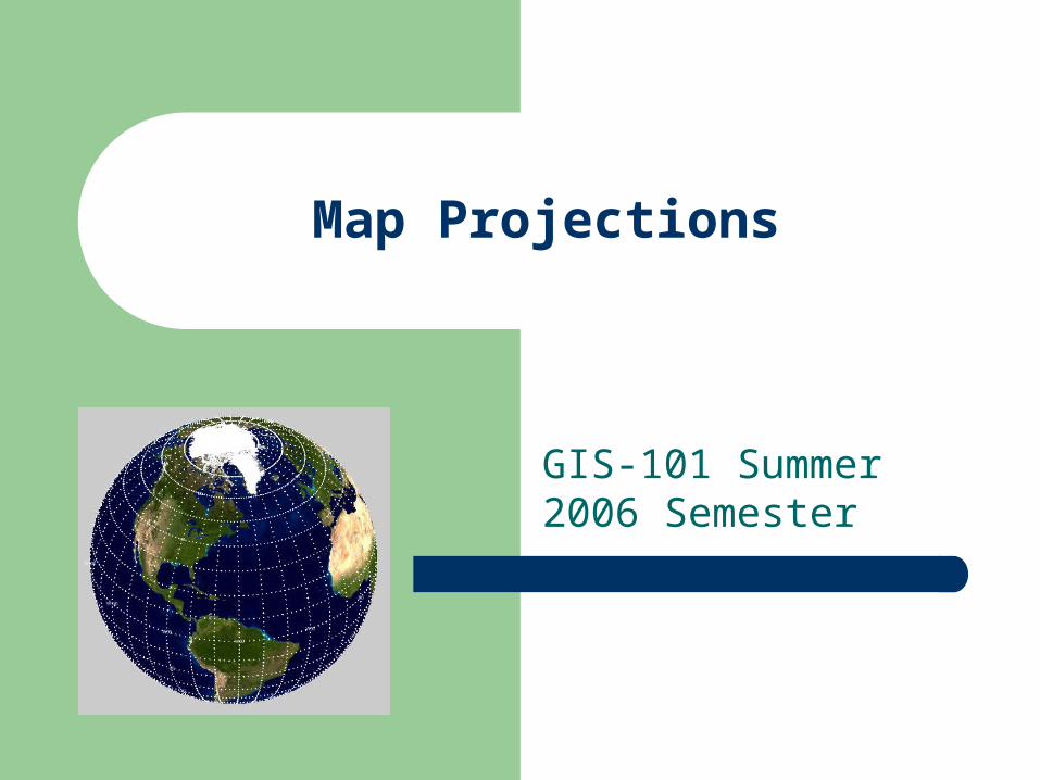
Map Projections
GIS-101 Summer 2006 Semester
Important Things to Remember about Map Projections
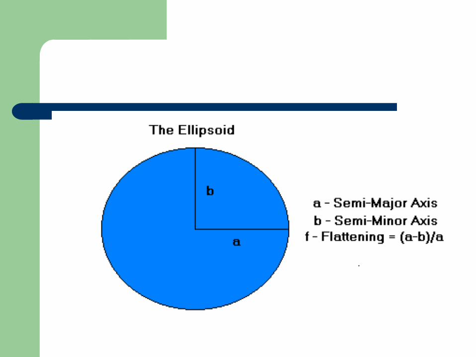
An attempt to take location information from a spheriod object and transfer to a flat surface
As such, ALL projections are a distortion of the real world to some extent!
Attributes of Distortion
Shape Size Distance Direction Area
Map Projections versus Coordinate Systems
REMEMBER: Map Projections and Coordinate Systems are two different things!
Factors Associated with Map Projections
Scale Map Units Projection Coordinate System Datum
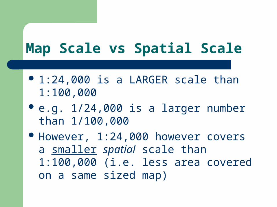
Map Scale vs Spatial Scale
1:24,000 is a LARGER scale than 1:100,000 e.g. 1/24,000 is a larger number than
1/100,000 However, 1:24,000 however covers a smaller spatial scale than 1:100,000 (i.e. less area covered on a same sized map)
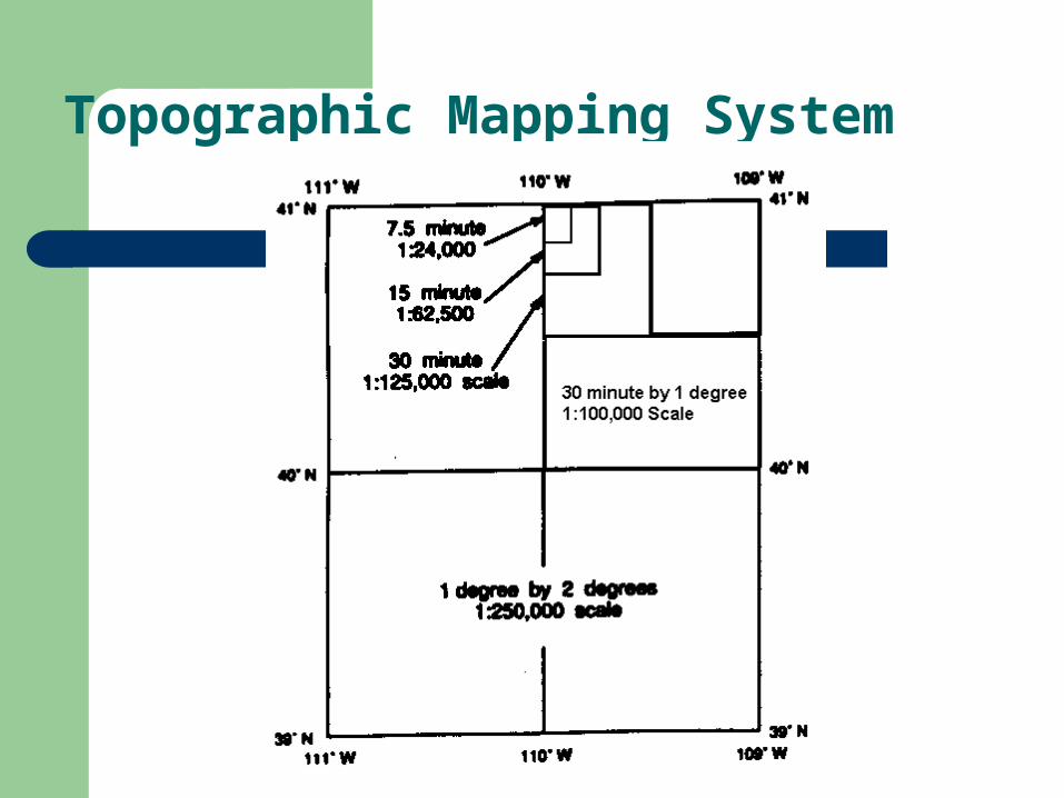
Topographic Mapping System
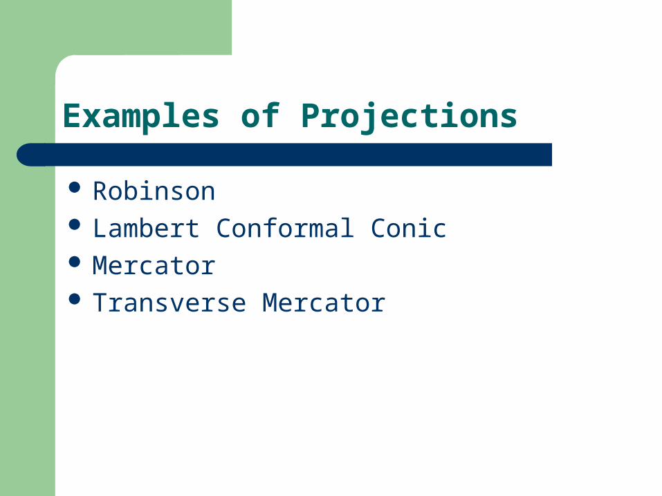
Examples of Projections
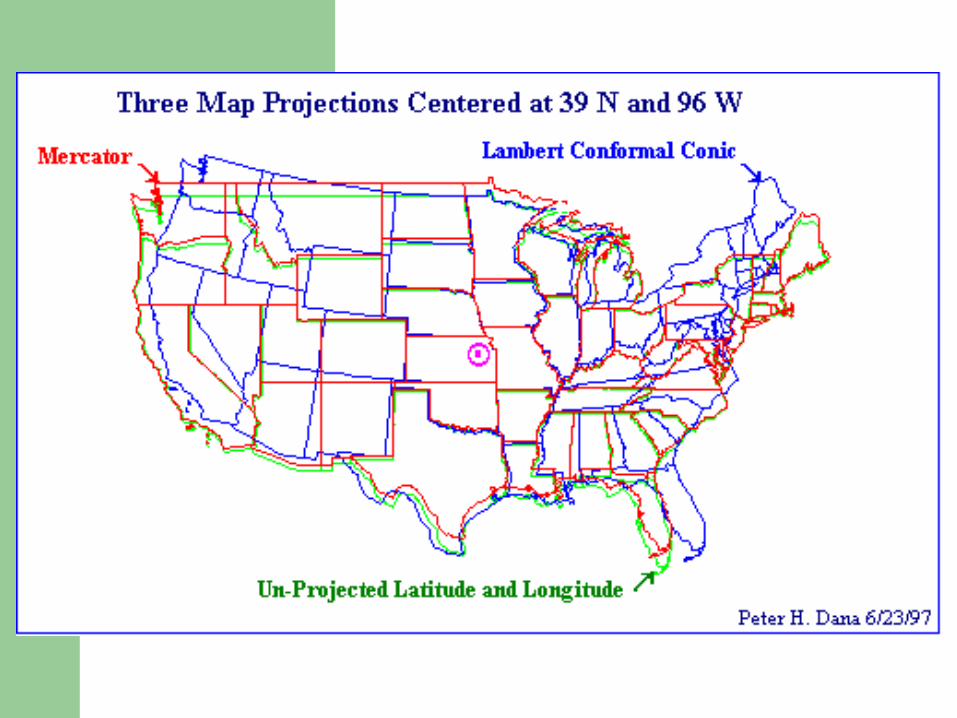
Robinson Lambert Conformal Conic Mercator Transverse Mercator
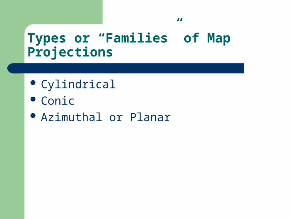
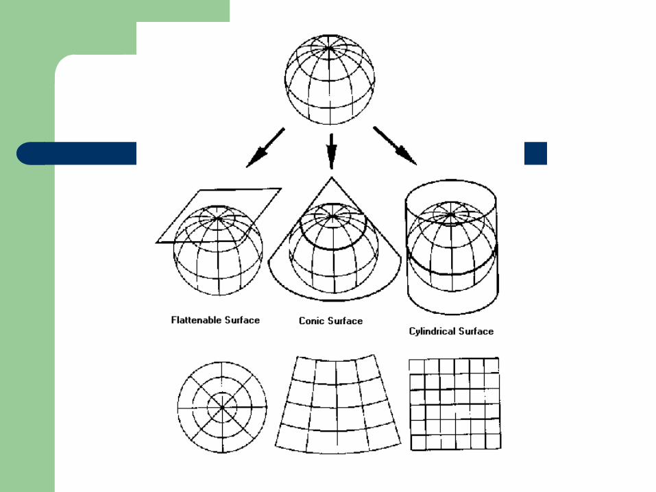
Types or “Families” of Map Projections
Cylindrical Conic Azimuthal or Planar
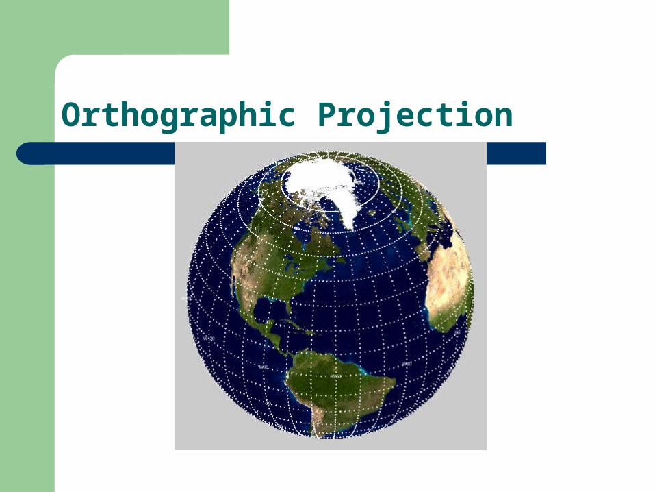
Orthographic Projection
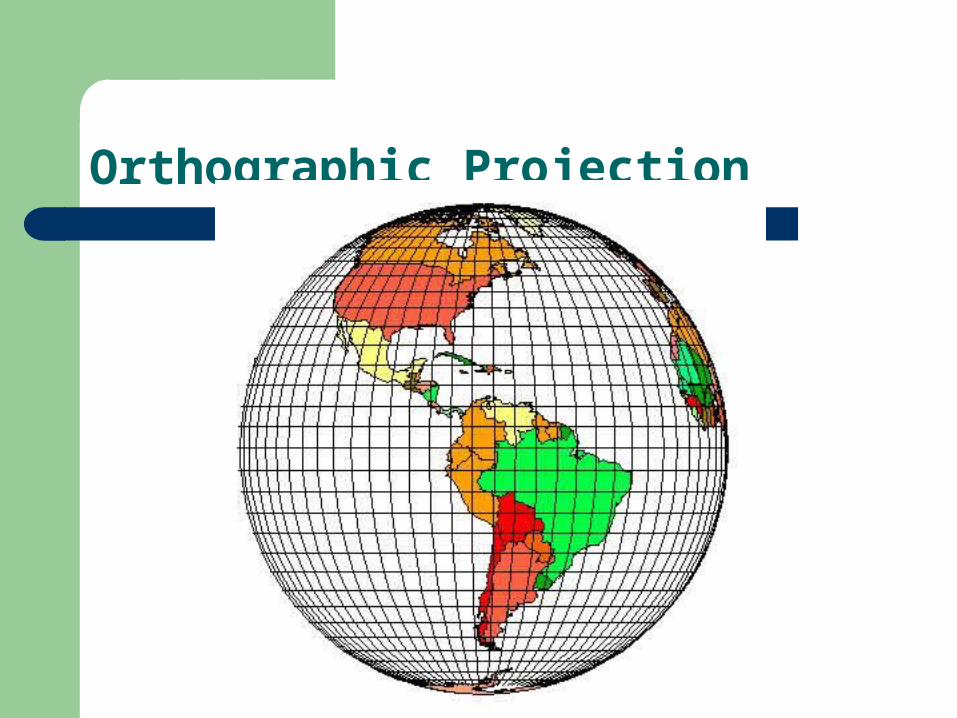
Orthographic Projection
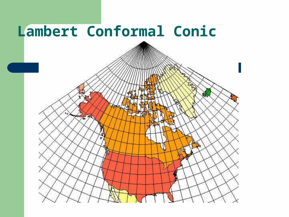
Lambert Conformal Conic
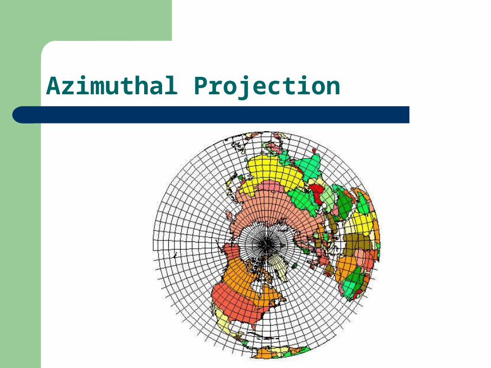
Azimuthal Projection
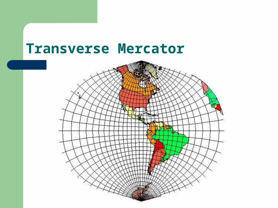
Transverse Mercator
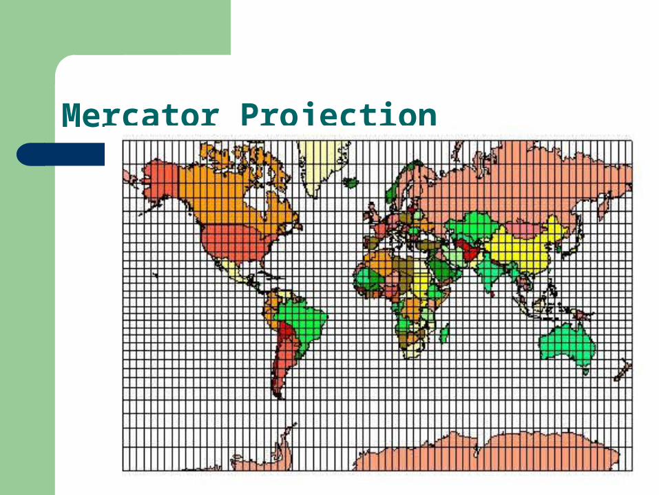
Mercator Projection
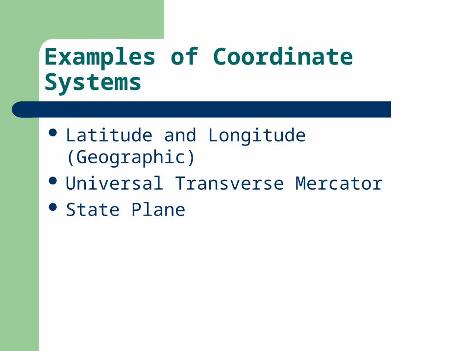
Examples of Coordinate Systems
Latitude and Longitude (Geographic) Universal Transverse Mercator State Plane
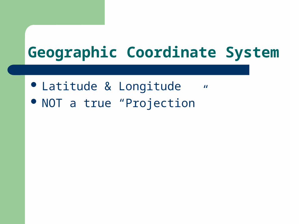
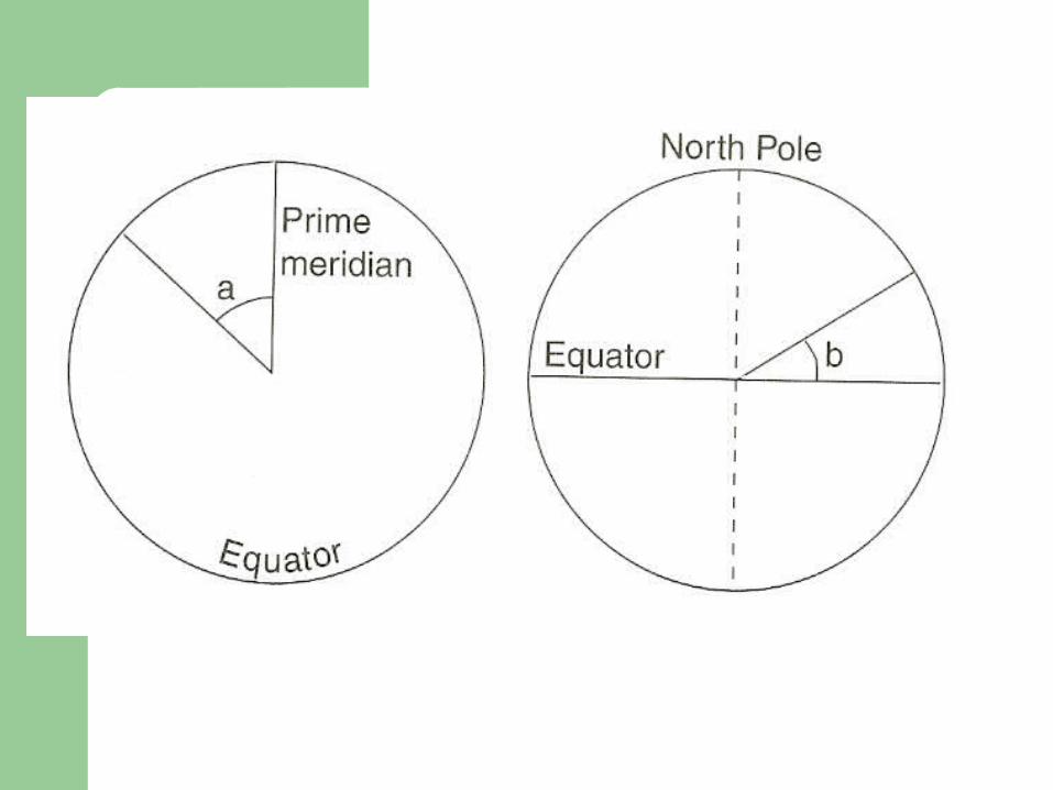
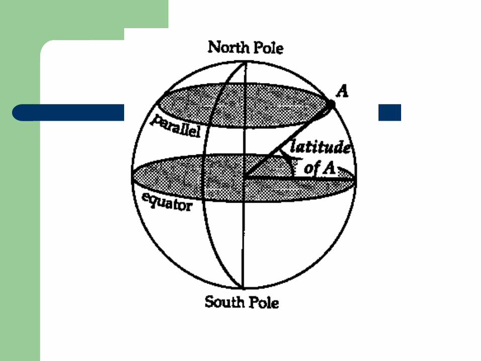
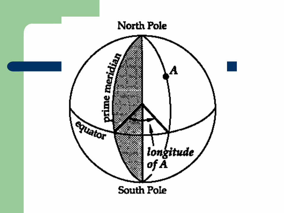
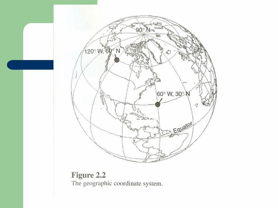
Geographic Coordinate System
Latitude & Longitude NOT a true “Projection”
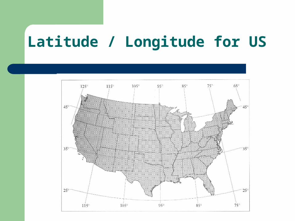
Latitude / Longitude for US
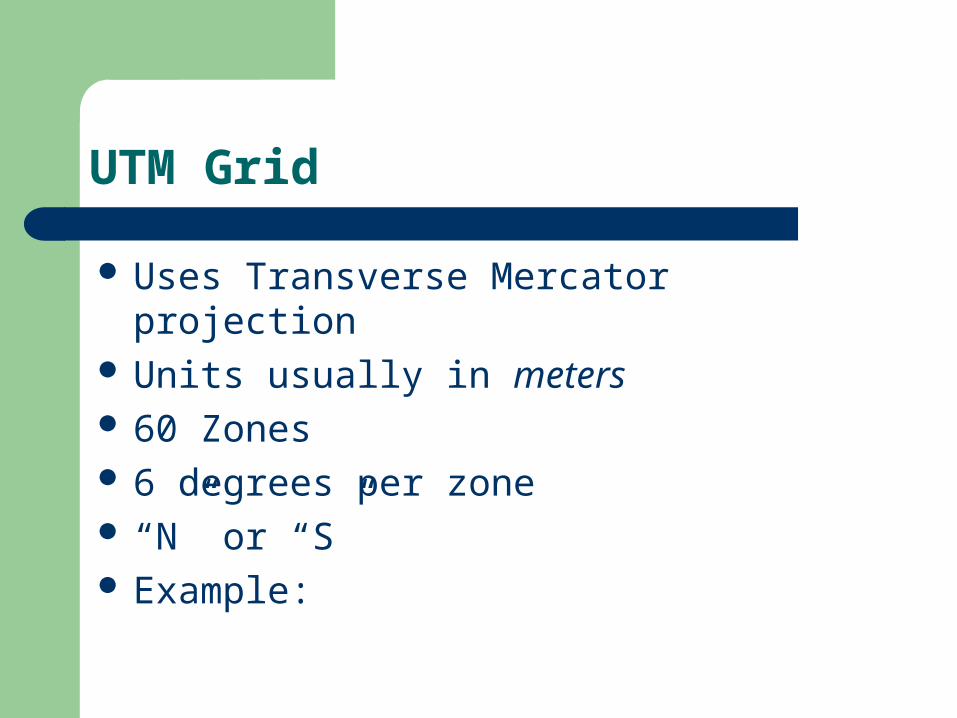
UTM Grid
Uses Transverse Mercator projection Units usually in meters 60 Zones 6 degrees per zone “N” or “S” Example:
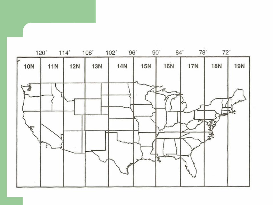
UTM Coordinate System (US)
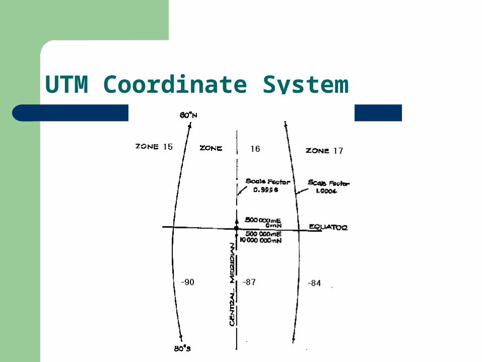
UTM Coordinate System
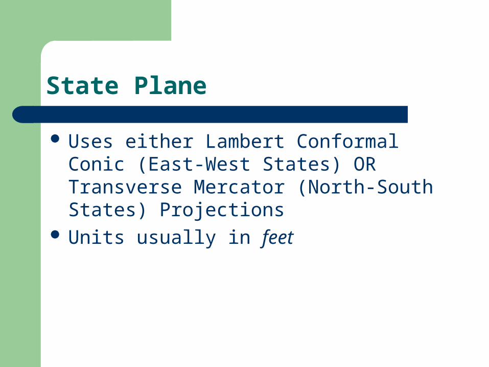
State Plane
Uses either Lambert Conformal Conic (East-West States) OR Transverse Mercator (North-South States) Projections
Units usually in feet
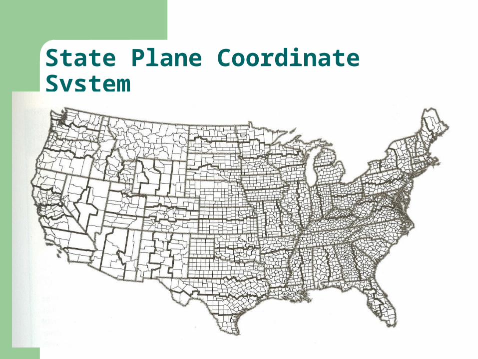
State Plane Coordinate System
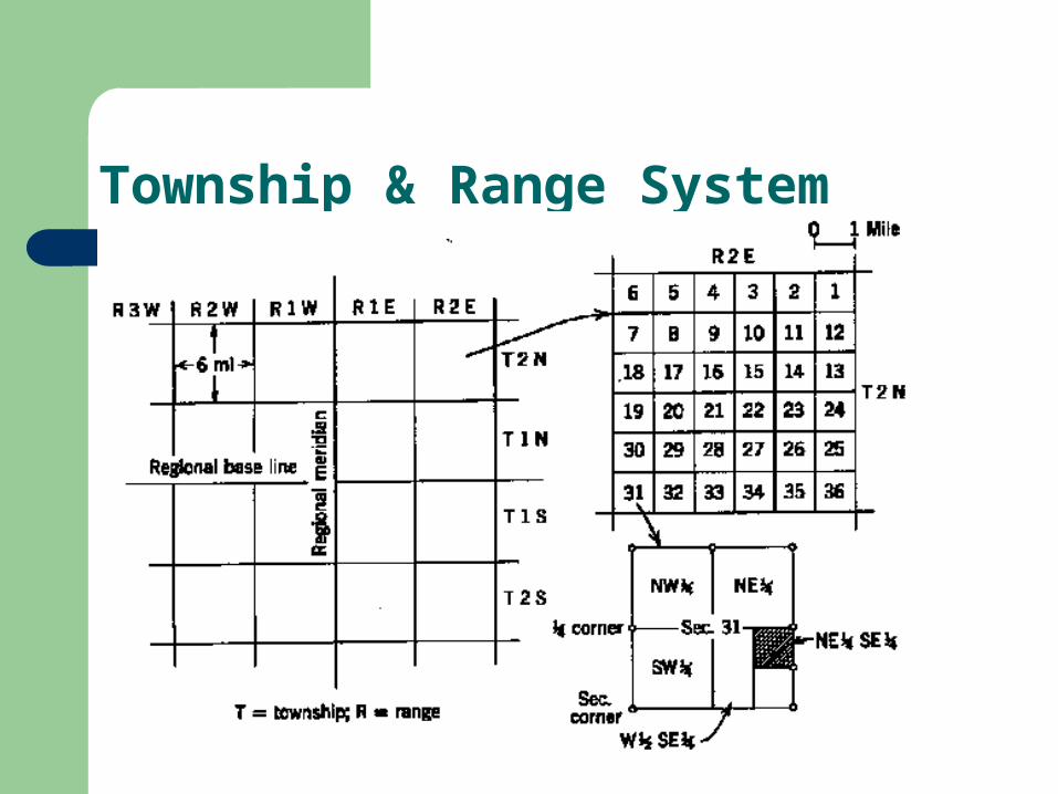
Township & Range System