Embed Size (px)
Citation preview
Managing Western Managing Western Rangelands with GIS and Rangelands with GIS and
Remote SensingRemote Sensing
Managing Western Managing Western Rangelands with GIS and Rangelands with GIS and
Remote SensingRemote SensingKeith T. WeberGIS Director
Idaho State University

Research TeamResearch TeamResearch TeamResearch Team
• Sudhanshu Panda, Nancy Glenn, Matthew Germino, Scott Hughes, and Richard Inouye (ISU)
• Steven Seefeldt and Bret Taylor (USSES)
• Numerous grad students
AcknowledgementsAcknowledgementsAcknowledgementsAcknowledgements
• NASA• USDA ARS- USSES• USDI BLM
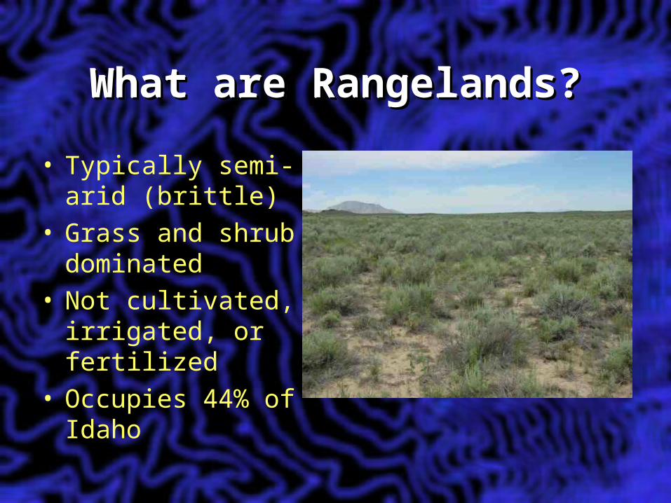
What are Rangelands?What are Rangelands?What are Rangelands?What are Rangelands?
• Typically semi-arid (brittle)
• Grass and shrub dominated
• Not cultivated, irrigated, or fertilized
• Occupies 44% of Idaho
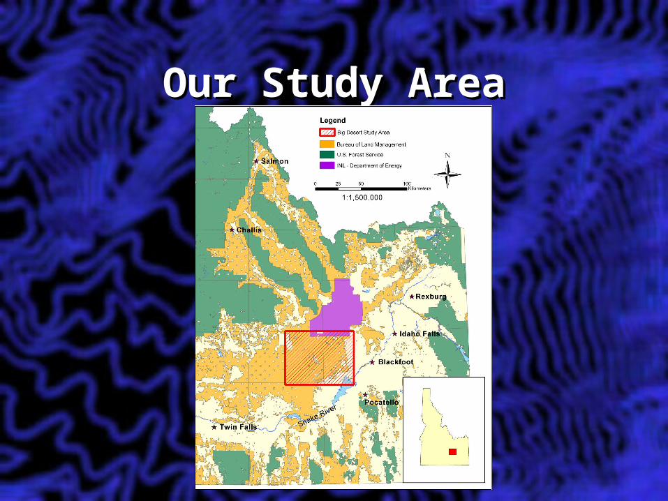
Our Study AreaOur Study AreaOur Study AreaOur Study Area
A Brief History…A Brief History…A Brief History…A Brief History…
• Land cover change study• Explore the primary agents of
change– Weeds– Fire– Urbanization
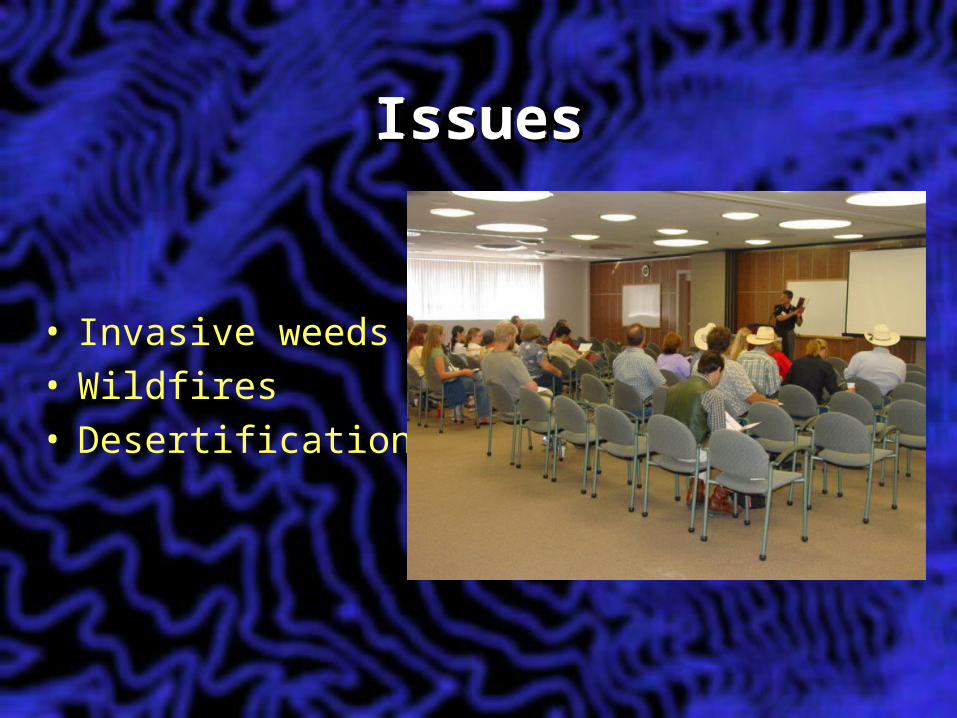
IssuesIssuesIssuesIssues
• Invasive weeds• Wildfires• Desertification
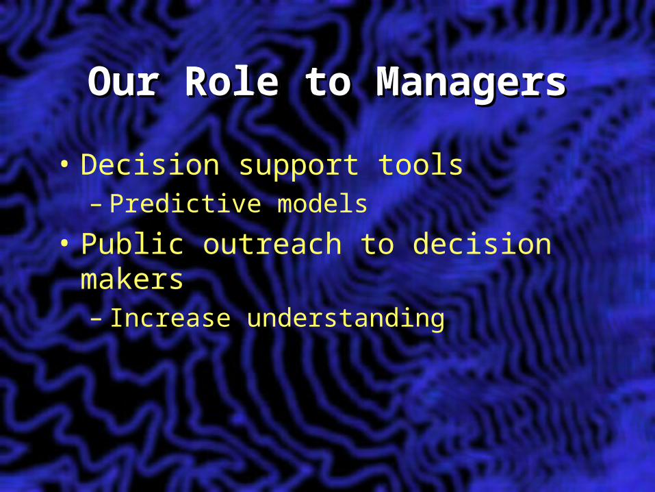
Our Role to ManagersOur Role to ManagersOur Role to ManagersOur Role to Managers
• Decision support tools– Predictive models
• Public outreach to decision makers– Increase understanding
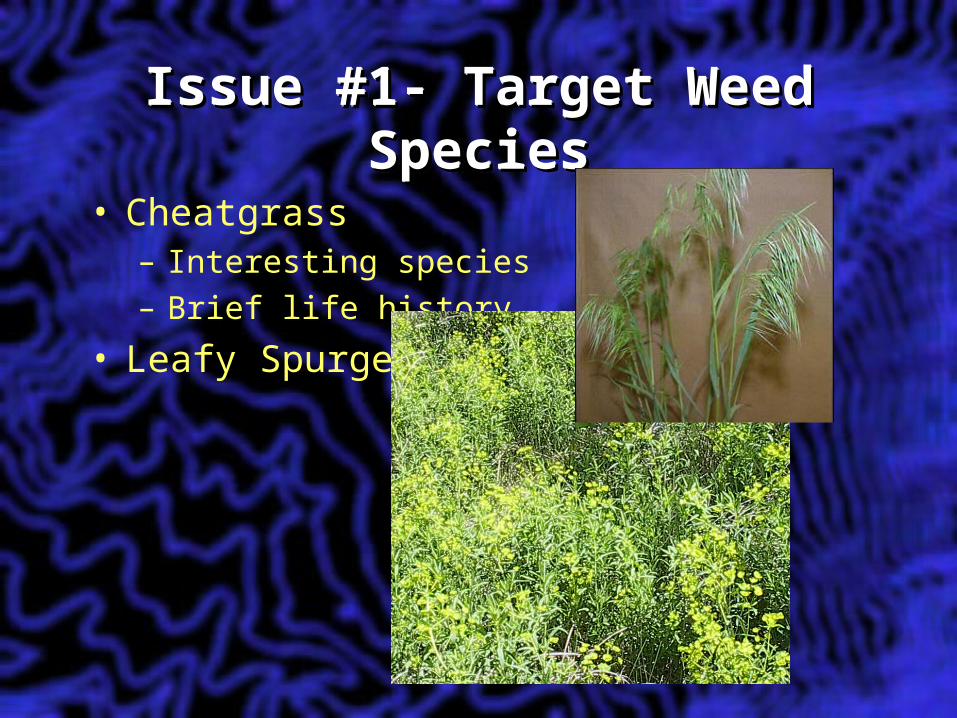
Issue #1- Target Weed Issue #1- Target Weed SpeciesSpecies
Issue #1- Target Weed Issue #1- Target Weed SpeciesSpecies
• Cheatgrass– Interesting species– Brief life history
• Leafy Spurge
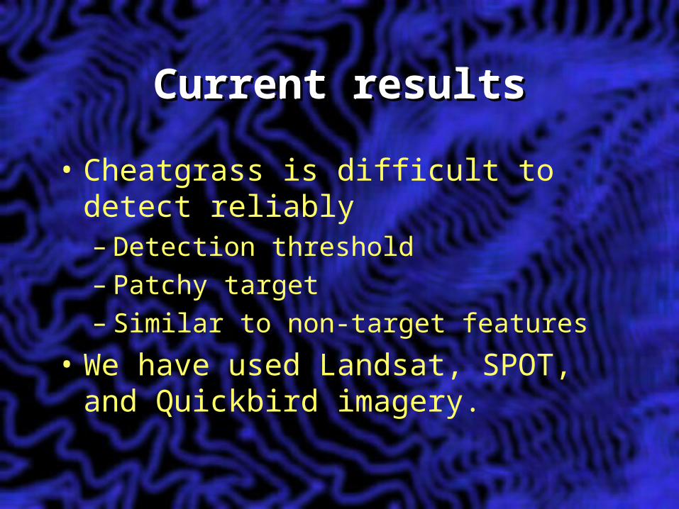
Current resultsCurrent resultsCurrent resultsCurrent results
• Cheatgrass is difficult to detect reliably– Detection threshold– Patchy target– Similar to non-target features
• We have used Landsat, SPOT, and Quickbird imagery.
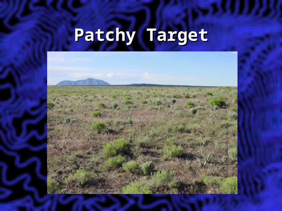
Patchy TargetPatchy TargetPatchy TargetPatchy Target
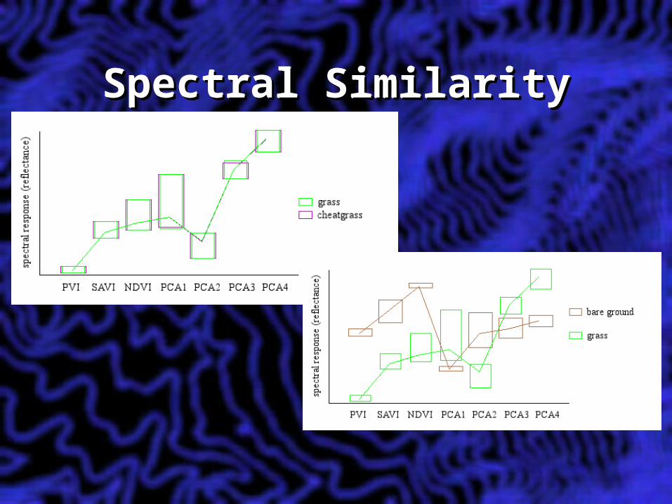
Spectral SimilaritySpectral SimilaritySpectral SimilaritySpectral Similarity
Issue #2, WildfireIssue #2, WildfireIssue #2, WildfireIssue #2, Wildfire
• Reliable fuel load modeling• Current rangeland fire severity
modeling
Issue #3, Issue #3, DesertificationDesertification
Issue #3, Issue #3, DesertificationDesertification
• For land managers and land stewards…– Bio-diversity issue– Why is this weed here?– What are we to do about high fuel
loads?– What can we do about the exposed
soils?
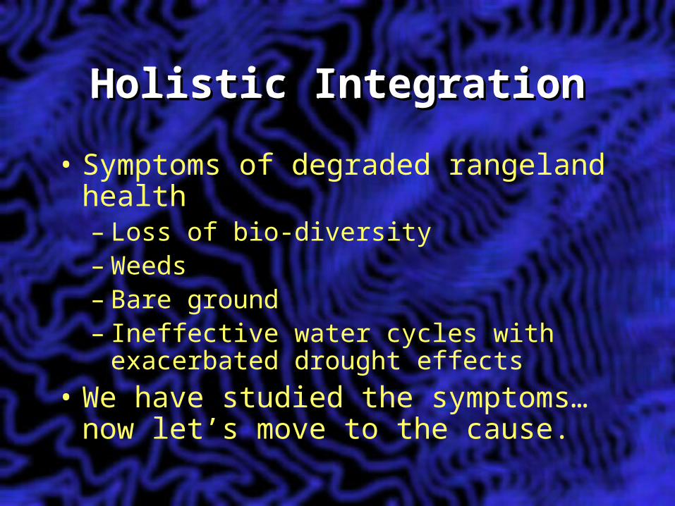
Holistic IntegrationHolistic IntegrationHolistic IntegrationHolistic Integration
• Symptoms of degraded rangeland health– Loss of bio-diversity– Weeds– Bare ground– Ineffective water cycles with
exacerbated drought effects• We have studied the symptoms…
now let’s move to the cause.
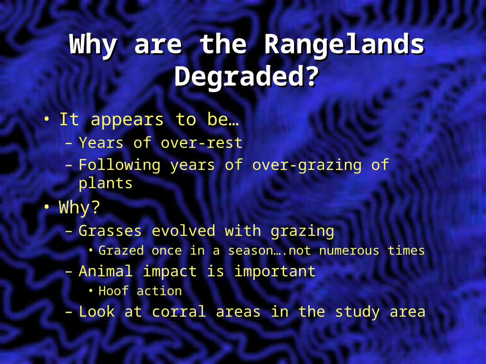
Why are the Rangelands Why are the Rangelands Degraded?Degraded?
Why are the Rangelands Why are the Rangelands Degraded?Degraded?
• It appears to be…– Years of over-rest– Following years of over-grazing of plants
• Why?– Grasses evolved with grazing
• Grazed once in a season….not numerous times
– Animal impact is important• Hoof action
– Look at corral areas in the study area
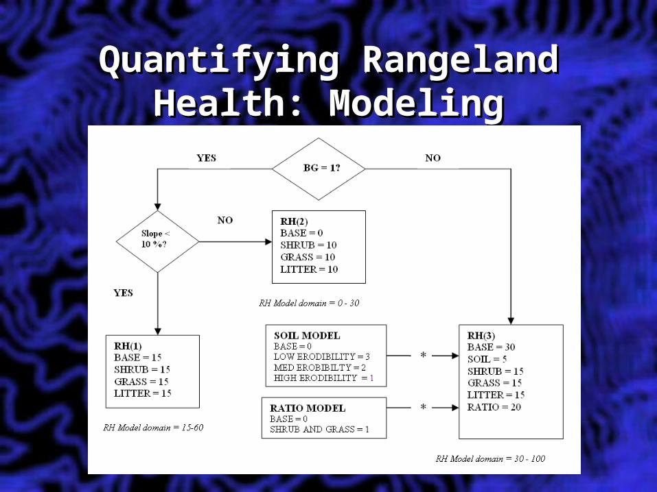
Quantifying Rangeland Quantifying Rangeland Health: ModelingHealth: Modeling
Quantifying Rangeland Quantifying Rangeland Health: ModelingHealth: Modeling
Importance of Rangeland Importance of Rangeland Health Modeling and Health Modeling and
ForecastingForecasting
Importance of Rangeland Importance of Rangeland Health Modeling and Health Modeling and
ForecastingForecasting• Big picture• Addresses end-user core concerns • Reliable models possible
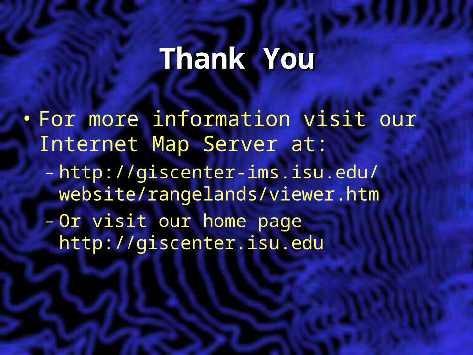
Thank YouThank YouThank YouThank You
• For more information visit our Internet Map Server at:– http://giscenter-ims.isu.edu/
website/rangelands/viewer.htm– Or visit our home page
http://giscenter.isu.edu