Embed Size (px)
Citation preview
Making maps and plotting data with
GMT and iGMT
Thorsten Becker
University of Southern CaliforniaLos Angeles CA
April 2012
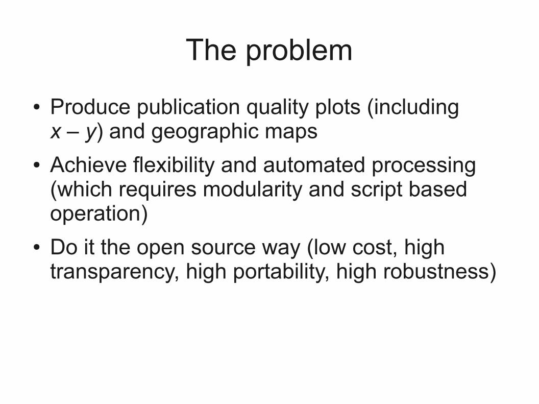
The problem
● Produce publication quality plots (including x – y) and geographic maps
● Achieve flexibility and automated processing (which requires modularity and script based operation)
● Do it the open source way (low cost, high transparency, high portability, high robustness)
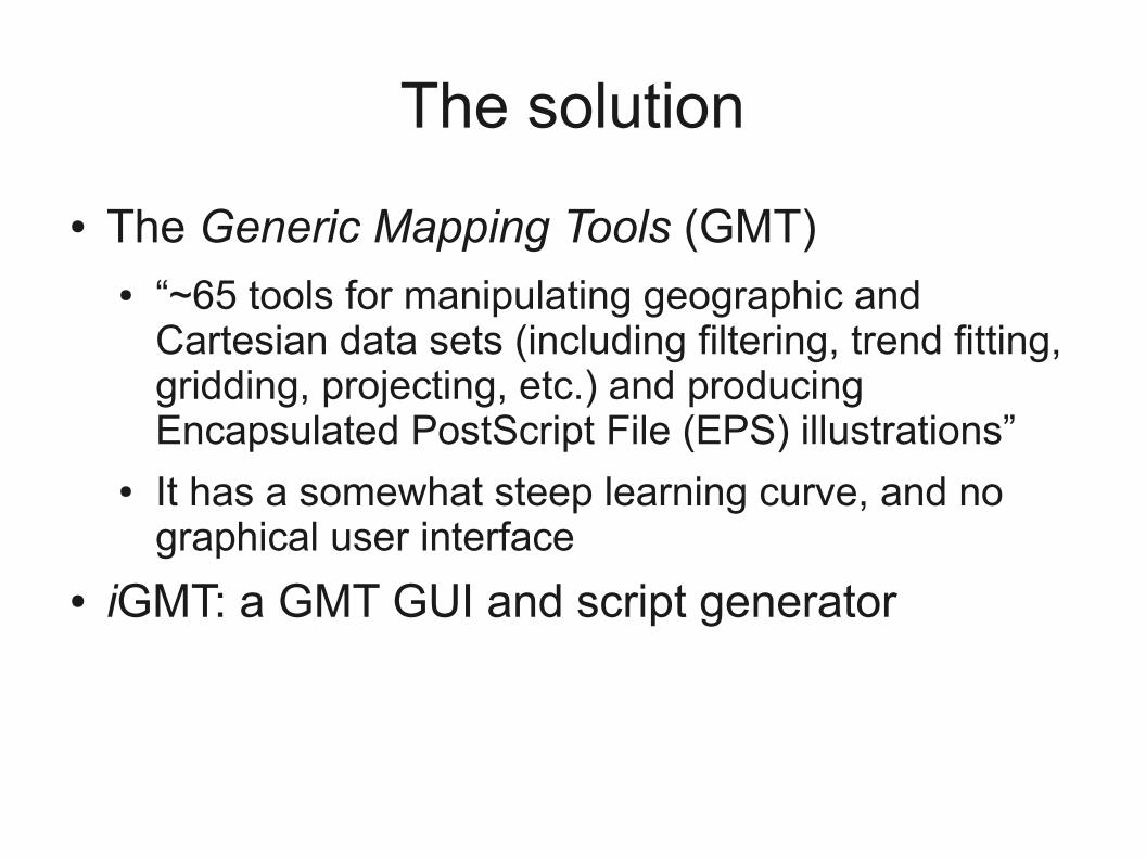
The solution
● The Generic Mapping Tools (GMT)● “~65 tools for manipulating geographic and
Cartesian data sets (including filtering, trend fitting, gridding, projecting, etc.) and producing Encapsulated PostScript File (EPS) illustrations”
● It has a somewhat steep learning curve, and no graphical user interface
● iGMT: a GMT GUI and script generator
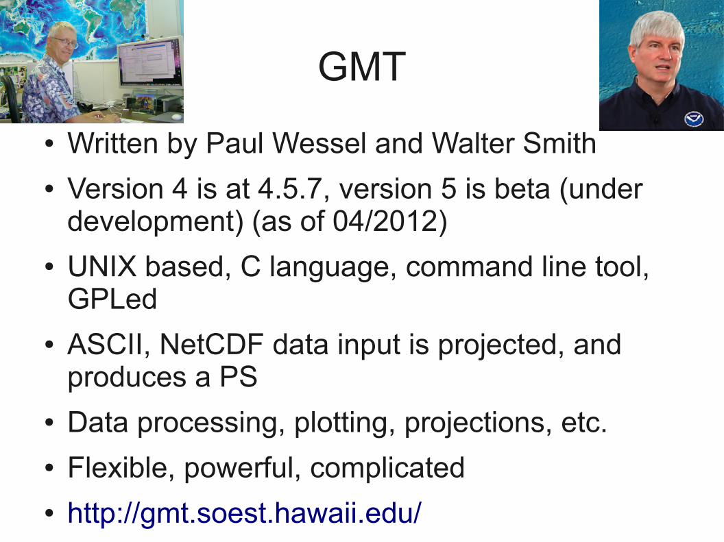
GMT
● Written by Paul Wessel and Walter Smith● Version 4 is at 4.5.7, version 5 is beta (under
development) (as of 04/2012)● UNIX based, C language, command line tool,
GPLed● ASCII, NetCDF data input is projected, and
produces a PS● Data processing, plotting, projections, etc.● Flexible, powerful, complicated● http://gmt.soest.hawaii.edu/
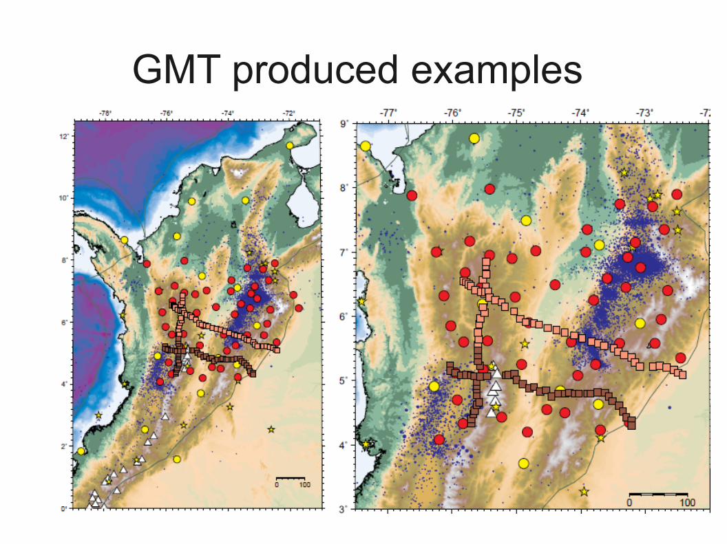
GMT produced examples
Examples
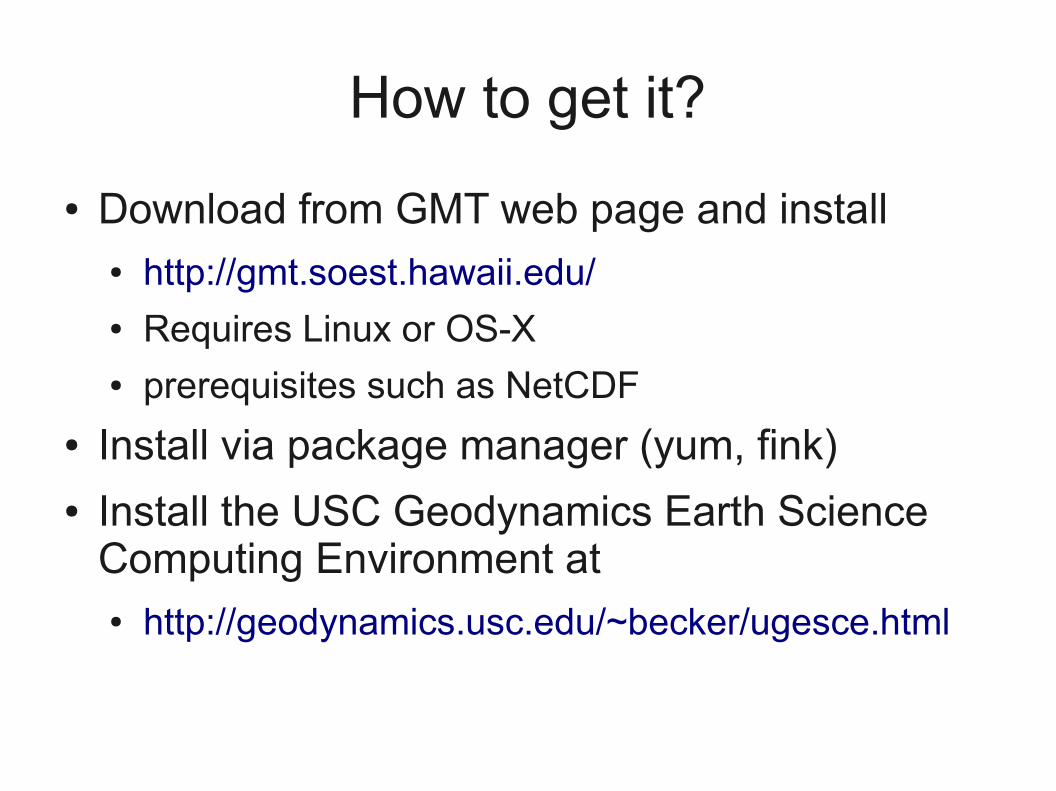
How to get it?
● Download from GMT web page and install● http://gmt.soest.hawaii.edu/ ● Requires Linux or OS-X● prerequisites such as NetCDF
● Install via package manager (yum, fink)● Install the USC Geodynamics Earth Science
Computing Environment at● http://geodynamics.usc.edu/~becker/ugesce.html
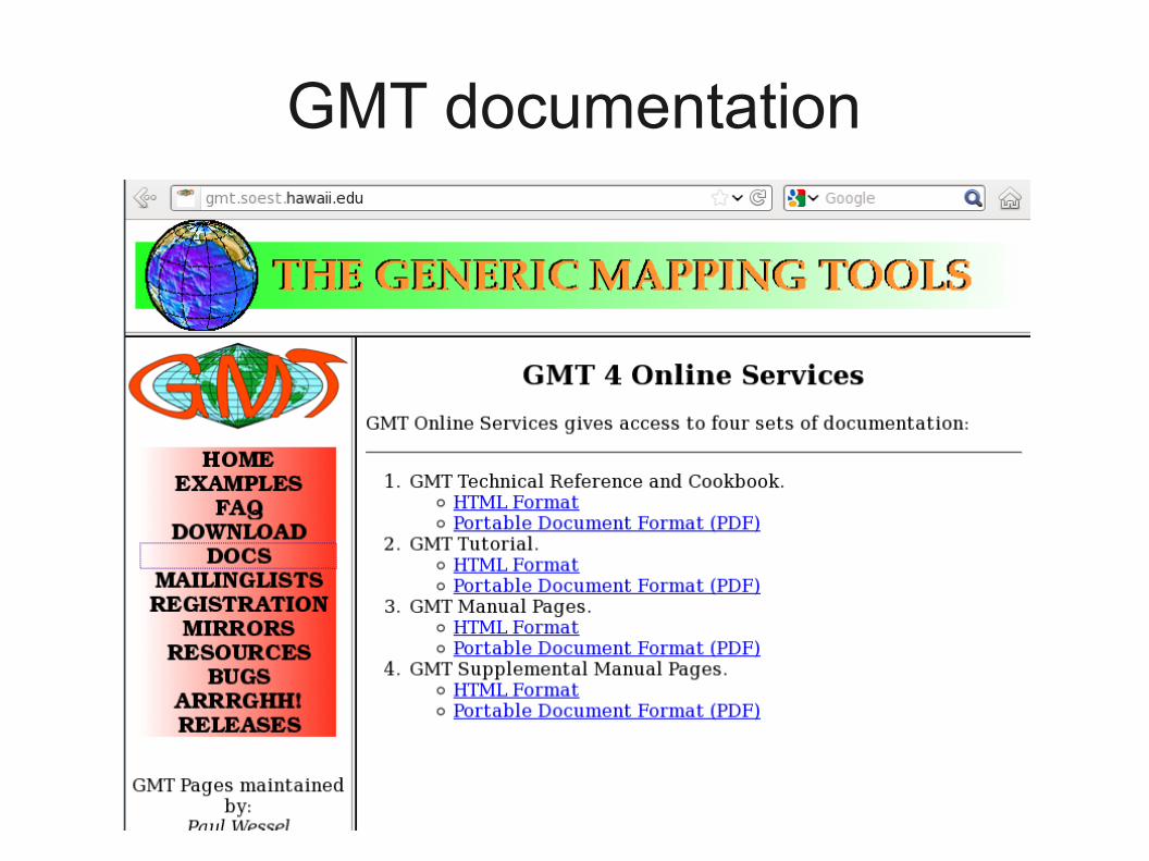
GMT documentation
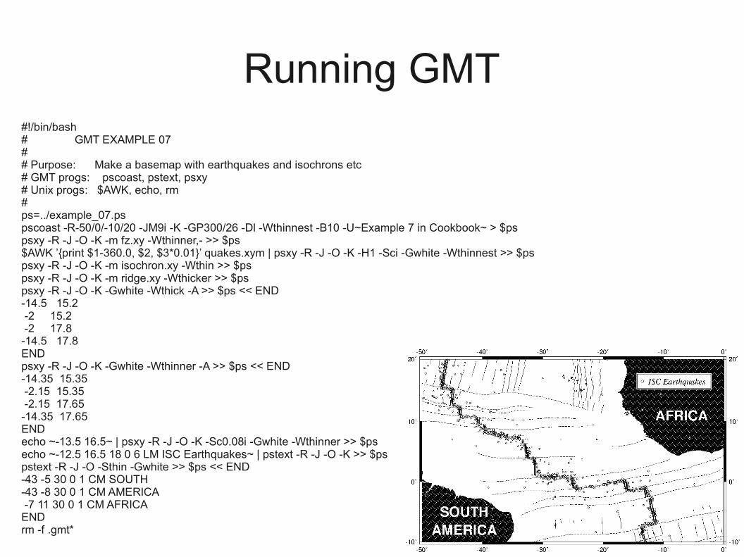
Running GMT#!/bin/bash # GMT EXAMPLE 07 # # Purpose: Make a basemap with earthquakes and isochrons etc # GMT progs: pscoast, pstext, psxy # Unix progs: $AWK, echo, rm # ps=../example_07.ps pscoast -R-50/0/-10/20 -JM9i -K -GP300/26 -Dl -Wthinnest -B10 -U~Example 7 in Cookbook~ > $ps psxy -R -J -O -K -m fz.xy -Wthinner,- >> $ps $AWK ’{print $1-360.0, $2, $3*0.01}’ quakes.xym | psxy -R -J -O -K -H1 -Sci -Gwhite -Wthinnest >> $ps psxy -R -J -O -K -m isochron.xy -Wthin >> $ps psxy -R -J -O -K -m ridge.xy -Wthicker >> $ps psxy -R -J -O -K -Gwhite -Wthick -A >> $ps << END -14.5 15.2 -2 15.2 -2 17.8 -14.5 17.8 END psxy -R -J -O -K -Gwhite -Wthinner -A >> $ps << END -14.35 15.35 -2.15 15.35 -2.15 17.65 -14.35 17.65 END echo ~-13.5 16.5~ | psxy -R -J -O -K -Sc0.08i -Gwhite -Wthinner >> $ps echo ~-12.5 16.5 18 0 6 LM ISC Earthquakes~ | pstext -R -J -O -K >> $ps pstext -R -J -O -Sthin -Gwhite >> $ps << END -43 -5 30 0 1 CM SOUTH -43 -8 30 0 1 CM AMERICA -7 11 30 0 1 CM AFRICA END rm -f .gmt*
WTF is happening here?
● UNIX uses shell/shell script interactions with the OS system, traditionally
● This is a good thing, but can take some time to get used to
● Check out some UNIX introduction, e.g.● http://geodynamics.usc.edu/~becker/teaching/unix/lecture1.pdf
● http://geodynamics.usc.edu/~becker/teaching/unix/lecture2.pdf
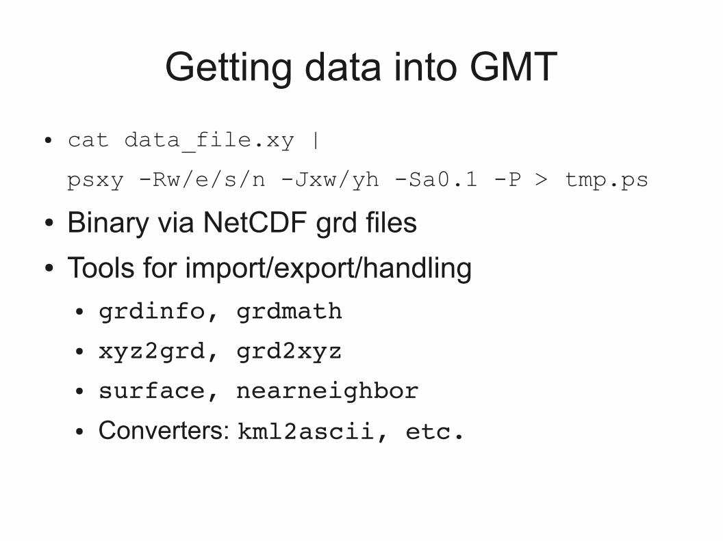
Getting data into GMT
● cat data_file.xy |
psxy -Rw/e/s/n -Jxw/yh -Sa0.1 -P > tmp.ps
● Binary via NetCDF grd files● Tools for import/export/handling
● grdinfo, grdmath● xyz2grd, grd2xyz● surface, nearneighbor● Converters: kml2ascii, etc.
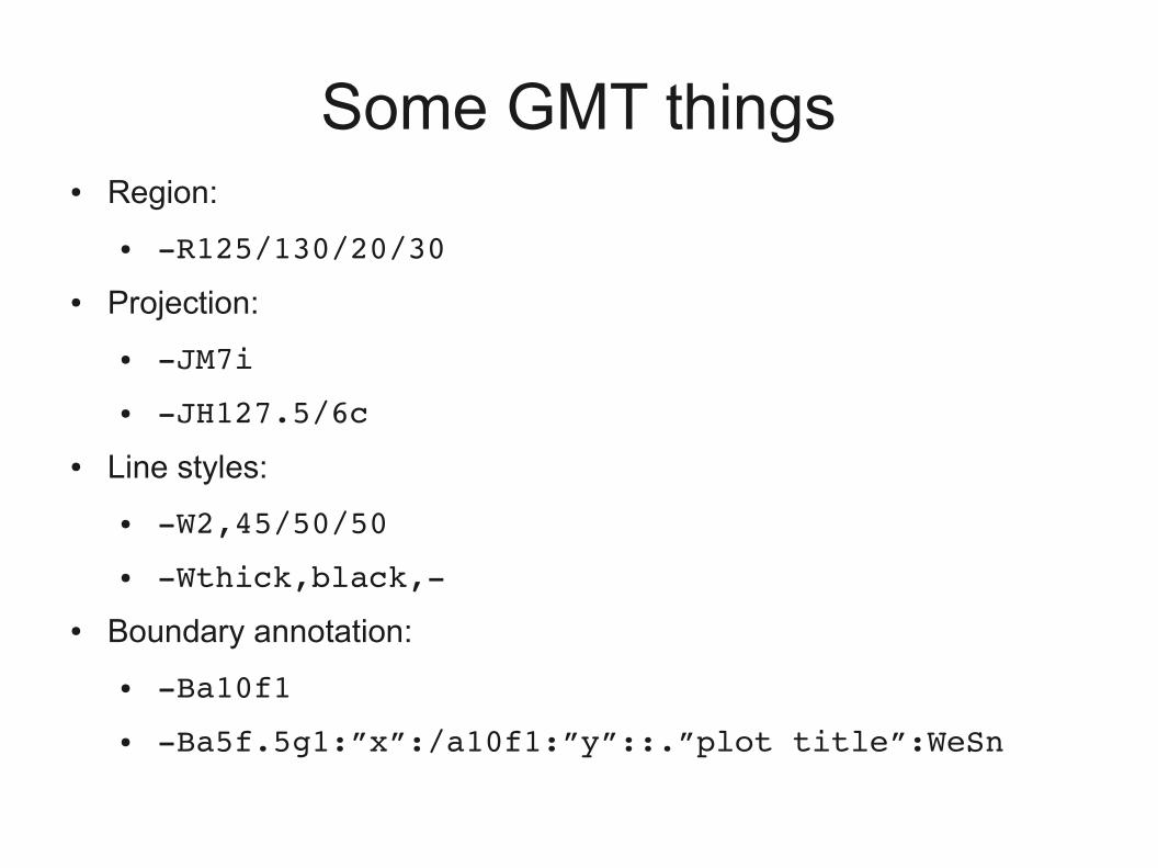
Some GMT things● Region:
● R125/130/20/30
● Projection:
● JM7i
● JH127.5/6c
● Line styles:
● W2,45/50/50
● Wthick,black,
● Boundary annotation:
● Ba10f1
● Ba5f.5g1:”x”:/a10f1:”y”::.”plot title”:WeSn
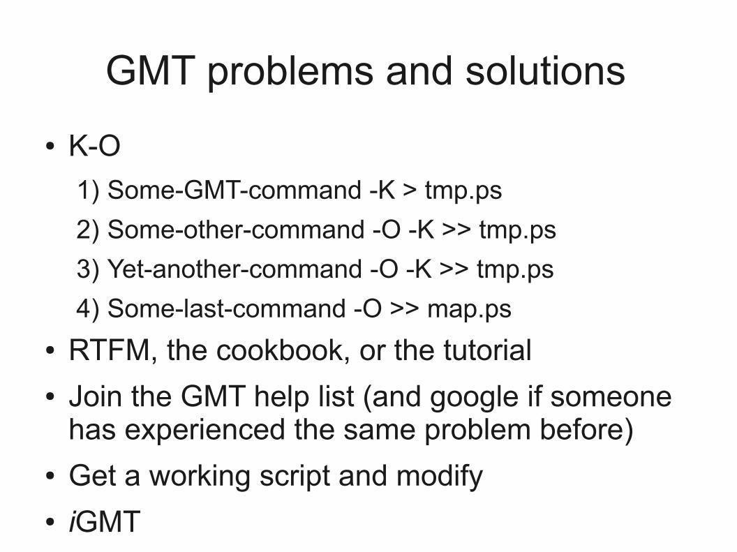
GMT problems and solutions
● K-O
1) Some-GMT-command -K > tmp.ps
2) Some-other-command -O -K >> tmp.ps
3) Yet-another-command -O -K >> tmp.ps
4) Some-last-command -O >> map.ps
● RTFM, the cookbook, or the tutorial● Join the GMT help list (and google if someone
has experienced the same problem before)● Get a working script and modify● iGMT
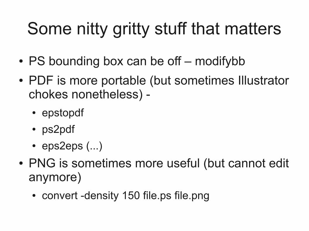
Some nitty gritty stuff that matters
● PS bounding box can be off – modifybb● PDF is more portable (but sometimes Illustrator
chokes nonetheless) - ● epstopdf● ps2pdf● eps2eps (...)
● PNG is sometimes more useful (but cannot edit anymore)● convert -density 150 file.ps file.png
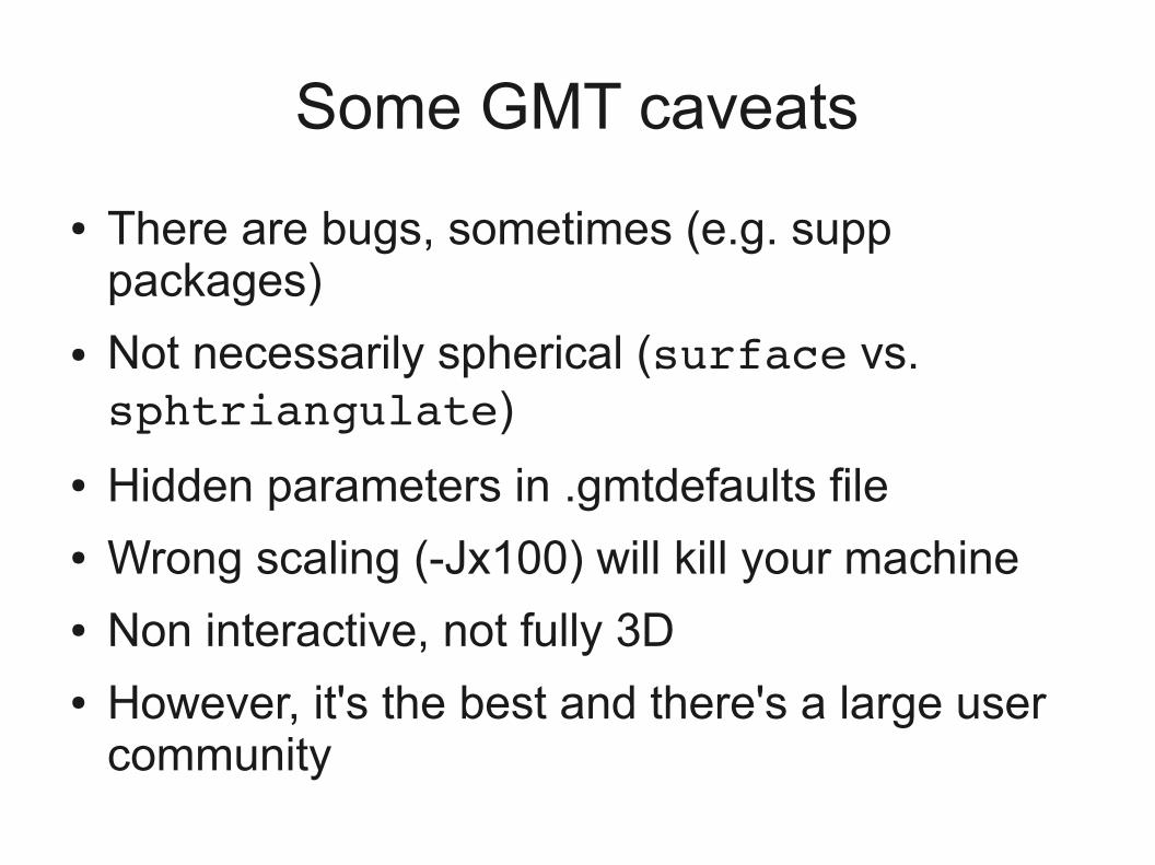
Some GMT caveats
● There are bugs, sometimes (e.g. supp packages)
● Not necessarily spherical (surface vs. sphtriangulate)
● Hidden parameters in .gmtdefaults file● Wrong scaling (-Jx100) will kill your machine● Non interactive, not fully 3D● However, it's the best and there's a large user
community
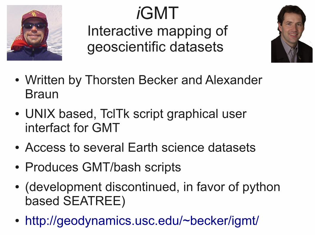
iGMTInteractive mapping ofgeoscientific datasets
● Written by Thorsten Becker and Alexander Braun
● UNIX based, TclTk script graphical user interfact for GMT
● Access to several Earth science datasets● Produces GMT/bash scripts● (development discontinued, in favor of python
based SEATREE)● http://geodynamics.usc.edu/~becker/igmt/
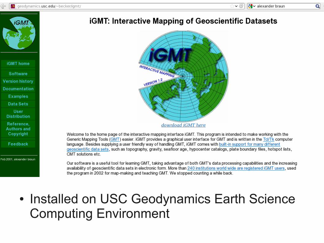
● Installed on USC Geodynamics Earth Science Computing Environment
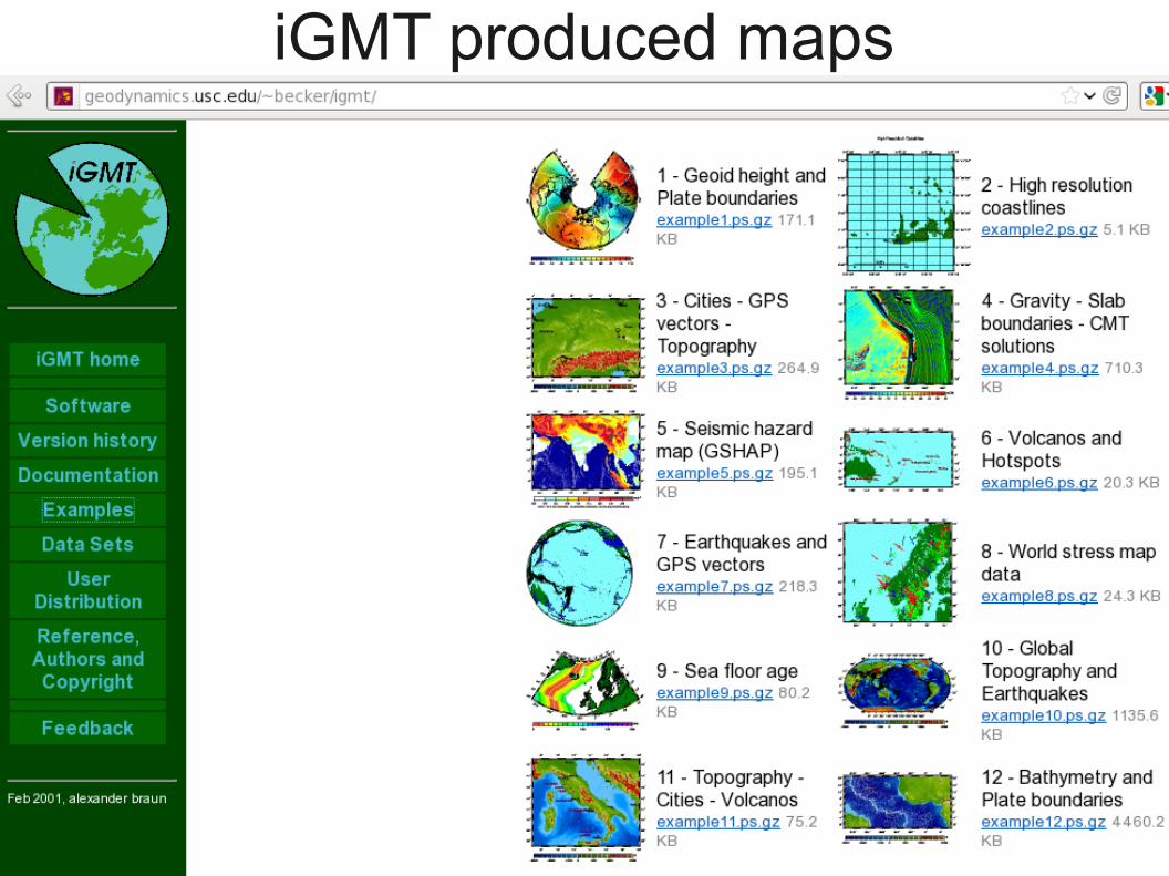
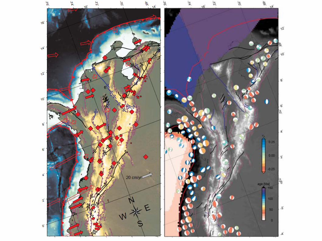
iGMT produced maps
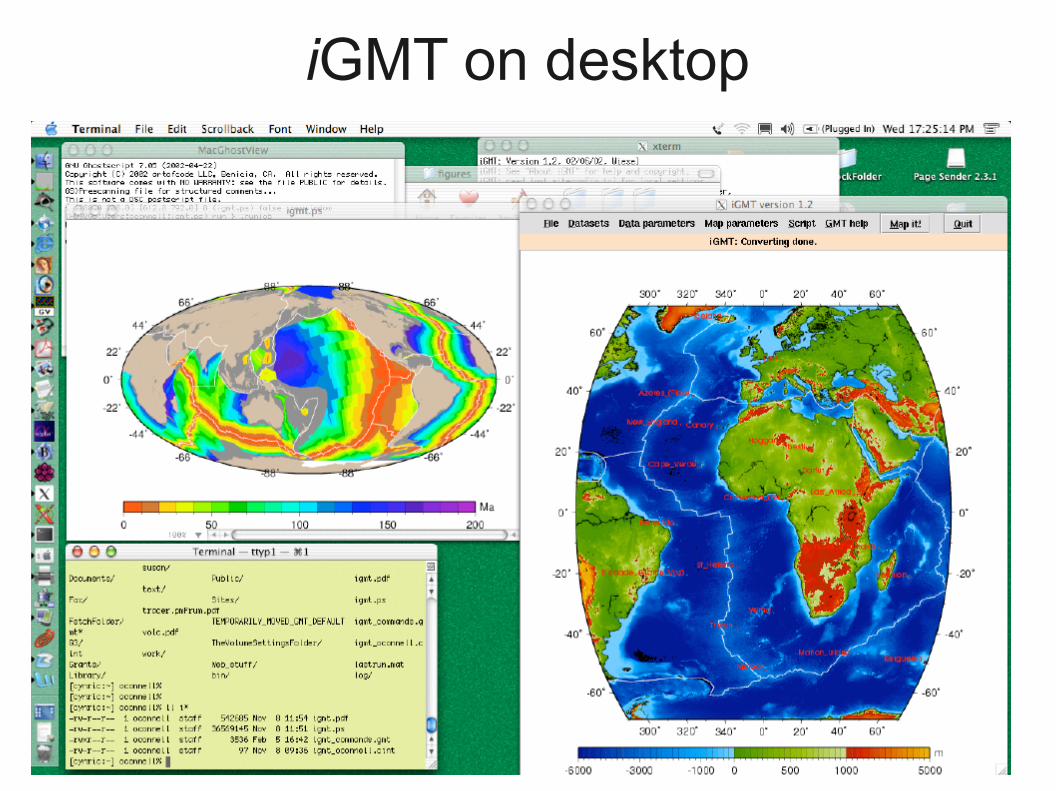
iGMT on desktop
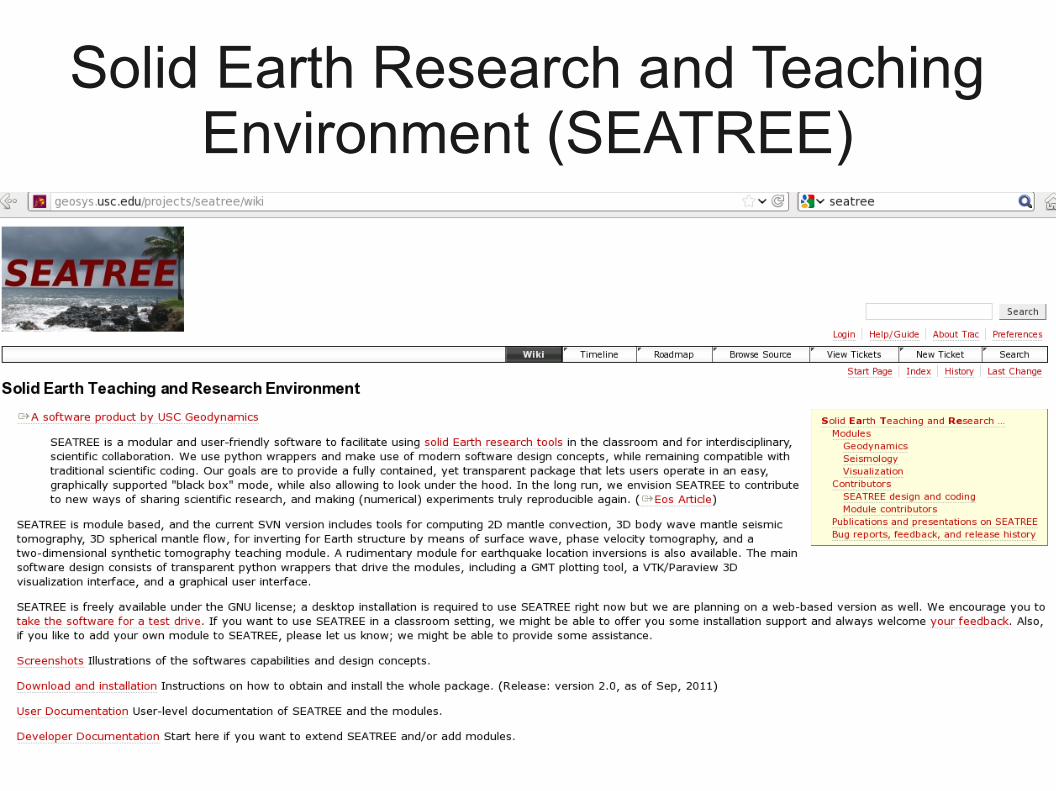
Solid Earth Research and Teaching Environment (SEATREE)
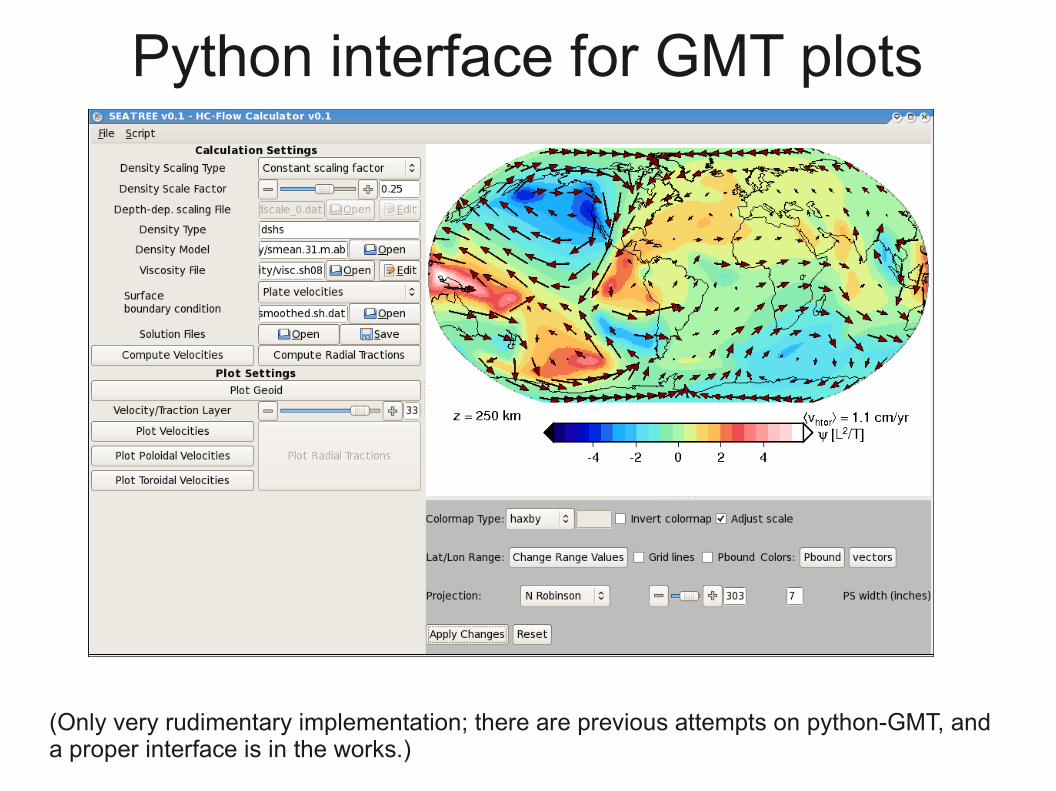
Python interface for GMT plots
(Only very rudimentary implementation; there are previous attempts on python-GMT, anda proper interface is in the works.)