Embed Size (px)
Citation preview
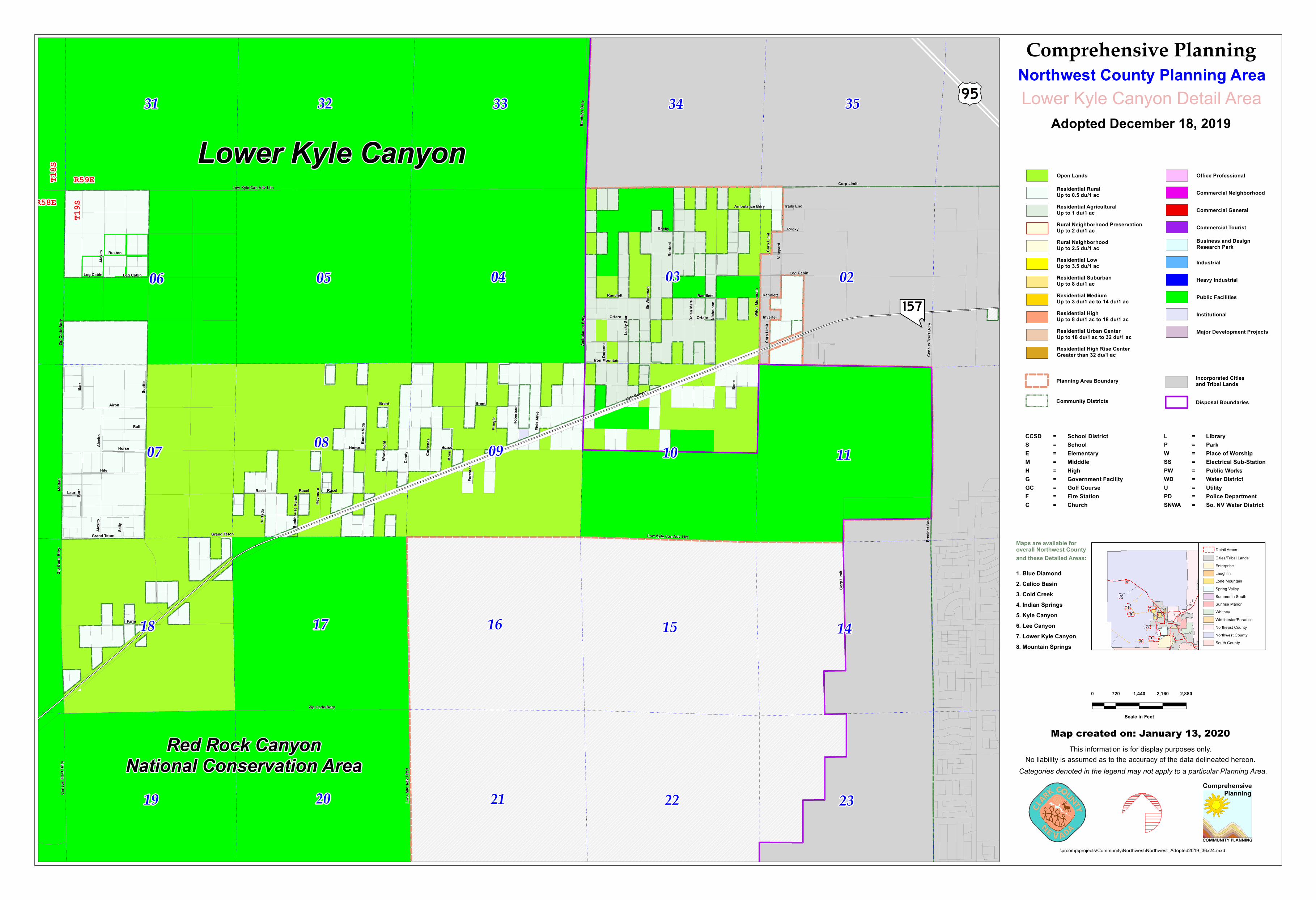
Kyle Canyon
Corp
Limi
t
Scot
tie
Low Kyle Can Adv Lim
Zip Code Bdry
Hite
Log Cabin
Lone
Mtn
Adv
Limi
t
Buen
a Vida
Brent
Viney
ard
Airon
Nich
olson
Luck
y Star
Batta
lion B
dry
Barr
Bene
Ruston
Pring
le
Cand
y
Woolb
right
Cens
us Tr
act B
dry
Horse
Farm
Grand Teton
Card
enas
Hurta
do
Witch
Mou
ntain
Alex
ito Rant
ool
Robe
rtson
Reym
ore
Moss
Ambulance Bdry
Rafi
Sally
RacelLauri
Sir W
einma
n
OHare
Rocky
Randlett
Iron Mountain
Moffa
tt
Elvis
Alive
Inverter
Fore
ster
Dore
nne
Trails End
Bunk
hous
e Ran
ch
Dolan
Mar
tin
Prec
inct B
dry
Cens
us Tr
act B
dry
Randlett
Racel
Log CabinLog Cabin
Corp Limit
Brent
Racel
Randlett
Low Kyle Can Adv Lim
Horse
Grand Teton
Alex
ito
Ambu
lance
Bdr
y
Zip C
ode B
dry
OHare
Corp
Limi
t
Alex
ito
Barr
Horse
Corp
Limi
t
Zip C
ode B
dry
Rocky
\prcomp\projects\Community\Northwest\Northwest_Adopted2019_36x24.mxd
Map created on: January 13, 2020
0 720 1,440 2,160 2,880
Scale in Feet
Open Lands
Residential RuralUp to 0.5 du/1 acResidential AgriculturalUp to 1 du/1 acRural Neighborhood PreservationUp to 2 du/1 acRural NeighborhoodUp to 2.5 du/1 acResidential LowUp to 3.5 du/1 acResidential SuburbanUp to 8 du/1 acResidential MediumUp to 3 du/1 ac to 14 du/1 acResidential HighUp to 8 du/1 ac to 18 du/1 acResidential Urban CenterUp to 18 du/1 ac to 32 du/1 acResidential High Rise CenterGreater than 32 du/1 ac
Office Professional
Commercial Neighborhood
Commercial General
Commercial Tourist
Business and Design Research Park
Industrial
Heavy Industrial
Public Facilities
Institutional
Major Development Projects
Planning Area Boundary
Community Districts
Incorporated Citiesand Tribal Lands
Disposal Boundaries
Comprehensive Planning
Adopted December 18, 2019
Northwest County Planning Area
Maps are available for overall Northwest Countyand these Detailed Areas:
1. Blue Diamond2. Calico Basin3. Cold Creek4. Indian Springs5. Kyle Canyon6. Lee Canyon7. Lower Kyle Canyon8. Mountain Springs
This information is for display purposes only.No liability is assumed as to the accuracy of the data delineated hereon.
Categories denoted in the legend may not apply to a particular Planning Area.
1
2
3
4
56
8
7
Detail AreasCities/Tribal LandsEnterpriseLaughlinLone MountainSpring ValleySummerlin SouthSunrise ManorWhitney
Northeast CountyNorthwest CountySouth County
Winchester/Paradise
Lower Kyle Canyon Detail Area
LPWSSPWWDUPDSNWA
=========
LibraryParkPlace of WorshipElectrical Sub-StationPublic WorksWater DistrictUtilityPolice DepartmentSo. NV Water District
CCSDSEMHGGCFC
=========
School DistrictSchoolElementaryMidddleHighGovernment FacilityGolf CourseFire StationChurch