Embed Size (px)
Citation preview
F E B R U A R Y 2 0 2 1LOCUSCHARTER
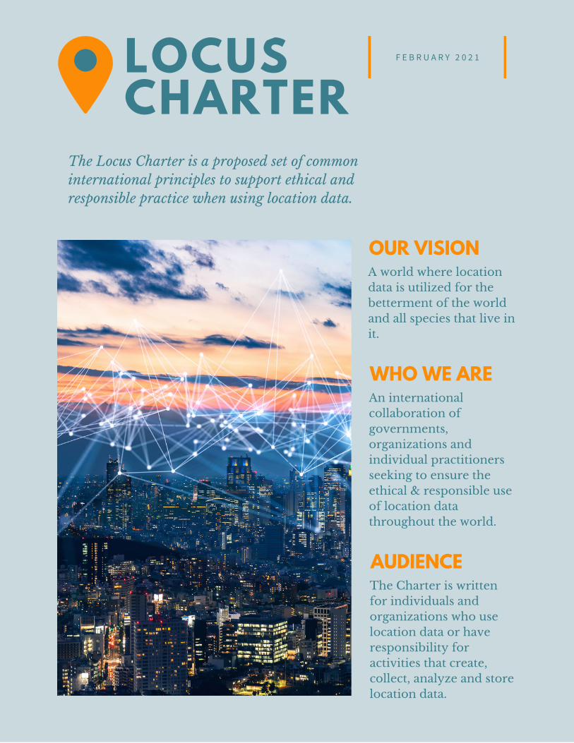
The Locus Charter is a proposed set of commoninternational principles to support ethical andresponsible practice when using location data.
OUR VISIONA world where locationdata is utilized for thebetterment of the worldand all species that live init.
WHO WE AREAn internationalcollaboration ofgovernments,organizations andindividual practitionersseeking to ensure theethical & responsible useof location datathroughout the world.
AUDIENCEThe Charter is writtenfor individuals andorganizations who uselocation data or haveresponsibility foractivities that create,collect, analyze and storelocation data.
Data about places and people in places has anever-increasing range of uses. One personcan be at the same time the user of a mobilemap, and the object of tracking in digitalmapping by many organizations they are notaware of. The proliferation of mappingserves many purposes, with diverse costs andbenefits, from street, up to city, national andinternational scale. How the costs andbenefits from mass and multiple use oflocation data are distributed is a newdimension of power relations. Ubiquitousdigital mapping can serve individualfreedoms, but can also intensify imbalancesof power.
There is already widespread concern -among the public, the media, governmentsand professionals in many fields - aboutpotential negative effects from the dataecosystems that now operate around us. It isnow clear that data-driven applications cancome with specific kinds of risks, includingof undue manipulation, discrimination,opacity, and undermining personal privacy.
The field of data ethics is concerned withidentifying the risks and developingmitigations, to support responsible use ofdata.
Targeted data ethics principles andguidelines can improve understanding ofrights, obligations and responsibilities, andsupport better decisions. Ethical guidelinesare evolving for different contexts (eghealthcare; online platforms), professions (egdata scientist; researcher; manager), orcategories of data (personal medical; onlineconsumer; financial).
At present, there is no common set ofguidelines for responsible use of locationdata. This is a serious gap. Ethical principlesare not new in mapping, but the number,variety and accessibility of digital mappinghas created risks and opportunities that arenew in kind and scale. Users of location datashould have help to understand potentialharms from their activity, to manage risks,and communicate how they make sensitivedecisions.
The Locus Charter proposes that wider, shared understanding ofrisks and solutions relating to uses of location data can improvestandards of practice, and help protect individuals and the publicinterest. We hope the Charter can improve understanding of risk,so those can be managed, and the many benefits of geospatialtechnologies can be realized for individuals and societies. “Locus”is the Latin word for “place.”
LOCUSCHARTER
P R E A M B L E2
WHY NOW?
Geospatial technologies are developingalongside Artificial Intelligence, the Internetof Things, and Robotics. Users should be aswell informed about risks as users of thosetechnologies are increasingly expected to be.The Geospatial Revolution is a major factorin the latest wave of digital transformationthat is extending digital capabilities muchfurther into the physical world, and weavingtogether on- and offline into new forms.Both in terms of new capabilities and and ofnew risks, considerations about X,Y,Z & Tmay now require the same attention in dataethics, as those around ones and zeroesonline have in recent years.
We can learn from data ethics developmentin other fields, and adapt and develop thoseto support use of location data. Thedevelopment of this Charter has beeninformed by the extensive work alreadydone on data ethics in many fields.
Many of the sources of potential harmidentified in other fields can occur inrelation to location data, including bias indatasets, privacy intrusion, and misuse ofpower imbalances in markets. But while theexamples are very useful, it is important torecognize that risks relating to use oflocation data can have impacts that arespecific to those uses, to people and toplaces. To be followed around where you goin the world has parallels with being trackedaround the internet, but it is not the samething. Also, while a lot of data regulation isframed around the rights of individuals, useof location data can affect groups of people,including some already under pressuresrelating to where they are, like refugees andother migrants. Location data lends specificpowers, which can imply specificresponsibilities.
P R E A M B L E3
LOCUSCHARTER
We hope the Locus Charter will stimulatediscussion, debate, and a community ofcommitment to ethics around location.
We believe that common understanding ofrisks and potential solutions will helpgeospatial data professionals make better,more informed decisions. Discussions withmajor sector groups and organizations andour own work all suggest that geospatial dataprofessionals - like people in other datasectors - believe in making applications workbetter for society, but most have hadrelatively little training on data ethics inpractice. In any case, the potential impacts ofuses of data change as more data and moregranular data becomes available. Ourexperiences throughout the BenchmarkInitiative and EthicalGEO have been thatthese professionals will value practical toolsand terms for understanding ethicalquestions, resolving any conflicts and risks,and informing their own decisions on whatresponsible practice is in particularsituations.
Digitization and datafication are advancingat speed, changing impacts and benefits innew areas, and changing what is possible andwhat is desirable. Converging technologiesare particularly hard to predict. Principlesand guidelines sometimes need to evolvetoo. We hope that the Locus Charter candeliver a useful stage in the evolution ofgeospatial applications, and help to bringtogether the parallel work being done ongood practice in different geospatialapplication areas, and in different fora.
We believe that we can all make betterdecisions if many perspectives from allaround the world are brought together in ashared expression of what characterizesresponsible and informed professionalpractice with location data.
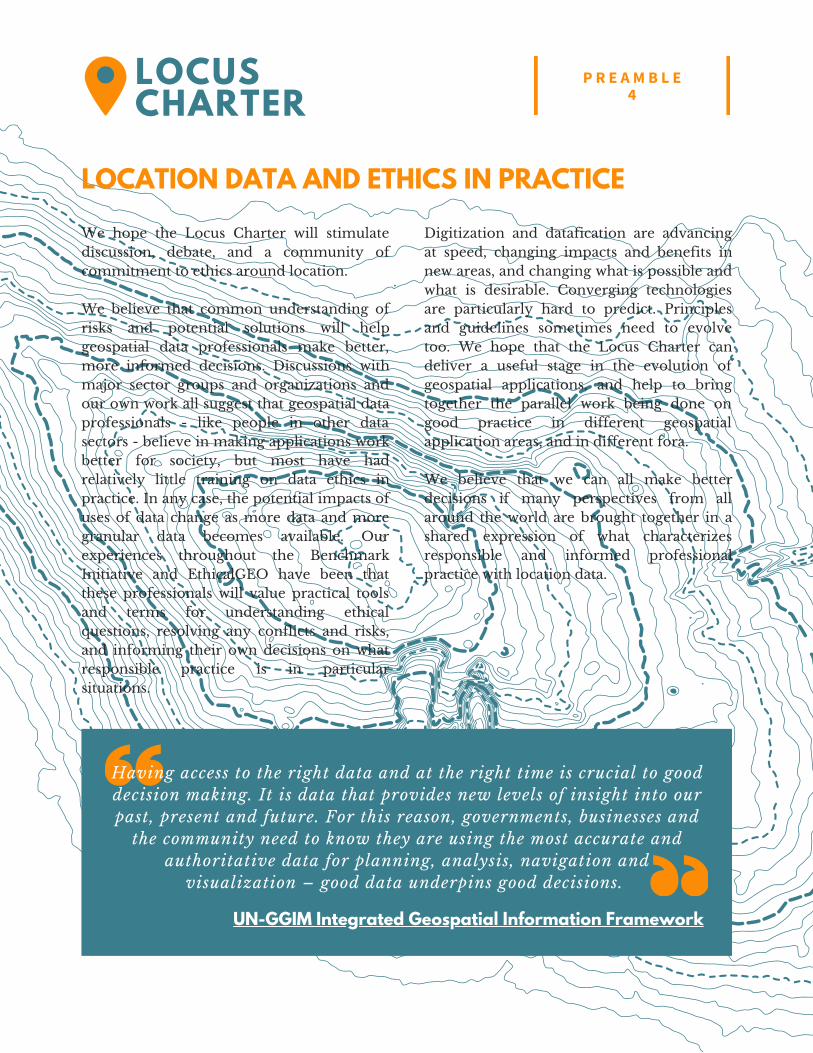
Having access to the right data and at the right time is crucial to gooddecision making. It is data that provides new levels of insight into ourpast, present and future. For this reason, governments, businesses and
the community need to know they are using the most accurate andauthoritative data for planning, analysis, navigation and
visualization – good data underpins good decisions.
UN-GGIM Integrated Geospatial Information Framework
LOCATION DATA AND ETHICS IN PRACTICE
P R E A M B L E4
LOCUSCHARTER
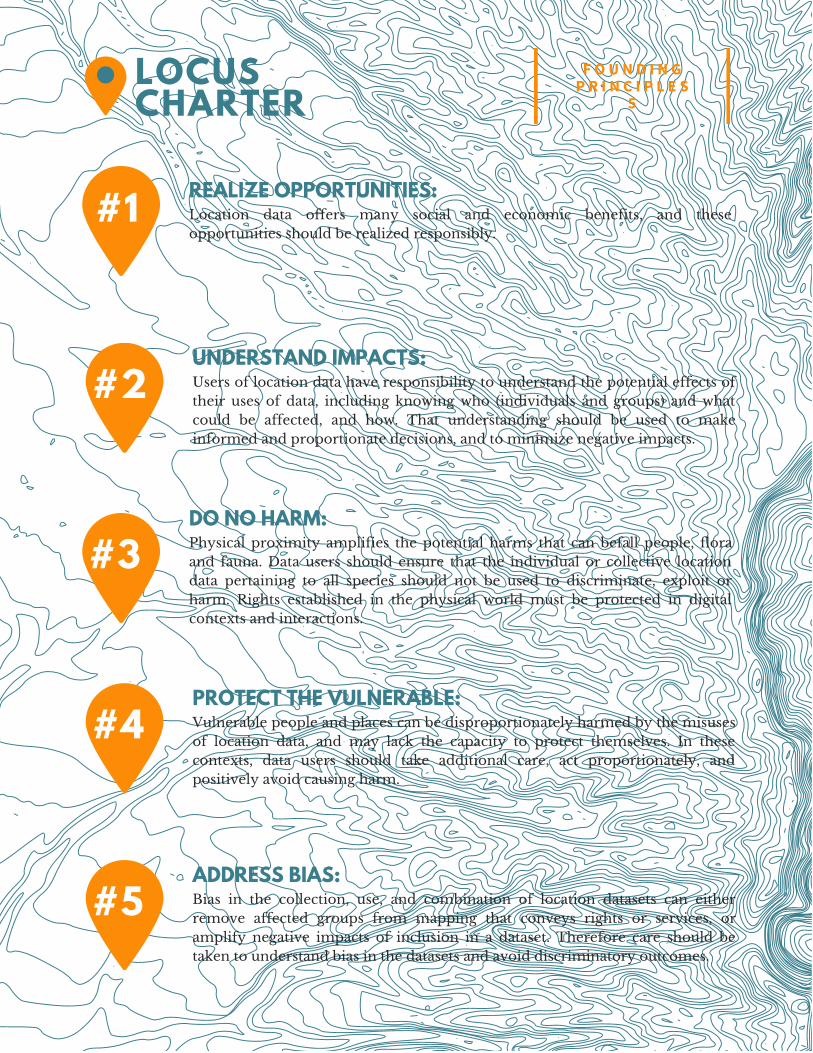
#1 REALIZE OPPORTUNITIES: Location data offers many social and economic benefits, and theseopportunities should be realized responsibly.
#2UNDERSTAND IMPACTS: Users of location data have responsibility to understand the potential effects oftheir uses of data, including knowing who (individuals and groups) and whatcould be affected, and how. That understanding should be used to makeinformed and proportionate decisions, and to minimize negative impacts.
#3DO NO HARM: Physical proximity amplifies the potential harms that can befall people, floraand fauna. Data users should ensure that the individual or collective locationdata pertaining to all species should not be used to discriminate, exploit orharm. Rights established in the physical world must be protected in digitalcontexts and interactions.
#4PROTECT THE VULNERABLE: Vulnerable people and places can be disproportionately harmed by the misusesof location data, and may lack the capacity to protect themselves. In thesecontexts, data users should take additional care, act proportionately, andpositively avoid causing harm.
#5ADDRESS BIAS: Bias in the collection, use, and combination of location datasets can eitherremove affected groups from mapping that conveys rights or services, oramplify negative impacts of inclusion in a dataset. Therefore care should betaken to understand bias in the datasets and avoid discriminatory outcomes.
F O U N D I N GP R I N C I P L E S
5LOCUSCHARTER
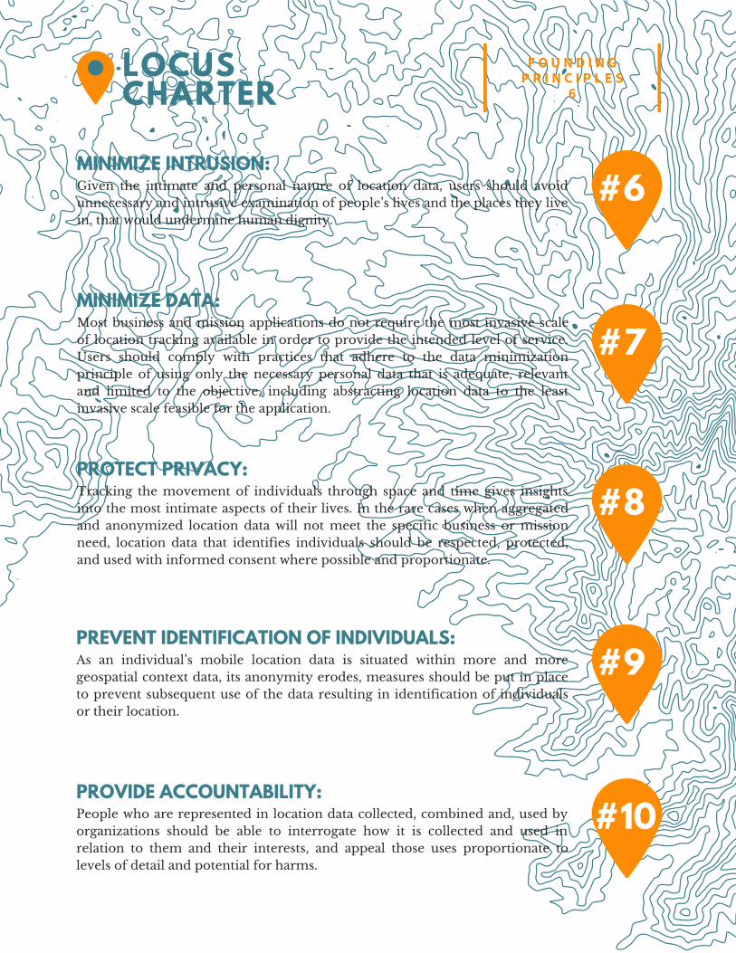
#6MINIMIZE INTRUSION: Given the intimate and personal nature of location data, users should avoidunnecessary and intrusive examination of people’s lives and the places they livein, that would undermine human dignity.
#7MINIMIZE DATA: Most business and mission applications do not require the most invasive scaleof location tracking available in order to provide the intended level of service.Users should comply with practices that adhere to the data minimizationprinciple of using only the necessary personal data that is adequate, relevantand limited to the objective, including abstracting location data to the leastinvasive scale feasible for the application.
#8PROTECT PRIVACY: Tracking the movement of individuals through space and time gives insightsinto the most intimate aspects of their lives. In the rare cases when aggregatedand anonymized location data will not meet the specific business or missionneed, location data that identifies individuals should be respected, protected,and used with informed consent where possible and proportionate.
#9PREVENT IDENTIFICATION OF INDIVIDUALS: As an individual’s mobile location data is situated within more and moregeospatial context data, its anonymity erodes, measures should be put in placeto prevent subsequent use of the data resulting in identification of individualsor their location.
#10PROVIDE ACCOUNTABILITY: People who are represented in location data collected, combined and, used byorganizations should be able to interrogate how it is collected and used inrelation to them and their interests, and appeal those uses proportionate tolevels of detail and potential for harms.
F O U N D I N GP R I N C I P L E S
6LOCUSCHARTER
6.
ORGANIZATION / PRACTITIONER PLEDGE
For information about joining the Locus Charter support community, please [email protected].
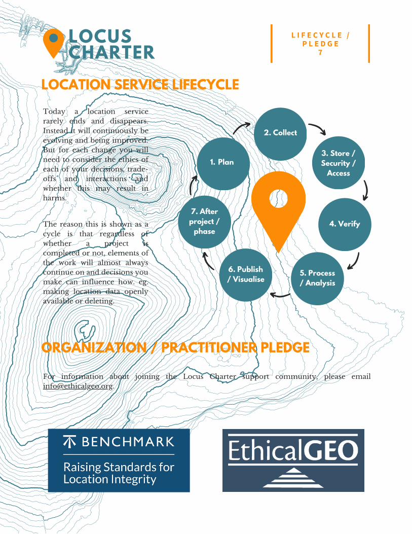
Today a location servicerarely ends and disappears.Instead it will continuously beevolving and being improved.But for each change you willneed to consider the ethics ofeach of your decisions, trade-offs and interactions andwhether this may result inharms.
Plan1.3. Store /Security /
Access
4. Verify
6. Publish/ Visualise
2. Collect
5. Process/ Analysis
7. Afterproject /
phaseThe reason this is shown as acycle is that regardless ofwhether a project iscompleted or not, elements ofthe work will almost alwayscontinue on and decisions youmake can influence how. eg.making location data openlyavailable or deleting.
LOCATION SERVICE LIFECYCLE
L I F E C Y C L E /P L E D G E
7LOCUSCHARTER