Embed Size (px)
Citation preview
Lesson 15B:Lesson 15B: Storm Avoidance Storm Avoidance
Lesson 15B: Storm Lesson 15B: Storm AvoidanceAvoidance
AGENDA:– Storm Avoidance– Weather Reporting– Weather Prediction
Applicable reading: Hobbs WB, App A

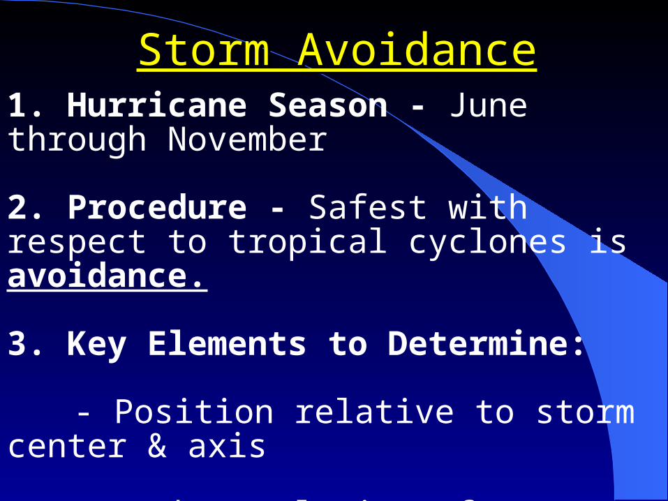
Storm AvoidanceStorm Avoidance1. Hurricane Season - June through November
2. Procedure - Safest with respect to tropical cyclones is avoidance.
3. Key Elements to Determine:
- Position relative to storm center & axis
- Path & velocity of storm’s travel

Storm AvoidanceStorm Avoidance4. Cyclonic Storms - Deflected by the
corriolis effect travel in a clockwise direction (Northern Hemisphere).
5. Storm Division - Storm is divided into 2 parts:- Most Dangerous Semi-circle - side that is
right of storm center and direction of path
- Least Dangerous (Navigable) Semi-circle - side that is left of storm center and
direction of path
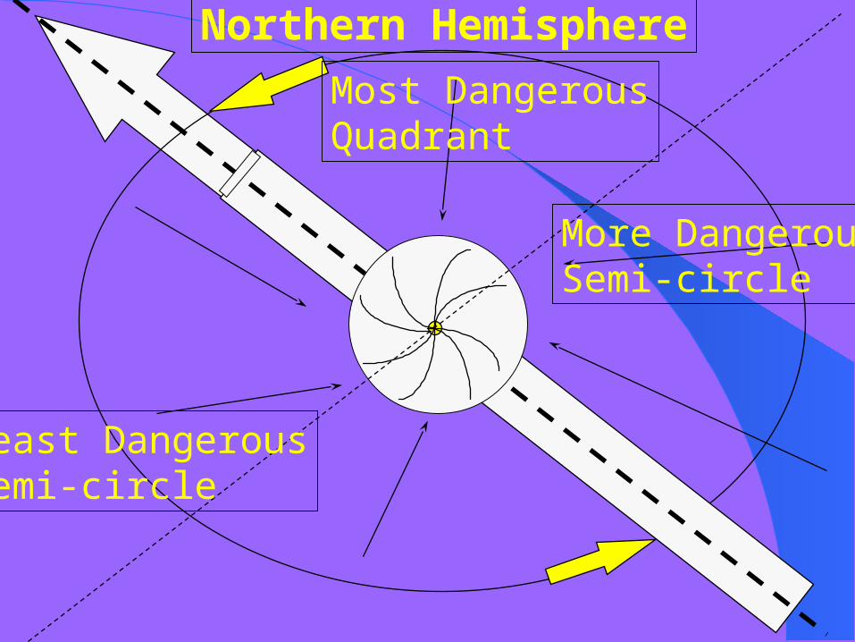
Least DangerousSemi-circle
Most DangerousQuadrant
More DangerousSemi-circle
Northern Hemisphere
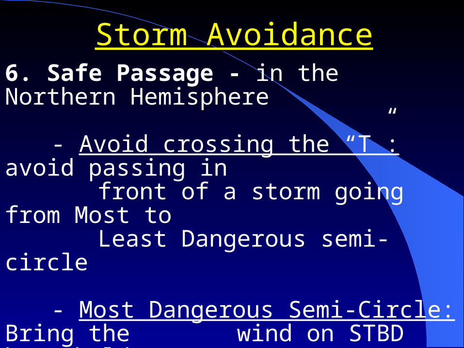
Storm AvoidanceStorm Avoidance6. Safe Passage - in the Northern Hemisphere
- Avoid crossing the “T”: avoid passing in front of a storm going from Most toLeast Dangerous semi-circle
- Most Dangerous Semi-Circle: Bring the
wind on STBD bow, hold course &make best speed.
Storm AvoidanceStorm Avoidance6. Safe Passage - in the Northern Hemisphere
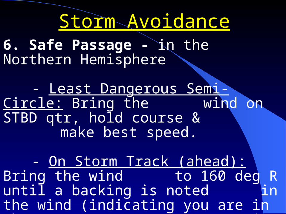
- Least Dangerous Semi-Circle: Bring the wind on STBD qtr, hold course &make best speed.
- On Storm Track (ahead): Bring the wind
to 160 deg R until a backing is noted in the wind (indicating you are in the Least Dangerous Semi-circle), then bring the wind on STBD quarter, hold course & make best speed.
Storm AvoidanceStorm Avoidance6. Safe Passage - in the Northern Hemisphere
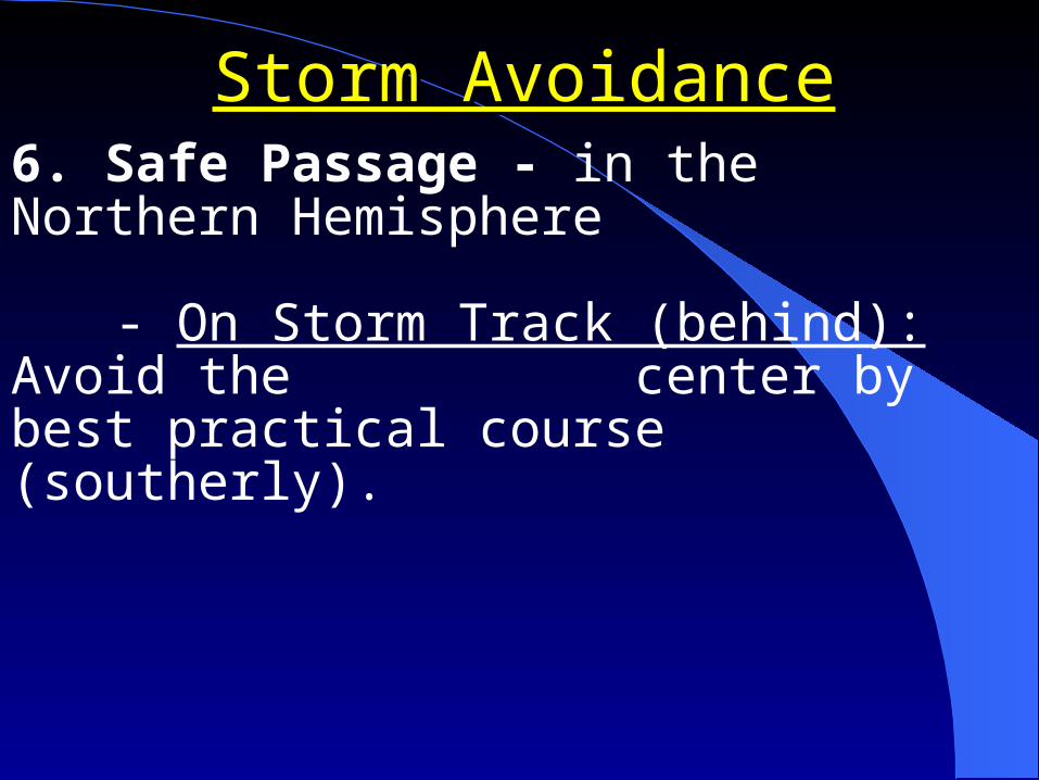
- On Storm Track (behind): Avoid the center by best practical course (southerly).

Ship Observation & ReportingShip Observation & ReportingWeather Observations - Ships are required to
take regular weather observations:
- Observations taken hourly IAW NAVOCEANINST.
- Ships in company, OTC may designate one ship to report observations
- In port with no manned weather facility within 50NM
Ship Observation & ReportingShip Observation & ReportingSynoptic - Formatted weather message:
- Every 6 hours PRIORITY if: surface wind speeds < 33 kts, seas < 12 feet.
- Every 3 hours IMMEDIATE if: surface winds > 33 kts sustained, seas > 12 feet.
- Via plain voice: first indications of a tropical cyclone, unusual or hazardous weather.
Ship Observation & ReportingShip Observation & ReportingWeather Observations - prepared by OOD:
- Type of observation
- Cloud Cover
- Prevailing visibility
- Weather & obstructions to visibility
- Sea level pressure in millibars
Ship Observation & ReportingShip Observation & ReportingWeather Observations - prepared by OOD: (cont.)
- Dry bulb temp in degrees fahrenheit
- Dew point temp in degrees fahrenheit
- True wind direction & speed
- Altimeter setting (if aircraft embarked)
- Remarks

Ship Observation & ReportingShip Observation & ReportingWeather Observations - prepared by OOD: (cont.)
- Station pressure in inches of mercury
- Sea water temp (at sea water injection)
- Sea height, direction and period
- Ice (if applicable)
- Clouds by type, quantity, & height
Services AvailableServices Available1. Tropical Cyclone Alert
2. High Wind and Sea Warning
3. Local Severe-Storm Warning
4. WEAX
5. OTSR - Optimum Track Ships Routing
Weather PredictionWeather Prediction
Broadcast WEAX Messages– High Seas Warnings – Offshore Marine Forecasts– Coastal Marine Forecasts– OPAREA Forecasts
OTSR (Optimum Track Ship Routing)– Tailored track recommendations
National Data Buoy Collection Center– Provides real-time conditions throughout coastal U.S.
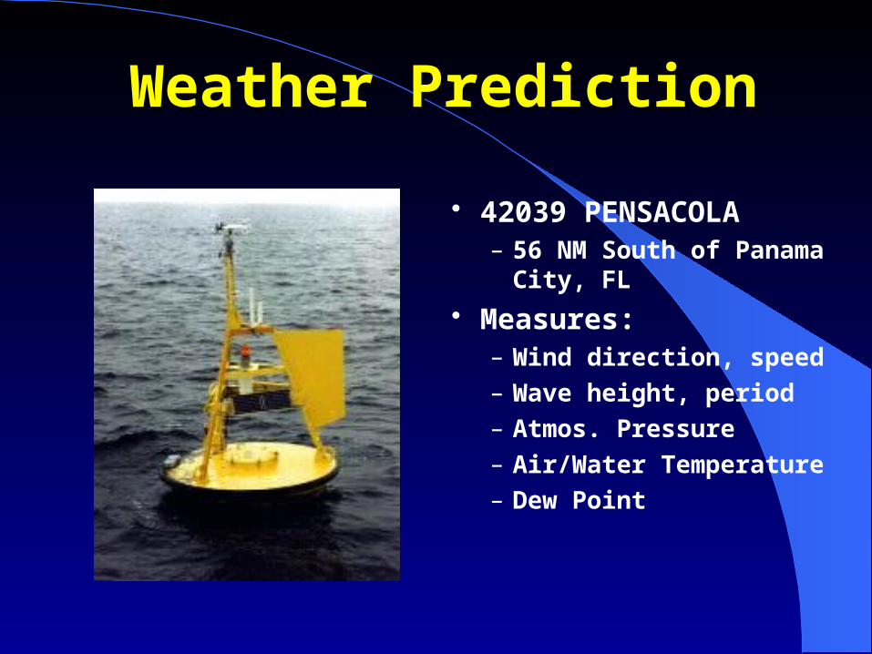
Weather PredictionWeather Prediction
42039 PENSACOLA– 56 NM South of
Panama City, FL
Measures:– Wind direction, speed
– Wave height, period
– Atmos. Pressure
– Air/Water Temperature
– Dew Point
Weather PredictionWeather PredictionHeuristicsHeuristics
Look for changes in wind direction– Veering: clockwise movement– Backing: counter-clockwise movement
Watch 3 hour trend of barometer Note cloud type and direction Monitor dew point spread
Weather PredictionWeather PredictionHeuristicsHeuristics
Buys Ballot Law– To locate High or Low use:
Stand with your back to the wind Turn 15º to the right The LOW is on your left, the HIGH on your right
Red sky at night … sailor’s delight Red sky at morning ... sailors take warning
Review/SummaryReview/Summary
Describe the difference between the dangerous semi-circle and the navigable semi-circle.
What is OTSR used for?

Questions?Questions?