Embed Size (px)
Citation preview
Knysna Fire
Report
Preface
• Two fully manned fire stations
• One sub station
• One Volunteer (Municipal Employee) Karatara
• One Volunteer (Municipal employee) Rheenedal

Five Pillars
• Drought
• Topography
• Fuel
• Berg winds
• Strong winds
Fire on June
1. Kruisfontein Fire at 03h30
2. Lancewood Fire at 04h15
3. Elandskraal Fire at 06h15

Elandskraal fire response
1. Call received at 06h15
2. Karatara Volunteer responded at
06h20
3. Sedgefield on scene at 06h50
Investigation Method
1. First flight over area on morning
of 8 June 2017
2. Emails from R Morris
3. Area investigated
4. Photographed the area
5. Dr W Vosloo report
6. W Sternsdorf report
7. Weather pattern
8. Eye witness interview
Evidence collected
• Emails from relevant residents
• Photos of smouldering fire
• Aerial photos
• Photos of structures in non V Pattern
• Photos of burn scar with V Pattern
• Ground photos
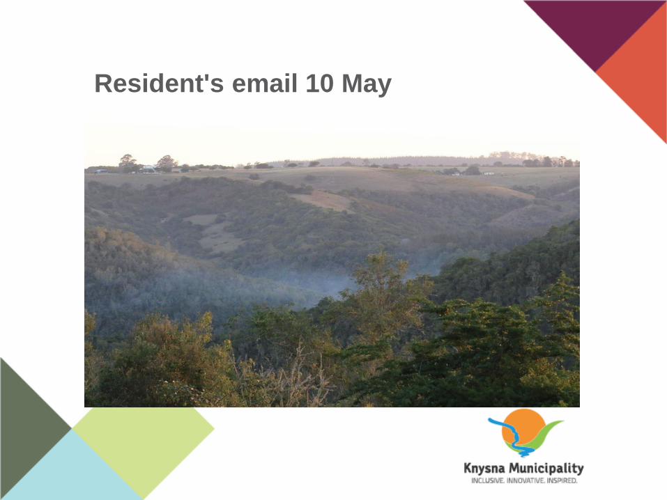
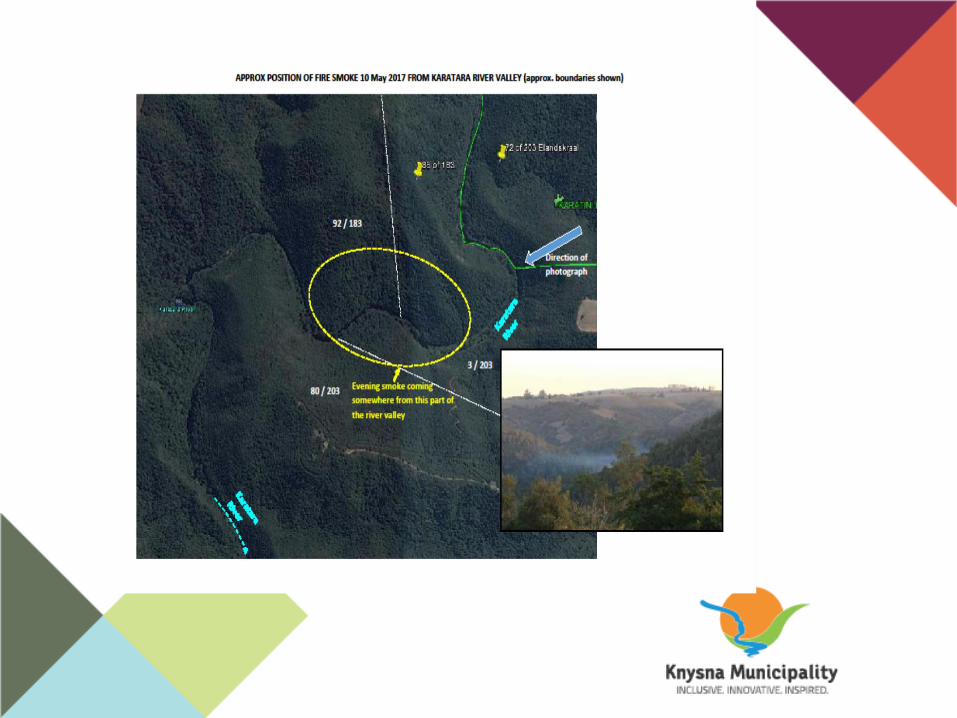
Resident's email 10 May Sub-heading
Sub-heading
Sub-heading
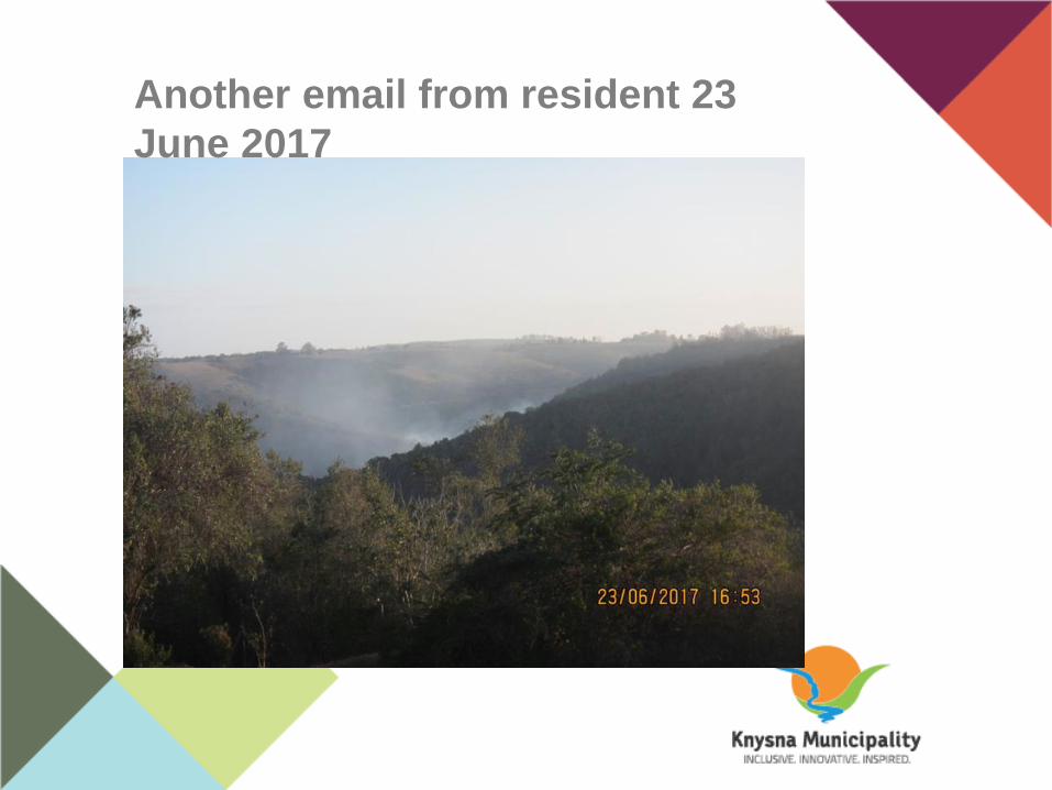
Another email from resident 23
June 2017
PAGE HEADING
Sub-heading
• TEXT HERE
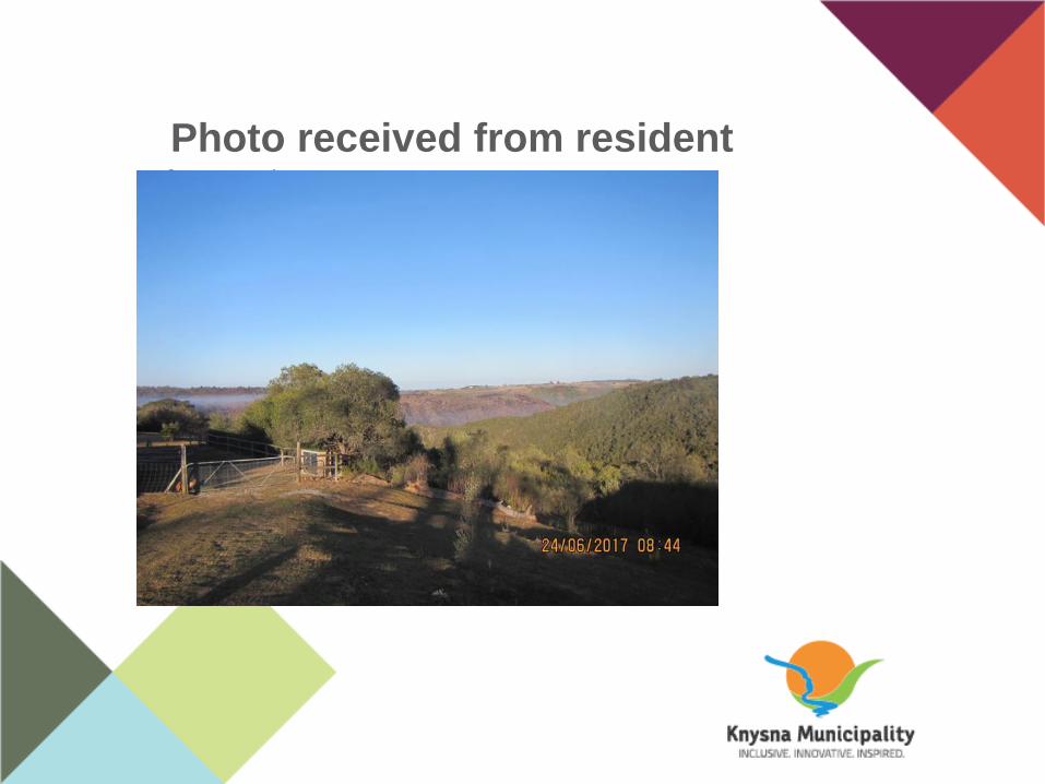
Photo received from residentSub-heading

Smoulder photo 12 July
Sub-heading
• TEXT HERE

Smoke location Sub-heading
• TEXT HERE
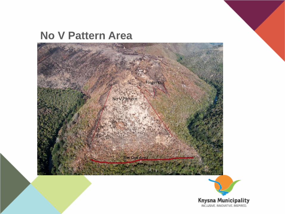
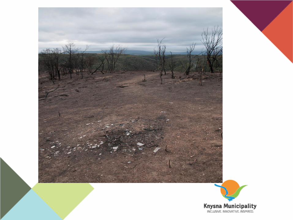
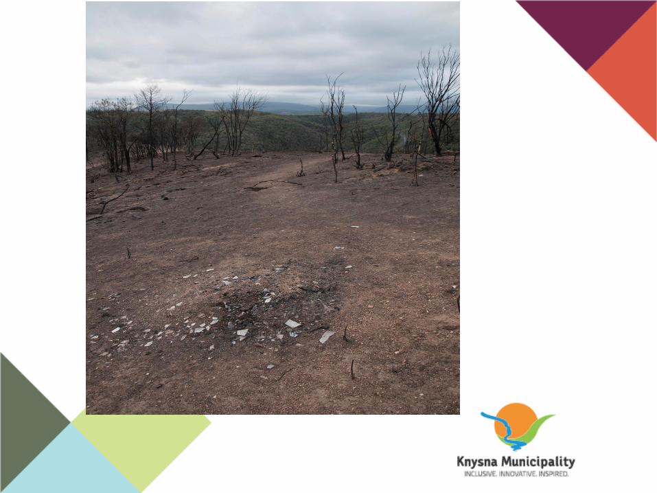
No V Pattern Area
Sub-heading
PAGE HEADING
Sub-heading
• TEXT HERE

PAGE HEADING
Sub-heading
• TEXT HERE

PAGE HEADING
Sub-heading
• TEXT HERE


Access
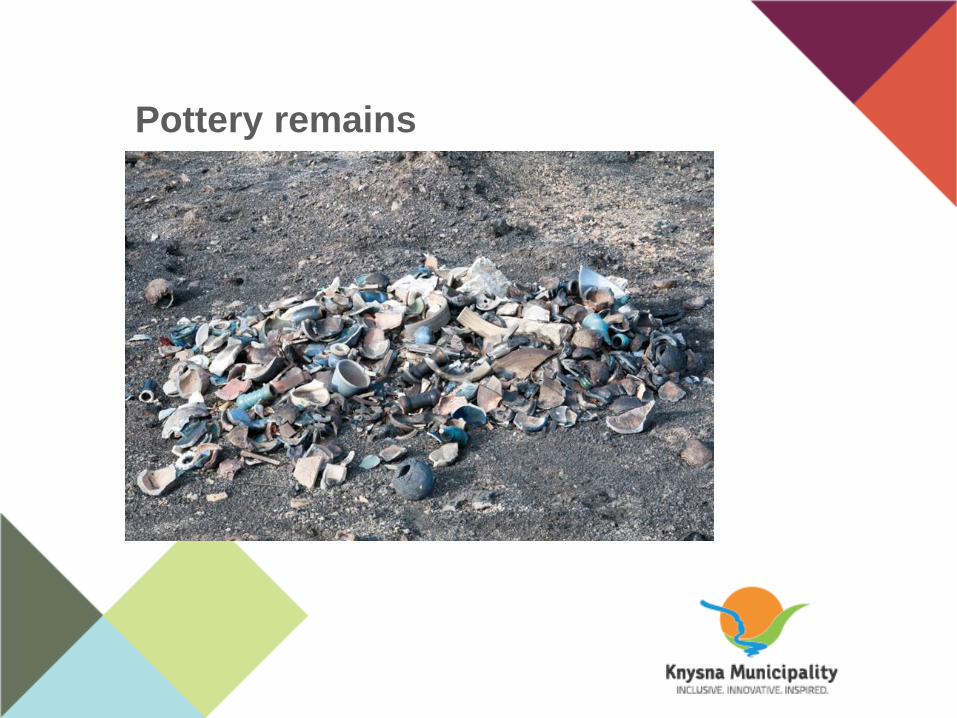
Pottery remains Sub-heading
• TEXT HERE
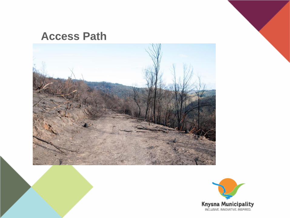
Access Path
Sub-heading
• TEXT HERE

PAGE HEADING
Sub-heading
• TEXT HERE
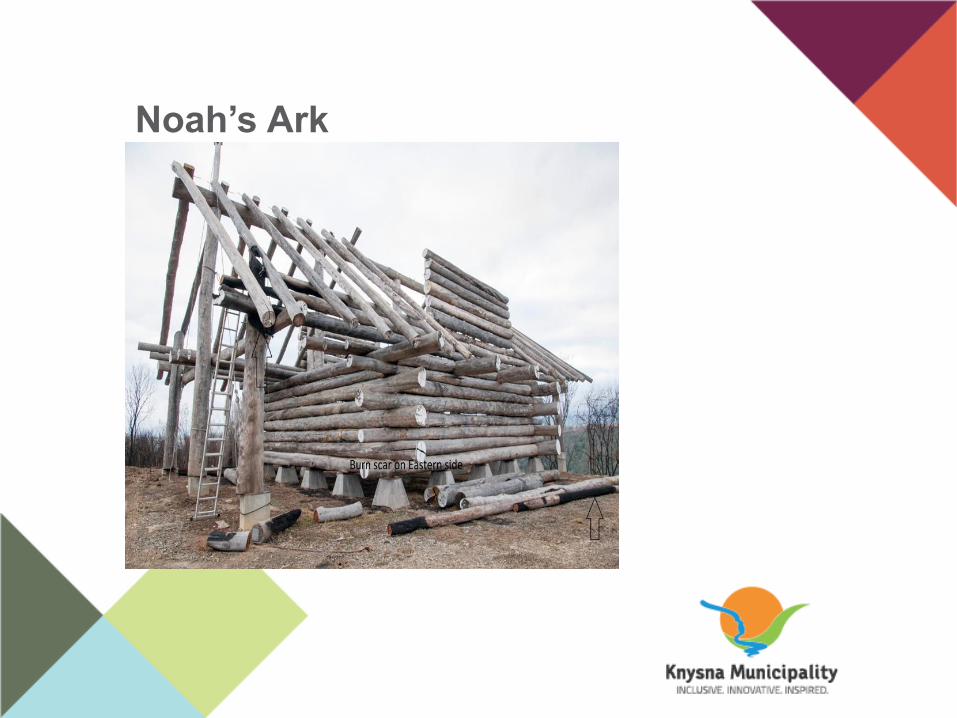
Noah’s Ark Sub-heading
• TEXT HERE
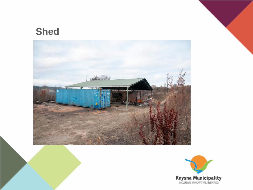
Shed
Sub-heading
• TEXT HERE
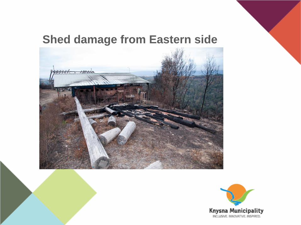
Shed damage from Eastern side Sub-heading
• TEXT HERE
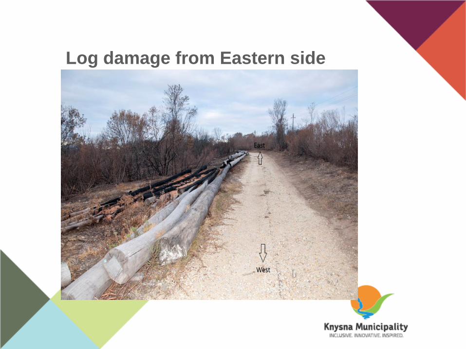
Log damage from Eastern side
Sub-heading
• TEXT HERE
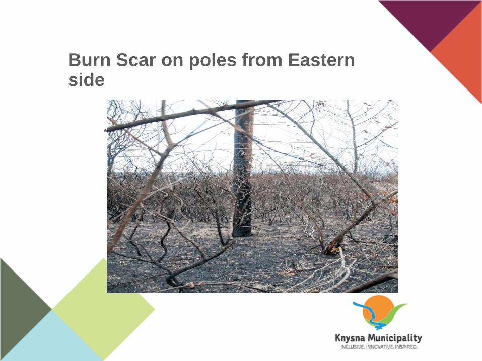
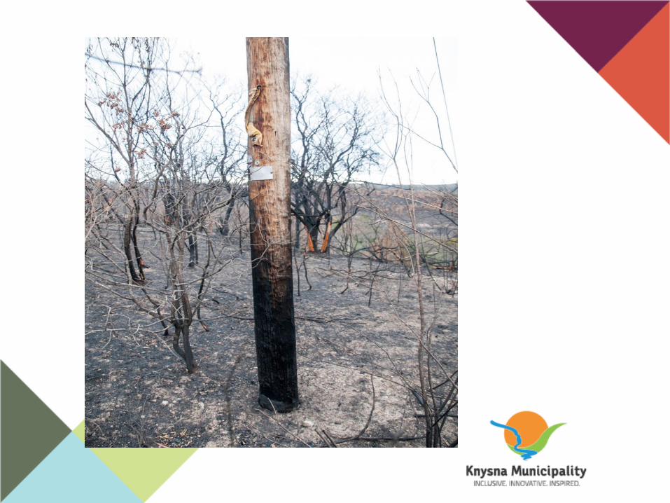
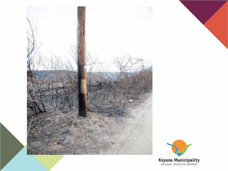
Burn Scar on poles from Eastern side
• TEXT HERE
PAGE HEADING
Sub-heading
• TEXT HERE
PAGE HEADING
Sub-heading
• TEXT HERE
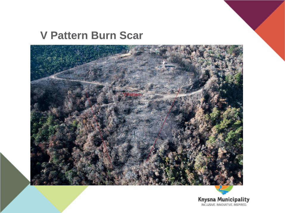
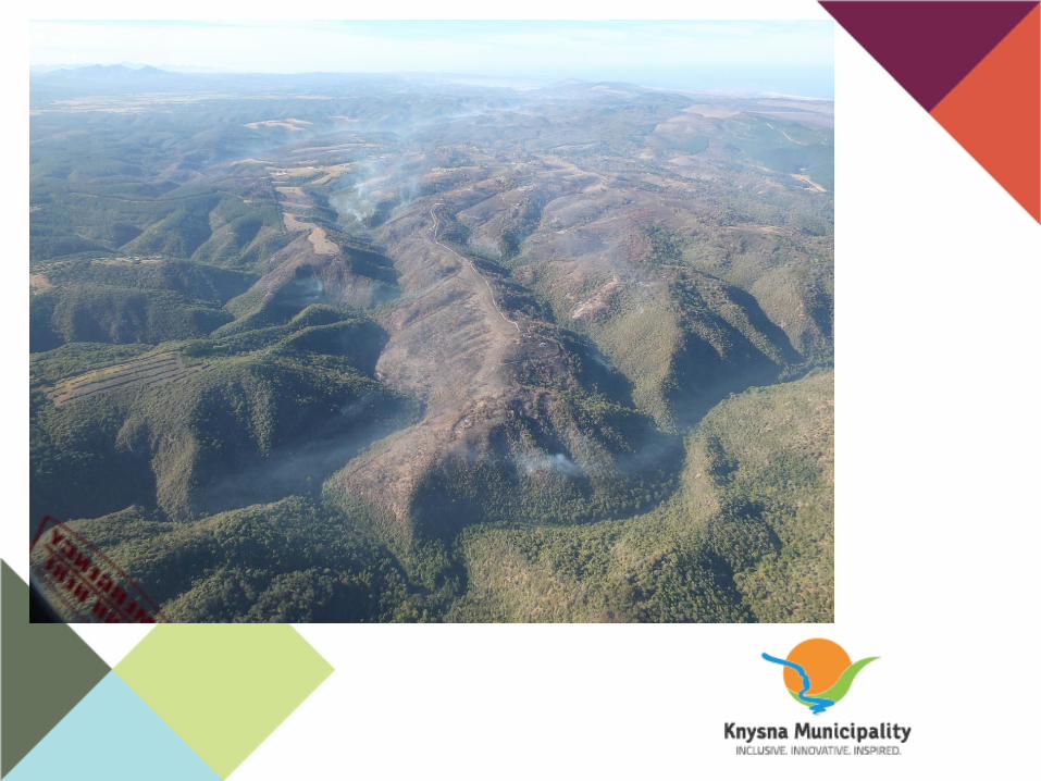
V Pattern Burn Scar
Sub-heading
• TEXT HERE
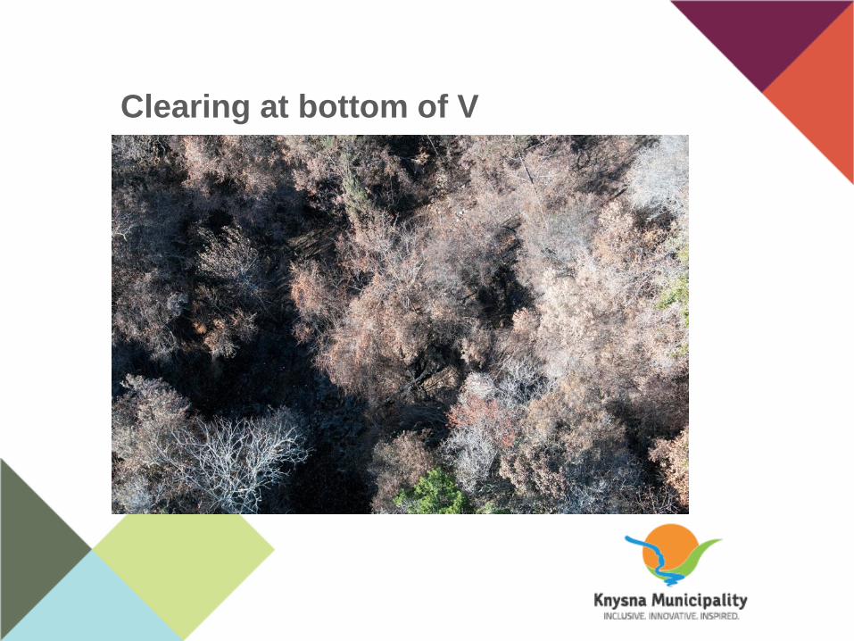
Clearing at bottom of V
Sub-heading
• TEXT HERE
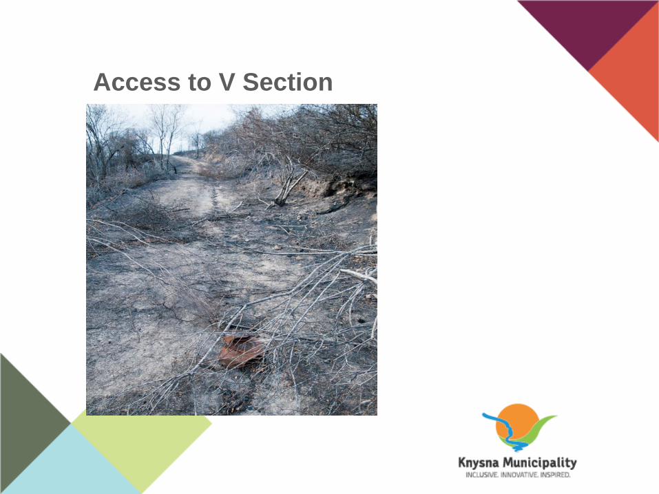
Access to V Section
Sub-heading
• TEXT HERE
PAGE HEADING
Sub-heading
• TEXT HERE
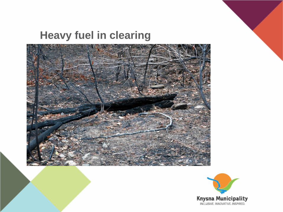
Heavy fuel in clearing
Sub-heading
• TEXT HERE

PAGE HEADING
Sub-heading
• TEXT HERE

PAGE HEADING
Sub-heading
• TEXT HERE
PAGE HEADING
Sub-heading
• TEXT HERE
PAGE HEADING
Sub-heading
• TEXT HERE
PAGE HEADING
Sub-heading
• TEXT HERE

Charring uphill
Sub-heading
• TEXT HERE

Previous fires in area
Sub-heading
• TEXT HERE
S
• TEXT HERE
PAGE HEADING
Sub-heading
• TEXT HERE

PAGE HEADING
Sub-heading
• TEXT HERE
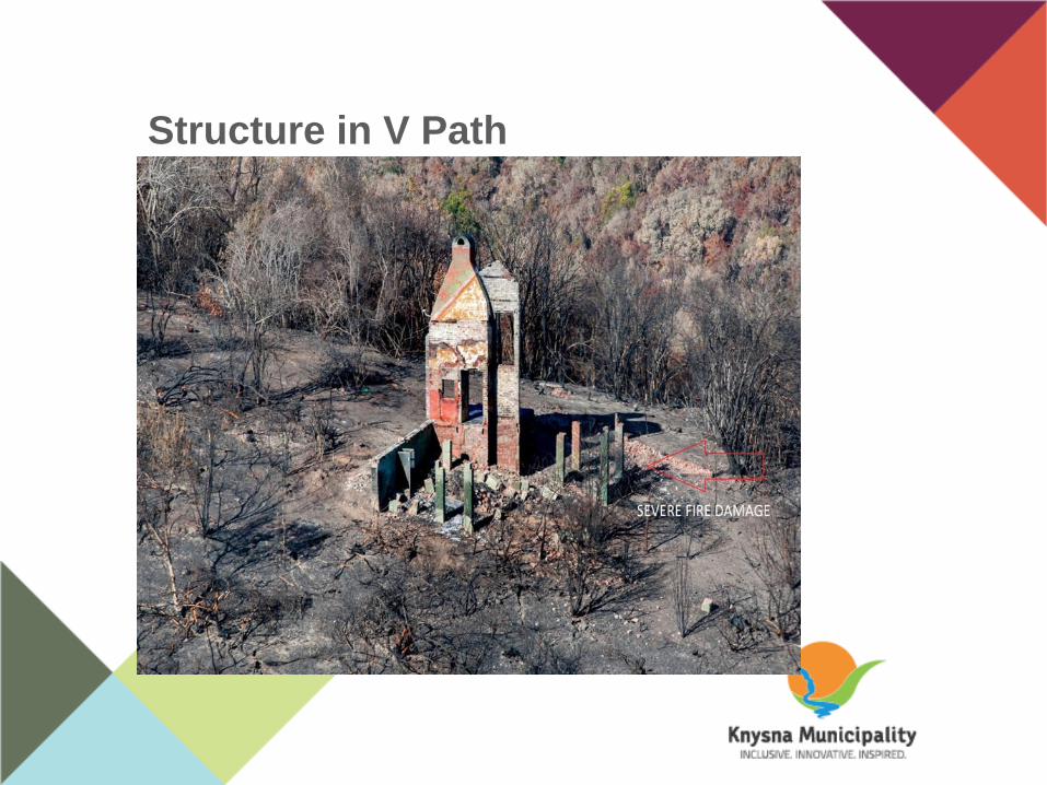
Structure in V Path
Sub-heading
• TEXT HERE
Hypothesis 1
• Based on Dr Vosloo report
• Fire Originated in non V area
• Cause – lightning strike on 12 April
2017

Hypothesis 2
Testing Hypothesis 1
• Morris and Vosloo reports one
smoulder
• Morris photos and location
• Sternsdorf pointed different location
• Eye witness confirms Morris and
Sternsdorf locations
• Wind pattern supplied by Vosloo
• Vosloo not in Elandskraal on 7 June
2017

Testing Hypothesis 2
• Emails, photos and grids R Morris
• Aerial photos
• Fire ground investigation
• Non V Pattern area
• V Pattern Area
• Weather Data
• Burn scar
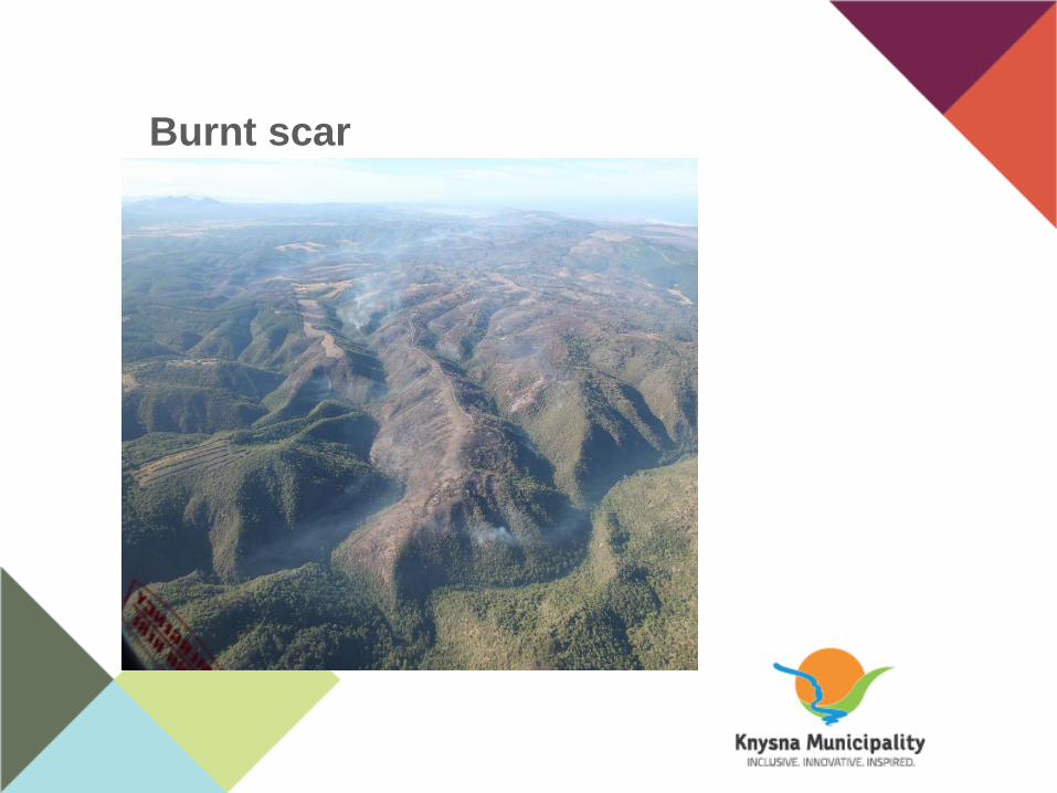
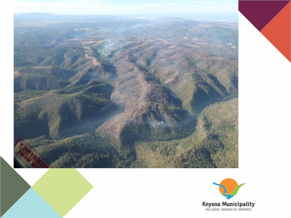
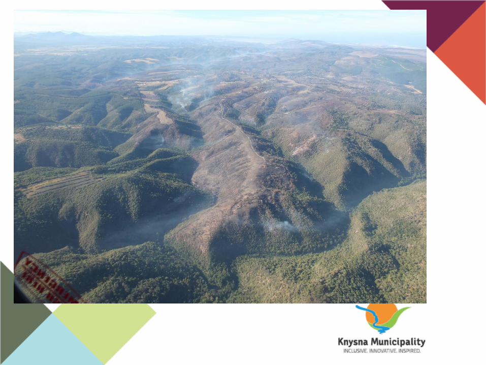
Burnt scar
Sub-heading
• TEXT HERE
PAGE HEADING
Sub-heading
• TEXT HERE

PAGE HEADING
Sub-heading
• TEXT HERE
PAGE HEADING
Sub-heading
• TEXT HERE

PAGE HEADING
Sub-heading
• TEXT HERE
PAGE HEADING
Sub-heading
• TEXT HERE

Final Hypothesis
• Wild land fires first ignite light
fuels then spread to heavy fuels
• Fire forms a V and grows
laterally
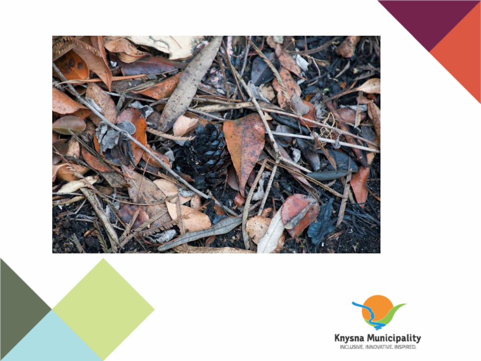
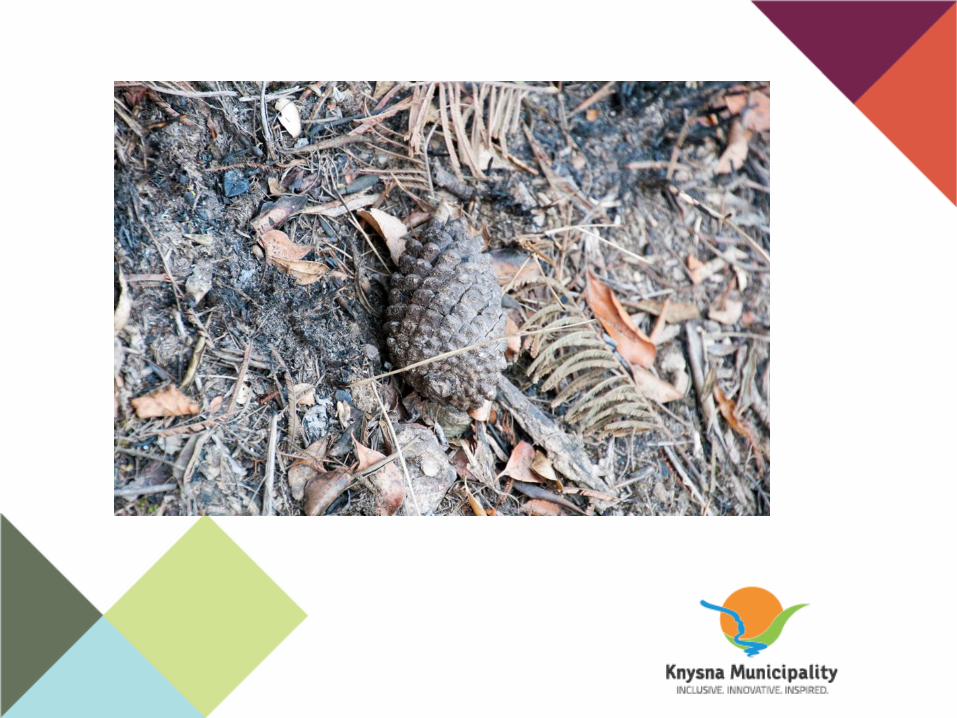
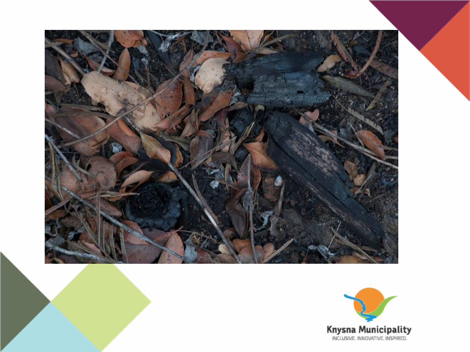
• Heavy fuels found in clearing
• Pine cones out of place
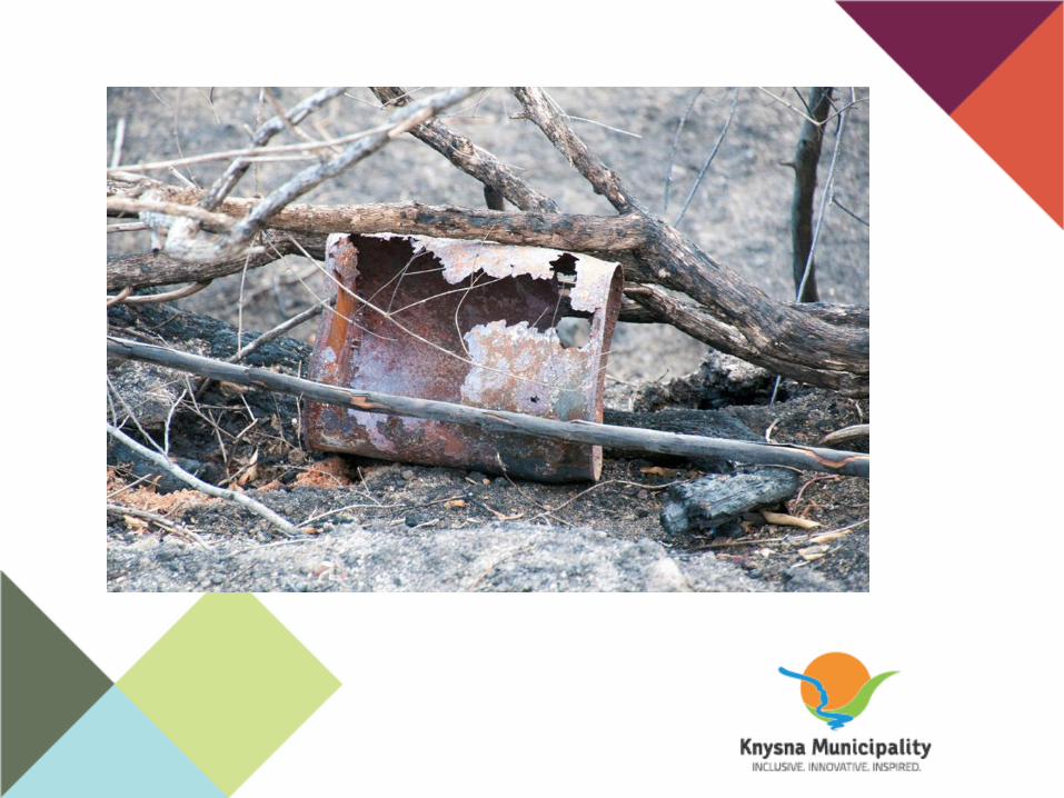
• Charred logs out of place
• Access paths
• Previous human activity
• Previous fires
• Wind data and fire spread
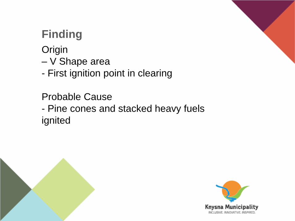
Finding
Origin
– V Shape area
- First ignition point in clearing
Probable Cause
- Pine cones and stacked heavy fuels
ignited

Questions?