Embed Size (px)
Citation preview
Border issues Norway UKKnut Henrik Jakobsson
CCOP Krabi May 2009
13/05/2009 2
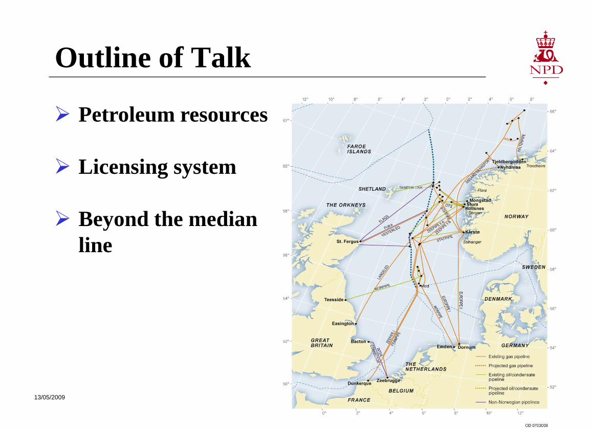
Outline of Talk
Petroleum resources
Licensing system
Beyond the median line
13/05/2009 3
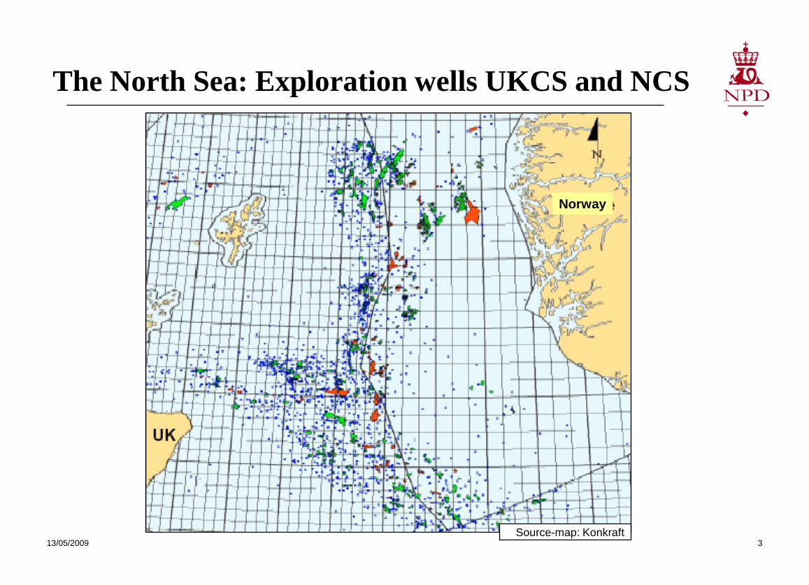
The North Sea: Exploration wells UKCS and NCS
Norway
UK
Source-map: Konkraft
Norway

13/05/2009 4
The Norwegian King Olav V inaugurates the Frigg field 8 May 1978

13/05/2009 5
13/05/2009 6
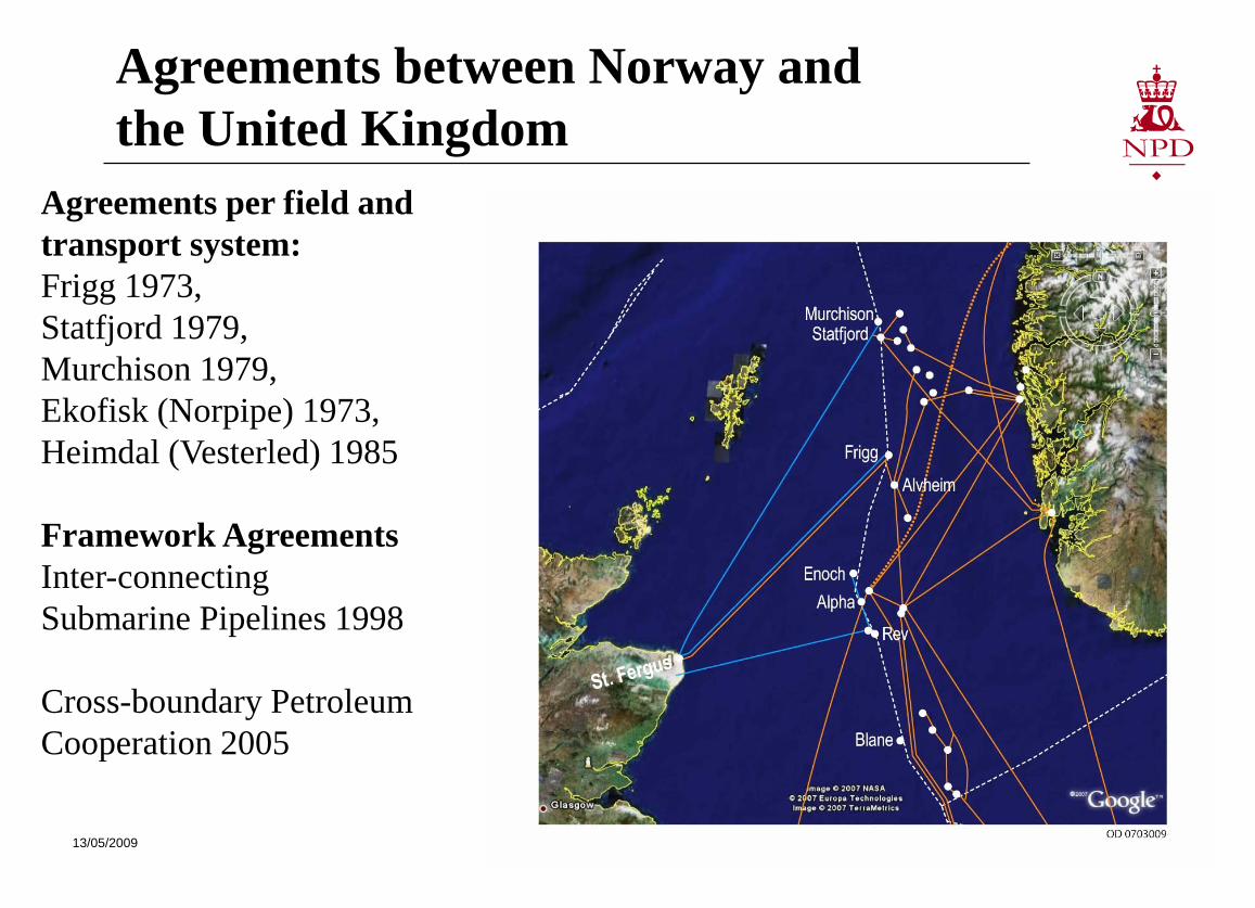
Agreements per field and transport system:Frigg 1973,Statfjord 1979, Murchison 1979, Ekofisk (Norpipe) 1973, Heimdal (Vesterled) 1985
Framework AgreementsInter-connecting Submarine Pipelines 1998
Cross-boundary Petroleum Cooperation 2005
Agreements between Norway and the United Kingdom
13/05/2009 7
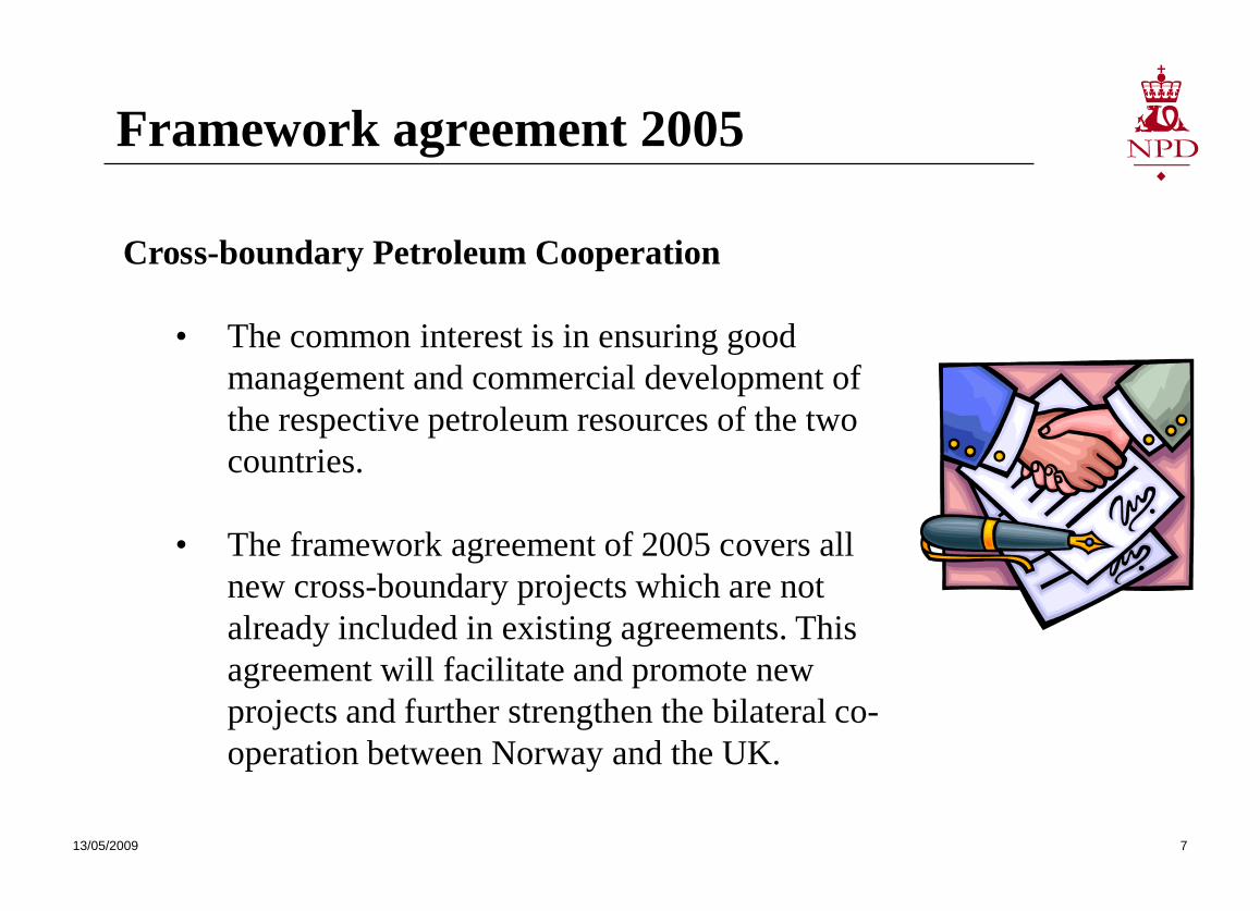
Framework agreement 2005
Cross-boundary Petroleum Cooperation
• The common interest is in ensuring good management and commercial development of the respective petroleum resources of the two countries.
• The framework agreement of 2005 covers all new cross-boundary projects which are not already included in existing agreements. This agreement will facilitate and promote new projects and further strengthen the bilateral co-operation between Norway and the UK.
13/05/2009 8
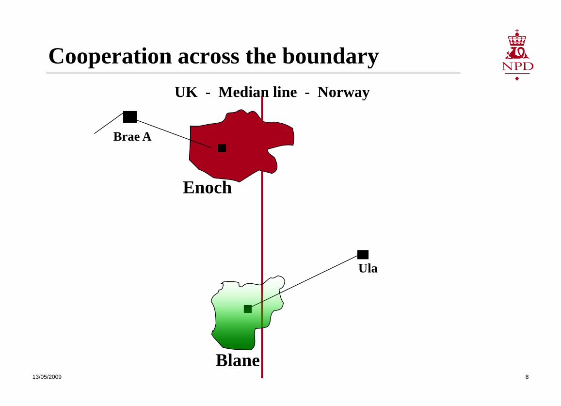
Cooperation across the boundary
Ula
Brae A
Blane
Enoch
UK - Median line - Norway
13/05/2009 9
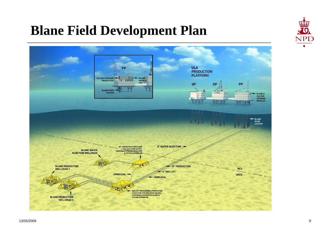
Blane Field Development Plan
13/05/2009 10
Status-2009
Large areas yet to be explored Several mature fields From Giants to smaller fields Newcomers show increasing interest in the NCS Norwegian shelf is less mature compared to the UK
shelf The new 2005 Framework agreement will strengthen
the bilateral co-operation between Norway and the UK.
Revision of agreements ongoing in 2009
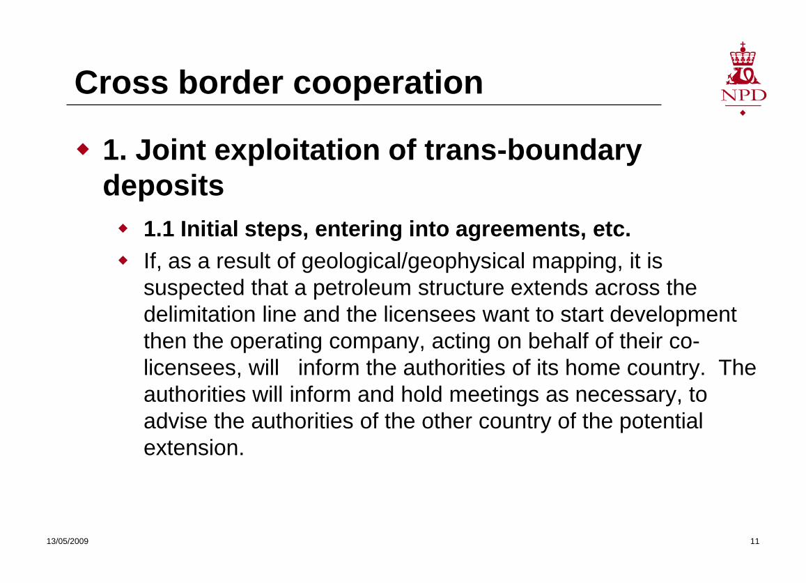
Cross border cooperation
1. Joint exploitation of trans-boundary deposits 1.1 Initial steps, entering into agreements, etc. If, as a result of geological/geophysical mapping, it is
suspected that a petroleum structure extends across the delimitation line and the licensees want to start development then the operating company, acting on behalf of their co-licensees, will inform the authorities of its home country. The authorities will inform and hold meetings as necessary, to advise the authorities of the other country of the potential extension.
13/05/2009 11
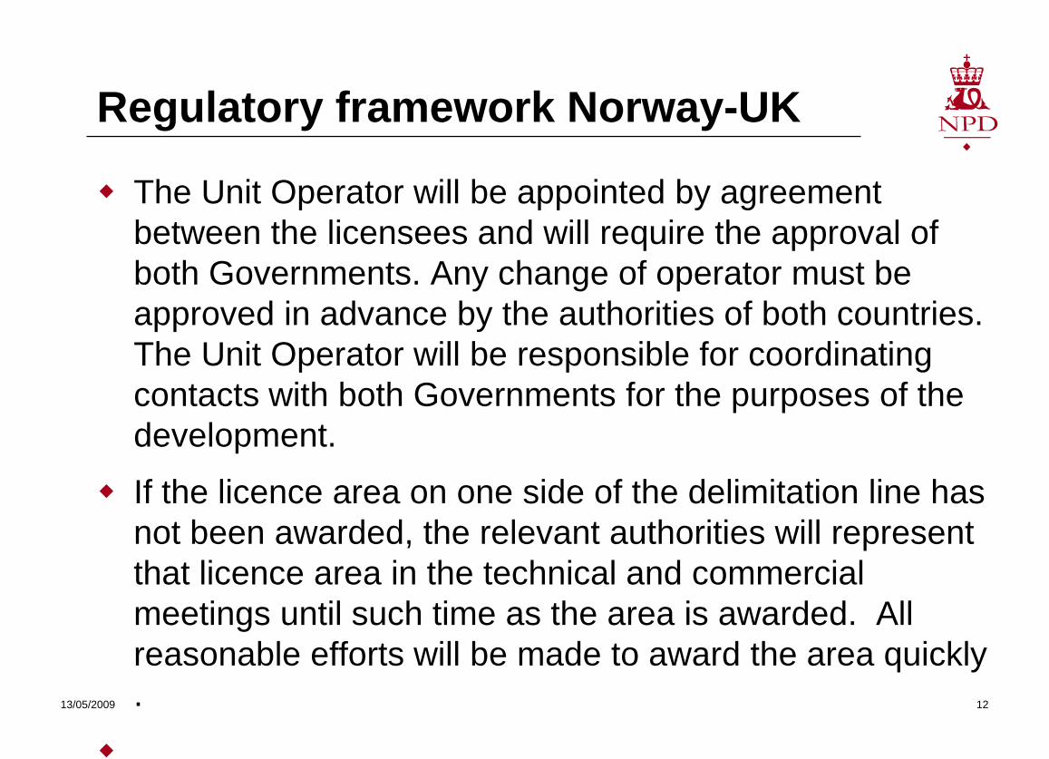
Regulatory framework Norway-UK
The Unit Operator will be appointed by agreement between the licensees and will require the approval of both Governments. Any change of operator must be approved in advance by the authorities of both countries. The Unit Operator will be responsible for coordinating contacts with both Governments for the purposes of the development.
If the licence area on one side of the delimitation line has not been awarded, the relevant authorities will represent that licence area in the technical and commercial meetings until such time as the area is awarded. All reasonable efforts will be made to award the area quickly .
13/05/2009 12
Re-determining prosedures
An important element of the Licensees Agreement needs to address determination of reserve. The Agreement should identify the limits of the petroleum structure and include proposals for determining the extent of the proposed field, the hydrocarbons initially in-place, the method of calculation, and the distribution between the parties. Methods for determining and re-determining reserves and their distribution will be needed and the Licensees Agreement should include the process for resolving disputes.
13/05/2009 13
An important element of the Licensees Agreement needs to address determination of reserve. The Agreement should identify the limits of the petroleum structure a
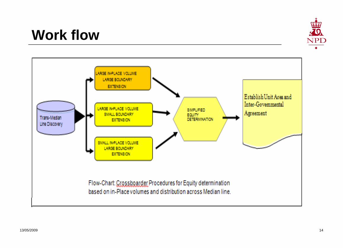
Work flow
13/05/2009 14
Conclusive remarks
Cross border studies rely on trust
Agree common database
Agree project scope and goals
Agree on the team (people and location)
Ensure legal access to all parties
Produce a final report
Present the results
13/05/2009 15
Useful links
https://www.og.berr.gov.uk/regulation/legislation/index.htm
https://www.og.berr.gov.uk/regulation/guidance/index.htm
https://www.og.berr.gov.uk/environment/index.htm
https://www.og.berr.gov.uk/environment/environ_leg_index.htm
https://www.og.berr.gov.uk/regulation/pons/index.htm
13/05/2009 16

13/05/2009 17
Thank you for your attention
www.npd.no
Mergui data slides
Misc. public figures
13/05/2009 18
13/05/2009 19
13/05/2009 20
13/05/2009 21
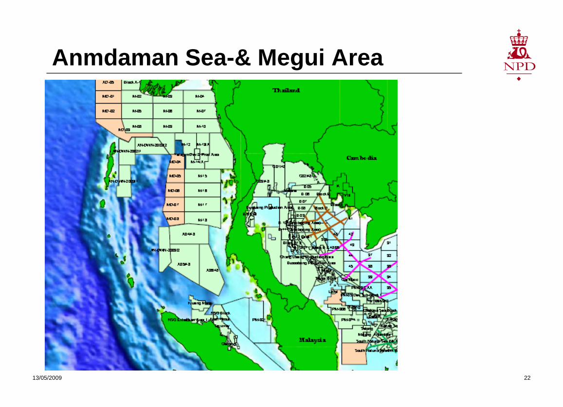
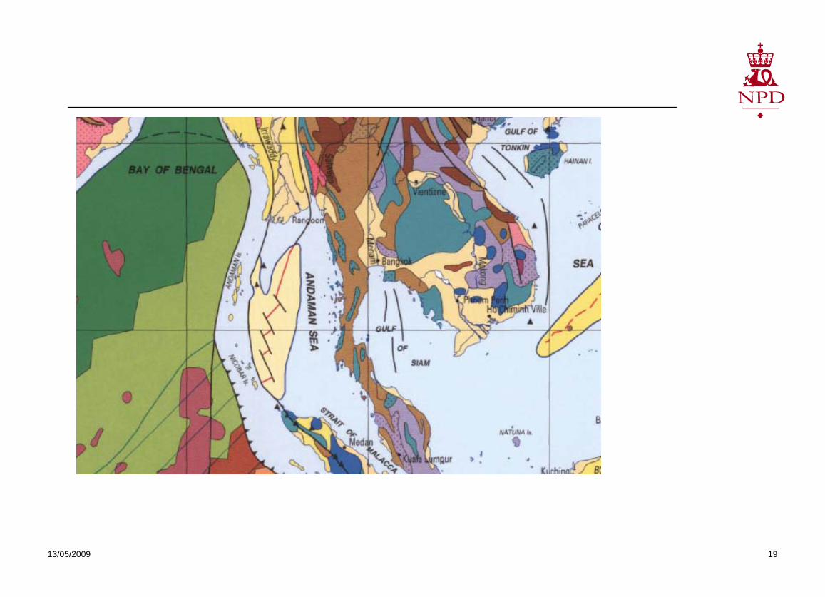
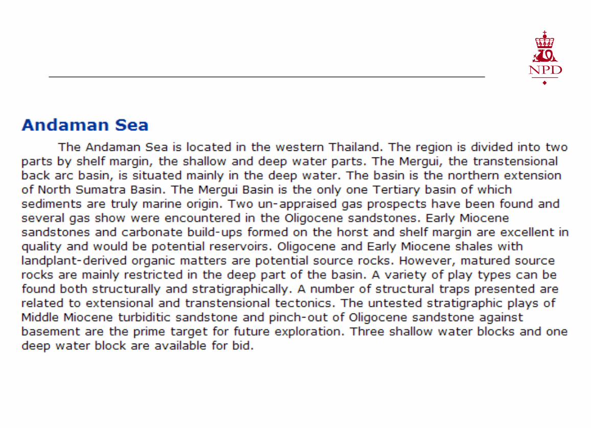
Anmdaman Sea-& Megui Area
13/05/2009 22
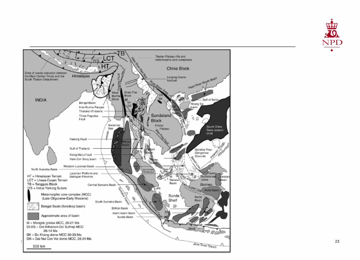
13/05/2009 23
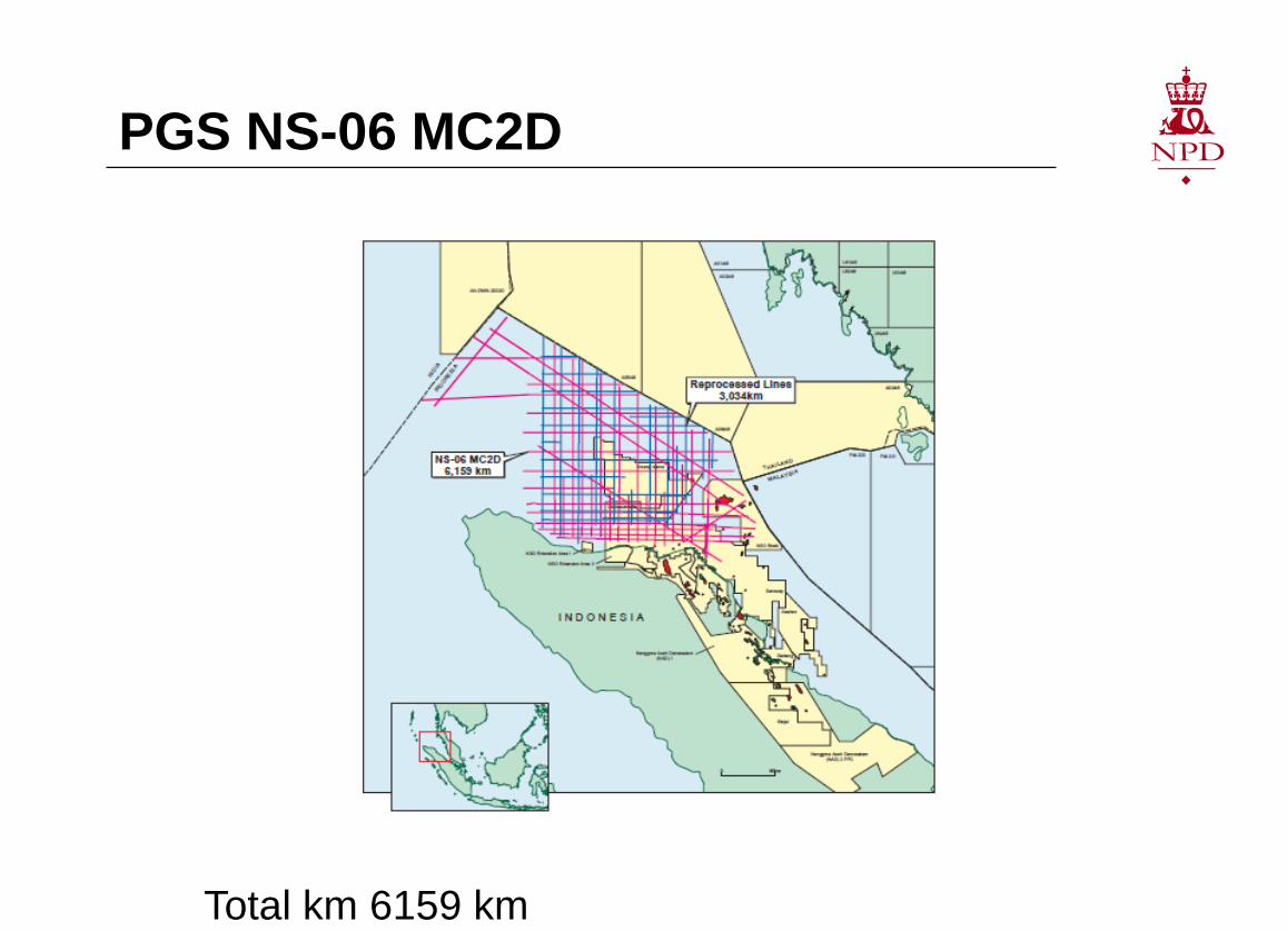
PGS NS-06 MC2D
Total km 6159 km
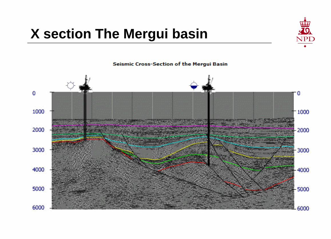
X section The Mergui basin
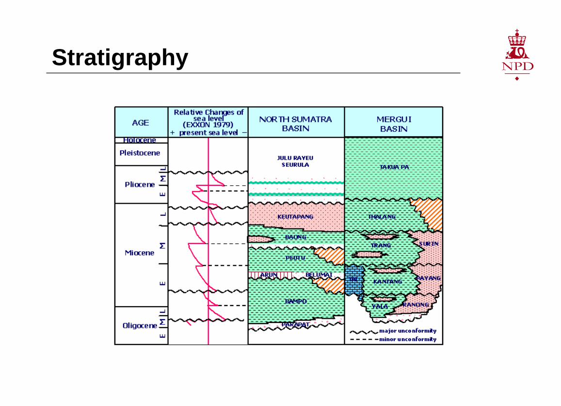
Stratigraphy
Useful references Petroleum systems of Indonesia (Doust and Nobile, 2007)
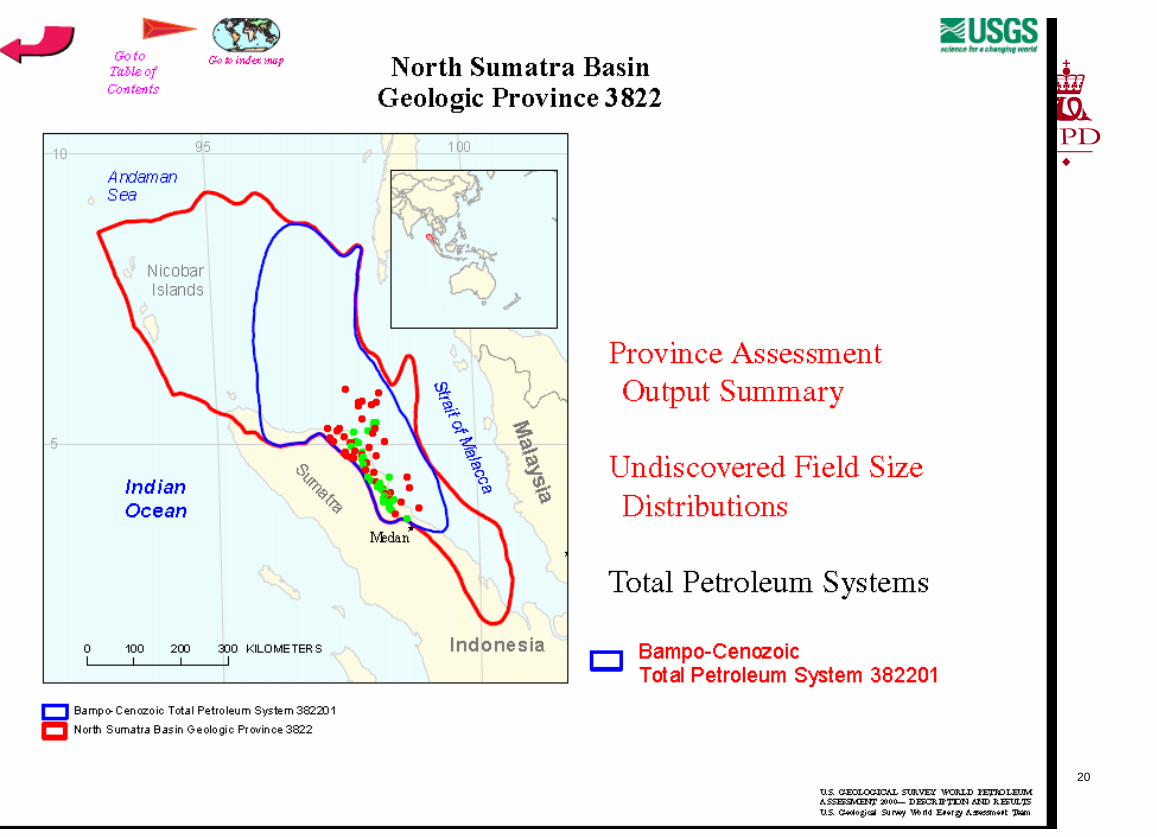
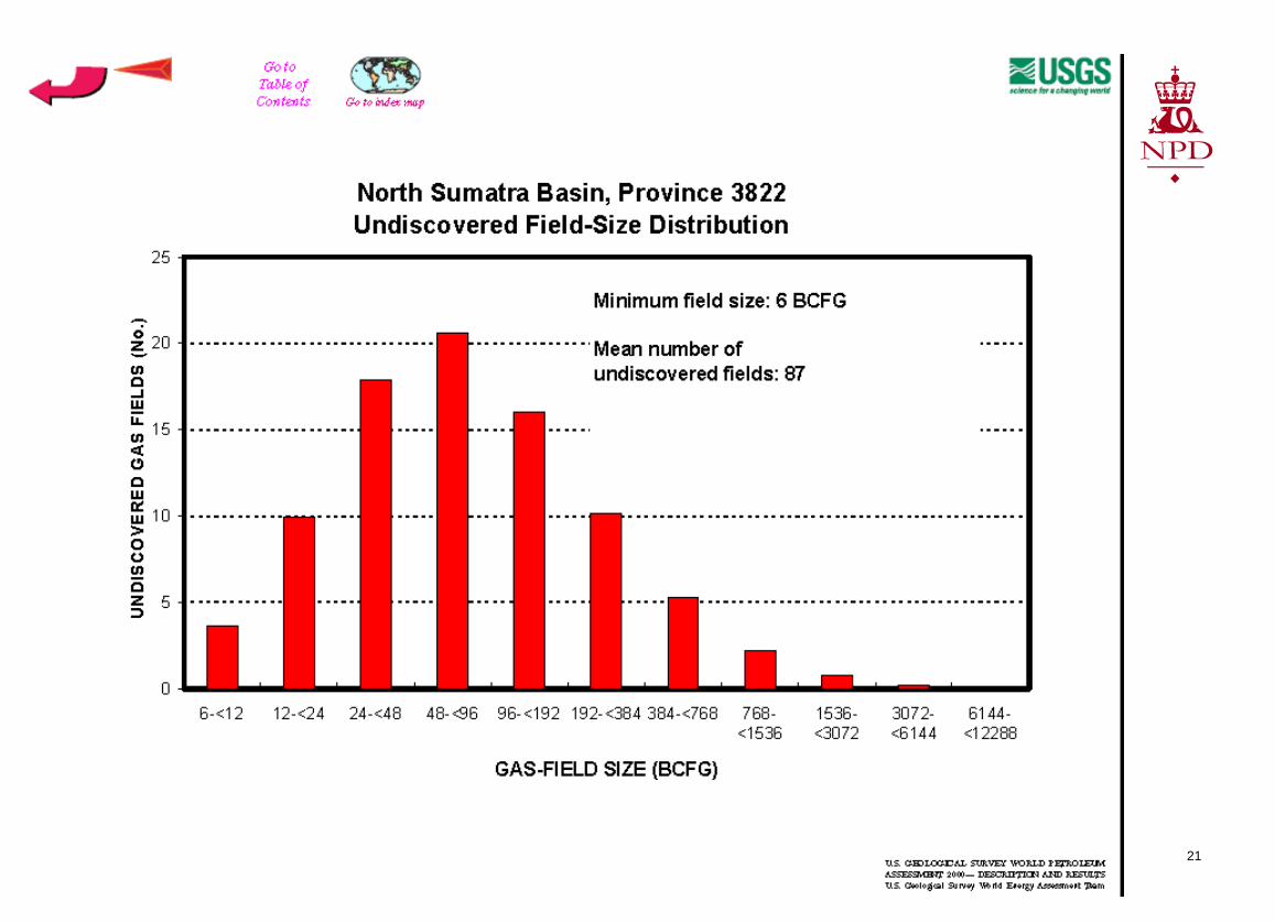
North Sumatra 3822 USGS
Central Sumatra Basin 3808 USGS
13/05/2009 28