Embed Size (px)
Citation preview

Kandiyohi Power Cooperative
ESRI Technology in Action
To introduce ourselves …
We are located approximately 100 miles west of Mpls/St. Paul and our service territory is primarily Kandiyohi County with facilities in 4 surrounding counties.
Our cooperative was established in 1935. We currently employ 35 people, maintain 1700 miles of line and serve 7,853 accounts.
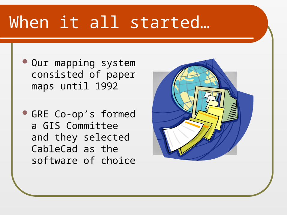
When it all started…
Our mapping system consisted of paper maps until 1992
GRE Co-op’s formed a GIS Committee and they selected CableCad as the software of choice
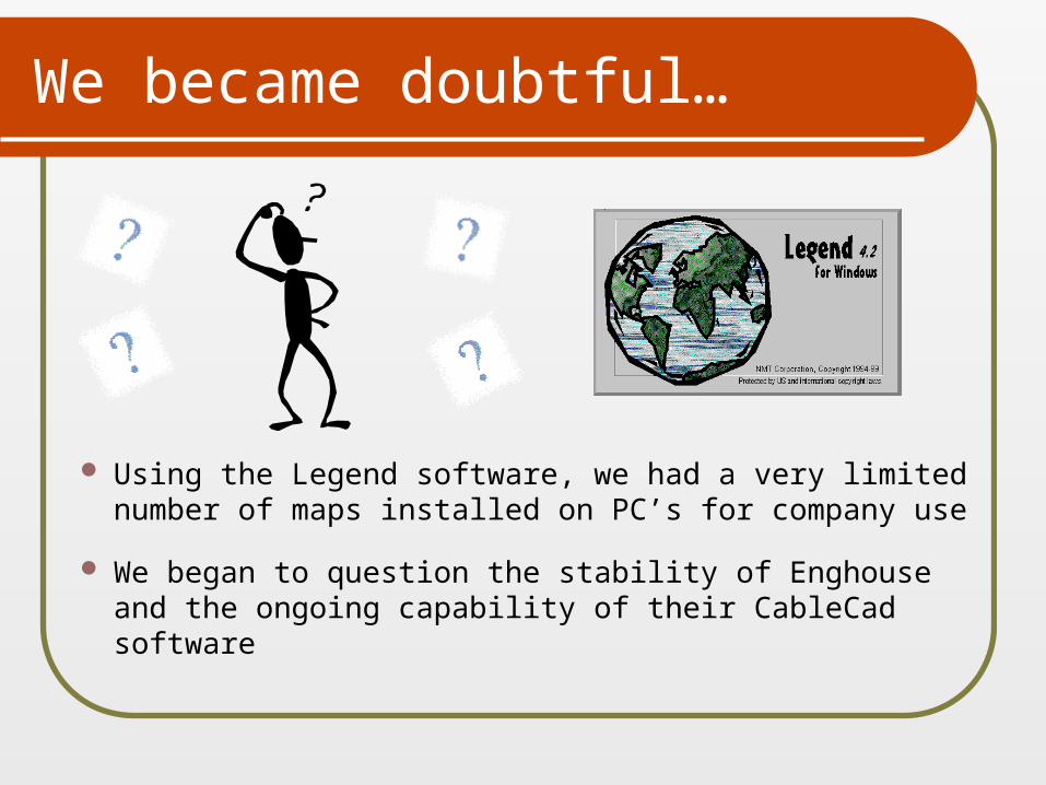
We became doubtful…
Using the Legend software, we had a very limited number of maps installed on PC’s for company use
We began to question the stability of Enghouse and
the ongoing capability of their CableCad software
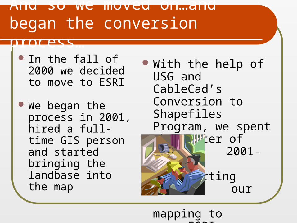
And so we moved on…and began the conversion process…
In the fall of 2000 we decided to move to ESRI
We began the process in 2001, hired a full-time GIS person and started bringing the landbase into the map
With the help of USG and CableCad’s Conversion to Shapefiles Program, we spent the winter of 2001-2002 converting our mapping to ESRI
The clean-up continues…
We spent all of 2002 importing
existing information
from CableCad, making map
corrections and cleaning up
data
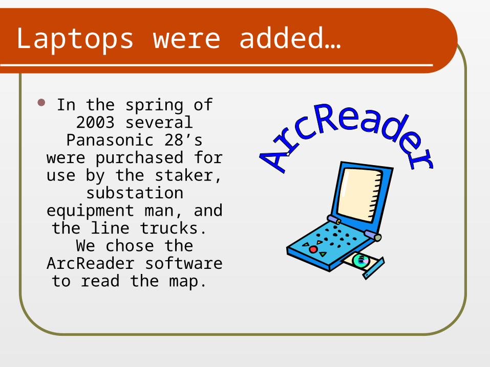
Laptops were added…
In the spring of 2003 several
Panasonic 28’s were purchased for use by the staker,
substation equipment man,
and the line trucks. We chose the
ArcReader software to read the map.
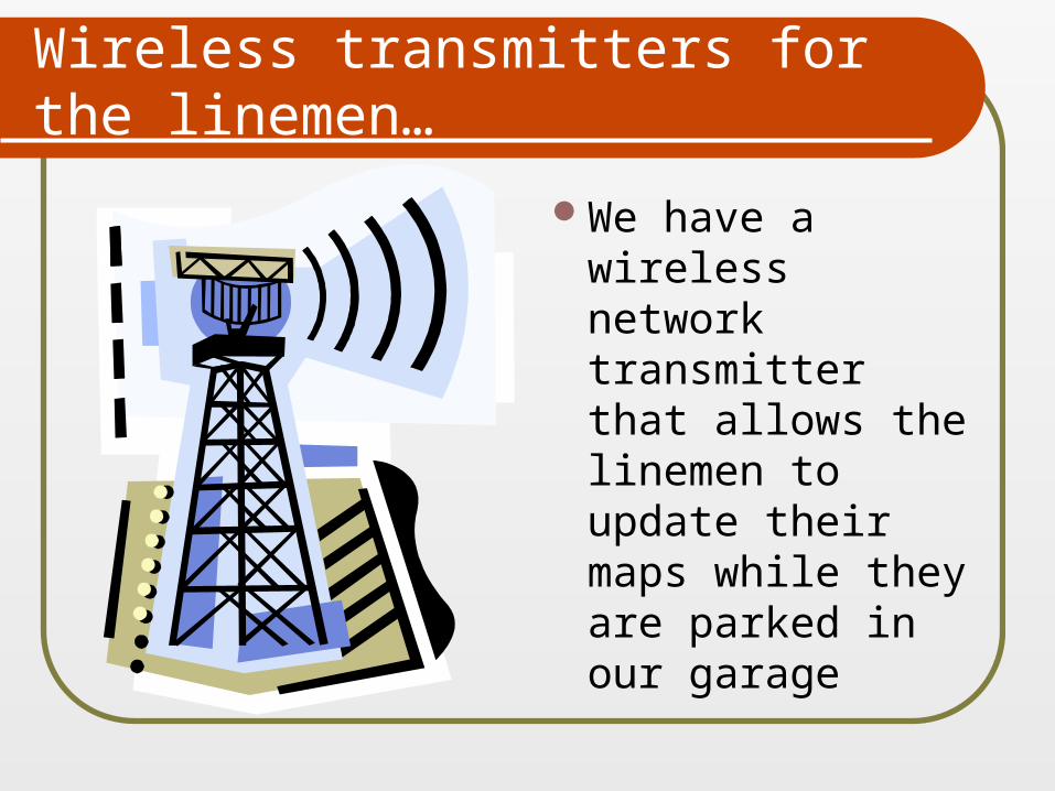
Wireless transmitters for the linemen…
We have a wireless network transmitter that allows the linemen to update their maps while they are parked in our garage
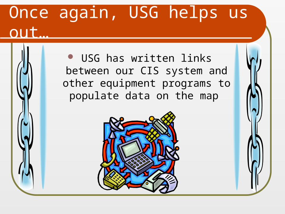
Once again, USG helps us out…
USG has written links between our CIS system and other equipment programs to
populate data on the map
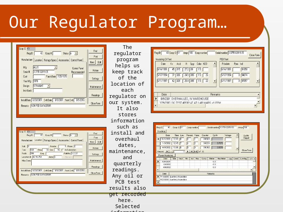
Our Regulator Program…
The regulator
program helps us keep track of the location of
each regulator on
our system. It also stores information
such as install and overhaul
dates, maintenance, and quarterly readings. Any oil or PCB test
results also get recorded
here. Selected
information from this
program is used to
populate the regulators on
the map.
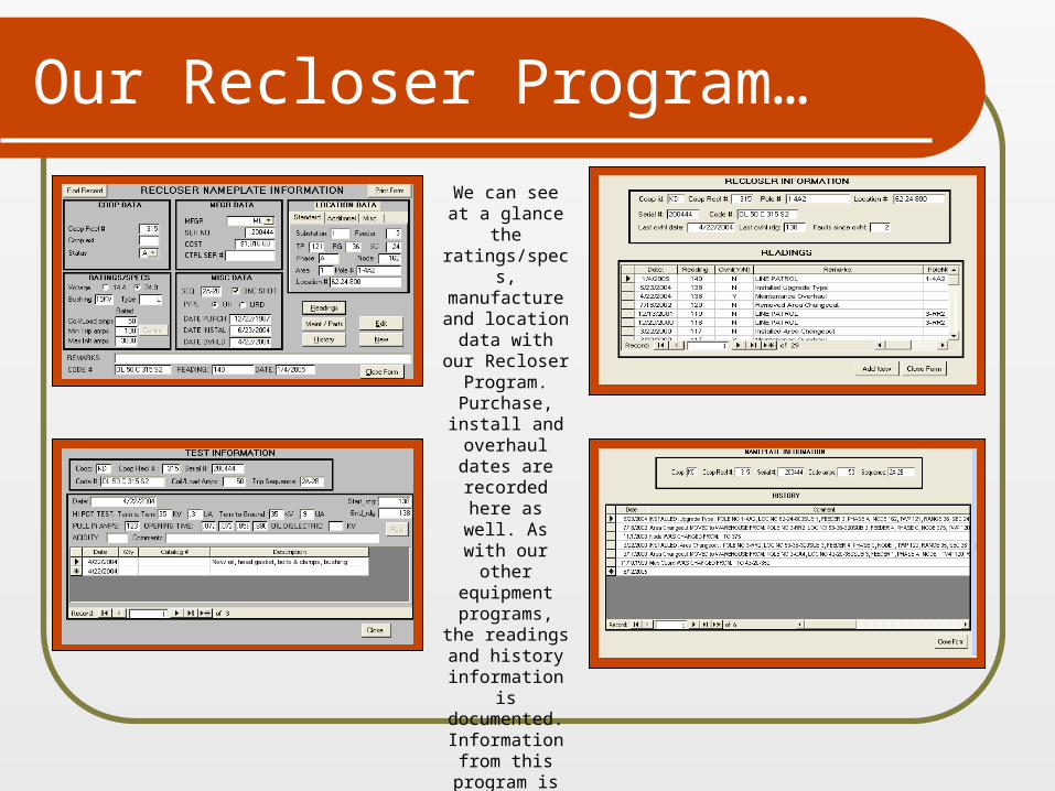
Our Recloser Program…
We can see at a glance the
ratings/specs, manufacture and location data with our
Recloser Program. Purchase, install and overhaul dates are
recorded here as well. As
with our other equipment
programs, the readings and
history information is documented.Information
from this program is
also transferred to
the map.
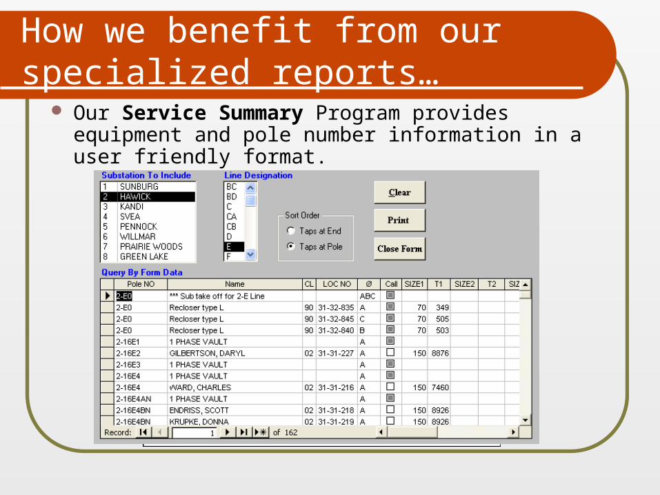
How we benefit from our specialized reports…
Our Service Summary Program provides equipment and pole number information in a user friendly format.
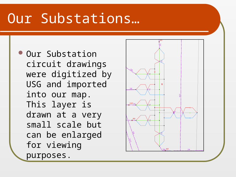
Our Substations…
Our Substation circuit drawings were digitized by USG and imported into our map. This layer is drawn at a very small scale but can be enlarged for viewing purposes.
!A
!A
!«
!«
!«
!«
!«
!«
!«
!(8 !U
!U
d
d
d
d
d
d
!(F
!(F
!(F
")
*#
*#
Í
w
,
,,
"))
"))
"))
"))
!(8
?
!(8
?
!(8
?
!(8
?
!(8
?
!(8
?
!(8
?
!(8
?
!(8
?
!(8
?
!(8
?
!(8
?
!(8
?
!(8
?
!(8
?
!(8
?
!(8
?
!(8
?
!(8
?
!(8
?
!(8
?
!(8
?
!(8
?
!(8
?
!(8
?
!(8
?
!(8
?
!(8
?
!(8
?
!(8
?
!(8
?
!(8
?
!(8
?
!(8
?
!(8
?
!(8
?
!(8
?
!(8
?
!(8
?
!(8
?
!(8
?
!(8
?
!(8
?
!(8
?
!(8
?
!(8
?
!(8
?
!(8
?
364
301
393
1322
3-C
C
3-A
3-E
3-D
328
03
560WE
560WE
560WE
560WE
560WE
560WE
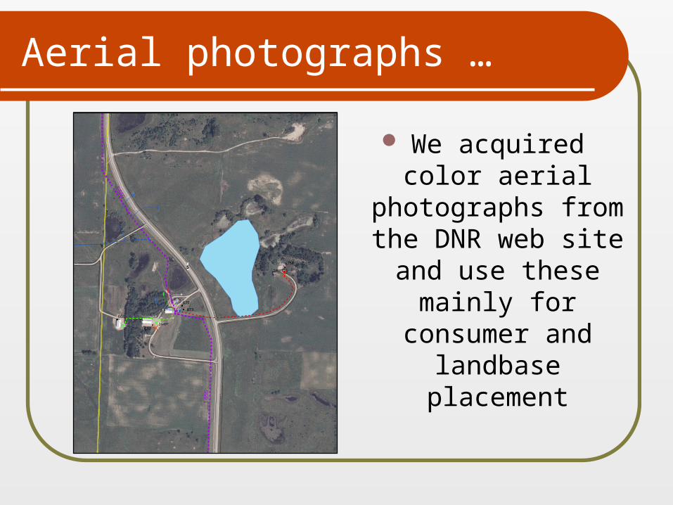
Aerial photographs …
We acquired color aerial
photographs from the DNR
web site and use these mainly for consumer and
landbase placement
X
X
X
X
X
X
X
X
X
!«
!
!
!«
!«
!«
!«
!
#*
*#
#*
#*
Íw
Íw
Íw
Íw
Í w
Í w
Íw
Í
w
,
"
"
d 2
d 2
"))
"))
"))
"))
"))
"))
!(F
!(8
?
!(8
?
!(8
?
!(8
?
!(8
?
!(8
?
!(8
?
!(8
?
!(8
?
!(8
?
!(8
?
!(
!(
!(
!(!(
!(
^
!524887
24497
1-55
G
1-55G
670
668
750
675
673
X
X
X
X
X
X
X
X
X
!A
!A
! A
!A
! A
!A
!A
!A
!A
!A
!A
!A
!A
!A
!A
!(F
!(F!(F
")
!(VM
!(VM
!(VM
!(VM
!(VM
!(VM
Í
w
Í
w
Í
w
Í
w
Í
w
Í
w
Í
w
Í
w
Í
w
Í
w
Í
w
Í
w
Í
w
Í
w
Í
w
Í
w
Í
w
Í
w
Í
w
Í
w
Í
w
Í
w
Í
w
Í
w
Í
w
Í
w
Í
w
Í
w
Í
w
Í
w
Í
w
Í
w
,
,
,
,
,
"
"))
"))
"))
"))
"))
"))
"))
"))
"))
"))
"))
")) "))
"))
"))
"))
"))
"))
"))
"))
"))
"))
"))
"))
"))
"))
"))
"))
"))
"))
"))
"))
"))
"))
"))E
"))
"))
"))
"))
"))
"))")) "))
"))
"))
"))
"))
"))
"))
"))
"))
"))
"!(F)
!(
!(
!(
!(
!(
!(
!(
!(
!(
!(
!(
!(
!(
!(
!(
!(
1
11
12
10
1
8
8
834
895
846
844
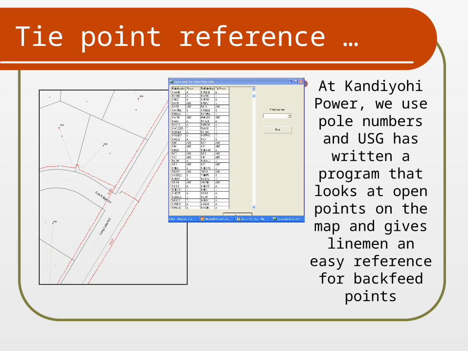
Tie point reference …
At Kandiyohi Power, we use pole numbers and USG has
written a program that looks at open points on the
map and gives linemen an
easy reference for backfeed
points
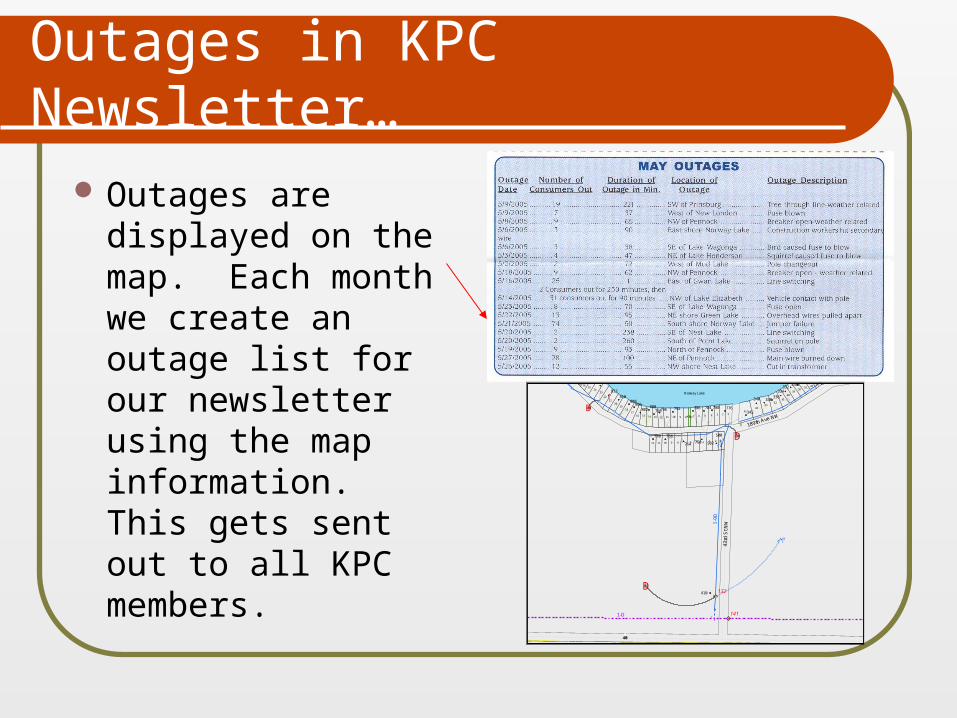
Outages in KPC Newsletter…
Outages are displayed on the map. Each month we create an outage list for our newsletter using the map information. This gets sent out to all KPC members. !A
!A
D!!
D!!
D")
!«
!«
!
!
!
!
!
!
!
!
!
!
!
!
!!
!
!
!
!!!
!
!
!
!
!
!
!
!
!
!
!
!
!
!
!
")
*#
*#
*#
*#
*#
*#
*#
*#
*#
#*
*#
*#*#
*#*#
*#
*#
*#
*#
*#
*#
*#
*#
*#
*#
*#*#*#
*#
*#*#
*#
*#
*#
*#
*#
Íw
Íw
Íw
Í
w
Í
w
Í
w
*#
*#
,
,
"
" "
"
"
d 2
!%<
!%<
!%<
d 2
"))E
"))
!(F
!(8
?
!(8
?
!(8
?
!(8
?
!(8
?
!(8
?
!(8
?
!(8
?
!(8
?
!(8
?
!(8
?
!(8
?
!(8
?
!(8
?
!(8
?
!(8
?
!(8
?
!(8
?
!(8
?
!(8
?
!(8
?
!(8
?
!(8
?
!(8
?
!(8
?
!(8
?
!(8
?
!(8
?
!(!(!(
^
!(
!(
!(
!(
!(
04
04
05
!40
43rd
St N
W
189th Ave NW
141
132
1-D
Norway Lake
1
6
45
8
5 49
492
6
7
2
35
37
44
1
8
4243
11
18
21
23
20
10
4122
19
17
39
15
40
13
12 10
12
24
14
11
16
383725 3626 35
Alley
27 34
500
342780
812
808810
802800
796 792 786 784 776
770 766
336340
332
410
1-9
D
50E
764 750
798
815
806338
330328
502
334
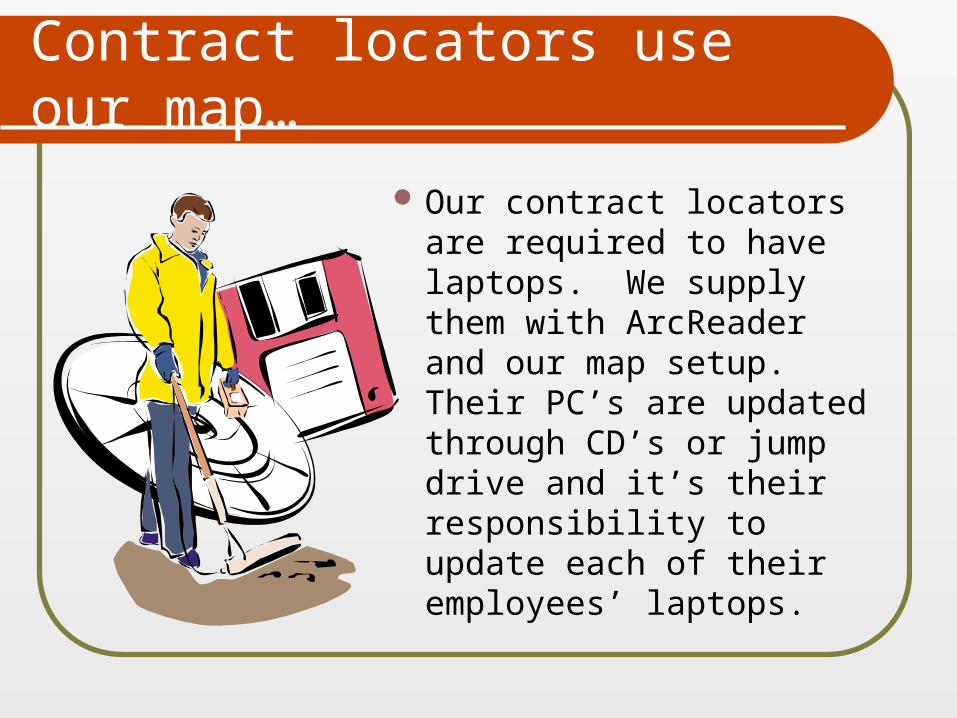
Contract locators use our map…
Our contract locators are required to have laptops. We supply them with ArcReader and our map setup. Their PC’s are updated through CD’s or jump drive and it’s their responsibility to update each of their employees’ laptops.
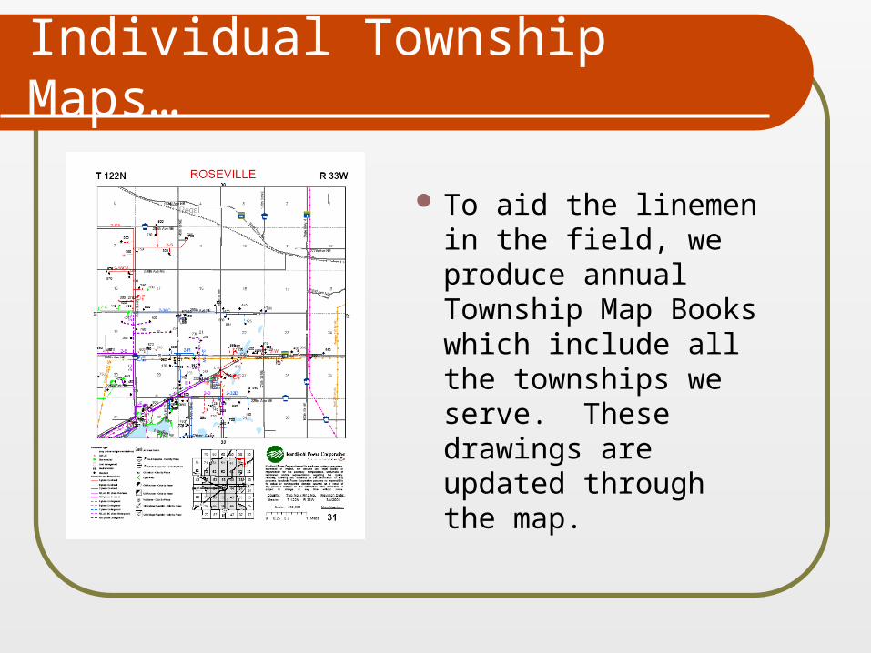
Individual Township Maps…
To aid the linemen in the field, we produce annual Township Map Books which include all the townships we serve. These drawings are updated through the map.
On to new & better things!....
We are currently exploring new CIS software and expect the interaction will change. The data will be live and we will eliminate the downloading procedure. The mobile PC’s will still present a problem.
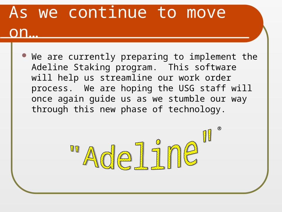
As we continue to move on…
We are currently preparing to implement the Adeline Staking program. This software will help us streamline our work order process. We are hoping the USG staff will once again guide us as we stumble our way through this new phase of technology.
®
Remember…
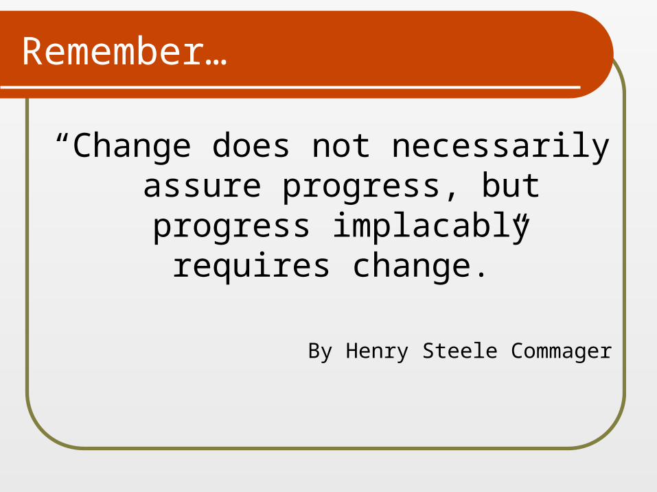
“Change does not necessarily assure progress, but progress implacably requires change.”
By Henry Steele Commager

The
End