Embed Size (px)
Citation preview
IT in Maryland
Kenny Miller Deputy Geographic Information Officer Department of Information Technology

Major Initiatives
• IT services support • Network MD • Web improvements • Cyber Security/Dual authentication • Removing silos • Master IT contracts • FirstNet – national public safety broadband
network for data • MD First - 700 MHz radio

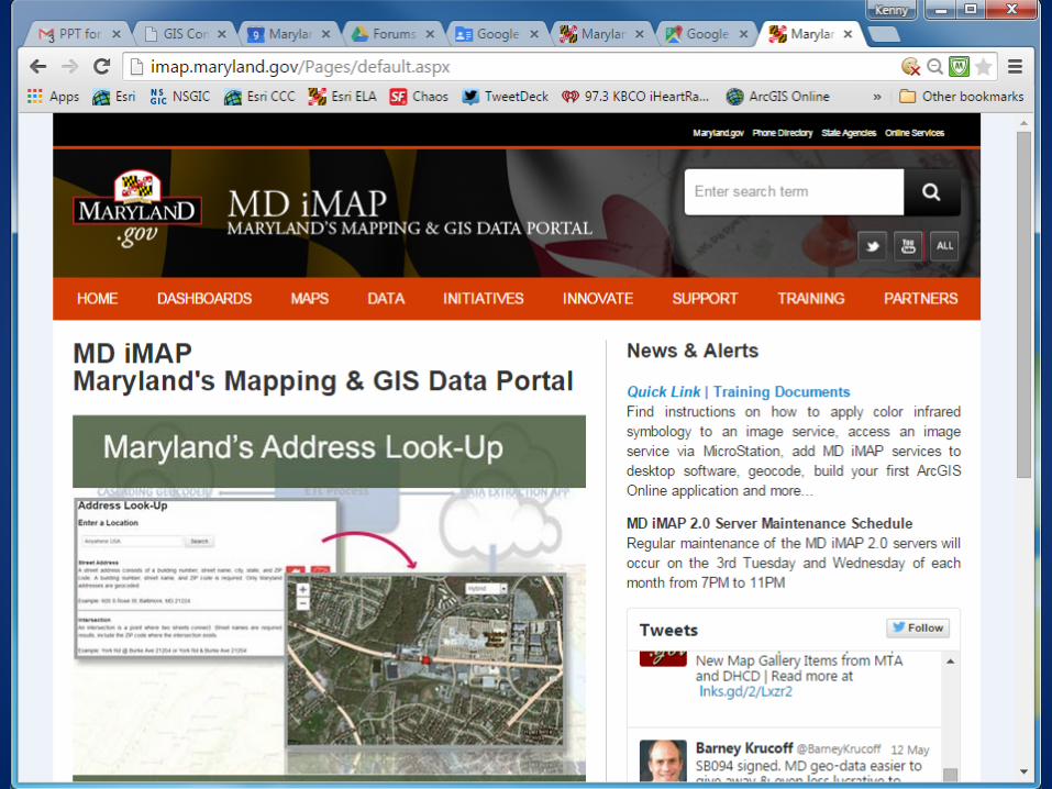
Mapping Landscape in Maryland
• State Enterprise GIS system – MD iMap • Public safety • Emergency Management • Data sources – live feeds, static data, imagery,
etc – Collected from many sources – feds, state
agencies, local governments, private sector

Data for Emergencies
• Road closures • Evacuation areas • Locations of “vulnerable populations” • Areas without power • Resource staging areas • Data comes from on-the-ground, local and
data owners – Federal, state, local, commercial, . . .

Public Safety Tools
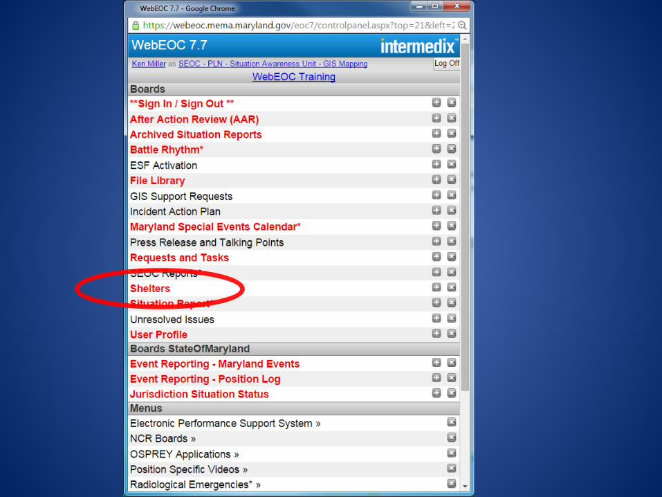
• WebEOC (https://webeoc.mema.maryland.gov/eoc7)
– Secure version at MEMA – Local EOC’s have, or can get, accounts
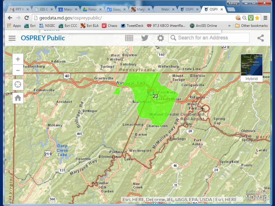
• OSPREY – Public version (http://geodata.md.gov/ospreypublic/)
– Secure version (WebEOC)
• Dashboards – OSPREY (http://mema.maryland.gov/Pages/OSPREYdashboard.aspx)
– Power Outage (http://mema.maryland.gov/Pages/PowerOutagesData.aspx)

MD iMap


![Writing Wills it] Maryland - University of Maryland Extension](https://img.pdfslide.us/doc/110x75/6203998bda24ad121e4b4911/writing-wills-it-maryland-university-of-maryland-extension.jpg)