Embed Size (px)
Citation preview
ISSUES ARISING IN KBA DELINEATION
Centre for Biodiversity ConservationConservation International
Madagascar26th July 2006
LAND MANAGEMENT UNIT
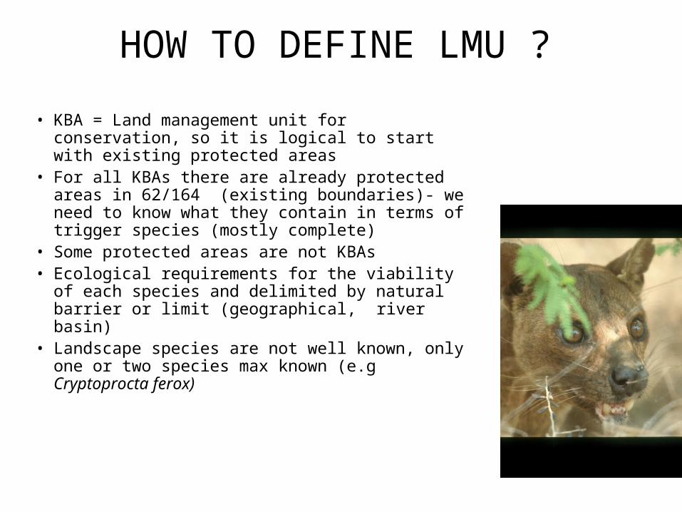
HOW TO DEFINE LMU ?
• KBA = Land management unit for conservation, so it is logical to start with existing protected areas
• For all KBAs there are already protected areas in 62/164 (existing boundaries)- we need to know what they contain in terms of trigger species (mostly complete)
• Some protected areas are not KBAs• Ecological requirements for the viability of each
species and delimited by natural barrier or limit (geographical,, river basin)
• Landscape species are not well known, only one or two species max known (e.g Cryptoprocta ferox)

OVERLAPPING LAND MANAGEMENT UNITS
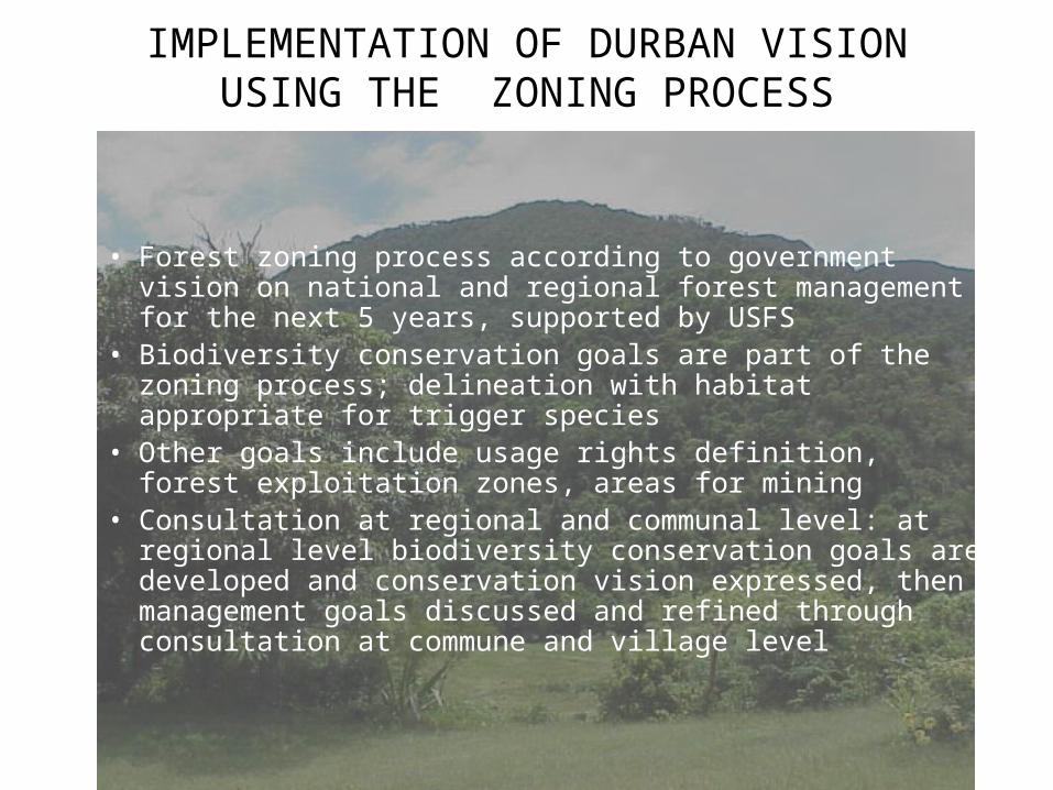
IMPLEMENTATION OF DURBAN VISION USING THE ZONING PROCESS
• Forest zoning process according to government vision on national and regional forest management for the next 5 years, supported by USFS
• Biodiversity conservation goals are part of the zoning process; delineation with habitat appropriate for trigger species
• Other goals include usage rights definition, forest exploitation zones, areas for mining
• Consultation at regional and communal level: at regional level biodiversity conservation goals are developed and conservation vision expressed, then management goals discussed and refined through consultation at commune and village level
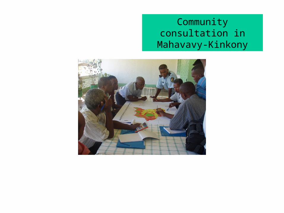
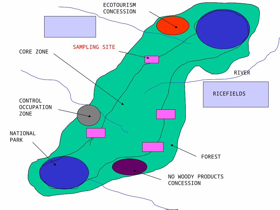
Community consultation in Mahavavy-Kinkony
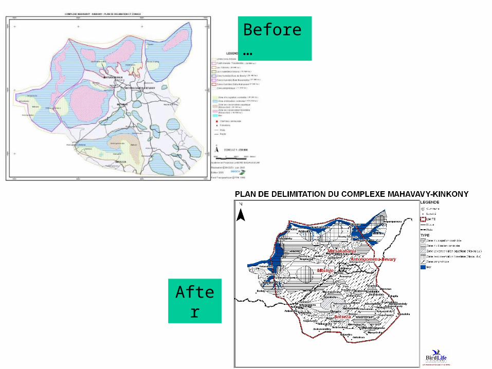
Before…
After
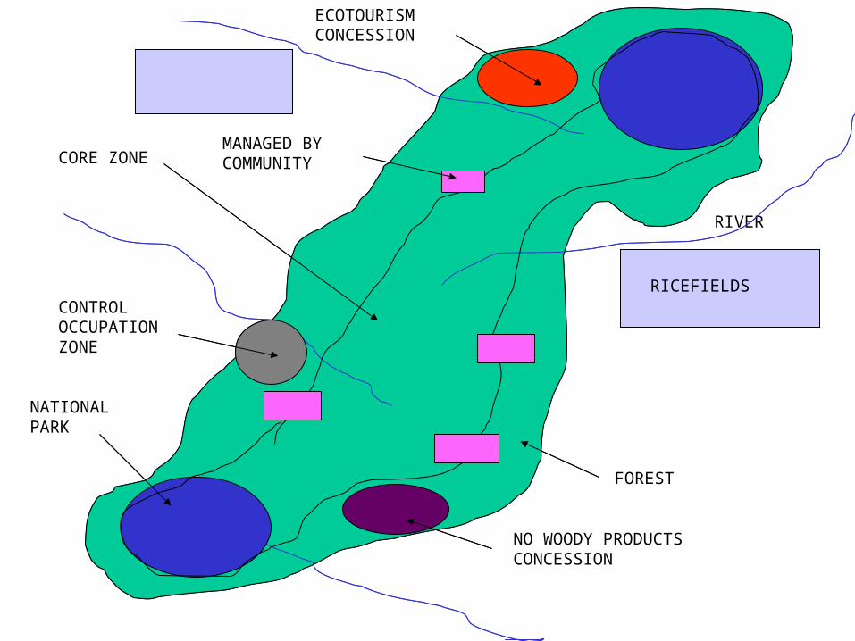
FOREST
RIVER
RICEFIELDSCONTROL OCCUPATION ZONE
NO WOODY PRODUCTS CONCESSION
RICEFIELDS
CORE ZONEMANAGED BY COMMUNITY
NATIONAL PARK
ECOTOURISM CONCESSION

Examples for delineation
For terrestrial KBAs:• Daraina: easy to delineate because data is available
and the trigger species only occur in forest• Ambohitantely: more difficult because of data
inaccuracies of the distribution maps of the trigger species
For freshwater KBAs:• Restricted range fish species: just delineate the river
reaches where it occurs• Distribution throughout the basins: not delineated

Presence of Propithecus tattersalii
DARAINA KBA
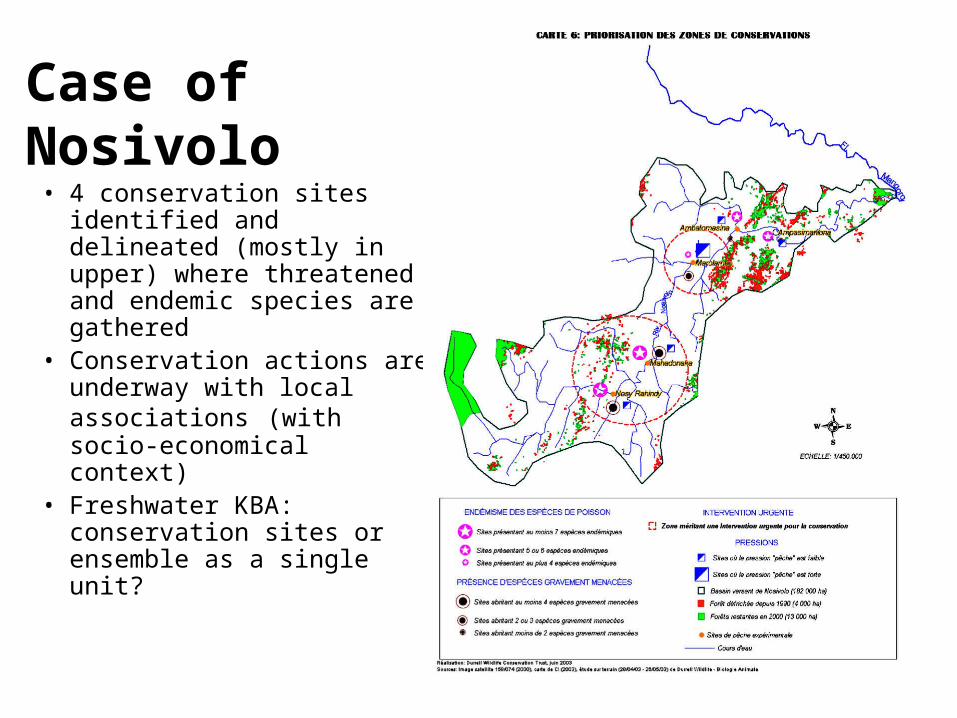
Case of Nosivolo• 4 conservation sites
identified and delineated (mostly in upper) where threatened and endemic species are gathered
• Conservation actions are underway with local associations (with socio-economical context)
• Freshwater KBA: conservation sites or ensemble as a single unit?
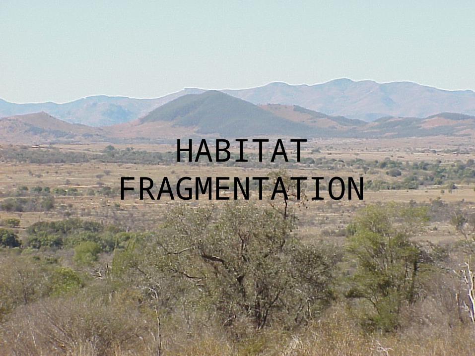
HABITAT FRAGMENTATION
NATURAL FRAGMENTATION
– Frequent for freshwater habitat (fish): there are substantial differences in ichthyofaunal assemblage in the upper and lower eastern river basins that have traditionally been considered as a single hydrographic site
– Naturally isolated rare habitats: for instance, forests on unusual substrates- Ambatovy/Analamay, swallowhole, dunes, mangroves…

CONTINUOUS HABITAT WITH POOR SPECIES DATA
AND NO USEFUL LAND MANAGEMENT UNITS

CONTINUOUS HABITAT WITH POOR SPECIES DATA
• Inside the corridor there is a portion where species data don’t exist (e.g. Vondrozo-Karianga before 2005)
• Data available only on famous taxa as Mammals, Reptiles, Amphibians, Birds
• KBAs are delimited around habitat (forest in altitudinal bands, for instance) supposed by extrapolation to contain trigger species
• There is no reason not to identify KBAs even where data are imperfect, and that these can be refined later as data improve
FOREST
RIVER
RICEFIELDSCONTROL OCCUPATION ZONE
NO WOODY PRODUCTS CONCESSION
RICEFIELDS
CORE ZONESAMPLING SITE
NATIONAL PARK
ECOTOURISM CONCESSION