Embed Size (px)
Citation preview
IS 466 ADVANCED TOPICS IN INFORMATION SYSTEMS
LECTURER : NOUF ALMUJALLY
20 – 11 – 2011
College Of Computer Science and Information, Information Systems Department
2
Objectives
• GIS software• GIS software types• GIS software tasks• Introduction to ArcGIS
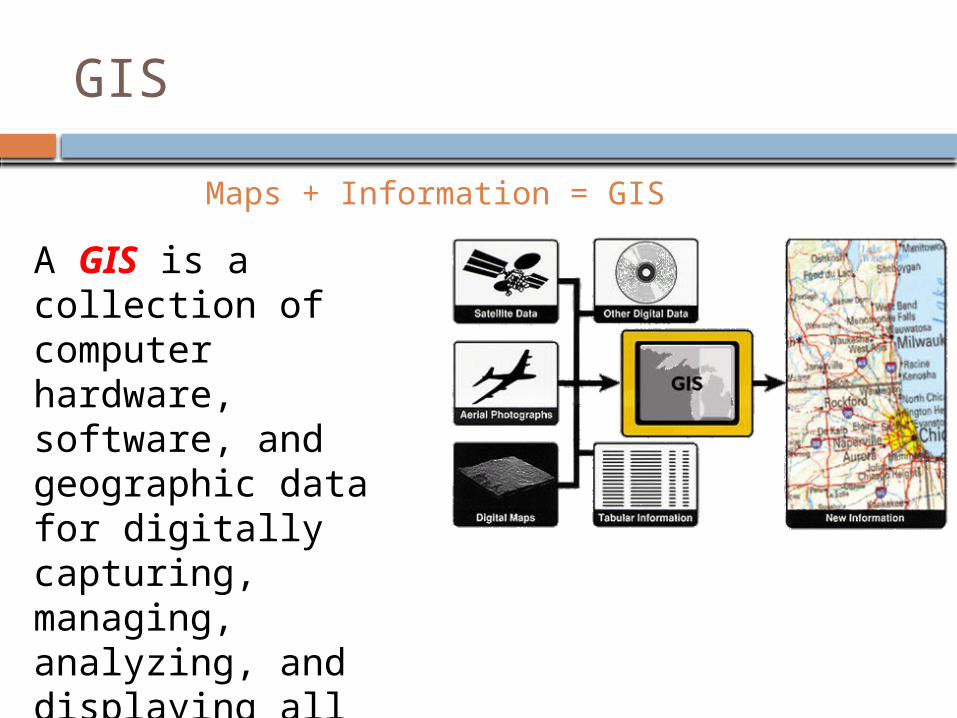
Maps + Information = GIS
A GIS is a collection of computer hardware, software, and geographic data for digitally capturing, managing, analyzing, and displaying all forms of geographically referenced information.
GIS
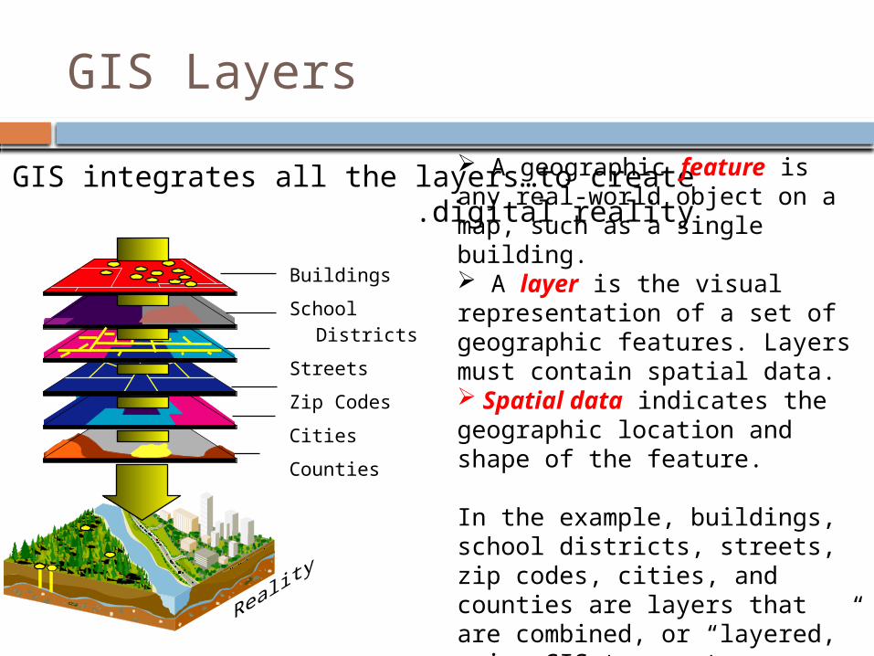
GIS integrates all the layers…to create digital reality.
Buildings
School Districts
Streets
Zip Codes
Cities
Counties
A geographic feature is any real-world object on a map, such as a single building. A layer is the visual representation of a set of geographic features. Layers must contain spatial data. Spatial data indicates the geographic location and shape of the feature.
In the example, buildings, school districts, streets, zip codes, cities, and counties are layers that are combined, or “layered,” using GIS to create reality.
GIS Layers
5
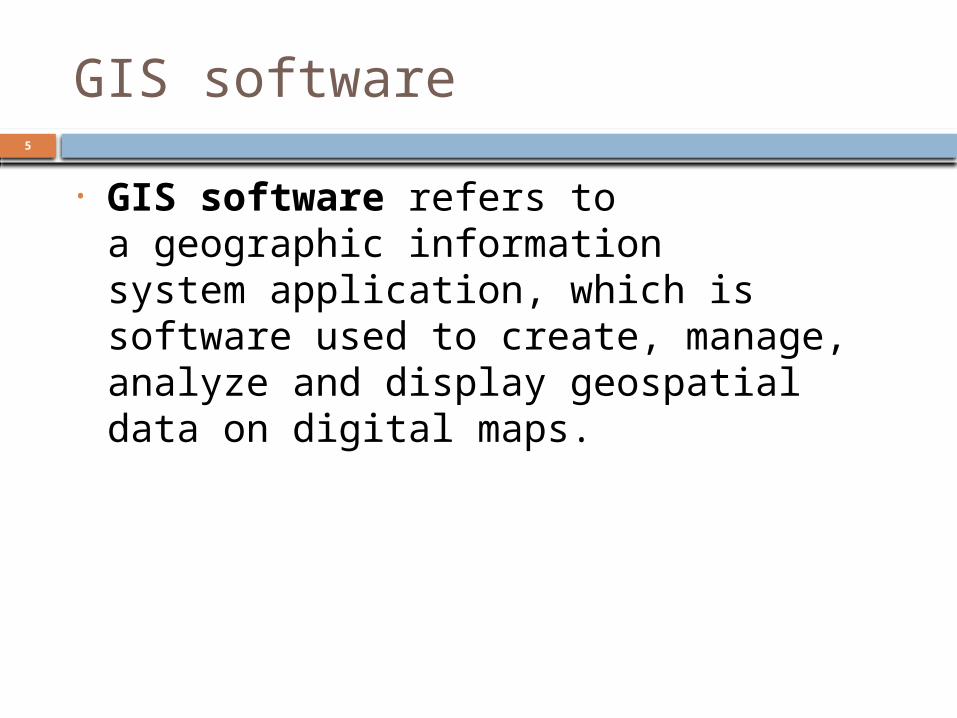
GIS software
• GIS software refers to a geographic information system application, which is software used to create, manage, analyze and display geospatial data on digital maps.
6
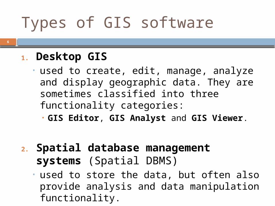
Types of GIS software
1. Desktop GIS• used to create, edit, manage, analyze and
display geographic data. They are sometimes classified into three functionality categories:• GIS Editor, GIS Analyst and GIS Viewer.
2. Spatial database management systems (Spatial DBMS) • used to store the data, but often also
provide analysis and data manipulation functionality.
7
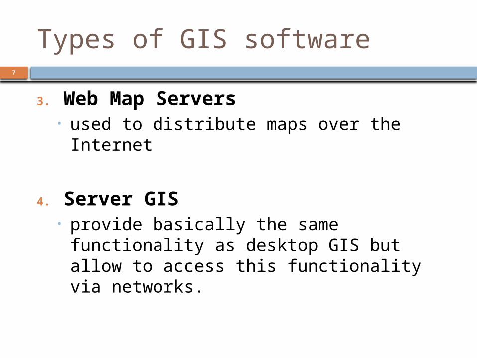
Types of GIS software
3. Web Map Servers• used to distribute maps over the Internet
4. Server GIS• provide basically the same functionality as
desktop GIS but allow to access this functionality via networks.
8
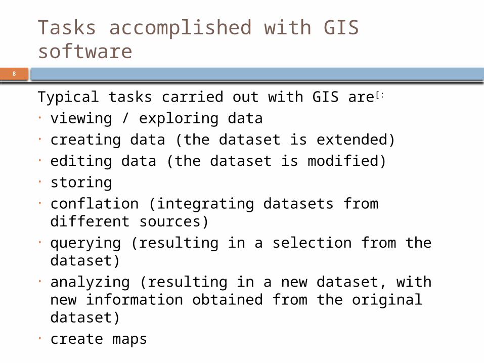
Tasks accomplished with GIS software
Typical tasks carried out with GIS are[:
• viewing / exploring data• creating data (the dataset is extended)• editing data (the dataset is modified)• storing• conflation (integrating datasets from different
sources)• querying (resulting in a selection from the
dataset)• analyzing (resulting in a new dataset, with new
information obtained from the original dataset)• create maps
9 Introduction to ArcGIS
10
Introduction to ArcGIS
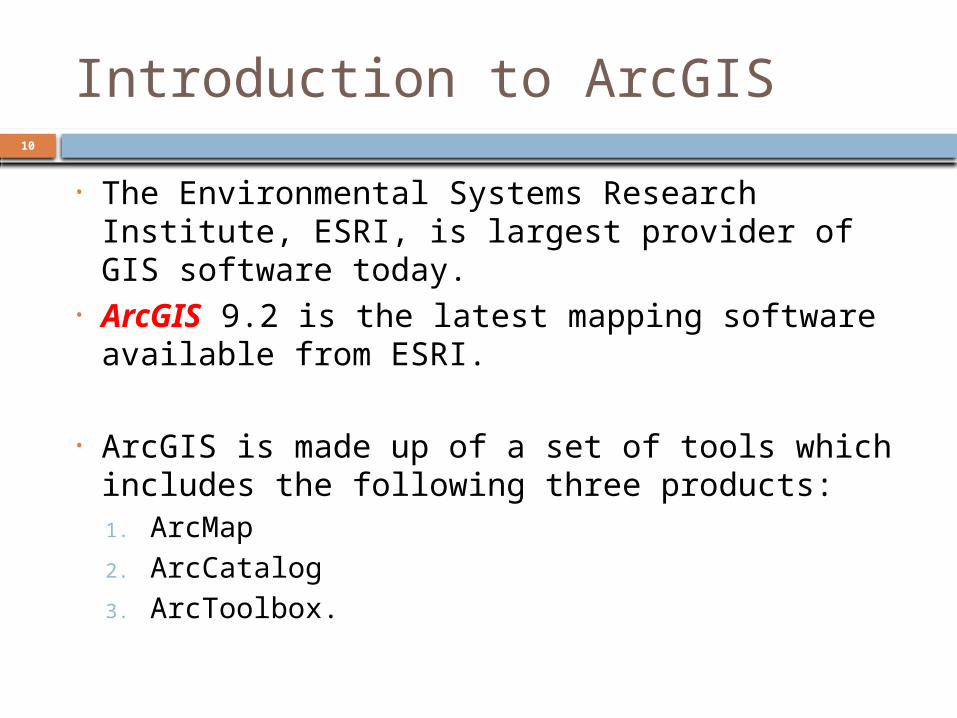
• The Environmental Systems Research Institute, ESRI, is largest provider of GIS software today.
• ArcGIS 9.2 is the latest mapping software available from ESRI.
• ArcGIS is made up of a set of tools which includes the following three products:1. ArcMap2. ArcCatalog3. ArcToolbox.
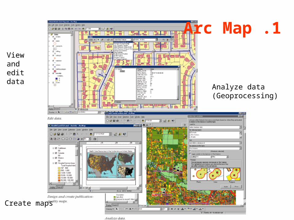
1 .Arc Map
Create maps
Viewand edit data
Analyze data(Geoprocessing)
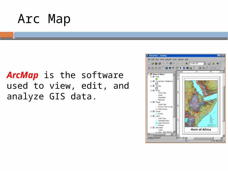
ArcMap is the software used to view, edit, and analyze GIS data.
Arc Map
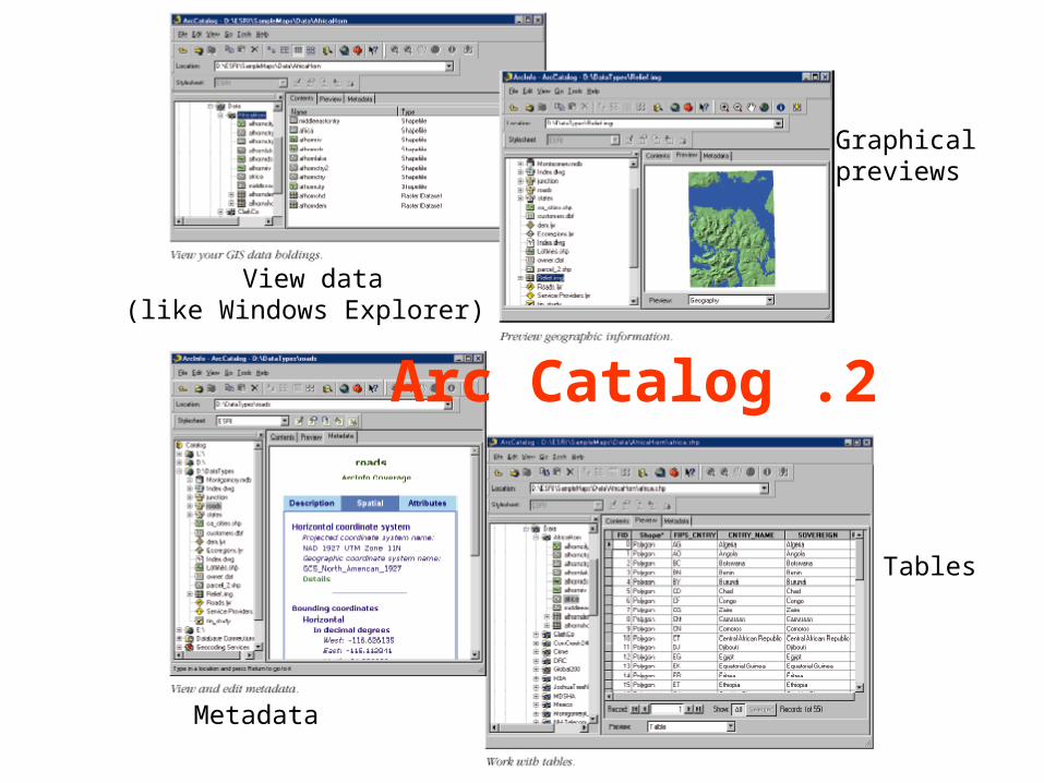
2 .Arc Catalog
View data (like Windows Explorer)
Graphicalpreviews
Metadata
Tables
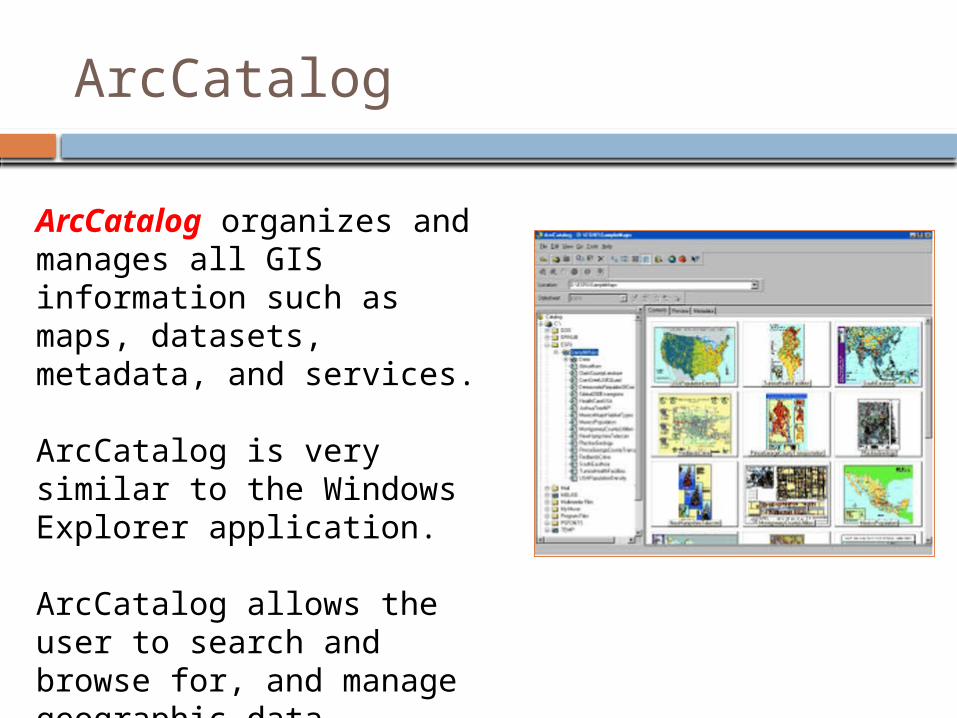
ArcCatalog organizes and manages all GIS information such as maps, datasets, metadata, and services.
ArcCatalog is very similar to the Windows Explorer application.
ArcCatalog allows the user to search and browse for, and manage geographic data.
ArcCatalog
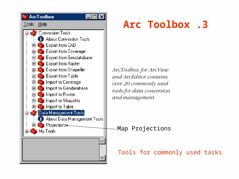
3 .Arc Toolbox
Map Projections
Tools for commonly used tasks
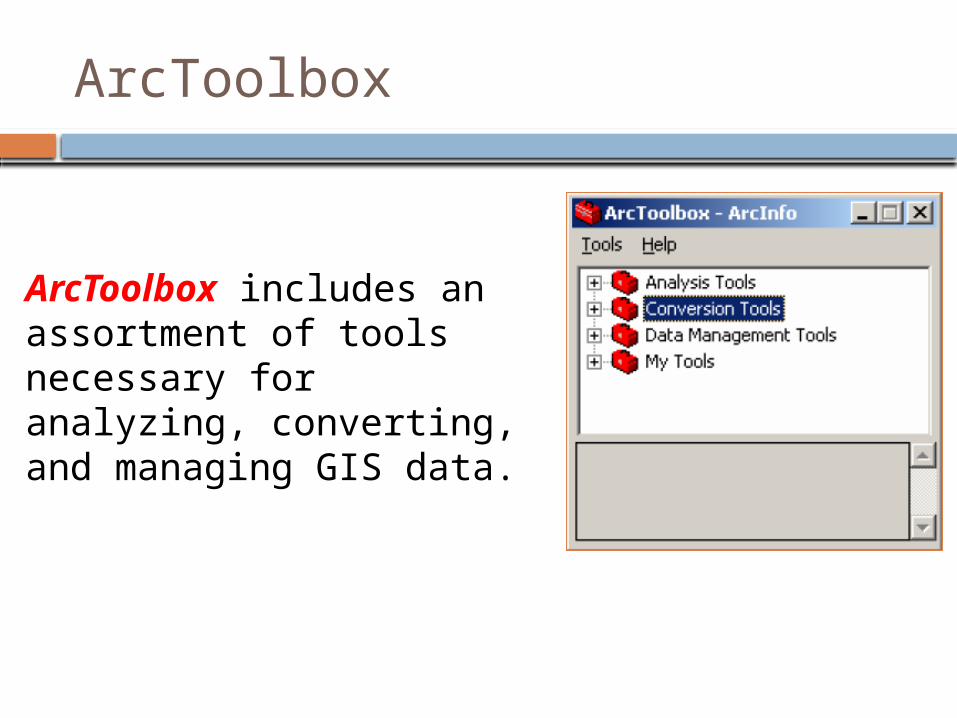
ArcToolbox includes an assortment of tools necessary for analyzing, converting, and managing GIS data.
ArcToolbox
17
Questions ??