Embed Size (px)
Citation preview
Introduction to Thematic Mapping
SP 240 CartographyAlex Chaucer
Spatial Information Technology
Center
Dent’s Cartography
• Updates from fourth edition Chapter on GIS Current literature used
Focuses on: Philosophy/theory Technology
This text maintains a focus on cartographic designdesign WWW sites for cartographers in appendix
Spatial Information Technology
Center
Cartography Organization
• Thematic Mapping Essentials Chapters 1-6
• Techniques of Quantitative Thematic Mapping Chapters 7-12
• Designing Thematic Maps Chapters 13-15
• Electronic Map Production Chapters 16-17
• Effective Graphing for Cartographers Chapter 18
Spatial Information Technology
Center
Thematic Mapping Essentials
1. Introduction to Thematic Mapping2. The Round Earth to Flat Map: Map Projections for
Designers3. Employment of Projections and Thematic Base-Map
Compilation4. The Nature of Geographic Phenomena and the
Selection of Thematic Map Symbols5. Processing Geographic Data: Common Measures
Useful in Thematic Mapping6. Geographic Information Systems
Spatial Information Technology
Center
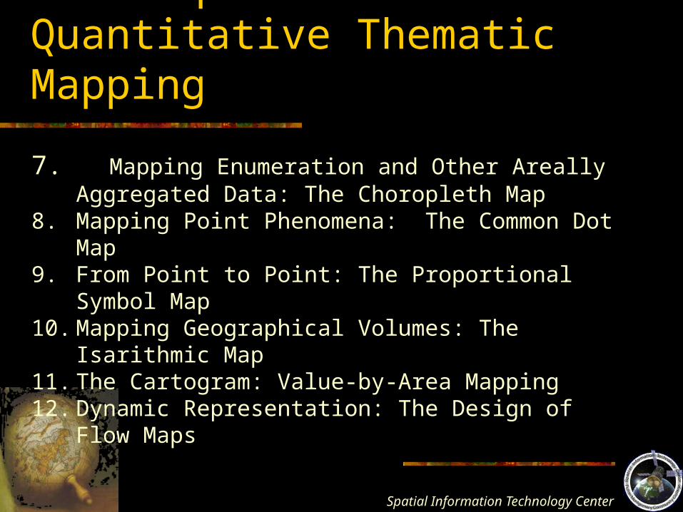
Techniques of Quantitative Thematic Mapping
7. Mapping Enumeration and Other Areally Aggregated Data: The Choropleth Map
8. Mapping Point Phenomena: The Common Dot Map9. From Point to Point: The Proportional Symbol Map10. Mapping Geographical Volumes: The Isarithmic Map11. The Cartogram: Value-by-Area Mapping12. Dynamic Representation: The Design of Flow Maps
Spatial Information Technology
Center
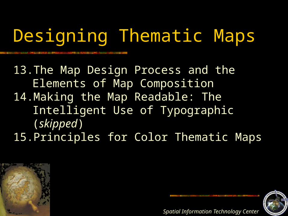
Designing Thematic Maps
13. The Map Design Process and the Elements of Map Composition
14. Making the Map Readable: The Intelligent Use of Typographic (skipped)
15. Principles for Color Thematic Maps
Spatial Information Technology
Center
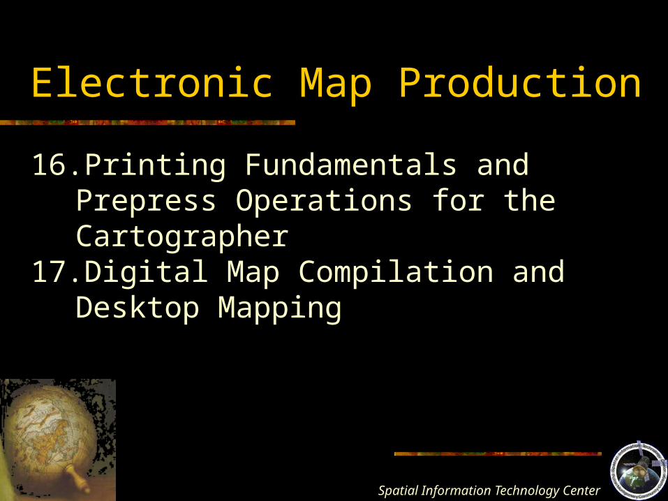
Electronic Map Production
16.Printing Fundamentals and Prepress Operations for the Cartographer
17.Digital Map Compilation and Desktop Mapping
Spatial Information Technology
Center
Effective Graphing for Cartographers
18. Effective Graphing For Cartographers
Chapter 1: Introduction to Thematic Mapping
Spatial Information Technology
Center
Some Trends
• It is easy to make a map today, but it is difficult to make a good map
• Many people make maps of dubious quality
• Less people are trained in cartography and map design
• Maps are everywhere
Spatial Information Technology
Center
The Realm of Maps
• Maps…communicationcommunication devices. “vehicles for the transmission of knowledge” and for analysis
Spatial Information Technology
Center
The Map Defined
Map – a graphic representation of the milieu milieu – all aspects of cultural and physical environment
+ this also includes mental abstractionsie. People’s attitudes
- does not include mental maps for our purposes maps are physical objects that
can be touched
Spatial Information Technology
Center
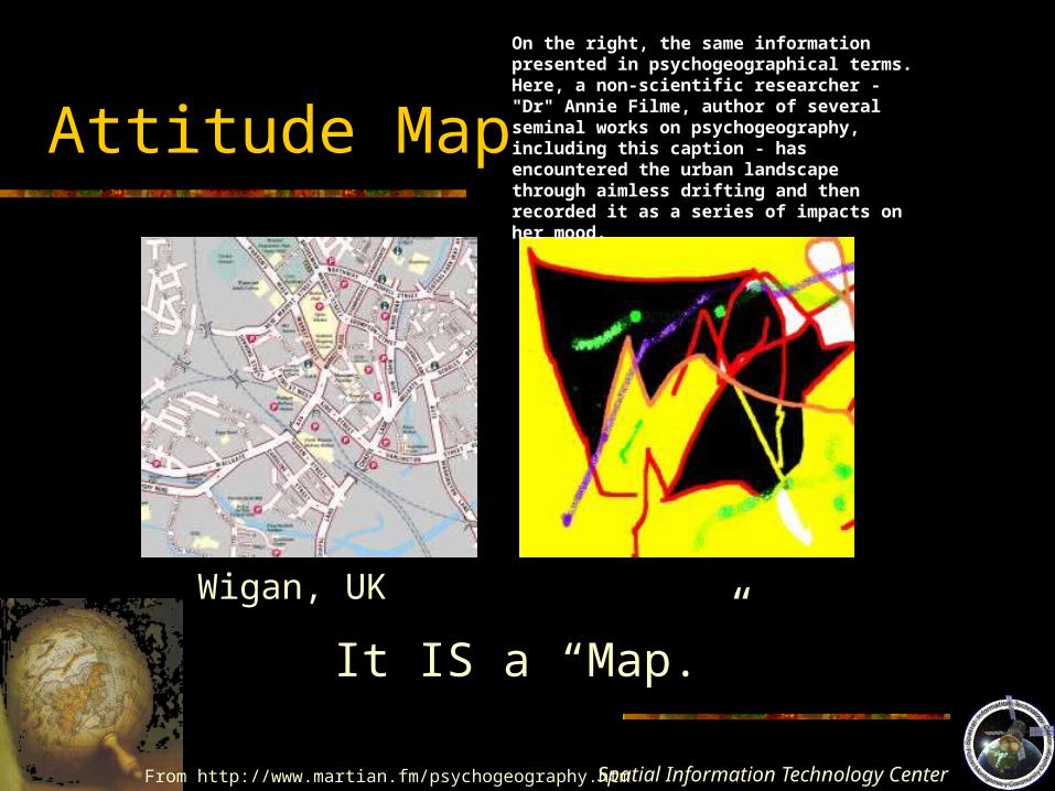
Attitude Map
From http://www.martian.fm/psychogeography.htm
Wigan, UK
On the right, the same information presented in psychogeographical terms. Here, a non-scientific researcher - "Dr" Annie Filme, author of several seminal works on psychogeography, including this caption - has encountered the urban landscape through aimless drifting and then recorded it as a series of impacts on her mood.
It IS a “Map.”
Spatial Information Technology
Center
What is Cartography?
Mapmaking – the processes associated with the actual production of maps.
Cartography – broader than mapmaking, including the study of the philosophical and theoretical rules for mapmaking, including the study of map communication.
Spatial Information Technology
Center
What is Cartography?
“The art, science, and technology of making maps, together with their study as scientific documents and works of art. In this context may be regarded as including all types of maps, plans, charts, and sections, three-dimensional models and globes representing the Earth and any celestial bodies at any scale.”
International Cartographic Association
Spatial Information Technology
Center
Geographic Cartography
• Distinct from other branches of cartography• Is the tool and product of the geographer• The geographic cartographer understands the
spatial perspective of the physical environment and has the skills to abstract and symbolize this environment
• Geographic cartography is a branch of broader science, and geographic cartographers understand spatial methodology
Spatial Information Technology
Center
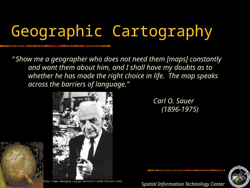
Geographic Cartography
“Show me a geographer who does not need them [maps] constantly and want them about him, and I shall have my doubts as to whether he has made the right choice in life. The map speaks across the barriers of language.”
Carl O. Sauer (1896-1975)
http://www.amergeog.org/gr/abstract/Jan96-Parsons.html
Spatial Information Technology
Center
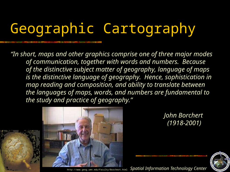
Geographic Cartography
“In short, maps and other graphics comprise one of three major modes of communication, together with words and numbers. Because of the distinctive subject matter of geography, language of maps is the distinctive language of geography. Hence, sophistication in map reading and composition, and ability to translate between the languages of maps, words, and numbers are fundamental to the study and practice of geography.”
John Borchert (1918-2001)
http://www.geog.umn.edu/Faculty/Borchert.html
Spatial Information Technology
Center
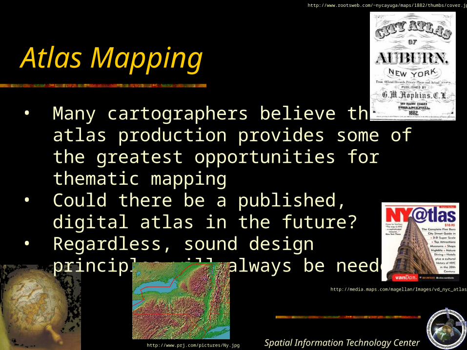
Atlas Mapping
• Many cartographers believe that atlas production provides some of the greatest opportunities for thematic mapping
• Could there be a published, digital atlas in the future?
• Regardless, sound design principles will always be needed.
http://www.rootsweb.com/~nycayuga/maps/1882/thumbs/cover.jpg
http://media.maps.com/magellan/Images/vd_nyc_atlas_c.jpg
http://www.prj.com/pictures/Ny.jpg
Spatial Information Technology
Center
Cartography and GIS
• A “blurred” boundary• There is great ease in the thematic display of
socioeconomic data in a GIS• GIS “assumes no knowledge of cartographic
methods nor any fundamental ideas about good design principles”
• Basic “wizard” created maps in GIS often don’t offer the best thematic cartography
Spatial Information Technology
Center
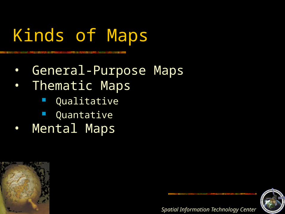
Kinds of Maps
• General-Purpose Maps• Thematic Maps
Qualitative Quantative
• Mental Maps
Spatial Information Technology
Center
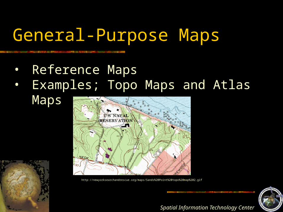
General-Purpose Maps
• Reference Maps• Examples; Topo Maps and Atlas Maps
http://newyorksearchandrescue.org/maps/Sands%20Point%20topo%20map%202.gif

Spatial Information Technology
Center
Thematic Maps
• Allow you to view the spatial distribution of phenomena
• A “map designed to show particulars features or concepts”
• Qualitative To show the spatial distribution or location of kind
• Quantitative To display spatial aspects of numerical data
Spatial Information Technology
Center
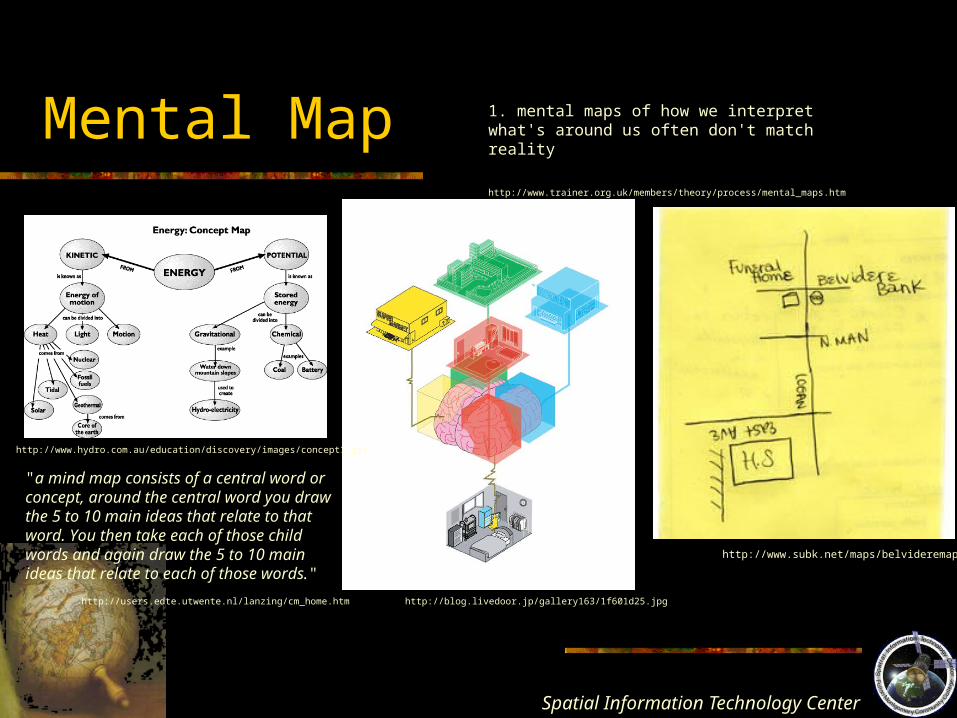
Mental Map
1. mental maps of how we interpret what's around us often don't match reality
http://www.trainer.org.uk/members/theory/process/mental_maps.htm
http://www.subk.net/maps/belvideremap.jpg
http://blog.livedoor.jp/gallery163/1f601d25.jpg
http://www.hydro.com.au/education/discovery/images/concept1.gif
"a mind map consists of a central word or concept, around the central word you draw the 5 to 10 main ideas that relate to that word. You then take each of those child words and again draw the 5 to 10 main ideas that relate to each of those words."
http://users.edte.utwente.nl/lanzing/cm_home.htm
Spatial Information Technology
Center
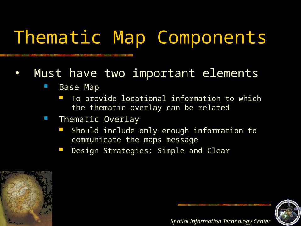
Thematic Map Components
• Must have two important elements Base Map
To provide locational information to which the thematic overlay can be related
Thematic Overlay Should include only enough information to communicate the
maps message Design Strategies: Simple and Clear

Spatial Information Technology
Center
Map Scale
• The amount of reduction that takes place when going from real world dimensions to the new mapped area on the map plane
• The ratio of map distance to earth distance, 1:25,000
http://www.rcss.org.uk/How%20to%20find%20us/how%20to%20find%20us.htm#Small%20scale%20street%20map
Large Scale vs. Small Scale
Spatial Information Technology
Center
Cartographic Abstraction and Generalization
• Choosing the right abstractions for the map’s purpose
• Involve Selection - choosing early in the design Classification - which objects go into groups Simplification - smoothing lines, etc. Symbolization - symbols to represent real items
Spatial Information Technology
Center
Cartography: Art or Science??
The art in cartography is the cartographer’s ability to synthesize the various ingredients involved in the abstraction process into an organized whole that facilitates the communication of ideas.
Spatial Information Technology
Center
Thematic Map Design
Map DesignThe aggregate of all the thought processes that
cartographers go through during the abstraction phase of the cartographic process. It involves all the decision-making.
Involves intellectual and visual processes.
Spatial Information Technology
Center
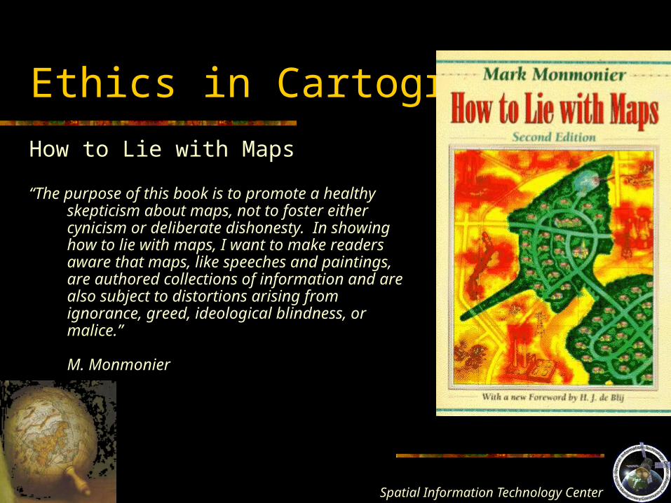
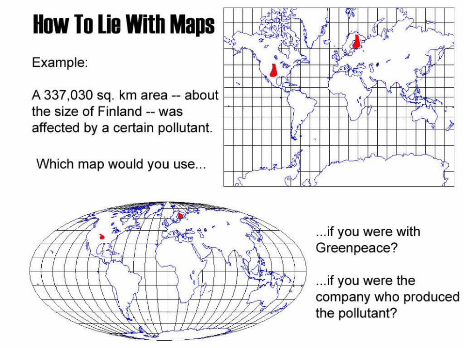
Ethics in Cartography
How to Lie with Maps
“The purpose of this book is to promote a healthy skepticism about maps, not to foster either cynicism or deliberate dishonesty. In showing how to lie with maps, I want to make readers aware that maps, like speeches and paintings, are authored collections of information and are also subject to distortions arising from ignorance, greed, ideological blindness, or malice.”
M. Monmonier
Spatial Information Technology
Center
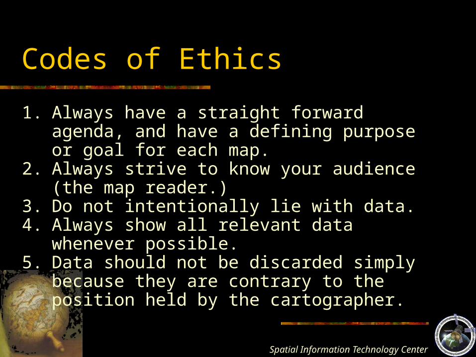
Codes of Ethics
1. Always have a straight forward agenda, and have a defining purpose or goal for each map.
2. Always strive to know your audience (the map reader.)
3. Do not intentionally lie with data.4. Always show all relevant data whenever
possible.5. Data should not be discarded simply because
they are contrary to the position held by the cartographer.
Spatial Information Technology
Center
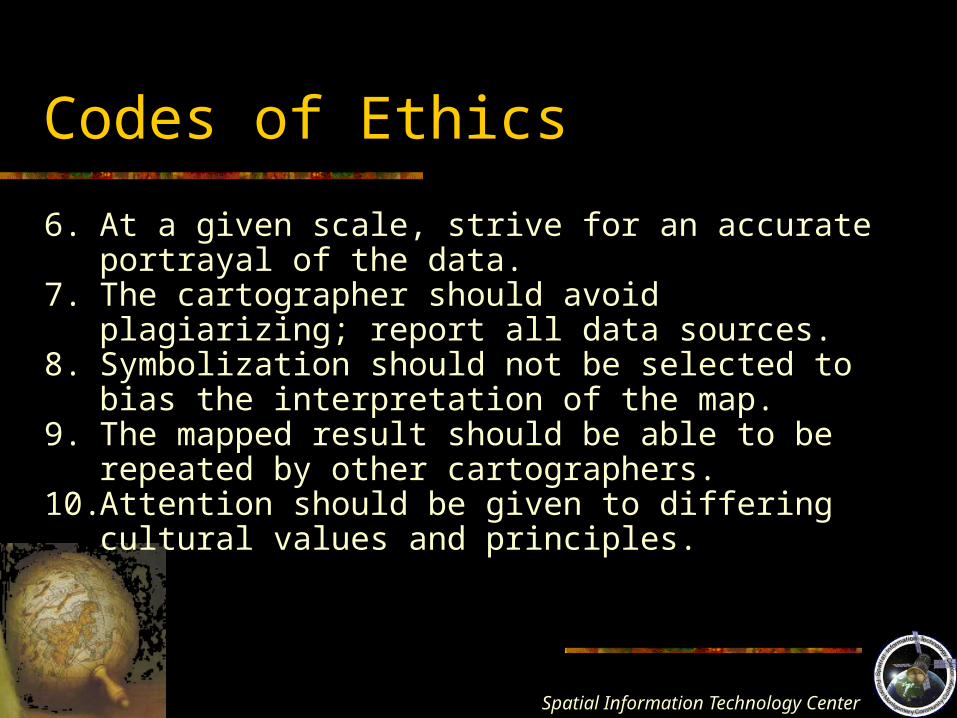
Codes of Ethics
6. At a given scale, strive for an accurate portrayal of the data.
7. The cartographer should avoid plagiarizing; report all data sources.
8. Symbolization should not be selected to bias the interpretation of the map.
9. The mapped result should be able to be repeated by other cartographers.
10. Attention should be given to differing cultural values and principles.
Spatial Information Technology
Center