Embed Size (px)
Citation preview
Introduction to ArcGIS GIS Server & Web GIS Applications
Course Introduction
ArcGIS GIS Server is the core server geographic information sys-tem (GIS) software made by Esri which is used for creating and managing GIS Web services, applications, and data. Web GIS im-plemented with ArcGIS GIS Server allows maps and geographic information to be accessed anywhere, anytime, on any device. This includes web browsers, smartphones, tablets, and desktop applica-tions.
This course teaches how to successfully plan, deploy, configure, and manage an ArcGIS GIS Server system that enables GIS content sharing across the organization.
Your Achievements
Special certificate for each participant
Online tutorials & workbooks
Other learning resources
Facilities Provided
Air conditioned training rooms
Lunch , tea and other refreshments
Understanding the GIS Spectrum
Desktop GIS, Server GIS, Web GIS & Distributed GIS
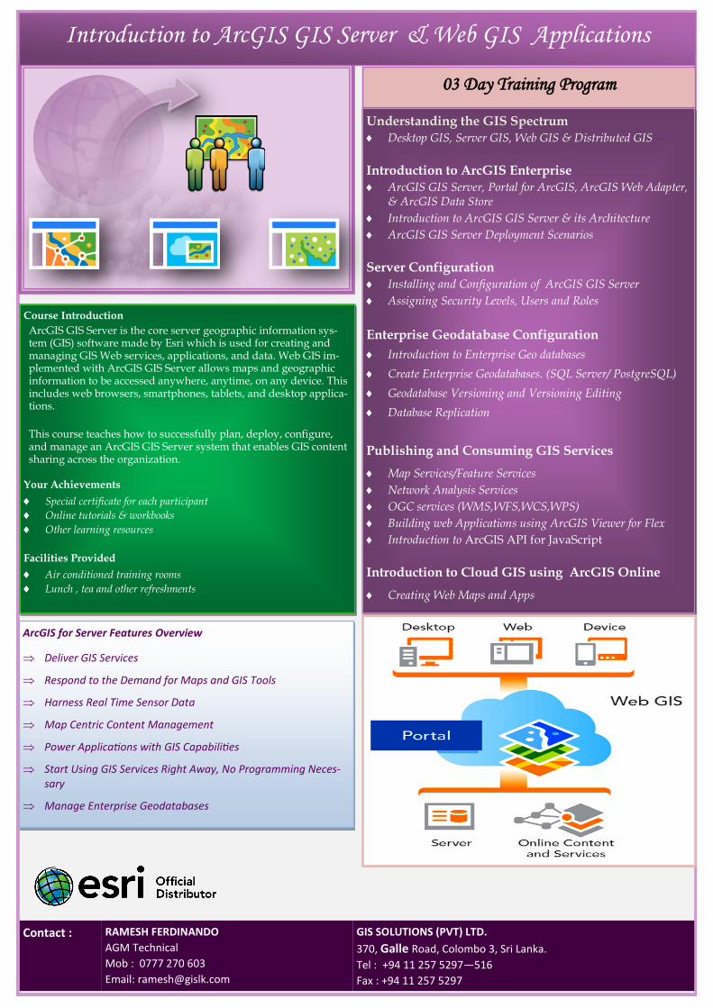
Introduction to ArcGIS Enterprise
ArcGIS GIS Server, Portal for ArcGIS, ArcGIS Web Adapter, & ArcGIS Data Store
Introduction to ArcGIS GIS Server & its Architecture
ArcGIS GIS Server Deployment Scenarios
Server Configuration Installing and Configuration of ArcGIS GIS Server
Assigning Security Levels, Users and Roles
Enterprise Geodatabase Configuration
Introduction to Enterprise Geo databases
Create Enterprise Geodatabases. (SQL Server/ PostgreSQL)
Geodatabase Versioning and Versioning Editing
Database Replication
Publishing and Consuming GIS Services
Map Services/Feature Services
Network Analysis Services
OGC services (WMS,WFS,WCS,WPS)
Building web Applications using ArcGIS Viewer for Flex
Introduction to ArcGIS API for JavaScript
Introduction to Cloud GIS using ArcGIS Online
Creating Web Maps and Apps
GIS SOLUTIONS (PVT) LTD.
370, Galle Road, Colombo 3, Sri Lanka.
Tel : +94 11 257 5297—516
Fax : +94 11 257 5297
RAMESH FERDINANDO
AGM Technical
Mob : 0777 270 603
Email: [email protected]
Contact :
03 Day Training Program
ArcGIS for Server Features Overview
Deliver GIS Services
Respond to the Demand for Maps and GIS Tools
Harness Real Time Sensor Data
Map Centric Content Management
Power Applications with GIS Capabilities
Start Using GIS Services Right Away, No Programming Neces-sary
Manage Enterprise Geodatabases