Embed Size (px)
Citation preview
Introduction to ArcGIS forEnvironmental Scientists
Module 1 – Data Visualization
Chapter 1 – GIS Basics
1-2 Introduction to ArcGIS
Logistics
• Start, end, and lunch times• Restrooms and sustenance• Phone/internet access• Parking and ID badges (if applicable)
1-3 Introduction to ArcGIS
Introductions
•Who are you?• Any GIS background?•What do you want to get out of the class?
1-4 Introduction to ArcGIS
Day 1 Topics
• Become familiar with the ArcMap interface• Learn where to find spatial data• Learn how to import and symbolize data in ArcMap• Create publication quality output maps
1-5 Introduction to ArcGIS
Day 2 Topics
• Coordinate systems and map projections• Spatial and attribute queries• Table operations• Editing
1-6 Introduction to ArcGIS
Day 3 Topics
• Spatial analysis tools•Model Builder• Address geocoding
1-7 Introduction to ArcGIS
Chapter 1 Objectives
• Basic theory of GIS• ArcGIS structure• EPA/ESRI Enterprise License Agreement (ELA)
1-8 Introduction to ArcGIS
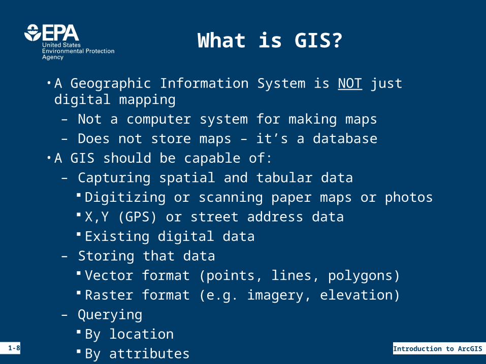
What is GIS?
• A Geographic Information System is NOT just digital mapping– Not a computer system for making maps– Does not store maps – it’s a database
• A GIS should be capable of:– Capturing spatial and tabular data
Digitizing or scanning paper maps or photos X,Y (GPS) or street address data Existing digital data
– Storing that data Vector format (points, lines, polygons) Raster format (e.g. imagery, elevation)
– Querying By location By attributes
1-9 Introduction to ArcGIS
More What is GIS?
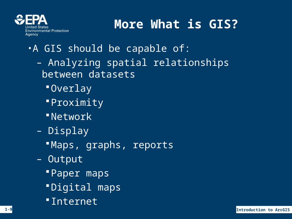
• A GIS should be capable of:– Analyzing spatial relationships between datasets
OverlayProximityNetwork
– DisplayMaps, graphs, reports
– OutputPaper mapsDigital maps Internet
1-10 Introduction to ArcGIS
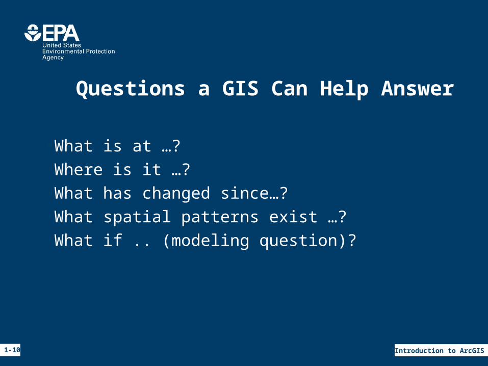
Questions a GIS Can Help Answer
•What is at …?•Where is it …?•What has changed since…?•What spatial patterns exist …?•What if .. (modeling question)?
1-11 Introduction to ArcGIS
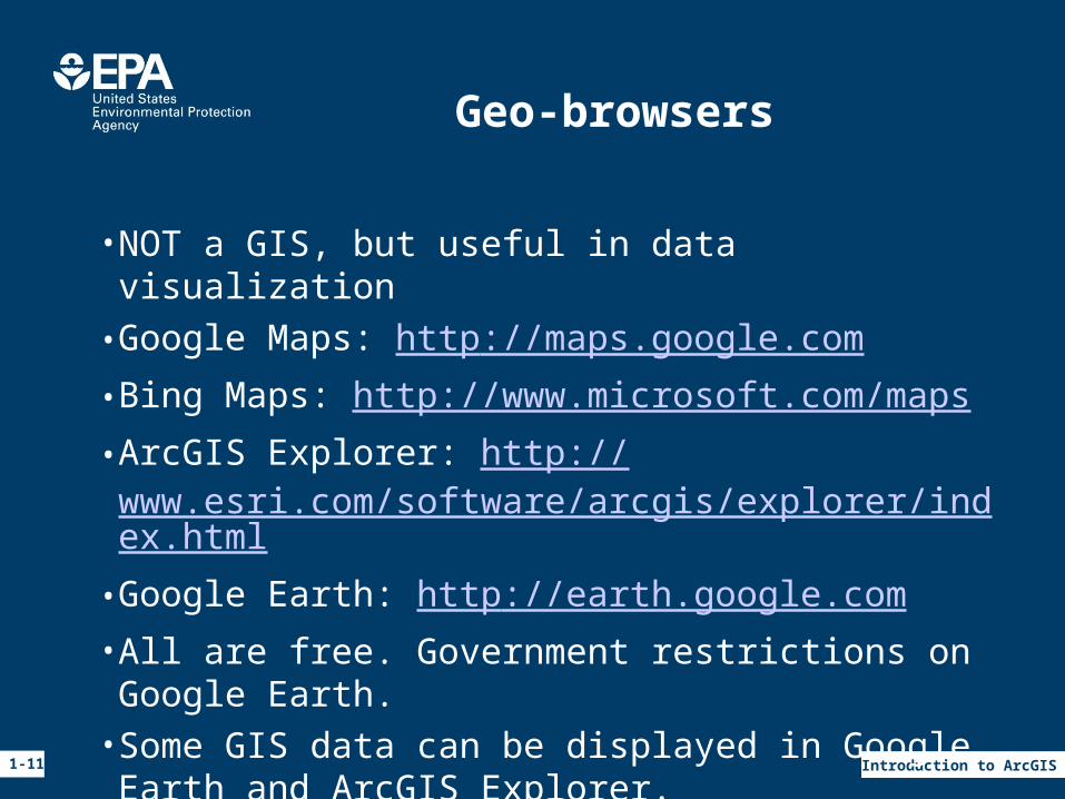
Geo-browsers
• NOT a GIS, but useful in data visualization•Google Maps: http://maps.google.com• Bing Maps: http://www.microsoft.com/maps• ArcGIS Explorer: http://www.esri.com/software/arcgis/explorer/index.html•Google Earth: http://earth.google.com• All are free. Government restrictions on Google Earth.• Some GIS data can be displayed in Google Earth and ArcGIS Explorer.
1-12 Introduction to ArcGIS
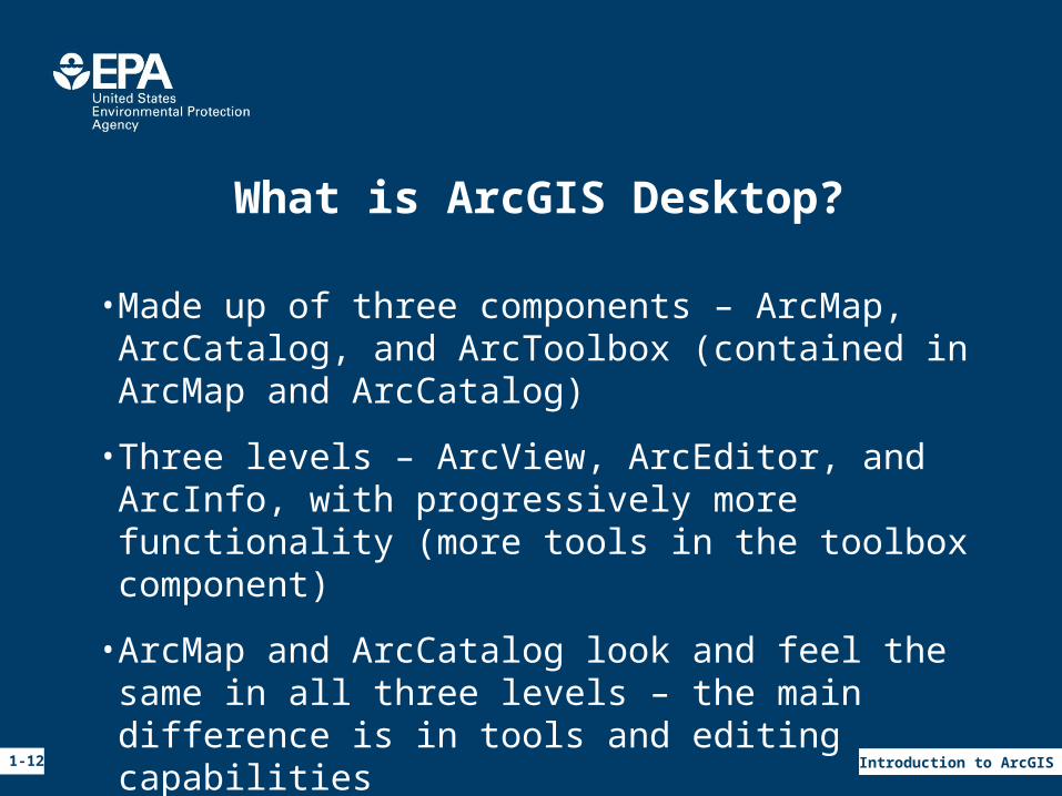
What is ArcGIS Desktop?
•Made up of three components – ArcMap, ArcCatalog, and ArcToolbox (contained in ArcMap and ArcCatalog)
• Three levels – ArcView, ArcEditor, and ArcInfo, with progressively more functionality (more tools in the toolbox component)
• ArcMap and ArcCatalog look and feel the same in all three levels – the main difference is in tools and editing capabilities
1-13 Introduction to ArcGIS
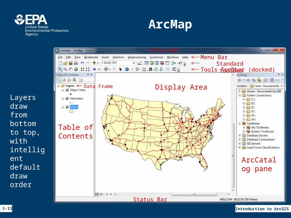
ArcMap
Title BarMenu BarStandard toolbar
Status Bar
Table ofContents
Display Area
Tools Toolbar (docked)
Data Frame
Layers draw from bottom to top, with intelligentdefault draw order
ArcCatalog pane
1-14 Introduction to ArcGIS
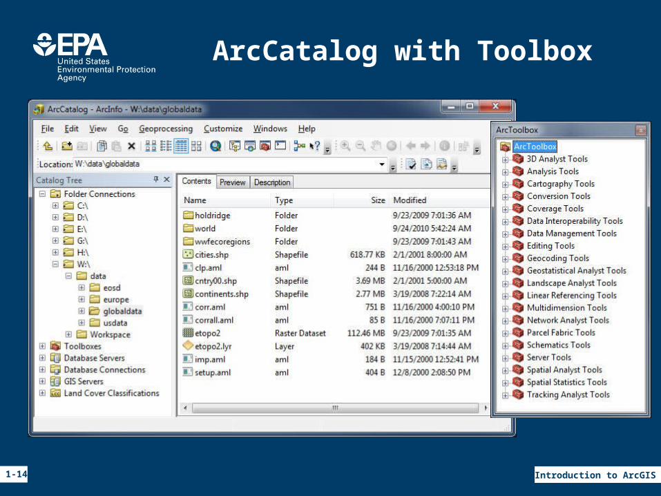
ArcCatalog with Toolbox
1-15 Introduction to ArcGIS
ArcGIS Terms
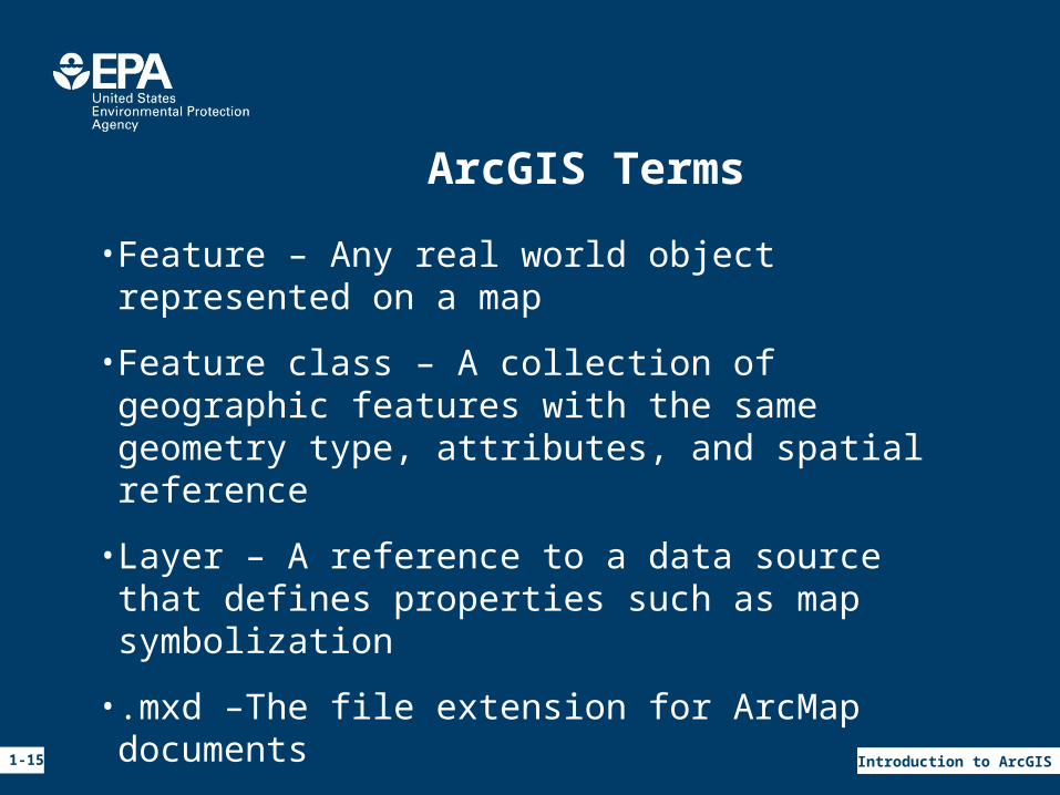
• Feature – Any real world object represented on a map
• Feature class – A collection of geographic features with the same geometry type, attributes, and spatial reference
• Layer – A reference to a data source that defines properties such as map symbolization
• .mxd –The file extension for ArcMap documents
• Data frame – Container for layers
1-16 Introduction to ArcGIS
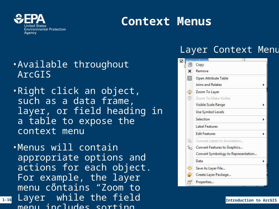
Context Menus
• Available throughout ArcGIS
• Right click an object, such as a data frame, layer, or field heading in a table to expose the context menu
•Menus will contain appropriate options and actions for each object. For example, the layer menu contains “Zoom to Layer” while the field menu includes sorting options.
Layer Context Menu
1-17 Introduction to ArcGIS
ESRI Resources
•Website: http://www.esri.com– Software documentation– Additional training, both self taught and instructor-led– Knowledge base and list-serve tech support
• Events– Annual user conference– Online seminars
• Data and maps DVD set• Software patches and service packs• ArcScripts and samples
1-18 Introduction to ArcGIS
EPA Resources
• Enterprise License Agreement– EPA-wide contact for licenses and technical support– E-mail: [email protected]– Website: http://intranet.epa.gov/rtpgis/– Most ESRI virtual campus classes are free, request
access code from esrisupport•GIS Workgroup• Listservers