Embed Size (px)
Citation preview
Social Studies 9Unit 5: The Geography of North America
Introducing GeographyThrough the 5 Themes
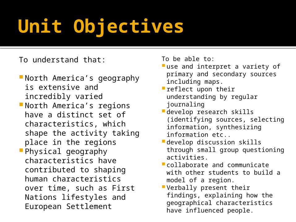
Unit Objectives
To understand that:
North America’s geography is extensive and incredibly varied
North America’s regions have a distinct set of characteristics, which shape the activity taking place in the regions
Physical geography characteristics have contributed to shaping human characteristics over time, such as First Nations lifestyles and European Settlement
To be able to: use and interpret a variety of
primary and secondary sources including maps.
reflect upon their understanding by regular journaling
develop research skills (identifying sources, selecting information, synthesizing information etc..
develop discussion skills through small group questioning activities.
collaborate and communicate with other students to build a model of a region.
Verbally present their findings, explaining how the geographical characteristics have influenced people.
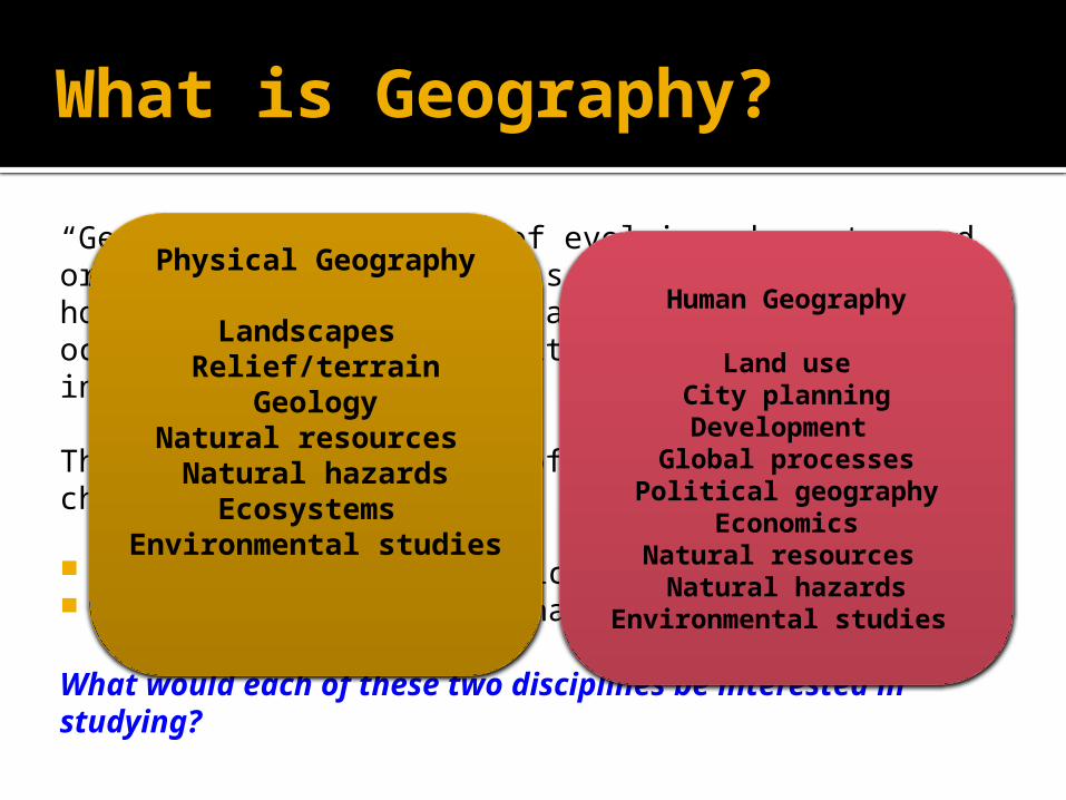
What is Geography?
“Geography is the study of evolving character and organization of the Earth’s surface. It is about how, why, and where human and natural activities occur and how these activities are interconnected.”
There are two main types of geography/geographical characteristic:
Physical geography/physical characteristics Human geography/human characteristics
What would each of these two disciplines be interested in studying?
Physical Geography
Landscapes Relief/terrain
GeologyNatural resources
Natural hazardsEcosystems
Environmental studies
Human Geography
Land useCity planningDevelopment
Global processesPolitical geography
EconomicsNatural resources
Natural hazardsEnvironmental studies
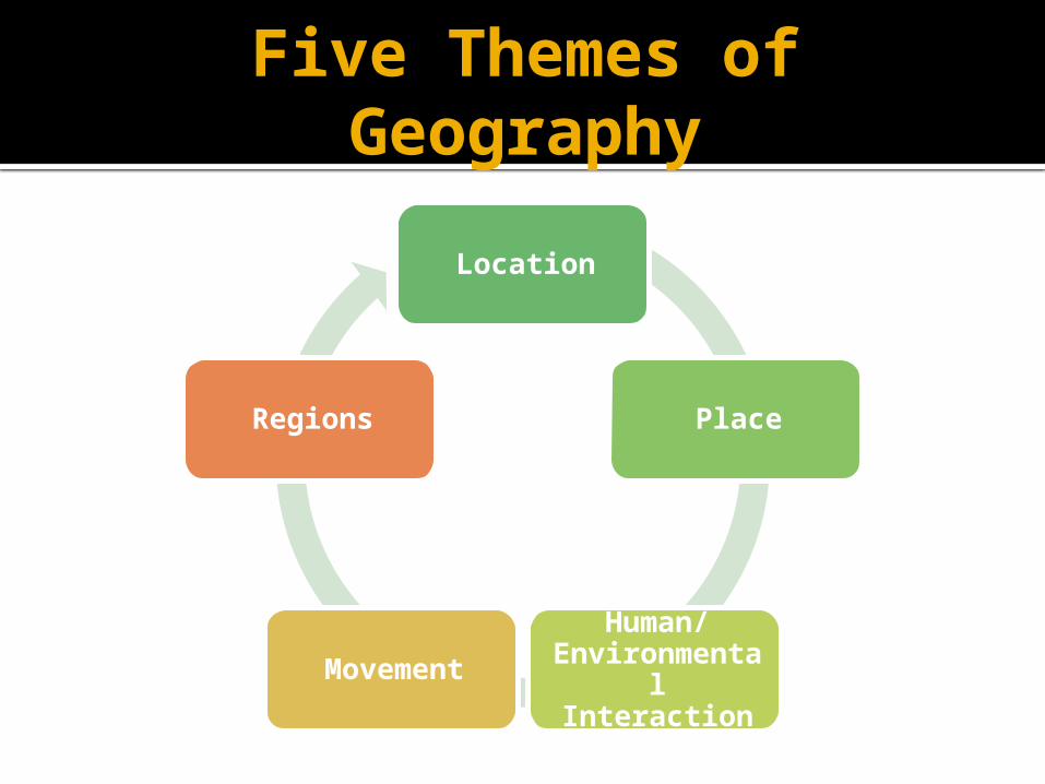
Five Themes of Geography
Location
Place
Human/Environmental Interaction
Movement
Regions
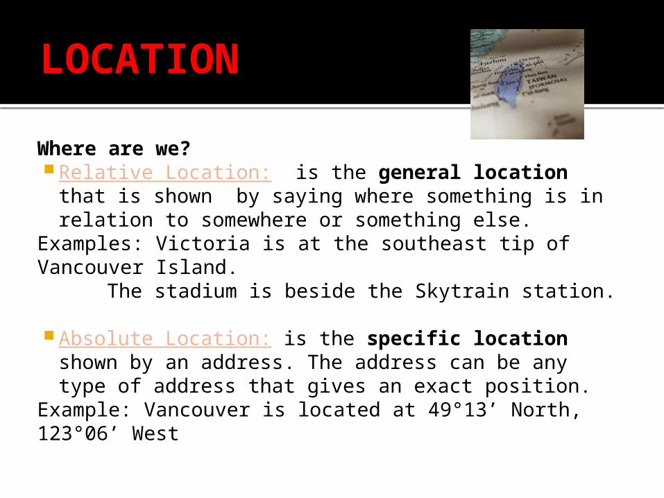
LOCATION
Where are we? Relative Location: is the general location that is
shown by saying where something is in relation to somewhere or something else.
Examples: Victoria is at the southeast tip of Vancouver Island.
The stadium is beside the Skytrain station.
Absolute Location: is the specific location shown by an address. The address can be any type of address that gives an exact position.
Example: Vancouver is located at 49°13’ North, 123°06’ West

PLACE
All places on the earth have distinct physical and human characteristics that give them the meaning and distinguish them from other places. Physical Characteristics: include things that occur
naturally, such as mountains, rivers, types of soil, wildlife, vegetation, climate, etc.
Example: is this place hilly or flat? Is it rainy or dry?
Human Characteristics: include what people have done to change the place by building homes and making a living.
Example: What is the settlement pattern? What are the kinds of economic and recreational activities?
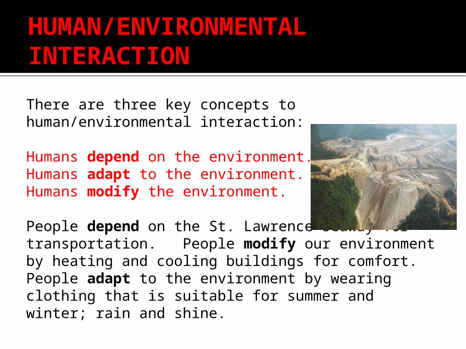
HUMAN/ENVIRONMENTAL INTERACTION
There are three key concepts to human/environmental interaction:
Humans depend on the environment.Humans adapt to the environment. Humans modify the environment.
People depend on the St. Lawrence seaway for transportation. People modify our environment by heating and cooling buildings for comfort. People adapt to the environment by wearing clothing that is suitable for summer and winter; rain and shine.
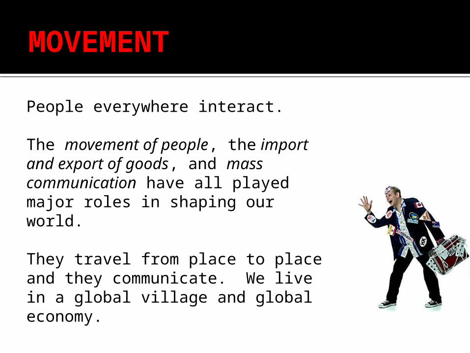
MOVEMENT
People everywhere interact.
The movement of people, the import and export of goods, and mass communication have all played major roles in shaping our world.
They travel from place to place and they communicate. We live in a global village and global economy.
REGIONS
A region is the basic unit of study in geography. A region is an area that displays a coherent unity in terms of the of the government, language, or possibly the landform or situation.
There are 3 basic types of Regions: Formal regions are those defined by governmental or
administrative boundaries (i.e., Canada, Birmingham, Brazil). These regional boundaries are not open to dispute, therefore physical regions fall under this category (i. e., The Rockies, the Great Lakes States).
Functional regions are those defined by a function (i.e., Air Canada's Service area or a newspaper service area). If the function ceases to exists, the region no longer exists.
Vernacular regions are those loosely defined by people's perception (i.e., The Maritimes, The Middle East).
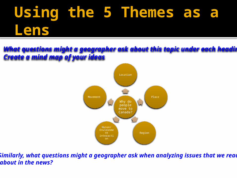
Using the 5 Themes as a Lens
Geographers like to ask a lot of questions to understand issues and processes taking place.
We can use the Five Themes as a model for understanding why things happen:
e.g. why do people move to Canada from overseas?
Using the 5 Themes as a Lens
Why do people
move to Canada?
Location
Place
Region
Hunan/ Environme
nt interaction
Movement
What questions might a geographer ask about this topic under each heading?Create a mind map of your ideas
Similarly, what questions might a geographer ask when analyzing issues that we read about in the news?
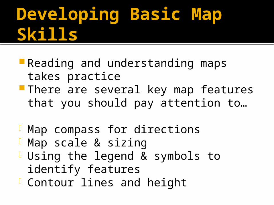
Developing Basic Map Skills Reading and understanding maps takes
practice There are several key map features
that you should pay attention to…
- Map compass for directions - Map scale & sizing - Using the legend & symbols to identify
features- Contour lines and height
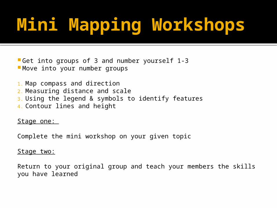
Mini Mapping Workshops Get into groups of 3 and number yourself 1-3 Move into your number groups
1. Map compass and direction2. Measuring distance and scale 3. Using the legend & symbols to identify features4. Contour lines and height
Stage one:
Complete the mini workshop on your given topic
Stage two:
Return to your original group and teach your members the skills you have learned