Embed Size (px)
Citation preview
1
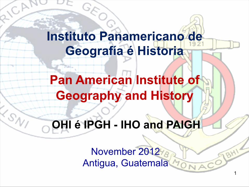
Instituto Panamericano de Geografía é Historia
Pan American Institute of Geography and History
OHI é IPGH - IHO and PAIGH
November 2012Antigua, Guatemala

This Briefing – Este Informe• Introduction to Pan American Institute
of Geography and History• IHO/PAIGH Complementary Activities• Proposal to Combine IHO and PAIGH
Resources for Hydrography and Nautical Charting Project in the Gulf of Fonseca.
_ _ _ • Introducción al Instituto Panamericano
de Geografía e Historia• Actividades Complementarias de la
OHI/IPGH• Propuesta para combinar los recursos
de la OHI y la IPGH para el proyecto de Hidrografía y Cartas Náuticas en el Golfo de Fonseca
2

Background - Antecedentes
• PAIGH was created February 7, 1928• Headquarters are located in Mexico• In 1949, the Institute signed an agreement
with the Council of the OAS and became its first Specialized Organization
4
• IPGH fue creado el 7 de febrero de 1928• La cede principal está en México• En 1949 el instituto firmó un con el consejo
de la OEA y se convirtió en su primera organización especializada.

PAIGH Mission and Objectives
• To encourage, coordinate, and publicize cartographical, geographical, geophysical and historical studies to the Americas.
• To promote and carry out studies, work and training in these fields of activity.
• To p r o m o t e c o o p e r a t i o n a m o n g organizations interested in these fields of activity in the Americas, and with related international organizations.
• Fomentar, coordinar y difundir los studios cartográficos, geofísicos, geográficos e históricos y los relativos a las ciencias afines de interés para América.
• Promover y realizar estudios, trabajos y capacitaciones en esas disciplinas.
• Promover el desarrollo institucional de las organizaciones v inculadas con la producción de la información cartográfica, geográfica y geofísica continental.
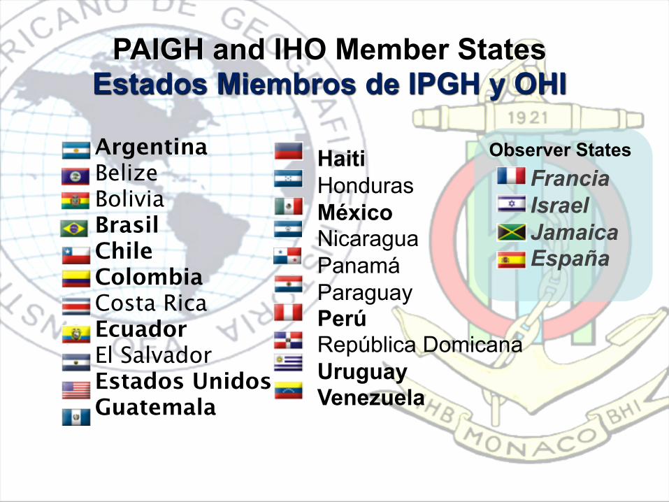
PAIGH and IHO Member StatesEstados Miembros de IPGH y OHI
Argentina Belize Bolivia BrasilChile Colombia Costa Rica EcuadorEl SalvadorEstados UnidosGuatemala
HaitiHonduras México NicaraguaPanamá Paraguay PerúRepública DomicanaUruguay Venezuela
Observer States FranciaIsrael Jamaica España
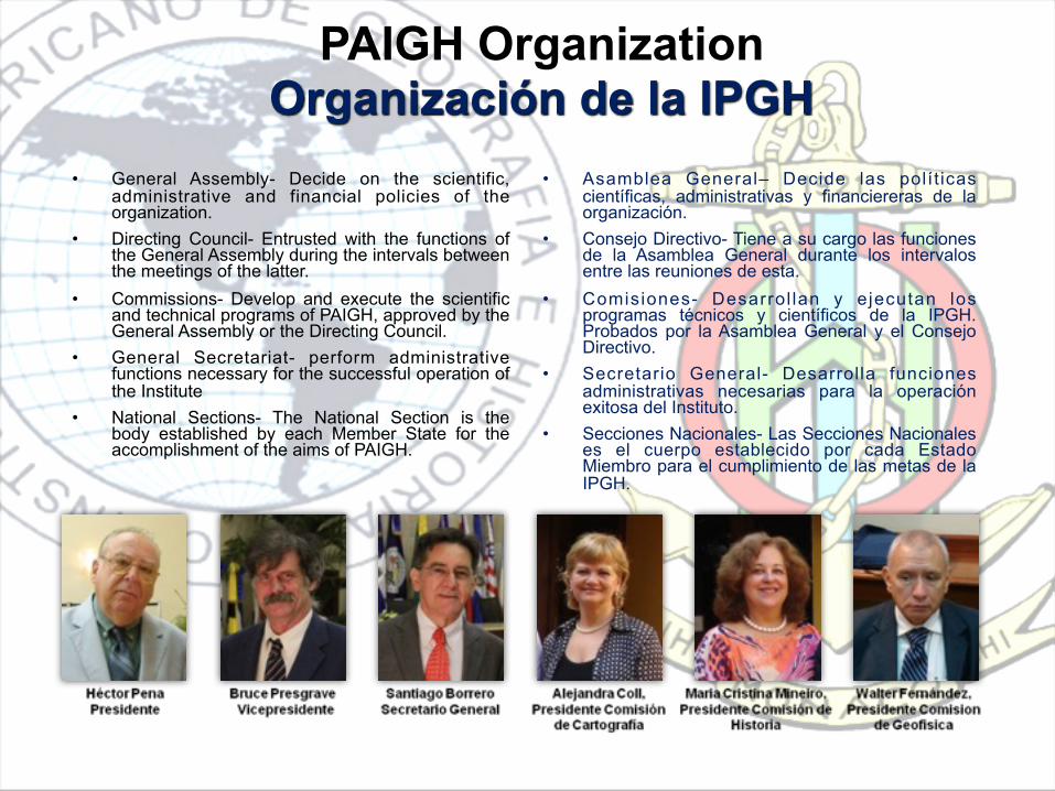
PAIGH OrganizationOrganización de la IPGH
• General Assembly- Decide on the scientific, administrative and financial policies of the organization.
• Directing Council- Entrusted with the functions of the General Assembly during the intervals between the meetings of the latter.
• Commissions- Develop and execute the scientific and technical programs of PAIGH, approved by the General Assembly or the Directing Council.
• General Secretariat- perform administrative functions necessary for the successful operation of the Institute
• National Sections- The National Section is the body established by each Member State for the accomplishment of the aims of PAIGH.
• Asamblea General– Decide las polít icas científicas, administrativas y financiereras de la organización.
• Consejo Directivo- Tiene a su cargo las funciones de la Asamblea General durante los intervalos entre las reuniones de esta.
• Comisiones- Desarrol lan y ejecutan los programas técnicos y científicos de la IPGH. Probados por la Asamblea General y el Consejo Directivo.
• Secretario General- Desarrolla funciones administrativas necesarias para la operación exitosa del Instituto.
• Secciones Nacionales- Las Secciones Nacionales es el cuerpo establecido por cada Estado Miembro para el cumplimiento de las metas de la IPGH.

Commissions - Comisiones
Among the other
cartographic
disciplines Hydrography
and institutional Strengthening for the development of Geospatial Data Infrastructures at the national level are part of this commission. The
Commission on
Geography is developing projects that analyze climatic change and its multiple effects, as well as themes related to the prevention of, attention to, and mitigation of, the effects caused by natural disasters.
The Commission on History develops
projects with a global perspective concerning historical cultural, anthropological, economic and social processes of Latin America and its countries.
The Commission on Geophysics supports projects directed to the study and monitoring of geophysical processes and the impact caused by natural threats and disasters.
• Cartografía: Entre las otras disciplinas cartograficas, la Hidrografía y el fortalecimiento Institucional
• Geografía: La comisión en Geografía esta desarrollando proyectos que analizan los cambios climaticos y sus múltiples efectos, asi como temas relacionados con la prevención, atención y mitigación de los efectos causados por los desastres naturales.
• Historia: La comisión en Historia desarrolla proyectos con una perspectiva global que concierne a los procesos historicos, culturales, antropológicos, económicos y sociales de Latinoamerica y sus países.
• Geofísica: La comisión en geofísica apoya proyectos dirigidos a los estudios y monitoreos de procesos geofísicos y los impactos causados por amenazas y desastres naturales.
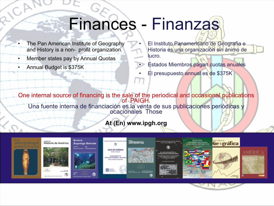
Finances - Finanzas• The Pan American Institute of Geography
and History is a non- profit organization.• Member states pay by Annual Quotas• Annual Budget is $375K
• El Instituto Panamericano de Geografía e Historia es una organización sin ánimo de lucro.
• Estados Miembros pagan cuotas anuales• El presupuesto annual es de $375K
One internal source of financing is the sale of the periodical and occasional publications of PAIGH.
Una fuente interna de financiación es la venta de sus publicaciones periódicas y ocacionales Those
At (En) www.ipgh.org
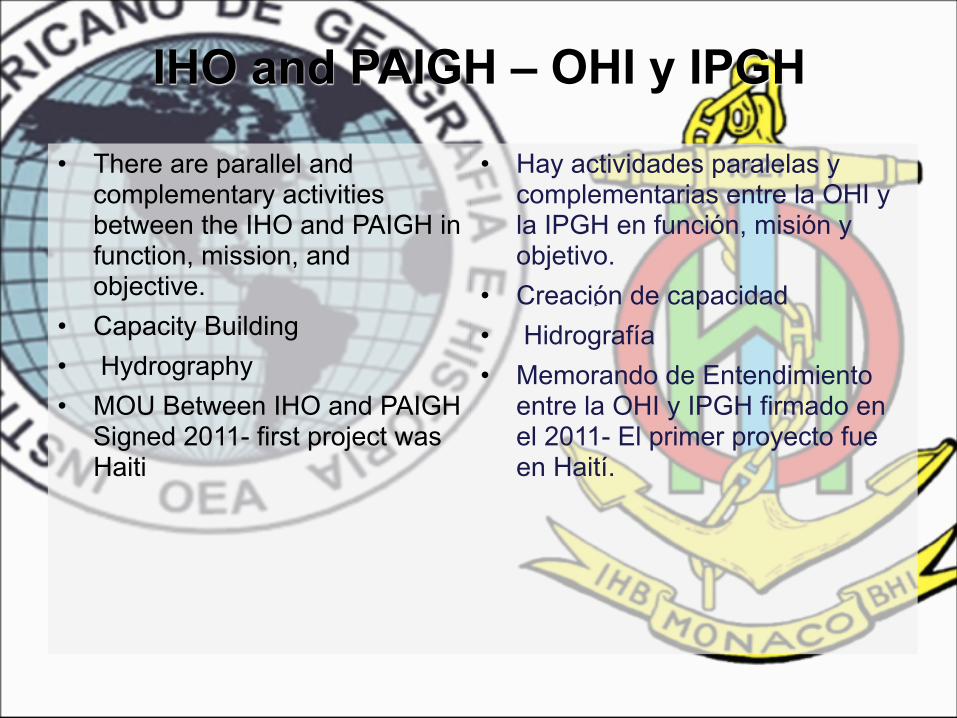
IHO and PAIGH – OHI y IPGH
• There are parallel and complementary activities between the IHO and PAIGH in function, mission, and objective.
• Capacity Building• Hydrography• MOU Between IHO and PAIGH
Signed 2011- first project was Haiti
• Hay actividades paralelas y complementarias entre la OHI y la IPGH en función, misión y objetivo.
• Creaci ٕón de capacidad• Hidrografía• Memorando de Entendimiento
entre la OHI y IPGH firmado en el 2011- El primer proyecto fue en Haití.

Institutional Strengthening and Technical Cooperation
Fortalecemiento Institucional y Cooperación Técnica.
• The objective is to emphasize and promote the transfer and interchange of technologies, applications, development, and capacity building in the geoscience disciplines that support the development of national spatial data infrastructures including marine spatial data infrastructure .
• El objetivo es enfatizar y promover la transferencia y el intercambio de tecnologías, aplicaciones, desarrollos y creación de capacidad en las disciplinas de geociencia, que apoyan el desarrollo de infraestructuras de datos espaciales nacionales, incluyendo infraestructura de datos espaciales marítimos.
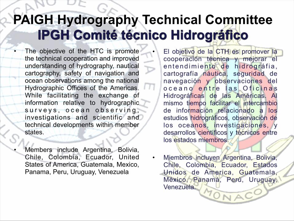
• The objective of the HTC is promote the technical cooperation and improved understanding of hydrography, nautical cartography, safety of navigation and ocean observations among the national Hydrographic Offices of the Americas. While facilitating the exchange of information relative to hydrographic s u r v e y s , o c e a n o b s e r v i n g , investigations and scientific and technical developments within member states.
• Members include Argentina, Bolivia, Chile, Colombia, Ecuador, United States of America, Guatemala, Mexico, Panama, Peru, Uruguay, Venezuela
PAIGH Hydrography Technical CommitteeIPGH Comité técnico Hidrográfico
• El objetivo de la CTH es promover la cooperación técnica y mejorar el en tend im ien to de h i d rog rá f i a , cartografía náutica, seguridad de navegación y observaciones del o c e a n o e n t r e l a s O f i c i n a s Hidrográficas de las Américas. Al mismo tiempo facilitar el intercambio de información relacionado a los estudios hidrográficos, observación de los oceanos, investigaciones, y desarrollos científicos y técnicos entre los estados miembros.
• Miembros incluyen Argentina, Bolivia, Chile, Colombia, Ecuador, Estados Unidos de America, Guatemala, México, Panamá, Perú, Uruguay, Venezuela.

17
PAIGH has Partnered withGovernments, International Organizations
and Private Industry
Capacity Building
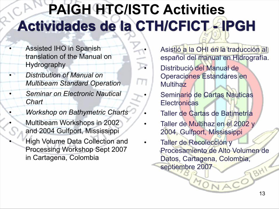
PAIGH HTC/ISTC ActivitiesActividades de la CTH/CFICT - IPGH
• Assisted IHO in Spanish translation of the Manual on Hydrography
• Distribution of Manual on Multibeam Standard Operation
• Seminar on Electronic Nautical Chart
• Workshop on Bathymetric Charts• Multibeam Workshops in 2002
and 2004 Gulfport, Mississippi• High Volume Data Collection and
Processing Workshop Sept 2007 in Cartagena, Colombia
13
• Asistió a la OHI en la traducción al español del manual en Hidrografía.
• Distribució del Manual de Operaciones Estandares en Multihaz
• Seminario de Cartas Nauticas Electronicas
• Taller de Cartas de Batimetría• Taller de Multihaz en el 2002 y
2004, Gulfport, Mississippi• Taller de Recolección y
Procesamiento de Alto Volumen de Datos, Cartagena, Colombia, septiembre 2007
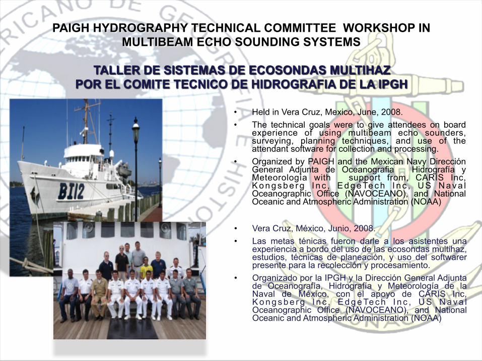
PAIGH HYDROGRAPHY TECHNICAL COMMITTEE WORKSHOP IN MULTIBEAM ECHO SOUNDING SYSTEMS
TALLER DE SISTEMAS DE ECOSONDAS MULTIHAZPOR EL COMITE TECNICO DE HIDROGRAFIA DE LA IPGH
• Held in Vera Cruz, Mexico, June, 2008.• The technical goals were to give attendees on board
experience of using multibeam echo sounders, surveying, planning techniques, and use of the attendant software for collection and processing.
• Organized by PAIGH and the Mexican Navy Dirección General Adjunta de Oceanografia Hidrografía y Meteorología with support from, CARIS Inc, K o n g s b e r g I n c , E d g e Te c h I n c , U S N a v a l Oceanographic Office (NAVOCEANO), and National Oceanic and Atmospheric Administration (NOAA)
• Vera Cruz, México, Junio, 2008.• Las metas ténicas fueron darle a los asistentes una
experiencia a bordo del uso de las ecosondas multihaz, estudios, técnicas de planeación, y uso del softwarer presente para la recolección y procesamiento.
• Organizado por la IPGH y la Dirección General Adjunta de Oceanografía, Hidrografía y Meteorología de la Naval de México, con el apoyo de CARIS Inc, K o n g s b e r g I n c , E d g e Te c h I n c , U S N a v a l Oceanographic Office (NAVOCEANO), and National Oceanic and Atmospheric Administration (NOAA)
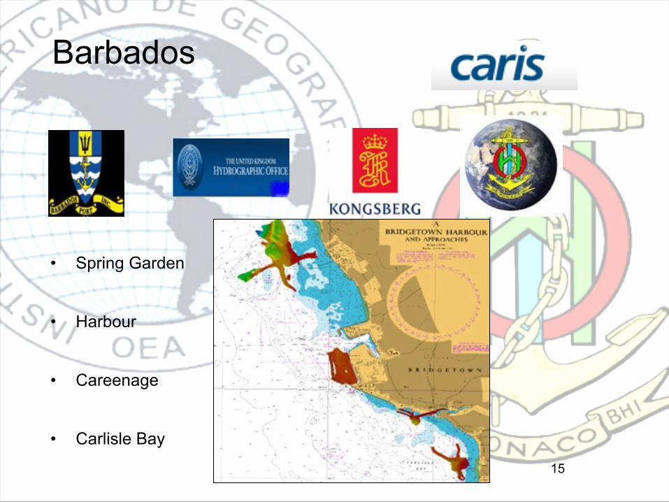
Barbados
15
• Spring Garden
• Harbour
• Careenage
• Carlisle Bay
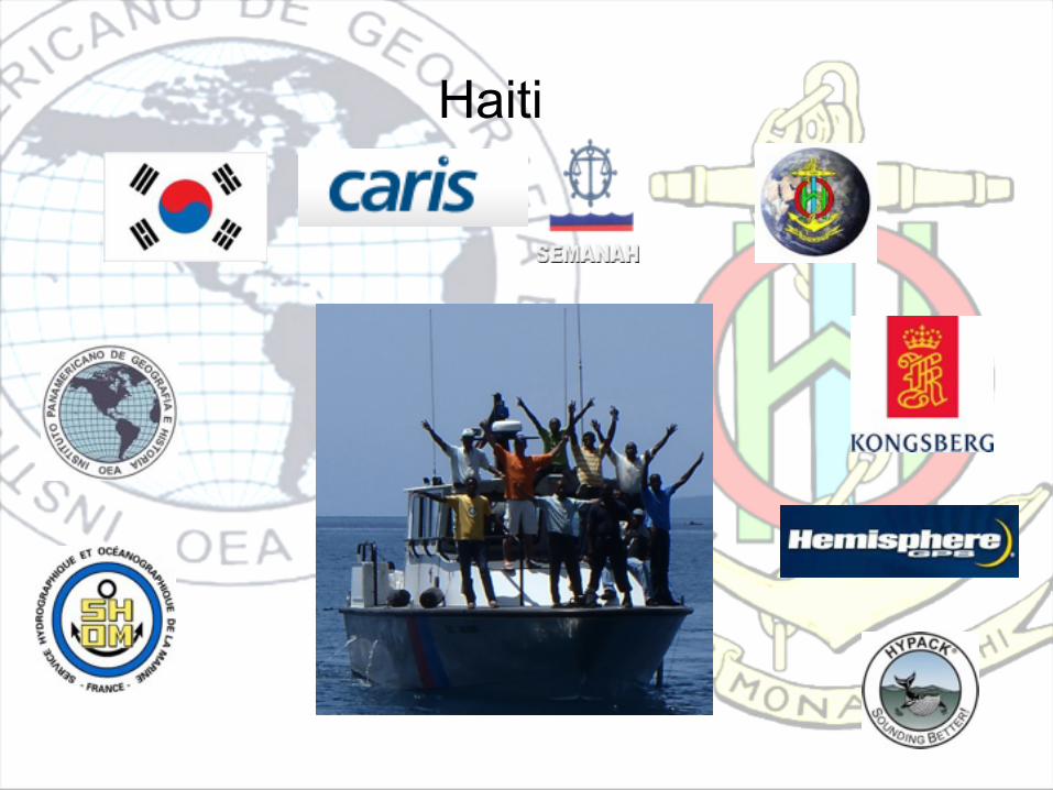
Haiti
16

Gulf of Fonseca Situation• 2007/2008 Presidents of El Salvador, Honduras, and
Nicaragua declare the Gulf of Fonseca Peace and Security Zone
• 2011 17 Municipalities of the 3 countries met and declared the Gulf of Fonseca a Zone of Peace, Progress and Development
• Nov 2012 The Presidents of the 3 countries to visit the Gulf and reconfirm the needs to develop cooperation for development in the Gulf
• Nov 2012 MACHC, PAIGH, IHO, COCATRAM, El Salvador, Honduras, and Nicaragua met to take the first steps to plan for cooperative surveys and nautical chart production. Guatemala, NGA, UKHO, and Private industry also participated.
17

• Agreement to continue to pursue the project and higher level authority to be engaged
• Recognize that the future development of the Gulf of Fonseca can benefit from the work of this project which include hydrography for the safety of navigation, physical oceanography for the protection of the marine environment, and coastal zone management.
• Representatives of the MS to begin ministerial level contact internally
• Recognize the importance of keeping this a Central American project to the greatest extent possible
• Direct project support offered by Guatemala, NGA and UKHO as well as from Private Industry
• Continuing coordination and project planning to be done by email and body to reconvene at next MACHC.
• Continue engagement with IADB in Honduras and Washington DC
18
GoF Meeting Results

Summary Message andProposal Recommendation
• The IHO and PAIGH convened the Gulf of Fonseca Hydrographic Survey and Nautical Charting Project meeting during the IHO Meso American Caribbean Hydrographic Commission Meeting in Antigua. Guatemala, 20 November 2012.
Attending that meeting were the GoF Member States: Honduras, Empresa Portuaria Nacional; El Salvador Instituto Geografico Nacional Centro Nacional de Registros; and Nicaragua, Instituto Nicaraguense de Estudios Territoriales. The meeting was also attended by United Kingdom Hydrographic Office, United States National Geospatial Intelligence Agency, COCATRAM, Guatemala, International Hydrographic Organization, Pan American Institute of Geography and History, representatives of Private IndustryThe results of the meeting were:" 1. Decision to continue the project discussions with authorities from the three Member states." 2. Recognize that the future development of the Gulf of Fonseca can benefit from the works proposed by this project; including hydrography for the safety of navigation, physical oceanography for the protection of the marine environment, and coastal zone management." 3. Decision to keep this project Regional within Central America as much as possible." 4. Recognize the offerings of governmental organizations, private industry, and non governmental organizations. There were significant offers to assist in this project from the attendees.
We believe that this project will benefit the three GoF Member States and the type of cooperation we are establishing will set a precedent for future projects.
19