Embed Size (px)
Citation preview

Information system for cultural history and archival data in Tallinn
Eva Loolaid-Raudpuu
EOMAP Geodata Ltd
17th Conference of the LIBER Groupe des Cartothécaires16.06.2010, Tallinn
EOMAP GeodataEOMAP Geodata
• Gathering, storing and sales of spatial data
• Cartography- maps in all scales and sizes
• Creating Geographic Information Systems
• Web-solutions and services based on spatial data
• Creating and developing navigation maps, distribution of navigation devices
• Stereo-photogrammetry

http://www.tallinnlv.ee/kaja
An information system that combines– cultural history– archival data– maps
General functionalityGeneral functionality
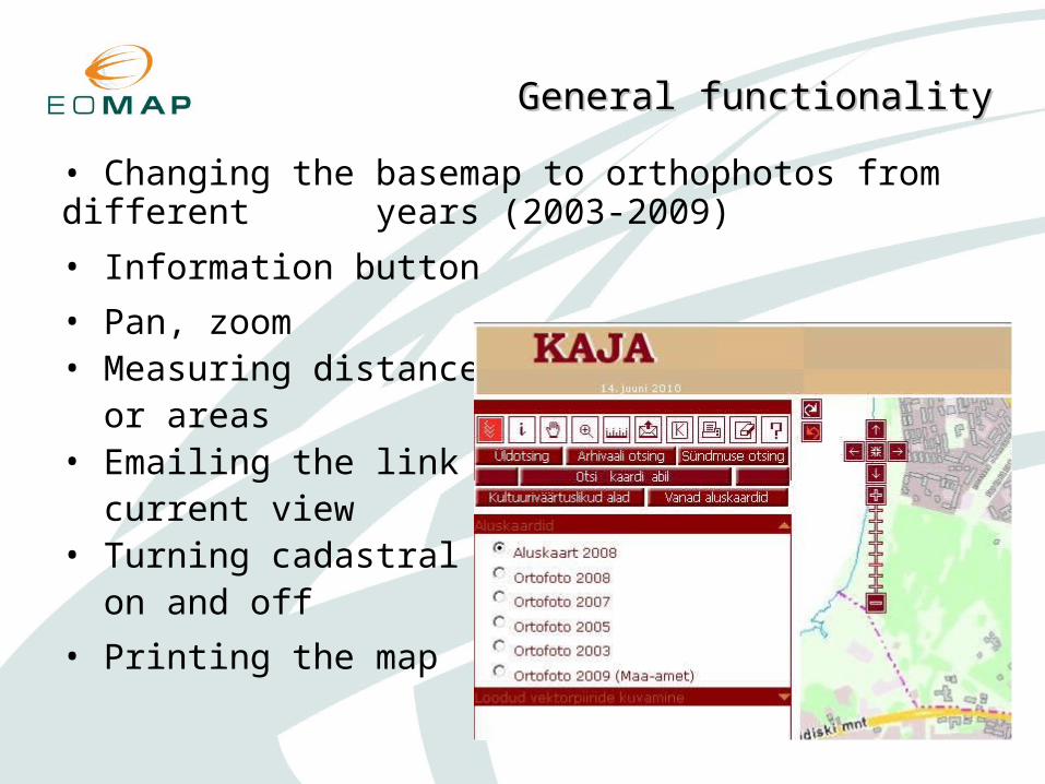
• Changing the basemap to orthophotos from different years (2003-2009)
• Information button
• Pan, zoom• Measuring distances or areas• Emailing the link with current view• Turning cadastral lines on and off
• Printing the map

Basemap 2008Basemap 2008
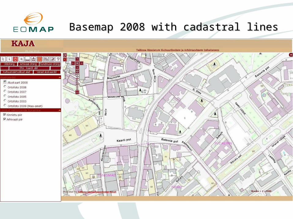
Basemap 2008 with cadastral linesBasemap 2008 with cadastral lines
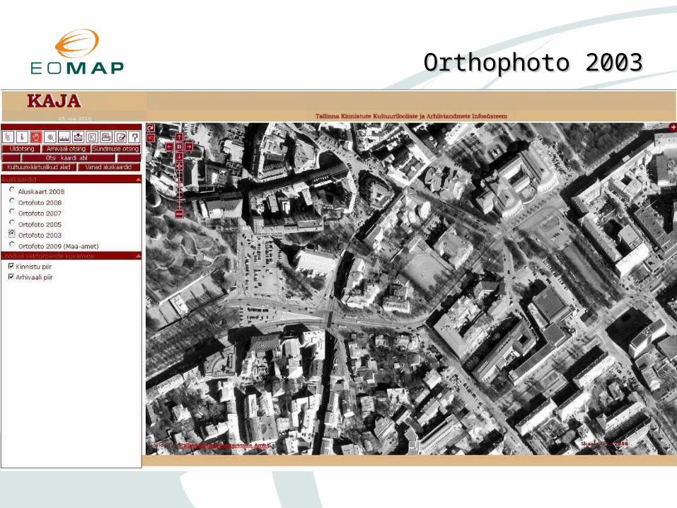
Orthophoto 2003Orthophoto 2003
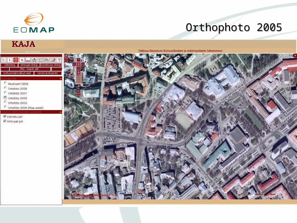
Orthophoto 2005Orthophoto 2005

Orthophoto 2007Orthophoto 2007

Orthophoto 2009Orthophoto 2009

• General search– parcels– buildings– archival documents
• Search criterias– street name (old or new)– house name, house number– district name– cadastral number– architectural style of the building– building's designer– the year of construction

Sample query for Rävala Avenue 12Sample query for Rävala Avenue 12

Sample query for Rävala Avenue 12Sample query for Rävala Avenue 12

Sample query for Rävala Avenue 12Sample query for Rävala Avenue 12
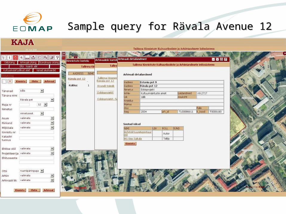
Sample query for Rävala Avenue 12Sample query for Rävala Avenue 12
• Search archivals– archive name– the type of the archival– the author of the archival– dates
• Search transactions– involved person's name– involved person's role– type of the transaction– dates

• Making a query on the map using– point– line– area
• Result– parcel– archival– survey– planning

A query using a lineA query using a line

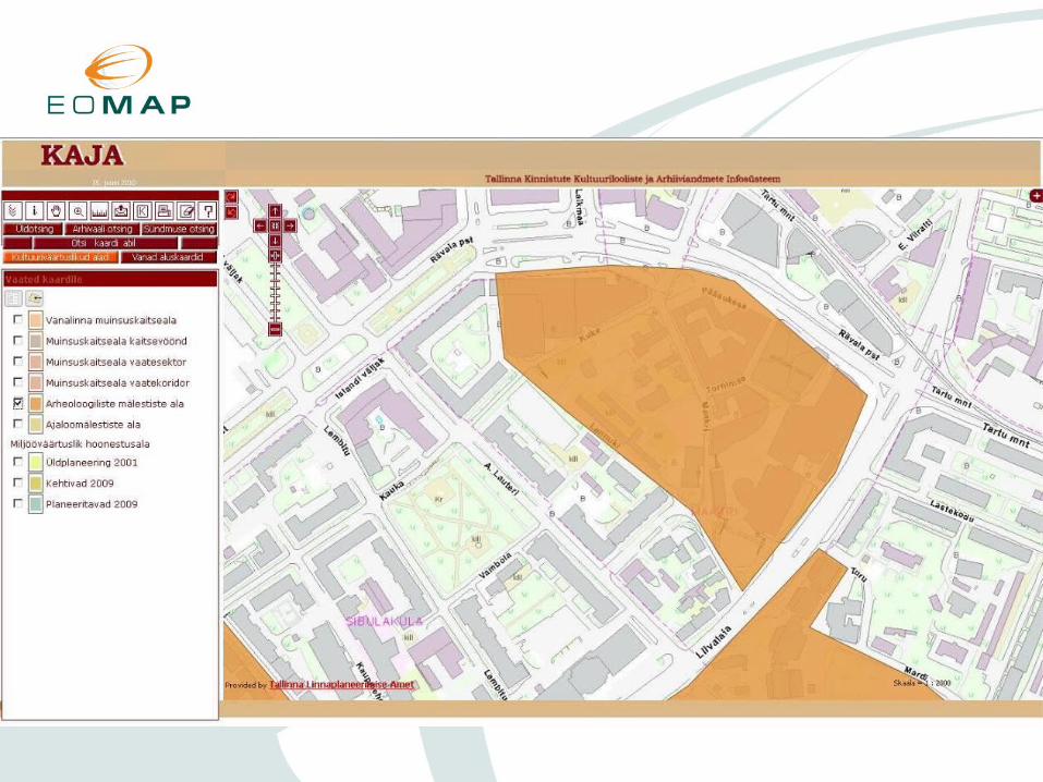
• Cultural heritage sites– Old Town historic area
– Historic areas protection zones
– Historic areas view sectors and corridors
– Archaelogical heritage sites
– Historical heritage sites
– Areas with valuable milieu

Cultural heritage sitesCultural heritage sites


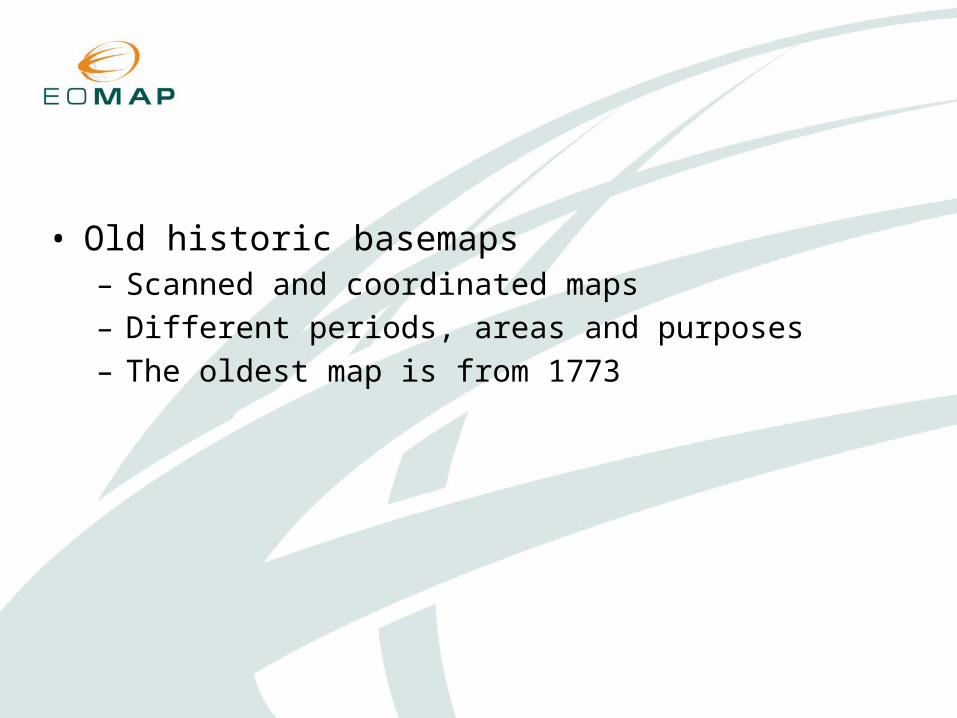
• Old historic basemaps– Scanned and coordinated maps – Different periods, areas and purposes– The oldest map is from 1773

City plan of Tallinn 1773City plan of Tallinn 1773

City plan of Tallinn 1773 with current basemapCity plan of Tallinn 1773 with current basemap

Police district map 1914Police district map 1914

Map of Tallinn 1885Map of Tallinn 1885