Embed Size (px)
Citation preview
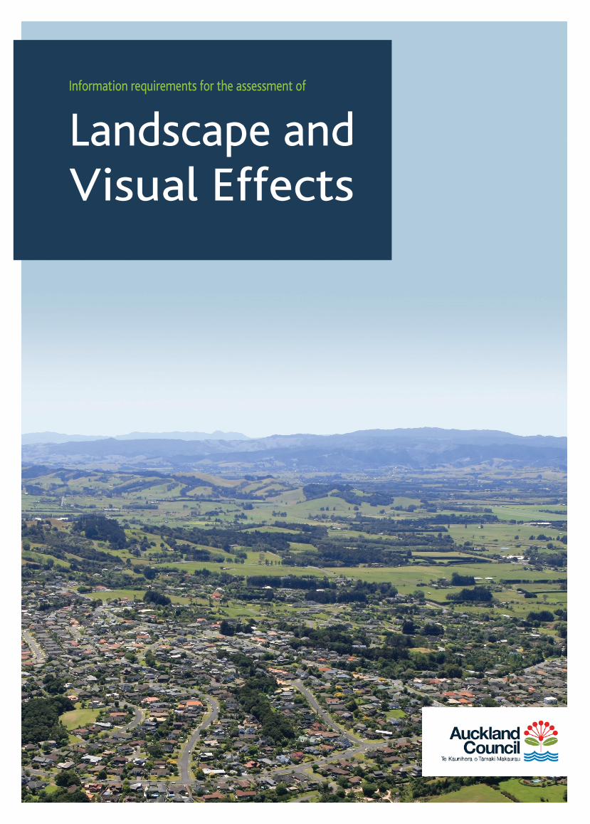
Information requirements for the assessment of
Landscape and Visual Effects

Landscape and Visual Effects Assessment | September 2017 Page 2
Auckland Council is committed to ensuring landscape resources are sustainably managed and developed. To assist in this management an assessment of landscape effects and visual effects may be required in support of applications submitted for resource consent or proposed plan modification. This assessment is a tool used to identify and assess the likely significance of the effects of change resulting from development on the landscape and visual amenity.
• The assessment of landscape effects is concerned with the change to the physical landscape that may alter its value or character.
• The assessment of visual effects is concerned with the effects of change and development on the views available to people and their visual amenity.
Each assessment will require a refined methodology supported by a level of detail that corresponds to the scale and significance of the proposal and effects. Assessments should focus on the character of the landscape and specific issues relevant to the impact of the proposal.
Where there is variance from these guidelines, an explanation as to the reasons, together with a clear methodology and scope, will assist Council’s review. It is recommended that any significant variation to this methodology be discussed with the Council prior to the commencement of detailed studies.
LANDSCAPE AND VISUAL EFFECTS
INTRODUCTION
LANDSCAPE DESCRIPTION
RELEVANT STATUTORY CONTEXT
PROPOSAL DESCRIPTION
IDENTIFICATION OF THE VISUAL CATCHMENT AND VIEWING AUDIENCE
ASSESSMENT OF LANDSCAPE AND VISUAL EFFECTS
PROPOSED DESIGN AND MITIGATION MEASURESREVIEW OF ASSESSMENT OF LANDSCAPE AND VISUAL FACTORS
CONCLUSION AND RECCOMENDATIONS
FRAMEWORK STEPS

Page 3Landscape and Visual Effects Assessment | September 2017
INTRODUCTION LANDSCAPE DESCRIPTION
Briefly describe where the site is (physical address, local area), the purpose of the report (eg. to accompany an application for resource consent to subdivide land) and the name of the applicant.
Provide a written description, supported by graphics, of the existing landscape and context to provide a baseline for the assessment of landscape and visual effects. This should describe the site and local area, highlighting those aspects relevant to the proposal. It should include biophysical (eg. geology, topology, vegetation), perceptual (eg. visibility, coherence, legibility) and associative values (eg. historic, cultural). Existing consented development within the surrounding area that may not have been built should also be documented.
The landscape description should be accompanied by a scaled plan (eg aerial photograph) that identifies the site and study area. Where appropriate, the landscape features and elements mentioned in the description should also be identified (eg watercourses, contours, etc). A range of plans at varying scales may be required to clearly illustrate this information.
Photographs may be provided of the site and local area to assist the landscape description.
1 2
INTRODUCTION
LANDSCAPE DESCRIPTION
RELEVANT STATUTORY CONTEXT
PROPOSAL DESCRIPTION
IDENTIFICATION OF THE VISUAL CATCHMENT AND VIEWING AUDIENCE
ASSESSMENT OF LANDSCAPE AND VISUAL EFFECTS
PROPOSED DESIGN AND MITIGATION MEASURESREVIEW OF ASSESSMENT OF LANDSCAPE AND VISUAL FACTORS
CONCLUSION AND RECCOMENDATIONS
FRAMEWORK STEPS

Landscape and Visual Effects Assessment | September 2017 Page 4
RELEVANT STATUTORY CONTEXT
Provide a description of the relevant statutory and non-statutory provisions relating to landscape matters as set out in the Resource Management Act 1991 and any related policy documents. The description should identify the site’s zoning, the activity status of the application and the landscape matters requiring consideration (eg relevant objectives, policies, rules and assessment criteria).
This should also include reference to any relevant overarching policy documents (eg Auckland Unitary Plan, NZ Coastal Policy Statement) or legislation (eg Hauraki Gulf Marine Park Act, Reserves Act). Confirmation as to whether the site coincides with specific landscape overlays or precincts such as a Coastal Natural Character Area, Outstanding Natural Landscape, Outstanding Natural Feature, Volcanic Viewshaft, area of Ridgeline Protection and/ or Special Character Area should also be documented.
The permitted baseline under the relevant statutory context should be defined to assist in focusing the assessment on the relevant landscape matters.
3 4 PROPOSAL DESCRIPTION
Describe the proposal supported by appropriate drawings, focusing on those aspects that are relevant to landscape, such as the basic components (eg, siting and layout of the proposal, earthworks, vegetation alteration, scale, external cladding, colours) on which the assessment of landscape and visual effects assessment will be based.
The proposal description may include a statement explaining design principles and concepts underpinning the proposal and the process through which it has evolved. This could also explain how the design of the development takes the landscape context of the development into account in relation to its proposed use.
Identify, but do not evaluate, aspects of the proposal that have the potential for direct, indirect and cumulative impacts, either of a temporary or permanent nature. These may include structures, earthworks, vegetation removal, working methodology, etc.
Typically this will also include a clear description (as opposed to an evaluation) of any mitigation measures that have been integrated into the proposal, such as planting, building design controls etc. It may also include discussion of:
• how the design has avoided or minimised potential impact on landscape values;
• opportunities taken to create or enhance landscape values;
• measures introduced to remedy or mitigate adverse effects;
• consideration of alternative design options; and• photographs and visual simulations presented in
accordance with the guidance provided on the last page of these guidelines.
In some circumstances it may be more appropriate that the mitigation measures be described within Step 7 permitting a clear understanding of the effects, the proposed mitigation and their effectiveness.

Page 5Landscape and Visual Effects Assessment | September 2017
5 6PROPOSAL DESCRIPTIONIDENTIFICATION OF THE VISUAL CAPTION AND VIEWING AUDIENCE
It is important to recognise that the assessment of landscape and visual effects are separate, although linked, procedures. The assessment of landscape effects is concerned with the change to the physical landscape that may change its value or character. The assessment of visual effects is concerned with the effects of change and development on the views available to people and their visual amenity.
Identify the visual catchment (graphically defined such as providing a Zone of Theoretical Visibility -ZTV) and viewing audiences including their location, numbers and their sensitivity to landscape issues. Key representative viewpoints should also be nominated and these may well form the basis of photomontages or visual simulations to assist with the Step 6: Assessment of Landscape and Visual Effects.
ASSESSMENT OF LANDSCAPE AND VISUAL EFFECTS
• Describe the nature and magnitude of landscape and visual effects including adverse, positive, cumulative and temporary effects. The assessment shall reference the biophysical, perceptual and associative values identified for the site and local area in the Landscape Description.
• The proposal should be evaluated also against the various relevant statutory and non statutory provisions identified in Step 3.
• Define the limits of acceptable change and provide a professional opinion on whether the effects will be ‘acceptable’ or ‘not acceptable’ in landscape terms.
Effects are identified by establishing and describing the changes resulting from the different components of the proposal on individual landscape or visual receptors (identified as part of the baseline – refer to Step 2: Landscape Description).

Landscape and Visual Effects Assessment | September 2017 Page 6
PROPOSED DESIGN AND MITIGATION MEASURES
Based on the identified landscape effects and visual effects, outline what aspects of the proposal avoid, remedy or mitigate adverse effects. This may also describe alternative designs that were considered to assist in explaining the rationale of the proposed development.
7
The assessment should be provided for both unmitigated and mitigated outcomes using a seven point rating scale. This should enable a clear understanding of the benefits of any proposed mitigation measures. The rating scale terminology should be clearly defined and it may be helpful to utilise the table provided below. Where the site is located within the Coastal Environment, this may necessitate an assessment of Natural Character Values.
The proposal should be evaluated against the various relevant statutory and non statutory provisions identified in Step 3.
EXAMPLE OF A DEFINED SCALE OF EFFECTS (landscape effects / visual effects)
6 ASSESSMENT OF LANDSCAPE AND VISUAL EFFECTS cont.
EXTREMETotal loss of the existing character, distinctive features or quality of the landscape resulting in a complete change to the landscape or outlook
VERY HIGHMajor change to the existing character, distinctive features or quality of the landscape or a significant reduction in the perceived amenity of the outlook
HIGHNoticeable change to the existing character or distinctive features of the landscape or reduction in the perceived amenity or the addition of new but uncharacteristic features and elements
MODERATEPartial change to the existing character or distinctive features of the landscape and a small reduction in the perceived amenity
LOW A slight loss to the existing character, features or landscape quality
VERY LOWThe proposed development is barely discernible with little change to the existing character, features or landscape quality
NEGLIGIBLEThe proposed development is barely discernible or there are no changes to the existing character, features or landscape quality

Page 7Landscape and Visual Effects Assessment | September 2017
REVIEW OF ASSESSMENT OF LANDSCAPE AND VISUAL EFFECTS
Reappraise the proposed development taking into account the proposed mitigation measures taken in Step 7. Define the effects, the magnitude of effects and the limits of acceptable change providing a professional opinion on whether the effects will be ‘acceptable’ or ‘not acceptable’ in landscape terms.
Provide a summary of the assessment and make recommendations with respect to mitigation and/or consent conditions where appropriate.
8 CONCLUSION AND RECOMMENDATIONS
9

Landscape and Visual Effects Assessment | September 2017 Page 8
Photographs should be provided from key and representative viewpoints to assist an evaluation of the visual effects. The location of these viewpoints and direction of the photograph should be plotted on a scaled map or aerial photograph with GPS coordinates recorded if possible. The focal length of the camera lens, time of day and date of the photograph should be specified.
For complex and/or sensitive proposals it may be of assistance to prepare photomontages or visual simulations from key and representative viewpoints to assist an understanding of visual effects. It is usually beneficial to agree representative viewpoint photograph and/or photomontage positions with Council prior to undertaking the visual effects component of an assessment. The location and direction of the photomontages or visual simulations should be plotted on a scaled map or aerial photograph. These should be supported by a detailed descriptive analysis. A Photomontage Methodology Statement should be provided that clearly states how the graphic material was prepared and any assumptions that may have been made.
For both photographs and visual simulations it is recommended that a lens equivalent to a 50mm focal length lens on a full frame 35mm camera be used providing a field of view that is 40° horizontal and a 24° vertical. These may be supported by panoramas to provide additional contextual information that ideally should be 124° horizontal and 55° vertical. All photographs should be presented at an appropriate size on the page that allows for clear interpretation of the image. An optimal viewing distance to the page should also be stated which generally should be between 350 and 500mm.
PHOTOGRAPHS AND VISUAL SIMULATIONS
OTHER RECOMMENDATIONS
Auckland Council strongly encourages applicants to engage a professional registered with the New Zealand Institute of Landscape Architects to prepare Assessments of Landscape and Visual Effects – refer www.nzila.co.nz for contact information.
Applicants are encouraged to discuss particular requirements pertinent to their application with Auckland Council prior to commencing the preparation of an assessment of landscape and visual effects.
Pre-application advice can be arranged by calling us on 09 301 0101, filling out our online contact form, or visiting one of our customer service centres.