Embed Size (px)
Citation preview
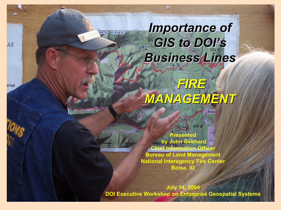
Presentedby John Gebhard
Chief Information OfficerBureau of Land Management
National Interagency Fire CenterBoise, ID
July 14, 2004DOI Executive Workshop on Enterprise Geospatial Systems
Importance of Importance of GIS to GIS to DOI’sDOI’s
Business LinesBusiness Lines
FIRE FIRE MANAGEMENTMANAGEMENT
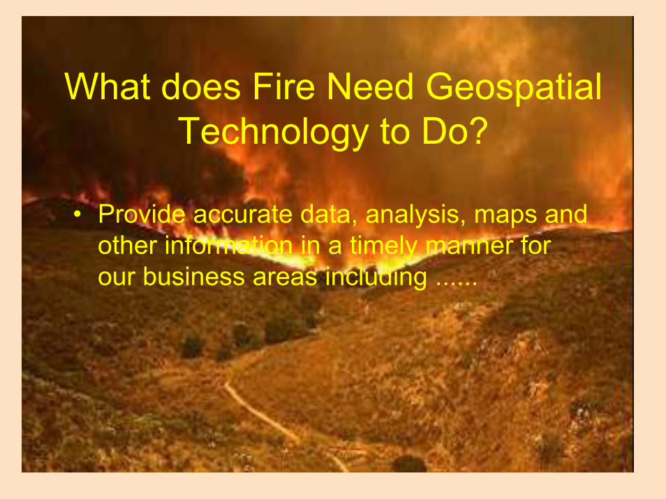
• Provide accurate data, analysis, maps and other information in a timely manner for our business areas including ......
What does Fire Need Geospatial Technology to Do?
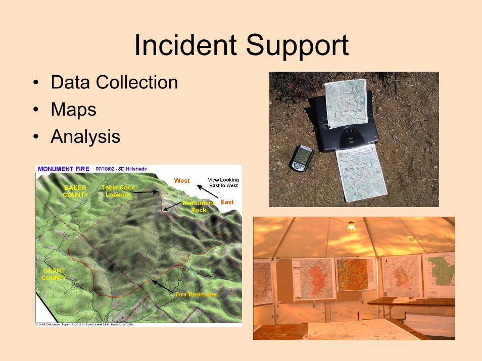
Incident Support• Data Collection• Maps• Analysis

Fire Planning• Wildfire Risk Assessment• Pre-Suppression Planning• Predictive Services Analysis• Year-End Fire Reporting

Fuels Management• Fire Regime Condition Class
Analysis• Fuels project locations and
implementation• Wildland Urban Interface• Communities at Risk Analysis

Burned Area Emergency Response
• Pre and Post Fire Imagery• Analysis of slope and soils• Areas of Critical Concern• Treatment Locations

Aviation & Communication• Aerial Mapping• Flight Management• Radio Communication• Flight Following
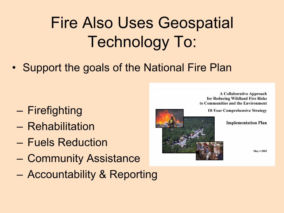
Fire Also Uses Geospatial Technology To:
• Support the goals of the National Fire Plan
– Firefighting– Rehabilitation– Fuels Reduction– Community Assistance– Accountability & Reporting
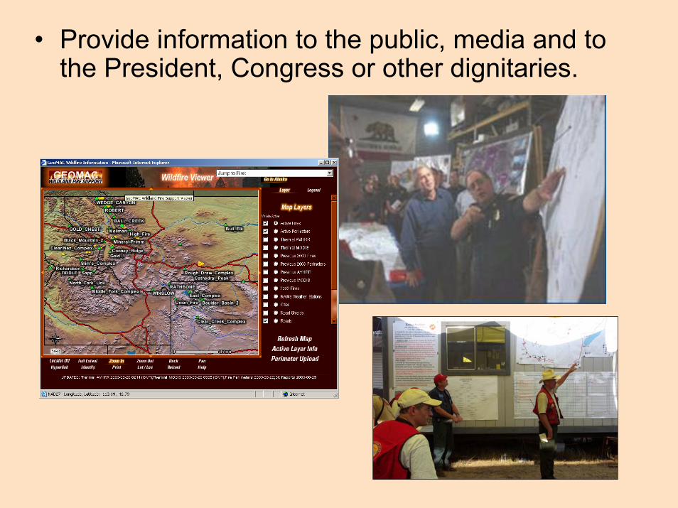
• Provide information to the public, media and to the President, Congress or other dignitaries.
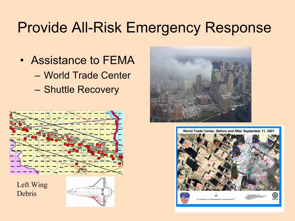
Provide All-Risk Emergency Response
• Assistance to FEMA– World Trade Center– Shuttle Recovery
Left Wing Debris
Interagency CoordinationFire Management business areas and
geospatial technology need to integrate:• Across the 5 federal fire management
agencies (BLM, NPS, FWS, BIA, USFS)• With other federal agencies (OAS, NWS,
FEMA)• With state agencies and local departments.

What are the barriers to the effective use of GIS in fire:
• Incomplete Data Sets – Needed data such as fuels and vegetation has not been completed
• Data Standardization – Data in different formats, databases, agencies
• Data Availability – Data is not easily available for incident support at local levels
• Security Issues – GIS specialists on incidents face limitations
• Access – Need internet access via wireless or satellite
Addressing the Issues• Focusing our efforts with strategic planning• Interagency Coordination is active through the
Geospatial Task Group • Interagency Data Standards are proposed by
the GTG • GTG sponsored GSTOP project• Developing standard data access points e.g.
FTP site, web site• Standard Training curriculum for GIS and GPS
for Incident specialists

Geospatial Technology is an essential tool for the fire business:It helps with ….
– Safety of firefighters and the public– Planning and locating fuels projects– Providing quality information to the Public– Predicting areas of potential risk to wildfires– Reducing the risk to local communities– Improving rehabilitation of burned areas– Producing cost-effective fire data for long-
term fire and land management use.
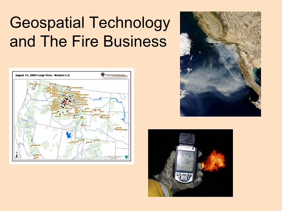
Geospatial Technologyand The Fire Business