Embed Size (px)
Citation preview
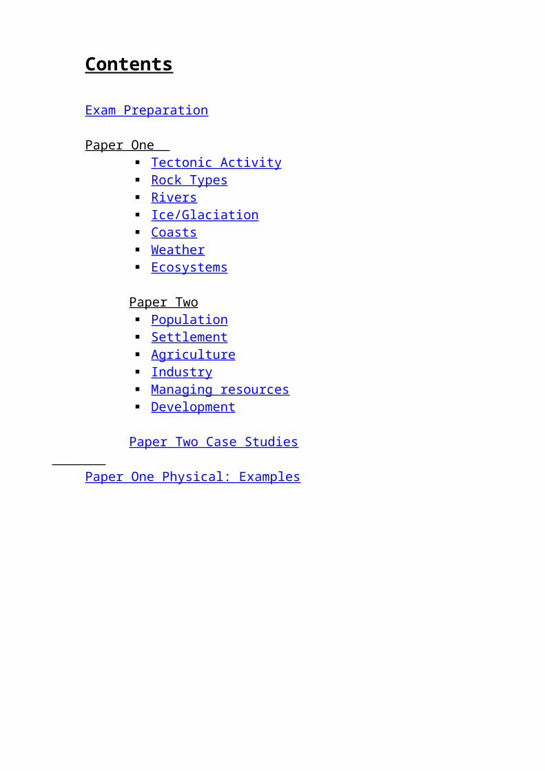
Contents
Exam Preparation
Paper One Tectonic Activity Rock Types Rivers Ice/Glaciation Coasts Weather Ecosystems
Paper Two Population Settlement Agriculture Industry Managing resources Development
Paper Two Case Studies
Paper One Physical: Examples

Examination Preparation On the day …1. Before the examinationOrganise equipment needed – prepare this at least the night before.At least 2 blue or black pens and spare cartridges/ink refills if needed.You must not write answers in red/green ink or pencil.A sharp pencil (HB is best) and pencil sharpener (or an extra pencil).It is amazing how many candidates draw graphs and diagrams with blunt pencils or even pen. Accuracy is essential or you will lose marks.A rulerYou cannot complete graphs accurately without one.A rubberEraser pens and fluids are banned by the examination board. If you make a mistake, rub it out neatly and redo it.Coloured pencilsA few coloured pencils can be useful for completing maps and diagrams.ProtractorRemember you may be asked to draw or complete a pie graph.CalculatorYou are allowed a calculator in the examination room although you may not always need to use it.It is best to put your equipment in a clear plastic bag or clear pencil case.Other pencil cases are not allowed.
2. Check the precise time and date of the examinationCheck the time and placeCheck where you should sit in the examination room.Be on time with your equipment.
3. In the examination room Read the instructions carefully on the front cover, make sure you understand how many
questions you need to answer. Write in your name, centre number and candidate number. Read through the examination paper to select the questions you will answer, make sure you
select those you think you can do the best. It is unwise to choose a question you have not been prepared for – you may think you know something about the topic but there may be a lot you do not know!
Answer the question as well as you can.
4. During the examination Work carefully thinking about what you are doing. Read the questions at least twice. Make sure you understand what is being asked. Don’t waste time on a question you cannot do; come back to it at the end. All of your answers are written on the examination paper. If you run out of lines you can
write underneath if there is space, otherwise ask for extra paper.
5. When you have finishedIf you have time check through the answersMake sure you have included as much detail as you can.Check the accuracy of graphs, measurements, etc.Check your script for spelling, punctuation and grammar errors.

Secure any extra sheets of paper used to your booklet.
How to succeed in Geography examsIn order to achieve your potential in GCSE Geography you need to get the preparation right and be on your mettle on the day.Understand the assessment
How many papers will you take? What will be tested in each one? If there is a choice, which questions should you be answering?
Know the work You cannot learn work that you do not understand. Make sure you understand the work – use books and ask your teacher if you don’t. Revise thoroughly so you know the work before you go into the examination. To achieve the top grades you must know and use the details of case studies/actual
examples.Understand GCSE questionsEvery question usually has at least two parts:1. The command words – what you are being asked to do.2. The geography that is being tested – the question theme that may also specify an area of the world.Understand command wordsNo matter how well you have revised your geography for the examination you will not achieve a good grade without being totally tuned in to what the questions are asking. Below is a list of command words you may come across in your examination:Command word DefinitionIdentify/Name/State/Give A short sentence or word is enough.List Identify a number of featuresComplete Finish a graph/map/cross-section/paragraph/sentenceDescribe Give a written account of the distinctive features – no explanationDefine Precise meaning of term needed – usually 1 or 2 marksShade Use pencil or coloured pencils to highlight part of a graph/diagramDraw Make a sketch – you are often asked to label at the same timeMark Show a particular point clearly by placing an arrow/line/mark, etc.Label Add names or details to a map/diagram/graphAnnotate Add notes of explanation to a diagram/map – more than just a labelExplain/give reasons for/Suggest reasons why/Account for
Say why something occurs – often the formation of physical features
Compare Direct comparison of similarities and differences between two sets of information or places – not two separate accounts
Comment on Give your own views about the informationCalculate Work out a numerical answerWith reference to/illustrate your answer with
Usually needs case study information or examples or reference to a map/diagram
Beware! Some questions include two commands, e.g. Describe and explain/give the advantages and disadvantages/mark and label… make sure you do both parts.

Tectonic ActivityRevision guide for the studentKey words from the specification*basic lava *earthquake *tectonic activity* composite volcano * fold mountain * tension margin* compressional margin * Richter scale * volcano* continental plate * shield volcano Checklist for revision Understand
And knowNeed more revision
Do not understand
I know the names of several large platesMaking up the Earth’s surface.I can recognize a compressional andTensional plate margin.I know what happens at different plateMargins and the features produced.I know the world distribution and formationOf fold mountains.I know the world distribution of volcanoes.I know the reason why they are located atPlate boundaries.I know the appearance and formation of
Shield volcanoes Composite volcanoes
I know the world distribution of earthquakes.I know why they are located near plate boundaries.I know how earthquakes are measured.I know the advantages and disadvantages ofSettlement in areas prone to earthquakes andVolcanoes.I know the reason why tectonic events have Different effects in:
LEDCs and MEDCs Urban and rural areas
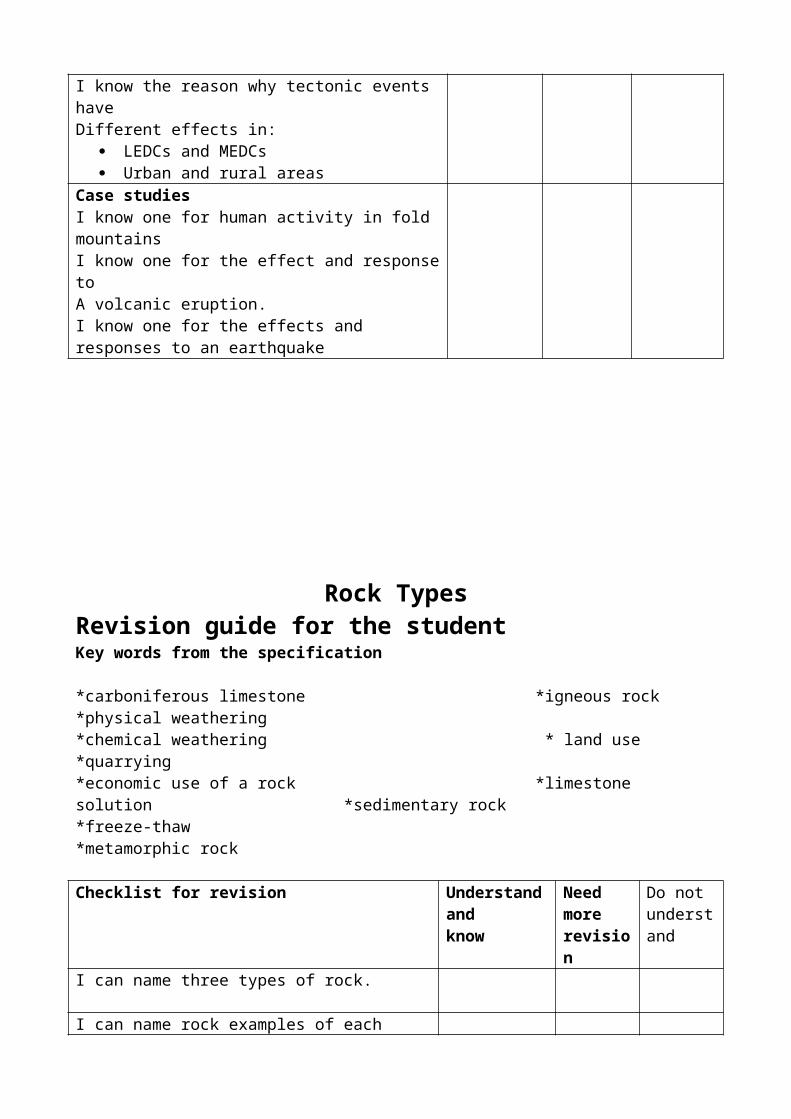
Case studiesI know one for human activity in fold mountainsI know one for the effect and response toA volcanic eruption.I know one for the effects and responses to an earthquake

Rock TypesRevision guide for the studentKey words from the specification
*carboniferous limestone *igneous rock *physical weathering*chemical weathering * land use *quarrying*economic use of a rock *limestone solution *sedimentary rock*freeze-thaw *metamorphic rock
Checklist for revision Understand andknow
Need more revision
Do notunderstand
I can name three types of rock.
I can name rock examples of each type.
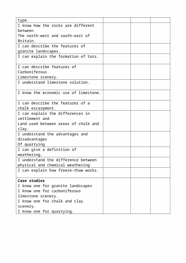
I know how the rocks are different betweenThe north-west and south-east of Britain.I can describe the features of granite landscapes.
I can explain the formation of tors.
I can describe features of CarboniferousLimestone scenery.I understand limestone solution.
I know the economic use of limestone.
I can describe the features of a chalk escarpment.
I can explain the differences in settlement andLand used between areas of chalk and clay.I understand the advantages and disadvantagesOf quarryingI can give a definition of weathering.
I understand the difference between physical and chemical weatheringI can explain how freeze-thaw works.
Case studiesI know one for granite landscapesI know one for carboniferous limestone scenery.I know one for chalk and clay scenery.I know one for quarrying.
RiversChecklist for revision Understand
and knowNeed more revision
Do not understand
I know the features of a river basin(watershed, source, mouth, Confluence, drainage basin).I know the long profile of a river and how the cross-section changes downstream.I know four processes of erosion.
I can describe and explain the formation of waterfalls and gorges.I know four methods of transport by rivers.
I know the features and formations of meanders, ox-bow lakes, flood plains, deltas and levees.I understand how and why a riverdeposits its load.
Case studiesI know two case studies of floods-the causes and effects in an MEDC and LEDC.
I know some short, medium and long term strategiesused to manage floods in LEDCs and MEDC’s.
I know why strategies to manage floods are different In LEDC’s and MEDC’s and issues that affect decisions.
Checklist for skills Tick BoxInterpret graphs
Interpret/draw an isoline graph
Describe river and valley landforms on an OS map
Construct and sketch valley cross-sections from an OS map.
Construct a river long section from an OS map
Draw and label diagrams of features
Draw and annotate sketches of river and valleyfeatures from photographsDescribe drainage patterns and identify watersheds
Rivers (Cont.)Key words from the specification*attrition *flood *meanders*corrasion *flood plain *ox-bow lakes*cross profile *gorge * saltation*delta *hydraulic power *suspension*deposition *levees *traction*estuary * long profile *waterfall
Understanding the termsa) place each of the key words in the glossary into one of the following columns:
Fluvail processes River landforms Valley landforms Others
b) Indicate in column 1 which are the processes of erosion (add an E) and which are transportation (add a T)
c) indicate in column 2 which are erosional landforms (E), or depositional landforms (D), or those which are a mixture of both processes (ED)

Ice/ GlaciationKey words from the specification*abrasion (glacial) *glacial trough *pyramidal peak*arête *hanging valley *ribbon lake*boulder clay * ice sheet *till (glacial)*corrie *moraine * truncated spurs*drumlins * plucking *valley glacier
Checklist for revision Understand and know
Need morerevision
Do notunderstand
I know the difference between a valley glacier andan ice sheetI can name the two processes of glacial erosion.
I understand why valley glaciers have great powersof erosionI understand the formation of a corrie.
I know the similarities and differences betweenan arête and a pyramidal peak.I can describe the main features of a glaciated valley
I understand the formation of a glacial trough.
I can explain why glaciers and ice sheets deposit their load.
I can describe the features of boulder clay deposits.
I can name the four types of glacial moraine.
I know the features and formations of drumlins.
I can explain two different ways for the formation of ribbon lakes.I can describe the main features of farming in uplandareas which have been glaciated.I know some of the advantages and disadvantages of tourism in glaciated upland areas.I know the distribution of glacial landforms in the British IslesCase studiesI know one for a corrie and related features.
I know one for a glaciated valley
I know one for human activities in a glaciated area.

CoastsKey words from the specification* arch *constructive wave *hydraulic power*attrition * corrasion *spit *beach * corrosion *stack*cave * destructive wave *wave cut platform*cliff
Checklist for revision Understand and know
Need morerevision
Do not understand
I know the characteristics of destructive waves.
I can name the four processes of erosion.
I can explain how cliffs are formed.
I can give two reasons why some cliffs are being quickly eroded.I can recognise a stack and understand its formation.
I can explain how longshore drift works.
I understand the differences between constructive and destructive waves.I know where and why beaches form.
I can describe what a spit looks like.
I understand how a spit forms.
I can name and describe two types of costal defences.
I can give the advantages and disadvantages of costal defences.Case studiesI know one for a coastline which is being rapidly eroded.
I know one for landforms of erosion such as caves and stacks.
I know one for a landform of deposition such as a spit.
I know one for methods of costal management.

Weather
Key words from the specification.
*anticyclone * drought * prevailing winds *tropical storm*climate *fog *synoptic chart *weather*depression * precipitation * temperature
Checklist for revision Understand and know
Need morerevision
Do not understand
I understand what is meant by the climate of a place.
I know what to look for when describing what climate graphs show.I can name the four main factors which affect the temperature of a place.I understand what is meant by isolation.
I can give the reason why the British Isles are warmer than would be expected for their latitude in winter.I can explain why the south of the UK is warmer than the north in the summer.I understand why the isotherms in the British Isles run from north to south in winter.I can give two different reasons why the west of the British Isles is wetter than the east.I know the difference between weather and climate.
I can recognise a depression and its fronts on a weather map.I can explain why frontal rainfall occurs.
I can describe how the weather pattern changes as warm and cold fronts pass over a place.I know two ways in which an anticyclone is different from a depression.I can explain why dry weather is more likely with an anticyclone than with a depression.I understand why tropical storms can cause so much damage.

Case studiesI know one for drought.
I know one for a tropical storm.
I know how climate influences environment and human activities in two regions.
Ecosystems
Key words from the specification.
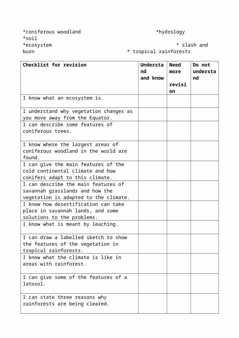
*coniferous woodland *hydrology *soil*ecosystem * slash and burn * tropical rainforests
Checklist for revision Understandand know
Need more revision
Do not understand
I know what an ecosystem is.
I understand why vegetation changes as you move away from the Equator.I can describe some features of coniferous trees.
I know where the largest areas of coniferous woodland in the world are found.I can give the main features of the cold continental climate and how conifers adapt to this climate.I can describe the main features of savannah grasslands and how the vegetation is adapted to the climate.I know how desertification can take place in savannah lands, and some solutions to the problems.I know what is meant by leaching.
I can draw a labelled sketch to show the features of the vegetation in tropical rainforests.I know what the climate is like in areas with rainforest.
I can give some of the features of a latosol.
I can state three reasons why rainforests are being cleared.
I understand how the nutrient cycle changes once the forest has been cleared.I can explain a conflict between local people and new settlers in the rainforests.I understand what is meant by sustainable management of forests, and can give examples.I can list advantages for preserving the world’s forested areas.

Case studies.I know one each for an area of savannah, grassland, tropical rainforest and coniferous woodland.
I know one for sustainable methods of forest management.
PopulationChecklist for revision Understand
and knowNeed morerevision
Do notunderstand
I know the world distribution of population.
I know the reason for the distribution (physical and human)I know the components of population change (NI = BR-DR +/- Migration)I understand the differences in growth between LEDCs and MEDCs.I can draw and label the stages in the Demographic Transition Model (DTM)I can draw population pyramids for stages 2 and 4 in the DTM.I can describe the characteristics of a population pyramid.
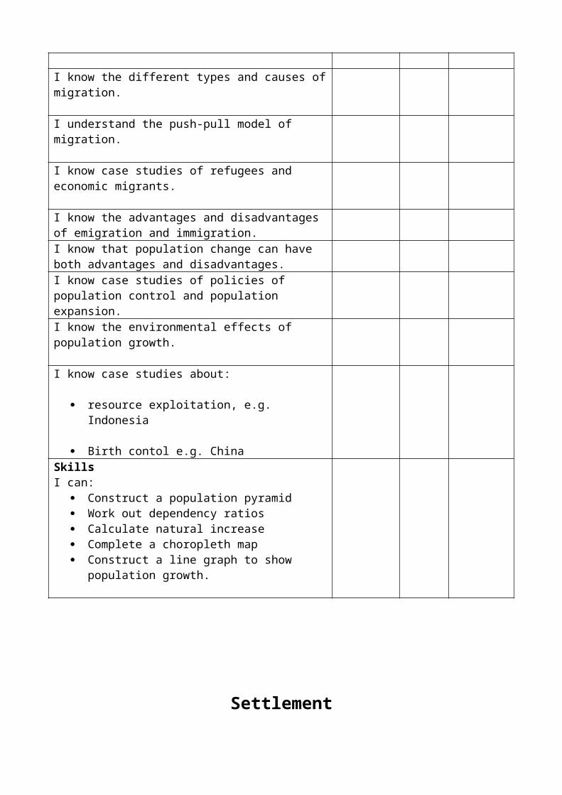
I know the different types and causes of migration.
I understand the push-pull model of migration.
I know case studies of refugees and economic migrants.
I know the advantages and disadvantages of emigration and immigration.I know that population change can have both advantages and disadvantages.I know case studies of policies of population control and population expansion.I know the environmental effects of population growth.
I know case studies about:
resource exploitation, e.g. Indonesia
Birth contol e.g. China

SkillsI can:
Construct a population pyramid Work out dependency ratios Calculate natural increase Complete a choropleth map Construct a line graph to show population growth.
Settlement
Checklist for revision Understandand know
Need morerevision
Do notunderstand
I know five different siting factors for settlements
I can describe the site of at least one settlement I have studied.I understand settlement hierarchy.
I know three ways of arranging settlements into a hierarchy.I can name examples of settlements with different functions.I know a case study of a settlement which has changed its function over time.I can draw and describe models of urban morphology for cities in LEDCs and MEDCs.I know the differences between the morphology of an LEDC and an MEDC city.I know the names and characteristics of the different urban zones in cities.I know the problems of cities in LEDCs and MEDCs.
In MEDCs I understand the conflicts and issues connected with the rural-urban fringe:
New roads Green belts Urban sprawl The need for conservation.

Case studiesI know case studies of attempts to solve problems in:
Inner cities in MEDCs Shanty towns in LEDCs
SkillsI can interpret OS maps of settlements at 1:50 000 and 1:25 000.I can describe:
Patterns of settlement Site and situation Location and shape of settlement Urban zones from maps.
Agriculture
Checklist for revision Understandand know
Need more revision
Do notunderstand
I can produce a system diagram for a farm with inputs, processes and outputs.
I know three physical factors which affect farming.
I know four human factors that affect farming.
I know the general distribution of farm types in Britain.
I know the reason for the distribution of dairying, arable, hill sheep and market gardening in Britain.
I know the physical and human factors which affect each type of farming and the farming system.
I know about the advantages and disadvantages of the Green Revolution, including sanitisation and inappropriate technology.
I know examples of techniques of soil conservation and appropriate technology in LEDCs.
I know how the CAP in the European Union has affected agriculture, e.g quotas. Set-aside, and stewardship.
I know the causes and effects of soil erosion and hedge removal in MEDCs.

Case studies
I know case studies of farm systems which are: commercial subsistence intensive extensive.
I know what the Green Revolution is and I know a case study of how it changed farming in an area.
Industry
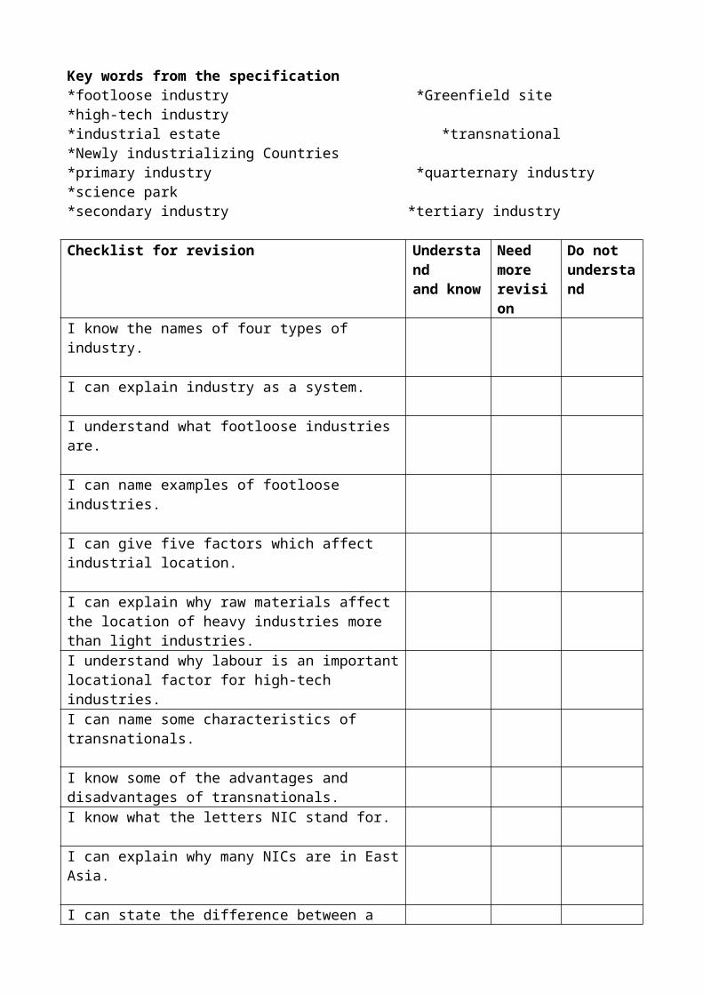
Key words from the specification*footloose industry *Greenfield site *high-tech industry*industrial estate *transnational *Newly industrializing Countries*primary industry *quarternary industry *science park*secondary industry *tertiary industry
Checklist for revision Understandand know
Need morerevision
Do notunderstand
I know the names of four types of industry.
I can explain industry as a system.
I understand what footloose industries are.
I can name examples of footloose industries.
I can give five factors which affect industrial location.
I can explain why raw materials affect the location of heavy industries more than light industries.I understand why labour is an important locational factor for high-tech industries.I can name some characteristics of transnationals.
I know some of the advantages and disadvantages of transnationals.I know what the letters NIC stand for.
I can explain why many NICs are in East Asia.
I can state the difference between a brownfield site and a Greenfield site.I know the advantages and disadvantages of Greenfield sites.I can describe the differences between an industrial estate and a science park.Case studiesI know one for an industrial area in the UK.
I know one for an industrial area in the EU.(outside UK)
I know one for a Newly Industrializing Country (an LEDC)
I know one for a science park.
Managing Resources
Key words from the specification
*acid rain *global warming *ozone layer damage*alternative energy source *green tourism *recycling*fossil fules *National Park *renewable energy*finite resources *non-renewable *sustainable development
Checklist for revision Understandand know
Need more revision
Do not understand
I can name the fossil fuels.
I know why they are called non-renewable.
I understand why people in some countries consume more energy than in others.I understand the meaning of renewable energy source.
I can name some examples of alternative energy sources.
I know some advantages for alternative sources.
I also know some of their disadvantages.
I know what recycling is and can give an example.
I understand the meaning of energy efficient.
I can explain some of the ways to reduce pollution.

I can name different types of places tourists visit.
I know about the National Parks.
I can explain the problems concerning visitors in National Parks.I can summerize the advantages of tourism.
I know the disadvantages of tourism for LEDCs.
I can explain how ‘Green’ tourism is different.
I can suggest what needs to be done to make the Earth a better and cleaner place for living inCase studiesI know one for alternative/renewable energy.I know one for a National Park.I know one for a tourist area in an LEDC.
DevelopmentKey words from the specification.
*aid *interdependence *short-term aid*charitable aid *long-term aid *tied aid*development *political aid *trade*GNP (Gross National Product) *product dependency *trade grouping
Checklist for revision Understandand know
Need more revision
Do not understand
I know the position of the line dividing north and south.
I understand what is meant by a developed country.
I know what the letters GNP stand for.
I understand how population characteristics differ between MEDCs and LEDCs.I know how to use health, literacy and housing as social measures of development.I can give examples of environmental hazards.
I can name some water related tropical health hazards.
I understand why clean water is needed to stop disease.
I know the difference between primary and secondary products.I can name an example of a trade group.
I understand the general pattern of world trade.
I can explain what is meant by interdependence.
I know why world trade favours MEDCs
I can give the reasons why some countries depend on aid.
I know what is meant by bilateral aid.
I understand the differences between short-term and long-term aid.I can give examples of the aid work of charities (NGOs)
Case studiesI know one for short-term aid.I know one for long-term aidI know one for a trade grouping.
PAPER TWO: PEOPLE AND THE HUMAN ENVIRONMENT
CASE STUDIES
POPULATION
Sparsely populated areas: Amazon rainforests, fold mountains – Alps, Himalayas.
Densely populated areas: S.E.Brazil, S Wales or Ruhr coalfield. Lower Thames basin/Tees basin.
Controlling birth rate: China’s one child policy, India’s policies.
Ageing population: UK policies, e.g. increasing retirement age.
Migration: Mexicans to the USA. Migration to Brazil.Palestinian refugees.
Problems of population Rapid migration to S.E. Brazil and resulting problem.Growth:
SETTLEMENT:
Settlement site and Dry site: Ely.Functions: Defensive: Durham/Corfu
Bridging point: Maldon, Dartford.Benfleet, Southend: commercial/call centre, tourist resort.Swansea, Port Talbot: Industrial Sao Paulo.Industrial/ commercial.Basildon/New Town. Brasilia.
Burgess model of Sao Paulo/LondonCity structure:

Problems of urbanisation: Sao Paulo/London
Solutions: London Docklands.Shanty town improvements in Sao Paulo.
Urban sprawl:Brownfield/Greenfield sites: London
Thames Gateway Project, Lakeside.
INDUSTRY:
Industry as a system: Alabastic Pot industry.Egypt.Steel Industry.
UK industry: S. WalesCambridge Science Park and M4 Corridor.
EU Industry: Rhine – Ruhr area.
LEDC Industry: Car/steel industry in Sao Paulo.TNC in Malaysia, e.g. Nike, Dyson.
Industrial Change/Environmental impact: S Wales/ Rhine Ruhr.
Globalisation of Industry: Nike/Dyson
Legislation to clean up theEnvironment: UK/S Wales
Problems caused by pressure For development on urbanFringe: Cambridge Science Park – new housing, shops, traffic.
Industry in LEDCInformation sector: S.E. Brazil/Sao Paulo.
Alabaster Pot Industry. Egypt.
MANAGING RESOURCES
High resource use in MEDC: USA/UK.

Lower resource use inMEDC: Kenya/ Tanzania
Increasing resource useIn LEDC: China or other NICs.
Renewable energy: Wind power (18 off shore wind farms for UK).HEP3 Gorgesdam (China) Yangste.
UK tourist areas (MEDC): National parks, e.g. Lake District.Derbyshire DalesTourist resort: SouthendHoneypot sites: WindermereSouthend: Peter Pan’s/Adventure Island.(see coats) Swanage.
Tourism in an LEDC: eg. Kenya, Maasai Mara Game Park or Coatal area near Mombasa.Lamu coatal area.
Benefits: e.g. Lamu (Kenya) Green or Eco tourism.
DEVELOPMENT:
Measurement of Development: Statistics for Brazil/ Kenya/ Tanzania.
NIC, e.g Malaysia
Water supply: Dams on San Fransisco, e.g. at Sobradinho,NCO scheme, e.g. Water Aid. Appropriate technology,e.g. wells, “murti” store
Education/urbanizationRoads, removal ofWoodland/impact of tourism(Ngoro, Ngoro Crater)in LEDC: Tanzania.
Trade: Coffee in Tanzania. Bananas – Carribean Fairtrade.
Short term aid/long term: e.g Tsunami, Comic Relief.
Bilateral Aid: See P113 Revision Book.Pergau Dam in Malaysia (UK aid)
Charitable Aid (NGOs) Tsunami aid from charities, Christian Aid, Oxfam, Save the Children,Cafod. £15 million in 1994 for Etheopian drought.
Multilateral Aid: Ghana. Aid from World Bank for small scale projects.

PHYSICAL: EXAMPLESTECTONIC ACTIVITY
1. Plate boundariesConstructive - Mid Atlantic Ridge
Indian Ocean
Destructive - Nazca plate/ S America (Nevada del Ruiz)Cocos plate/ N America (Mexico City)Pacific Ring Of Fire
Conservative - San Andreas Fault
Collision - India/Eurasian plate (Himalayas)Africa/ Eurasian (Alps)
Fold Mts. (Himalayas/Alps) Earthquakes (MEDC 1995 – KOBE (Japan)LEDC 1985 (Mexico City)
Volcanoes - (MEDC – Mt. St. Helens 1980 (USA)LEDC – Nevada del Ruiz (Columbia) or Monserrat.
Shield volcano (Basic) – Mauna Loa (Hawaii) - Composite volcano –Mt. Etna, Mt. St. Helens, Vesuvius. Ash cone (acid lava) – Mont Pelee
Use of fold mountains – Alps. Rural areas; Mt. St. Helens,Nevada del Ruis, Armero
Urban Area: Kobe, San Francisco
2. Rocks and LandscapeIgneous rock – granite – Dartmoor. Tor (Brown Willy)Sedimentary rock – chalk and limestone.
Chalk – N or S Downs. S Downs near BrightonSpring line villages – Fulking. Escarpment – S Downs and N Downs
Limestone – Yorkshire Dales/Peak DistrictLimestone pavement (Malham area)Gorge (Gordale/Cheddar)
Quarrying – at Buxton in Derbyshire In Yorkshire Dales near Settle.
3. Rivers landscape processes and featuresMississippi and Thames. Waterfall and gorge – Niagara Falls and Valley.Tees River.Flooding: Mississippi. Land use of the Tees/Land use in the Lake District (Upland area) – Forestry, water storage,H.E.P., Tourism or Upper Tees.River management – Mississippi (Levees, river straightening, afforestation, spillways, etc.)Ganges (LEDC).
4. GlaciationCorrie – Ted Tarn )Glacial trough – Langdale ) Lake District Ribbon Lake – Windermere/Ullswater )
Pyramidal peak – Matterhorn (Alps)Drumlius and Morasines – Ribble Valley. Cumbria
Boulder day – East Anglia
Human use – Lake District (see rivers above) and Alps.
5. CoastsCostal erosion –Swanage Area/ Christchurch Bay – Barton-on-Sea.
Swanage – Swanage Bay, Headland and wave cut platform –Ballard Down.
Stacks – Old Harry Roaks.Arches and Caves also in Ballard Down.Barton-on-Sea – Costal erosion, defences and management.Both above are tourist areas – also think about Southend for tourism.
Depositions and spits – Hurst Castle Spit, Studland.(Yorkshire coast – Holderness costal erosion (Mappleton).Cliffs, caves, etc. Flamborough Head.
6. Weather and ClimateDrought zone, e.g. Sahel, Africa (Ethiopia, Sudan) or NE BrazilHurricane e.g. Hurrican Andrew (1992)
7. EcosystemsAmazon Rain Forest – Canjas Scheme.