Embed Size (px)
Citation preview

HUMAN GEODESY– SHAPING A NEW SCIENCE AND
PROFESSION FOR THE WORLD OF TOMORROW
Walter Timo de Vries – TUM – München / Germany
Presented at th
e FIG W
orking Week 2017,
May 29 - June 2, 2
017 in Helsinki, F
inland

HUMAN GEODESY– SHAPING A NEW SCIENCE AND
PROFESSION FOR THE WORLD OF TOMORROW
Walter Timo de Vries
Technische Universität München
Faculty of Civil, Geo and environmental engineering
Chair Land Management
31 May 2017
HUMAN GEODESY – WT de Vries
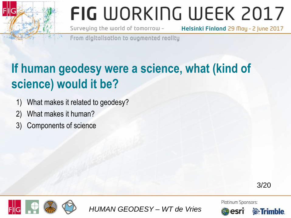
If human geodesy were a science, what (kind of
science) would it be?
1) What makes it related to geodesy?
2) What makes it human?
3) Components of science
3/20
HUMAN GEODESY – WT de Vries
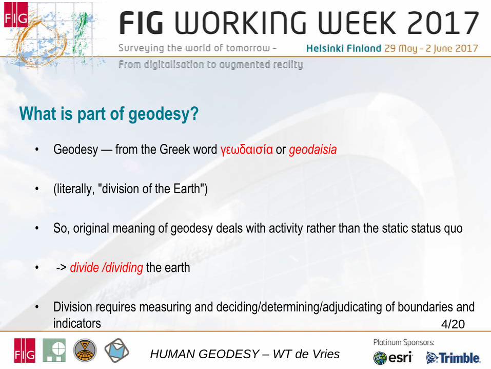
What is part of geodesy?
• Geodesy — from the Greek word γεωδαισία or geodaisia
• (literally, "division of the Earth")
• So, original meaning of geodesy deals with activity rather than the static status quo
• -> divide /dividing the earth
• Division requires measuring and deciding/determining/adjudicating of boundaries and
indicators
4/20
HUMAN GEODESY – WT de Vries
5/20
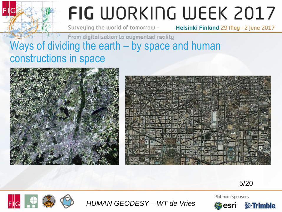
Ways of dividing the earth – by space and human constructions in space
HUMAN GEODESY – WT de Vries
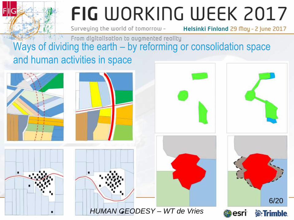
Ways of dividing the earth – by reforming or consolidation space
and human activities in space
HUMAN GEODESY – WT de Vries
6/20
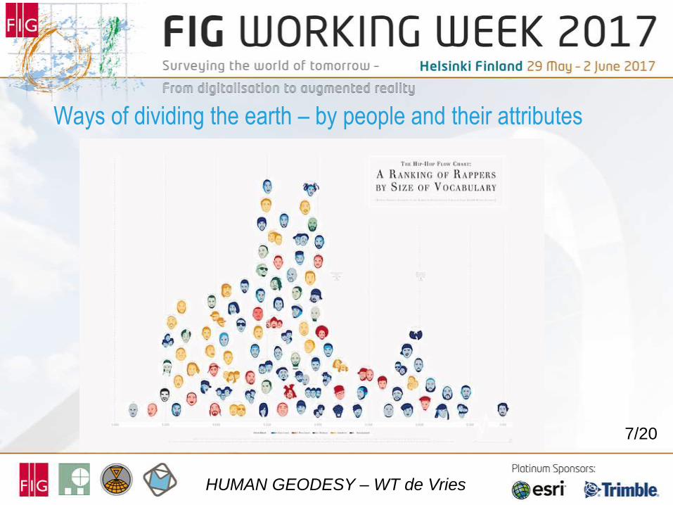
Ways of dividing the earth – by people and their attributes
7/20
HUMAN GEODESY – WT de Vries
8
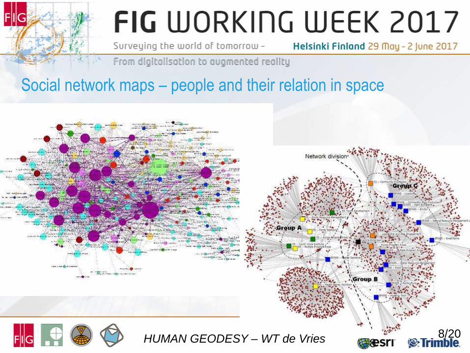
Social network maps – people and their relation in space
HUMAN GEODESY – WT de Vries 8/20
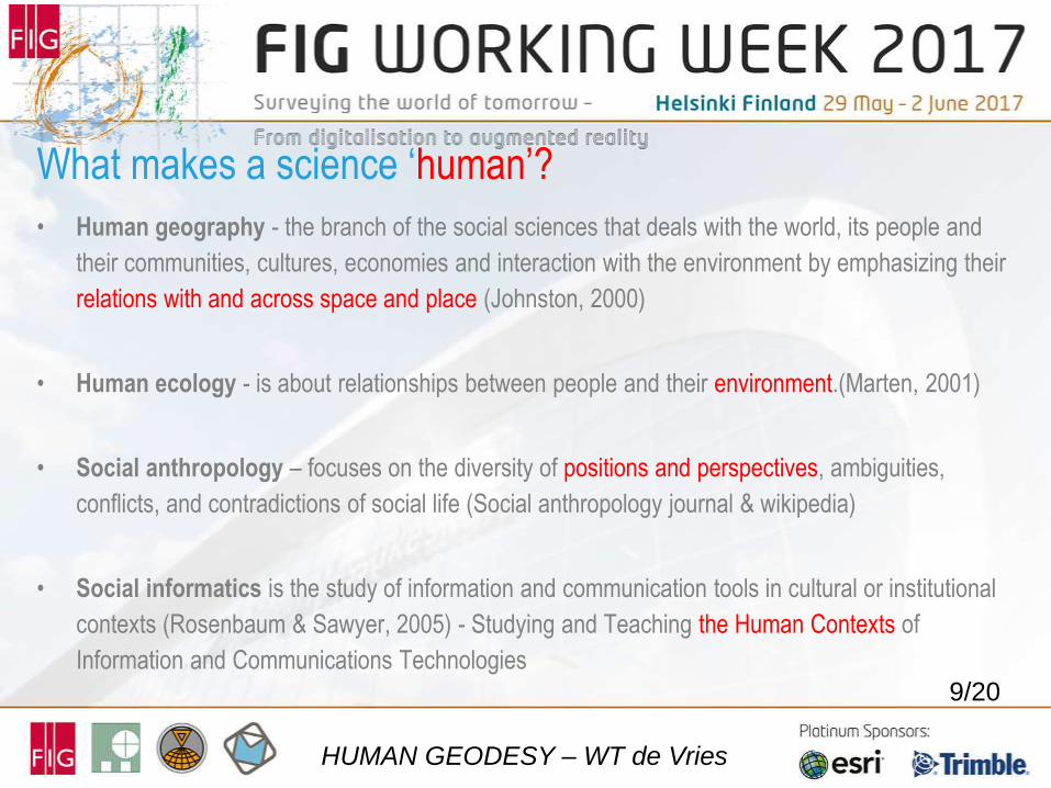
• Human geography - the branch of the social sciences that deals with the world, its people and
their communities, cultures, economies and interaction with the environment by emphasizing their
relations with and across space and place (Johnston, 2000)
• Human ecology - is about relationships between people and their environment.(Marten, 2001)
• Social anthropology – focuses on the diversity of positions and perspectives, ambiguities,
conflicts, and contradictions of social life (Social anthropology journal & wikipedia)
• Social informatics is the study of information and communication tools in cultural or institutional
contexts (Rosenbaum & Sawyer, 2005) - Studying and Teaching the Human Contexts of
Information and Communications Technologies
What makes a science ‘human’?
HUMAN GEODESY – WT de Vries
9/20
10
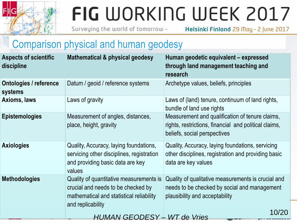
Comparison physical and human geodesy Aspects of scientific
discipline
Mathematical & physical geodesy Human geodetic equivalent – expressed
through land management teaching and
research
Ontologies / reference
systems
Datum / geoid / reference systems Archetype values, beliefs, principles
Axioms, laws Laws of gravity Laws of (land) tenure, continuum of land rights,
bundle of land use rights Epistemologies Measurement of angles, distances,
place, height, gravity
Measurement and qualification of tenure claims,
rights, restrictions, financial and political claims,
beliefs, social perspectives
Axiologies Quality, Accuracy, laying foundations,
servicing other disciplines, registration
and providing basic data are key
values
Quality, Accuracy, laying foundations, servicing
other disciplines, registration and providing basic
data are key values
Methodologies Quality of quantitative measurements is
crucial and needs to be checked by
mathematical and statistical reliability
and replicability
Quality of qualitative measurements is crucial and
needs to be checked by social and management
plausibility and acceptability
HUMAN GEODESY – WT de Vries 10/20
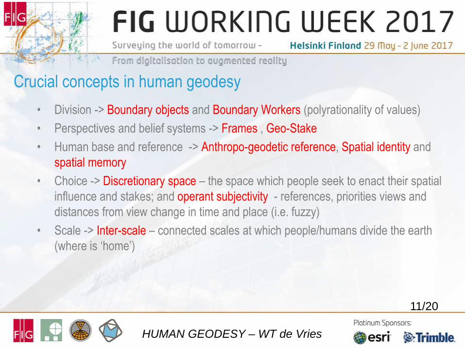
• Division -> Boundary objects and Boundary Workers (polyrationality of values)
• Perspectives and belief systems -> Frames , Geo-Stake
• Human base and reference -> Anthropo-geodetic reference, Spatial identity and
spatial memory
• Choice -> Discretionary space – the space which people seek to enact their spatial
influence and stakes; and operant subjectivity - references, priorities views and
distances from view change in time and place (i.e. fuzzy)
• Scale -> Inter-scale – connected scales at which people/humans divide the earth
(where is ‘home’)
11/20
Crucial concepts in human geodesy
HUMAN GEODESY – WT de Vries
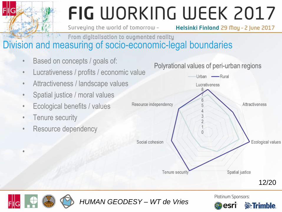
• Based on concepts / goals of:
• Lucrativeness / profits / economic value
• Attractiveness / landscape values
• Spatial justice / moral values
• Ecological benefits / values
• Tenure security
• Resource dependency
•
12/20
Division and measuring of socio-economic-legal boundaries
HUMAN GEODESY – WT de Vries
13
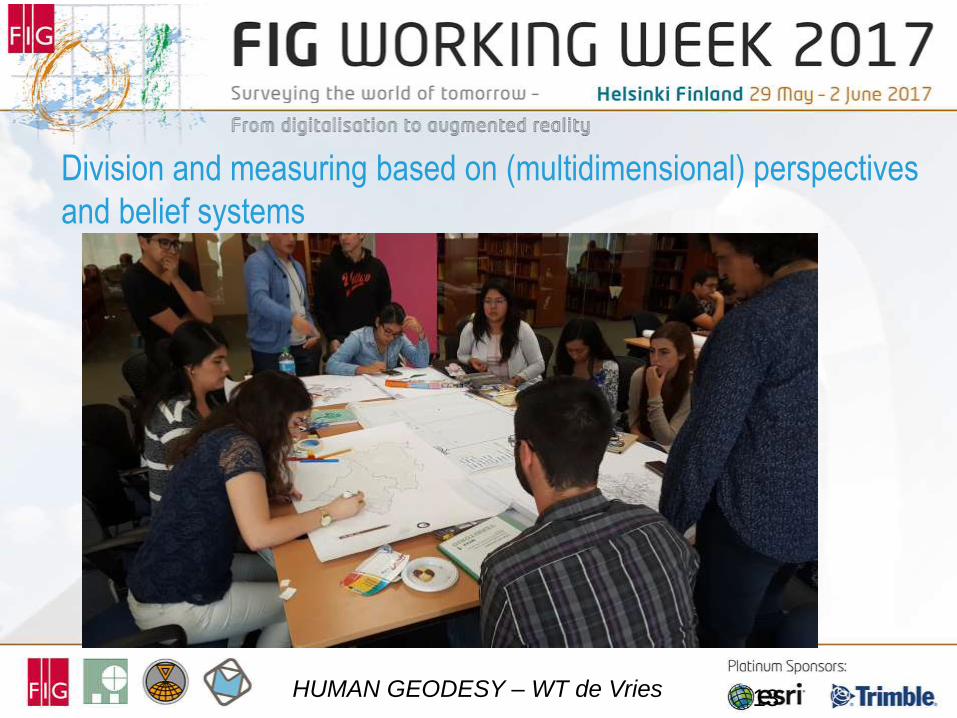
Division and measuring based on (multidimensional) perspectives
and belief systems
HUMAN GEODESY – WT de Vries
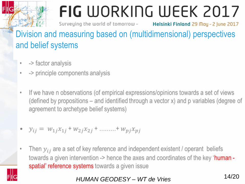
14/20
Division and measuring based on (multidimensional) perspectives
and belief systems
HUMAN GEODESY – WT de Vries

Human geodesy relies on ‘Smart’ hardware and software
-> decision support tables, tablets and smart phones
15/20
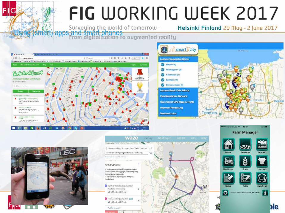
Using (smart) apps and smart phones
16
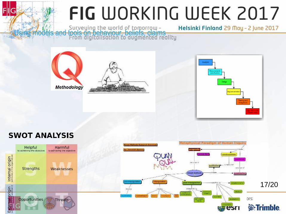
Using models and tools on behaviour, beliefs, claims
17/20
can be explained as
• a scientific discipline
• studying how people organise, value, perceive, choose, claim and institutionalise their
relations with land and space
• whereby each cultural setting and personal identity and memory derives different
choices to manage land and space,
• Whereby information, participation and assessment of quality of result are crucial
• Implications:
• The local and contextual differences challenges both engineers and social scientists in
close collaboration to come up with feasible and acceptable (socio-technical) solutions to
manage land & space in each respective local context.
• Each local contexts derives new solutions and dilemmas at the same time
•
18/20
The scientific discipline of human geodesy
HUMAN GEODESY – WT de Vries
• Technical solutions should not only be created in laboratories, isolate offices, within the
government / public administration and by professional (engineering) communities of practice;
they require solid input of stakeholders, beneficiaries or affected people
• Local circumstances, including culture, politics, conventions and traditions, are often crucial in
the success, ownership and adoption of the technical solutions
• Measuring opinions and views; angles and distances of opinions and views
• There is not a one-for-all solution. Often solutions need to be contextualised (issue of inter-
scale)
• Be attentive to other frames, conceptual beliefs, meanings, perspectives and priorities than your
own; sometimes they contradict your own (issue of boundary objects)
• Impact of solution and changes that occur after implementation must always be evaluated (a
priori and ex post) and monitored (issue of quality)
• Scale, frames, references, quality, space and boundary objects make the links between
technical and social solutions
Utilization of human geodesy
HUMAN GEODESY – WT de Vries
19/20

THANK YOU FOR YOUR ATTENTION
20/20
HUMAN GEODESY – WT de Vries