Embed Size (px)
Citation preview

How Information on a Map Can Be DisplayedLesson 6

Cartographer Cartographers collect and interpret geographical
information and prepare maps and other databases. Cartographers use many tools to study and
communicate geographic information. They use photographs, satellite information,
survey data, and other sources to collect information and translate it into maps and other tools needed for environmental planning and management.
Cartographers increasingly use global positioning systems (GPS) and geographic information systems (GIS) to collect and use geographic data.
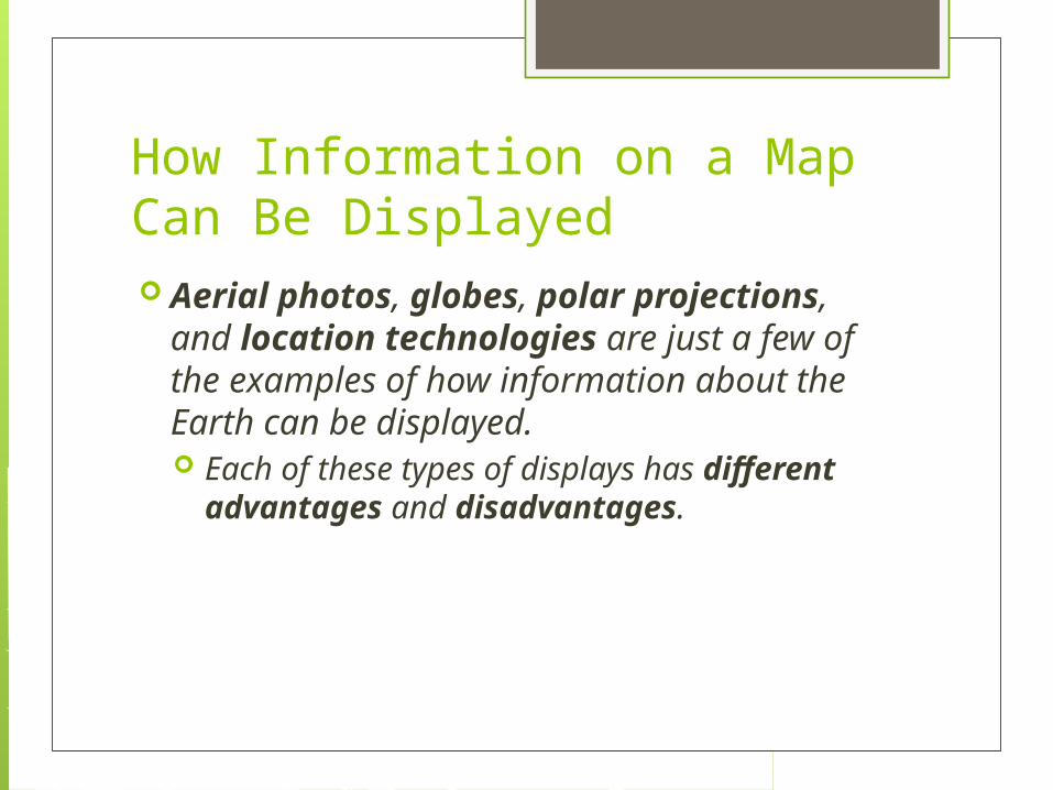
How Information on a Map Can Be Displayed Aerial photos, globes, polar
projections, and location technologies are just a few of the examples of how information about the Earth can be displayed. Each of these types of displays has different
advantages and disadvantages.

Polar Projections Because the Earth is round, map
projections on flat surfaces always have some type of distortion.
A polar projection is good for showing the North Pole or the South Pole, but it does not accurately represent areas that are far away from the poles.

Polar Projections On the map to the
right, the areas furthest from the center point have a great deal of distortion.

Aerial Photos Aerial photos show
how land is being used in an area.
The aerial photo to the right shows roads, water, small buildings, and skyscrapers.

Aerial Photos While different types of maps might
show features such as roads or rivers, these types of maps have limitations and cannot show everything.
Aerial photos can be used to see types of information that cannot be seen on regular maps.

Globes Because the Earth is round, the most accurate
way to represent the Earth is on a round surface of a globe. A globe is a scale model of the Earth that
correctly represents area, the size and shape of physical features, distances between places, and compass directions.
A globe is very useful when looking at large areas or the entire world.

Geographic Information Systems A Geographic Information System (GIS)
records, analyzes, and presents data about a specific location.
The information is presented in different layers so that multiple features can be studied together.
Video: Geographic Information Systems (GIS)

Geographic Information Systems
This GIS displays monitoring wells, industries, and population of an area.

Global Positioning Systems
The Global Positioning System (GPS) uses a system of 24 satellites to pinpoint exact locations across the world. This information is then sent
through radio waves that can be received by the U.S. government or by individuals.
GPS is commonly used by individuals today to provide driving directions.
The Global Positioning System (GPS) uses a system of 24 satellites to pinpoint exact locations across the world.
This information is then sent through radio waves that can be received by the U.S. government or by individuals.
GPS is commonly used by individuals today to provide driving directions.

Digital Satellite Images A special type of
“aerial photography” Photographs of
Earth taken by satellites
Used to see what an area looks like high above the Earth’s surface
Advantages Creates more accurate
maps Covers a large ground
area- showing mountains, rivers and roads
Can tell a great deal about what has happened to a city’s size, wealth, and population growth

Digital Satellite ImageryBombay, India
Pilger, NebraskaJune 2014Twin Tornadoes
New Orleans, LASeptember 2005Hurricane Katrina
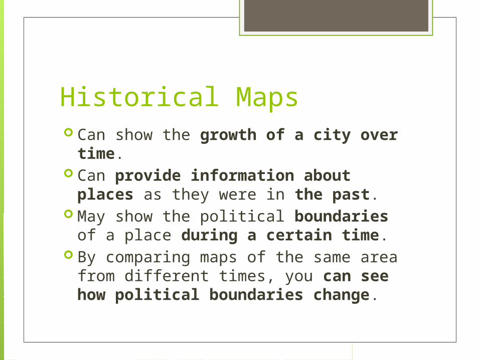
Historical Maps Can show the growth of a city over
time. Can provide information about
places as they were in the past. May show the political boundaries of a
place during a certain time. By comparing maps of the same area
from different times, you can see how political boundaries change.
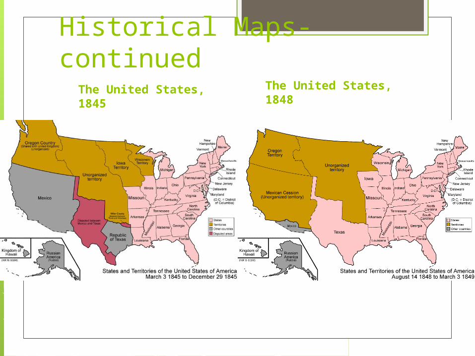
Historical Maps- continuedThe United States, 1845
The United States, 1848