Embed Size (px)
Citation preview
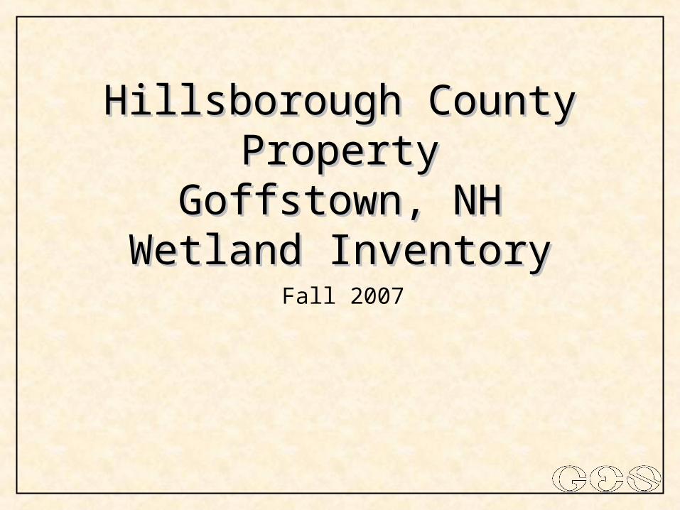
Hillsborough County PropertyHillsborough County PropertyGoffstown, NHGoffstown, NH
Wetland InventoryWetland Inventory
Fall 2007
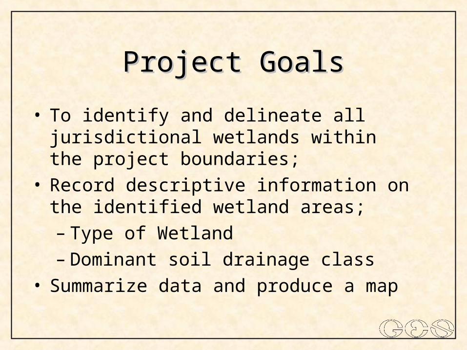
Project GoalsProject Goals
• To identify and delineate all jurisdictional wetlands within the project boundaries;
• Record descriptive information on the identified wetland areas;– Type of Wetland– Dominant soil drainage class
• Summarize data and produce a map
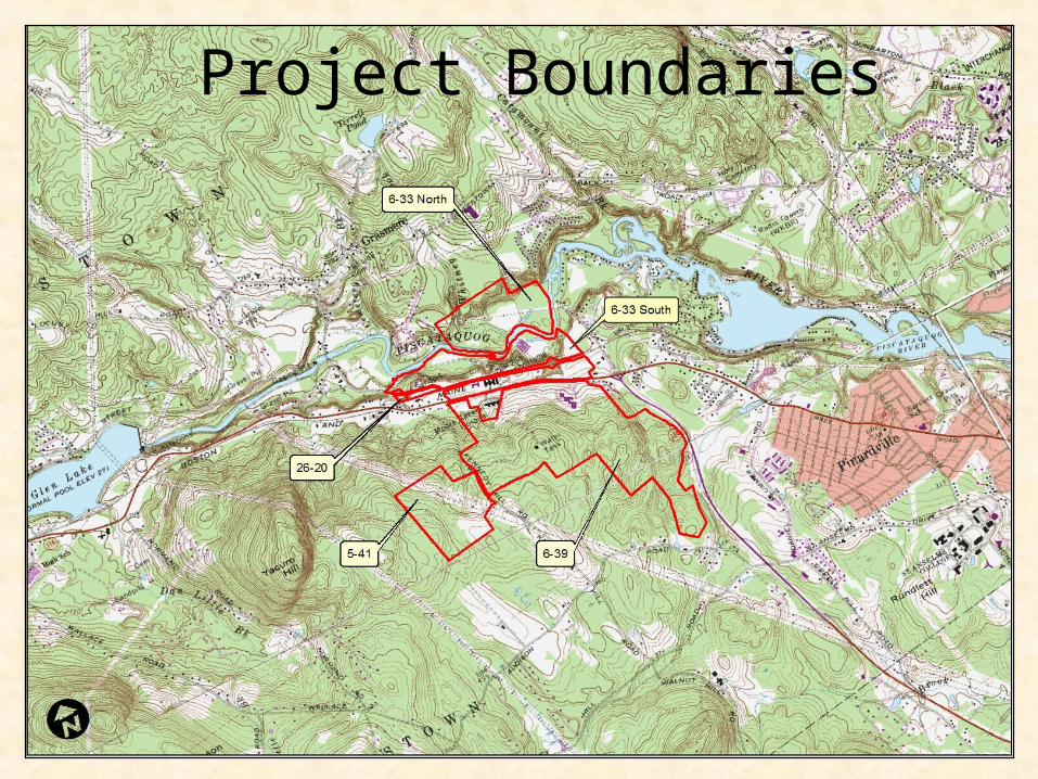
Project Boundaries
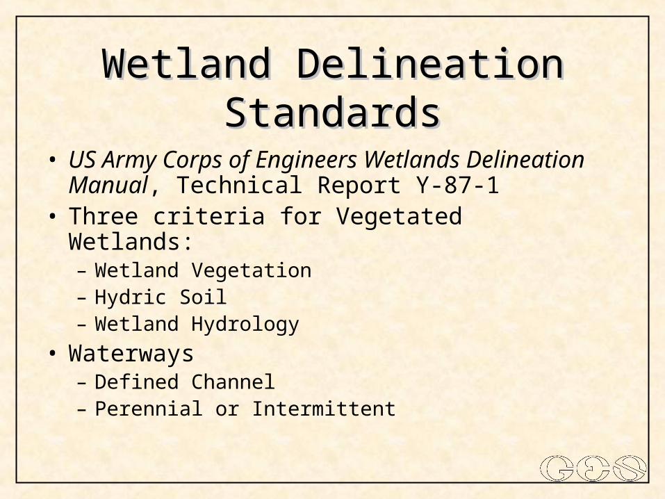
Wetland Delineation StandardsWetland Delineation Standards
• US Army Corps of Engineers Wetlands Delineation Manual, Technical Report Y-87-1
• Three criteria for Vegetated Wetlands:– Wetland Vegetation– Hydric Soil– Wetland Hydrology
• Waterways– Defined Channel– Perennial or Intermittent
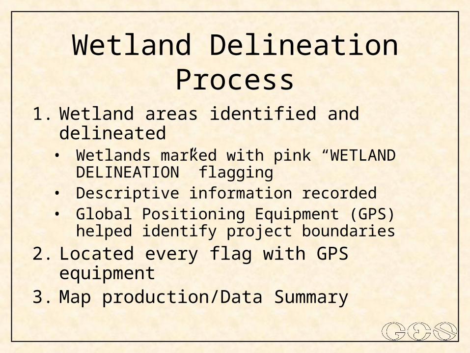
Wetland Delineation Process
1. Wetland areas identified and delineated• Wetlands marked with pink “WETLAND
DELINEATION” flagging• Descriptive information recorded• Global Positioning Equipment (GPS) helped
identify project boundaries
2. Located every flag with GPS equipment3. Map production/Data Summary
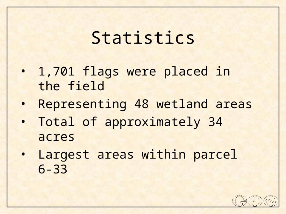
Statistics
• 1,701 flags were placed in the field
• Representing 48 wetland areas
• Total of approximately 34 acres
• Largest areas within parcel 6-33
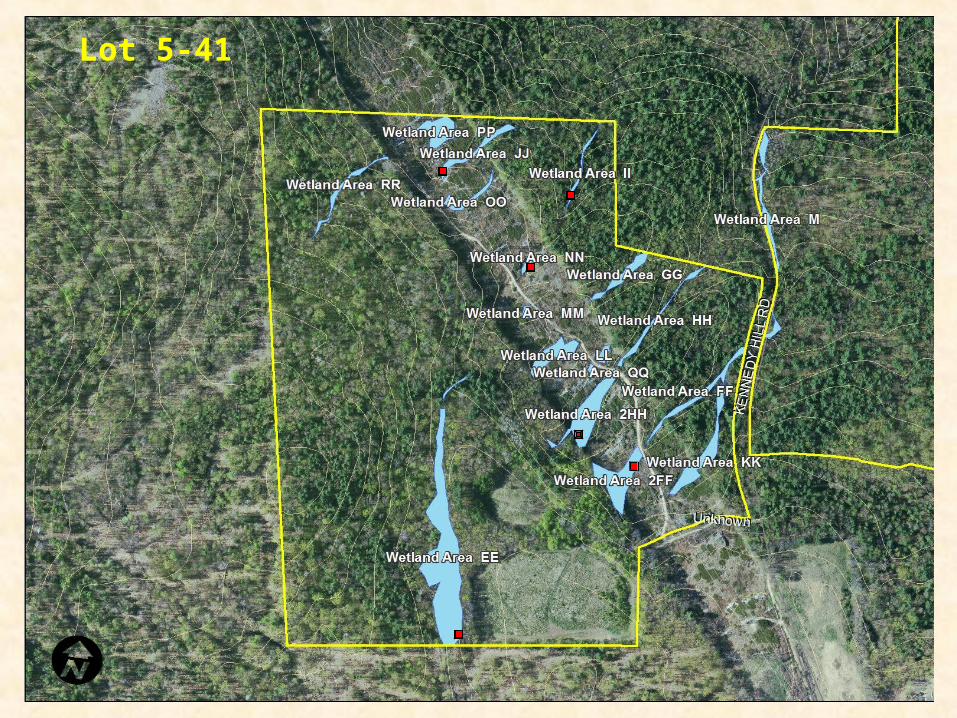
Lot 5-41
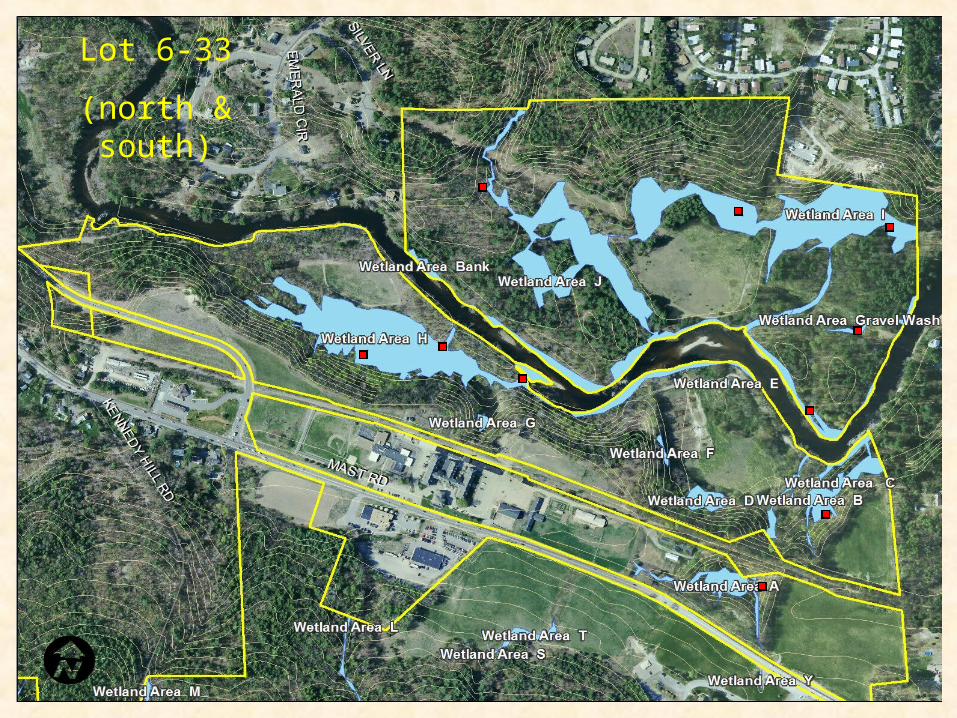
Lot 6-33
(north & south)
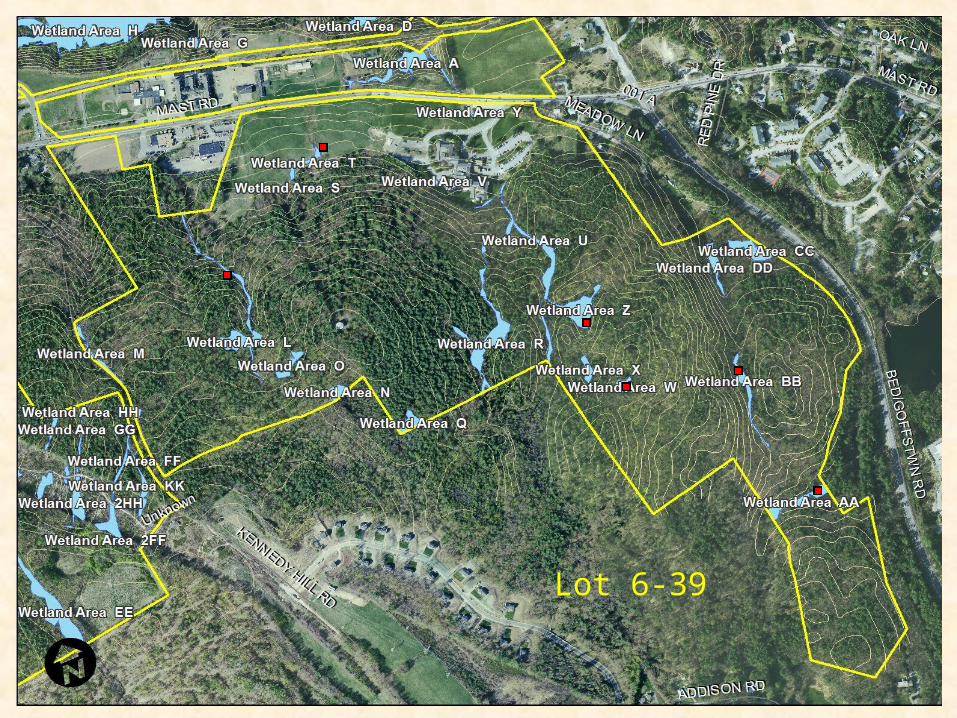
Lot 6-39