Embed Size (px)
Citation preview
High resolution survey and orthophoto project of the Dosso-Gaya region in the
Republic of Niger by Tim Leary, Woolpert Inc.


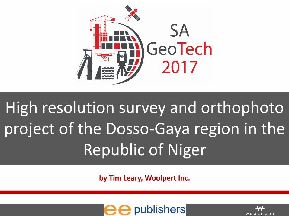
• Photogrammetry & Remote Sensing • LiDAR • Professional Surveying • Geographic Information Systems (GIS) • Sensor development • Sensor integration & testing • Unmanned aerial systems (UAS) • Etc.
Geospatial Solutions
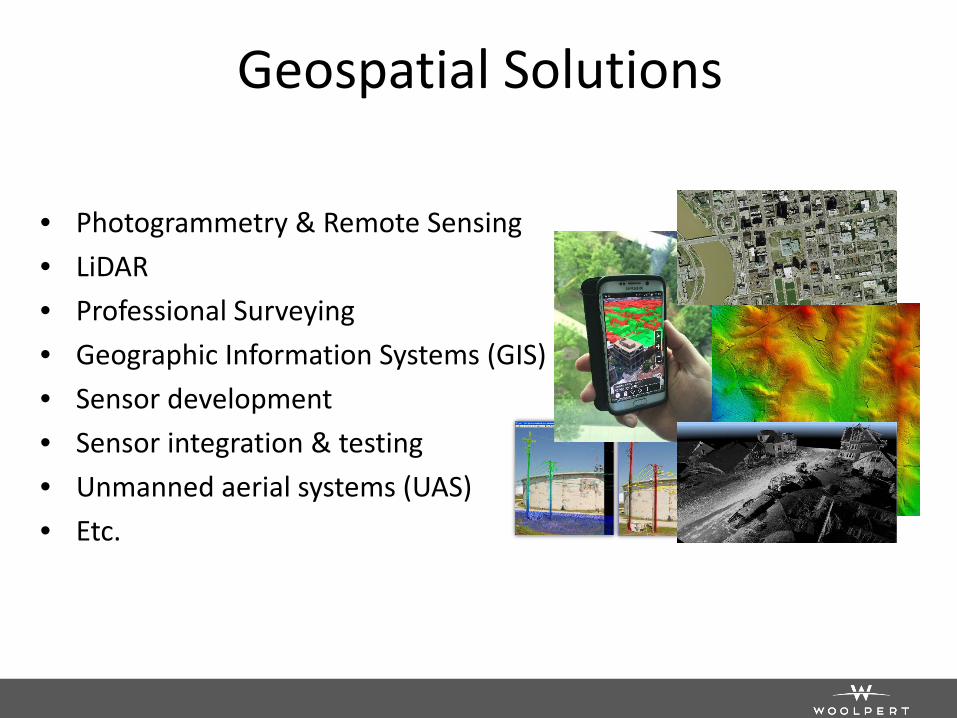
GEOINT • Geospatial Intelligence Analysis
– Change Detection – Activity-based Intelligence – Trends/Patterns of Life – Persistent Surveillance
• Software Solutions – Cloud processing – Software development and
sustainment – Imagery science – Processing, Exploitation &
Dissemination (PED) • Data Production
– FD, UFD, MGCP, TLM, DTED, City Graphics
– HR3DGI Data Collection Development Tools
MCC Niger Overview Woolpert obtained new airborne LiDAR and 4-band digital imagery over the Dosso-Gaya Irrigation zone along the Niger River and the selected road sectors along Rural Access road, RN7 road, and RN35 road within Niger. • Infrastructure assessment and Improvement project to facilitate building
an inland port to supply goods and services within the Dosso-Gaya region. • The LiDAR was captured at a nominal pulse spacing (NPS) of no greater
than 0.5-meters (4PPSM) and 4-band digital imagery at a 20-centimeter pixel resolution (minimum).
Mobilization and Delivery Schedule: • Mobilization - NLT 7 days from contract award • Deliverable 1: Mobilization Report - NLT 1 week after mobilization • Deliverable 2: Ground Control, Classified LiDAR, DEM, and DTM - NLT 3
weeks after mobilization report • Deliverable 3: Ortho Rectified Images & 25cm Contours - NLT 4 weeks after
mobilization report
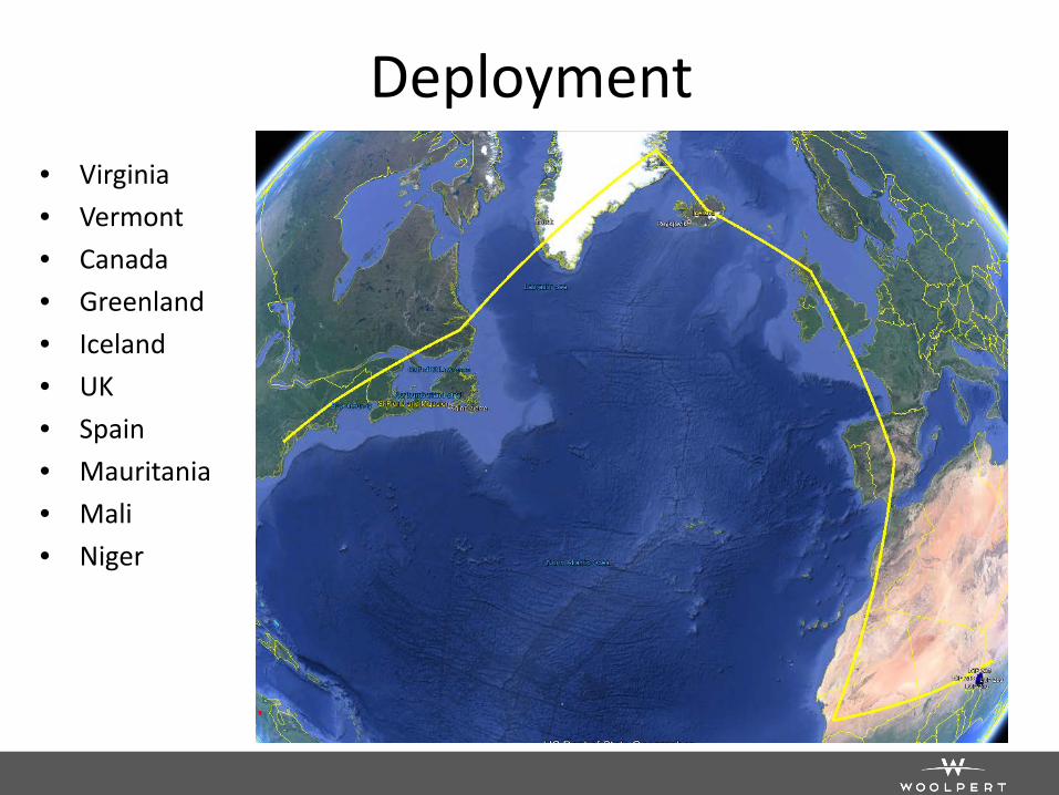
Deployment • Virginia • Vermont • Canada • Greenland • Iceland • UK • Spain • Mauritania • Mali • Niger
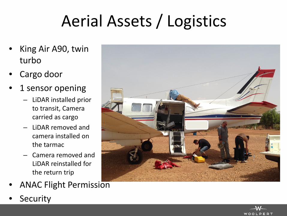
Aerial Assets / Logistics • King Air A90, twin
turbo • Cargo door • 1 sensor opening
– LiDAR installed prior to transit, Camera carried as cargo
– LiDAR removed and camera installed on the tarmac
– Camera removed and LiDAR reinstalled for the return trip
• ANAC Flight Permission • Security
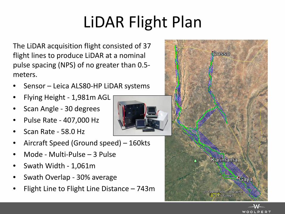
LiDAR Flight Plan The LiDAR acquisition flight consisted of 37 flight lines to produce LiDAR at a nominal pulse spacing (NPS) of no greater than 0.5-meters. • Sensor – Leica ALS80-HP LiDAR systems • Flying Height - 1,981m AGL • Scan Angle - 30 degrees • Pulse Rate - 407,000 Hz • Scan Rate - 58.0 Hz • Aircraft Speed (Ground speed) – 160kts • Mode - Multi-Pulse – 3 Pulse • Swath Width - 1,061m • Swath Overlap - 30% average • Flight Line to Flight Line Distance – 743m
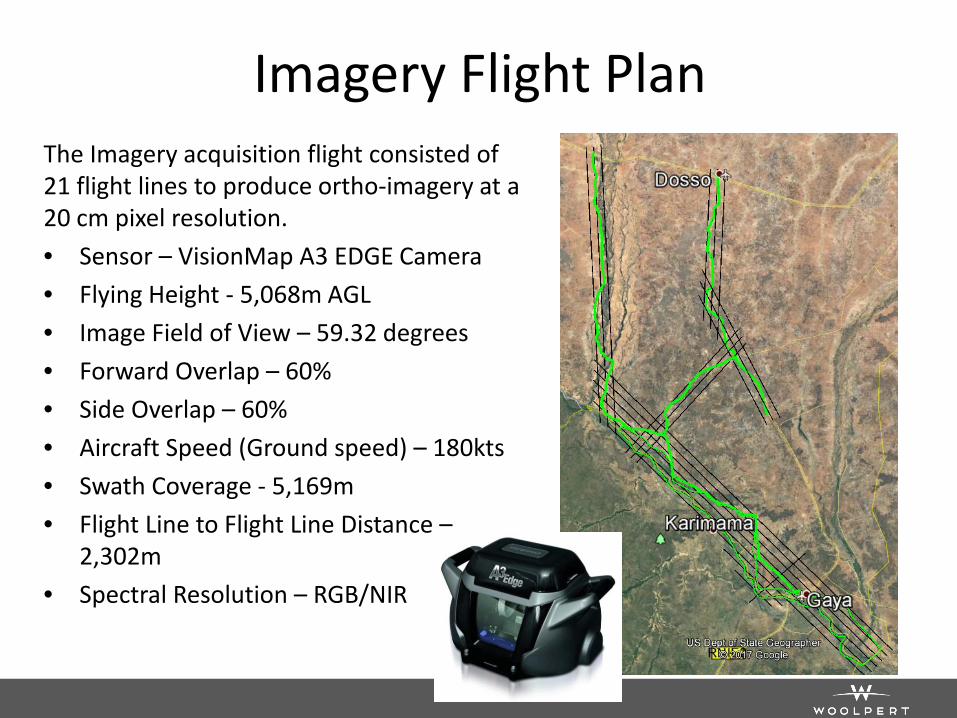
Imagery Flight Plan The Imagery acquisition flight consisted of 21 flight lines to produce ortho-imagery at a 20 cm pixel resolution. • Sensor – VisionMap A3 EDGE Camera • Flying Height - 5,068m AGL • Image Field of View – 59.32 degrees • Forward Overlap – 60% • Side Overlap – 60% • Aircraft Speed (Ground speed) – 180kts • Swath Coverage - 5,169m • Flight Line to Flight Line Distance –
2,302m • Spectral Resolution – RGB/NIR
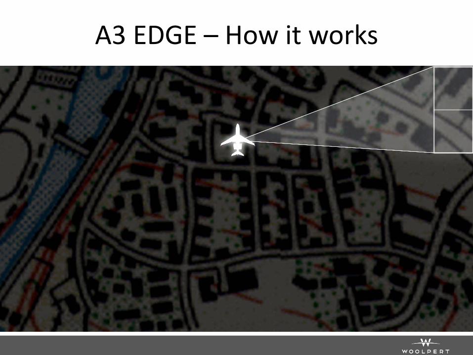
A3 EDGE – How it works
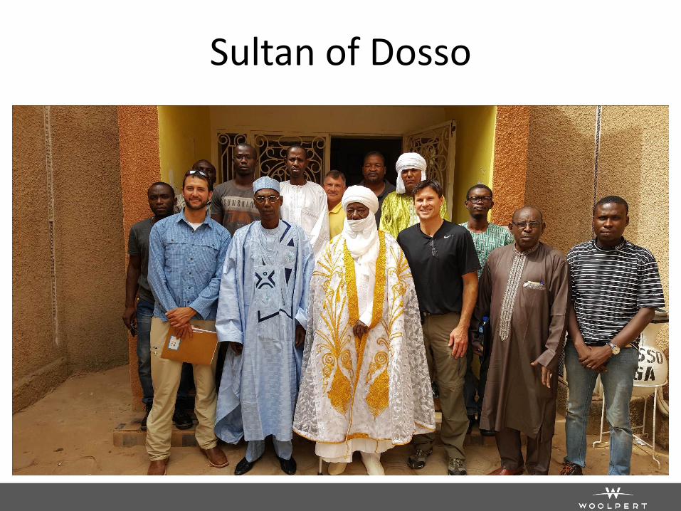
Sultan of Dosso
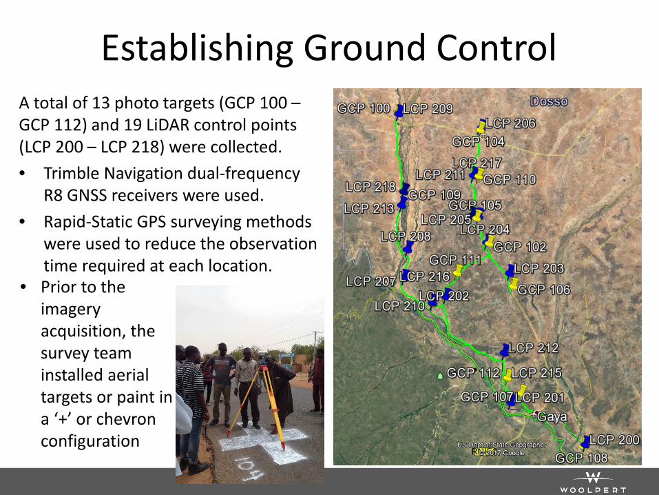
Establishing Ground Control A total of 13 photo targets (GCP 100 – GCP 112) and 19 LiDAR control points (LCP 200 – LCP 218) were collected. • Trimble Navigation dual-frequency
R8 GNSS receivers were used. • Rapid-Static GPS surveying methods
were used to reduce the observation time required at each location.
• Prior to the imagery acquisition, the survey team installed aerial targets or paint in a ‘+’ or chevron configuration
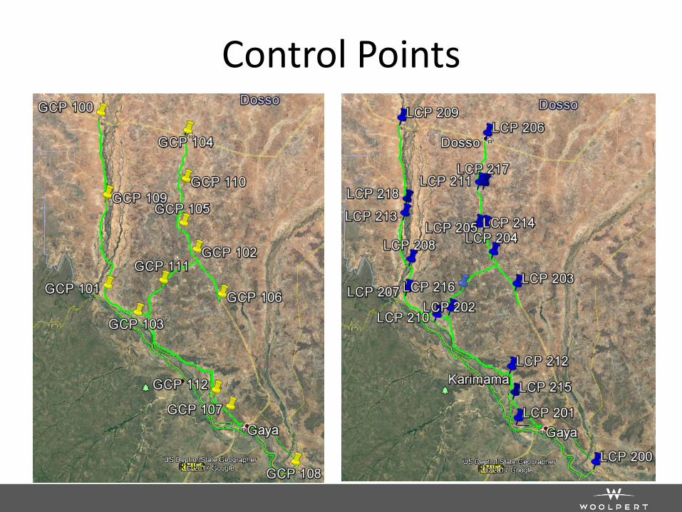
Control Points
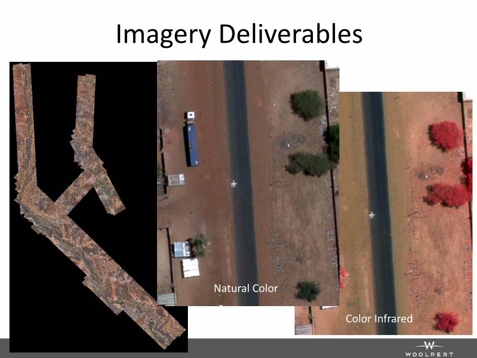
Imagery Deliverables
Natural Color
Color Infrared
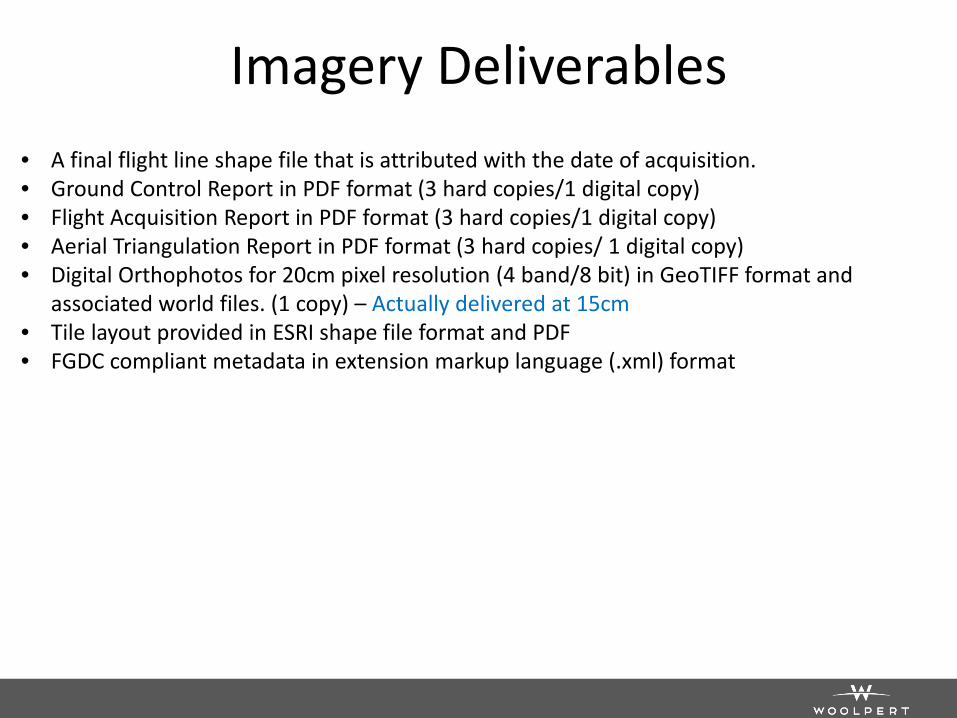
Imagery Deliverables • A final flight line shape file that is attributed with the date of acquisition. • Ground Control Report in PDF format (3 hard copies/1 digital copy) • Flight Acquisition Report in PDF format (3 hard copies/1 digital copy) • Aerial Triangulation Report in PDF format (3 hard copies/ 1 digital copy) • Digital Orthophotos for 20cm pixel resolution (4 band/8 bit) in GeoTIFF format and
associated world files. (1 copy) – Actually delivered at 15cm • Tile layout provided in ESRI shape file format and PDF • FGDC compliant metadata in extension markup language (.xml) format
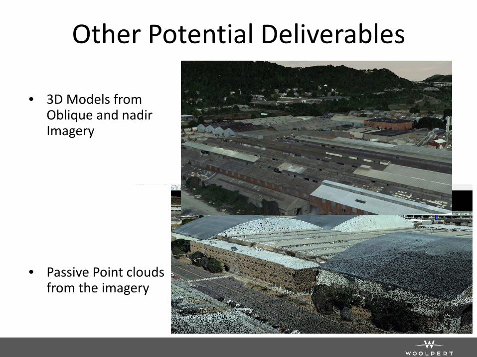
Other Potential Deliverables
• 3D Models from Oblique and nadir Imagery
• Passive Point clouds from the imagery
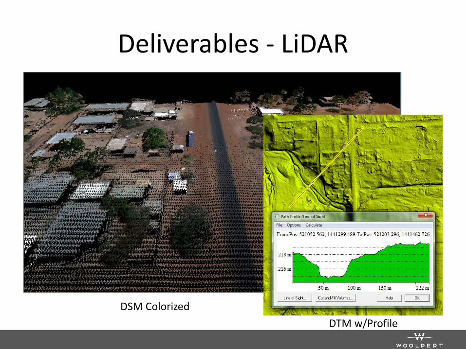
Deliverables - LiDAR
DSM Colorized DTM w/Profile
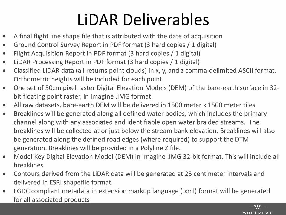
LiDAR Deliverables • A final flight line shape file that is attributed with the date of acquisition • Ground Control Survey Report in PDF format (3 hard copies / 1 digital) • Flight Acquisition Report in PDF format (3 hard copies / 1 digital) • LiDAR Processing Report in PDF format (3 hard copies / 1 digital) • Classified LiDAR data (all returns point clouds) in x, y, and z comma-delimited ASCII format.
Orthometric heights will be included for each point • One set of 50cm pixel raster Digital Elevation Models (DEM) of the bare-earth surface in 32-
bit floating point raster, in Imagine .IMG format • All raw datasets, bare-earth DEM will be delivered in 1500 meter x 1500 meter tiles • Breaklines will be generated along all defined water bodies, which includes the primary
channel along with any associated and identifiable open water braided streams. The breaklines will be collected at or just below the stream bank elevation. Breaklines will also be generated along the defined road edges (where required) to support the DTM generation. Breaklines will be provided in a Polyline Z file.
• Model Key Digital Elevation Model (DEM) in Imagine .IMG 32-bit format. This will include all breaklines
• Contours derived from the LiDAR data will be generated at 25 centimeter intervals and delivered in ESRI shapefile format.
• FGDC compliant metadata in extension markup language (.xml) format will be generated for all associated products
Summary • Quick turn around project
– Mobilization to Niger within 7 days of contract execution – First data products delivered within 30 days – Final data products delivered on time within 40 days from contract
award
• Mobilization from the USA to Niger – Although challenging - can be done and quickly
• Logistics of survey in Africa was a leaning process for us • LiDAR and Imagery products were collected, processed and
delivered on-time, first time right • Additional products and information can be derived from the
imagery data collected because of the technology used • Woolpert would like to continue providing imagery,
elevation, geospatial solutions, and more within Africa