Embed Size (px)
Citation preview
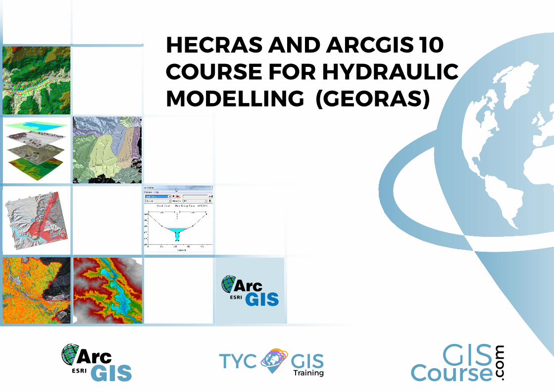
HECRAS AND ARCGIS 10 COURSE FOR HYDRAULIC MODELLING (GEORAS)
CourseGIS
.co
m
TrainingTYC GIS
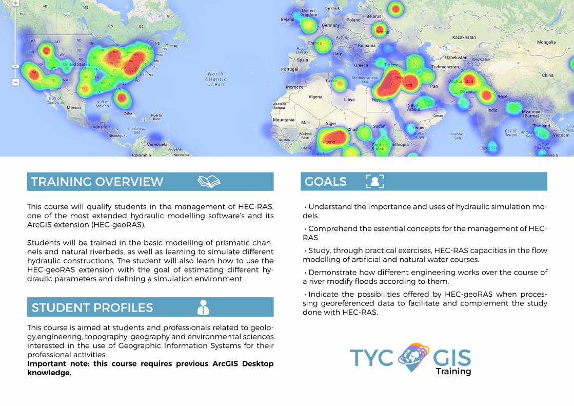
This course will qualify students in the management of HEC-RAS, one of the most extended hydraulic modelling software’s and its ArcGIS extension (HEC-geoRAS).
Students will be trained in the basic modelling of prismatic chan-nels and natural riverbeds, as well as learning to simulate different hydraulic constructions. The student will also learn how to use the HEC-geoRAS extension with the goal of estimating different hy-draulic parameters and defining a simulation environment.
• Understand the importance and uses of hydraulic simulation mo-dels.
• Comprehend the essential concepts for the management of HEC-RAS.
• Study, through practical exercises, HEC-RAS capacities in the flow modelling of artificial and natural water courses.
• Demonstrate how different engineering works over the course of a river modify floods according to them.
• Indicate the possibilities offered by HEC-geoRAS when proces-sing georeferenced data to facilitate and complement the study done with HEC-RAS.
TRAINING OVERVIEW GOALS
STUDENT PROFILESThis course is aimed at students and professionals related to geolo-gy,engineering, topography, geography and environmental sciencesinterested in the use of Geographic Information Systems for their professional activities.Important note: this course requires previous ArcGIS Desktop knowledge. Training
TYC GIS
Martín Núñez Pérez
Civil engineer with specialization in Hydraulics and Energy, several years of experience in drafting hy-draulic works, technical consulting in hydrology and design of hydraulic works and management of geographic information systems.
He has participated in many projects of hydraulic and hydroelectric infrastructures of national and in-ternational scope, as much in hydrological planning as in design and dimensioning of hydraulic infras-tructure.In the professional field, has specialized in the management of va-rious types of hydraulic and hydrological modeling software as well as for the sizing of hydraulic works.
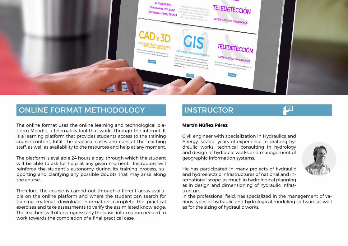
The online format uses the online learning and technological pla-tform Moodle, a telematics tool that works through the internet. It is a learning platform that provides students access to the training course content, fulfill the practical cases and consult the teaching staff, as well as availability to the resources and help at any moment.
The platform is available 24 hours a day, through which the student will be able to ask for help at any given moment. Instructors will reinforce the student´s autonomy during its training process, su-pporting and clarifying any possible doubts that may arise along the course.
Therefore, the course is carried out through different areas availa-ble on the online platform and where the student can search for training material, download information, complete the practical exercises and take assessments to verify the assimilated knowledge. The teachers will offer progressively the basic information needed to work towards the completion of a final practical case.
INSTRUCTORONLINE FORMAT METHODOLOGY
1- BASIC CONCEPTS OF HYDRAULIC MODE-LLING
Introduction
Open channel movement of a fluid.
Concepts of Energy Height and Head losses.
Manning formula for channels
Variable, permanent, varied and Uniform flow regime
Control sections and Boundary conditions
Guided exercise to understand the concepts of Unit 1.
2 - FIRST STEPS. INTRODUCTION TO HEC-RAS
Introduction
HEC-RAS mathemtical and phisical principles
Advantages and disadvantages of the pro-gram.
Software installation.
3 - BUILDING A BASIC HYDRAULIC MODEL IN HEC-RAS
Introduction
Initial interface
Creating a new project
Definition of geometry
Defining the flow and boundary conditions
Simulation
Viewing the results
Location of geometry and flow files in windows
Checking calculations
Guided exercise to understand the concepts of Unit 3.
4 - ADVANCED GEOMETRY
Introduction
Cross sections editing tools from the options menu.
Manning coefficients definition
Definition of structures in cross sections
Using quick data tables
Cross Section Interpolation
Section inversion.
mporting geometries
Guided exercise to understand the concepts of Unit 4.
5 - DIGITAL ELEVATION MODELS AND ARCGIS
Introduction to ArcGIS
Using ArcGIS to create a Digital Elevations Model.
ArcGIS Hydrologic tools
Summary of processes
Guided exercise to understand the concepts of Unit 5.
6 - CREATING AND IMPORTING GEOMETRIES USING GeoRAS
Introduction
Downloading and activating the GeoRAS ex-tension in ArcGIS
Generation of a geometry
Exporting geometries to HEC-RAS
Guided exercise to understand the concepts of Unit 6.
7 - MODELLING HYDRAULIC WORKS
Introduction
Theoretical bases
Bridges and culverts
Inline structures, weir and gates.
Lateral structures
Multiple reaches and junctions in channels and rivers.
Guided exercise to understand the concepts of Unit 7.
8 - ADVANCED DEFINITION OF THE FLOW RE-GIME
Introduction
Previous theoretical concepts
Editing flows and profiles in steady flow regi-me
Boundary conditions
Plans and hypothesis
Simulation
Guided exercise to understand the concepts of Unit 8.
9 - VIEWING RESULTS
Introduction
Output tables
Profiles and cross sections diagrams
Graphics
Three dimensional channel views
Guided exercise to understand the concepts of Unit 9.
10 - WARNING AND ERRORS
Introduction
Identifying errors
Identifying alarms and notifications
Conclusions
TRAINING PROGRAM
(+34) 910 325 482
Calle Fuencarral 158, Entreplanta, Oficina 16-17
28010 Madrid
TYC GIS MÉXICOTequesquitengo 4, Fracc. Cuaunáhuac
C.P. 62450, Cuernavaca, Morelos.
TYC GIS MÁLAGAAvda. Pintor Joaquin Sorolla 137, 1º D
29017 MÁLAGA
TYC GIS PANAMÁ Calle Eusebio A. Morales
El Cangrejo PH Neo Plaza Oficina 2015
CourseGIS
.co
m
TrainingTYC GIS