Embed Size (px)
Citation preview
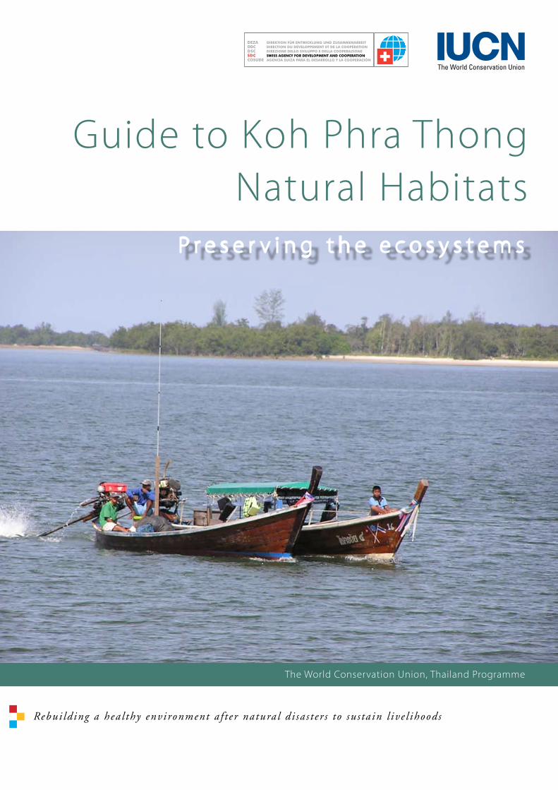
Guide to Koh Phra ThongNatural Habitats
The World Conservation Union, Thailand Programme
P r e s e r v i n g t h e e c o s y s t e m s
Rebui lding a hea l thy environment a f t e r natura l d i sa s t e r s to su s ta in l ive l ihoods
�
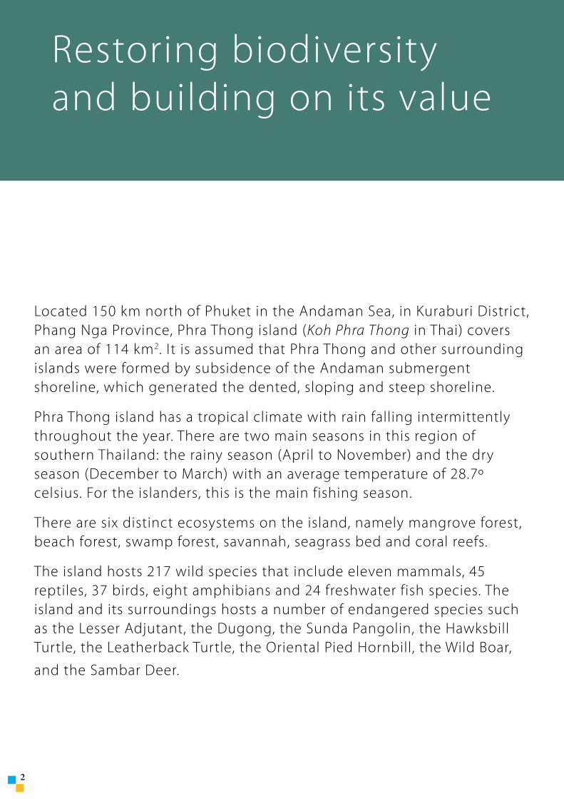
Located 150 km north of Phuket in the Andaman Sea, in Kuraburi District, Phang Nga Province, Phra Thong island (Koh Phra Thong in Thai) covers an area of 114 km2. It is assumed that Phra Thong and other surrounding islands were formed by subsidence of the Andaman submergent shoreline, which generated the dented, sloping and steep shoreline.
Phra Thong island has a tropical climate with rain falling intermittently throughout the year. There are two main seasons in this region of southern Thailand: the rainy season (April to November) and the dry season (December to March) with an average temperature of 28.7º celsius. For the islanders, this is the main fishing season.
There are six distinct ecosystems on the island, namely mangrove forest, beach forest, swamp forest, savannah, seagrass bed and coral reefs.
The island hosts 217 wild species that include eleven mammals, 45 reptiles, 37 birds, eight amphibians and 24 freshwater fish species. The island and its surroundings hosts a number of endangered species such as the Lesser Adjutant, the Dugong, the Sunda Pangolin, the Hawksbill Turtle, the Leatherback Turtle, the Oriental Pied Hornbill, the Wild Boar,
and the Sambar Deer.
Restoring biodiversityand building on its value
Contents
This brochure is available in Thai and English languages, alongside a poster describing the specific habitats of the island, and is meant for representatives of the various groups living on Phra Thong island—heads of villages, chief administrator of the sub-district administration, teachers, women’s groups, non-government organizations, media, as well as officials from agencies of the Royal Thai Government. The World Conservation Union gratefully acknowledges the support received from the Swiss Agency for Development and Cooperation, Division of Humanitarian Aid.
Ecosystems and livelihoods approach 4
A future for Phra Thong biodiversity 5
A role for all 5
Phra Thong ecosystems before and after the tsunami 6
Effective recovery approaches for natural resources 7
Benefits and importance of Phra Thong ecosystems 7
Preserving key natural habitats 8
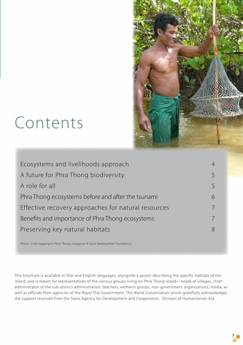
Photo: Crab trapping in Phra Thong mangrove © Seub Nakhasathien Foundation
�
�
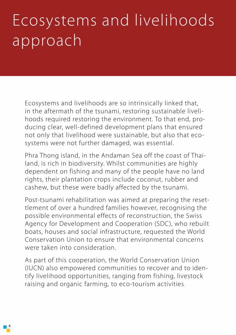
Ecosystems and livelihoods are so intrinsically linked that, in the aftermath of the tsunami, restoring sustainable liveli-hoods required restoring the environment. To that end, pro-ducing clear, well-defined development plans that ensured not only that livelihood were sustainable, but also that eco-systems were not further damaged, was essential.
Phra Thong island, in the Andaman Sea off the coast of Thai-land, is rich in biodiversity. Whilst communities are highly dependent on fishing and many of the people have no land rights, their plantation crops include coconut, rubber and cashew, but these were badly affected by the tsunami.
Post-tsunami rehabilitation was aimed at preparing the reset-tlement of over a hundred families however, recognising the possible environmental effects of reconstruction, the Swiss Agency for Development and Cooperation (SDC), who rebuilt boats, houses and social infrastructure, requested the World Conservation Union to ensure that environmental concerns were taken into consideration.
As part of this cooperation, the World Conservation Union (IUCN) also empowered communities to recover and to iden-tify livelihood opportunities, ranging from fishing, livestock raising and organic farming, to eco-tourism activities.
Ecosystems and livelihoodsapproach
�
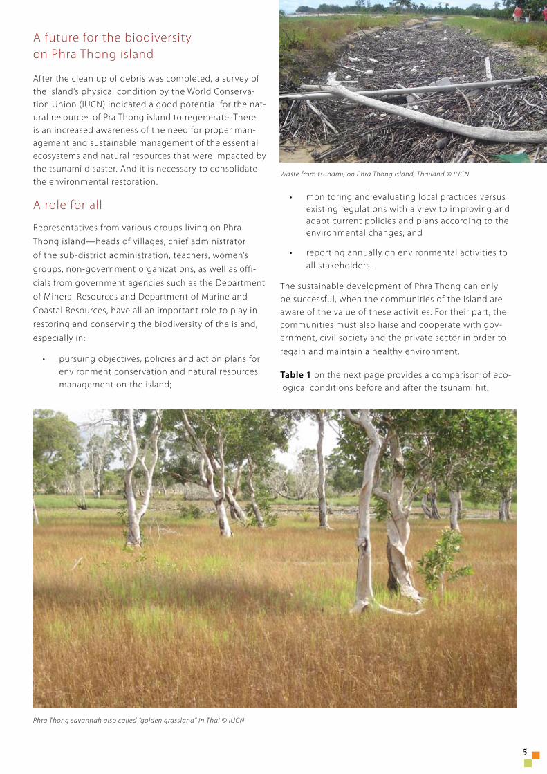
Waste from tsunami, on Phra Thong island, Thailand © IUCN
A future for the biodiversity on Phra Thong island
After the clean up of debris was completed, a survey of the island’s physical condition by the World Conserva-tion Union (IUCN) indicated a good potential for the nat-ural resources of Pra Thong island to regenerate. There is an increased awareness of the need for proper man-agement and sustainable management of the essential ecosystems and natural resources that were impacted by the tsunami disaster. And it is necessary to consolidate the environmental restoration.
A role for all
Representatives from various groups living on Phra
Thong island—heads of villages, chief administrator
of the sub-district administration, teachers, women’s
groups, non-government organizations, as well as offi-
cials from government agencies such as the Department
of Mineral Resources and Department of Marine and
Coastal Resources, have all an important role to play in
restoring and conserving the biodiversity of the island,
especially in:
pursuing objectives, policies and action plans for environment conservation and natural resources management on the island;
•
monitoring and evaluating local practices versus existing regulations with a view to improving and adapt current policies and plans according to the environmental changes; and
reporting annually on environmental activities to all stakeholders.
The sustainable development of Phra Thong can only be successful, when the communities of the island are aware of the value of these activities. For their part, the communities must also liaise and cooperate with gov-ernment, civil society and the private sector in order to
regain and maintain a healthy environment.
Table 1 on the next page provides a comparison of eco-logical conditions before and after the tsunami hit.
•
•
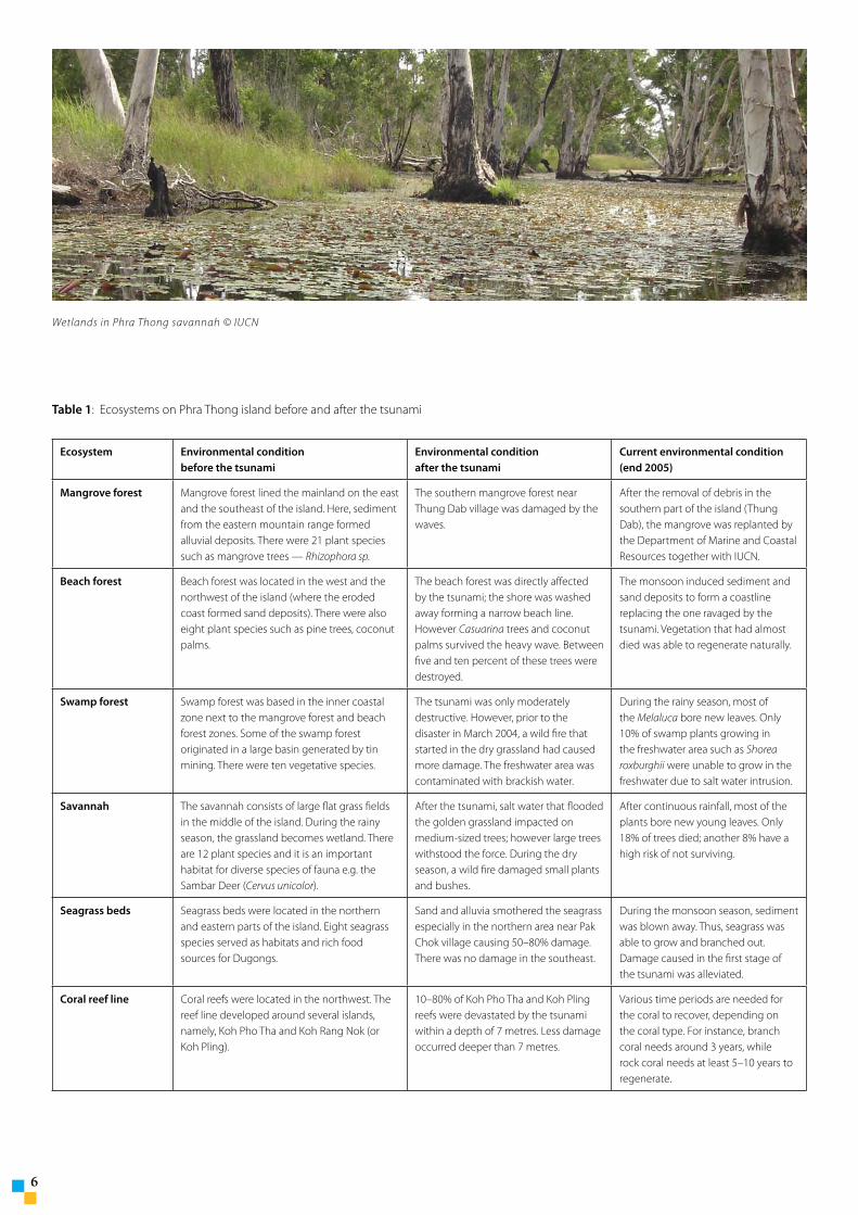
Phra Thong savannah also called “golden grassland” in Thai © IUCN
�
Wetlands in Phra Thong savannah © IUCN
Ecosystem Environmental condition before the tsunami
Environmental condition after the tsunami
Current environmental condition (end 2005)
Mangrove forest Mangrove forest lined the mainland on the east and the southeast of the island. Here, sediment from the eastern mountain range formed alluvial deposits. There were 21 plant species such as mangrove trees — Rhizophora sp.
The southern mangrove forest near Thung Dab village was damaged by the waves.
After the removal of debris in the southern part of the island (Thung Dab), the mangrove was replanted by the Department of Marine and Coastal Resources together with IUCN.
Beach forest Beach forest was located in the west and the northwest of the island (where the eroded coast formed sand deposits). There were also eight plant species such as pine trees, coconut palms.
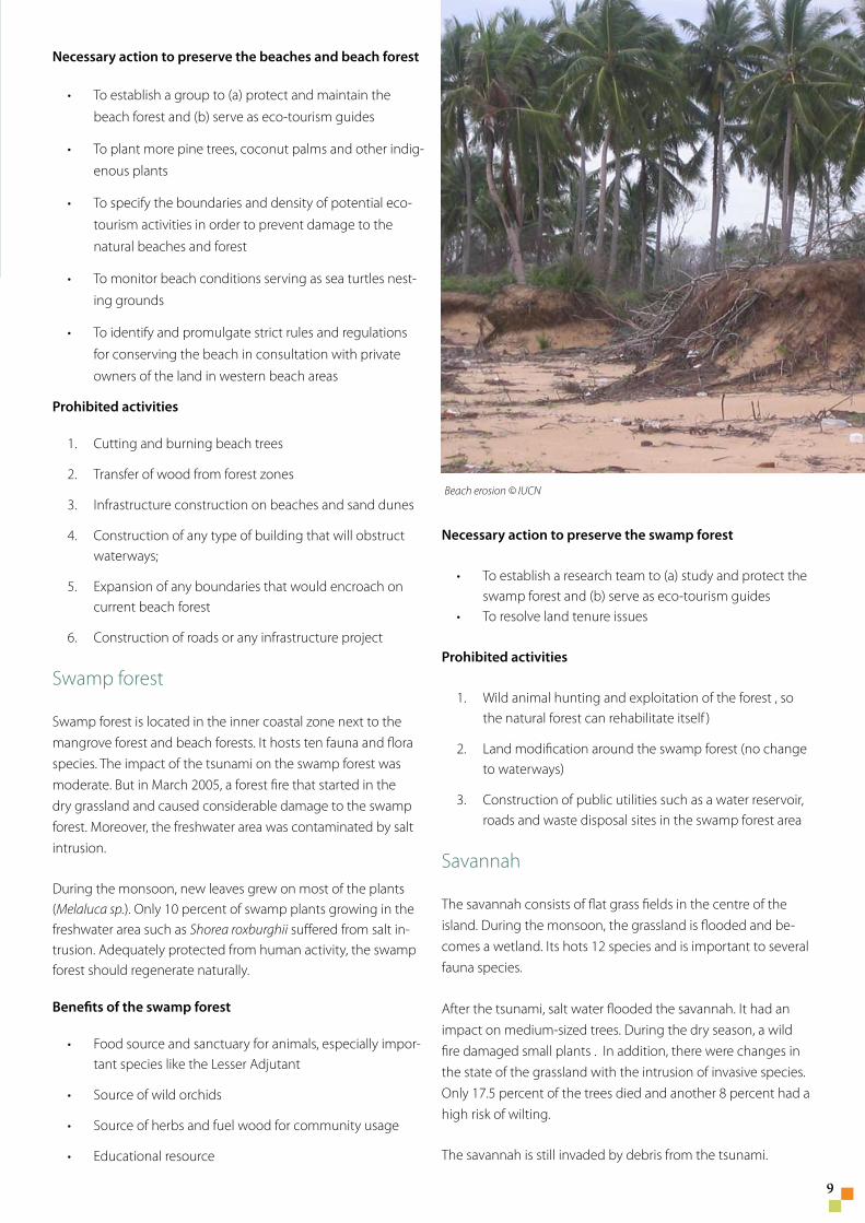
The beach forest was directly affected by the tsunami; the shore was washed away forming a narrow beach line. However Casuarina trees and coconut palms survived the heavy wave. Between five and ten percent of these trees were destroyed.
The monsoon induced sediment and sand deposits to form a coastline replacing the one ravaged by the tsunami. Vegetation that had almost died was able to regenerate naturally.
Swamp forest Swamp forest was based in the inner coastal zone next to the mangrove forest and beach forest zones. Some of the swamp forest originated in a large basin generated by tin mining. There were ten vegetative species.
The tsunami was only moderately destructive. However, prior to the disaster in March 2004, a wild fire that started in the dry grassland had caused more damage. The freshwater area was contaminated with brackish water.
During the rainy season, most of the Melaluca bore new leaves. Only 10% of swamp plants growing in the freshwater area such as Shorea roxburghii were unable to grow in the freshwater due to salt water intrusion.
Savannah The savannah consists of large flat grass fields in the middle of the island. During the rainy season, the grassland becomes wetland. There are 12 plant species and it is an important habitat for diverse species of fauna e.g. the Sambar Deer (Cervus unicolor).
After the tsunami, salt water that flooded the golden grassland impacted on medium-sized trees; however large trees withstood the force. During the dry season, a wild fire damaged small plants and bushes.
After continuous rainfall, most of the plants bore new young leaves. Only 18% of trees died; another 8% have a high risk of not surviving.
Seagrass beds Seagrass beds were located in the northern and eastern parts of the island. Eight seagrass species served as habitats and rich food sources for Dugongs.
Sand and alluvia smothered the seagrass especially in the northern area near Pak Chok village causing 50–80% damage. There was no damage in the southeast.
During the monsoon season, sediment was blown away. Thus, seagrass was able to grow and branched out. Damage caused in the first stage of the tsunami was alleviated.
Coral reef line Coral reefs were located in the northwest. The reef line developed around several islands, namely, Koh Pho Tha and Koh Rang Nok (or Koh Pling).
10–80% of Koh Pho Tha and Koh Pling reefs were devastated by the tsunami within a depth of 7 metres. Less damage occurred deeper than 7 metres.
Various time periods are needed for the coral to recover, depending on the coral type. For instance, branch coral needs around 3 years, while rock coral needs at least 5–10 years to regenerate.
Table 1: Ecosystems on Phra Thong island before and after the tsunami
�
Effective recovery approaches for natural resources on Phra Thong island
Phra Thong island has many different ecosystems that benefit humans directly and indirectly (Table 2 below). Although some of the ecosystems may not currently ap-pear to be important, in the near future their value will become apparent.
The tsunami impacted on the environment and ecosys-tems in different ways. The most devastated area was the coral reef line, while the beach forest, the mangrove forest, the golden grassland, the swamp forest, and sea-grass beds suffered less damage.
Suggestions for remedial action are given below.
Coral reefs: collect remaining debris and return the coral to its former natural condition. Stop fishery and tourism activities in Koh Pling and Koh Pho Tha areas.
Beach forest: collect remaining debris and solid waste from beach areas as well as plant Casuarina and coco-nut trees with strong root systems, whilst protecting the beach forest from human activity to allow natural regeneration.
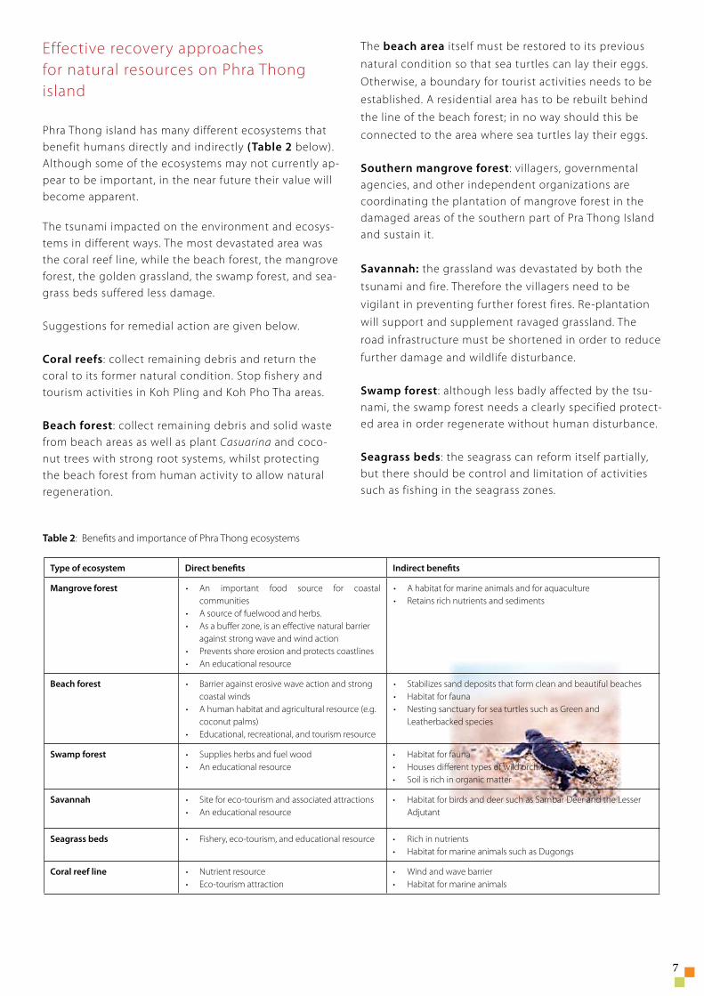
The beach area itself must be restored to its previous
natural condition so that sea turtles can lay their eggs.
Otherwise, a boundary for tourist activities needs to be
established. A residential area has to be rebuilt behind
the line of the beach forest; in no way should this be
connected to the area where sea turtles lay their eggs.
Southern mangrove forest: villagers, governmental agencies, and other independent organizations are coordinating the plantation of mangrove forest in the damaged areas of the southern part of Pra Thong Island and sustain it.
Savannah: the grassland was devastated by both the
tsunami and fire. Therefore the villagers need to be
vigilant in preventing further forest fires. Re-plantation
will support and supplement ravaged grassland. The
road infrastructure must be shortened in order to reduce
further damage and wildlife disturbance.
Swamp forest: although less badly affected by the tsu-nami, the swamp forest needs a clearly specified protect-ed area in order regenerate without human disturbance.
Seagrass beds: the seagrass can reform itself partially, but there should be control and limitation of activities such as fishing in the seagrass zones.
Table 2: Benefits and importance of Phra Thong ecosystems
Type of ecosystem Direct benefits Indirect benefits
Mangrove forest • An important food source for coastal communities
• A source of fuelwood and herbs.• As a buffer zone, is an effective natural barrier
against strong wave and wind action• Prevents shore erosion and protects coastlines• An educational resource
• A habitat for marine animals and for aquaculture• Retains rich nutrients and sediments
Beach forest • Barrier against erosive wave action and strong coastal winds
• A human habitat and agricultural resource (e.g. coconut palms)
• Educational, recreational, and tourism resource
• Stabilizes sand deposits that form clean and beautiful beaches• Habitat for fauna• Nesting sanctuary for sea turtles such as Green and
Leatherbacked species
Swamp forest • Supplies herbs and fuel wood• An educational resource
• Habitat for fauna• Houses different types of wild orchids• Soil is rich in organic matter
Savannah • Site for eco-tourism and associated attractions• An educational resource
• Habitat for birds and deer such as Sambar Deer and the Lesser Adjutant
Seagrass beds • Fishery, eco-tourism, and educational resource • Rich in nutrients• Habitat for marine animals such as Dugongs
Coral reef line • Nutrient resource• Eco-tourism attraction
• Wind and wave barrier• Habitat for marine animals
Preserving Phra Thongecosystems
�
Mangrove forest
Mangrove forest grows in the east, the south, and southeast parts of Phra Thong island. The eastern mangrove forest, con-nected with the mainland, receives alluvial sediments from the western mountain range and forms a delta here. It hosts 21 plant species, mostly mangrove trees. Most of the mangrove forests are secondary forests, where the dominant species are Rhizophora, Avecennia, Sonnerafia., Phoenix paludosa, Ceriops, and Xylocarpus obovatus sp..
The mangrove forest on the southern side of the island suffered damage from the tsunami waves, especially in Thung Dab area. This mangrove forest was cleaned up. A re-plantation project started to rehabilitate it.
Benefits of the mangrove forest
Important source of food and a habitat for coastal spe-cies
Source of nutrients for marine animals
Source of fuelwood, herbs, and food for human com-munities
Barrier to protect coastlines from the violence of strong waves and winds
Factor in controlling the amount of nutrients to be circu-lated in the marine cycle system
Excellent educational resource
Necessary action to preserve the mangrove forest
To establish a group to (a) protect and maintain the mangrove forest and (b) serve as eco-tourism guides
To encourage Thung Dap community to improve its capacity in managing the mangrove forest
To identify the type, size, and quantity of plants needed for mangrove rehabilitation
To establish a coordination among government and non-government organizations in order to consistently
•
•
•
•
•
•
•
•
•
•
restore and maintain the southern mangrove forest of the island
To declare eco-tourism routes along Klong Nop (Nop Canal) at Koh Chad and along Klong Hang Soong (Hang Soong Canal)
To encourage research and data collection on the mangrove forest with the cooperation of the local com-munity
To clearly delineate mangrove forest to protect
Prohibited activities
Dam construction or construction activities that obstruct waterways
Expansion of any boundaries that would encroach on current mangrove forest
Construction of roads or any infrastructure project
Beaches and beach forest
Beaches and beach forest are located in the west and northwest of the island. They were formed by the eroding coast and sand deposit from the waves and the wind. There host eight fauna and flora species, including pine trees and coconut palms.
The beach forest was directly affected by the tsunami—the sand was washed away, diminishing the coastline. However, pine trees and coconut trees were able to survive; only 5 to 10 percent of the vegetation was destroyed. In 2005, the monsoon has brought back sediments and sand to form a new coastline. Plants have started to recover.
Benefits of the beach forest
Important breeding ground for many marine species, especially sea turtles
Barrier against erosive waves and strong coastal winds
Educational, recreation, and tourism resource
Source of fuel wood and other products for local com-munities
•
•
•
1.
2.
•
•
•
•
�
Necessary action to preserve the beaches and beach forest
To establish a group to (a) protect and maintain the
beach forest and (b) serve as eco-tourism guides
To plant more pine trees, coconut palms and other indig-
enous plants
To specify the boundaries and density of potential eco-
tourism activities in order to prevent damage to the
natural beaches and forest
To monitor beach conditions serving as sea turtles nest-
ing grounds
To identify and promulgate strict rules and regulations
for conserving the beach in consultation with private
owners of the land in western beach areas
Prohibited activities
Cutting and burning beach trees
Transfer of wood from forest zones
Infrastructure construction on beaches and sand dunes
Construction of any type of building that will obstruct waterways;
Expansion of any boundaries that would encroach on current beach forest
Construction of roads or any infrastructure project
Swamp forest
Swamp forest is located in the inner coastal zone next to the mangrove forest and beach forests. It hosts ten fauna and flora species. The impact of the tsunami on the swamp forest was moderate. But in March 2005, a forest fire that started in the dry grassland and caused considerable damage to the swamp forest. Moreover, the freshwater area was contaminated by salt intrusion.
During the monsoon, new leaves grew on most of the plants (Melaluca sp.). Only 10 percent of swamp plants growing in the freshwater area such as Shorea roxburghii suffered from salt in-trusion. Adequately protected from human activity, the swamp forest should regenerate naturally.
Benefits of the swamp forest
Food source and sanctuary for animals, especially impor-tant species like the Lesser Adjutant
Source of wild orchids
Source of herbs and fuel wood for community usage
Educational resource
•
•
•
•
•
1.
2.
3.
4.
5.
6.
•
•
•
•
Necessary action to preserve the swamp forest
To establish a research team to (a) study and protect the swamp forest and (b) serve as eco-tourism guidesTo resolve land tenure issues
Prohibited activities
Wild animal hunting and exploitation of the forest , so the natural forest can rehabilitate itself )
Land modification around the swamp forest (no change to waterways)
Construction of public utilities such as a water reservoir, roads and waste disposal sites in the swamp forest area
Savannah
The savannah consists of flat grass fields in the centre of the island. During the monsoon, the grassland is flooded and be-comes a wetland. Its hots 12 species and is important to several fauna species.
After the tsunami, salt water flooded the savannah. It had an impact on medium-sized trees. During the dry season, a wild fire damaged small plants . In addition, there were changes in the state of the grassland with the intrusion of invasive species. Only 17.5 percent of the trees died and another 8 percent had a high risk of wilting.
The savannah is still invaded by debris from the tsunami.
•
•
1.
2.
3.
Beach erosion © IUCN
10
Benefits of the savannah
Food source and habitat for animals
Important breeding ground for birds
Source of wild orchids and herbs
Resource for education and ecotourism
Unique land type on the island
Necessary action to preserve the savannah
To resolve encroachment of the grassland area (currently more than 80 percent of the savannah is occupied)
To clearly delineate the grassland protected area
To be vigilant woth wild fire;
To facilitate the involvement of the community and all concerned public agencies in plans and policies for eco-tourism
To plant more indigenous trees
To clearly identify the shortest routes across the grass-land
To support research and development on savannah ecosystem
Prohibited activity
Encroachment on the savannah
•
•
•
•
•
•
•
•
•
•
•
•
Seagrass
Seagrass beds are found around the northern and the eastern parts of the island. Eight seagrass species are habitats and food sources for Dugongs.
Sand and alluvia generated by the tsunami smothered the seagrass especially in the northern area near Pak Chok village causing damage to 50 to 80 percent of seagrass beds. During the monsoon, seagrass beds were able to regenerate.
Benefits of seagrass
Food source and habitat for animals, especially Dugongs
Educational resource
Necessary action to preserve seagrass
An approach to conserve the seagrass resources is to encourage the community of Tha Pae Yoi to maintain seagrass areas. There are existing rules to conserve seagrass zones, for instance the fishing industry is already prohibited from seagrass zones.
Prohibited activity
Controlling the fishing ban in the seagrass zone, especially in the northern part of Pra Thong island.
Coral reefs
The coral reefs are located in the northwest area of Phra Thong. The reef line developed around several islands, namely, Koh Pho Tha and Koh Rang Nok (or Koh Pling). The damage to reefs by the tsunami had varied: 10 to 80 percent of the reef lines were affected around Koh Pho Tha and Koh Pling within a depth of 7 metres. Less damage occurred deeper than 7 metres.
Time needed for the coral to recover is uneven depending on the type of coral. For instance, coral branches would need around 3 years to regenerate, while rock coral would need at least 5 to 10 years .
Benefits of coral reefs
Food source and habitat for marine species
Barriers that protect coastlines and beaches
Resources for tourism
Educational resources
Protecting coral reefs involves collecting and transferring debris from the area and bringing the coral back to its natural condi-tion. Likewise, exploitation of the reefs by tourism or fishery industries should be prohibited around Koh Pling and Koh Pho Tae areas.
•
•
•
•
•
•
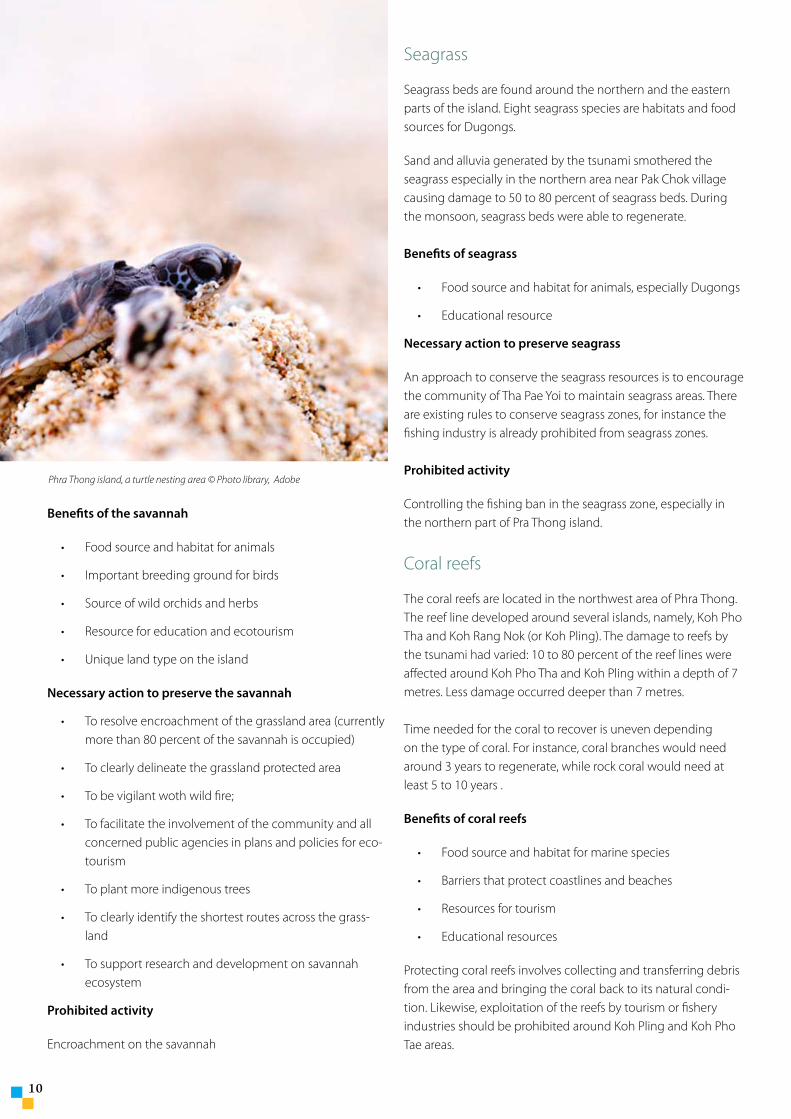
Phra Thong island, a turtle nesting area © Photo library, Adobe
* Thai members of the World Conservation Union are the Royal Thai Government through its Department of National Parks, Plants and Wildlife Protection (DNP), the Regional Community Forestry Training Center for Asia and the Pacific (RECOFTC), the Wildlife Fund Thailand ( WFT ), the Thailand Environment Institute ( TEI), the Seub Nakhasathien Founda-tion (SNF) and the Good Governance for Social Development and the Environment Institute Foundation.
11
The World Conservation Union in Thailand
The World Conservation Union (IUCN) has six members* in Thailand and operates its Asia Regional Office in Bangkok, as well as the Thailand Programme. The Royal Thai Government is a member of the Union since 1962.
Asia is the largest regional programme of the World Conservation Union with some 500 staff. The Secretariat of the Union runs seven Country Offices and two regional Ecosystems and Livelihoods groups based in Colombo and Bangkok.
In the region, IUCN has total 157 members, government and non-government agencies, in 19 of the 23 countries from South to East Asia and National Committees in Pakistan, India, Nepal, Sri Lanka, Bangladesh, Japan and South Korea.
1�
Guidelines compiled by: Dr. Supichai Tangjaitrong
Editors: Janaka Da Silva
Denise Jeanmonod
Robin Leslie
Design: Denise Jeanmonod
Photography of the cover:
Phra Thong island, Thailand © IUCN
Printed by: Clung Wicha Press Co., Ltd., Bangkok,
Thailand
© 2006 International Union for
Conservation of Nature and Natural
Resources
Opinions expressed in this brochure do
not necessarily reflect the official views of
IUCN or its members.
The World Conservation Union (IUCN) Thailand Programme
63, Sukhumvit Soi 39
Wattana, 10110 Bangkok
Thailand
Phone: +662 662 4049 (ext. 151)
Fax: +662 662 4388
E-mail: [email protected]
http://iucn.org/places/asia/
This brochure is printed on Garda Pat 13
paper that is certified pH neutral,
long-life, elemental chlorine free guarantee,
heavy metal absence and produced
from well managed forest