Embed Size (px)
Citation preview
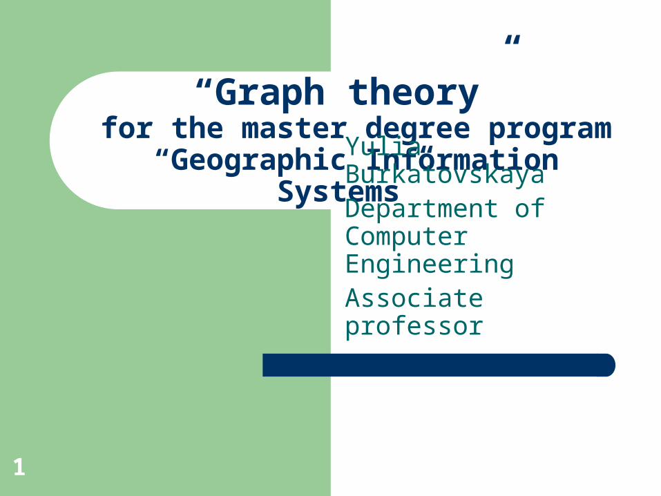
“Graph theory” for the master degree program
“Geographic Information Systems”
Yulia BurkatovskayaDepartment of Computer EngineeringAssociate professor
1
Main topics
What graph theory is? How is it applied in geographic information
systems? What problems are considered in the
course? What are the planning results of education?
2
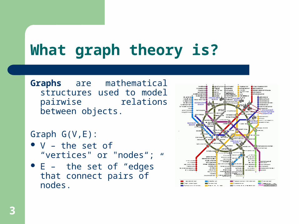
What graph theory is?
Graphs are mathematical structures used to model pairwise relations between objects.
Graph G(V,E): V – the set of “vertices" or
"nodes“; E – the set of “edges” that
connect pairs of nodes.
3
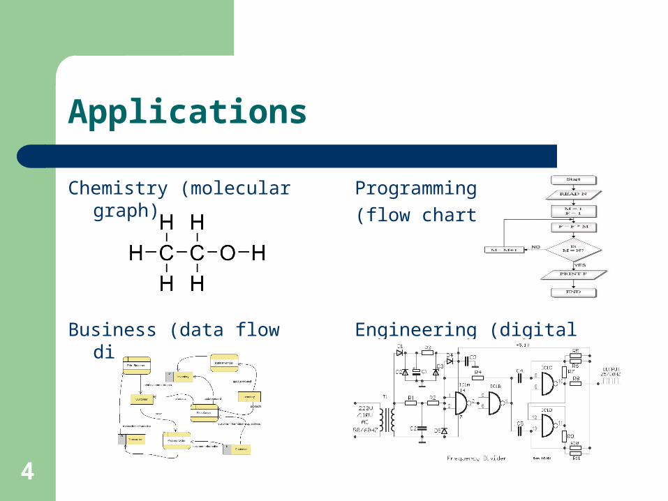
Applications
Chemistry (molecular graph) Programming
(flow chart)
Business (data flow diagram) Engineering (digital circuit)
4
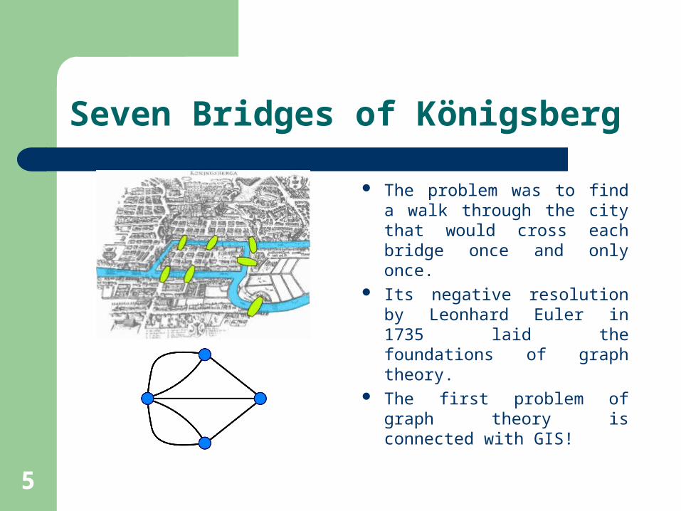
Seven Bridges of Königsberg
The problem was to find a walk through the city that would cross each bridge once and only once.
Its negative resolution by Leonhard Euler in 1735 laid the foundations of graph theory.
The first problem of graph theory is connected with GIS!
5

Graphs in GIS
Transportation networksTransportation involves the movement of people and the shipment
of goods from one location to another.
River networksA hydrologic network usually models a river as a connected set of
stream reaches and their confluences.
Utility networksUtility networks are the built environment that supplies energy,
water, and communications and removes effluent and storm water.
6
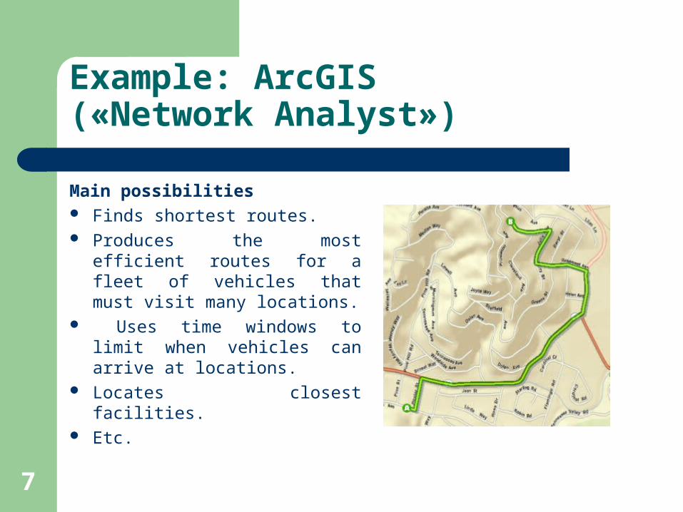
Example: ArcGIS(«Network Analyst»)
Main possibilities Finds shortest routes. Produces the most efficient
routes for a fleet of vehicles that must visit many locations.
Uses time windows to limit when vehicles can arrive at locations.
Locates closest facilities. Etc.
7
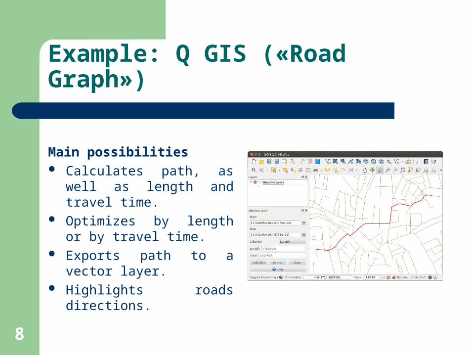
Example: Q GIS («Road Graph»)
Main possibilities Calculates path, as well as
length and travel time. Optimizes by length or by
travel time. Exports path to a vector
layer. Highlights roads directions.
8
Problems
p-centre and p-median Maximum flow and minimum-cost flow Matching Chinese postman and traveling salesman
9
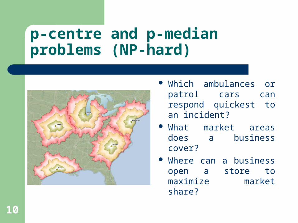
p-centre and p-median problems (NP-hard)
Which ambulances or patrol cars can respond quickest to an incident?
What market areas does a business cover?
Where can a business open a store to maximize market share?
10
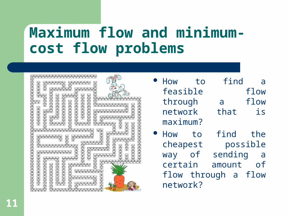
Maximum flow and minimum-cost flow problems
How to find a feasible flow through a flow network that is maximum?
How to find the cheapest possible way of sending a certain amount of flow through a flow network?
11
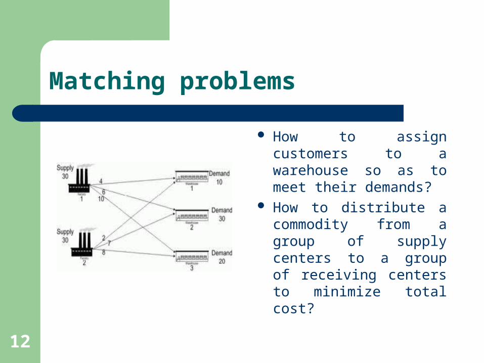
Matching problems
How to assign customers to a warehouse so as to meet their demands?
How to distribute a commodity from a group of supply centers to a group of receiving centers to minimize total cost?
12
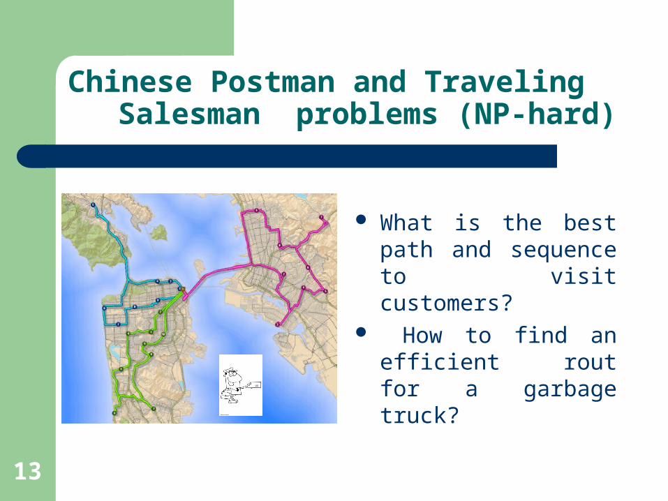
Chinese Postman and Traveling Salesman problems (NP-hard)
What is the best path and sequence to visit customers?
How to find an efficient rout for a garbage truck?
13
Results of education
Notion of graph theory applications in GIS Knowledge of graph theory problems and
basic algorithms Skills in algorithm developing and estimation
of their quality for NP-hard problems Skills in reading of technical literature in
English
14

Thank you!
Happy to answer your questions.
15