Embed Size (px)
Citation preview
Grade 7 Social Studies Geography Unit: Scale
Checklist
Scale Worksheets – complete note and exercises Scale Assignment 1 (Nystrom Atlas) Scale Assignment 2 (Nystrom Atlas)
Scale Test

Scale
A scale is a statement of the _____________between distances on a map and distances in _______________.
A drawing that is made according to scale will be an _______________ of the real object, but will be smaller or larger than the real object.
Scale drawings are often used in real life because they are very accurate, including in _________, _______________, and architectural models.
Section A: Three Types of Scale
There are three different ways to write scale.
1. Scale ex. 1 cm = 8 km
A stated scale says exactly how much distance is represented by 1 cm, in this case, 8 km.It is the most useful scale for ________________________.
2. Scale
A linear scale is usually present on most maps. It tells us how much __________________ represents a certain real distance.
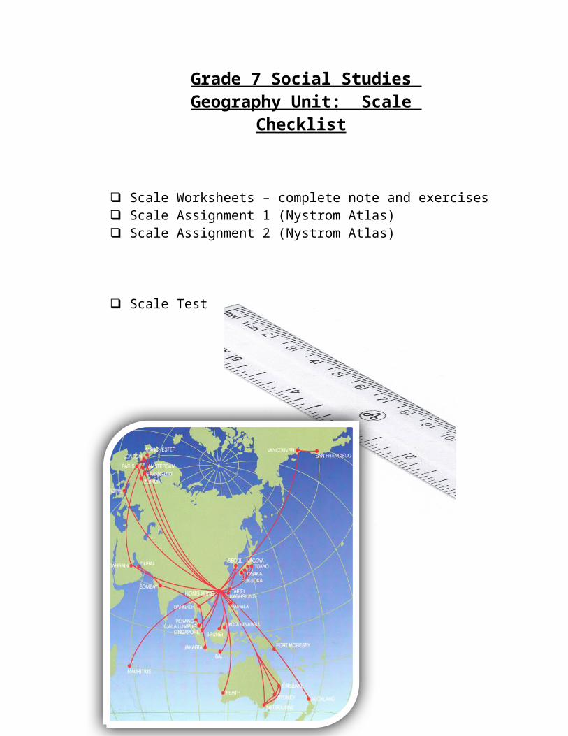
For example, the scale shows the map distance that equals 10 kilometers in __________________.
3. Scale ex. 1 : 25 000 000 A ratio scale will almost always be found on maps. It is very ________________.
In this example we can see that 1 unit on the map represents 25 000 000 units in real life. So, 1 cm = 25 000 000 cm and 1 m = 25 000 000 m, etc.
Distances such as 25 000 000 cm are very difficult to imagine. So, we usually change a ratio scale into a stated scale. In this example, we would use the ___________________________ to help us change the ratio scale of 1:25 000 000 into a stated scale of 1 cm = 250 km.
1 cm = 8 km
Section B: Review
The metric system is based on powers of 10. To change from centimetres into kilometres you just need to divide by 10 the correct number of times. Or, you just need to move the ___________________ the correct number of spaces to the left.
Quick Method of Units
To change cm into km, move your decimal five places to the left.ex. 550 000 cm = 5.5 km
Practice 1 . Make the following conversions using the shortcut method.
a) 27 000 cm = km c) 7 500 cm = kmb) 330 000 cm = km d) 2 426 000 cm = km
Section C: Changing from Scale to Scale
It is easiest to calculate distance using a Stated Scale, but most maps don’t include Stated Scales. So, to change Ratio Scale into Stated Scale, do the following.
1. Write the Ratio Scale. 1:550 000
2. Change it to a Stated Scale. 1 cm = 550 000 cm
3. Change the Stated Scale Units from cm into km, by moving your decimal ______________ to the left.
1 cm = 5.5 km
Practice 2. Find the ratio scale of the map in the Nystrom Atlas and change it to a stated scale. Ex. p1081 : 17 400 0001 cm = 17 400 000 cm1 cm = 174 km
a) p40 b) p49 c) p64 d) p96

Section D: Solving scale questions using .
Now that you know how to change a ratio scale into a stated scale, you can calculate the real distance between two places shown on a map. To do so though, you need to know how to cross-multiply.
Practice 3. Solve these questions using cross-multiplication.
a)
15=4x b)
140
=12x c)
1350
=25x d)
14500
=300x
Section E: to Calculate Real Distance
Now, you are ready to calculate the real distances between places shown on a map by following these five simple steps.
Step A. Find the ____________________.Step B. _____________ the ratio scale into a stated scale.Step C. _______________ the ____________________ in cm.Step D. Use cross-multiplication to solve this _________: scale (cm) = map distance (cm)
scale (km) real distance (km)Step E. Write a _________________ (a therefore statement). Include the _________________.
Example: Page 100-101 (Political Relief Map of Northern Africa).
Example: Find the distance from Dakar to Algiers. Step A 1:24 500 000Step B 1 cm = 245 km Step C m.d. = 13.8 cm Step D scale (cm) = map distance (cm)
scale (km) real distance (km) 1 cm = 13.8 cm 245 km x 1(x) = (13.8)(245) x = 3381 km
Step E Dakar, Senegal is 3381 km from Algiers, Algeria.

Scale Assignments
Instructions: Use all of these steps to calculate real distances:Step A. Find the ratio scale.Step B. Change the ratio scale into a stated scale.Step C. Measure the map distance in cm.Step D. Solve the following equation: scale (cm) = map distance (cm)
scale (km) real distance (km)Step E. Write a therefore statement. Include the country names.
Example: Find the distance from Dakar to Algiers. Step A 1:24 500 000Step B 1 cm = 245 km Step C m.d. = 13.8 cm Step D scale (cm) = map distance (cm)
scale (km) real distance (km) 1 cm = 13.8 cm 245 km x 1(x) = (13.8)(245) x = 3381 km
Step E Dakar, Senegal is 3381 km from Algiers, Algeria.
Scale Assignment 1
Calculate the following distances between capital cities using the map of Brazil and its neighbours (p95). Complete all work on the answer sheets that are provided.
1. Bogota to Asuncion 2. Asuncion to Montevideo 3. Montevideo to Brasilia4. Brasilia to Paramaribo
Scale Assignment 2
Calculate the following distances between capital cities using the map of Southern Asia (p132). Complete all work on the answer sheets that are provided.
1. Dushanbe to Islamabad 2. Islamabad to Dhaka3. Dhaka to Kathmandu 4. Kathmandu to New Delhi
/20
/20

Scale Assignment # Answers
Question #1Step AStep BStep CStep D
Step E
Question #2Step AStep BStep CStep D
Step E
Question #3Step AStep BStep CStep D
Step E
Question #4Step AStep BStep CStep D
Name:Block:Date:
/20

Step E
Scale Assignment # Answers
Question #1Step AStep BStep CStep D
Step E
Question #2Step AStep BStep CStep D
Step E
Question #3Step AStep BStep CStep D
Step E
Question #4Step AStep BStep CStep D
Name:Block:Date:
/20

Step E