Embed Size (px)
Citation preview
Moving GIS to the Cloud:What it Involves & Lessons Learned from a
Municipal Electric Utility
Heather Cabral, GISPGIS Manager
North Attleborough Electric DepartmentNorth Attleborough, MA
ESRI User ConferenceJune 30, 2016
Presentation Overview
• About NAED
• Overview of NAED’s GIS Through the Years
• Why we moved to the Cloud
• The Journey
• Existing Cloud Infrastructure
• Lessons Learned

About NAED• Located in Southeastern Massachusetts
• Municipal Electric Departmento Operates independently from Town Hallo Separate Capital Improvement Plan/Budget o Governing Board of Electric Commissioners
• 13,500 +/‐ customers
• 35 employees
• Owned by the residents/customers
• 75% Overhead Lines/ 25% Underground Lines
• 4x Platinum Reliable Public Power Award (RP3) Recipient
NAED GIS Through the Years…
• Partnered with the Town on Multiple Flyovers (2001, 2005, 2008, 2013)
• GIS Asset Management Database was created in 2001 by a third party field survey
• Data was not being updated consistently• Virtualized ArcGIS Server/SQL Server implementation since 2008
• Mobile Field Inspections using Laptops/ArcPad (2008‐2010)
• System Planning was led by Project Manager/Operations
• GIS Consulting Services for Implementation Assistance
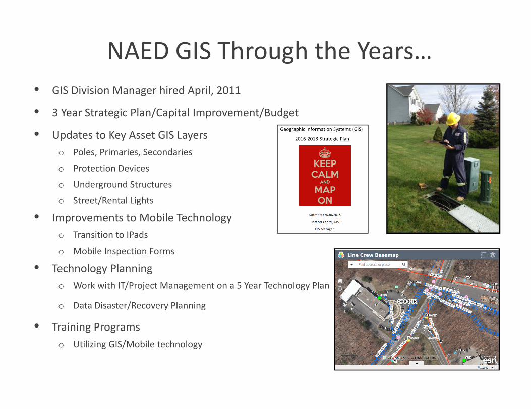
NAED GIS Through the Years…• GIS Division Manager hired April, 2011
• 3 Year Strategic Plan/Capital Improvement/Budget
• Updates to Key Asset GIS Layerso Poles, Primaries, Secondaries
o Protection Devices
o Underground Structures
o Street/Rental Lights
• Improvements to Mobile Technologyo Transition to IPads
o Mobile Inspection Forms
• Technology Planningo Work with IT/Project Management on a 5 Year Technology Plan
o Data Disaster/Recovery Planning
• Training Programso Utilizing GIS/Mobile technology
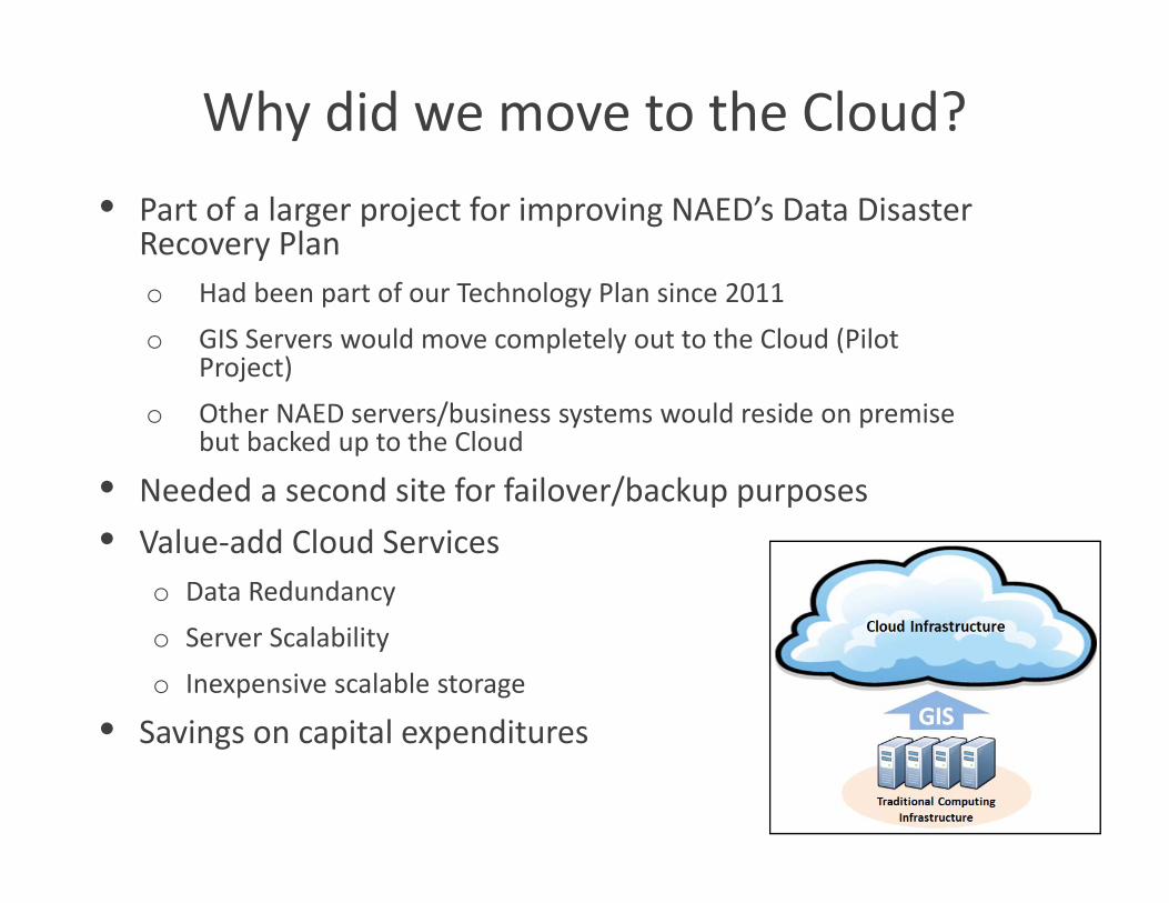
Why did we move to the Cloud?• Part of a larger project for improving NAED’s Data Disaster
Recovery Plano Had been part of our Technology Plan since 2011o GIS Servers would move completely out to the Cloud (Pilot
Project)o Other NAED servers/business systems would reside on premise
but backed up to the Cloud
• Needed a second site for failover/backup purposes• Value‐add Cloud Services
o Data Redundancyo Server Scalabilityo Inexpensive scalable storage
• Savings on capital expenditures
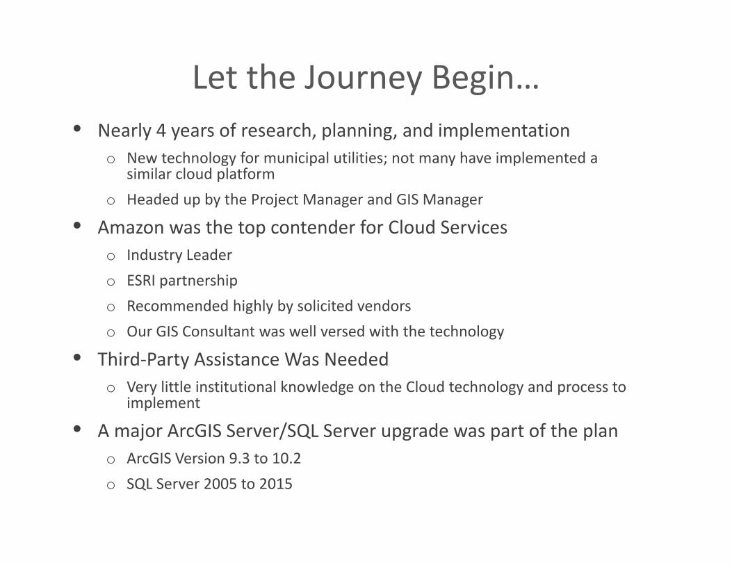
Let the Journey Begin…• Nearly 4 years of research, planning, and implementation
o New technology for municipal utilities; not many have implemented a similar cloud platform
o Headed up by the Project Manager and GIS Manager
• Amazon was the top contender for Cloud Serviceso Industry Leadero ESRI partnershipo Recommended highly by solicited vendorso Our GIS Consultant was well versed with the technology
• Third‐Party Assistance Was Neededo Very little institutional knowledge on the Cloud technology and process to
implement
• A major ArcGIS Server/SQL Server upgrade was part of the plano ArcGIS Version 9.3 to 10.2 o SQL Server 2005 to 2015
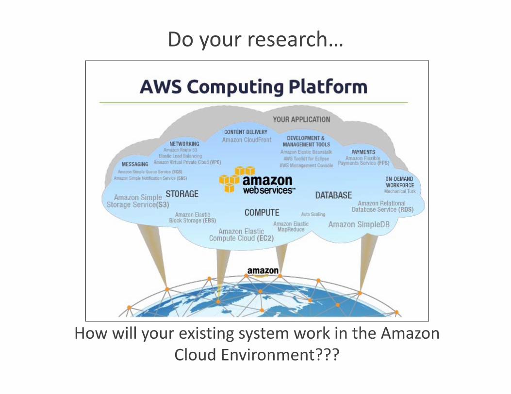
Do your research…
How will your existing system work in the Amazon Cloud Environment???
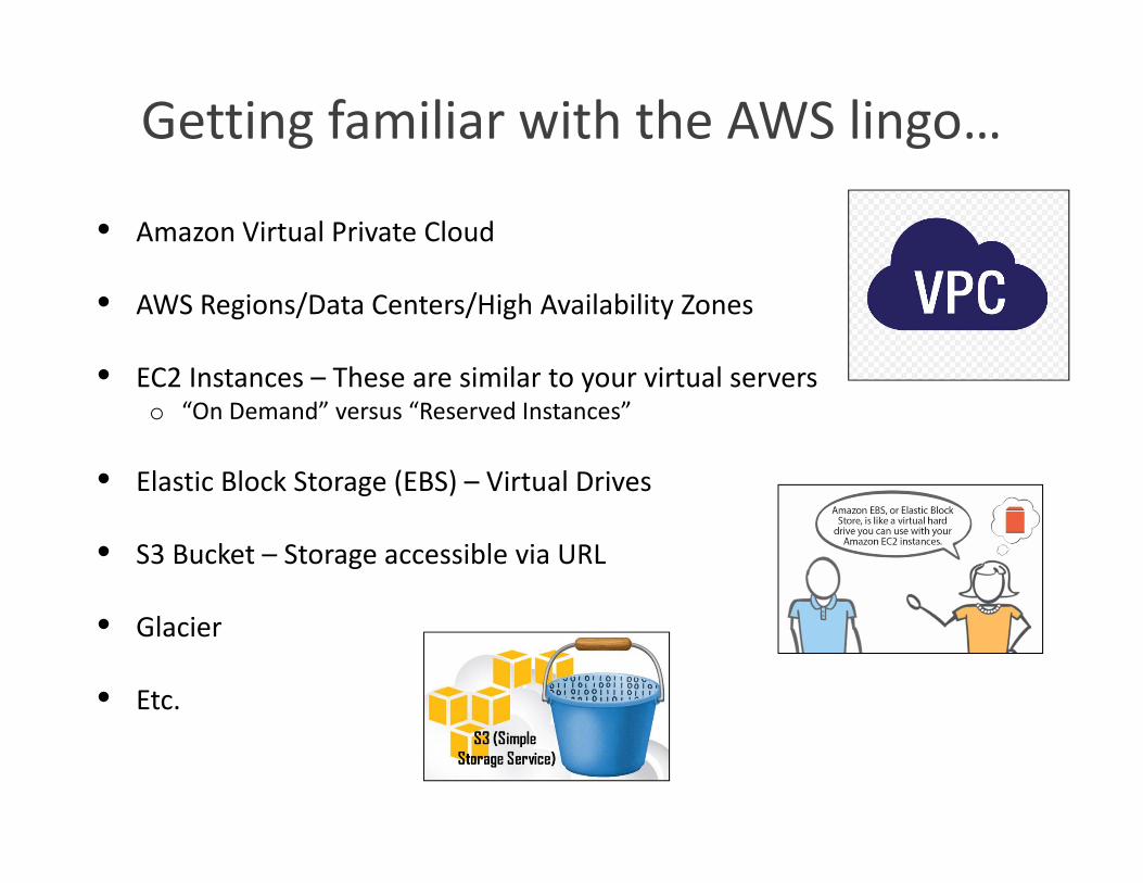
Getting familiar with the AWS lingo…
• Amazon Virtual Private Cloud
• AWS Regions/Data Centers/High Availability Zones
• EC2 Instances – These are similar to your virtual serverso “On Demand” versus “Reserved Instances”
• Elastic Block Storage (EBS) – Virtual Drives
• S3 Bucket – Storage accessible via URL
• Glacier
• Etc.
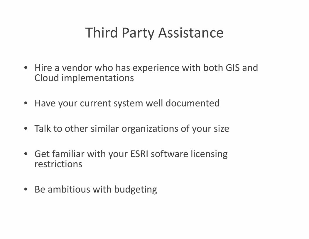
Third Party Assistance
• Hire a vendor who has experience with both GIS and Cloud implementations
• Have your current system well documented
• Talk to other similar organizations of your size
• Get familiar with your ESRI software licensing restrictions
• Be ambitious with budgeting
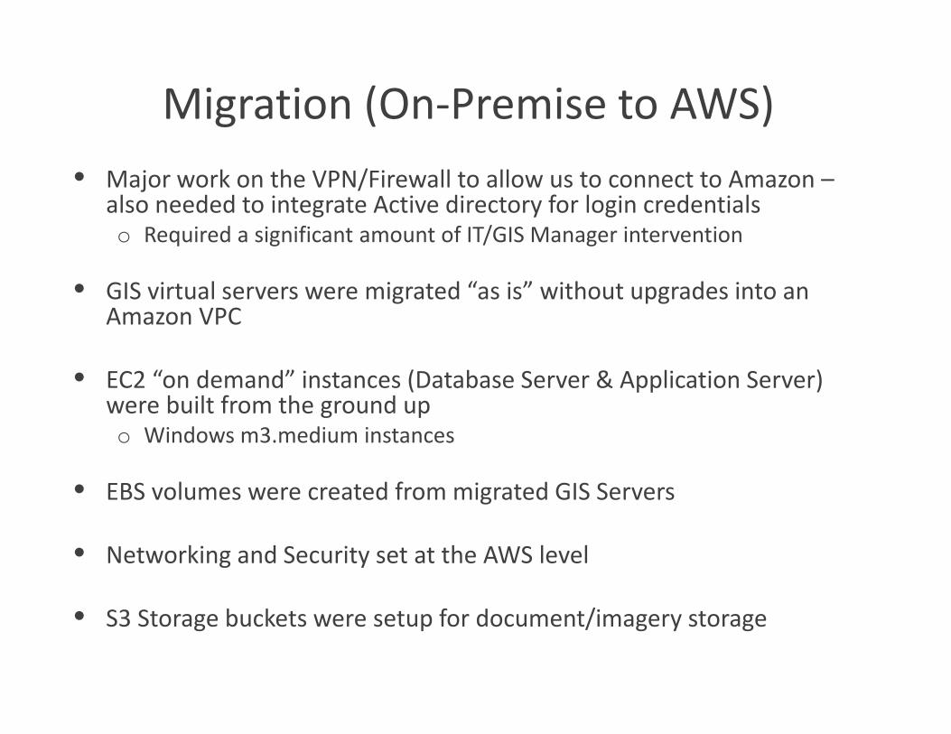
Migration (On‐Premise to AWS)• Major work on the VPN/Firewall to allow us to connect to Amazon –
also needed to integrate Active directory for login credentials o Required a significant amount of IT/GIS Manager intervention
• GIS virtual servers were migrated “as is” without upgrades into an Amazon VPC
• EC2 “on demand” instances (Database Server & Application Server) were built from the ground up o Windows m3.medium instances
• EBS volumes were created from migrated GIS Servers
• Networking and Security set at the AWS level
• S3 Storage buckets were setup for document/imagery storage
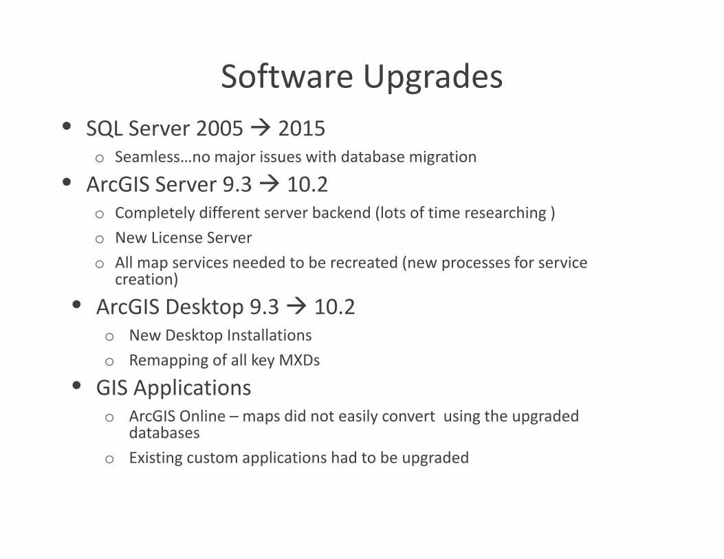
Software Upgrades • SQL Server 2005 2015
o Seamless…no major issues with database migration
• ArcGIS Server 9.3 10.2o Completely different server backend (lots of time researching )o New License Servero All map services needed to be recreated (new processes for service
creation)
• ArcGIS Desktop 9.3 10.2o New Desktop Installationso Remapping of all key MXDs
• GIS Applicationso ArcGIS Online – maps did not easily convert using the upgraded
databaseso Existing custom applications had to be upgraded
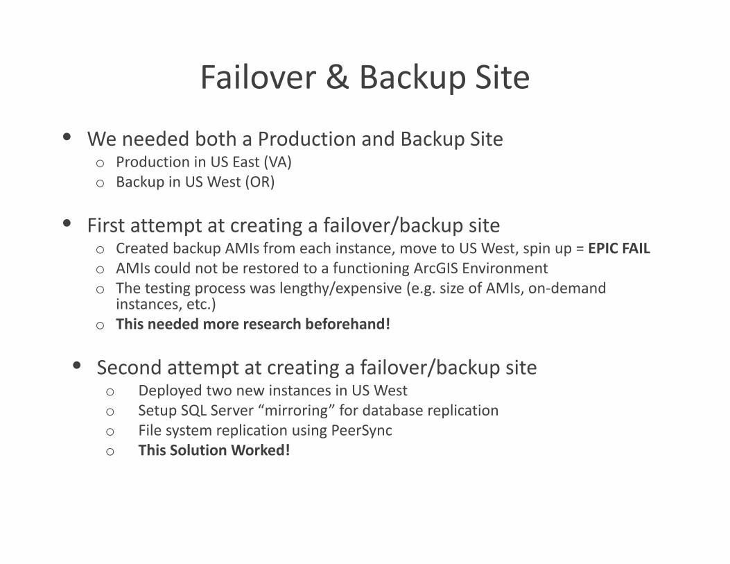
Failover & Backup Site • We needed both a Production and Backup Site
o Production in US East (VA)o Backup in US West (OR)
• First attempt at creating a failover/backup site o Created backup AMIs from each instance, move to US West, spin up = EPIC FAILo AMIs could not be restored to a functioning ArcGIS Environmento The testing process was lengthy/expensive (e.g. size of AMIs, on‐demand
instances, etc.)o This needed more research beforehand!
• Second attempt at creating a failover/backup site o Deployed two new instances in US West o Setup SQL Server “mirroring” for database replicationo File system replication using PeerSynco This Solution Worked!
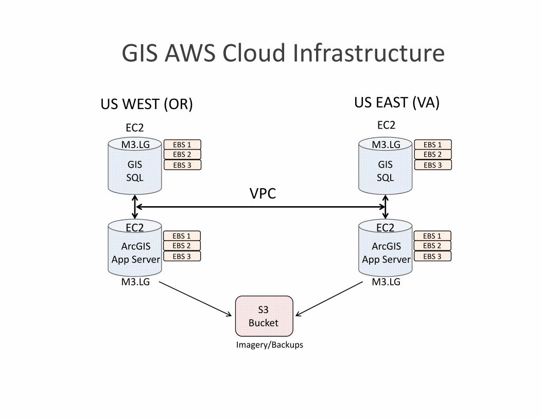
GIS AWS Cloud Infrastructure
GIS SQL
EBS 1EBS 2EBS 3
ArcGIS App Server
EC2
EC2
US EAST (VA)
M3.LG
M3.LG
EBS 1EBS 2EBS 3
US WEST (OR)
GIS SQL
EBS 1EBS 2EBS 3
ArcGIS App Server
EC2
M3.LG
M3.LG
EBS 1EBS 2EBS 3
EC2
S3 Bucket
Imagery/Backups
VPC
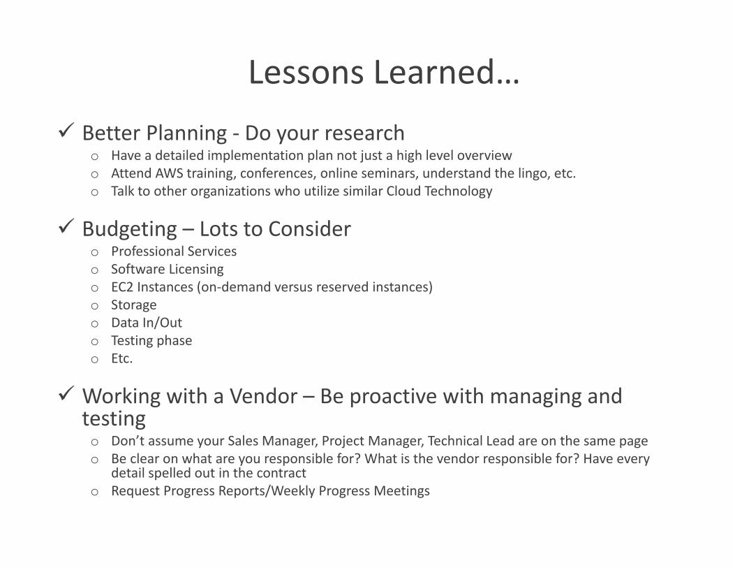
Lessons Learned… Better Planning ‐ Do your research
o Have a detailed implementation plan not just a high level overviewo Attend AWS training, conferences, online seminars, understand the lingo, etc.o Talk to other organizations who utilize similar Cloud Technology
Budgeting – Lots to Considero Professional Serviceso Software Licensingo EC2 Instances (on‐demand versus reserved instances)o Storageo Data In/Outo Testing phaseo Etc.
Working with a Vendor – Be proactive with managing and testing
o Don’t assume your Sales Manager, Project Manager, Technical Lead are on the same page o Be clear on what are you responsible for? What is the vendor responsible for? Have every
detail spelled out in the contracto Request Progress Reports/Weekly Progress Meetings

Lessons Learned… Setting up the AWS Environment – It takes time!
o Configuring your VPN/VPCo Networking/Windows Authentication o Active Directory
Migration – Its not plug and play!o How will your on premise system be mimicked in AWS?o ESRI AMIs or build from the ground up? What will work best for the organization?o Software Licenses (use existing or bundle with each instance)
Testing – Take your time!o Allow at least 2‐3 months for testingo Test every component of your systemo How is the response time? Do you need more bandwidth?o Do the instances need to be scaled up based on performance?
Additional GIS/IT Management Responsibilities – Yes More…!o Managing the environment – we went from 2 to 4 serverso SQL Database Mirroring – Is it working?o File System Replication – Is it working?o System Documentation and Failover testing (quarterly)o Etc.
Thank you!!
Heather Cabral, GISPGIS Manager
North Attleborough Electric DepartmentNorth Attleborough, MA


![IEEE TRANSACTIONS ON MULTIMEDIA, ACCEPTED 1 Core Failure ...€¦ · (ii) a StarCluster [43] of AWS EC2 spot instances that are terminated and migrated to AWS EC2 on-demand instances](https://img.pdfslide.us/doc/110x75/601153509343cc5bd016ffbd/ieee-transactions-on-multimedia-accepted-1-core-failure-ii-a-starcluster.jpg)


![An Empirical Analysis of Amazon EC2 Spot Instance Features ...Spot instance features, resource procurement 1. INTRODUCTION Amazon EC2 has been offering spot instances [5] since 2009](https://img.pdfslide.us/doc/110x75/5f086ae87e708231d421e8fc/an-empirical-analysis-of-amazon-ec2-spot-instance-features-spot-instance-features.jpg)