Embed Size (px)
Citation preview

GIS Day 2007 - UWMMaking the Case for GIS Coordination
in Wisconsin
David Mockert
November 14, 2007David Mockert
November 14, 2007
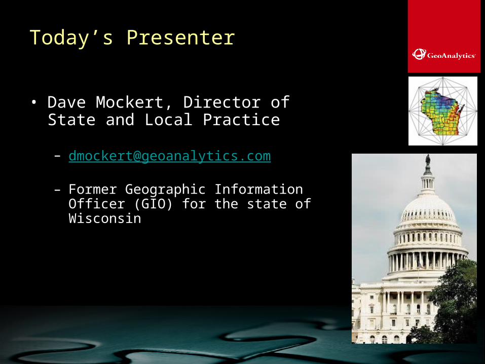
Today’s Presenter
• Dave Mockert, Director of State and Local Practice
– Former Geographic Information Officer (GIO) for the state of Wisconsin

Agenda
• WI GIS Coordination Activities
• The Job of the (new) GIO
• The New World of GIS – The New Web
• Location Matters – Importance of Geospatial
• Leveraging the Collective Investment in GIS
• Questions

The Need for Coordination
– Coordination is the act making different people or things work together for a goal or effect. The resulting state of working together; cooperation; synchronization.

Need for Coordination
• WI Examples
– Tornados
– SW WI Floods
– W WI Pseudo-Rabies

Menominee Tornados – June 11


STATEWIDE GIS STRATEGY

The Plan
Wisconsin Location Matters A Statewide Geographic Information Strategy

The Plan – 5 Goals
Goal 1: Improve Coordination
Goal 2: Establish a Robust Data Framework
Goal 3: Provide Geographic Information Services
Goal 4: Obtain Funding
Goal 5: Promote Education and Awareness

Next Steps
• Establishment of Coordinating Council
• Communicate Strategic Priorities
• Develop Specific Implementation Plans

Benefits of the Council
Coordinate Activities
Promote Standards
Support Programs
Facilitate Sharing

Job of the (New) GIO

Today’s Challenges – Establishing GIS
Must Show:• Measurable results
• Benefits of expenditures (ROI) in:– Savings
– Increased/Improved Services
• Improvements in efficiency, accuracy, accessibility
• We can do more with less
BusinessEfficiency
ProcessAutomation
Accessibility
RegulatoryRegulatory

Vision
WIGICC is a sustainable, stakeholder-
governed, statewide mechanism that
provides leadership and direction for the
cooperative development and use of
geographic information and technologies.
Wisconsin Geographic Information Coordination Community

Mission
WIGICC facilitates the delivery of public
services, encourages economic
development, and helps protect the public
and the environment by improving the
quality, accessibility, utility, and value of
geographic information and technologies.
Wisconsin Geographic Information Coordination Community

Roles
• Provide statewide leadership, support, guidance, and strategic planning
• Coordinate the acquisition and development of geographic information
Wisconsin Geographic Information Coordination Community

Roles
• Facilitate equitable access and sharing of geographic information
• Provide a forum to address policy issues surrounding geographic information and related data, including open records, liability, licensing, and privacy
Wisconsin Geographic Information Coordination Community

Role
• Advise and consult with stakeholders and decision makers on the appropriate use of geographic information technology to address critical societal issues, and on related capital expenditures
Wisconsin Geographic Information Coordination Community

Working Groups
Group 1
Group 2
Group 3
Committees
Council Operations
Policy & Planning
Communications
Data Infrastructure & Services
Government
Forums
WIGICC
Network
WIGICC - Executive Council

Listening Session Attendees
% Participants by Sector CountyPrivateStateMunicipalAcademicFederalTribalNon-ProfitOther

Coordination Outcomes
• Reduce redundant efforts
• Set the stage for future GIS capabilities
• Improve Interaction and Communication

The New GIS – The New Web
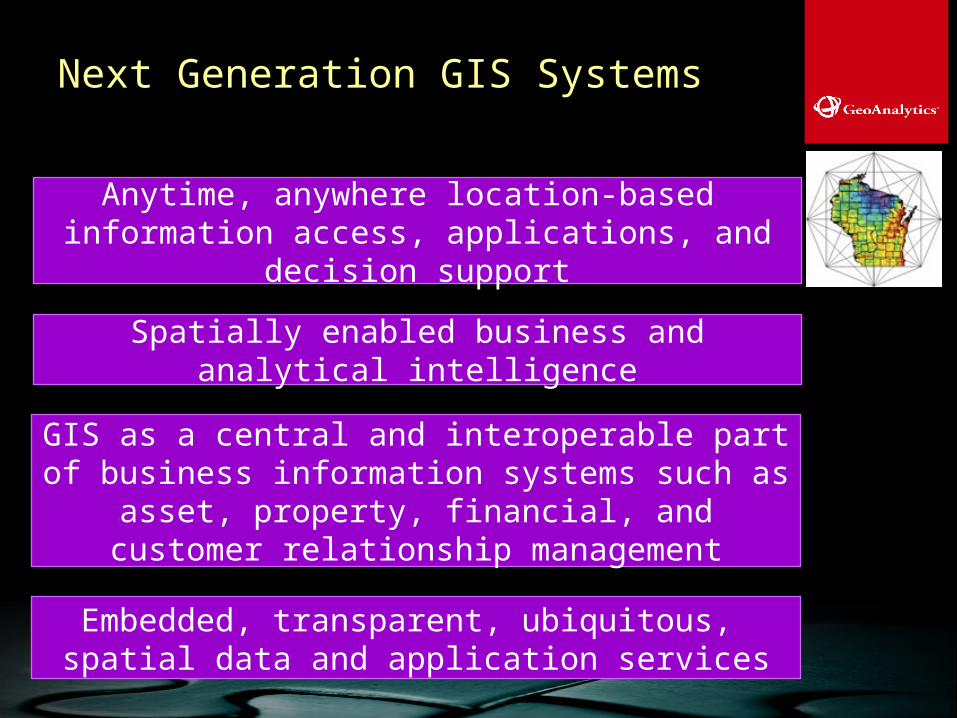
GIS as a central and interoperable part of business information systems such as asset, property, financial, and customer relationship
management
Anytime, anywhere location-based information access, applications, and decision
support
Embedded, transparent, ubiquitous, spatial data and application services
Spatially enabled business and analytical intelligence
Next Generation GIS Systems

Location Matters – The Importance of Spatial

Leveraging the Collective Investment in GIS

“Don’t find a fault. Find a remedy.”
-HENRY FORD
American automobile manufacturer
Questions?Questions?

THANK YOU