Embed Size (px)
Citation preview
Geospatial CommissionAnnual Plan 2019/20
April 2019
ContentsChair’s foreword 03
Executive summary 04
Part 1 - Work to date 06
Establishment of the Geospatial Commission 06
Evidence gathering 07
Live projects - overview 10
Part 2 - Looking ahead 14
Geospatial policy - first principles 14
Emerging longer term priorities 16
Pillar 1: Unlocking value in key sectors 17
Infrastructure and Construction - underground assets 18Housing, Land and Planning 19
Pillar 2: Growing the geospatial ecosystem 21
Data improvement 21Technology, innovation and adoption 21Skills and capability 21
21

Chair’s forewordGeospatial Commission Annual Plan
3
Chair’s foreword
Sir Andrew Dilnot
We are living through an extraordinary period of technological change, fuelled by a growing appetite for engaging with our digital lives, commercial need to find new ways of serving customers and a desire within the public sector to offer innovative and effective services. This is changing how we live, work, and travel.
Data, in all its forms, is central to much of this change, and geospatial data – that is, data about location – is a vital element. We know that this data, combined with emerging technologies such as augmented data analytics, immersive technologies, and edge computing is giving us a new level of insight and evidence about our place in the world, making it at once larger and smaller.
The increasing relevance of geospatial data presents a clear and valuable global economic opportunity. It enables improved performance and new insights for business and consumers in a range of new and advancing markets. Utility companies rely on geospatial data to identify existing and new customers when managing, upgrading and expanding those networks. The uses of anonymised customer data collected by telecoms companies are becoming increasingly widespread and can provide intelligence about where people like to shop or eat, and who with. Insurers are using geospatial data to assess risk and adjust premiums based on not only where a vehicle is stored, but also combined with real-time data about where, when, and how the vehicle is being driven.
Access to high-quality geospatial data is necessary, and often critical, for effective and efficient public services. Buses that follow the optimal route, and trains scheduled to a convenient timetable not only support the nation’s productivity but also contribute to our sense of wellbeing. The planning and land registration processes that enable the housing market to function are underpinned by geospatial data. For some services that rely on geospatial data, such as our emergency services, having the right data is a matter of life and death.
These uses of geospatial data are already transforming services across the private and public sectors, helping to deliver economic growth and increased productivity. The Geospatial Commission’s Annual Plan 2019/20 sets out the range of activities that we will undertake this year to develop the UK’s National Geospatial Strategy. This work builds on the evidence gathering and initial investments we have made so far, and surfaces some of the fundamental questions we need to begin to answer in order to ensure we are effective.
I am excited to be a part of the UK’s journey to realise this value, seeking to place the UK at the forefront of this new technological wave.
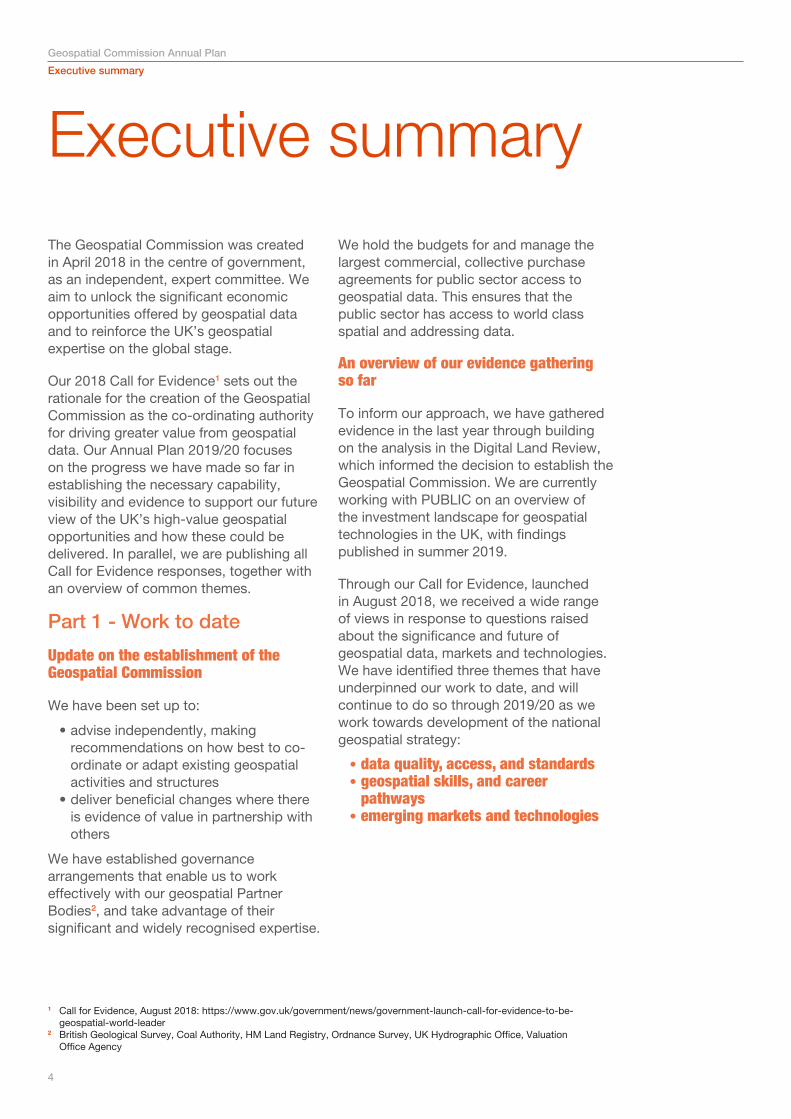
Executive summaryThe Geospatial Commission was created in April 2018 in the centre of government, as an independent, expert committee. We aim to unlock the significant economic opportunities offered by geospatial data and to reinforce the UK’s geospatial expertise on the global stage.
Our 2018 Call for Evidence1 sets out the rationale for the creation of the Geospatial Commission as the co-ordinating authority for driving greater value from geospatial data. Our Annual Plan 2019/20 focuses on the progress we have made so far in establishing the necessary capability, visibility and evidence to support our future view of the UK’s high-value geospatial opportunities and how these could be delivered. In parallel, we are publishing all Call for Evidence responses, together with an overview of common themes.
Part 1 - Work to date
Update on the establishment of the Geospatial Commission
We have been set up to:
• advise independently, making recommendations on how best to co-ordinate or adapt existing geospatial activities and structures
• deliver beneficial changes where there is evidence of value in partnership with others
We have established governance arrangements that enable us to work effectively with our geospatial Partner Bodies2, and take advantage of their significant and widely recognised expertise.
We hold the budgets for and manage the largest commercial, collective purchase agreements for public sector access to geospatial data. This ensures that the public sector has access to world class spatial and addressing data.
An overview of our evidence gathering so far
To inform our approach, we have gathered evidence in the last year through building on the analysis in the Digital Land Review, which informed the decision to establish the Geospatial Commission. We are currently working with PUBLIC on an overview of the investment landscape for geospatial technologies in the UK, with findings published in summer 2019.
Through our Call for Evidence, launched in August 2018, we received a wide range of views in response to questions raised about the significance and future of geospatial data, markets and technologies. We have identified three themes that have underpinned our work to date, and will continue to do so through 2019/20 as we work towards development of the national geospatial strategy:
• data quality, access, and standards• geospatial skills, and career
pathways • emerging markets and technologies
Executive summaryGeospatial Commission Annual Plan
1 Call for Evidence, August 2018: https://www.gov.uk/government/news/government-launch-call-for-evidence-to-be-geospatial-world-leader
2 British Geological Survey, Coal Authority, HM Land Registry, Ordnance Survey, UK Hydrographic Office, Valuation Office Agency
4
Executive summaryGeospatial Commission Annual Plan
Recent progress on our current live projects
Throughout 2018/19, we have made initial investments to inform our approach to better use of geospatial data. These include improving business access to OS’ MasterMap asset, working with our Partner Bodies to help improve and unlock the value to the data they hold, and testing innovations to data collection through crowdsourcing geospatial data.
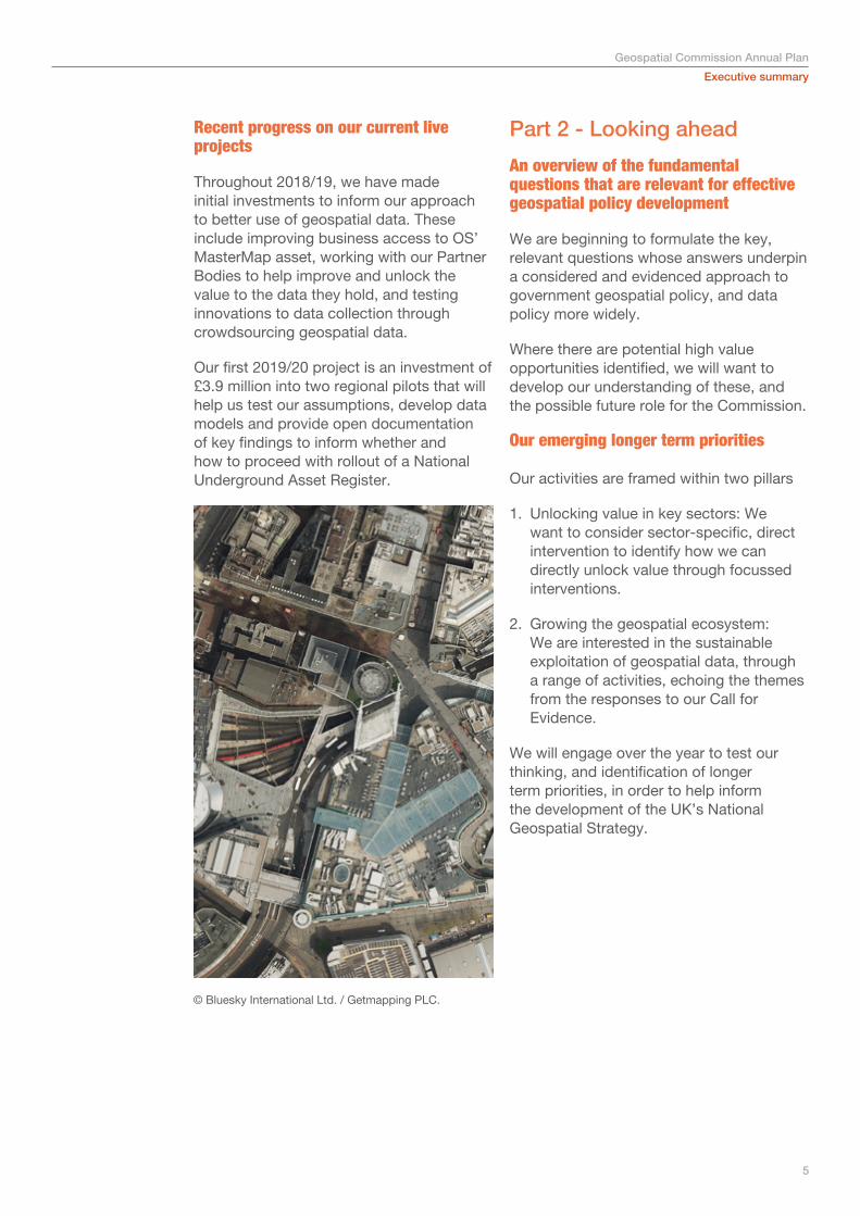
Our first 2019/20 project is an investment of £3.9 million into two regional pilots that will help us test our assumptions, develop data models and provide open documentation of key findings to inform whether and how to proceed with rollout of a National Underground Asset Register.
Part 2 - Looking ahead
An overview of the fundamental questions that are relevant for effective geospatial policy development
We are beginning to formulate the key, relevant questions whose answers underpin a considered and evidenced approach to government geospatial policy, and data policy more widely.
Where there are potential high value opportunities identified, we will want to develop our understanding of these, and the possible future role for the Commission.
Our emerging longer term priorities Our activities are framed within two pillars
1. Unlocking value in key sectors: We want to consider sector-specific, direct intervention to identify how we can directly unlock value through focussed interventions.
2. Growing the geospatial ecosystem: We are interested in the sustainable exploitation of geospatial data, through a range of activities, echoing the themes from the responses to our Call for Evidence.
We will engage over the year to test our thinking, and identification of longer term priorities, in order to help inform the development of the UK’s National Geospatial Strategy.
5
© Bluesky International Ltd. / Getmapping PLC.
Part one - Work to date - Establishment of the Geospatial CommissionGeospatial Commission Annual Plan
6
Work to date1Establishment of the Geospatial Commission
The Geospatial Commission is uniquely set up. We have a mandate3 and a programme budget that allows us to:
• independently advise, making recommendations accordingly on how best to co-ordinate or adapt existing geospatial activities and structures
• deliver beneficial changes where there is evidence of value in partnership with others
Our remit extends to both the public and private sectors.
We hold the budgets for and manage the largest commercial, collective purchase agreements for public sector access to geospatial data4, including to Ordnance Survey’s (OS) MasterMap data and Royal Mail’s postcode data.
Throughout 2018, we have recruited a team of geospatial sector, data and technical experts. They work alongside the functional capability (commercial, policy, analysis, secretariat, finance, communication, project management) required to develop and deliver the high-value outcomes of our cross-cutting remit.
We have established governance arrangements that enable us to work effectively with our geospatial Partner Bodies5, and take advantage of their significant and widely recognised expertise. In specific circumstances, detailed later in the document, we have extended our working relationships to those of delivery partners, where we are working together on our first exploratory projects to help shape our approach to better access to geospatial data.
We have engaged widely with the public sector, central government departments and other public bodies. We have led on relevant cross-cutting sectoral (housing, land and planning, transport, environmental) and policy (data pricing and access, innovation, technology) initiatives. We have also run an extensive engagement campaign with public sector organisations that are users of our Public Sector Mapping Agreement to further understand their requirements for geospatial data and build on the success of the current arrangements. And we have established open relationships with those at local levels, in Devolved Administrations, and internationally, including through the UN GGIM (Global Geospatial Information Management).
3 See Geospatial Commission Charter, as published at Annex A of the Geospatial Commission Call for Evidence4 The Geospatial Commission, on behalf of the public sector in England and Wales is responsible for managing three
contracts with OS, the Public Sector Mapping Agreement, OS OpenData contracts and the Greenspace mapping contract. The Commission is also responsible for the Postcode Address File Public Sector Licence with Royal Mail, and the Aerial Photography Great Britain# contract with Bluesky International and Getmapping PLC. These contracts ensure that the public sector has access to world class spatial and addressing data to underpin their delivery of effective and efficient public services.
5 British Geological Survey, Coal Authority, HM Land Registry, Ordnance Survey, UK Hydrographic Office, Valuation Office Agency.
In January 2019, Sir Andrew Dilnot was appointed as chair of the Geospatial Commission, and Nigel Clifford as deputy chair, with recruitment for our remaining commissioners ongoing.
The increasing relevance of geospatial data and its role as an enabler of emerging technologies mean that the wider public sector will play a key role in realising the geospatial opportunities in partnership with us.
The government has already chosen to invest in other aspects of the key infrastructure that will be required by these emerging technologies. This includes through key activities in its National Productivity and Investment Fund, which has allocated £37 billion to fund activities supporting the rollout of 5G mobile and fibre broadband networks, housing development and better transport networks.
Efficient delivery of this fundamental infrastructure will rely on new geospatial data, as will the development of Connected Autonomous Vehicles and Vessels, both on land and sea. This has seen recent government investment of £390 million. The government is also considering its strategic approach to supporting UK mobility, data access and cross-cutting technologies that will have a high economic and social impact, such as AI, through the Industrial Strategy.
Realising the full potential of these strategic approaches and future technologies for the UK will require a significant update to our geospatial capabilities.
Throughout 2019/20, we will continue to develop our capability, key relationships and leadership, as we work in partnership to leverage the value of geospatial data.
Evidence gathering
Call for Evidence In August 2018, we published a Call for Evidence, containing 21 questions about the value and relevance of geospatial data now and into the future. We are grateful for the high quality and number of responses we received from a broad range of stakeholders. We have published these responses today.6
Most evident from the responses we received was the markedly wide range of views about what our priorities should be. This includes in relation to key questions such as:
• How can we best define geospatial data?
• What are the key future geospatial datasets and technologies?
• In which sectors should we focus our efforts?
Rather than singling out particular proposals among the hundreds put to us, we have here identified a number of themes that will inform thinking and actions as we develop our work plan for this year.
Data quality, access, and standards: Almost all responses raised the key challenge that geospatial data is often of varying quality. This hampers the ability to achieve valuable insights using the data and the quality of any products created using it.
There were also concerns about the ability to access the data that was available. This ranged from the challenge of knowing what data existed, to navigating potentially complex data licencing arrangements. Many responses cited the challenge of connecting different datasets and the role that agreed data standards could have to improve interoperability.
6 https://www.gov.uk/government/publications/geospatial-commission-call-for-evidence-responses
Emerging geospatial strategyGeospatial Commission Annual Plan
7
Part one - Work to date
8
Geospatial Commission Annual Plan
As a way of tackling this, some responses called for the creation of a “single platform” to bring together key geospatial data. These looked to solve a variety of apparent challenges – in particular, reducing the fragmentation of datasets, reducing the duplication of cost and effort in sourcing data, and providing an authoritative dataset for users.
Many responses raised concerns about addressing data in particular, specifically that there are multiple sources of address data and the difficulty in linking up key address datasets.
Geospatial skills, and career pathways: Many responses cited an apparent skills gap in the geospatial sector, and the need for an improved geospatial skills offer in formal education and in the workplace. Some also raised the need for a clearer geospatial career pathway to encourage interest and retention of skilled individuals.
Emerging markets and technologies: The opportunities offered by emerging and future technologies in the collection, storage, and analysis of geospatial data were raised in many responses, and the future data requirements that might be needed in order to support rollout of emerging technology.
The role of the public sector in promoting and facilitating innovation in the private sector in the context of new and emerging markets was raised in several responses. The OS and HM Land Registry Geovation Hub was cited as an exemplar.
Evidence on geospatial sectors and technologies ‘An Initial Analysis of the Potential Geospatial Economic Opportunity’ was published by the Cabinet Office in 2018. It sets out the findings of the cross-departmental working group asked by the Prime Minister to assess the opportunities and options for better use of geospatial data, which ultimately led to the creation of the Commission.7 It identified a wide range
of ‘unlocks’ that would help to release significant economic value. The analysis of the following private sector use cases alone suggested potential economic value of up to £6 billion to £11 billion per year.
• sales and marketing• property and land• infrastructure and construction• mobility• natural resources
The public sector use cases were:
• housing, land and planning• security, emergency planning and
response• transport and logistics• the environment• citizen engagement and service delivery
Over the course of the year we have built on this analysis. We have sought to identify the priority sectors and interventions that will enable us to unlock value rapidly, and where the need for government intervention is clearest. This work helped identify and direct the early projects that we have undertaken in our first year.
The input into our thinking is not just limited to data on the land surface. We also recognise the significant value in subsurface data, and the importance of marine geospatial data to the ‘blue economy’, which was recently valued by the OECD as having a global value of US$1.5 trillion per year.8
We have also commissioned a review of future technologies and their value for geospatial data, which is being conducted in conjunction with PUBLIC. This will map out the investment landscape for geospatial technologies in the UK. The review will also provide insights into what the key emerging technologies are that will affect the geospatial data landscape in the coming years. As part of this work, key technology and investment industry leaders will be engaged, with findings to be published later in 2019.
7 An Initial Analysis of the Potential Geospatial Economic Opportunity8 The Ocean Economy in 2030, OECD (2016)
Emerging geospatial strategyGeospatial Commission Annual Plan
9© British Geological Survey
Part one - Work to dateGeospatial Commission Annual Plan
10
Overview of live projects
Throughout 2018/19, we have made some initial investments to inform our approach to better use of geospatial data and deliver to existing policy commitments for which the Geospatial Commission now has policy responsibility.
Open MasterMap In June 2018 we announced that key parts of Ordnance Survey’s (OS) highly detailed OS MasterMap would be made completely open under the Open Government Licence (OGL), with the remaining data being made freely available up to a threshold of transactions. As part of this programme, OS is making the data easier for developers to access and use, including developing a suite of APIs and making interoperability improvements. We estimate that this will release up to £130 million per annum of economic value to the economy.
This is a key step in making the UK’s geospatial data infrastructure more open and accessible. By doing this, and reducing friction that might have previously hindered its use, we believe that businesses will be able to deliver new products and services, particularly in the housing market. A new errors reporting service will also enable continuous improvement of the data and help to maintain this important UK asset.
OS have run a number of successful trials with their Customer Advisory Group to develop the products and APIs that will give improved access to spatial data. In addition, some early improvements have been launched, including:
• the well-received release of OS Open Zoomstack in January 2019, which provides a single, customisable map of Great Britain at national and local levels and makes OS open data more accessible, customisable and easier to use
• updated and simplified guidance to demystify the licensing of public sector derived data
The remainder of the improved discoverability, accessibility and interoperability changes will be introduced later in the year.
Geo6 data improvement projects Our Partner Bodies, ‘the Geo6’10, are responsible for some of the high-value geospatial datasets in the UK that underpin many of the most valuable use cases identified in the Digital Land Review. In October 2018 we launched a £5 million fund to support collaborative projects across the Geo6 that help to improve these foundation datasets. We launched four projects to help improve the data and unlock value and address the challenges set out in the DLR:
• making the data held by the Geo6 more easily discoverable
• simplifying the licensing landscape across the Geo6
• identifying ways of linking data from different agencies
• understanding how third-party and crowdsourced data is and could be used by the Geo69
9 British Geological Survey, Coal Authority, HM Land Registry, Ordnance Survey, UK Hydrographic Office, Valuation Office Agency. https://www.gov.uk/government/news/value-of-location-data-to-be-unlocked-by-government-investment
10 Funding awarded to innovative data projects
These have sought to address commonly identified needs. The first wave of these projects have now concluded and produced:
• a common data exploration license with consistent terms and conditions across all six agencies, launched on 18 April 2019
• comprehensive data catalogues for each agency published on data.gov.uk
• the first phase of a review on how to increase the integration potential of different datasets across Partner Bodies and beyond, in order to drive both operational efficiency and innovation
The benefits of these outputs are already being realised and are helping to guide our thinking for next year. This programme of work has also established new structures and ways of working across the Geo6 that support future collaboration. Other holders of geospatial data have already expressed an interest in this ongoing work, and the Geo6 are also keen to share what they have learnt. For example, external organisations have expressed interest in the digital catalogues while also pointing to further datasets that could be incorporated.
Crowdsourcing geospatial data In 2018 we partnered with InnovateUK to launch a new government competition for a share of £1.5 million to fund projects which use data linked to location. The aim of the competition is to explore the benefits and challenges of crowdsourcing data, and encourage organisations to work together to identify innovative new ways of crowdsourcing data.
Applicants were asked to develop projects that would improve the delivery of public services, support the third sector or enhance the quality of open public datasets. We received 66 entries to the competition, and 10 organisations have been successful in securing part of the pot set aside by the Commission to fund the competition winners into 2019/20.11 The proposed projects cover a range of sectors, from health and social care and environmental analysis through to public interaction and enhancing the 5G capability nationally.
We are looking forward to working with the successful applicants and learning from their work as we develop our strategy.
Postal Address File Public Sector Licence renewalWe know that address data is fundamental to the public sector in their provision of services and interactions with citizens. For example, all emergency service command and control centres require detailed and accurate address data to respond effectively to emergency calls. Address data is also essential for the vast majority of Local Authority services including delivering safe routes to schools, and the planning process.
We have successfully agreed terms with Royal Mail for a further 12-month extension to the PAF Public Sector Licence that underpins critical public services use of address data.
11 Funding awarded to innovative data projects: https://www.gov.uk/government/news/funding-awarded-to-innovative-data-projects
Emerging geospatial strategyGeospatial Commission Annual Plan
11
12
Part one - Work to dateGeospatial Commission Annual Plan
12
© Ordnance Survey

Emerging geospatial strategyGeospatial Commission Annual Plan
13
© Bluesky International Ltd. / Getmapping PLC.
Part two - Looking aheadGeospatial Commission Annual Plan
Looking ahead2
Geospatial policy - first principles
The UK already has considerable geospatial expertise among its globally recognised expert bodies. The Geospatial Commission has been established to ensure the whole is greater than the sum of its parts, being both an intelligent customer on behalf of the public sector, and a guiding mind in the design and delivery of the UK’s high-value geospatial opportunities.
All of our engagement, evidence gathering and investments so far have been aimed at helping us determine future priorities. One of our next steps is to formulate a more concise and relevant view of the key questions we would expect to be able to answer to design the UK’s National Geospatial Strategy.
Our thinking is still nascent. However, it is clear that there are fundamental questions.
Geospatial markets, technologies and business models We are interested in developing our understanding of the ‘geospatial market’ including whether a clear definition is possible, and how this may change through innovative use of technology and the adoption of new business models.
We want to understand what the structure of the geospatial market is today, as well as how this may be changing. We will develop our thinking on, for example, what customer behaviour looks like in geospatial markets, and if the development of markets is inhibited by the unavailability of specific data content.
We are aware that innovative uses of technologies and new business models are disrupting the sector and offering new solutions to consumers. We want to understand what the key emerging technologies that will affect the geospatial market are, what the investment landscape looks like, and how this may change and affect the sector.
Access to data This covers a broad spectrum of issues, many of which were raised in response to our Call for Evidence. Examples include discoverability, standards, and currency of data as well as on what terms data can be accessed (e.g. through licenses; for free etc), and how public bodies are set up and funded to support the collection and maintenance of quality data.
As part of this, we will consider how we define geospatial data and if (and how) it is unique compared to other data types. Our thinking will consider data ownership (e.g. property rights), data security and data privacy.
High-value geospatial opportunities With so many potential opportunities, we need to focus our efforts and target resources on the highest value opportunities. Analysis that we published alongside the Call for Evidence set out specific interventions in five key sectors that would release significant economic value.12
12 These were; sales and marketing, property and land, infrastructure and construction, mobility and natural resources
14
Part two - Looking aheadGeospatial Commission Annual Plan
We will want to understand and measure the specific opportunities here, and as part of this thinking we will want to establish how we can effectively value geospatial data.
Placing a value on geospatial data is a challenging task. Prices paid for geospatial data or related services often do not reflect the full value perceived by data users. Benefits which are realised from the use of geospatial data not only benefit direct data users but can also benefit others, indirectly or through positive spillovers. As technology and markets develop, it is likely that future uses will emerge that are not precisely known today, which can result in us underestimating the value of data. Rationale for government intervention We are considering the role that government has to play in the geospatial sector as part of our strategy development over the coming year.
There are a number of principles that could explain the rationale and mechanisms for government intervention. These include addressing a market failure,13 and promoting geospatial data to enable development of nascent technologies and markets. We will also seek to avoid intervening and distorting markets, where the private sector would otherwise effectively deliver.
Intervention could take several forms, recognising the unique levers that government holds to improve the UK’s geospatial data infrastructure, including as a funder, steward, legislator, regulator and other roles.
15
13 Where government might intervene because the market left to itself cannot be expected to achieve the best outcome.
Part two - Looking aheadGeospatial Commission Annual Plan
Emerging longer-term priorities
Through our work to date, we have a view about where our immediate future priorities could lie. This view will continue to be tested and evidenced through our ongoing project delivery, and feed into our future recommendations and the National Geospatial Strategy. As set out in the section on live projects, and based on evidence, we have started to invest in a number of discovery and pilot activities to test our emerging thinking that our activities will be focused into two pillars:
1. unlocking value in key sectors: we want to consider sector-specific, direct intervention to identify how we can directly unlock value through focused interventions
2. growing the geospatial ecosystem: we are interested in the sustainable exploitation of geospatial data, through a range of activities, echoing the Call for Evidence themes:
• data improvement• building skills and capability • technology, innovation and adoption
16
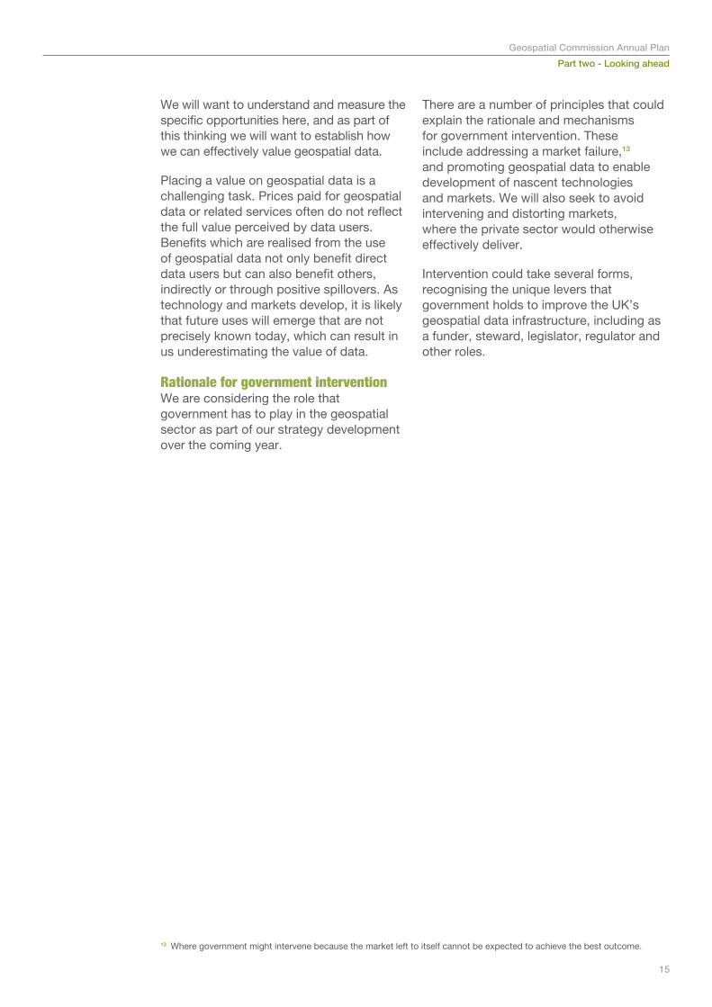
© UK Hydrographic Office
Pillar 1: Unlocking value in key sectors
Carefully selected use case demonstrators are a unique opportunity for us to test how to make significant impact in stimulating the economy. At the same time we would be able to test ideas and learn lessons across a broad range of areas, which can then be applied in a wider context. This approach allows us to take managed risks where incentives are currently perhaps misaligned to demonstrate the value of a project or concept. This then potentially allows other organisations to take the activity forward in a sustainable way.
Building on the analysis undertaken for the Digital Land Review, we will focus on potential interventions in the infrastructure and housing, land and planning sectors. We believe these areas represent significant value, and are where we have seen the greatest opportunity to progress and learn through the year. In parallel we will look at other key sectors, from environment, transport and sales and marketing to develop a programme of activity for future years.
17
Part two - Looking aheadGeospatial Commission Annual Plan
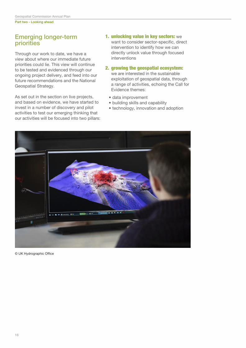
CEO of Northumbrian Water, Heidi Mottram CBE with Minister for Implementation, Oliver Dowden CBE
Part two - Looking aheadGeospatial Commission Annual Plan
Infrastructure and construction - underground assets
Every construction and infrastructure project must source information on buried utility assets (cables, pipes, sewers, ducts) when preparing ground investigation and excavation work. Current practice is reportedly hugely inefficient. Multiple organisations have to be contacted with data delivered in varied formats, scales, quality, and on different timelines. This results in an increased risk of asset strikes with danger to life, project delays, cost overruns and disruption to traffic and local economies.
Over the past year we have conducted a research exercise of this space and engaged with a wide range of stakeholders to understand this market and develop our approach. We have also learned from international counterparts, including Finland, Denmark, the Netherlands and Belgium, who have all taken forward underground utility asset mapping programmes.
The Commission will be supporting two pilot projects building on and extending existing initiatives which are led by the Greater London Authority (GLA) in London and the Ordnance Survey in the North East of England. The GLA will focus on data conditioning and modelling, and the OS will provide the prototype platform and associated technical design and experience to test the use cases of safer digging and project and data-exchange efficiencies. This has a total estimated value of £245 million per annum. The delivery partners have highly engaged stakeholders groups who are critical to the success of the pilots.
The pilots will help us test our assumptions, develop data models and provide open documentation of key findings. These will be used to inform whether and how to proceed with the tender for a regional build and national rollout of a National Underground Asset Register.
International case study
Following a serious gas explosion in 2004, Flanders (northern Belgium) started to work on an underground asset register (KLIP) which is now operational and mandates all of its 300 utility companies to create and provide access to digital maps of their assets conforming to a common data model. A similar system is deployed in the Netherlands (KLIC) and is part of a wider geospatial strategy including a geological subsurface register, now enshrined in law. In cities such as Helsinki, Singapore and Hong Kong authorities have started to draw up integrated above/below ground spatial plans moving towards a three-dimensional planning system.
18
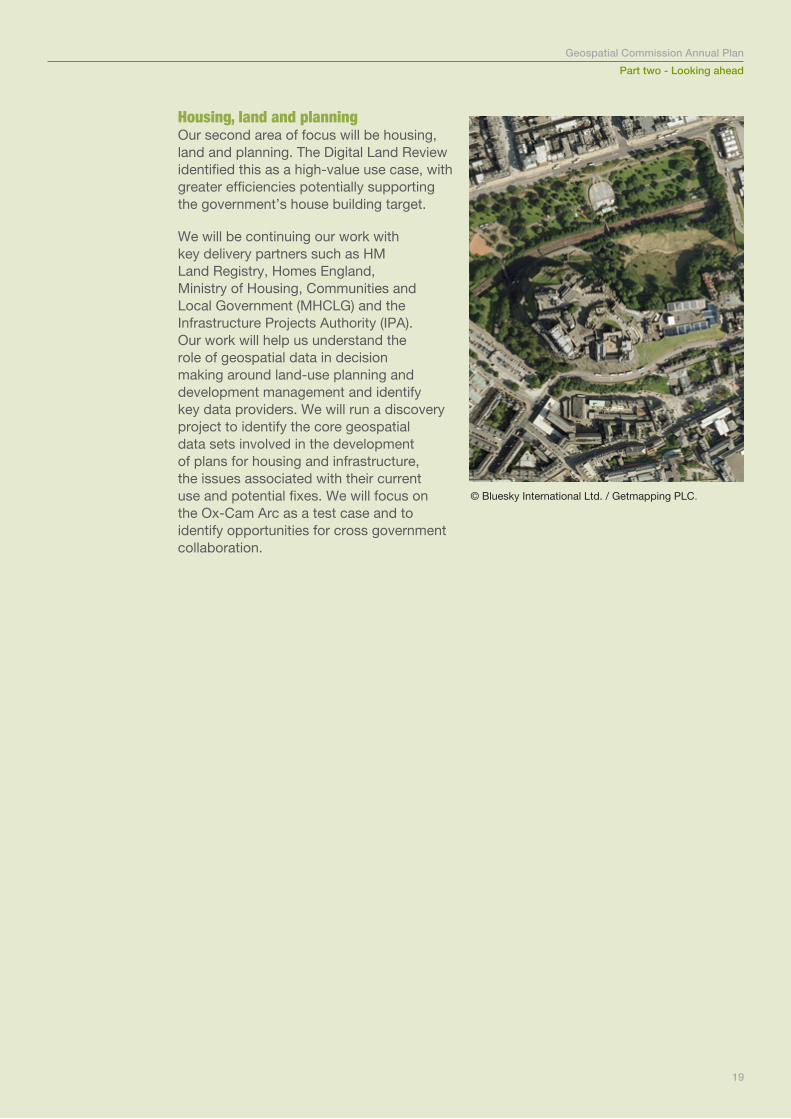
Housing, land and planning Our second area of focus will be housing, land and planning. The Digital Land Review identified this as a high-value use case, with greater efficiencies potentially supporting the government’s house building target.
We will be continuing our work with key delivery partners such as HM Land Registry, Homes England, Ministry of Housing, Communities and Local Government (MHCLG) and the Infrastructure Projects Authority (IPA). Our work will help us understand the role of geospatial data in decision making around land-use planning and development management and identify key data providers. We will run a discovery project to identify the core geospatial data sets involved in the development of plans for housing and infrastructure, the issues associated with their current use and potential fixes. We will focus on the Ox-Cam Arc as a test case and to identify opportunities for cross government collaboration.
Part two - Looking aheadGeospatial Commission Annual Plan
19
© Bluesky International Ltd. / Getmapping PLC.

Part two - Looking aheadGeospatial Commission Annual PlanPart two - Looking aheadGeospatial Commission Annual Plan
20© Ordnance survey
Pillar 2: Growing the geospatial ecosystem
Just as you can’t build a house without solid foundations, the conditions for realising the full value from the UK’s geospatial data need to be right.
We are already taking a number of routes into improving the underlying geospatial ecosystem, including with our Partner Bodies, and through our second year will be building on this to inform our strategy development. We will consider:
i. Data improvement• How can we increase the quality
of data, enable easier access to data and make geospatial data easier to use?
ii. Technology, innovation and adoption• How can we support the development
of geospatial businesses and commercial activity, and encourage the adoption of emerging technologies?
iii. Skills and capability• How can we raise the profile of
geospatial skills, careers and their value to the economy?
• How can we identify short and long term skills gaps, embed technology, and learn from international exemplars?
i. Data improvementResponses to the Call for Evidence and the wider evidence base suggest that to maximise the value from geospatial data, it needs to be easily discoverable, available, simple and cost effective. Through our initial investments, including early Geo6 projects, and our crowdsourcing competition, we have started to address some of these issues. In 2019/20, we intend to develop our data improvement work focusing on three complementary approaches. Firstly, we will continue and extend delivery on key, live data improvement projects
• We will work with the Geo6, to continue the momentum from 2018/19 into 2019/20 with a round of follow on work that builds on the outputs to date, and working towards a useable and accessible national geospatial data asset, focusing on:
– licensing, which will aim for more harmonised terms for cross-government use and commercial re-use/reselling, and to develop a standard for delivering machine readable licences
– linking data, which will work towards a proof of concept tool to enable correlation relationships to be shared
– data discoverability, which will seek to extend the scope and content of the published data catalogues
Part two - Looking aheadGeospatial Commission Annual Plan
21
Part two - Looking aheadGeospatial Commission Annual Plan
• We will continue to deliver the commitments of our Open MasterMap (OMM) programme making key parts of OS MasterMap completely open under the OGL license, with the remaining data being made freely available up to a threshold of transactions, developing a suite of APIs and making interoperability improvements. We will also continue working with OS, Local Government Association, GeoPlace, and the Improvement Service on behalf of Scottish local government to investigate opening up the Unique Property Reference Number and the Unique Street Reference Number (UPRN/USRN) with associated geometry. We hope to update on this in the summer.
• We will build on the current work to develop a replacement for the Public Sector Mapping Agreement and aiming for a new arrangement from April 2020, subject to commercial negotiations. We will also shortly be commencing a procurement to replace the Aerial Photography Great Britain contract, as well as working closely with Royal Mail to further refine and improve the PAF Public Sector Licence. In addition we will be looking to develop similar public-sector-wide arrangements with other key data providers to ensure the public sector has the best possible access to high-quality geospatial datasets. We plan on having new agreements in place for April 2020.
Secondly, we will explore in greater detail the value and possible approach to providing streamlined and better access to geospatial datasets where there is evidence of high economic value and cross-sector benefit. Two such datasets are:
• Address data where we know that it is key for a wide range of users, from a command and control centre dispatching an ambulance, to an insurance company pricing a premium.
For many purposes, the current addressing ecosystem and datasets works well, but the addressing data landscape is complex. New uses are emerging as new technology and business models develop. It is clear from the response to our Call for Evidence and wider engagement that there are applications and areas that will require a different approach to addressing both people and property.
Given the diverse nature and requirements for addressing, and the complexity of the landscape, there is no single intervention to solve every challenge highlighted in the Call for Evidence. There are a series of targeted actions to improve the overall landscape, which we will explore with relevant stakeholders.
• Earth observation data has been identified by many as key with critical applications, such as environmental planning and management. There are a number of new uses that can help unlock economic potential, such as financial technology and retail.
Earth Observation technology is rapidly developing, with new sensor platforms being developed to give organisations powerful and timely data and imagery.
We are aware that a number of government and industry organisations are already working to maximise the opportunities the earth observation sector offers. So, we are working with key partners to ensure that any intervention we make within the sector helps to build and sustain existing initiatives. Earth observation and remote sensor-derived data will therefore be built into our approach to the geospatial ecosystem.
22
Thirdly, we will be carrying out a programme of work to understand how to shape and make our data approach coherent through exploring a holistic national spatial data infrastructure for the UK. This will include:
• determining our needs to deliver to national goals
• benchmarking the UK against international exemplars
• identifying gaps in capability• defining a prioritised roadmap of activity
to improve it
We will work closely with our Partner Bodies and relevant others to do this.
ii. Technology, innovation and adoption Much of the opportunity that geospatial data offers the UK will be realised by investments and decisions made in the private sector. However, we know that there is a role for government to support the private sector to create economic value.
We want to understand how the Geospatial Commission can support the development of new technologies and innovations that use geospatial technology. Throughout this year we will work to understand how we can:
• drive investment and commercial activity in geospatial applications
• enhance the UK’s geospatial assets by building our understanding of how businesses use (or don’t use) this data
• support innovative activities and emerging technologies, particularly by ensuring accessing the right skills and data, and support adoption of these technologies.
This will be a key theme that we continue to consult this year to inform the development of the strategy. To support this we will undertake a number of programmes, including pilot work around geospatial data hubs, and evaluative work.
Geospatial Innovation HubsWe want to understand more about the value of accelerator hubs in supporting the development of geospatially-focused businesses and applications, the role of government, and build our understanding of how these businesses use our geospatial data assets. Throughout this year we will conduct pilots and discovery work to build our understanding, and evaluate the success of past and potential innovation hubs.
We will seek to enable collaboration with a range of geospatial experts and Devolved Administrations who are keen to harness the development and commercial viability of geospatial innovative development.
As a first step, we are working with Geovation/OS and Registers of Scotland to explore how best to support/pilot a new innovation hub in Edinburgh to provide dedicated regional innovation support to location data and property technology startups. Geovation is an accelerator programme run by OS and HM Land Registry, designed to help location data and property technology start-ups launch and grow. It has supported over 86 companies, raised over £20 million, and created almost 100 jobs. We are keen to understand whether the success of the model can be replicated elsewhere in the UK.
Part two - Looking aheadGeospatial Commission Annual Plan
23
24
Part two - Looking aheadGeospatial Commission Annual Plan
iii. Skills and capability
The UK has some of the world’s best geospatial data assets. One action needed to maximise the value of geospatial data to the UK is improving capabilities and geospatial skills, to ensure that companies operating in the UK (including start-ups) have access to highly skilled talent.
We know there are short and long term challenges around encouraging people to learn about geospatial data. There is a shortage of skilled geospatial professionals in the job market and the value of geospatial skills need to be recognised at a senior level. The challenges apply for local authorities, across the wider public sector and in businesses of all sizes. We will be working towards establishing an evidence base for geospatial skills and capability. This will be a foundation on which to build future skills interventions, while also thinking about how to raise the profile of the geospatial profession and industry to attract the best talent to the field.
To support this the Commission will continue to engage closely with other key stakeholders such as MHCLG, Department for Education, the Civil Service Geography Profession, Royal Geographical Society, RICS, and AGI in the sector to inform future interventions to improve the geospatial skills landscape.

© Copyright HM Government 2019